The best mountain hikes around Vagli Sotto
4.7
(26)
161
hikers
18
hikes
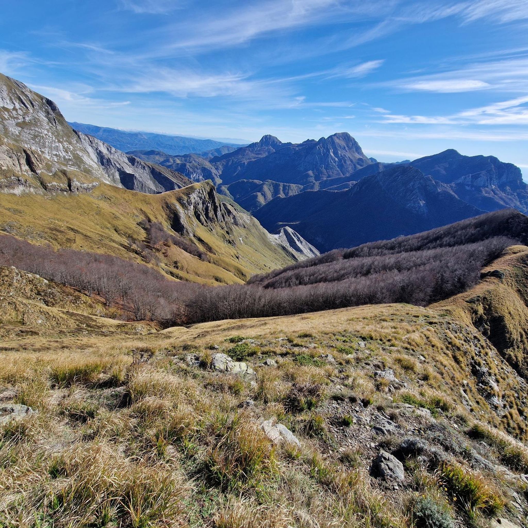
Mountaineering routes around Vagli Sotto are situated within the Apuan Alps, a region characterized by rugged terrain and dramatic marble peaks. The landscape features diverse mountain peaks, karst formations, and deep valleys, providing a challenging environment for mountaineers. Lush forests and waterways also contribute to the varied ecosystems encountered on the trails. This area offers significant elevation gains and requires good fitness and mountaineering skills.
Best mountaineering routes around Vagli Sotto
- The most popular mountaineering route is Summit of Monte…
Last updated: August 23, 2026
5.0
(3)
16
hikers
Hard mountaineering route. Very good fitness required. Sure-footedness, sturdy shoes and alpine experience required.
5.0
(1)
11
hikers
13.0km
06:44
1,320m
1,320m
Hard mountaineering route. Very good fitness required. Sure-footedness, sturdy shoes and alpine experience required.

Sign up for free
8
hikers
11.7km
04:30
650m
650m
Moderate mountaineering route. Good fitness required. Mostly accessible paths. Sure-footedness required.
5
hikers
12.6km
05:51
890m
900m
Hard mountaineering route. Very good fitness required. Sure-footedness, sturdy shoes and alpine experience required.
4.0
(1)
8
hikers
10.8km
04:40
740m
740m
Hard mountaineering route. Good fitness required. Sure-footedness, sturdy shoes and alpine experience required.
Get access to more routes and recommendations from other explorers.
Sign up for free
Already have an account?
Our route recommendations are based on thousands of hikes, rides, and runs completed by other people on komoot.
Start today with a free account
Your next adventure awaits.
Login or Signup

Tips from the Community


Climbing Monte Corchia starting from Passo Croce (in the municipality of Stazzema) is one of the most scenic and exciting hikes in the Apuan Alps. The complete loop takes about 5-6 hours and covers an elevation gain of about 550-600 meters (reaching 1678 meters in altitude), and it is classified as EE (Expert Hikers) due to some exposed and steep sections. Even with a MTB it is a beautiful scenic route, you follow the dirt road under the Corchia pinnacles up to a fork. To the left, you descend towards Fociomboli, Puntato, the ghost town of Col di Favilla, then to the Gufonaglia quarry where you need to pay close attention due to the very steep and stony road. Straight ahead from the fork, you reach the Del Freo refuge. Rifugio Giuseppe Del Freo - Pietrapana is one of the main alpine landmarks of the Apuan Alps, located at 1,180 meters above sea level in the grassy basin of Foce di Mosceta.
0
0
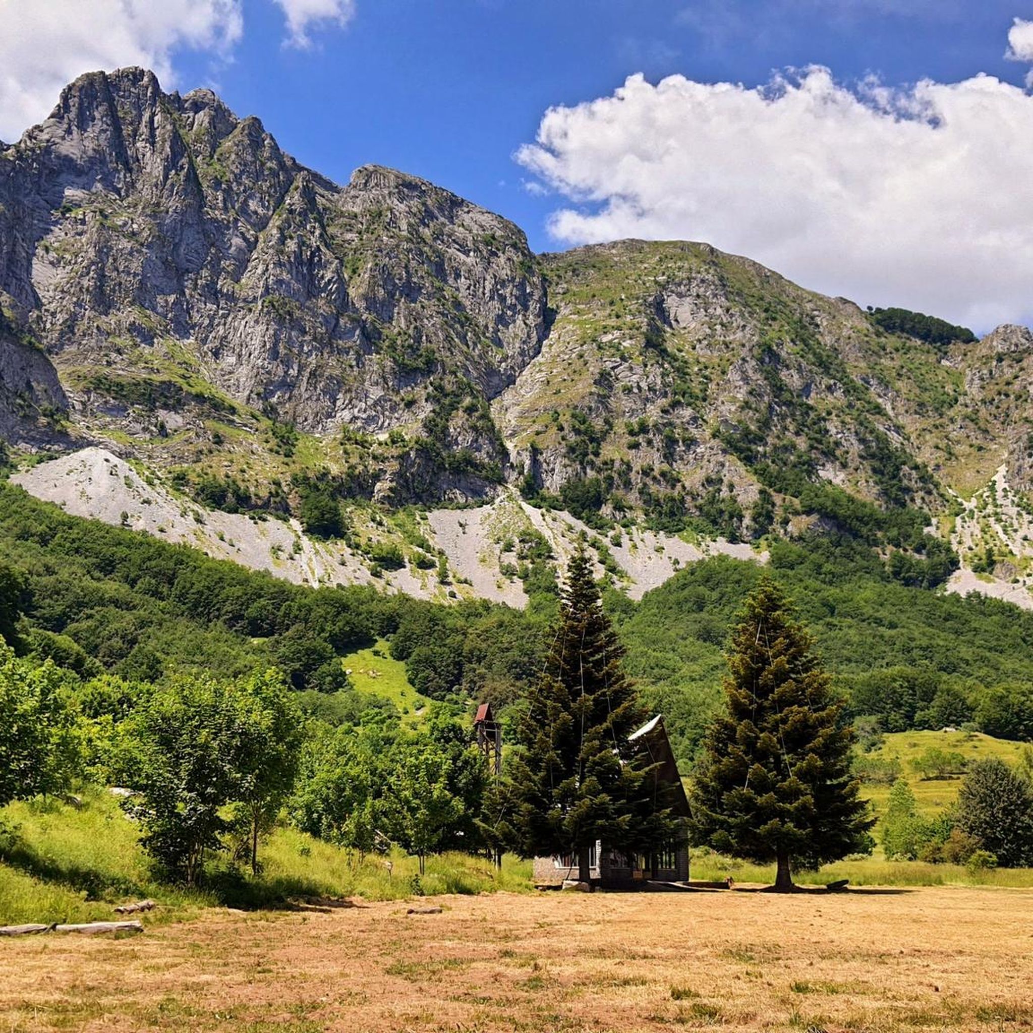
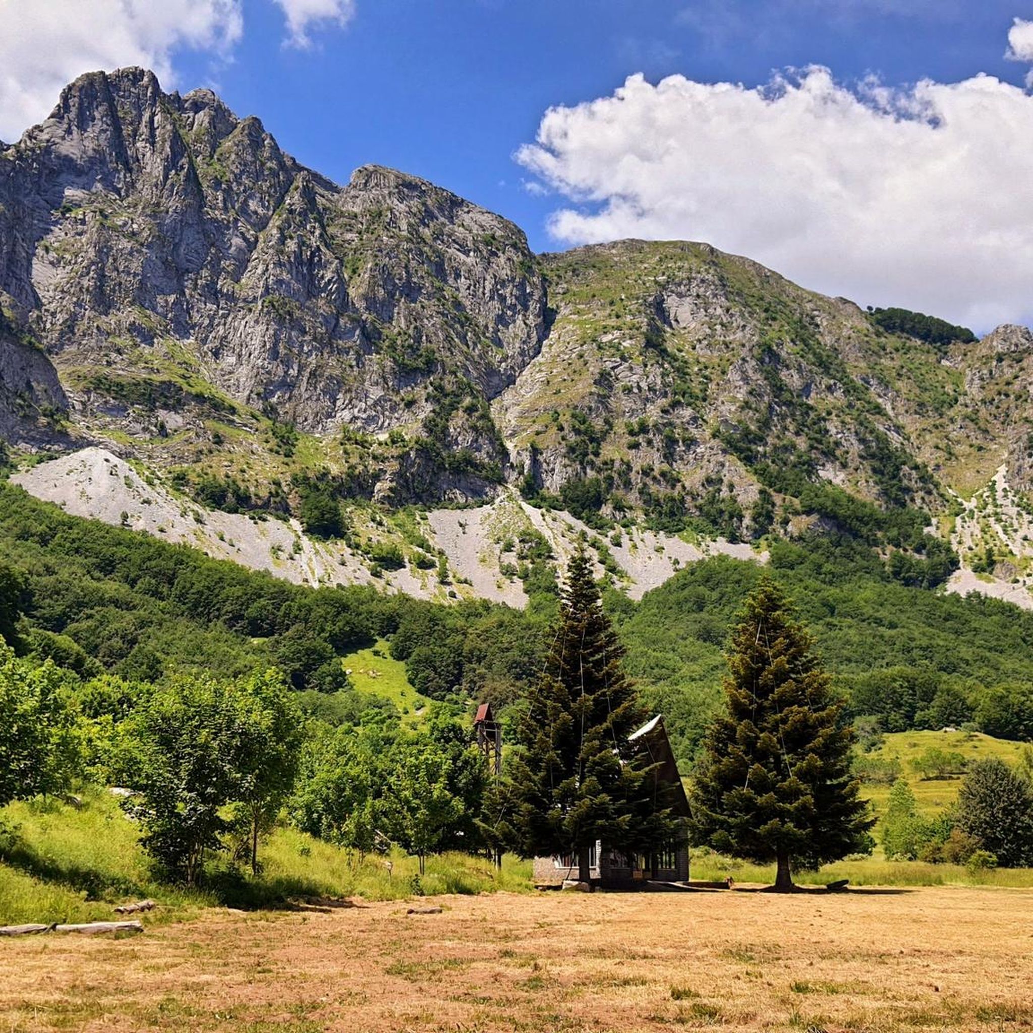
The Oasis of Campocatino is a mountain locality in the Apuan Alps, in the municipality of Vagli di Sotto, located at 1000 m above sea level, beneath the imposing wall of Monte Roccandagia. It includes a large basin of glacial origin, a testament to the extent of Quaternary glaciation in the Apennine area. Inside, we find the typical pastoral buildings called "caselli," which have been preserved with their ancient construction characteristics. Since 1991, it has become a "LIPU Natural Oasis." The coexistence of different environments and the natural integrity of the area have allowed the acclimatization of various bird species that reproduce there. Along the rocky walls, the Alpine chough and the Wallcreeper nest; in the high-altitude meadows and pastures, the Skylark, the Rufous-tailed Rock Thrush, the Wheatear, and the Greater Short-toed Lark are observed, while the woods below are populated by the Blackcap, the Goldfinch, the Chaffinch, the Brambling, the Firecrest, the Dartford Warbler, the Robin, the Eurasian Nuthatch, the Song Thrush, the Mistle Thrush, the Wren, and four species of tits: Great Tit, Blue Tit, Coal Tit, and Marsh Tit. Biodiversity is also present among the birds of prey that inhabit the area: the Tawny Owl, the Kestrel, the Eagle Owl, the Common Buzzard, the Sparrowhawk, and sometimes the Eagle soars over the area in search of prey. A little curiosity: in 1998 Campocatino was the film set for the movie "il mio west" directed by Giovanni Veronesi, starring Leonardo Pieraccioni, Harvey Keitel, David Bowie, and Alessia Marcuzzi. In memory of David Bowie's presence, a statue has been placed near the stone houses to commemorate his time there.
0
0

The canal is sometimes subject to landslides, but is easily accessible from the southern slope of the Pisanino.
0
0
The King of the Apuan Alps, unmissable, but not for everyone
0
0
Convenient starting point for excursions in this suggestive valley of the Apuan Alps
0
0

panoramic point
0
0

A beautiful refuge nestled in the mountains. I recommend booking in advance to secure a spot, even just for lunch. The trail is steep; I recommend appropriate equipment, especially footwear.
0
0
Frequently Asked Questions
What kind of mountaineering routes can I expect around Vagli Sotto?
The routes around Vagli Sotto are primarily located within the Apuan Alps, offering a range of challenging experiences. You'll find diverse mountain peaks, rugged karst landscapes, and dramatic marble formations. The area features both moderate and difficult routes, often involving significant elevation gains.
Are there any moderate mountaineering routes available in Vagli Sotto?
Yes, while many routes are difficult, there are some moderate options. For example, the Monte Corchia – Fociomboli loop from Levigliani is a moderate 10.5 km (6.5 miles) path that typically takes around 4 hours and 30 minutes to complete.
What are some of the more challenging mountaineering routes in the area?
For experienced mountaineers, routes like the Summit of Monte Pisanino – Val Serenaia Mountain Hut loop offer a difficult ascent over 6.9 km (4.3 miles), usually taking about 5 hours and 41 minutes. Another demanding option is the Rifugio Nello Conti – Monte Tambura Summit loop from Resceto, an 12.8 km (8.0 miles) route with substantial elevation gain.
Are there any circular mountaineering routes around Vagli Sotto?
Yes, many of the mountaineering routes in the region are circular. Examples include the Monte Sumbra – Maestà del Tribbio loop from Vianova, which is 11.8 km (7.3 miles) long, and the Monte Tambura Summit loop from Vagli Sopra, covering 12 km (7.5 miles).
What kind of natural features or landmarks can I see along the mountaineering routes?
The Apuan Alps are known for their dramatic marble peaks and karst landscapes. You might encounter natural arches like Monte Forato. Additionally, the region features lush forests and waterways. For specific points of interest, consider visiting the Grotta del Vento or the Lake and Dam of Vicaglia.
Are there mountain huts available for overnight stays or breaks?
Yes, the region has strategically located mountain huts that serve as crucial resting points. Notable huts include the Nello Conti Hut, Rifugio Carrara CAI, and Rifugio Campocatino, which also features a stone village.
What is the best time of year for mountaineering in Vagli Sotto?
The Apuan Alps are best explored during the warmer months, typically from late spring to early autumn, when trails are clear of snow and weather conditions are more stable. Always check local forecasts and trail conditions before heading out, especially for higher elevations.
What do other mountaineers say about the routes around Vagli Sotto?
The mountaineering routes in Vagli Sotto are highly regarded by the komoot community, with an average rating of 4.8 stars from over 20 reviews. Users often praise the challenging terrain, the stunning marble peaks, and the rewarding panoramic views from the summits.
Are there any unique attractions near Vagli Sotto that complement a mountaineering trip?
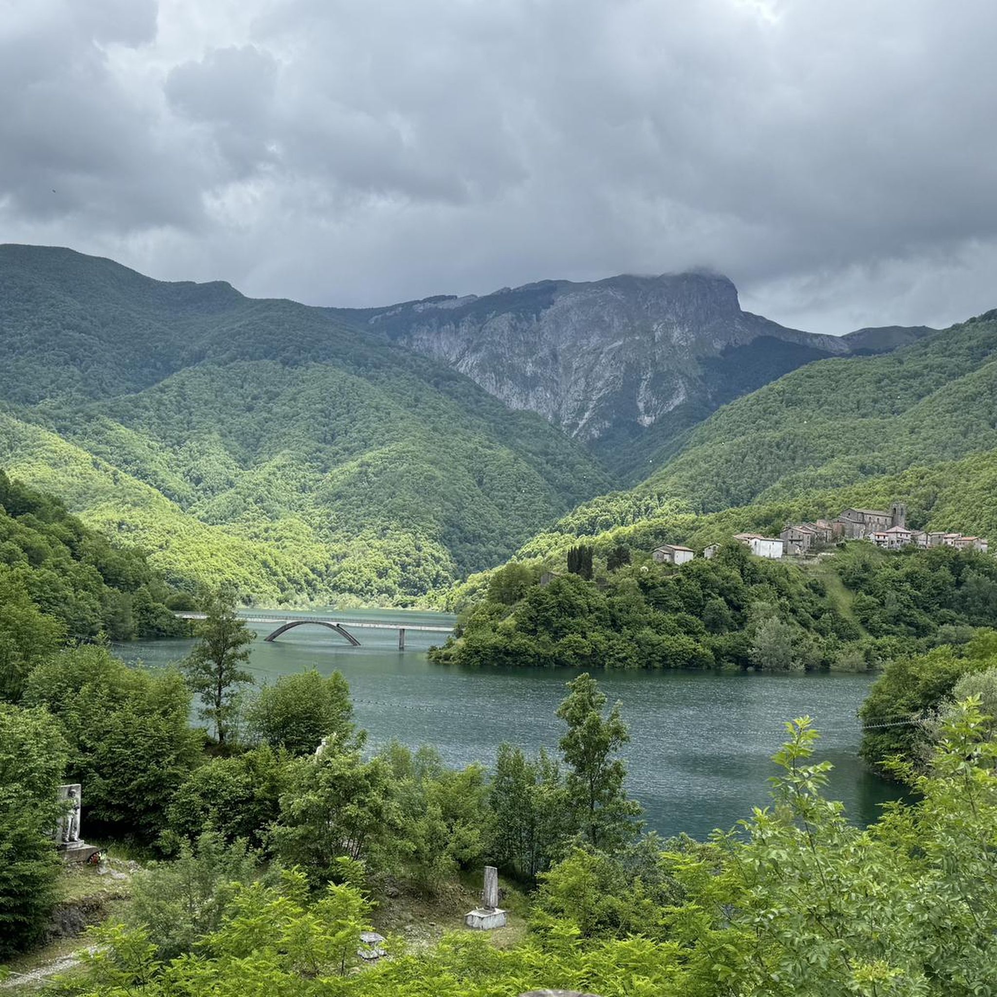
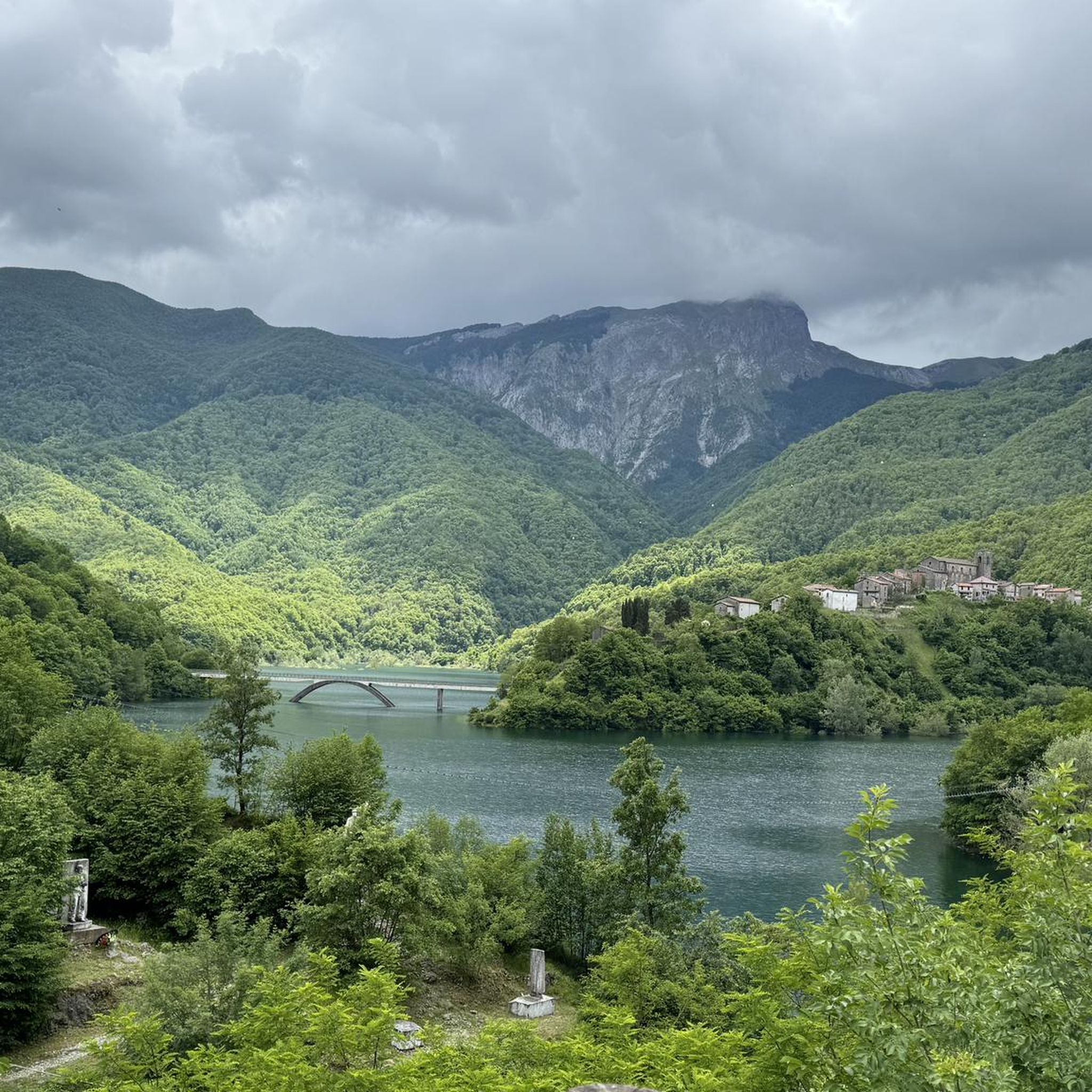
Beyond the mountains, Vagli Sotto is famous for Lake Vagli and the submerged village of Fabbriche di Careggine, which becomes visible when the lake is drained. For an adrenaline rush, VagliPark offers activities like a 132-meter long suspension bridge and the 'Volo dell'Angelo' zip-line over the lake.
How many mountaineering routes are there in total around Vagli Sotto?
There are over 20 mountaineering routes documented around Vagli Sotto, offering a variety of experiences for different skill levels, predominantly in the difficult category.
What kind of terrain should I expect on these mountaineering routes?
The terrain is rugged and diverse, characteristic of the Apuan Alps. You'll encounter dramatic marble peaks, karst formations, and steep ascents. Some routes also traverse lush forests and cross waterways, adding to the varied landscape.
Most popular routes around Vagli Sotto
Most popular attractions around Vagli Sotto

Get inspired with the komoot mobile app


Explore more
Browse the best Mountain Hikes & Routes in other regions.
