The best road cycling routes around Vagli Sotto
4.3
(144)
3,695
riders
74
rides
Road cycling around Vagli Sotto offers routes through the Garfagnana region of Tuscany, characterized by the Apuan Alps. The terrain features varying ascents and descents, with roads winding through mountainous landscapes and valleys. Cyclists encounter natural features such as artificial lakes and mountain passes, providing diverse riding conditions. The area's composition includes green peaks, dense woods, and waterways, making it suitable for road cycling.
Best road cycling routes around Vagli Sotto
- The most popular road cycling route is Tour of…
Last updated: July 7, 2026
5.0
(2)
155
riders
78.4km
04:46
2,090m
2,080m
Hard road ride. Very good fitness required. Some segments of this route may be unpaved and difficult to ride.
46
riders
107km
06:41
3,040m
3,030m
Hard road ride. Very good fitness required. Mostly well-paved surfaces and easy to ride.

Sign up for free
46
riders
50.9km
03:12
1,480m
1,480m
Hard road ride. Very good fitness required. Some segments of this route may be unpaved and difficult to ride.
33
riders
67.8km
04:12
1,880m
1,880m
Hard road ride. Very good fitness required. Some segments of this route may be unpaved and difficult to ride.
4.0
(6)
101
riders
41.5km
02:12
740m
740m
Moderate road ride. Good fitness required. Mostly well-paved surfaces and easy to ride.
Get access to more routes and recommendations from other explorers.
Sign up for free
Already have an account?
Our route recommendations are based on thousands of hikes, rides, and runs completed by other people on komoot.
Start today with a free account
Your next adventure awaits.
Login or Signup


Tips from the Community

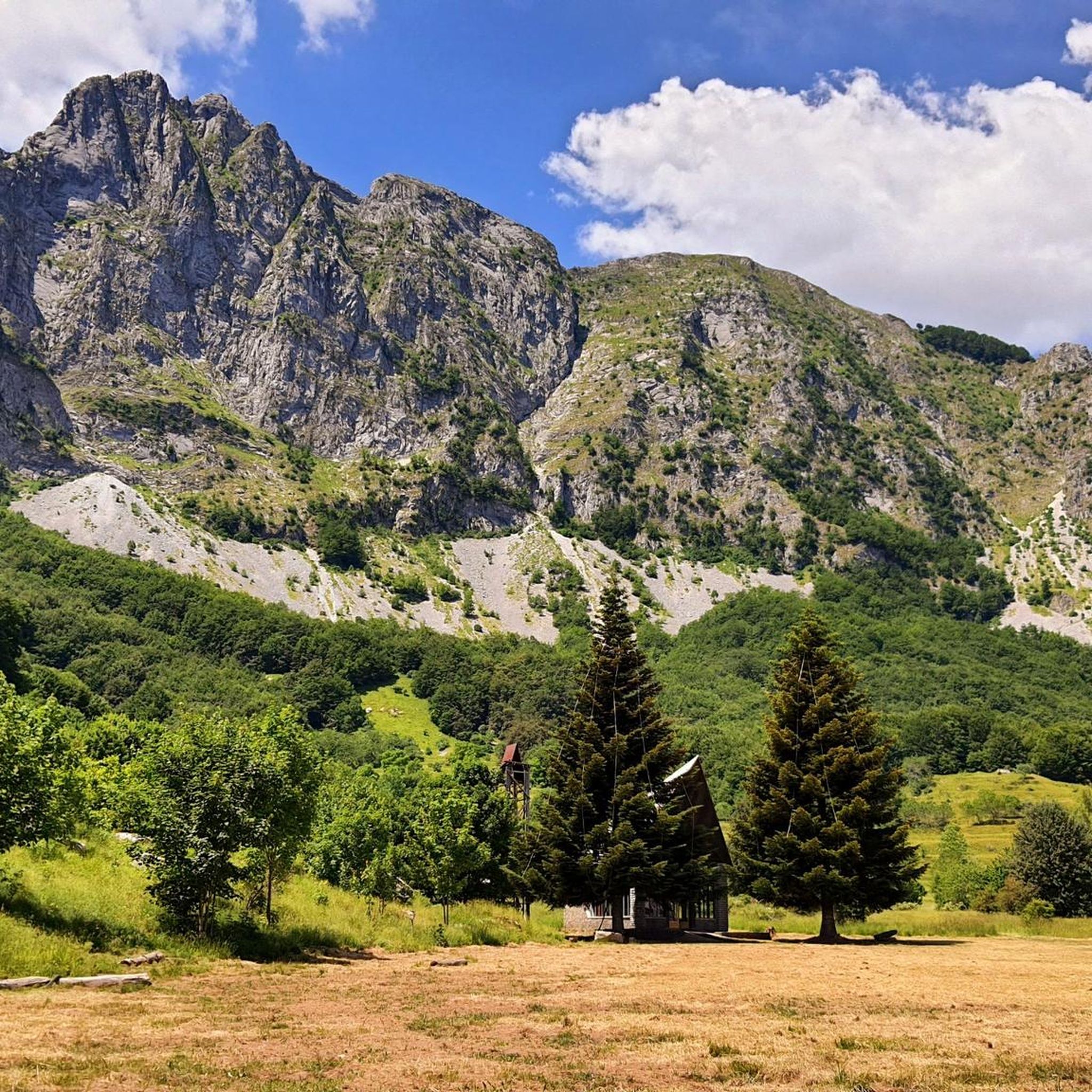
The Passo del Cerreto is an important pass in the Tuscan-Emilian Apennines, located at an altitude of 1,261 meters. It separates Tuscany from Emilia-Romagna, connecting the province of Massa-Carrara (municipality of Fivizzano) with that of Reggio Emilia (municipality of Ventasso). The pass is entirely crossed by the State Road 63 (SS 63).
0
0

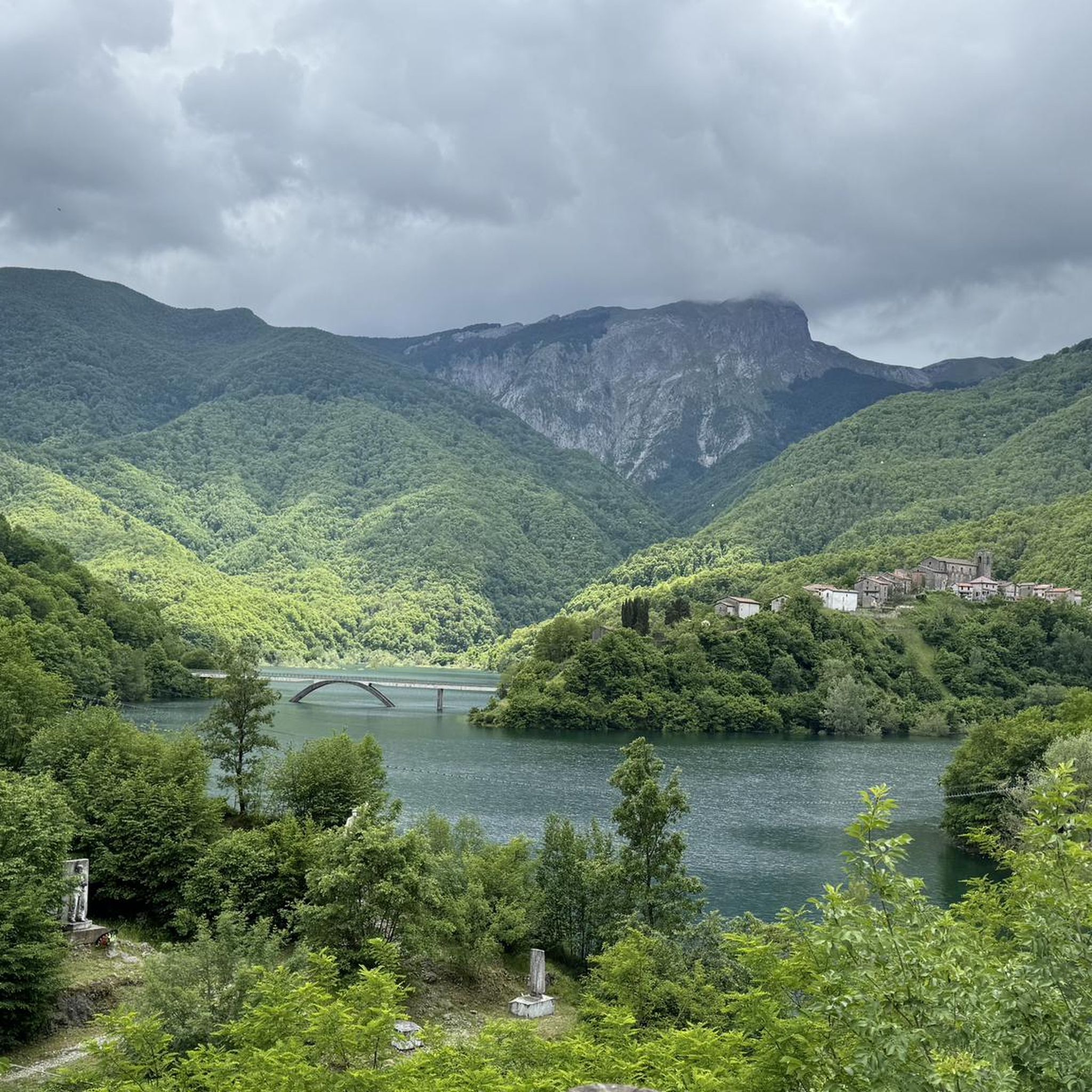
The lake of Gramolazzo is a lake in the Apuan Alps located near the homonymous village in the municipality of Minucciano. Of artificial origin, it was created in the second half of the 1900s, together with the lake of Vagli by SELT Valdarno for the hydroelectric use of the Serchio river and its tributaries. The lake, which has a surface area of one square kilometer and a volume of 3.8 million cubic meters, has both the Serchio di Gramolazzo as its inflow and outflow, one of the two branches that, joining near Piazza al Serchio, form the Tuscan river. Another important stream that flows into the lake is the Acqua Bianca stream, which coming from Mount Pisanino crosses the village of Gorfigliano. A large part of the water, however, is fed through a channel on the left bank, near the dam, which with a maximum flow rate of 20 cubic meters per second discharges the waters captured from the Serchio into the Sillano valley. The waters of the lake of Gramolazzo feed the Fabbriche power plant which in turn discharges them into the lake of Vagli.
0
0

There are no free parking spaces, the only parking lot belongs to the bar and is reserved for customers.
0
0

The place is cool and quiet during the week. Canoe rentals are available for lake excursions.
0
0


It can be reached both on asphalt and on a path. Always pleasant.
0
0

From Piazza al Serchio you climb for 20 km with an altitude gain of 1000 m with fairly constant gradients.
0
0
You have fully grasped the meaning of the octagon in the religious field. Great
0
0
Frequently Asked Questions
How many road cycling routes are available around Vagli Sotto?
There are over 75 road cycling routes around Vagli Sotto, offering a wide range of options for exploring the Garfagnana region. These routes are highly rated by the komoot community, with an average score of 4.3 stars from over 90 reviews.
What is the typical difficulty level for road cycling routes in Vagli Sotto?
Road cycling routes in Vagli Sotto are generally considered moderate to difficult. The region is characterized by the dramatic Apuan Alps, meaning many routes feature significant ascents and descents. Approximately 36 routes are rated moderate, while 43 are classified as difficult, often involving challenging climbs over mountain passes.
Are there any beginner-friendly road cycling routes in Vagli Sotto?
While Vagli Sotto is known for its challenging terrain, there are routes suitable for those with some cycling experience, though none are classified as 'easy'. The 36 moderate routes offer a good starting point for cyclists looking to build their skills in a mountainous environment. Always check the route's elevation profile and distance before setting out.
What kind of terrain can I expect on road cycling routes around Vagli Sotto?
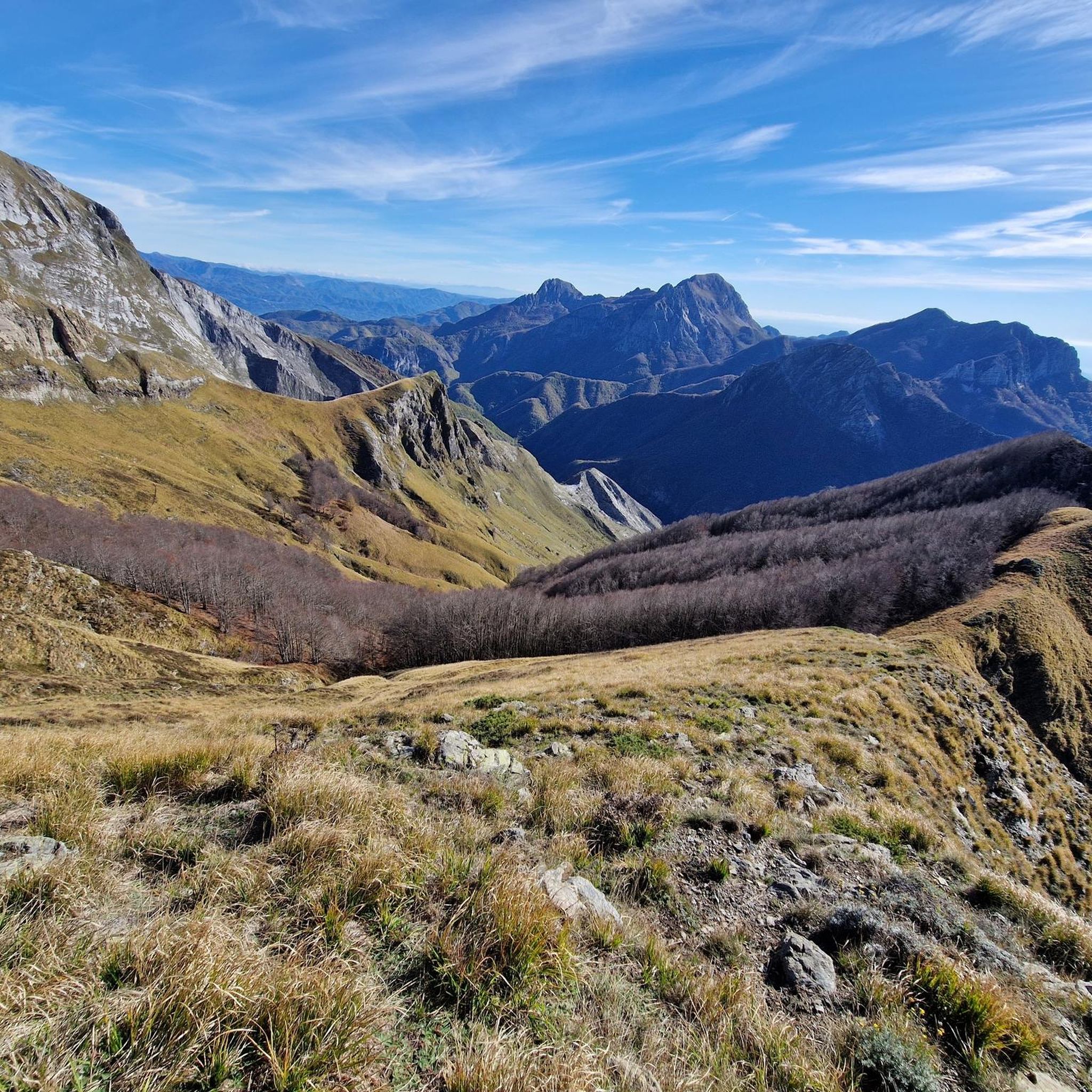
You can expect varied terrain, from winding roads through forested valleys to challenging climbs over mountain passes like Passo del Vestito and Tambura Pass. The routes often feature panoramic views of the Apuan Alps and include scenic stretches around artificial lakes such as Lago di Vagli and Lago di Gramolazzo.
What unique natural features can I see while road cycling in Vagli Sotto?
Road cycling routes in Vagli Sotto offer views of several unique natural features. You might encounter the striking turquoise waters of Lago di Vagli, known for the submerged 'ghost town' of Fabbriche di Careggine. The dramatic peaks of the Apuan Alps are a constant backdrop, and some routes offer glimpses of the distinctive Monte Forato Natural Arch. Mountain passes like Passo del Vestito and Tambura Pass also provide breathtaking scenery.
Are there any circular road cycling routes around Vagli Sotto?
Yes, many road cycling routes around Vagli Sotto are designed as loops. For example, the Garfagnana Lakes Loop is a 31.6-mile (50.9 km) trail that takes you through the region's lake district. Another option is the Lake Gramolazzo and Lake Vagli - loop from Gorfigliano, covering 67.8 km.
What is the best time of year for road cycling in Vagli Sotto?
The best time for road cycling in Vagli Sotto is generally from spring through autumn. During these seasons, the weather is more favorable, and the mountain passes are typically clear of snow. Summer offers warm temperatures, but spring and autumn provide milder conditions and vibrant natural scenery, making them ideal for longer rides.
Are there any historical sites or landmarks to explore near the cycling routes?
Absolutely. Beyond the natural beauty, the region offers historical insights. You can explore medieval streets in Vagli Sotto itself. The ghost town of Fabbriche di Careggine, submerged beneath Lago di Vagli, is a unique historical curiosity that periodically re-emerges. Nearby, you can also find various castles, such as Ariostesca Fortress and Rocca di Camporgiano, offering a glimpse into the area's past.
What amenities are available along road cycling routes in Vagli Sotto?
While specific amenities vary by route, the towns and villages along the routes, such as Vagli Sotto and Castelnuovo di Garfagnana, offer cafes, restaurants, and accommodation options. For example, the Nello Conti Hut is a known spot for hikers and cyclists to find refreshments and community.
Is there public transport available to access road cycling routes in Vagli Sotto?
Public transport options in the mountainous Garfagnana region can be limited. While local bus services connect some towns, they may not always be convenient for accessing specific starting points for road cycling routes, especially those in more remote areas. It's advisable to check local schedules in advance or consider driving to a suitable parking spot.
Where can I find parking for road cycling in Vagli Sotto?
Parking is generally available in the main villages and towns around Vagli Sotto, such as Vagli Sotto itself or Castelnuovo di Garfagnana. Look for designated parking areas, especially near popular attractions or trailheads. It's always a good idea to arrive early, especially during peak season, to secure a spot.
Are there any family-friendly activities or attractions near the road cycling routes?
Yes, Vagli Sotto offers family-friendly attractions, particularly around Lago di Vagli. VagliPark features activities like the Lake Vagli Biopark, a long walk along the lake's shores, and a suspended pedestrian/cycle bridge. For adrenaline seekers, the 'Volo dell'Angelo' (Angel's Flight) Zipline over the lake is also available.
What do other road cyclists enjoy most about road cycling in Vagli Sotto?
The komoot community highly rates road cycling in Vagli Sotto, with an average score of 4.3 stars. Cyclists frequently praise the dramatic mountain passes, the stunning views of the Apuan Alps, and the unique experience of riding around the artificial lakes. The varied terrain and challenging climbs are often highlighted as rewarding aspects of the region's routes.
Most popular routes around Vagli Sotto
Most popular attractions around Vagli Sotto

Get inspired with the komoot mobile app


Explore more
Browse the best Road cycling routes in other regions.
