The best cycling routes around Arcola
4.1
(1086)
10,805
riders
16
rides
Touring cycling around Arcola, Italy, features diverse landscapes ranging from coastal views to inland valleys. The region is characterized by Mediterranean vegetation, including olive groves and vineyards, alongside historic towns and castles. Routes often incorporate both paved surfaces and unpaved segments, with significant elevation changes in many areas. Proximity to water bodies like the Sarca River and views towards Lake Garda add to the varied terrain.
Best touring cycling routes around Arcola
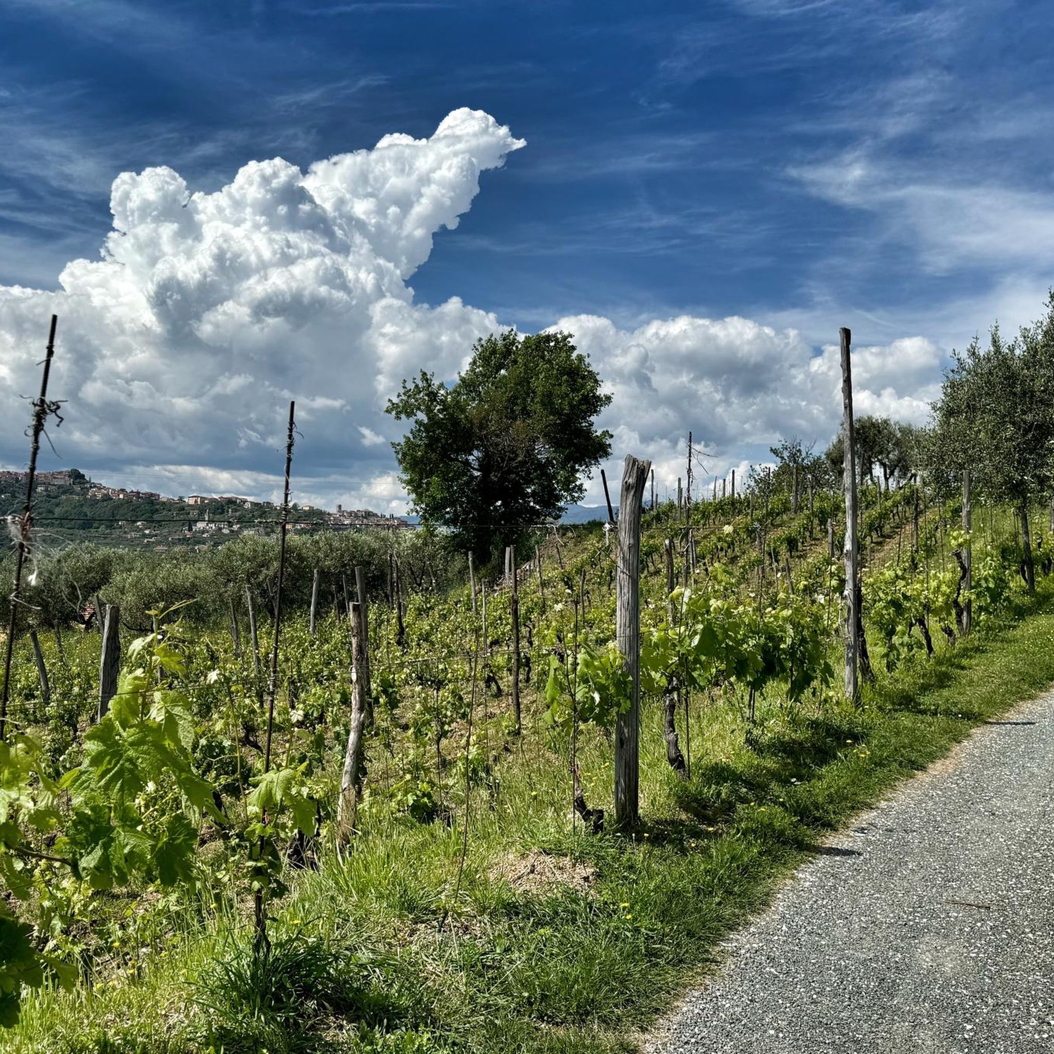
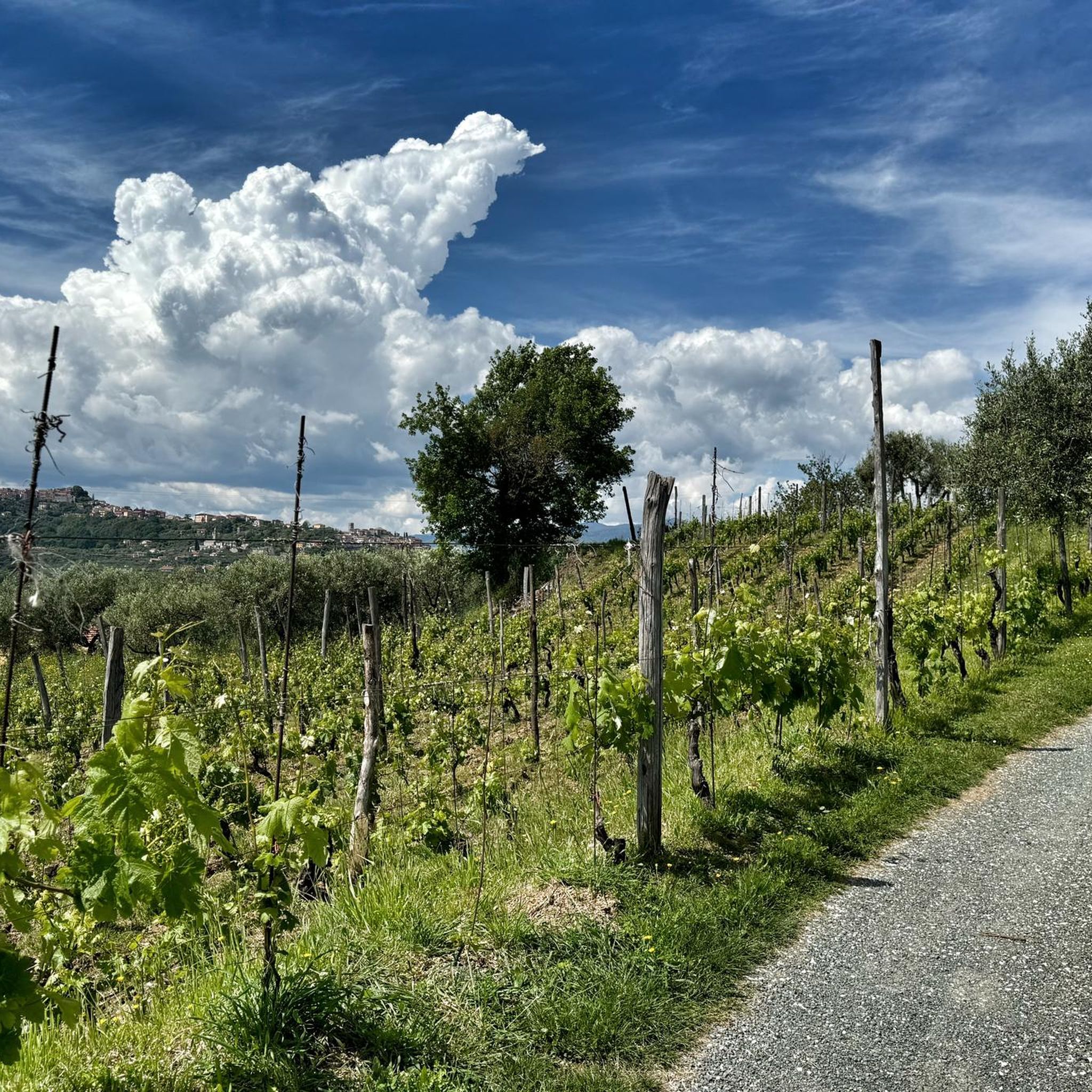
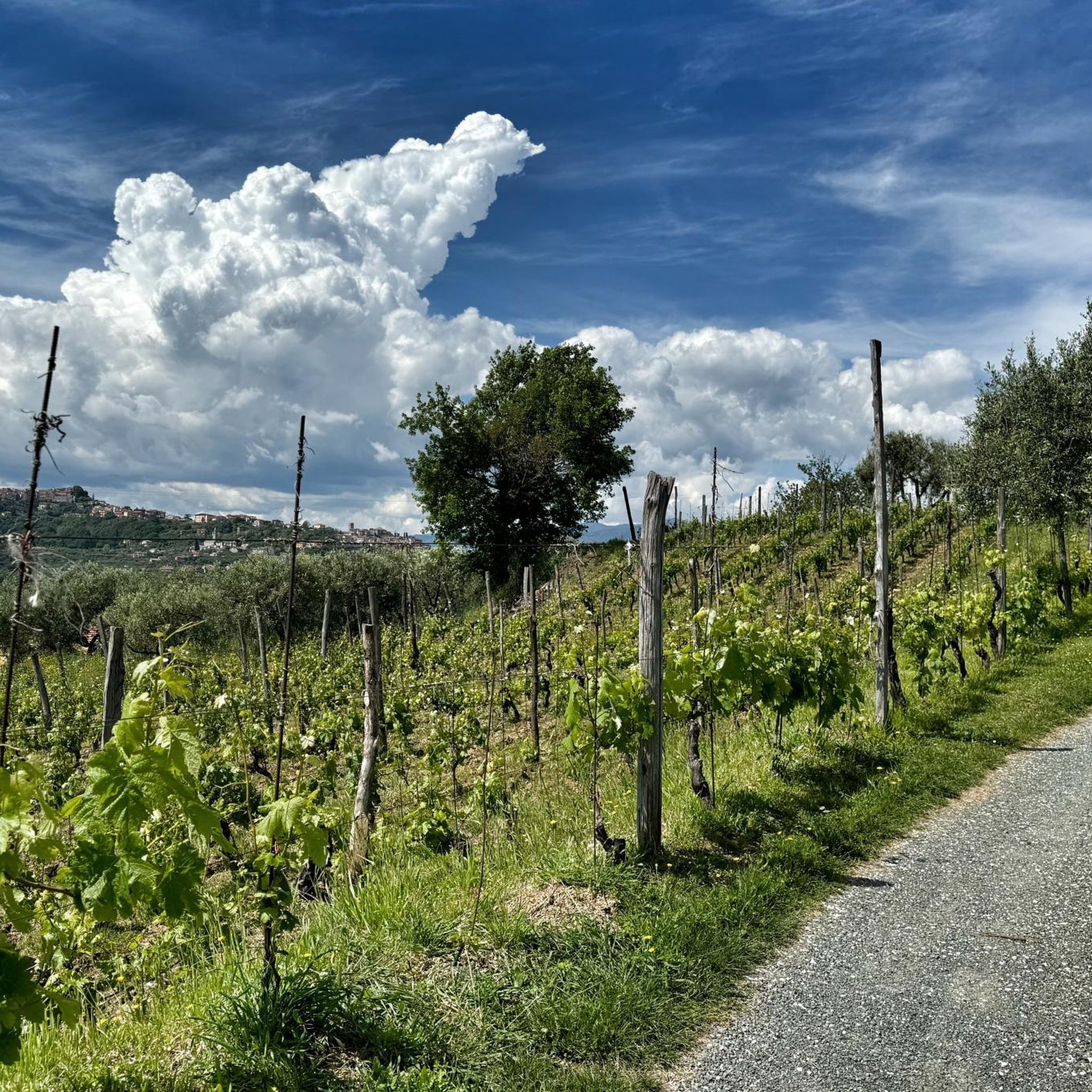
- The most popular touring cycling route is Belvedere…
Last updated: October 30, 2026
3.9
(105)
631
riders
56.8km
03:56
1,030m
1,030m
Hard bike ride. Very good fitness required. Mostly paved surfaces.
4.0
(2)
63
riders
51.3km
03:27
690m
690m
Hard bike ride. Very good fitness required. Mostly paved surfaces.

5.0
(5)
52
riders
106km
07:14
1,760m
1,760m
Hard bike ride. Very good fitness required. Mostly paved surfaces.
4.5
(2)
35
riders
86.9km
05:42
1,010m
1,010m
Hard bike ride. Very good fitness required. Mostly paved surfaces.
34
riders
54.9km
03:46
880m
880m
Hard bike ride. Very good fitness required. Mostly paved surfaces.
Get access to more routes and recommendations from other explorers.
Already have an account?
Our route recommendations are based on thousands of hikes, rides, and runs completed by other people on komoot.
Start today with a free account
Your next adventure awaits.
Tips from the Community

Very nice view in the morning
0
0

The city is located at the extreme east of the Liguria region, a few kilometers from the border with Tuscany, in the center of a deep natural gulf to which it gives its name. The gulf, also known as the Gulf of Poets for its beauty, is encircled by a continuous chain of heights whose highest peaks, Monte Verrugoli (749 m above sea level), Monte Parodi (673 m above sea level), Monte Santa Croce (543 m above sea level), and Monte Viseggi (347 m above sea level), located on the western side of the inhabited center, overlook the city of La Spezia. The municipal territory of Spezia is part of the interregional Magra river basin authority, while a small portion of the municipal territory, consisting of the small village of Tramonti and the surrounding hill, falls within the Cinque Terre National Park.
0
0
The Canale Lunense cycle-path is a flat route of about 12-20 km that runs along the banks of the irrigation canal in the Magra Valley, in Liguria. The Route Municipalities crossed: Connects Santo Stefano di Magra, Sarzana, Castelnuovo Magra and Luni, arriving at the archaeological area. Characteristics: The ground is predominantly flat and suitable for walks or bike rides (mountain bike or hybrid bikes recommended for some sections).
0
0
The Canale Lunense cycle-pedestrian path is a flat route of about 12-20 km that runs along the banks of the irrigation canal in the Magra Valley, in Liguria. It connects Santo Stefano di Magra, Sarzana, Castelnuovo Magra and Luni, reaching the archaeological area. The surface is predominantly flat and suitable for walks or bike rides (mountain bike or hybrid bike recommended for some sections).
0
0
The new cycle-pedestrian path in Aulla is built on the route of the former Pontremolese railway, of which a first section of 665 meters has been inaugurated (part of an overall route of over 1.2 km). Path characteristics Route: Built in place of the old wall of the disused railway. Dimensions: 3.50 meters wide, with a double cycle lane and a dedicated pedestrian walkway. Lighting: Fully lit for the entire inaugurated section. Connections: It integrates into the green routes of Lunigiana and into the sections near the Via Francigena cycle path and the Greenway of the River Magra. You can find maps and detailed tracks of the surroundings on the guide to cycle paths in Aulla on Komoot.
0
0
Aulla's new cycle-pedestrian track is built on the route of the former Pontremolese railway, of which a first section of 665 meters has been inaugurated (part of an overall route of over 1.2 km). Route characteristics Route: Built in place of the old wall of the disused railway. Dimensions: 3.50 meters wide, with a double cycle lane and a dedicated pedestrian path. Lighting: Fully lit for the entire inaugurated section. Connections: It integrates into the green routes of Lunigiana and into sections near the Via Francigena cycle route and the Greenway of the River Magra. You can find detailed maps and tracks of the surroundings on the guide to cycle routes in Aulla on Komoot.
0
0
The new cycle-pedestrian track of Aulla is built on the route of the former Pontremolese railway, of which a first section of 665 meters has been inaugurated (part of an overall route of over 1.2 km). Route characteristics Route: Built on the site of the old wall of the disused railway. Dimensions: 3.50 meters wide, with a double cycle lane and a dedicated pedestrian path. Lighting: Fully illuminated for the entire inaugurated section. Connections: It connects to the green routes of Lunigiana and to the sections near the Via Francigena cycle path and the Greenway of the River Magra. You can find maps and detailed tracks of the surroundings on the Aulla cycle path guide on Komoot.
0
0
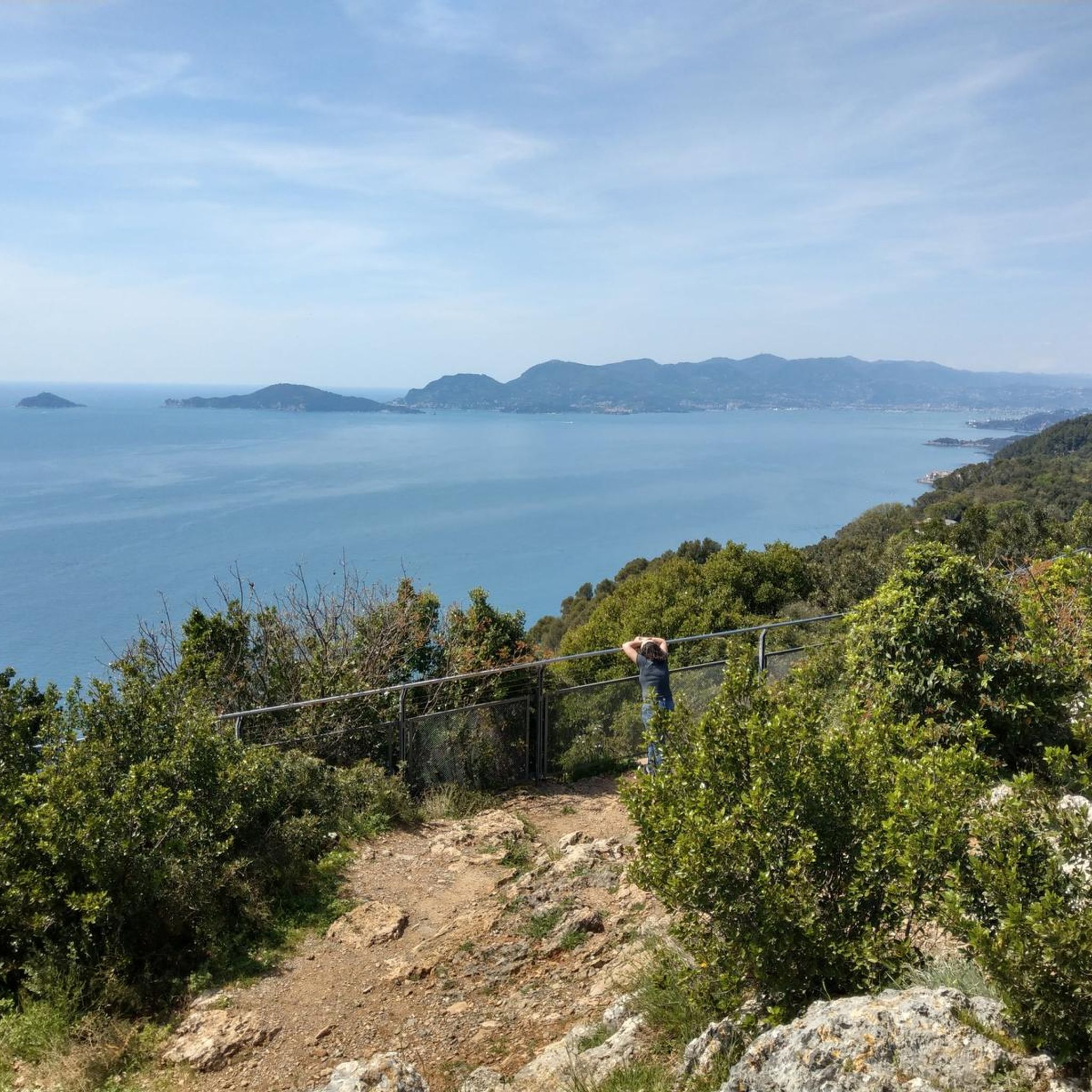
The "Bellissima vista sulla Cala di Montenero" is a famous viewpoint located along the coast of Cinque Terre, near Riomaggiorei
1
0
Frequently Asked Questions
How many touring cycling routes are available around Arcola?
There are 11 touring cycling routes around Arcola, offering a variety of experiences for different skill levels. You'll find 1 easy route, 2 moderate routes, and 8 difficult routes to explore.
Are there any easy touring cycling routes suitable for beginners or families in Arcola?
Yes, Arcola offers an easy touring cycling route. The region also features routes like the Lunense Canal Cycle Path, which is generally suitable for various fitness levels and offers a pleasant ride of up to two hours. While the guide data lists one easy route, many paths in the broader region, such as the Valle dei Laghi cycle path near Lake Garda, are known for being easy to moderate and family-friendly.
What kind of landscapes can I expect to see while touring cycling around Arcola?
Touring cycling around Arcola offers incredibly diverse landscapes. You'll encounter Mediterranean vegetation, including olive groves and vineyards, alongside historic towns and castles. Routes often provide coastal views, views towards Lake Garda, and follow water bodies like the Sarca River. Unique geological features, such as the 'Marocche di Dro' with its lunar-like landscape, also add to the scenic variety.
Are there any circular touring cycling routes in Arcola?
Yes, many of the touring cycling routes around Arcola are designed as loops. For example, you can enjoy the Belvedere di Montemarcello – Ameglia Historic Centre loop from Arcola, which offers panoramic viewpoints and passes through historic centers. Another option is the View of Marina di Carrara – La Serra loop from Arcola, providing extensive coastal views.
What are some notable attractions or landmarks I can explore along the touring cycling routes?
The Arcola region is rich in attractions. You can cycle past historic towns like Ameglia and enjoy views of ancient castles such as Castel Drena and Arco Castle. The routes also offer panoramic viewpoints like the Panoramic view over Porto Venere and the Ligurian Coast and the View of Porto Venere and the island of Palmaria from Forte del Muzzerone. Other highlights include the charming Porto Venere Old Town and the Tellaro Village.
What is the average difficulty level of touring cycling routes in Arcola?
The touring cycling routes around Arcola tend towards the more challenging side, with 8 out of 11 routes rated as difficult. These often involve significant climbs and can last over five hours. However, there are also 2 moderate and 1 easy route available for those seeking less strenuous rides.
What do other touring cyclists say about the routes in Arcola?
The touring cycling routes in Arcola are highly regarded by the komoot community, with an average rating of 4.2 stars from over 100 reviews. Nearly 1,000 touring cyclists have explored the varied terrain, often praising the diverse landscapes, historic towns, and challenging yet rewarding climbs.
Are there any touring cycling routes that offer views of the sea or coast?
Absolutely. Several routes provide stunning coastal and sea views. The View of Marina di Carrara – La Serra loop from Arcola is specifically known for its extensive views of Marina di Carrara and the surrounding coastal landscape. You'll also find routes with panoramic views over the Ligurian Coast.
Can I find routes that pass through historic centers or offer cultural sights?
Yes, the region is rich in history and culture. Routes like the Belvedere di Montemarcello – Ameglia Historic Centre loop from Arcola will take you through charming historic centers. The broader area also features medieval castles and picturesque towns like Arco and Dro, offering a blend of natural beauty and cultural exploration.
What is the longest touring cycling route available from Arcola?
The longest touring cycling route listed from Arcola is the Passo del Cerreto – View of Passo del Cerreto loop from Arcola. This challenging route covers a distance of 67.3 miles (108.3 km) and involves significant elevation gain, typically taking around 7 hours 30 minutes to complete.
Are there any routes that follow canals or rivers?
Yes, you can find routes that incorporate water features. The Cycle path to Aulla – Lunense Canal Cycle Path loop from Arcola leads through the Lunense Canal area, offering a pleasant ride along the water. Additionally, the Valle dei Laghi cycle path, starting near Lake Garda, follows the Sarca River, providing picturesque views.
Most popular attractions around Arcola

Get inspired with the komoot mobile app


Explore more
Browse the best Cycling routes in other regions.
