The best walks and hikes around Castellina Marittima
4.3
(1024)
4,129
hikers
12
hikes
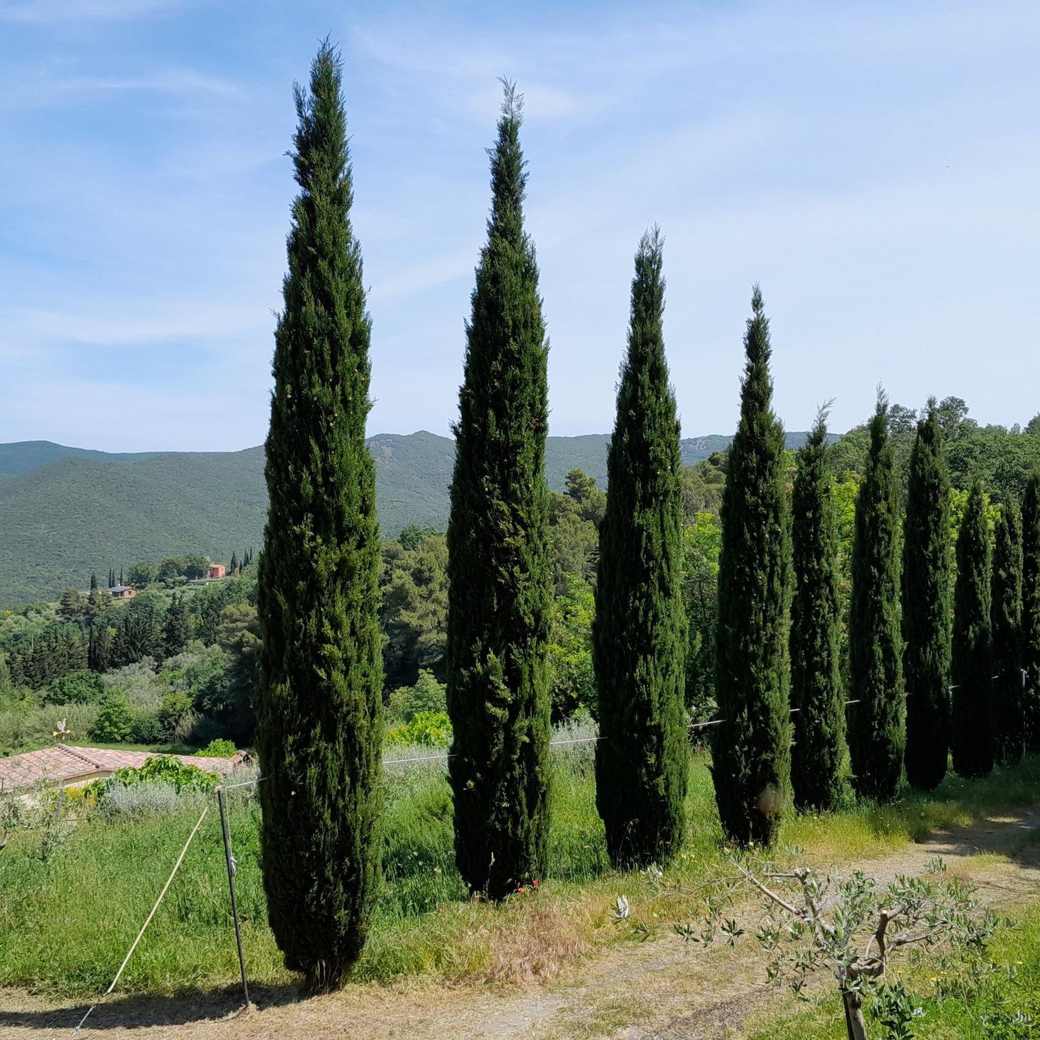
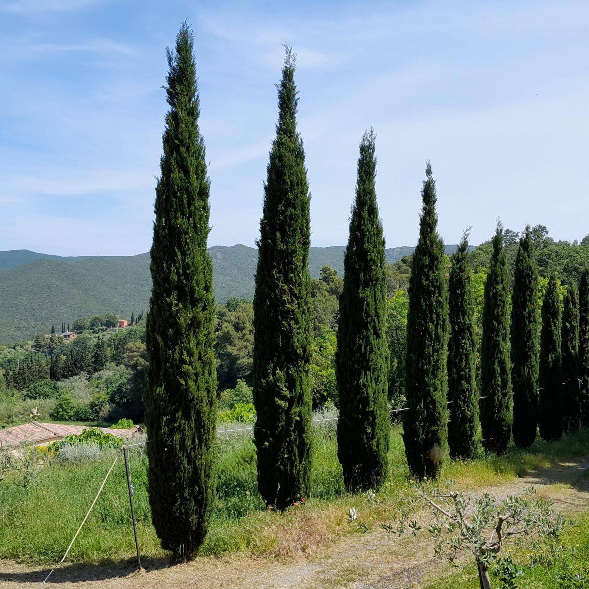
Hiking around Castellina Marittima offers a network of trails through the rolling hills and woodlands of the Tuscan landscape. The region is characterized by its elevated positions, providing numerous viewpoints over the surrounding countryside. Many routes are circular walks, allowing for varied exploration of the local terrain.
Best hiking trails around Castellina Marittima
- The most popular hiking route is View of Pietragosta – View of Gabriggioli loop from Castellina Marittima, a 3.6 miles (5.9 km) trail that takes 1 hour 46 minutes to complete. This easy route offers panoramic views of the area.
- Another top favourite among local hikers is View of Gabriggioli – View of Pietragosta loop from Castellina Marittima, an easy 3.3 miles (5.3 km) path. This trail also features scenic viewpoints and woodland sections.
- Local hikers also love the Poggio Pianacce – View of Pietragosta loop from Castellina Marittima, a 6.0 miles (9.6 km) trail leading through varied terrain including hills and forests, often completed in about 2 hours 58 minutes.
- Hiking around Castellina Marittima is defined by its rolling hills, dense woodlands, and numerous viewpoints. The extensive network of hiking trails offers options for easy hikes near Castellina Marittima as well as more moderate routes, catering to different ability levels.
- The routes in Castellina Marittima are highly rated by the komoot community with an average score of 4.4 stars from nearly 1000 reviews. More than 4000 hikers have used komoot to explore Castellina Marittima's varied terrain.
Last updated: May 27, 2026
4.7
(12)
37
hikers
5.85km
01:46
180m
180m
Easy hike. Great for any fitness level. Easily-accessible paths. Suitable for all skill levels.
4.6
(11)
33
hikers
5.29km
01:35
170m
180m
Easy hike. Great for any fitness level. Easily-accessible paths. Suitable for all skill levels.

Sign up for free
4.6
(36)
99
hikers
9.60km
02:58
340m
340m
Moderate hike. Good fitness required. Mostly accessible paths. Sure-footedness required.
5.0
(1)
3
hikers
6.34km
01:48
140m
140m
Easy hike. Great for any fitness level. Easily-accessible paths. Suitable for all skill levels.
5.0
(2)
4
hikers
3.99km
01:06
70m
70m
Easy hike. Great for any fitness level. Easily-accessible paths. Suitable for all skill levels.
Get access to more routes and recommendations from other explorers.
Sign up for free
Already have an account?
Our route recommendations are based on thousands of hikes, rides, and runs completed by other people on komoot.
Start today with a free account
Your next adventure awaits.
Login or Signup

Tips from the Community

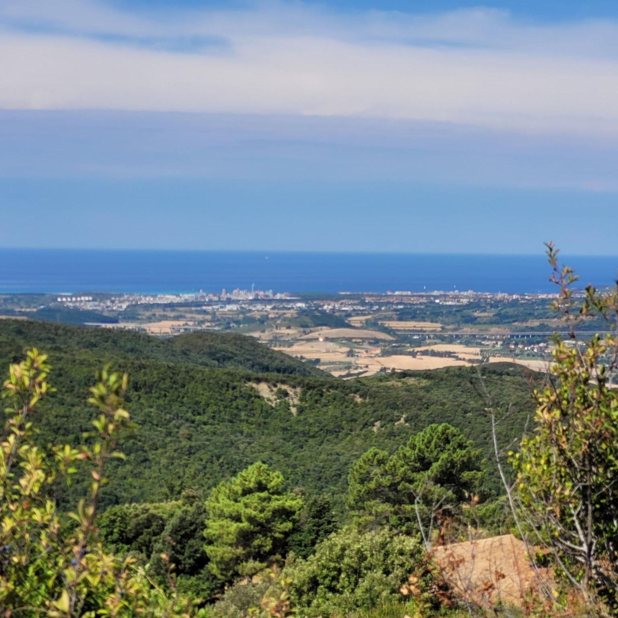
The bench with a panoramic view in Castellina Marittima is the Big Bench #206 (Giant Bench). Yellow and blue in color, it is located in Località Vetrice, immersed in the "Percorsi Verdi" (Green Paths) of the Mediterranean scrub. It offers a breathtaking view that spans much of the Tuscan landscape, the Val di Cornia, and, on clearer days, up to the Apuan Alps and the Gulf of Baratti.
0
0
The bench with a panoramic view in Castellina Marittima is the Big Bench #206 (Giant Bench). Yellow and blue in color, it is located in Località Vetrice, immersed in the "Green Paths" of the Mediterranean scrub. It offers a breathtaking view that spans much of the Tuscan landscape, the Val di Cornia, and, on clearer days, up to the Apuan Alps and the Gulf of Baratti.
0
0

What to say ... beautiful places and dirt roads suitable for everyone
0
0
Truly stunning views and dirt roads suitable for everyone.
0
0
Beautiful dirt roads and truly splendid views.
0
0

Beautiful view
0
0

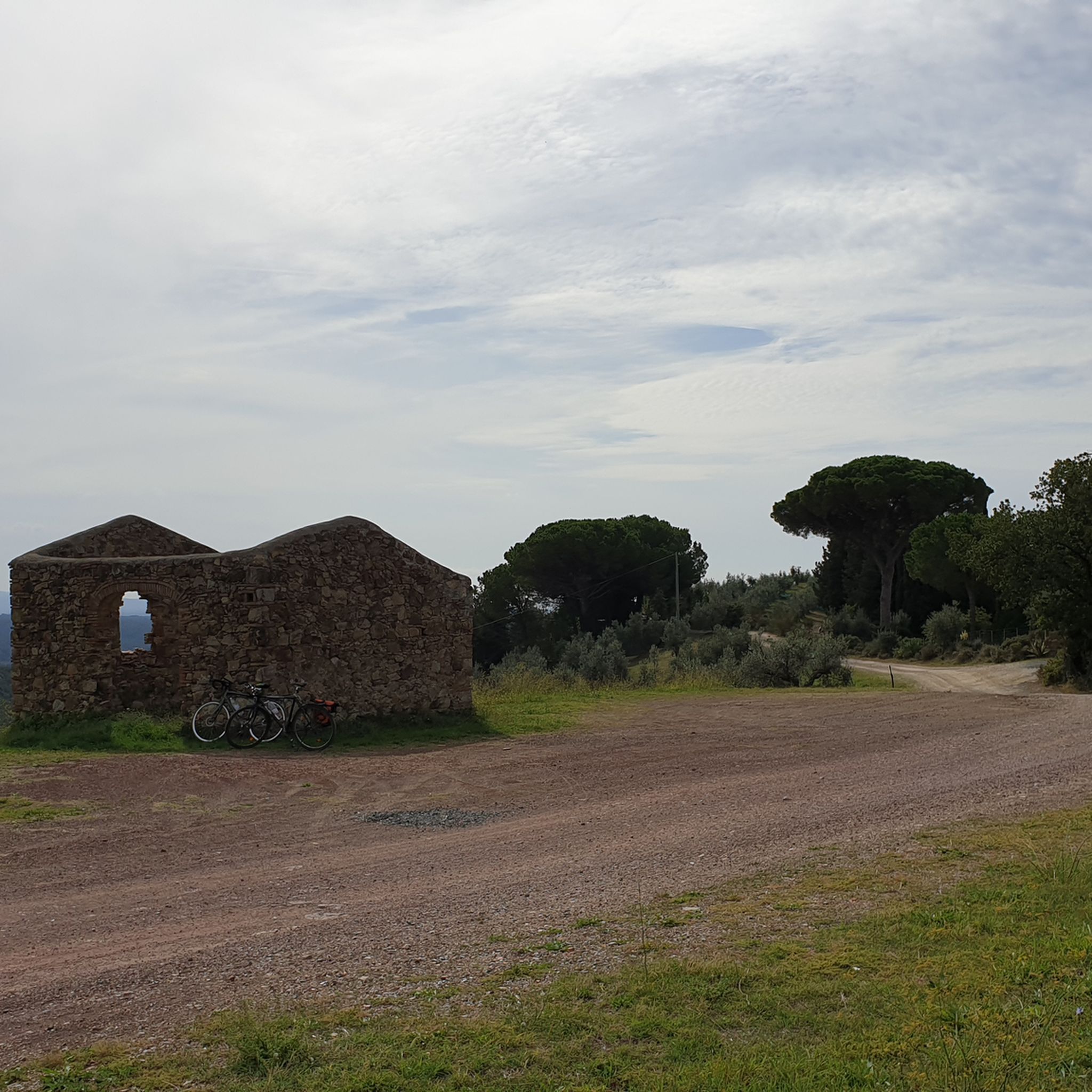
Nice walk, not too demanding and with many places to stop and rest
2
0

The second highest point of the Pisan Hills, Poggio Pianacce (661 metres above sea level) is located near the village of Castellina and from its slopes several streams, typically called botri, originate.
2
0
Frequently Asked Questions
How many hiking trails are available around Castellina Marittima?
Castellina Marittima offers a wide selection of hiking opportunities, with over 200 routes available. These trails cater to various skill levels, including easy, moderate, and some more challenging options.
Are there many easy hiking trails suitable for beginners in Castellina Marittima?
Yes, Castellina Marittima is an excellent destination for beginners and those looking for easier walks. Over 100 of the available routes are classified as easy, providing gentle paths through the scenic Tuscan landscape. An example is the View of Gabriggioli – View of Pietragosta loop from Castellina Marittima, an easy 3.3-mile (5.3 km) path with scenic viewpoints.
What is the typical duration of hikes in Castellina Marittima?
Hikes in Castellina Marittima vary in length and duration. Many popular routes, like the View of Pietragosta – View of Gabriggioli loop from Castellina Marittima, can be completed in under 2 hours. Longer, moderate trails such as the Poggio Pianacce – View of Pietragosta loop from Castellina Marittima might take around 3 hours, while some extended routes can last 4-5 hours or more.
Are there any family-friendly hiking options in the area?
Absolutely. The abundance of easy and moderate trails makes Castellina Marittima suitable for families. Many routes are circular and pass through woodlands and rolling hills, offering pleasant walks for all ages. Look for trails with shorter distances and minimal elevation gain for younger children.
Can I find circular walks around Castellina Marittima?
Yes, circular walks are a prominent feature of hiking in Castellina Marittima. Many routes are designed as loops, allowing you to start and end at the same point without retracing your steps. This is ideal for exploring diverse sections of the landscape. The Concrete bridge with culverts – Fonte Alta loop from Carabinieri is a moderate 8.1-mile (13 km) circular route.
Are there any hikes with good viewpoints in Castellina Marittima?
The region's elevated position ensures numerous viewpoints along its trails. Many routes, including the popular loops like the View of Pietragosta – View of Gabriggioli loop from Castellina Marittima, are specifically known for offering panoramic vistas of the surrounding Tuscan countryside and coastline.
What kind of natural attractions can I see near the hiking trails?
Beyond the scenic hills and woodlands, you can explore several natural attractions. The area features beautiful lakes such as Lake Santa Luce, which is also part of a nature reserve. You might also encounter unique natural monuments like the Fonte dell'Aldente or the intriguing Yellow Caves.
What do other hikers enjoy most about hiking in Castellina Marittima?
The area is highly rated by the komoot community, with an average score of 4.4 stars from nearly 1000 reviews. Reviewers often praise the diverse terrain, the quiet woodlands, and the numerous panoramic viewpoints that offer stunning vistas of the Tuscan landscape.
Is Castellina Marittima a good place for winter hiking?
While Tuscany generally experiences mild winters, it's always advisable to check local weather conditions. Many trails remain accessible, but some higher or more exposed sections might be colder or potentially muddy after rain. The rolling hills typically don't experience heavy snow, making it possible to hike year-round, though shorter daylight hours should be considered.
Are there any hikes that lead to or near beaches?
Castellina Marittima is located inland but is relatively close to the Tuscan coast. While most hiking trails focus on the inland hills and woodlands, some longer routes might bring you closer to coastal areas or offer distant views of the sea. For direct beach access, you would typically need to drive a short distance from the hiking areas.
Are there any specific trails that are less crowded or considered 'hidden gems'?
With over 200 trails, there are many opportunities to discover quieter paths away from the most popular routes. Exploring some of the moderate or slightly longer trails, such as the Lake Santa Luce – Lake Santa Luce loop from Pomaia, which is a 11.2-mile (18 km) route, can often lead to a more secluded experience and a chance to enjoy the natural beauty in peace.
Most popular routes around Castellina Marittima
Most popular attractions around Castellina Marittima

Get inspired with the komoot mobile app


Explore more
Browse the best Hikes in other regions.
