The best walks and hikes around Barete
4.2
(404)
1,759
hikers
91
hikes
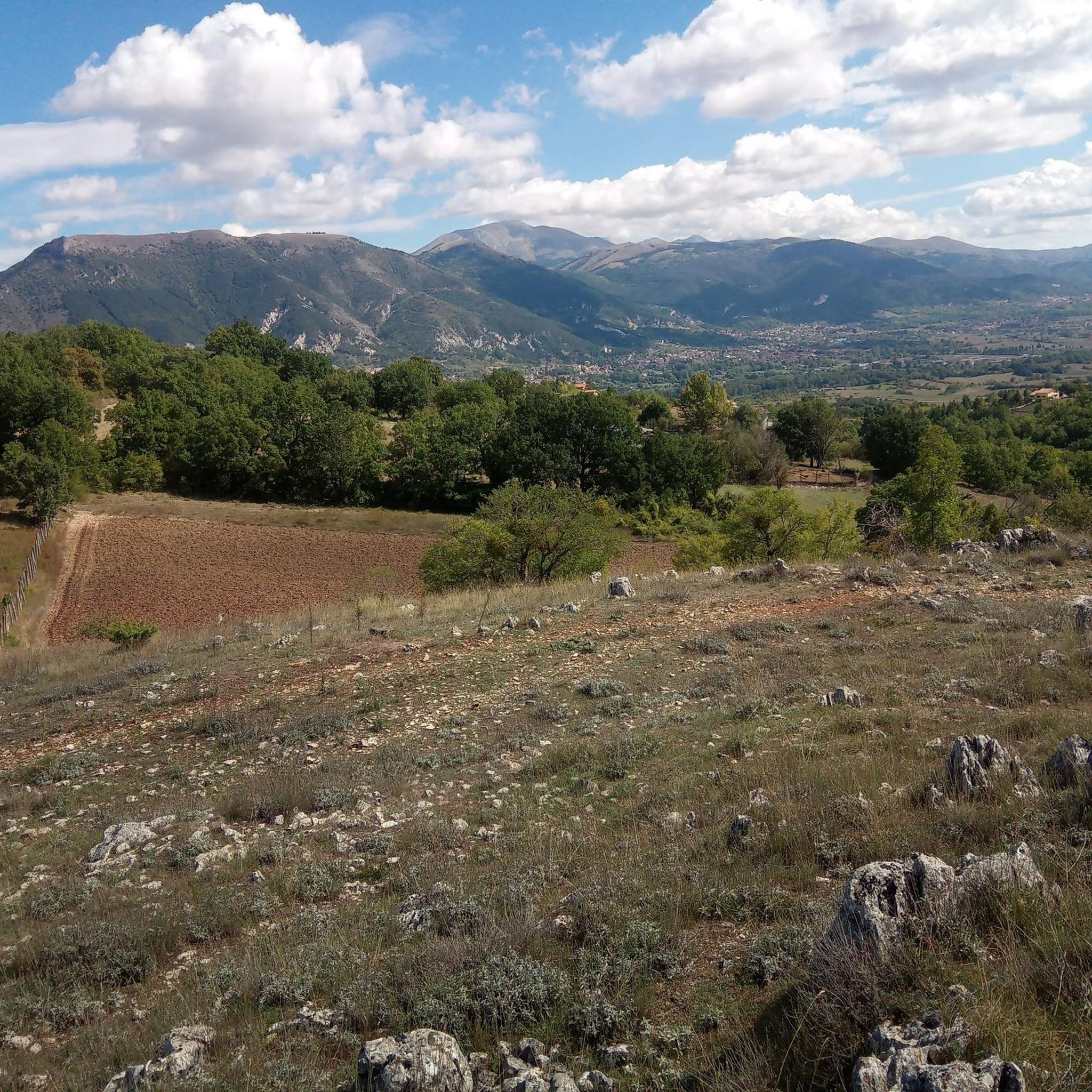
Hiking around Barete offers access to diverse landscapes at the edge of the Gran Sasso and Monti della Laga Park. The region features mountainous terrain, including parts of the Gran Sasso and Monti della Laga ranges, alongside rolling hills and country lanes. Hikers can find routes with views of Lago di Campotosto and trails originating from the scenic Valico delle Capannelle. This area provides a variety of elevations and natural features for outdoor exploration.
Best hiking trails around Barete
- The…
Last updated: October 22, 2026
4.9
(7)
56
hikers
Hard hike. Very good fitness required. Mostly walkable paths. Sure-footedness required.
4.3
(4)
24
hikers
12.2km
03:47
450m
450m
Moderate hike. Good fitness required. Easily walkable paths.

3.0
(1)
10
hikers
12.4km
04:37
730m
730m
Moderate hike. Good fitness required. Mostly walkable paths. Sure-footedness required.
4.5
(10)
66
hikers
Moderate hike. Good fitness required. Mostly walkable paths. Sure-footedness required.
4.0
(2)
14
hikers
6.71km
03:18
650m
650m
Moderate hike. Good fitness required. Mostly walkable paths. Sure-footedness required.
Get access to more routes and recommendations from other explorers.
Already have an account?
Our route recommendations are based on thousands of hikes, rides, and runs completed by other people on komoot.
Start today with a free account
Your next adventure awaits.

Tips from the Community

Refuge closed, not accessible (July 8, 2026)
0
0
Refuge closed, not accessible (July 8, 2026).
0
0

Pizzoli is a picturesque town nestled in the upper Aterno Valley, harmoniously nestled between the hills of L'Aquila and the slopes of the Gran Sasso and Monti della Laga National Park. Dominated by the imposing silhouette of Dragonetti de Torres Castle, which towers over the town with its Renaissance elegance, the village offers a charming mix of historic alleys and noble architecture, surrounded by lush nature.
0
0
The Spufa Refuge is a small, rustic mountain outpost located in the heart of the Peligna Valley, on the slopes of the Morrone massif and a short distance from the village of Bagnaturo. Nestled in a clearing surrounded by thick woods, it is a key stopping point for those hiking the trails to the highest peaks, offering essential shelter and an enchanting view that encompasses the entire valley below in an atmosphere of profound mountain tranquility.
1
0

Beautiful ridge, very panoramic and almost completely free of difficulties
0
0


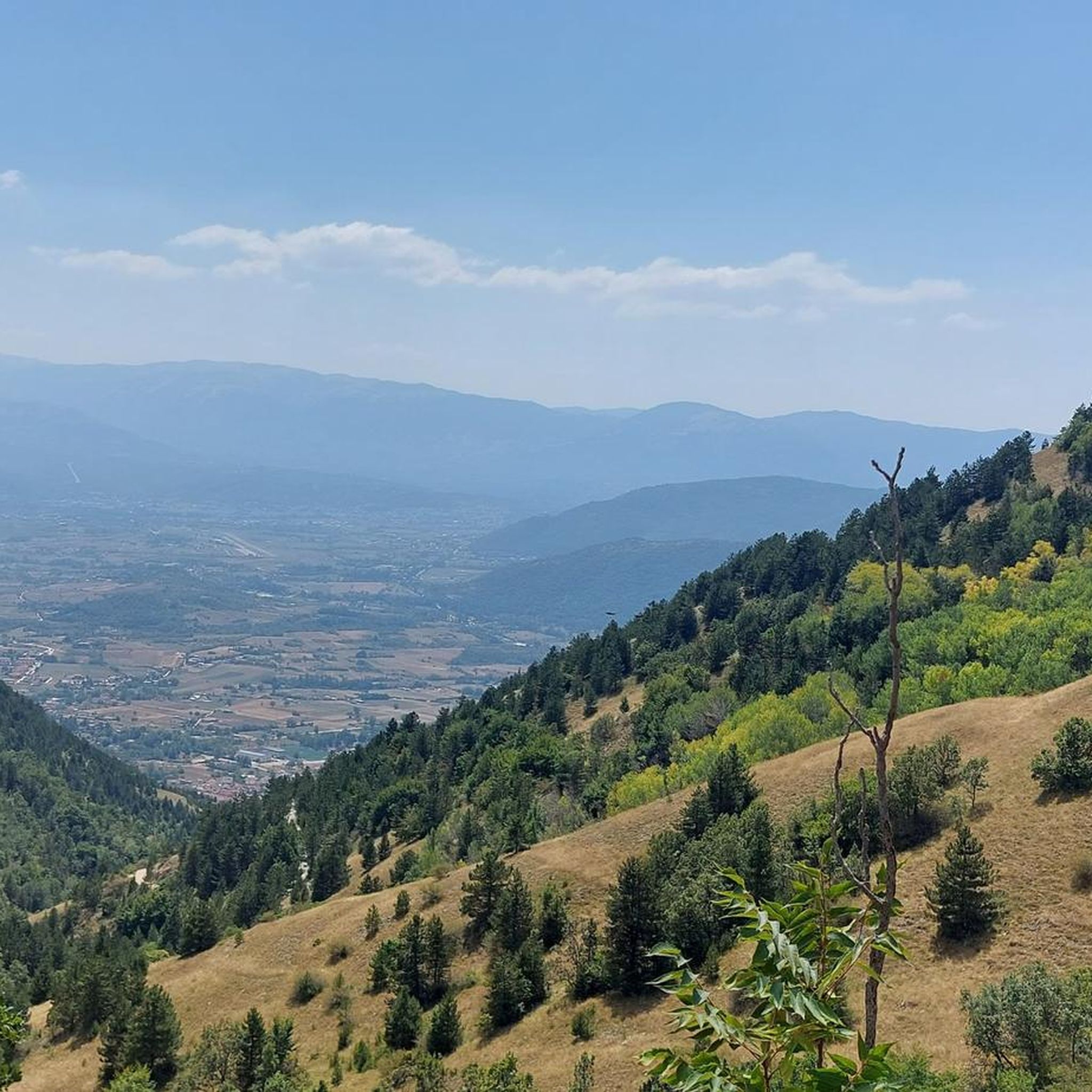
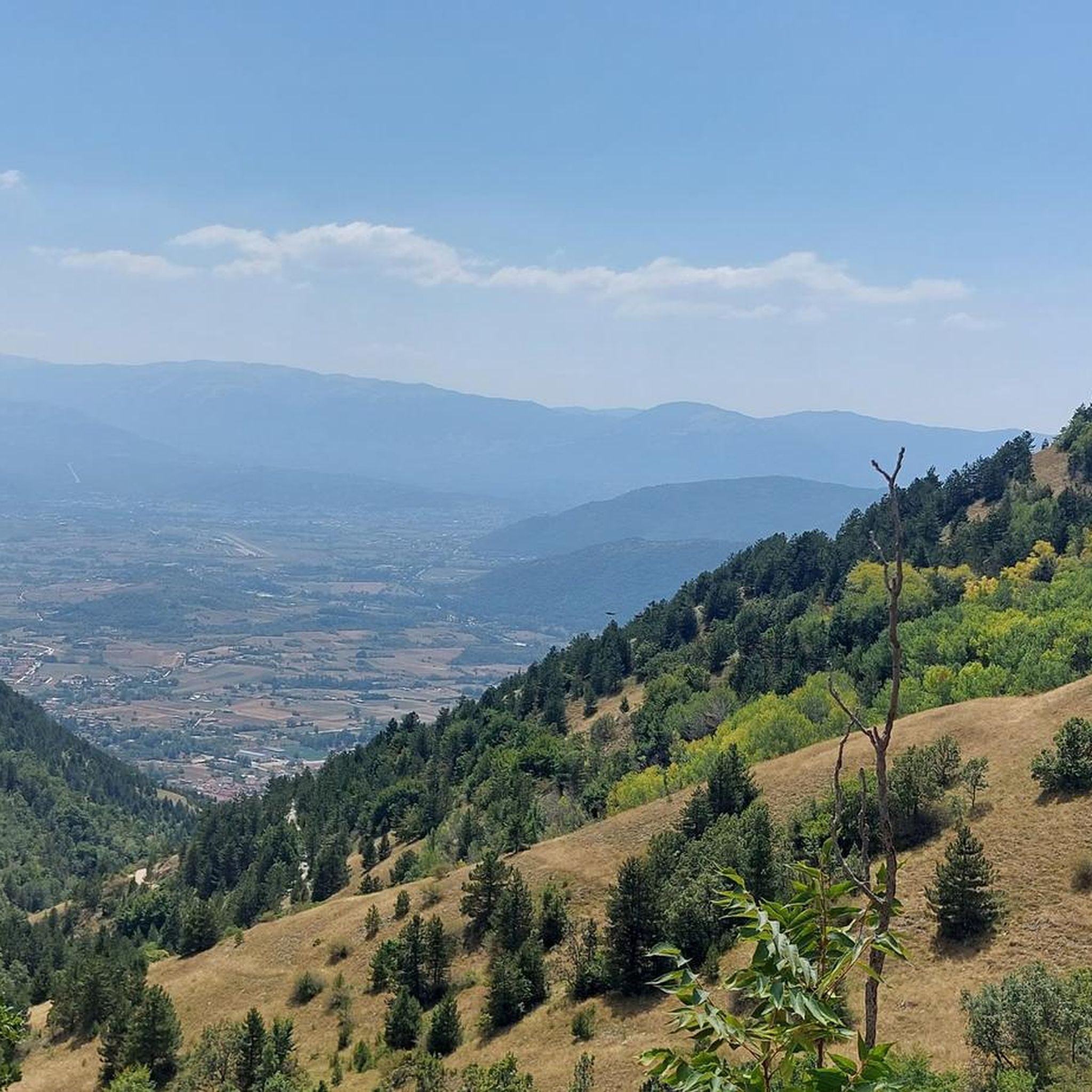
Just above the Panepucci refuge is this panoramic point. From here you can admire the Campotosto lake, the Laga mountains, the Sibillini mountains and the Terminillo complex. It is worth taking a walk just to get here.
0
0
Frequently Asked Questions
How many hiking trails are available around Barete?
There are over 70 hiking trails around Barete, offering a wide range of options for different skill levels. The area is known for its diverse landscapes, from gentle country lanes to challenging mountain ascents.
What kind of terrain can I expect on hikes near Barete?
Hiking around Barete features diverse terrain. You'll find mountainous areas, including parts of the Gran Sasso and Monti della Laga ranges, alongside rolling hills and more gentle country lanes. Trails often include varied landscapes, from open vistas to forested sections.
Are there any easy or family-friendly hikes in the Barete area?
Yes, while many trails are moderate to difficult, there are 6 easy routes suitable for families or those looking for a less strenuous walk. These often follow country lanes or gentler paths, providing a pleasant way to explore the region's natural beauty.
What natural features or landmarks can I see while hiking around Barete?
Hikers can enjoy views of Lago di Campotosto and explore trails originating from the scenic Valico delle Capannelle. Other notable natural features include the Rivotico Waterfall and the Monte Pettino Summit. The region is also part of the Gran Sasso and Monti della Laga Park, offering pristine natural environments.
Are there any circular hiking routes near Barete?
Yes, many routes around Barete are designed as loops. For example, the moderate Madonna degli Alpini loop from Valico delle Capannelle offers varied terrain, and the Rifugio Martinelli – Rifugio Santa Pupa loop from Pizzoli takes you through mountain refuges and forested areas.
What do other hikers say about the trails in Barete?
The trails in Barete are highly regarded by the komoot community, with an average rating of 4.3 stars from over 300 reviews. Hikers frequently praise the diverse terrain, the stunning mountain views, and the access to the protected natural environment of the Gran Sasso and Monti della Laga Park.
Are there any trails that offer views of Lago di Campotosto?
Yes, several trails provide excellent views of Lago di Campotosto. A challenging option is the Monte San Franco – View of Lago di Campotosto loop from Valico delle Capannelle, which offers expansive mountain vistas leading towards the lake.
Is parking available at the trailheads around Barete?
While specific parking details vary by trailhead, areas like Valico delle Capannelle are known starting points for several hikes, suggesting parking facilities are available there. For routes starting from villages like Pizzoli or San Giovanni, local parking options are typically present.
What is the best time of year to go hiking in Barete?
The best time to hike in Barete is generally from late spring through early autumn (May to October) when the weather is milder and trails are clear of snow. Summer offers warmer temperatures, while spring and autumn provide pleasant conditions with vibrant foliage or blooming wildflowers.
Are there any specific permits required for hiking in the Gran Sasso and Monti della Laga Park?
Generally, no specific permits are required for day hiking on established trails within the Gran Sasso and Monti della Laga Park. However, it's always advisable to check the official park regulations for any specific rules or restrictions, especially for activities like camping or accessing sensitive areas.
Can I find accommodation or places to eat near the hiking trails in Barete?
Barete and nearby towns like Pizzoli offer various accommodation options, from guesthouses to agriturismos. You can also find local cafes and pubs in these villages, providing places to refuel before or after your hike. For specific recommendations, it's best to check local listings.
Are there any trails suitable for dog owners in Barete?
Many trails in the Barete area are dog-friendly, allowing you to explore the natural landscapes with your canine companion. However, always keep your dog on a leash, especially within the Gran Sasso and Monti della Laga Park, to protect wildlife and ensure a pleasant experience for all hikers. Check specific trail regulations for any restrictions.
Most popular attractions around Barete

Get inspired with the komoot mobile app


Explore more
Browse the best Hikes in other regions.
