The best cycling routes around Castel Sant'Angelo
4.4
(30)
899
riders
72
rides
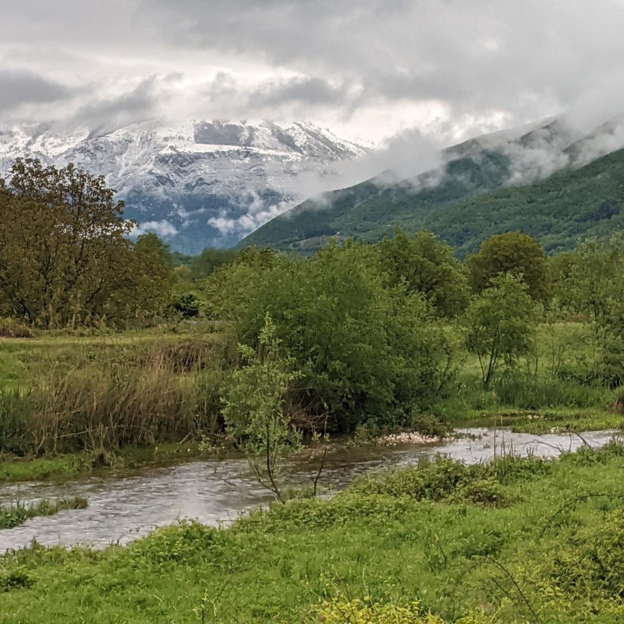
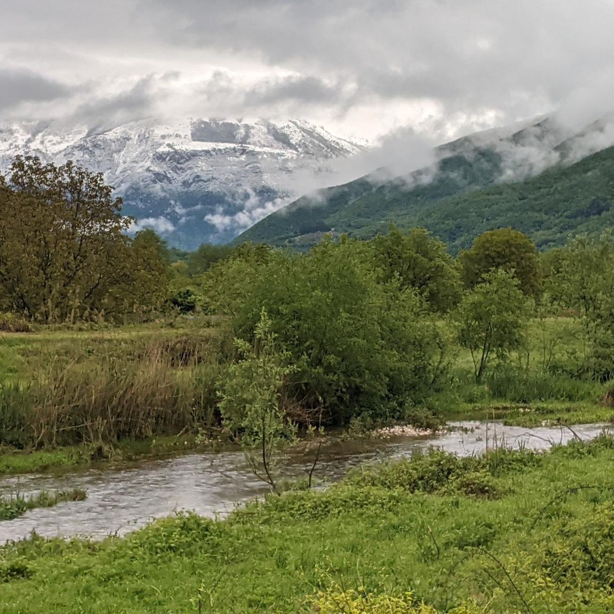
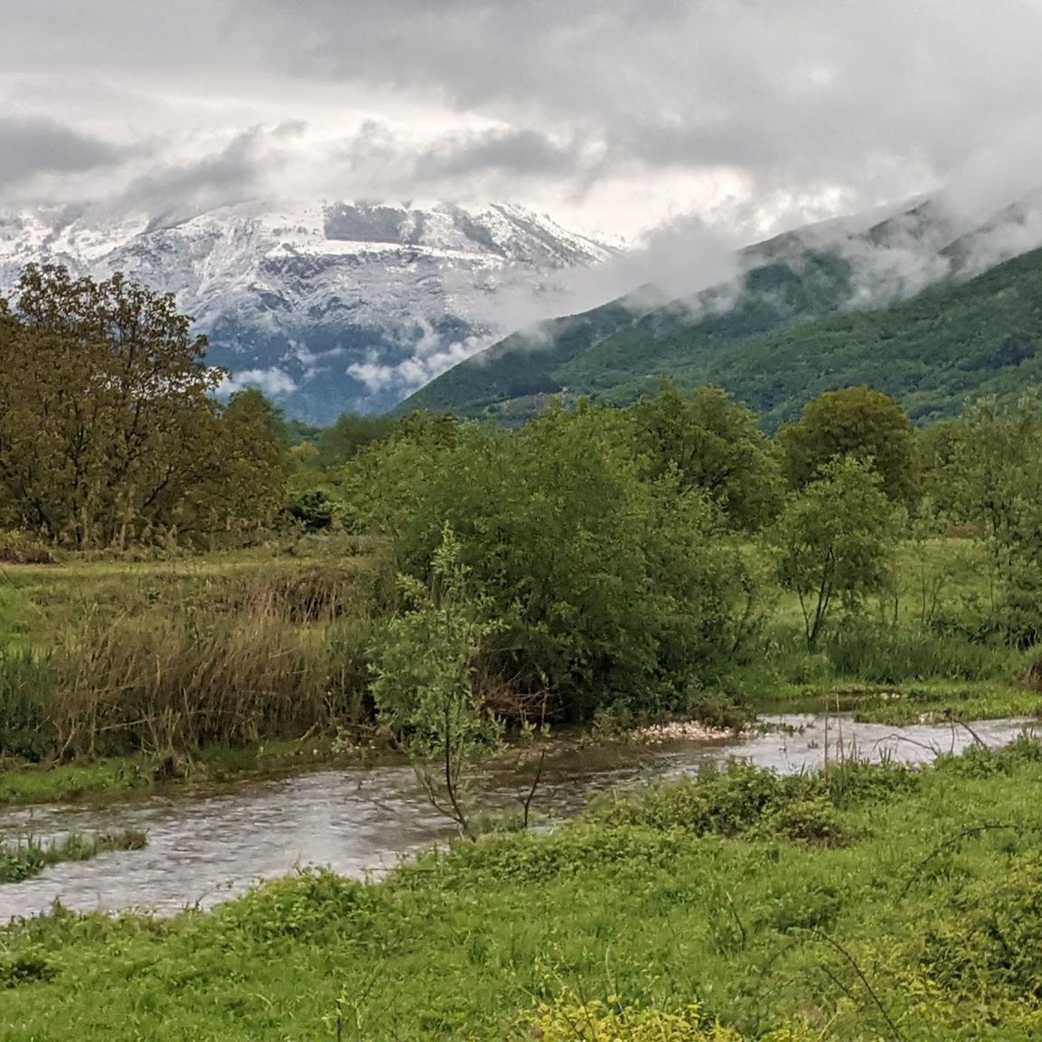
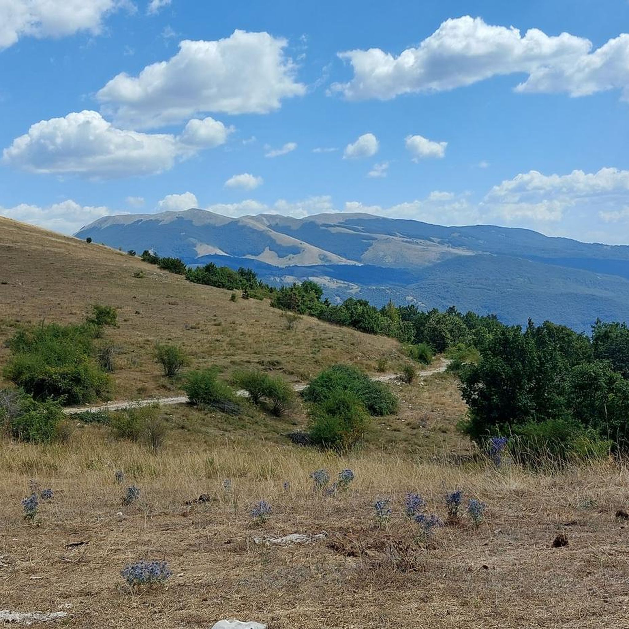
Touring cycling routes around Castel Sant'Angelo offer a diverse landscape, characterized by rolling hills and valleys, with some routes featuring significant elevation changes. The area provides a mix of rural roads and paths, often leading through agricultural land and small villages. While some trails are relatively flat, others present challenging climbs and descents, catering to various fitness levels.
Best touring cycling routes around Castel Sant'Angelo
- The most popular touring cycling route is From Pian de' Valli to Leonessa in the Val Leonina at the foot of Monte Terminillo, a 27.8 miles (44.8 km) trail that takes 3 hours 33 minutes to complete. This difficult route features substantial elevation gain through mountainous terrain.
- Another top favourite among local touring cyclists is Angelo Sebastiani Hut – Sella di Leonessa loop from Pian de' Valli, a moderate 11.1 miles (17.9 km) path. This route offers a scenic loop with varied terrain and moderate climbs.
- Local touring cyclists also love the Antrodoco Train Station – Antrodoco loop from Antrodoco-Borgo Velino, a 17.2 miles (27.6 km) trail leading through rural landscapes and small towns, often completed in about 2 hours 59 minutes.
- Touring cycling around Castel Sant'Angelo is defined by rolling hills, open valleys, and rural roads. The network offers options for different ability levels, from moderate loops to more challenging routes with significant ascents.
- The routes in Castel Sant'Angelo are highly rated by the komoot community with an average score of 4.2 stars from more than 30 reviews. More than 1000 touring cyclists have used komoot to explore Castel Sant'Angelo's varied terrain.
Last updated: July 5, 2026
4.5
(2)
42
riders
44.8km
03:33
1,310m
1,310m
Hard bike ride. Very good fitness required. Mostly paved surfaces. Suitable for all skill levels.
4.7
(3)
34
riders
17.9km
01:20
380m
380m
Moderate bike ride. Good fitness required. Mostly paved surfaces. Suitable for all skill levels.

Sign up for free
24
riders
27.6km
02:59
1,050m
1,050m
Hard bike ride. Very good fitness required. Mostly paved surfaces. Suitable for all skill levels.
18
riders
Moderate bike ride. Good fitness required. Mostly paved surfaces. Suitable for all skill levels.
16
riders
33.5km
03:34
1,030m
1,030m
Hard bike ride. Very good fitness required. Mostly paved surfaces. Suitable for all skill levels.
Get access to more routes and recommendations from other explorers.
Sign up for free
Already have an account?
Our route recommendations are based on thousands of hikes, rides, and runs completed by other people on komoot.
Start today with a free account
Your next adventure awaits.
Login or Signup
Tips from the Community

sustained 10% climbing but lovely quite roads with little traffic
0
0

The bar looks good with the two tarts. Last stop before reaching the top
0
0

cuz b or ii b ii on ii or on k jo or on b or ird ii on iii or ok ok ii in ii
0
0

The town of Pian de’ Valli, is located in the municipality of Rieti, stands at the foot of Terminillo, at an altitude of 1620 meters, hosts many accommodation and commercial activities, and the departure station of the ski lifts is located a few steps from the center. The famous Terminillo cable car is still in operation today both in the winter and summer seasons and is the historical symbol of Pian de’ Valli.
2
0

Romanesque fountain located in Piazza Umberto I The three spouts symbolize the three castles linked to the village and the three mountains that surround it. It bears the Farnese coat of arms.
0
0
A jewel of medieval art, recognized as a National Monument, it is located just outside the town center, next to the current Salaria.
0
0

Panorama on the north-east side of Terminillo
0
0

Great place for a stop: you can enjoy excellent sandwiches or stop for lunch
0
0
Frequently Asked Questions
How many touring cycling routes are available around Castel Sant'Angelo?
There are over 75 touring cycling routes around Castel Sant'Angelo, offering a wide range of options for different skill levels and preferences. The komoot community has rated these routes highly, with an average score of 4.2 stars.
What is the general terrain like for touring cycling in the Castel Sant'Angelo area?
The terrain around Castel Sant'Angelo is characterized by rolling hills and valleys. While some routes are relatively flat, many feature significant elevation changes, including challenging climbs and descents. You'll find a mix of rural roads and paths, often passing through agricultural land and small villages.
Are there any easy touring cycling routes suitable for beginners or families?
Yes, there are a few easier options. While many routes involve significant elevation, you can find 3 easy routes and 17 moderate routes. The Angelo Sebastiani Hut – Sella di Leonessa loop from Pian de' Valli is a moderate 11.1-mile path with varied terrain and manageable climbs, which could be suitable for those looking for a less strenuous ride. Additionally, the Tiber Cycle Path, accessible directly from Castel Sant'Angelo, offers a largely flat and peaceful ride along the river, ideal for families or beginners.
What kind of landmarks or attractions can I see while cycling near Castel Sant'Angelo?
Cycling from Castel Sant'Angelo offers access to numerous historical sites and natural features. Along the Tiber Cycle Path, you can enjoy views of St. Peter's Basilica, Ponte Milvio, and other historic bridges. The area also features several lakes and huts. Notable highlights include the Salto Dam, Lake Salto, and the Angelo Sebastiani Hut.
Are there any circular touring cycling routes in the region?
Yes, several circular routes are available. For example, the Angelo Sebastiani Hut – Sella di Leonessa loop from Pian de' Valli is a popular moderate option. Another is the Antrodoco Train Station – Antrodoco loop from Antrodoco-Borgo Velino, which is a more challenging 17.2-mile trail through rural landscapes.
What is the best time of year to go touring cycling around Castel Sant'Angelo?
Rome generally offers pleasant cycling conditions for much of the year. Spring (April-May) and Autumn (September-October) are often considered ideal, with mild temperatures and less crowded conditions. Summer can be hot, especially in July and August, while winter can be cooler but still offers opportunities for cycling on clear days.
Can I rent a bike near Castel Sant'Angelo?
Yes, bike rentals are readily available in Rome, including in areas accessible from Castel Sant'Angelo. You'll find various shops offering different types of bikes suitable for touring.
What do other touring cyclists enjoy most about the routes around Castel Sant'Angelo?
The area is highly rated by the komoot community, with an average score of 4.2 stars from over 30 reviews. Cyclists often praise the diverse landscape, which combines historical views along the Tiber with challenging climbs in the rolling hills, and the opportunity to explore rural roads and small villages.
Are there any routes that offer significant elevation gain for a challenging ride?
Absolutely. The region is known for its challenging routes. For instance, From Pian de' Valli to Leonessa in the Val Leonina at the foot of Monte Terminillo is a difficult 27.8-mile trail featuring substantial elevation gain through mountainous terrain. Another challenging option is the Pian de' Valli, Terminillo – Monte Cardito Summit loop from Pian de' Valli, which also includes significant ascents.
Can I access green spaces or parks for cycling from Castel Sant'Angelo?
Yes, Castel Sant'Angelo's location provides excellent access to several green areas. Immediately surrounding the castle are the Gardens of Castel Sant'Angelo-Mole Adriana Park. You can also easily reach Parco Adriano along the Tiber River. For more extensive rides, Villa Borghese, Rome's most famous park, offers wide, shaded paths, and the Grande Raccordo Anulare delle Bici (GRAB) is an ambitious 45 km cycling loop that encircles Rome's historic center, passing through various green spaces.
Is it possible to combine cycling with exploring ancient Roman sites?
Definitely. The Tiber Cycle Path allows for direct views and easy detours to numerous historical sites in central Rome. While a bit further afield, the Appia Antica (Ancient Appian Way) offers a unique cycling experience through Roman ruins and catacombs, providing a serene escape from the city and a deep dive into history.
Are there any routes that lead to natural water features like lakes?
Yes, the region around Castel Sant'Angelo includes several beautiful lakes. You can find routes that pass by or lead to destinations like Lake Salto and Lake Rascino, offering scenic views and tranquil spots during your ride.
Most popular attractions around Castel Sant'Angelo

Get inspired with the komoot mobile app


Explore more
Browse the best Cycling routes in other regions.
