The best walks and hikes around Castel Sant'Angelo
4.5
(684)
3,874
hikers
134
hikes
Hiking around Castel Sant'Angelo offers access to mountainous terrain and scenic valleys. The region is characterized by significant elevation changes, with routes leading through diverse landscapes. Trails often connect to mountain refuges and provide views over the surrounding area. This area provides a range of hiking experiences, from easier loops to more challenging ascents.
Best hiking trails around Castel Sant'Angelo
- The most popular hiking route is From Castel Sant'Angelo to Terminillo - Ring tour, a 18.8 miles (30.3 km)…
Last updated: May 24, 2026
3.0
(2)
2
hikers
30.3km
09:55
1,370m
1,370m
Hard hike. Very good fitness required. Easily-accessible paths. Suitable for all skill levels.
4.8
(30)
141
hikers
Moderate hike. Good fitness required. Mostly accessible paths. Sure-footedness required.

Sign up for free
5.0
(5)
78
hikers
8.98km
02:49
300m
300m
Moderate hike. Good fitness required. Mostly accessible paths. Sure-footedness required.
4.3
(9)
58
hikers
16.4km
05:43
710m
710m
Hard hike. Very good fitness required. Mostly accessible paths. Sure-footedness required.
4.7
(7)
67
hikers
Easy hike. Great for any fitness level. Easily-accessible paths. Suitable for all skill levels.
Get access to more routes and recommendations from other explorers.
Sign up for free
Already have an account?
Our route recommendations are based on thousands of hikes, rides, and runs completed by other people on komoot.
Start today with a free account
Your next adventure awaits.
Login or Signup
Tips from the Community


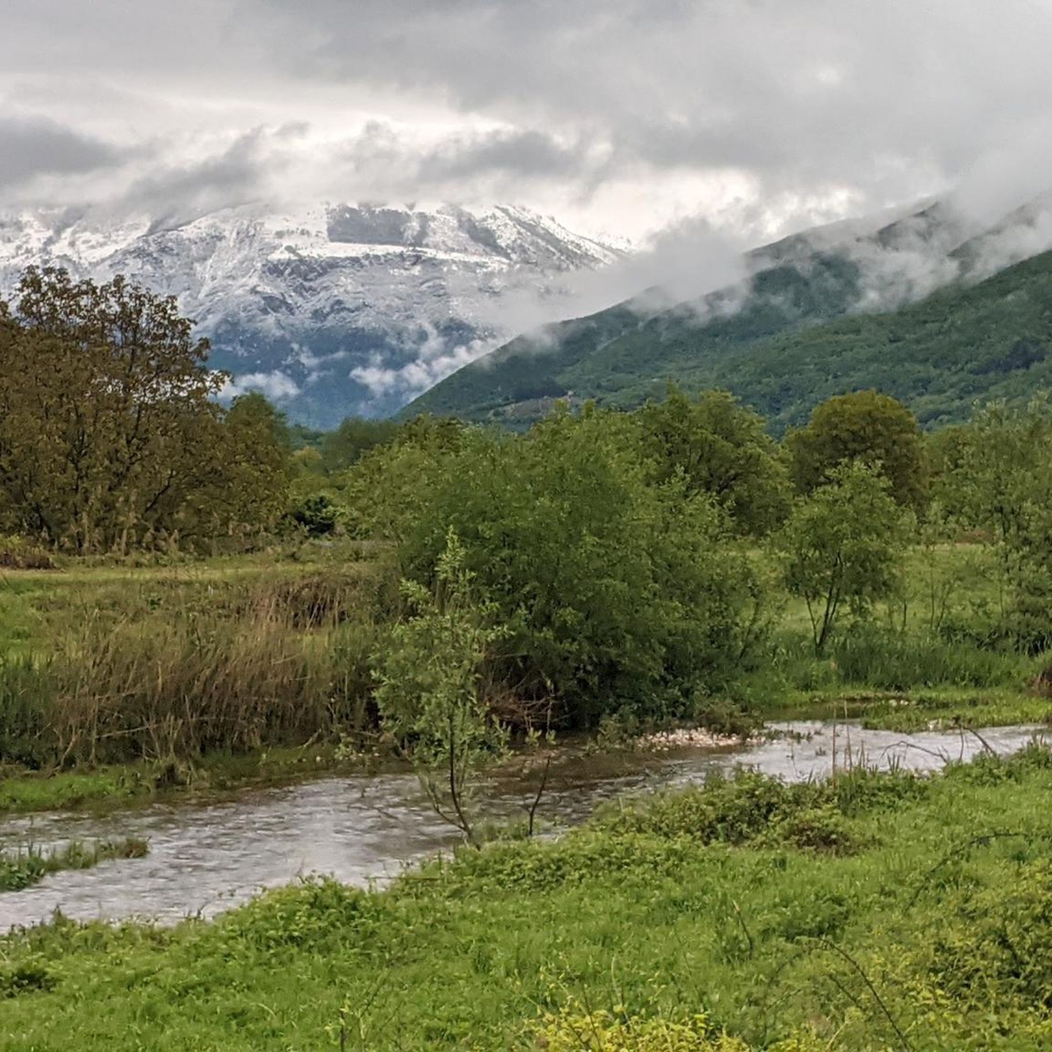
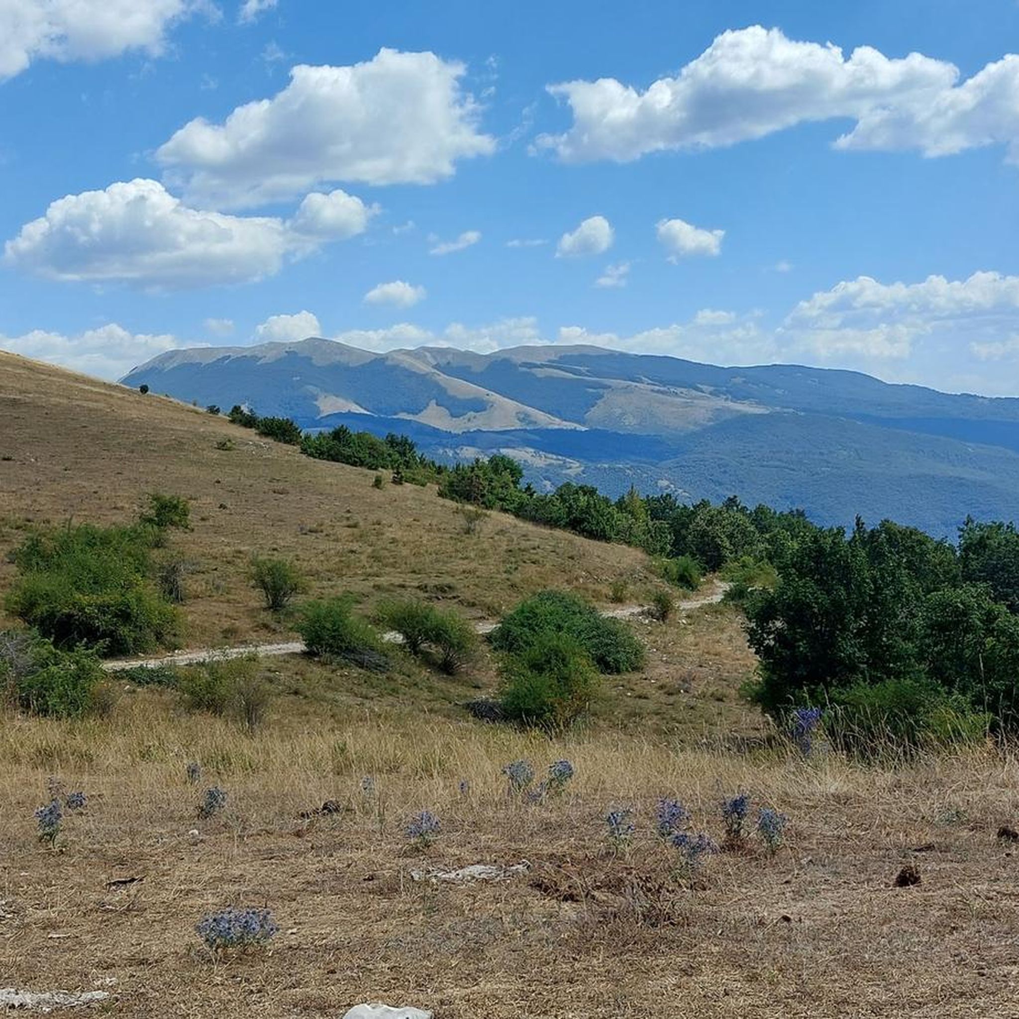
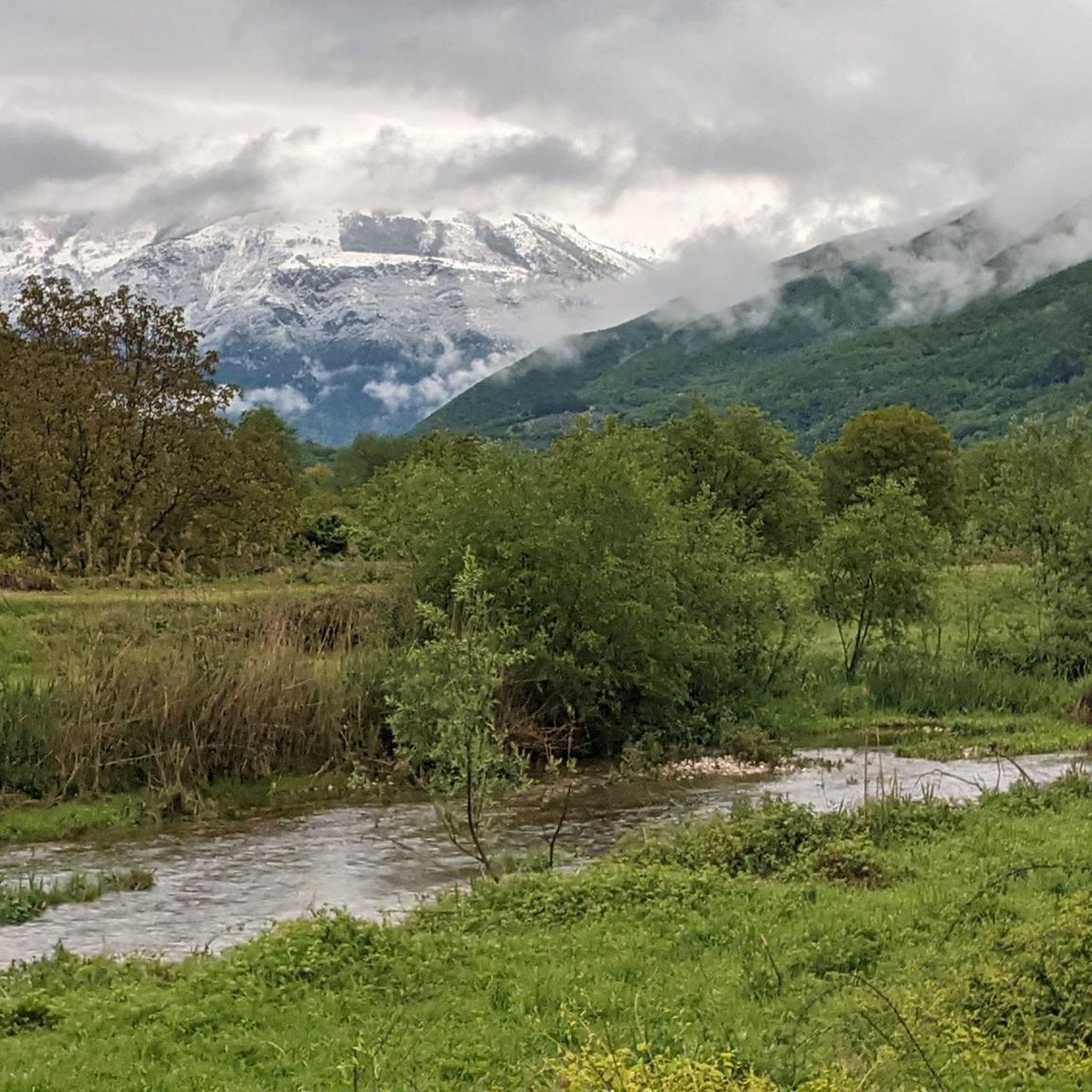
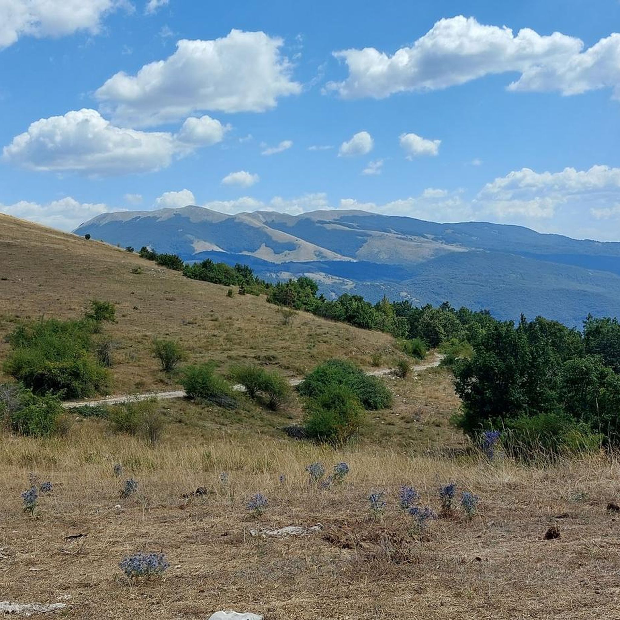
From the summit of Mount Terminillo, 2,216 meters, you can enjoy a breathtaking 360-degree panorama. You can admire the crests of Mount Elefante, Mount Brecciaro, Mount Valloni, Corno Grande, the Laga mountains, the Velino/Sirente massif, and on clear days even Mount Vettore and Gran Sasso. The view of the valleys below is fantastic, and from the highest point, it offers a unique panorama of the Sassetelli ridge, Mount Terminelletto, and the narrow saddle connecting the two peaks. On clear days, the view allows you to glimpse the magnificent mountains of the Central Apennines and the Gran Sasso.
0
0
From the summit of Mount Terminillo, at 2,216 meters, you can enjoy a breathtaking 360-degree panorama. You can admire the crests of Mount Elefante, Mount Brecciaro, Mount Valloni, Corno Grande, the Laga mountains, the Velino/Sirente massif, and on clear days even Mount Vettore and Gran Sasso. The view of the valleys below is spectacular; from the summit, you can admire the spectacular Sassetelli ridge and the ridge leading to Mount Terminelletto, as well as the magnificent mountains of the Central Apennines and the Sibillini Mountains.
1
0

A journey through the clouds
2
0

The bar looks good with the two tarts. Last stop before reaching the top
0
0

The town of Pian de’ Valli, is located in the municipality of Rieti, stands at the foot of Terminillo, at an altitude of 1620 meters, hosts many accommodation and commercial activities, and the departure station of the ski lifts is located a few steps from the center. The famous Terminillo cable car is still in operation today both in the winter and summer seasons and is the historical symbol of Pian de’ Valli.
2
0

Wait for the sunset and you will cry :)
0
0
Frequently Asked Questions
How many hiking trails are available around Castel Sant'Angelo?
The Castel Sant'Angelo region offers a wide variety of hiking experiences, with over 100 routes available. These range from easy strolls to challenging mountain ascents, catering to different fitness levels and preferences.
What types of hiking difficulties can I expect in Castel Sant'Angelo?
The area provides a diverse range of difficulties. You'll find approximately 12 easy routes, 67 moderate trails, and 33 difficult hikes. This variety ensures options for casual walkers and experienced mountaineers alike.
Are there many circular hiking routes in the Castel Sant'Angelo area?
Yes, many of the trails around Castel Sant'Angelo are designed as loops, allowing you to start and finish at the same point. An example of an easy circular route is the Terminillo Loop loop from Pian de' Valli, which is about 3.9 miles (6.2 km) long.
Are there family-friendly hiking options suitable for children?
For families, the region offers several easier routes. These trails typically have less elevation gain and shorter distances, making them suitable for children. Look for routes marked as 'easy' in the komoot app to find the best options for a family outing.
What are some notable landmarks or attractions I can see while hiking?
While hiking around Castel Sant'Angelo, you can encounter several interesting landmarks. Highlights include the majestic Mount Terminillo, the serene Sanctuary of Saint Mary of the Forest, and the impressive Salto Dam. Many trails also offer stunning views from points like the Scenic Viewpoint Over the Valley.
Are there any mountain huts or refuges along the trails?
Yes, the mountainous terrain around Castel Sant'Angelo features several mountain refuges. These huts can provide a welcome break, shelter, or even overnight stays on longer routes. For instance, the Rifugio Angelo Sebastiani – Angelo Sebastiani Hut loop from Pian de' Valli leads directly to a refuge.
What is the best season for hiking in Castel Sant'Angelo?
The best season for hiking generally depends on the specific trail and your preferences. Spring and autumn offer pleasant temperatures and vibrant scenery. Summer is ideal for higher altitude routes, while some trails may be accessible for winter hiking, though requiring appropriate gear and caution due to snow and ice.
What should I pack for a hike in this region?
Given the significant elevation changes and mountainous terrain, it's advisable to pack layers of clothing, sturdy hiking boots, sufficient water, snacks, and navigation tools. For longer or more challenging routes, consider a first-aid kit, headlamp, and waterproof gear. Always check the weather forecast before heading out.
Are there any easy hikes near Pian de' Valli?
Pian de' Valli serves as a great starting point for various hikes, including easier options. An example is the Terminillo Loop loop from Pian de' Valli, which is an easy 3.9-mile (6.2 km) trail.
What do other hikers enjoy most about hiking in Castel Sant'Angelo?
The area is highly rated by the komoot community, with an average score of 4.5 stars from over 700 reviews. Hikers often praise the extensive mountain views, the diverse terrain, and the well-maintained network of trails that connect to various mountain refuges.
Are there any trails that offer extensive mountain views?
Absolutely. Many routes in Castel Sant'Angelo are known for their panoramic mountain views. The From Castel Sant'Angelo to Terminillo - Ring tour, for example, is a challenging route specifically highlighted for its extensive mountain vistas.
Most popular attractions around Castel Sant'Angelo

Get inspired with the komoot mobile app


Explore more
Browse the best Hikes in other regions.
