The best walks and hikes in Reggio nell'Emilia
4.4
(10261)
54,204
hikers
1,811
hikes
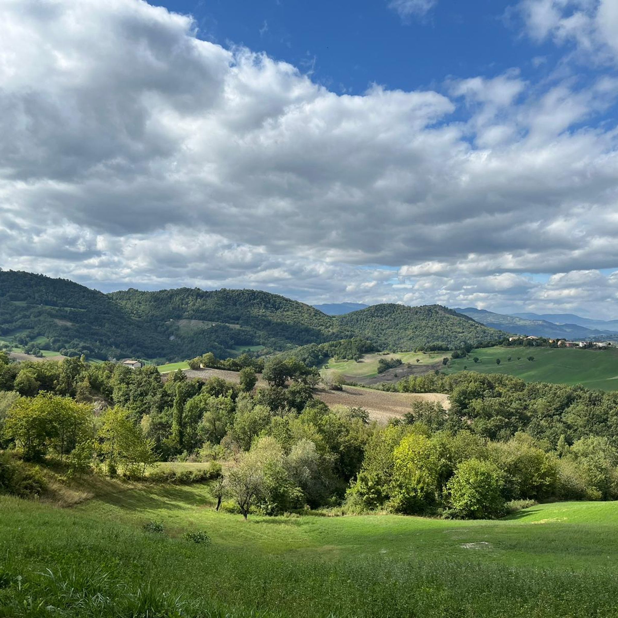
Hiking in Reggio nell'Emilia offers diverse landscapes, from the foothills to the higher elevations of the Reggiano Apennines. The region features a mosaic of panoramic ridges, chestnut forests, and high-altitude grasslands, particularly within the Tuscan-Emilian Apennine National Park. Unique geological formations like the Pietra di Bismantova and "Calanchi" add to the varied terrain, alongside trails along rivers such as the Crostolo. This area provides a range of hiking experiences for various skill levels.
Best hiking trails in Reggio nell'Emilia
- The most popular hiking route is Monte Cusna from Rifugio Monte Orsaro – loop hike, a 6.7 miles (10.7 km) trail that takes 4 hours 25 minutes to complete. This difficult route ascends towards Monte Cusna, the highest peak in the Reggio Emilia Apennines.
- Another top favourite among local hikers is Bianello Park Trail, an easy 3.8 miles (6.1 km) path. This route offers gentle gradients through parkland, suitable for a relaxed walk.
- Local hikers also love the From Castelnovo ne' Monti to Pietra di Bismantova – loop tour, a 4.3 miles (6.9 km) trail leading through varied terrain to the iconic Pietra di Bismantova rock massif, often completed in about 2 hours 25 minutes.
- Hiking in Reggio nell'Emilia is defined by the mountainous Reggiano Apennines, unique rock formations like Pietra di Bismantova, and extensive forests. The network offers options for different ability levels, from gentle river walks to challenging mountain ascents.
- The routes in Reggio nell'Emilia are highly rated by the komoot community with an average score of 4.4 stars from over 5500 reviews. More than 30000 hikers have used komoot to explore Reggio nell'Emilia's varied terrain.
Last updated: August 17, 2026
4.7
(109)
479
hikers
10.7km
04:26
810m
820m
Embark on the challenging Monte Cusna from Rifugio Monte Orsaro loop hike, a difficult route that takes you through diverse terrain in the Tuscan-Emilian Apennines. As you ascend, the majestic Monte Cusna, often called the "Sleeping Man" due to its profile, remains a constant visual anchor. This trail covers 6.7 miles (10.7 km) with a significant elevation gain of 2655 feet (809 metres), typically requiring around 4 hours and 25 minutes to complete. You will experience a mix of natural, unpaved mountain paths and exposed alpine sections, demanding good physical fitness and sure-footedness.
Starting from Rifugio Monte Orsaro, which is easily accessible by car, this loop offers a true alpine hiking experience. Be prepared for varied conditions, including rocky areas and steep climbs, especially on the descent. Some parts of the trail, like the northern ridge (sentiero 625) or the direct ascent via path 607, are highly technical and recommended for experienced hikers. Always ensure you have sturdy shoes and prior alpine experience before setting out on this demanding route.
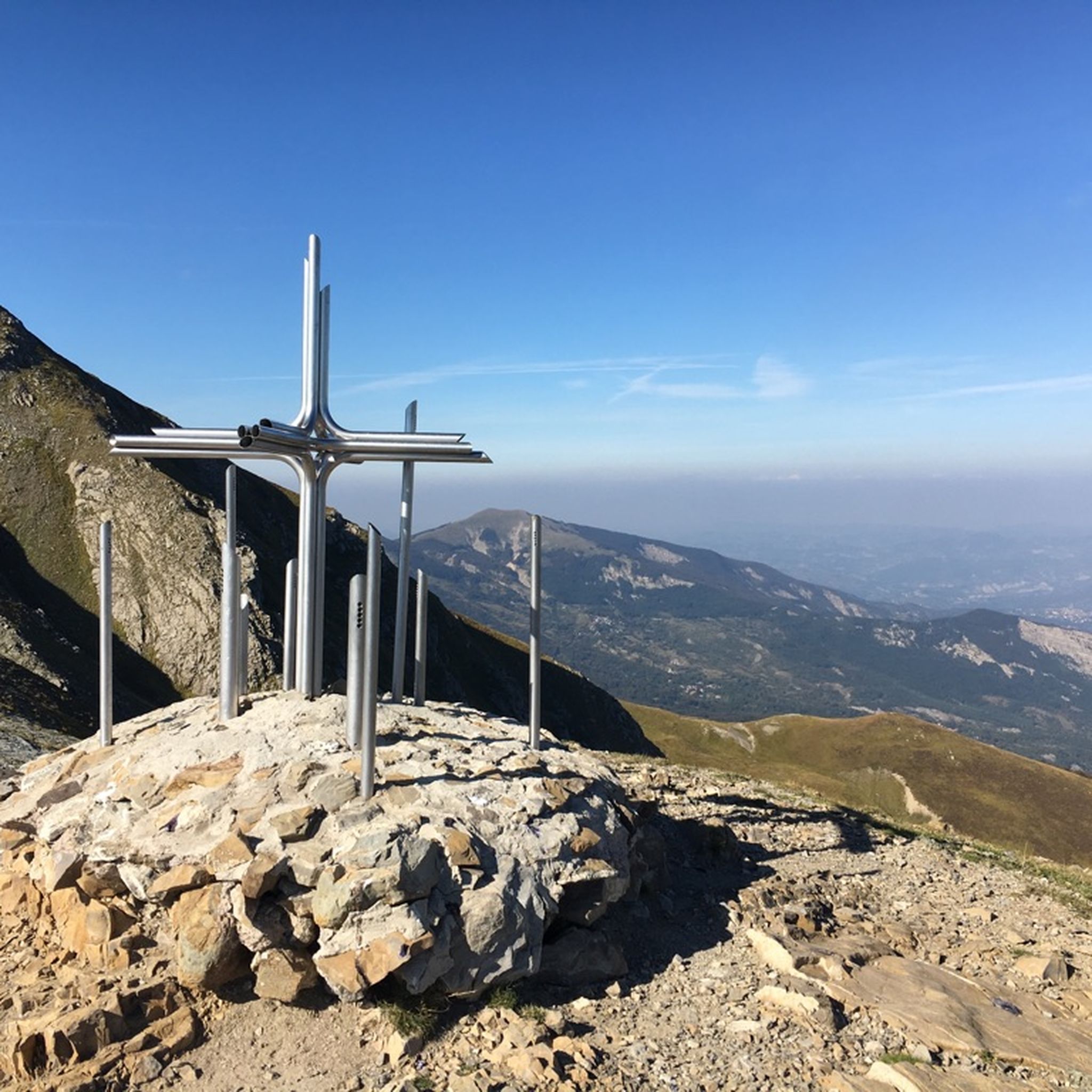
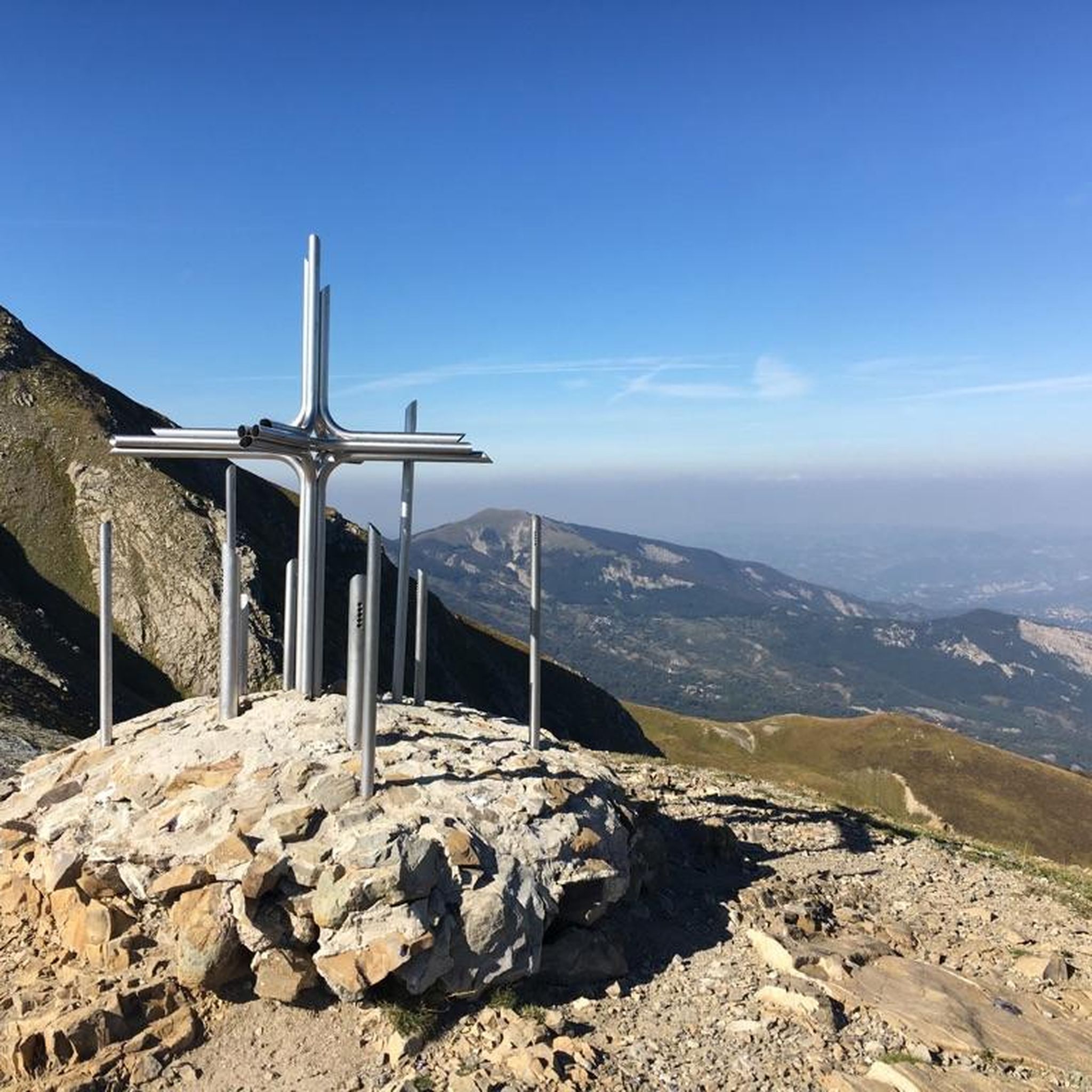
Monte Cusna is the highest peak in the Reggiano Apennines, making its summit a significant achievement. From the top, you can enjoy a splendid 360-degree panorama that, on clear days, extends all the way to the Alps and includes the Apuan Alps. The hike is situated within the beautiful Tuscan-Emilian Apennines National Park, an area known for its ancient beech forests and natural attractions. The summit itself is marked by a metallic cross and a statue of the Madonna, providing a focal point for your efforts.
4.4
(95)
274
hikers
6.12km
01:47
160m
160m
The Bianello Park Trail offers an easy hike through a protected natural reserve in the lower Emilian Apennines. You will wander through oak forests and small meadows, enjoying scenic views of the surrounding hilly landscape. This gentle route covers 3.8 miles (6.1 km) with an elevation gain of 514 feet (157 metres), taking about 1 hour and 47 minutes to complete. As you hike, you will pass by the historic Castello di Bianello, a notable landmark. Keep an eye out for diverse flora and listen for the sounds of over 130 bird species that call this area home.
To begin your hike, you can typically find parking near the starting point in Quattro Castella. The trail is well-maintained and accessible, making it suitable for families and individuals looking for a leisurely walk. For additional information or details about guided excursions, you can visit the Oasi di Bianello Visitor Center. This loop is generally open and welcoming for visitors seeking a pleasant outdoor experience.
This trail allows you to explore a unique natural reserve, home to diverse plant species and a rich bird population. You might also encounter educational panels along paths like the Butterfly Trail, highlighting the area's ecological importance. The historic Castello di Bianello adds a cultural layer to your journey, connecting you to the region's past and figures like Matilda of Canossa. It is a great option if you are looking for a blend of nature and history.

Sign up for free
4.3
(55)
178
hikers
4.77km
01:25
140m
140m
Embark on an easy 3.0-mile (4.8 km) hike along the Butterfly Trail through LIPU Bianello Oasis, a route that takes about 1 hour and 24 minutes to complete. You will gain approximately 459 feet (140 metres) in elevation as you explore mixed forests of oaks, hornbeams, and ash trees. The trail offers a peaceful experience, winding through rich undergrowth and past the famous Sentiero delle Farfalle, where you can observe diverse insect life.
To begin your adventure, you can find convenient parking at the trailhead. If you are coming from Reggio Emilia, take state road 63, then after passing Rivalta, follow the signs for Quattro Castella. From there, continue following the signs that direct you to Oasi Bianello. This clear signage makes accessing the starting point straightforward, allowing you to quickly immerse yourself in the natural surroundings.
This area is a haven for wildlife, boasting over 130 bird species, including the impressive Sparrowhawk, which is the symbol of the oasis. As you hike, you will encounter interesting geological features, such as rocks containing numerous ammonite fossils, remnants of an ancient sea. The route also passes the artistic Scultura del Libro on the Anita Garibaldi path, offering a unique blend of nature and cultural heritage.
4.6
(119)
522
hikers
12.3km
03:34
330m
330m
Embark on the Ca' del Vento Loop Trail, a moderate hiking experience that takes you through a varied landscape of open meadows, fields, and shaded forested areas. This route covers 7.6 miles (12.3 km) with an elevation gain of 1086 feet (331 metres), typically completed in about 3 hours and 34 minutes. As you hike, you will encounter the distinctive Messinian Chalks formations, adding a unique geological touch to the scenery. From the Giareto Viewpoint at Ca' del Vento, you can enjoy expansive views across the plains, including clear sights of Reggio Emilia and Scandiano. The trail offers a pleasant mix of terrain and natural beauty.
To begin your adventure on the Ca' del Vento Loop Trail, head to the area near Borzano, Italy, where you will typically find parking available. The route is generally accessible, making it suitable for both walking and cycling, though hikers should be prepared for some sections that include dirt roads and single tracks. This trail is a great option for a half-day outing, allowing you to immerse yourself in nature without requiring extensive planning. Consider starting in the morning to enjoy cooler temperatures and ample daylight for your 3.5-hour journey. Always check local conditions before you go to ensure a smooth experience.
The Ca' del Vento Loop Trail is situated within the significant natural area of SIC - Ca' del Vento, Ca' del Lupo, Gessi di Borzano. This region is known for its rich biodiversity, offering a chance to observe various plant and animal life as you traverse the path. The Messinian Chalks formations you will see are part of a UNESCO Natural Heritage Site, highlighting the geological importance of this area. This makes the trail not just a physical activity, but also an educational journey through a protected and unique environment.
4.6
(80)
317
hikers
8.43km
02:41
310m
310m
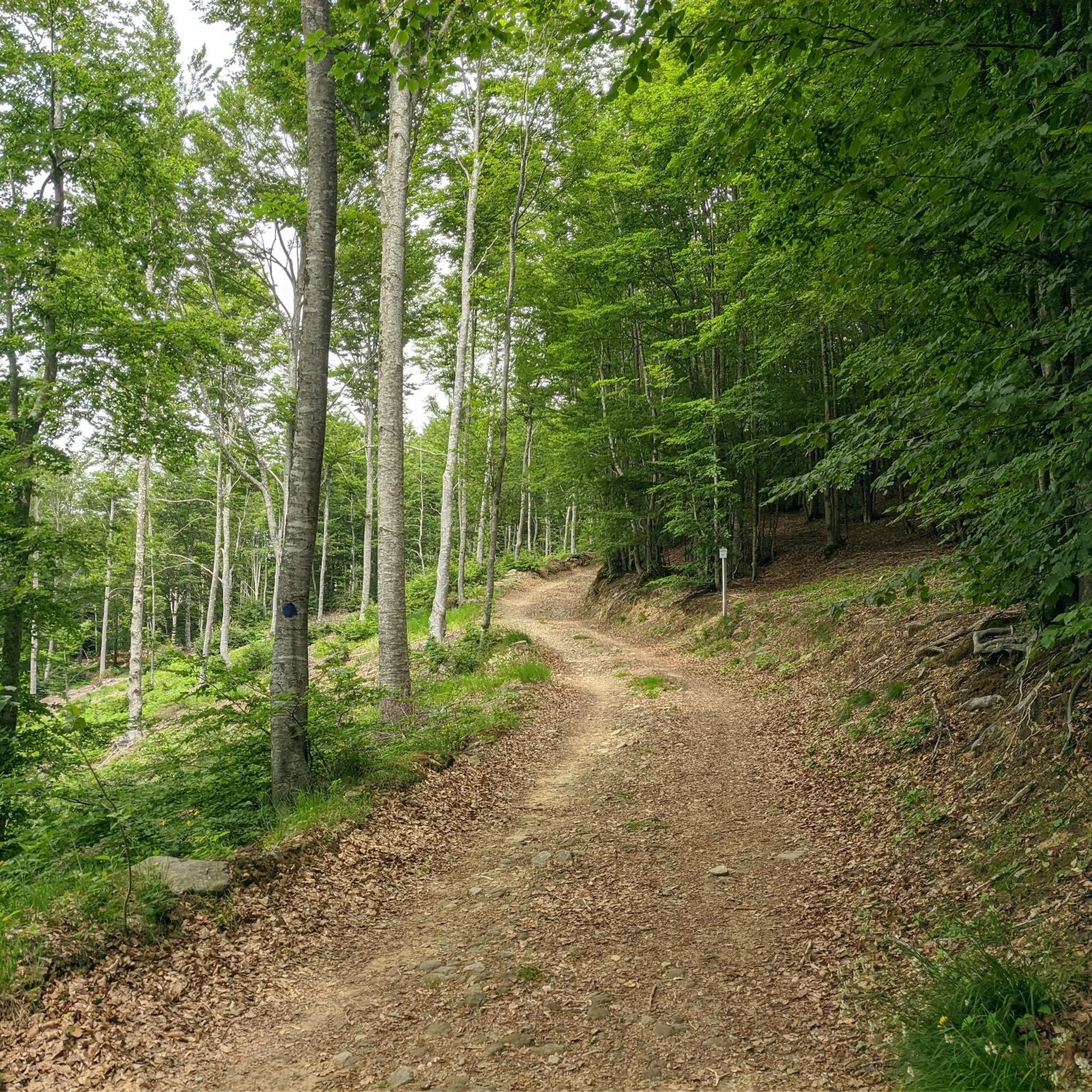
The Celestial Trail offers a moderate hiking experience through the Appennino Tosco-Emiliano National Park, covering 5.2 miles (8.4 km) with an elevation gain of 1021 feet (311 metres). You can expect to complete this journey in about 2 hours and 40 minutes. As you hike, you will pass through tranquil beech forests and open meadows, leading to panoramic viewpoints. The route features varied terrain, so be prepared for sections that require sure footing. A highlight is the Secchia River Sources, found within a natural rocky amphitheater where the river begins.
To begin your hike, head to Passo del Cerreto, which serves as the starting point for the route. You will find parking available there, along with access to the national park's visitor center. This center is conveniently located at a local restaurant and can provide valuable information about the trail and the surrounding region. Planning your visit around good weather will enhance your experience on this rewarding route.
Beyond the natural beauty, the trail also offers a glimpse into history at the Passo dell'Ospedalaccio. Here, you can see a Napoleonic memorial stone, adding a cultural layer to your outdoor adventure. The route provides extensive views of the Secchia river valley, allowing you to spot prominent features like Monte Ventasso and the distinctive Pietra di Bismantova. This combination of natural and historical elements makes the Celestial Trail a notable option in the area.
4.6
(80)
317
hikers
8.47km
02:38
300m
300m
Embark on the Celestial Trail, a moderate hike spanning 5.3 miles (8.5 km) with an elevation gain of 968 feet (295 metres), typically completed in 2 hours and 37 minutes. This route guides you through the diverse landscapes of the Tuscan-Emilian Apennine National Park. You will wander through lush beech forests, discovering remnants of old charcoal-burning sites known as "carbonaie." The path features gentle ascents and descents, leading you to the refreshing natural spring of Fonte dei Linguazzi. Expect a peaceful journey immersed in forest sounds.
To begin your hike, head to the historic Cerreto Pass, which serves as the starting point for the Celestial Trail. This area is well-known for its accessibility, making it easy to reach. You will find general parking available directly at Cerreto Pass, ensuring a convenient start to your adventure. The trail offers an excellent opportunity to escape urban noise and connect with nature. Plan your visit to allow ample time to enjoy the forest environment.
This route is set within the picturesque Tuscan-Emilian Apennine National Park, offering a chance to experience its natural beauty. As you hike, you can enjoy panoramic views towards the Secchia Valley, Monte Ventasso, and the distinctive Pietra di Bismantova from the Cerreto Pass area. The trail provides an excellent opportunity to immerse yourself in the sounds of the forest, such as rustling leaves and gurgling water.
5.0
(43)
250
hikers
14.9km
06:38
990m
990m
Embark on a challenging hike through diverse landscapes on the Monte Cusna Loop from Pianvallese. This difficult route spans 9.3 miles (14.9 km) and involves a significant elevation gain of 3239 feet (987 metres), typically taking around 6 hours and 37 minutes to complete. You will begin in a peaceful beech forest, which soon gives way to expansive grassy slopes and high-altitude meadows where marmots might be seen. As you climb towards Il Passone, the path becomes rockier, revealing sweeping views over the Dolo and Ozola valleys. The final push to the Monte Cusna Summit rewards you with broad 360-degree vistas, potentially extending to the Alps, the Tyrrhenian Sea, and even Corsica on a clear day.
Before you set out, be aware that this is a difficult hike demanding good physical fitness and sure-footedness, particularly on the rocky terrain past Il Passone. While the initial sections are comfortable, expect steep slopes and possible scrambling on easy rock faces if you opt for a more direct ascent. The Rifugio CAI "Cesare Battisti" is located near Passone and provides a convenient stopping point; it operates daily during summer and on weekends at other times of the year. Plan your visit accordingly to ensure you have enough daylight and energy for the entire journey.
This trail offers a deep dive into the Parco Nazionale dell'Appennino Tosco-Emiliano, showcasing its varied ecosystems from dense forests to alpine meadows. Monte Cusna, often called the "Giant of the Apennines," is the second-highest peak in the northern Apennines, making this route a significant regional undertaking. The diverse terrain and the chance to spot wildlife like marmots add to the unique character of this high-altitude adventure. It is a prime example of the rugged beauty found within this protected natural area.
4.4
(50)
147
hikers
6.87km
02:26
380m
380m
Embark on a moderate 4.3-mile (6.9 km) loop tour from Castelnovo ne' Monti to Pietra di Bismantova, a journey that typically takes around 2 hours and 26 minutes and includes 1234 feet (376 metres) of elevation gain. As you hike, you will follow well-marked paths, often old mule roads, winding through forested slopes and cultivated areas. The trail offers views of Castelnovo ne' Monti and the surrounding farmlands, leading you to witness the imposing eastern wall of Pietra di Bismantova with its dramatic high cliffs. From the flat summit, you can enjoy a 360-degree panorama of the surrounding hills, mountains, and distant Apennine peaks.
This loop, often utilizing sections of CAI Trail 697, is generally considered accessible to a wide range of hikers, even those not in peak physical condition. While some sections involve moderate climbs and rocky terrain from fallen stones, the path is manageable. For those interested in reaching the very top, a section of Trail 697 angles directly to the summit from the Rifugio della Pietra, which is a relatively short and family-friendly climb. The research does not specify details on trailhead access, parking, public transport, permits, fees, or seasonal closures for this particular route.
Pietra di Bismantova is a unique geological formation, an isolated bastion of Miocene limestone that has resisted erosion for millions of years, standing out dramatically from the landscape. Its distinctive shape, resembling a gigantic anvil, makes it a symbol of the region. The mountain is famously believed to have inspired Dante Alighieri's description of Mount Purgatorio in his "Divine Comedy." The area also holds historical and spiritual importance, being home to the Eremo di Bismantova, established by Benedictines in the 1400s, and is a popular destination for climbing due to its imposing walls.
4.6
(44)
114
hikers
12.9km
04:07
510m
510m
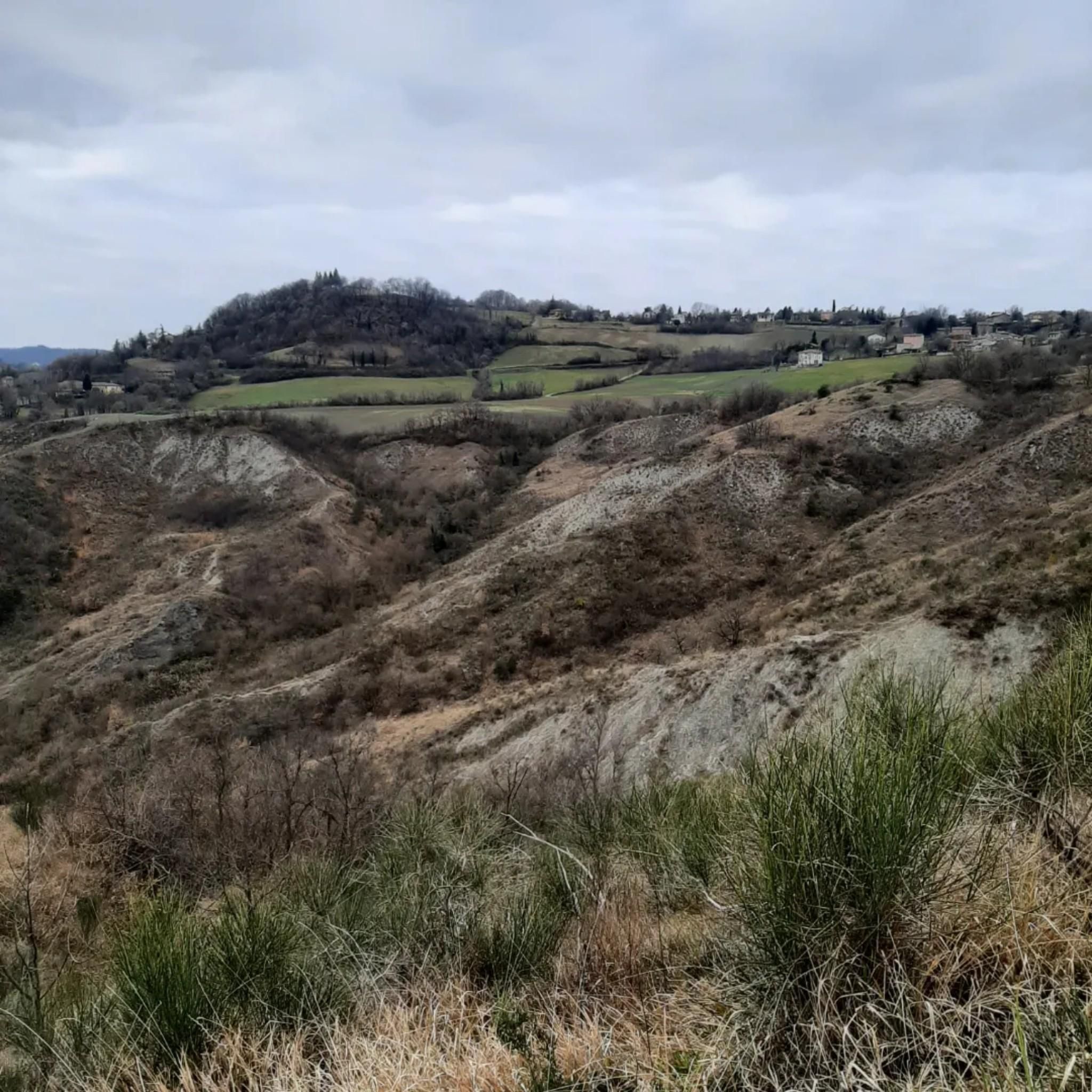
Embark on the Path of Choice Trail, a moderate hike that takes you through diverse landscapes and historical sites. This 8.0-mile (12.9 km) loop features an elevation gain of 1679 feet (512 metres) and typically takes around 4 hours and 6 minutes to complete. You will discover ancient forests, chestnut groves, and unique 'calanchi' formations as you make your way between the historic castles of Rossena and Canossa, each perched on ancient volcanic rock offering panoramic views.
When planning your visit, be aware that the trail includes unpaved and natural surfaces, so you might encounter slippery mud, especially on downhill sections. The route combines mountain hiking paths, roads, and footpaths, traversing through groves and meadows. Make sure you wear appropriate footwear and are prepared for varied terrain to ensure a comfortable and safe experience.
This trail is nestled within the Riserva Naturale Rupe di Campotrera, providing a rich blend of nature and history. The castles themselves are a highlight; Rossena Castle offers extraordinary vistas of the plain and the Tuscan-Emilian Apennine ridge. Canossa Castle stands amidst suggestive gullies, giving the surrounding landscape an almost lunar appearance, making it a truly unique destination in the region.
4.5
(56)
305
hikers
4.59km
01:33
200m
190m
Embark on the Pietra di Bismantova circular route, a challenging hike that winds around the base of the iconic limestone tower. This difficult 2.9-mile (4.6 km) trail involves a significant 648 feet (198 metres) of elevation gain, typically taking about 1 hour and 32 minutes to complete. You'll experience a mix of shaded forest paths and open sections as you circle the massive rock formation. The route eventually climbs to a summit plateau, rewarding your effort with expansive views across the Tuscan-Emilian Apennine range.
To begin your hike, head to the Eremo San Benedetto, which serves as the starting point for the CAI 697 trail. Parking is available at Piazzale Dante, conveniently located at the base of the Pietra di Bismantova. After your challenging ascent, you can find refreshments at the Foresteria San Benedetto nearby. Plan your visit to allow ample time to enjoy the surroundings and the views from the plateau.
This trail offers a unique connection to literary history, as the Pietra di Bismantova is believed to have inspired Dante Alighieri's vision of Purgatory in his Divine Comedy. As you hike, you'll pass the 17th-century Benedictine hermitage, home to preserved 15th-century frescoes. The route also takes you past Campo Pianelli, an ancient archaeological site with evidence of prehistoric and Etruscan civilizations. The entire area is part of the protected Parco Nazionale dell'Appennino Tosco-Emiliano.
Get access to more routes and recommendations from other explorers.
Sign up for free
Already have an account?
Our route recommendations are based on thousands of hikes, rides, and runs completed by other people on komoot.
Start today with a free account
Your next adventure awaits.
Login or Signup
Popular around Reggio nell'Emilia
Other adventures in Reggio nell'Emilia


Tips from the Community

Santuario della Madonna della Pietra di Bismantova, also known as Eremo di Bismantova or Sanctuary of the Nativity of the Blessed Virgin Mary, is a striking place of Marian worship nestled directly at the foot of the southern rock face of Pietra di Bismantova, in the municipality of Castelnovo ne' Monti (RE). Located at an altitude of about 947 meters, it represents the focal point of the spirituality of the Reggiano Apennines and is set within the splendid scenery of the Tuscan-Emilian Apennines National Park.
0
0
The view towards the north from Ca' del Vento (on the first hills of Reggio Emilia, at about 350 m above sea level) offers a spectacular panorama of the Po Valley and the skyline of Reggio Emilia. From the height you can admire: Urban skyline: The profile of the city of Reggio Emilia stands out clearly. Iconic architectures: With clear skies, it is possible to distinguish the three bridges designed by architect Santiago Calatrava along the highway.
0
0
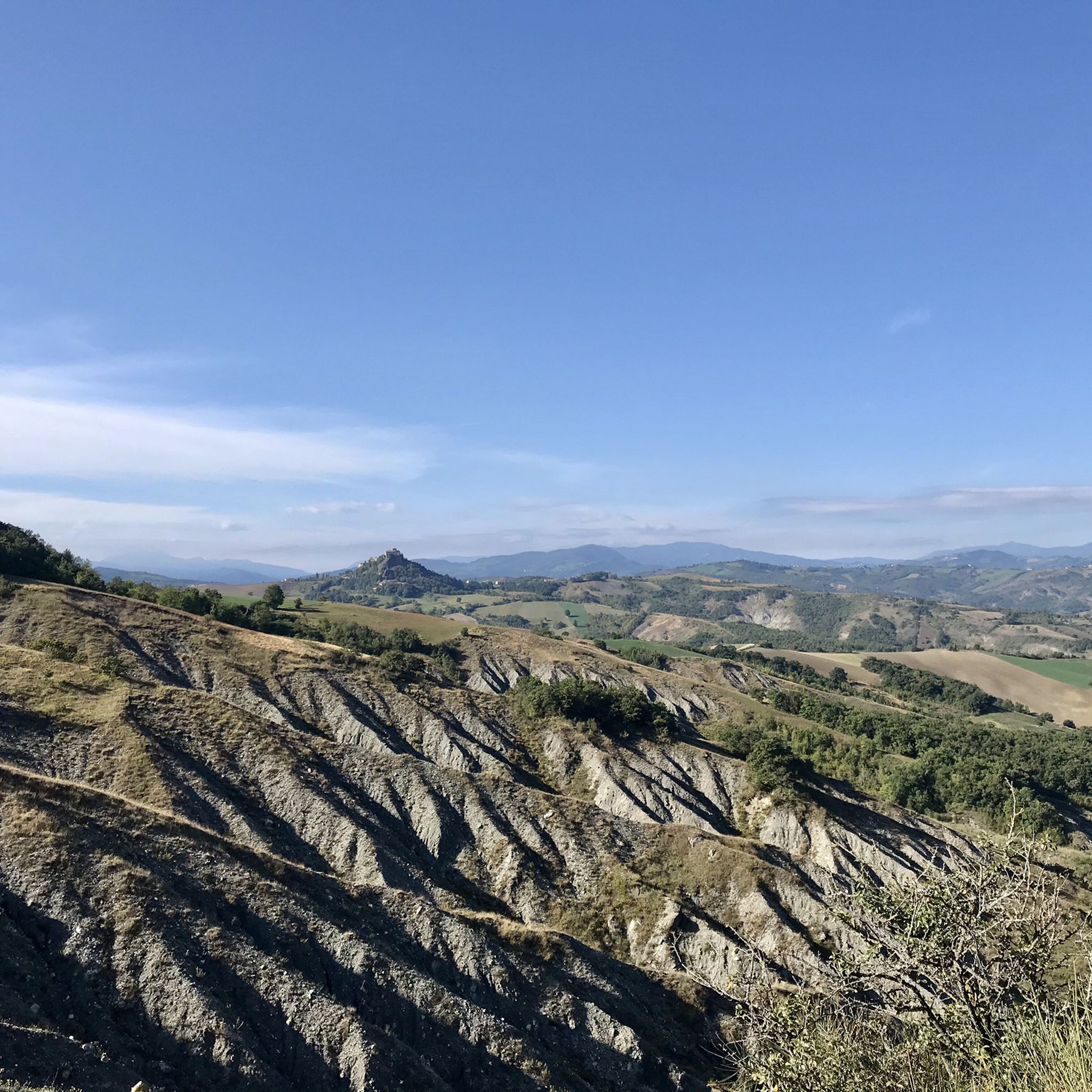
The "view of Canossa" offers one of the most evocative panoramas of the Reggiano Apennines. The famous castle stands on the badlands, and the gaze sweeps from its ruins to the surrounding hills, the nearby fortresses of Rossena and Rossenella, and the Apennine mountain range.
1
0

The renovated castle is an excellent panoramic viewpoint, visitable by appointment, it has a large free park with benches. A little below there is a fountain and on the road there is a bar.
0
0

Very helpful guys, excellent food, reasonable prices. Recommended!
0
0
paid parking lot, but many routes start from there and it is close to 2 refreshment points and the Eremo Madonna della Pietra
0
0

Paid parking is available in Piazza Dante (easypark available) and free parking is available along the road leading to the square.
0
0

A beautiful staircase that will give you one last breather at the end of the tour before a beer at the refuge...
0
0
Frequently Asked Questions
How many hiking trails are available in Reggio nell'Emilia?
Reggio nell'Emilia offers a wide variety of hiking experiences, with over 1500 trails recorded. These range from easy walks to more challenging mountain ascents, catering to all skill levels.
Are there easy hiking trails suitable for beginners or families?
Yes, the region has numerous easy trails perfect for beginners or families. For example, the Bianello Park Trail is an easy 3.8-mile path with gentle gradients through parkland. Another option is the Butterfly Trail through LIPU Bianello Oasis, which is a nature trail with interesting features.
Can I find circular hiking routes in the region?
Yes, circular routes are popular in Reggio nell'Emilia. The From Castelnovo ne' Monti to Pietra di Bismantova – loop tour is a great example, leading to the iconic rock massif. Another option is the Pietra di Bismantova circular route (via CAI 697), offering a different perspective of this landmark.
What are some unique natural landmarks to see while hiking?
The region is rich in unique natural landmarks. The majestic Pietra di Bismantova rock massif is a must-see. You can also explore the fascinating "Calanchi" geological formations, particularly between the historic Rossena and Canossa castles. The Vulcanetti di Fango (Mud Volcanoes) are another interesting feature found along panoramic routes like the Monte del Gesso - Monte Vangelo Trail.
Are there any trails that offer panoramic viewpoints?
Absolutely. The Reggiano Apennines are known for their panoramic ridges. Hikes to the summit of Monte Cusna, the highest peak, offer spectacular views stretching from the Tyrrhenian Sea to the Po Valley. The Celestial Trail also winds through beech forests with panoramic vistas.
What is the best time of year to go hiking in Reggio nell'Emilia?
The diverse landscape of Reggio nell'Emilia makes it suitable for hiking across multiple seasons. Spring and autumn offer pleasant temperatures and vibrant scenery, ideal for most trails. Summer is excellent for higher-altitude routes in the Apennines, while some lower-elevation paths along rivers may be enjoyable in milder winter conditions.
Are there any historical sites or castles accessible via hiking trails?
Yes, several hiking routes allow you to explore historical sites. Trails between the historic Rossena and Canossa castles offer a chance to see ancient ruins and enjoy scenic views. The Via Matildica del Volto Santo is also a historic pilgrimage route that traverses Reggio Emilia, blending spiritual and cultural exploration.
What makes the Tuscan-Emilian Apennine National Park special for hikers?
The Tuscan-Emilian Apennine National Park is a UNESCO MAB Reserve, offering a protected environment with wild forests, rocky crests, and high-altitude prairies. It's a climatic frontier between European and Mediterranean landscapes, providing diverse ecosystems and breathtaking natural beauty for hikers. The Prati di Sara, vast highland meadows at the foot of Mount Cusna, are a highlight within the park.
Are there trails that pass by lakes or rivers?
Yes, the region features beautiful trails around lakes and along rivers. Lake Calamone, located at 1,400 meters, has a charming route encircling it, surrounded by woods and meadows. The Crostolo River Loop via Oasi del Gruccione is an easy, flat path following the Crostolo River, suitable for a relaxed walk.
What do other hikers say about their experience in Reggio nell'Emilia?
The hiking trails in Reggio nell'Emilia are highly rated by the komoot community, with an average score of 4.4 stars from over 5500 reviews. Hikers often praise the varied terrain, from gentle river walks to challenging mountain ascents, and the stunning natural beauty of the Reggiano Apennines and unique rock formations like Pietra di Bismantova.
Are there any challenging mountain hikes in the area?
For those seeking a challenge, the Reggiano Apennines offer demanding routes. The Monte Cusna from Rifugio Monte Orsaro – loop hike is a difficult 6.7-mile trail ascending towards Monte Cusna, the highest peak in the Reggio Emilia Apennines, providing a significant elevation gain and rewarding views.
Can I find information about mountain passes in the region?
Yes, the Reggio nell'Emilia Apennines feature several mountain passes that are often part of hiking routes. Notable passes include Lama Lite Pass, Pradarena Pass, and Scalucchia Pass. These areas often provide access to higher-altitude trails and scenic viewpoints.
Most popular routes in Reggio nell'Emilia
Most popular attractions in Reggio nell'Emilia

Get inspired with the komoot mobile app


Didn’t find what you were looking for?
Check out more Hikes throughout Reggio nell'Emilia below and find the perfect route in your destination.
Explore more
Browse the best Hikes in other regions.
