The best running trails around Tione Degli Abruzzi
4.3
(17)
668
runners
46
runs
Jogging around Tione Degli Abruzzi offers routes through a landscape characterized by mountainous terrain and high plateaus. The region features significant elevations, including Monte Sirente, alongside more accessible valley paths. Runners can expect varied topography, from challenging ascents to more gradual trails across open areas. This diverse environment provides a range of running experiences for different fitness levels.
Best jogging routes around Tione Degli Abruzzi
- The most popular jogging route is Altopiano delle Rocche Trail, a 7.6 miles (12.2…
Last updated: July 5, 2026
5.0
(2)
39
runners
12.2km
01:16
60m
60m
Embark on the Altopiano delle Rocche Trail, a moderate jogging route that stretches for 7.6 miles (12.2 km) across a scenic high plateau. You will gain 203 feet (62 metres)…
14
runners
10.3km
03:15
1,140m
1,140m
Embark on a challenging jogging route with the Ascent to Monte Sirente from the Chalet, a difficult 6.4-mile (10.3 km) journey. You will climb a significant 3740 feet (1140 metres)…

Sign up for free
16.4km
02:29
810m
810m
This difficult 10.2-mile loop run from Fontecchio explores the historical Pagliare villages and offers panoramic views in Sirente-Velino Reg
14.7km
01:36
300m
300m
This difficult 9.1-mile jogging route on the Way of St. Thomas Stage 10 features a steep 20% gradient and leads to Pagliare di Fontecchio.
37
runners
Moderate run. Good fitness required. Mostly paved surfaces. Suitable for all skill levels.
Get access to more routes and recommendations from other explorers.
Sign up for free
Already have an account?
Our route recommendations are based on thousands of hikes, rides, and runs completed by other people on komoot.
Start today with a free account
Your next adventure awaits.
Login or Signup

Tips from the Community

Going downhill towards the town of Secinaro, it is a dirt road that is sometimes challenging. To be taken after the town of Terranera.
0
0

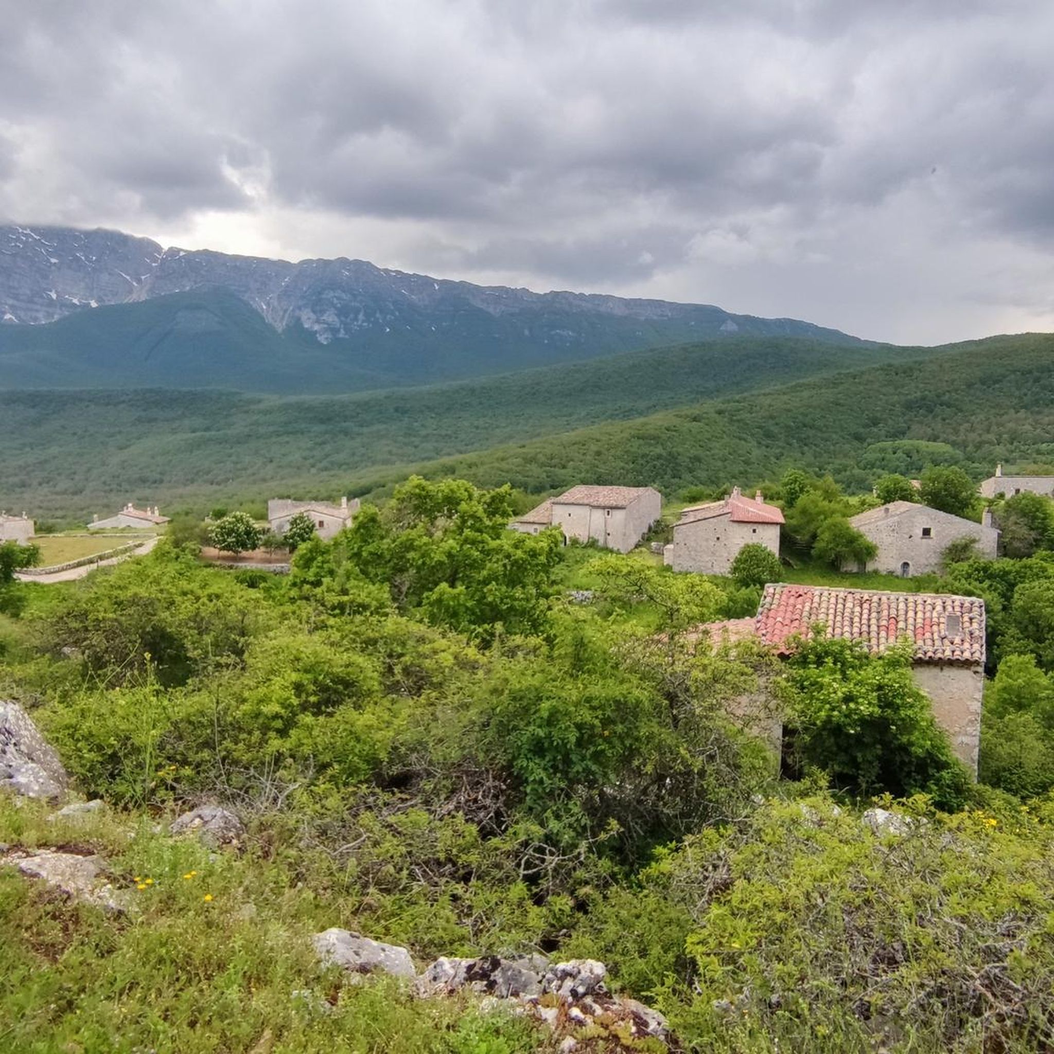
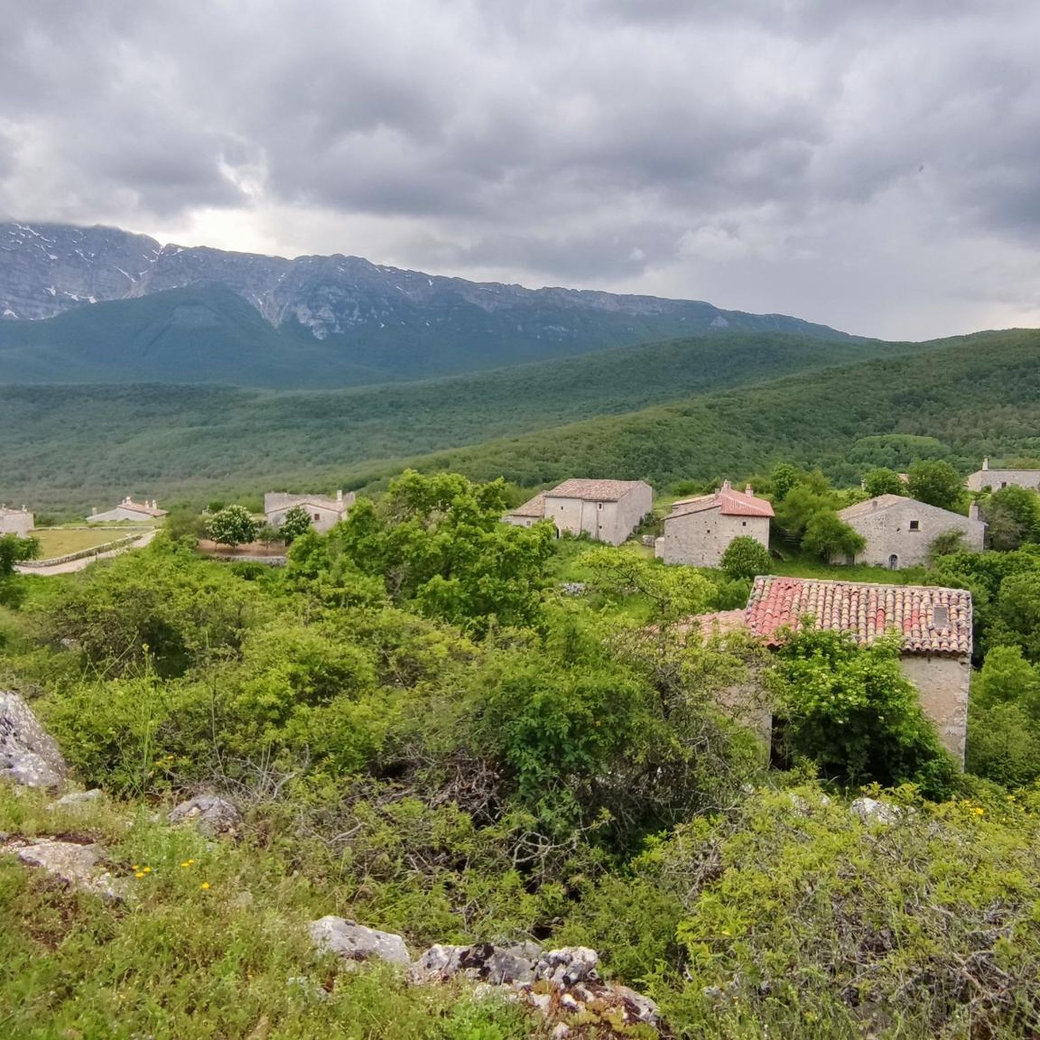
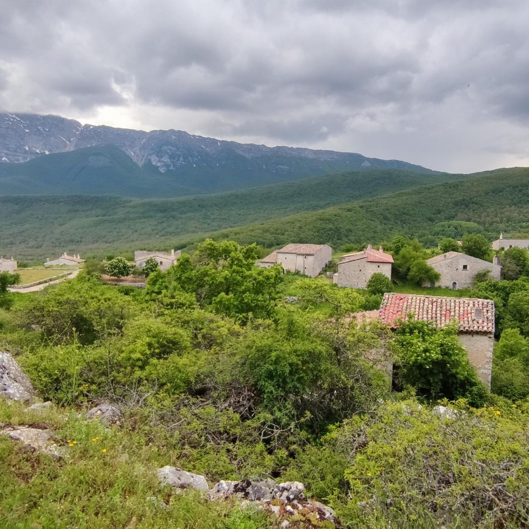
excellent landscape overlooking the Gran Sasso and the Maiella mountains. Possibility of meeting chamois too
0
0

Town in an excellent position for road and dirt bike tours.
0
0

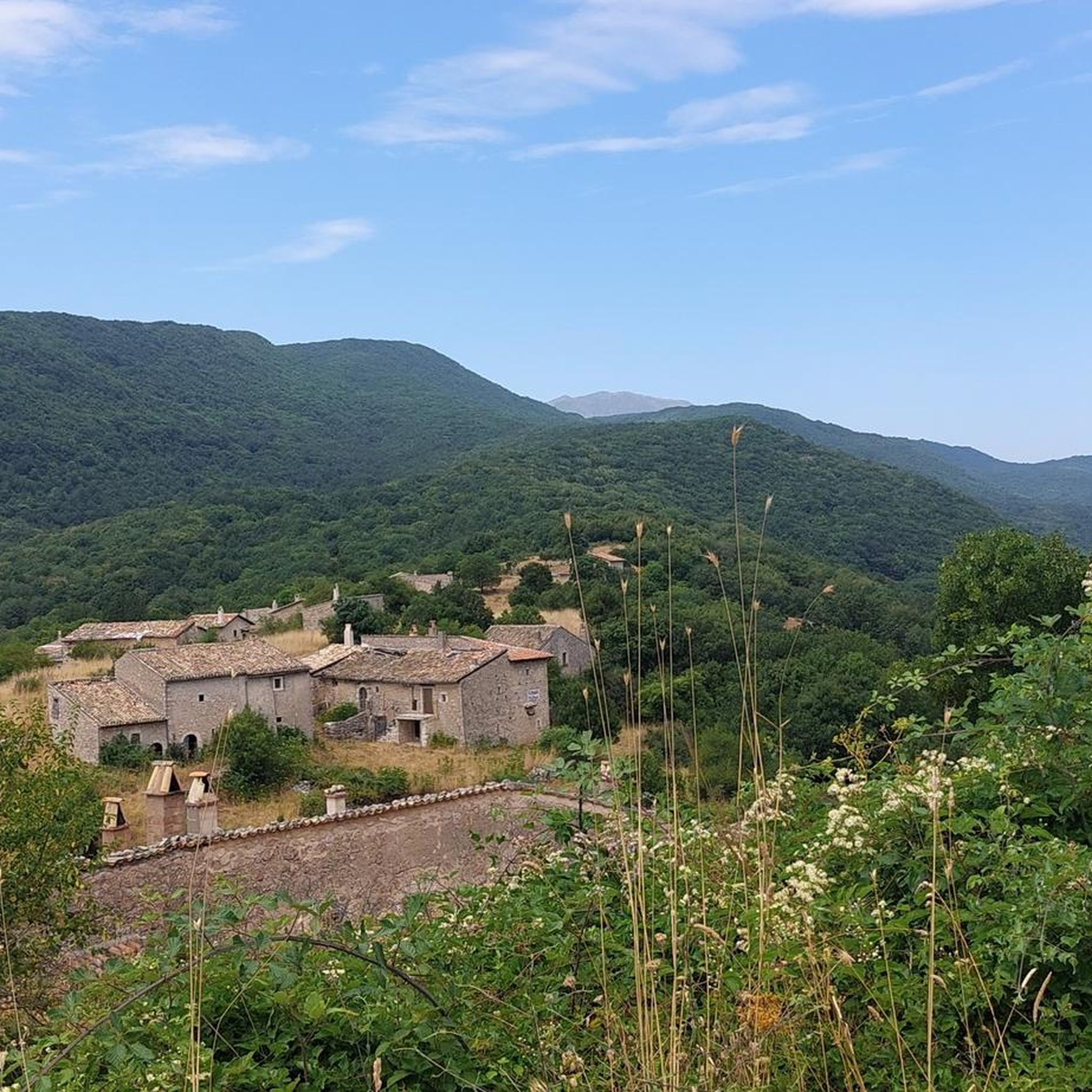
The Terranera Remembrance Park is dedicated to the fallen of the First and Second World Wars and houses a small octagonal stone votive temple. It offers a truly breathtaking panoramic view of the Rocche plateau and the surrounding mountains.
0
0
Beautiful and well-maintained cycle paths
0
0

Far from the frenzy of modernity, immersed in nature, in silence, in slowness
0
0

Rocca di Mezzo is a charming town framed by the Simbruini Mountains and the Sirente-Velino Regional Natural Park. Rocca di Mezzo has so much to offer, both in winter and in summer.
0
0
Rocca di Mezzo is a town in the Sirente-Velino Regional Park, a tourist resort both in summer and winter, thanks to the proximity of the ski resorts of Campo Felice and Ovindoli and the possibilities for hiking, trekking and cycling.
0
0
Frequently Asked Questions
How many running routes are available around Tione Degli Abruzzi?
There are over 40 running routes in the Tione Degli Abruzzi area, offering a diverse range of experiences for runners. These include routes across high plateaus and challenging ascents.
Are there any easy jogging routes for beginners in Tione Degli Abruzzi?
The running routes around Tione Degli Abruzzi are primarily moderate to difficult, reflecting the mountainous terrain. There are no routes specifically classified as easy. However, moderate options like the Altopiano delle Rocche Trail offer less extreme elevation changes.
What are the typical distances of running trails in this region?
Running trails in Tione Degli Abruzzi vary in distance. You'll find routes ranging from around 7.3 km, such as the Rocca di Mezzo town center – Memorial Chapel loop from Rocca di Mezzo, up to longer options like the Abruzzo Way: Pagliare di Tione Loop at 16.4 km.
Are there any loop or circular running trails in Tione Degli Abruzzi?
Yes, there are several circular running trails. A notable option is the Abruzzo Way: Pagliare di Tione Loop, which takes you through the Pagliare di Tione area. Another is the Rocca di Mezzo town center – Memorial Chapel loop from Rocca di Mezzo.
What kind of scenery can I expect on the running routes?
The routes offer diverse scenery, from the open vistas of the Altopiano delle Rocche plateau, as seen on the Altopiano delle Rocche Trail, to the challenging mountainous landscapes leading up to Monte Sirente, featured in the Ascent to Monte Sirente from the Chalet.
Are there any interesting landmarks or points of interest along the running trails?
Yes, several routes pass by or near mountain huts and chalets. For example, the area around Monte Sirente features places like Sirente Chalet and Chalet del Sirente, which can be points of interest during your run.
What do other runners enjoy most about jogging in Tione Degli Abruzzi?
The running trails in Tione Degli Abruzzi are highly rated by the komoot community, with an average score of 4.5 stars from over 15 reviews. Runners often praise the challenging ascents, the stunning views from high plateaus, and the variety of terrain available.
Are there any routes suitable for a more challenging running experience?
Absolutely. The region is known for its challenging terrain. Routes like the Ascent to Monte Sirente from the Chalet involve significant elevation gain, making them ideal for experienced runners seeking a difficult workout.
What is the best time of year for running in Tione Degli Abruzzi?
Given the mountainous nature of Tione Degli Abruzzi, late spring, summer, and early autumn generally offer the most favorable conditions for running, with milder temperatures and less chance of snow at higher elevations. Winter running may be possible on lower trails but requires appropriate gear for cold and potentially icy conditions.
Are there any specific routes that offer panoramic viewpoints?
Many routes in the region offer panoramic views due to the high plateaus and mountainous ascents. The Altopiano delle Rocche Trail, for instance, provides extensive views across the plateau, while routes ascending Monte Sirente offer breathtaking vistas of the surrounding landscape.
Can I find routes that are part of longer, established paths?
Yes, some routes in the area are segments of larger trails. The Way of St. Thomas - Stage 10 is an example of a running route that forms part of a well-known pilgrimage path, offering a unique blend of physical activity and historical context.
Most popular routes around Tione Degli Abruzzi
Most popular attractions around Tione Degli Abruzzi

Get inspired with the komoot mobile app


Explore more
Browse the best Running Trails & Routes in other regions.
