The best walks and hikes around Tione Degli Abruzzi
4.4
(761)
3,930
hikers
120
hikes
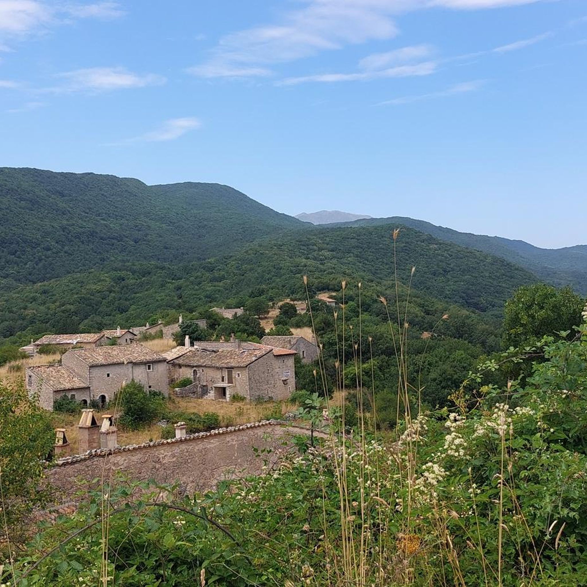
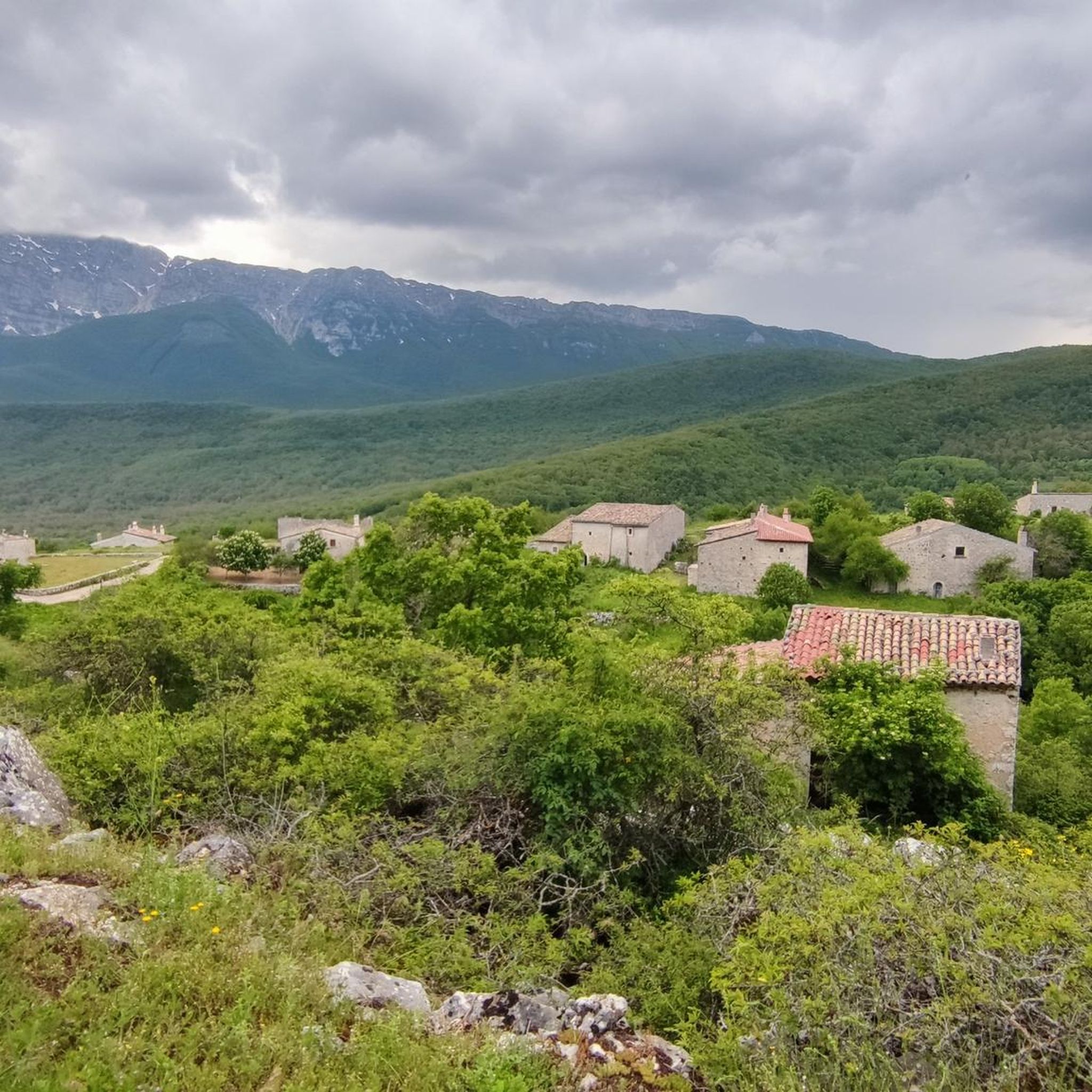
Hiking around Tione Degli Abruzzi offers diverse terrain within the Sirente-Velino Regional Park, characterized by its woods, ancient highland regions, and prominent peaks. The landscape features Monte Sirente, which rises to 2349 meters, and unique ancient limestone dwellings known as Pagliare di Tione. The area provides a mix of natural exploration and cultural discovery through its varied mountain passes and forested paths.
Best hiking trails in Tione Degli Abruzzi
- The most popular hiking route is Monte Sirente Loop, a…
Last updated: July 5, 2026
4.8
(50)
276
hikers
10.3km
06:20
1,140m
1,140m
Embark on the Monte Sirente Loop, a challenging hike that takes you through varied landscapes. You will begin by winding through a peaceful beech forest before the terrain opens up…
5.0
(3)
15
hikers
9.88km
06:20
1,140m
1,140m
This difficult 6.1-mile loop hike in Parco Regionale Sirente-Velino offers dramatic scenery and panoramic views from Monte Sirente Summit.

Sign up for free
4.4
(18)
42
hikers
Moderate hike. Good fitness required. Easily-accessible paths. Suitable for all skill levels.
4.0
(3)
43
hikers
16.7km
07:38
1,200m
1,200m
Hard hike. Very good fitness required. Sure-footedness, sturdy shoes and alpine experience required.
4.8
(5)
25
hikers
7.35km
02:24
230m
230m
Moderate hike. Good fitness required. Mostly accessible paths. Sure-footedness required.
Get access to more routes and recommendations from other explorers.
Sign up for free
Already have an account?
Our route recommendations are based on thousands of hikes, rides, and runs completed by other people on komoot.
Start today with a free account
Your next adventure awaits.
Login or Signup

Tips from the Community

View over all the main Abruzzo peaks
1
0

Beautiful beech forest on the slopes of Mount Sirente.
1
0
Beautiful chalet on the slopes of Mount Sirente, excellent as a starting point for excursions on the mountain of the same name.
1
0

Must stop place to refill water (on the other side of the road compared to the chalet) or to just eat something or have a nice end-of-the-day beer.
0
0

Refurbished after the fire that completely destroyed it.
0
0
I came here to climb with sealskins along the Majori gully, I had left it after it had been destroyed by fire, today it was nice to find it active again.
0
0

excellent landscape overlooking the Gran Sasso and the Maiella mountains. Possibility of meeting chamois too
0
0

2024 season opening: March 30th
0
0
Frequently Asked Questions
How many hiking trails are available in Tione Degli Abruzzi?
There are over 100 hiking trails in Tione Degli Abruzzi, offering a wide range of options for all skill levels. This includes 25 easy routes, 58 moderate routes, and 25 difficult routes.
What is the best time of year to go hiking in Tione Degli Abruzzi?
The Sirente-Velino Regional Park, where Tione Degli Abruzzi is located, is excellent for hiking from spring through autumn. Summer offers warm weather for higher altitudes, while spring and autumn provide pleasant temperatures and vibrant landscapes, especially through the beech forests.
Are there hiking trails suitable for beginners or families in Tione Degli Abruzzi?
Yes, Tione Degli Abruzzi offers 25 easy and 58 moderate routes perfect for beginners or families. These trails often wind through picturesque beech forests and offer gentler elevation changes. A good example is the Mount Sirente Beech Forest – Sirente Chalet loop from Fonte all'Acqua, which is a moderate 4.6-mile (7.4 km) path.
What kind of challenging hikes can I find in Tione Degli Abruzzi?
For experienced trekkers, Tione Degli Abruzzi offers 25 difficult routes, many of which involve significant elevation gains and lead to panoramic views from peaks like Monte Sirente. Consider the Monte Sirente Loop via Canale Majori, a challenging 6.1-mile (9.9 km) route with over 1100 meters of ascent.
Are there any circular hiking routes in the area?
Yes, many trails in Tione Degli Abruzzi are designed as loops, allowing you to start and end at the same point. Examples include the Church of St. Mary of the Assumption – San Pellegrino Oratory loop from Caporciano, a moderate 4.5-mile (7.3 km) trail, and the more challenging Picnic Area With Mountain View – Monte Sirente Summit loop from Fonte all'Acqua.
What natural attractions or landmarks can I see while hiking in Tione Degli Abruzzi?
The region is rich in natural and cultural landmarks. You can explore the unique ancient limestone dwellings known as Pagliare di Tione, which offer a glimpse into rural civilization. Hikers can also reach the Monte Sirente Summit for breathtaking panoramic views, or visit the nearby Gole di Celano with its towering stone walls.
Are there any mountain huts or refuges along the trails?
Yes, there are several mountain huts and refuges in the area that can serve as rest stops or destinations. Notable ones include Rifugio La Vecchia (Mandra Murata Pass, Mount Sirente) and Sirente Chalet, both offering scenic spots amidst the beech trees.
Are the hiking trails in Tione Degli Abruzzi dog-friendly?
Many trails within the Sirente-Velino Regional Park are dog-friendly, allowing you to enjoy the natural beauty with your canine companion. However, it's always advisable to keep dogs on a leash, especially in protected areas or near livestock, and to check specific trail regulations before you go.
Where can I find parking for hiking trails in Tione Degli Abruzzi?
Parking is generally available at or near many trailheads, particularly in villages or designated starting points for popular routes. For routes like the Mount Sirente Beech Forest loop, you can often find parking near Fonte all'Acqua.
Is public transport available to reach hiking trailheads?
While public transport options might be limited directly to remote trailheads, local bus services connect Tione Degli Abruzzi with surrounding towns. From these towns, you may need to walk or arrange for local transport to reach specific starting points. Planning ahead is recommended.
What do other hikers enjoy most about the trails in Tione Degli Abruzzi?
The trails in Tione Degli Abruzzi are highly rated by the komoot community, with an average score of 4.5 stars from over 600 reviews. Hikers often praise the region's tranquility, the diverse terrain ranging from ancient woodlands to high mountain passes, and the stunning panoramic views from peaks like Monte Sirente.
Can I find trails that lead to panoramic viewpoints?
Absolutely. The region is known for its breathtaking views. Many trails, especially those ascending Monte Sirente, offer spectacular panoramic vistas of the surrounding Sirente-Velino Regional Park and beyond. The Monte Sirente Summit is a prime destination for expansive views.
Most popular routes around Tione Degli Abruzzi
Most popular attractions around Tione Degli Abruzzi

Get inspired with the komoot mobile app


Explore more
Browse the best Hikes in other regions.
