The best cycling routes around Pennapiedimonte
4.6
(58)
985
riders
86
rides
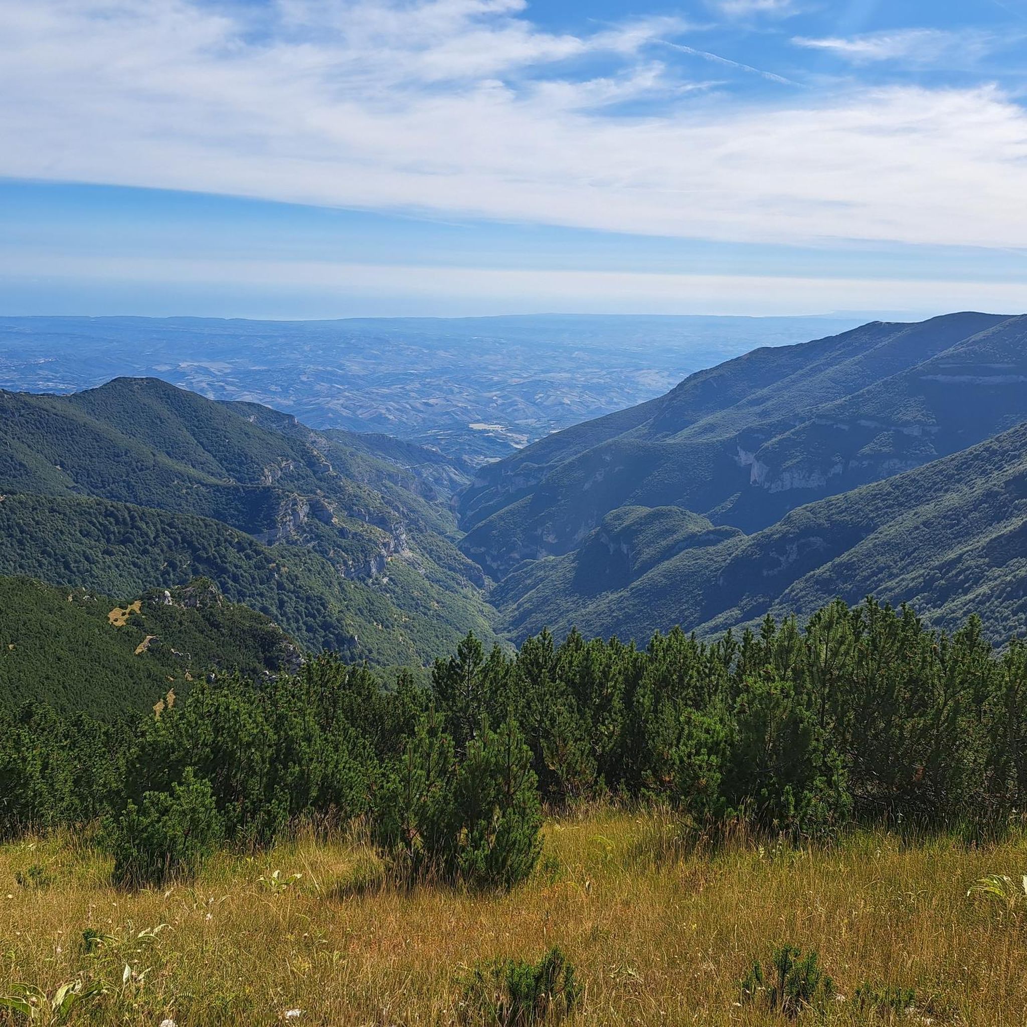
Touring cycling routes around Pennapiedimonte are situated within Italy's Abruzzo region, offering diverse terrain within the Majella National Park. The area features dramatic elevation changes, from the Avello River valley to mountainous slopes, with routes winding through valleys, canyons, and past rock formations. This landscape provides a variety of challenges, from demanding mountain climbs to scenic rides through natural gorges.
Best touring cycling routes around Pennapiedimonte
- The most popular touring cycling route is Cima Blockhaus from Cima Mammarosa – Parco…
Last updated: August 15, 2026
9
riders
12.9km
01:04
420m
420m
Moderate bike ride. Good fitness required. Mostly paved surfaces. Suitable for all skill levels.
25
riders
35.0km
03:07
1,370m
1,360m
Hard bike ride. Very good fitness required. Mostly paved surfaces. Suitable for all skill levels.

Sign up for free
4.0
(1)
20
riders
65.4km
04:26
800m
800m
Hard bike ride. Very good fitness required. Mostly paved surfaces. Suitable for all skill levels.
20
riders
71.6km
04:42
1,020m
1,020m
Hard bike ride. Very good fitness required. Mostly paved surfaces. Suitable for all skill levels.
46
riders
84.9km
06:48
2,490m
2,490m
Hard bike ride. Very good fitness required. Mostly paved surfaces. Suitable for all skill levels.
Get access to more routes and recommendations from other explorers.
Sign up for free
Already have an account?
Our route recommendations are based on thousands of hikes, rides, and runs completed by other people on komoot.
Start today with a free account
Your next adventure awaits.
Login or Signup
Tips from the Community

Riserva Naturale Punta dell'Acquabella: a wild coastal paradise 🌿🌊 One of the absolute ecological pearls along this route is the Riserva Naturale Punta dell'Acquabella. While many coastal towns are busy and touristy, here you'll discover a hidden oasis where rugged cliffs, fragrant pine forests, and an azure sea come together perfectly. Why you should definitely stop here: 💧 Crystal clear water The name Acquabella – “beautiful water” – says it all. The sheltered bay boasts remarkably clear seawater that invites a refreshing dip. 🎨 Art along the route The reserve lies right next to the Galleria Aurelia. Just before you dive into the tunnel, you'll cycle past impressive murals by street artist Millo, a tribute to the local war resistance. 🏚️ An abandoned fishing village in the green Hidden behind the pebble beach lie the ruins of Borgo dell’Acquabella. This small fishing hamlet was abandoned in the '70s and has since been slowly reclaimed by nature. 🚴 A place made for cyclists By car, this hidden bay is barely accessible due to the narrow and steep access roads. By bike, you reach the reserve via the Via Verde and roll almost effortlessly to this unique coastal spot. A short stop that feels like a discovery: wild nature, sea views, and a piece of hidden history in one place.
5
0
Trabocco Mucchiola – Picnic with sea view Trabocco Mucchiola is a lovely place to take a break during your tour along the Via Verde dei Trabocchi. Next to the cycle path, there is a shady picnic area with tables, ideal for resting, eating something, or simply enjoying the view of the Adriatic Sea. The charming wooden trabocco stands on the rocky Punta Mucchiola and is one of the first fishing platforms you will encounter south of Ortona. Thanks to its splendid location, this is also a beautiful stop along the route to capture a beautiful memory.
4
0
Via Verde dei Trabocchi – Enjoyment along the Adriatic Sea Get on your bike and discover one of Italy's most beautiful coastal routes. The Via Verde dei Trabocchi follows a former railway line and is completely flat, car-free, and perfectly asphalted. Ideal for a relaxing tour, whether you cycle sportily or just want to enjoy the view. Along the way, you'll cycle past the iconic trabocchi: centuries-old wooden fishing platforms that rise like giant works of art above the Adriatic Sea. Today, several trabocchi are atmospheric seafood restaurants where you can stop for a delicious lunch or dinner with fresh fish and a beautiful sea view.
5
0
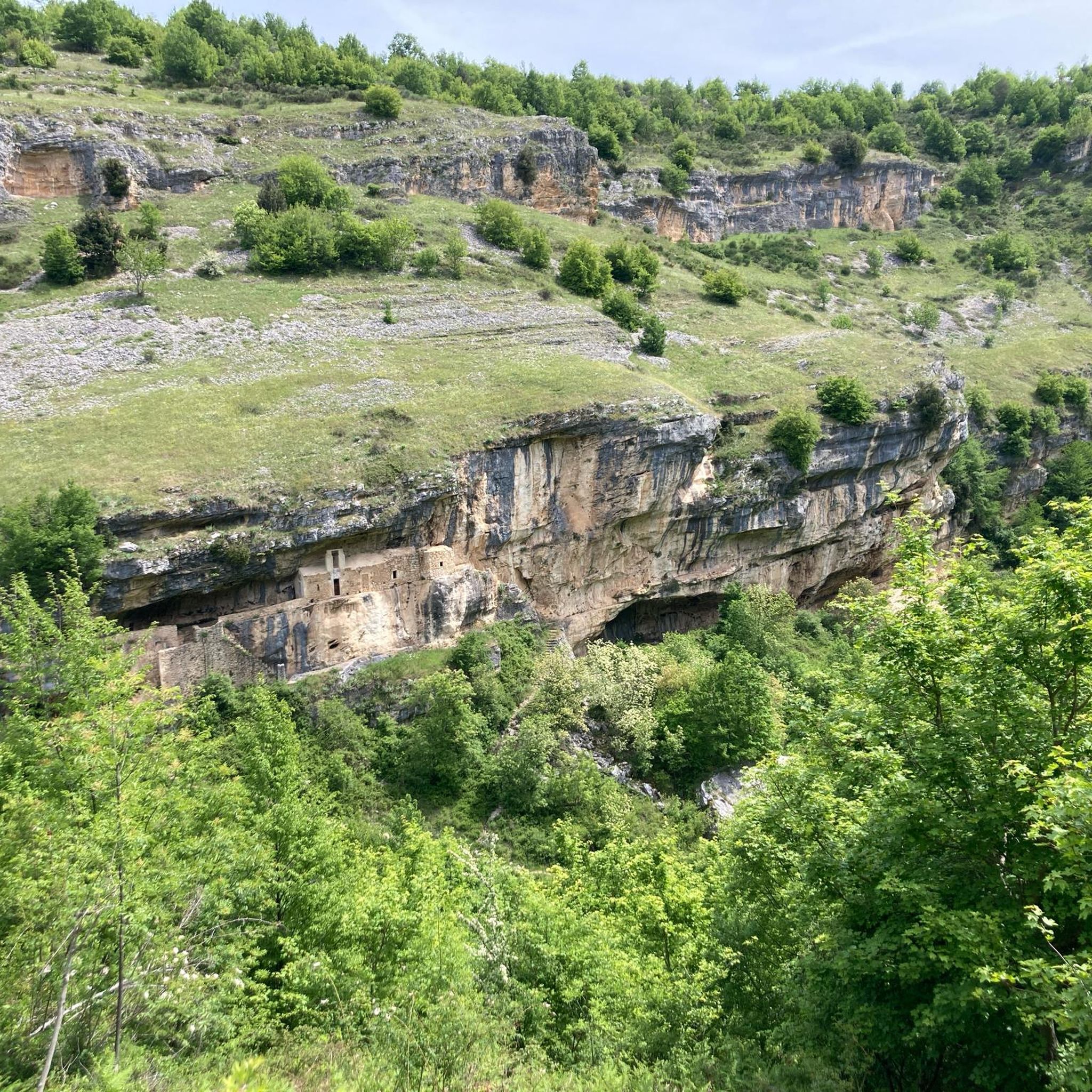
Grotta-Sacrario di Bocca di Valle – Stillness and history at the foot of the Majella ⛰️ Hidden among the forests at the foot of the Majella mountains lies the impressive Sacrario di Bocca di Valle. This special war memorial is carved into the limestone of the mountain and pays tribute to the Abruzzese soldiers who lost their lives during World War I. The artificial cave with its monumental arches exudes a special tranquility. Inside, you will find the tomb of Andrea Bafile, a national war hero, and beautiful majolica panels by the famous artists Basilio and Tommaso Cascella, made up of hundreds of hand-painted ceramic tiles. Besides being a place full of history, it is also a beautiful starting point for walks through the cool beech forest, including the route to the spectacular Cascate di San Giovanni. A hidden gem where nature, art, and remembrance come together.
2
0
Spiaggia di Punta dell'Acquabella – Hidden nature gem Near the cycle tunnel in Ortona lies Spiaggia di Punta dell'Acquabella, one of the most beautiful and pristine beaches on the Costa dei Trabocchi. This protected nature reserve is surrounded by high cliffs and a fragrant pine forest and is known for its crystal-clear, turquoise water – ideal for a refreshing dip during a hot bike ride. Behind the beach lie the silent ruins of the former fishing village Borgo dell'Acquabella, which has been abandoned since the 1970s. The turn-off to the beach is also located near the impressive murals by Millo, making both highlights perfectly combinable. Please note that this is a natural pebble beach without any facilities. Bring plenty of drinking water, and water shoes are definitely recommended if you want to enter the clear water.
5
0
Street Art by Millo: Tribute to the Resistance 🎨🚴♀️Just before the cycle tunnel at the Punta dell'Acquabella nature reserve, you'll cycle past the impressive diptych "Dalle Radici al Fiore" by the famous Italian street artist Millo. This gigantic black-and-white artwork with bright red poppies tells a special historical story.Why you should stop here:Beautiful Street Art: Admire Millo's unique, recognizable style, directly on the retaining wall along the cycle path.Historical Story: The diptych honors the resistance during the Battle of Ortona (1943) in World War II.Heroic Women: The mural specifically draws attention to the 'staffette': brave local women who used bicycles to deliver coded messages between the lines.Symbolism: The red poppies (papaveri) symbolize the Italian partisans and regained freedom.Practical cycling tip:Location: You can't miss this artwork. It's located directly on the Via Verde (heading south from Ortona), just before entering the illuminated cycle tunnel. Pull over for a unique photo!
5
0
The Lighthouse of Ortona (La Ritorna) The iconic black-and-white striped lighthouse La Ritorna stands right below the impressive walls of Castello Aragonese and is one of Ortona's most beautiful viewpoints. According to a romantic legend, young women used to wait here full of hope for the safe return of their loved ones who had set out onto the Adriatic Sea. At the foot of the lighthouse lies the small beach Spiaggia della Ritorna, where that legend still lives on. The current 24-meter-high lighthouse dates from 1937 and even survived the destruction of World War II. From the viewpoint, you can enjoy a beautiful panorama of the harbour, the rugged coast, and the beginning of the famous Costa dei Trabocchi. An ideal place to stop for a moment, enjoy the view, and take a beautiful photo. The black-and-white tower stands out beautifully against the azure water and is one of the most photogenic spots along the coast.
5
0
Imagine: the Adriatic Sea shimmering beside you, a fresh sea breeze on your face, and an endless cycle path winding along the coast. The Via Verde dei Trabocchi is one of those routes where you don't really want the ride to end. This cycle path, over 50 kilometers long and largely flat, follows a former railway line and takes you along one of the most beautiful coastal stretches of Abruzzo. Along the way, you'll pass the iconic trabocchi: impressive wooden fishing platforms that seem to float on the sea on stilts. With their long arms and nets, they stand out against the horizon like gigantic wooden works of art. Thanks to the flat course, this route is suitable for almost everyone, from recreational cyclists to avid mileage eaters. Along the way, charming beaches, atmospheric villages, and countless spots beckon where you can stop for an espresso, an ice cream, or a fresh fish lunch with a sea view. The Via Verde dei Trabocchi is not just a cycle path, but an experience that effortlessly combines nature, culture, and relaxation. A route you must cycle at least once.
5
0
Frequently Asked Questions
What kind of terrain can I expect on touring cycling routes around Pennapiedimonte?
The touring cycling routes in Pennapiedimonte are primarily situated within the Majella National Park, offering a diverse and often challenging terrain. You'll encounter dramatic elevation changes, from the Avello River valley to mountainous slopes. Routes wind through valleys, canyons, and past unique rock formations, with many featuring significant climbs. The region is known for its rugged beauty, with some routes leading to high-altitude environments.
Are there any easy touring cycling routes suitable for beginners in Pennapiedimonte?
While many routes in Pennapiedimonte are rated as difficult due to significant elevation gains, there are some moderate options available. For instance, the route Cima Blockhaus from Cima Mammarosa – Parco Nazionale della Maiella is a moderate 12.9 km trail that offers views within the Majella National Park, providing a less strenuous option compared to the longer, more challenging climbs.
What natural landmarks or viewpoints can I see along the touring cycling routes?
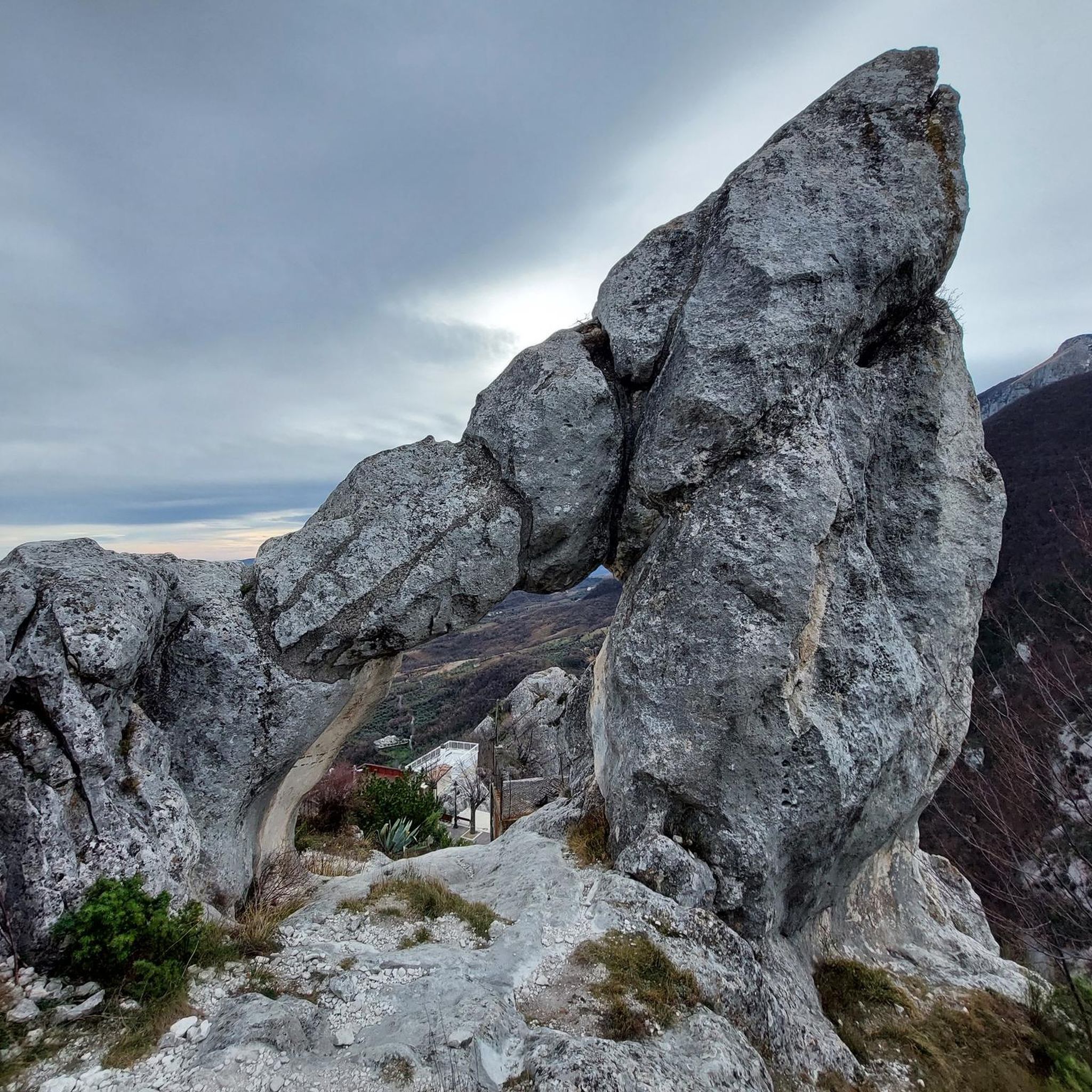
Pennapiedimonte is rich in natural beauty. Along the routes, you can expect to see features of the Majella National Park, including deep gorges like the Gorges of Fara San Martino and the Orfento Valley. The region also boasts impressive viewpoints such as the Balzolo Viewpoint, known as the 'balcony of Abruzzo,' offering sweeping vistas that can extend to the Adriatic Sea on clear days. Keep an eye out for unique rock formations like 'Cimirocco' near Balzolo.
Are there any circular touring cycling routes in the Pennapiedimonte area?
Yes, there are several circular touring cycling routes available. An example of a challenging loop is the Bocca di Valle Memorial – Bruno Pomilio Mountain Hut loop from Guardiagrele, which is a difficult 75.4 km path featuring significant elevation gain and leading towards the Bruno Pomilio Mountain Hut. Another option is the Statue of the Wolf of Pretoro – Passo Lanciano loop from Guardiagrele, a 50.9 km trail through mountainous terrain.
What is the best time of year for touring cycling in Pennapiedimonte?
The best time for touring cycling in Pennapiedimonte, especially for routes within the Majella National Park, is typically from late spring through early autumn. During these months, the weather is generally more stable and pleasant, and the higher mountain passes are clear of snow. Summer offers warmer temperatures, while spring and autumn provide cooler rides and vibrant natural scenery.
What are the options for parking when accessing touring cycling routes in Pennapiedimonte?
Pennapiedimonte, being a gateway to the Majella National Park, offers various parking options, particularly in and around the village itself. Many routes start from or pass through areas where parking is available, though specific details for each trailhead may vary. It's advisable to check local signage upon arrival, especially in the historic center where access might be restricted.
Are there any specific attractions or historical sites I can visit near the cycling routes?
Beyond the natural landscapes, Pennapiedimonte and its surroundings offer cultural and historical attractions. The village itself is notable for its houses carved into the rock and winding alleys. You can visit churches like San Rocco or San Martino, or explore archaeological sites such as the Roman Tower, which houses a museum. The unique cave houses, recognized as a national monument, are also worth seeing.
How many touring cycling routes are available in the Pennapiedimonte area?
There are over 80 documented touring cycling routes around Pennapiedimonte. These routes offer a wide range of distances and ascents, catering to various skill levels, from moderate trails to very challenging mountain climbs within the Majella National Park.
What do other touring cyclists say about their experience in Pennapiedimonte?
The touring cycling routes around Pennapiedimonte are highly rated by the komoot community, with an average score of 4.3 stars from more than 60 reviews. Cyclists often praise the varied terrain, the stunning natural beauty of the Majella National Park, and the challenging climbs that offer rewarding views. Over 1000 touring cyclists have used komoot to explore this region, highlighting its popularity.
Are there any routes that take me towards the coast or other regions?
While Pennapiedimonte is nestled in the mountains, some longer routes can extend towards other regions or offer distant views of the Adriatic Sea. For example, the Guardiagrele – Aragonese Castle of Ortona loop from Guardiagrele is a difficult 73 km route that takes you towards the coast, allowing you to experience both mountain and coastal landscapes, including the historic Aragonese Castle of Ortona.
Can I find places to eat or stay near the touring cycling routes in Pennapiedimonte?
Pennapiedimonte and the surrounding towns offer various amenities for cyclists. The village itself has local establishments where you can find refreshments and meals. For accommodation, you'll find options ranging from guesthouses in the village to agriturismos in the wider region, providing a comfortable base for exploring the cycling routes and the Majella National Park.
Most popular attractions around Pennapiedimonte

Get inspired with the komoot mobile app


Explore more
Browse the best Cycling routes in other regions.
