The best road cycling routes around Pennapiedimonte
4.5
(84)
2,588
riders
67
rides
Road cycling routes around Pennapiedimonte are characterized by the mountainous terrain of the Majella National Park, featuring significant elevation changes and challenging climbs. The region offers a landscape of rugged peaks, deep valleys, and forested slopes, providing a demanding environment for road cyclists. Routes often ascend towards high-altitude passes and mountain plateaus, with some extending towards the Adriatic coast. This area is known for its sustained ascents and panoramic views across the Abruzzo landscape.
Best road cycling routes around Pennapiedimonte
…Last updated: July 6, 2026
4.8
(9)
160
riders
61.2km
04:00
1,940m
1,940m
Conquer the legendary Blockhaus da Bocca di Valle via Passo Lanciano, a difficult 38.0 miles (61.2 km) road cycling route with 6363 feet (19
5.0
(5)
127
riders
94.8km
06:00
2,680m
2,680m
Hard road ride. Very good fitness required. Mostly well-paved surfaces and easy to ride.

Sign up for free
5.0
(1)
114
riders
75.4km
03:28
910m
900m
Hard road ride. Very good fitness required. Mostly well-paved surfaces and easy to ride.
20
riders
67.5km
03:48
1,490m
1,480m
Hard road ride. Very good fitness required. Mostly well-paved surfaces and easy to ride.
3.0
(1)
21
riders
58.6km
03:10
1,170m
1,170m
Hard road ride. Very good fitness required. Mostly well-paved surfaces and easy to ride.
Get access to more routes and recommendations from other explorers.
Sign up for free
Already have an account?
Our route recommendations are based on thousands of hikes, rides, and runs completed by other people on komoot.
Start today with a free account
Your next adventure awaits.
Login or Signup
Tips from the Community

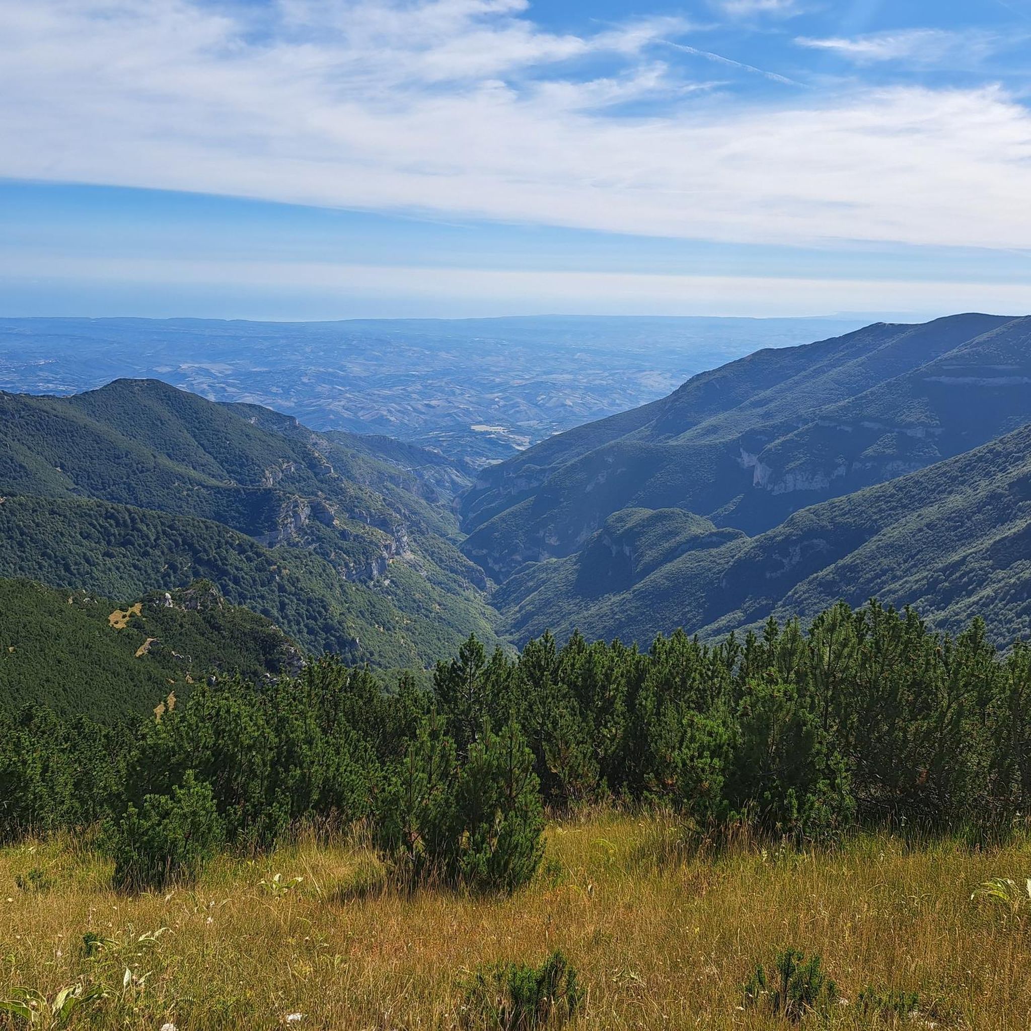
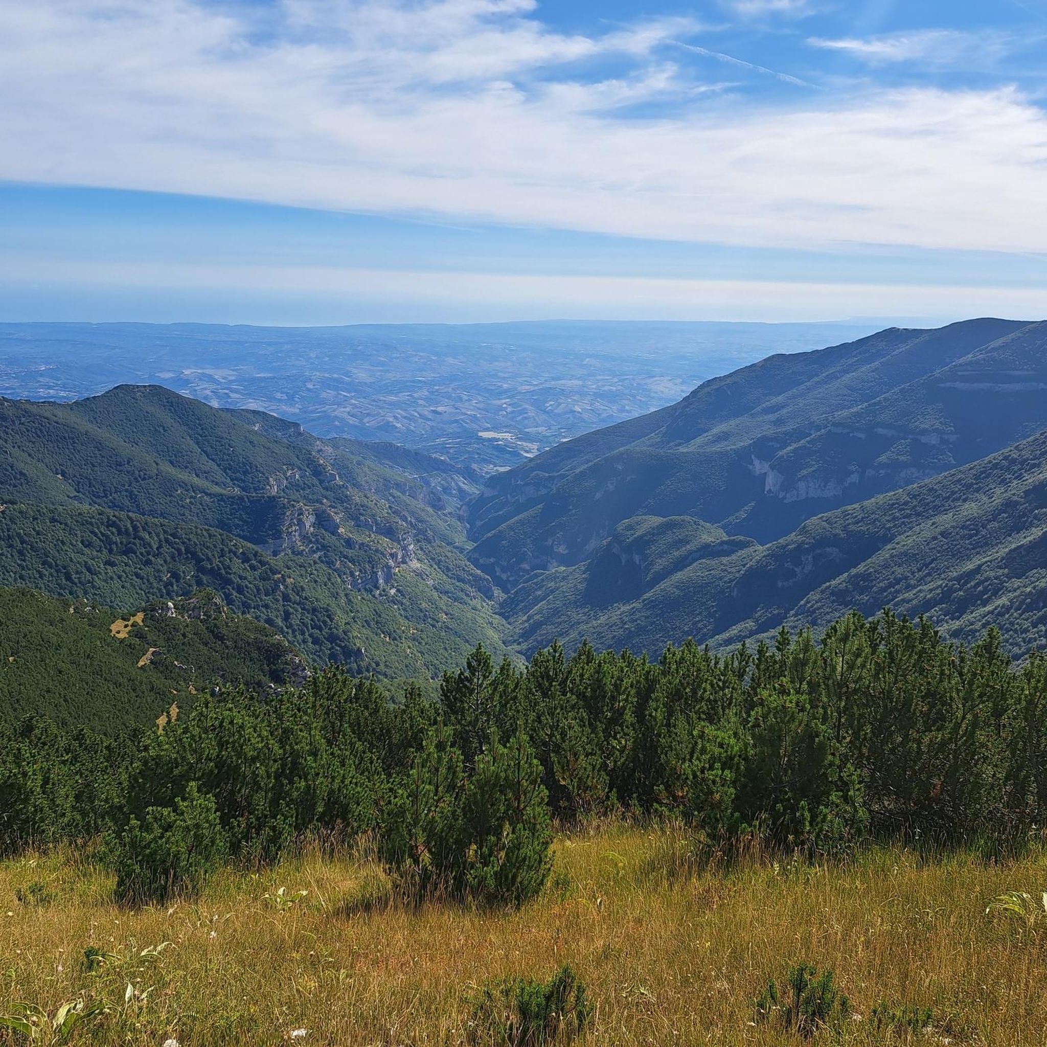
The inhabitants of Abruzzo and the neighboring region of Lazio have their own local observation related to this Passo Lanciano. When the sun sets in the spring behind the mighty Majella massif, it quickly gets dark on the Abruzzo side (i.e., where Passo Lanciano is located) and dusk falls, while on the other side of the mountains, in Lazio, it is still bright daylight. Locals joke that at the same moment, one half of Italy goes to sleep, and the other goes for an aperitivo.
0
0

after 13 kilometers of climbing, it's a very appreciable refreshment stop
0
0
Very challenging climb, with very few places to catch your breath and several long stretches at 14%. The view, however, is truly beautiful and offers great satisfaction when you reach the end of the climb.
0
0


It lacks nothing to be compared to many of the great Alpine climbs, 8% average for 19.6 from Roccamorice, the hardest and most panoramic side
0
0

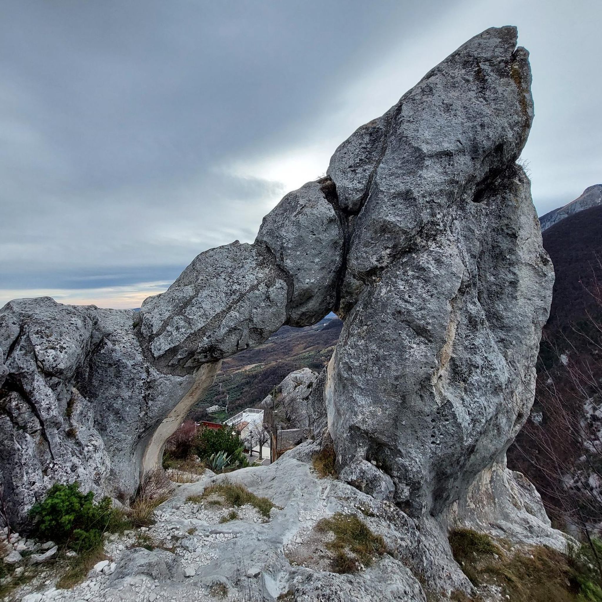
Built in the Middle Ages, this gateway is one of the main entrances to the ancient village. On one of its sides, you can read a verse by Gabriele D'Annunzio, which reads: "The city of stone, shone in the clear of May."
0
0
On the main altar of the church is placed the reliquary, containing the testimony of the first Eucharistic miracle.
0
0
Frequently Asked Questions
How many road cycling routes are available around Pennapiedimonte?
There are over 60 road cycling routes around Pennapiedimonte, offering a wide range of options for cyclists looking to explore the Majella National Park.
Are there any easy or beginner-friendly road cycling routes in Pennapiedimonte?
Pennapiedimonte's terrain, situated within the mountainous Majella National Park, is characterized by significant elevation changes. While there are no routes classified as 'easy', you can find 23 routes of 'moderate' difficulty. The remaining 38 routes are considered 'difficult', featuring substantial climbs.
What are the most challenging road bike climbs in the Pennapiedimonte area?
The region is renowned for its challenging climbs. Routes like Blockhaus da Bocca di Valle via Passo Lanciano and Monte Blockhaus – Pretoro loop from Comino feature significant elevation gains towards high-altitude passes and mountain plateaus, making them popular choices for experienced climbers.
What is the best time of year for road cycling around Pennapiedimonte?
Given the mountainous terrain of the Majella National Park, the best time for road cycling is typically from late spring through early autumn (May to October). During these months, you'll generally find more favorable weather conditions and accessible mountain passes. Winter can bring snow and ice, making many routes impassable.
Are there circular road cycling routes available?
Yes, many routes around Pennapiedimonte are designed as loops. For example, the Monte Blockhaus – Pretoro loop from Comino and the Francavilla al Mare Seafront – Pretoro loop from Guardiagrele are popular circular options that allow you to start and finish in the same location.
What kind of scenic viewpoints can I expect on road cycling routes in Pennapiedimonte?
The routes offer panoramic views across the Abruzzo landscape, including rugged peaks, deep valleys, and forested slopes. You'll encounter stunning vistas, especially on ascents towards mountain passes. Highlights such as Scenic Road to Passo Lanciano in Majella National Park provide exceptional photographic opportunities.
What are some interesting landmarks or attractions near the road cycling routes?
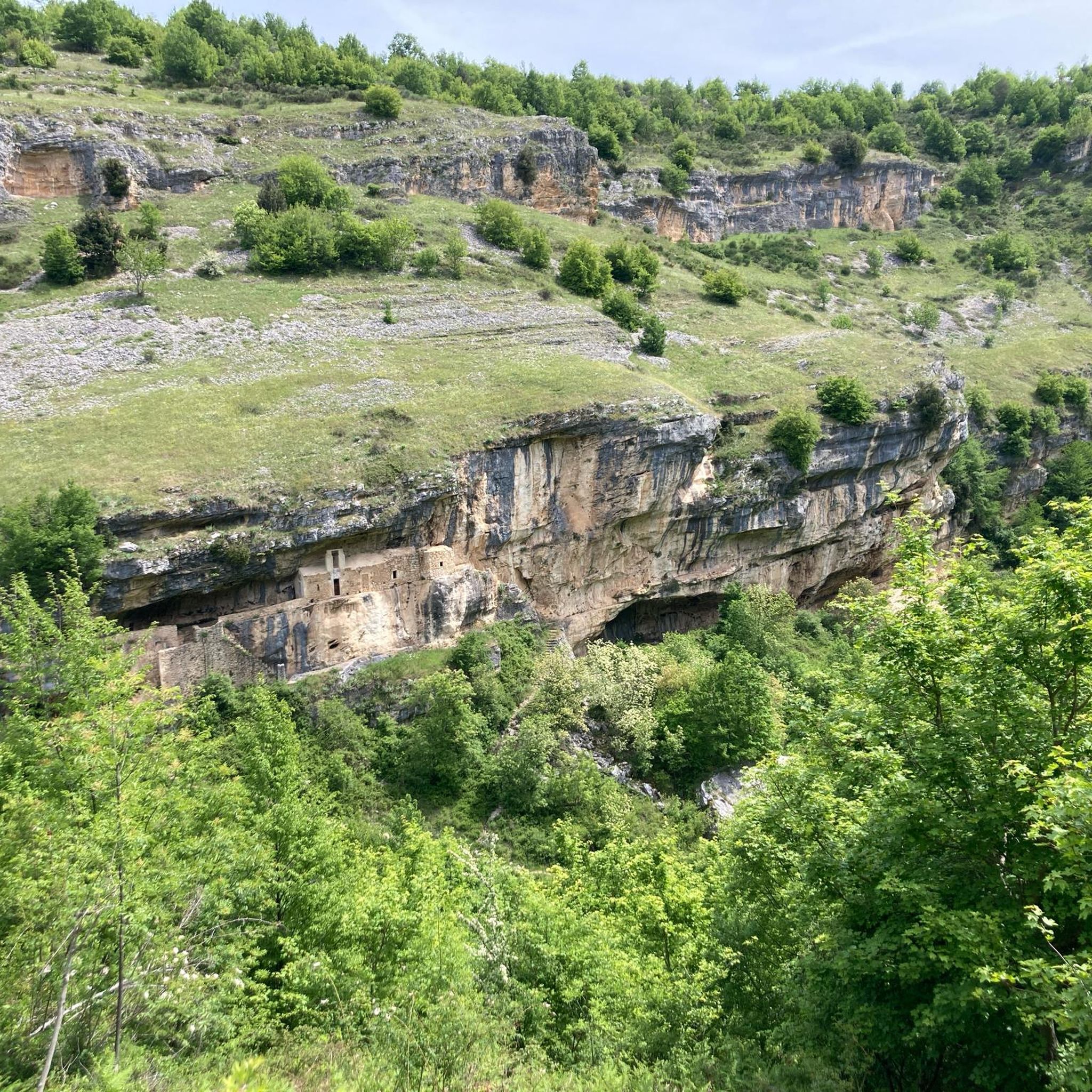
Beyond the natural beauty, you can explore various points of interest. The area features several mountain passes like Passo San Leonardo and Climb to Passo Lanciano. You might also encounter historical sites such as the Bocca di Valle Memorial or the ancient Hermitage of St. John at the Orfento.
What do other road cyclists enjoy most about cycling in Pennapiedimonte?
The area is highly rated by the komoot community, with an average score of 4.5 stars from over 70 reviews. Cyclists frequently praise the challenging mountain climbs, the rewarding panoramic views, and the diverse landscapes that connect the Majella massif with coastal areas.
Are there routes that combine mountain and coastal scenery?
Yes, some routes offer a unique blend of mountain and coastal landscapes. The Francavilla al Mare Seafront – Pretoro loop from Guardiagrele is a prime example, leading through varied scenery from the Adriatic coast to inland hills, providing a diverse cycling experience.
Where can I find parking for road cycling routes in Pennapiedimonte?
While specific parking information for each route is not detailed, Pennapiedimonte and surrounding towns like Guardiagrele or Comino typically offer public parking areas. It's advisable to check local maps or use navigation apps to locate suitable parking near your chosen starting point.
Are there any routes suitable for a shorter, intense climb?
For a shorter but intense climbing experience, consider routes like the Majelletta Summit – Blockhaus Climb loop from Cima Mammarosa. This route, though shorter in distance, still features significant elevation gain, making it a challenging option for those seeking a concentrated climb.
Most popular attractions around Pennapiedimonte

Get inspired with the komoot mobile app


Explore more
Browse the best Road cycling routes in other regions.
