The best running trails around Sante Marie
5.0
(3)
301
runners
31
runs
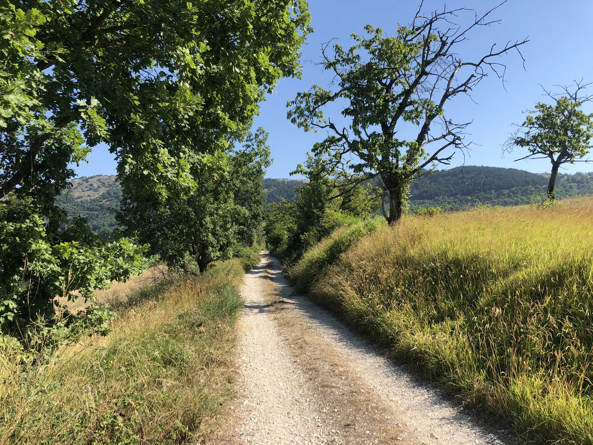
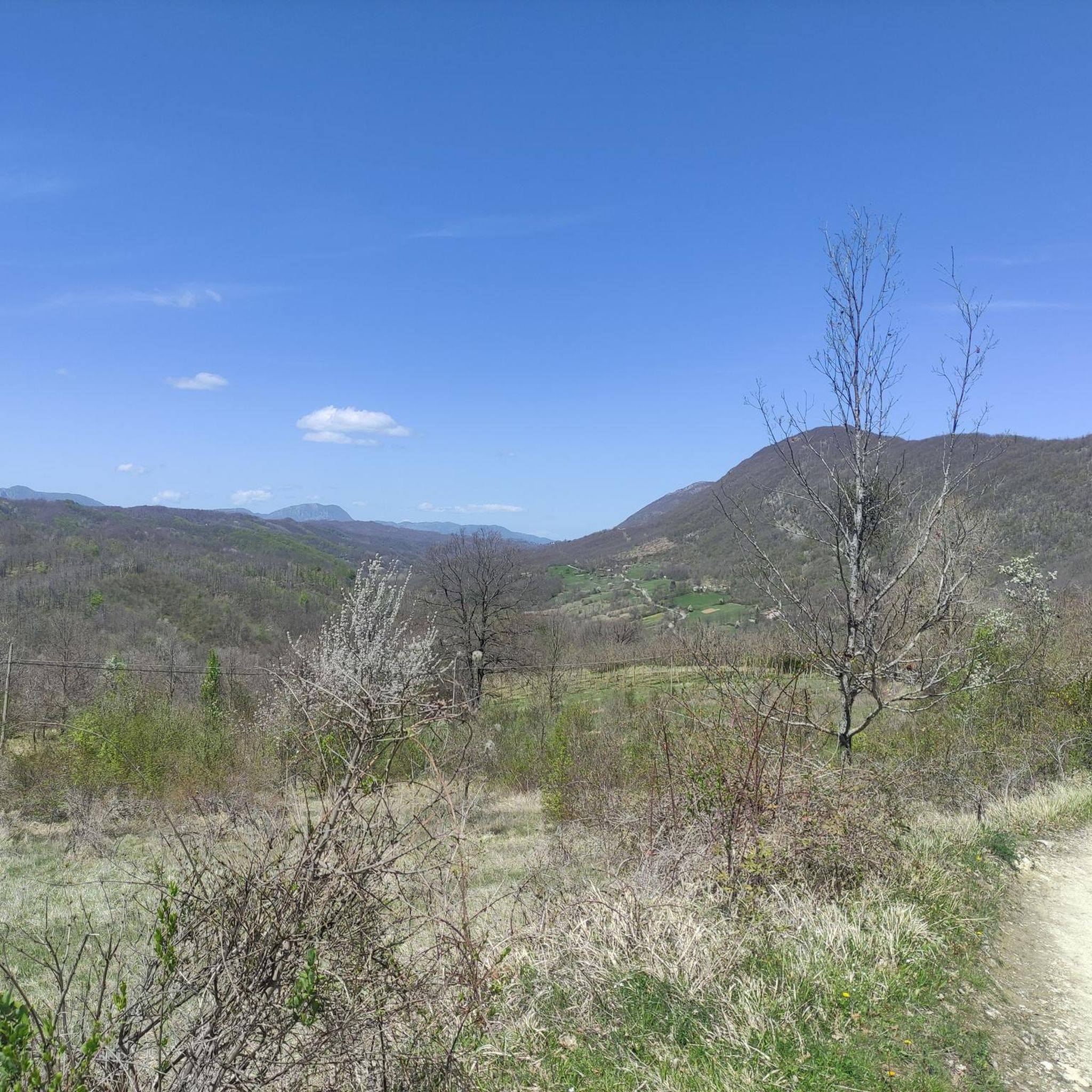
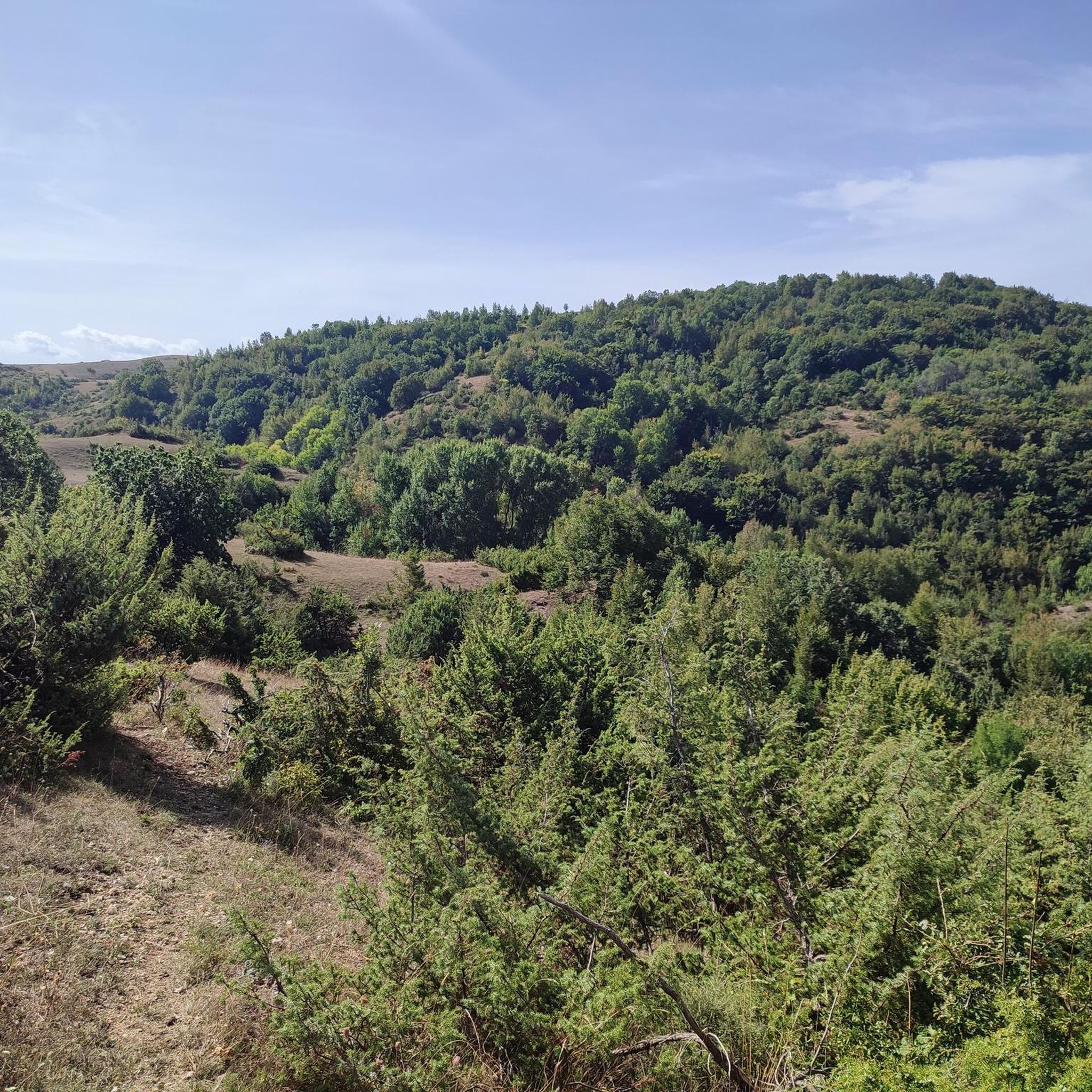
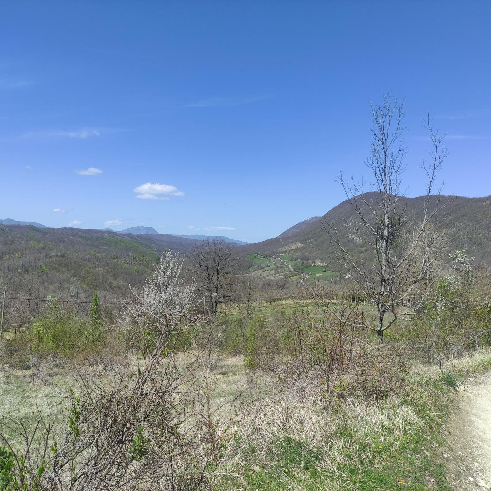
Jogging around Sante Marie reveals a landscape dominated by the Apennine mountains, particularly within the Parco Regionale Sirente-Velino. The region features significant elevation changes, with routes ascending to peaks like Monte Velino and Monte di Sevice. Runners can expect a mix of challenging mountain trails and more moderate paths through valleys and near historic towns. The terrain includes forested sections and open mountain slopes, offering diverse running experiences.
Best jogging routes around Sante Marie
- The most popular jogging route is…
Last updated: July 1, 2026
14
runners
Embark on a challenging jogging loop with the Ascent to Monte di Sevice and Passo Le Forche, a difficult route spanning 8.8 miles (14.1 km) and featuring a significant 4275…
5.0
(1)
56
runners
23.6km
03:52
1,180m
1,180m
Hard run. Very good fitness required. Sure-footedness, sturdy shoes and alpine experience required.

Sign up for free
5.0
(1)
24
runners
Hard run. Very good fitness required. Sure-footedness, sturdy shoes and alpine experience required.
24
runners
21.4km
02:35
590m
590m
Hard run. Very good fitness required. Mostly paved surfaces. Suitable for all skill levels.
19
runners
8.24km
00:53
110m
110m
Moderate run. Good fitness required. Mostly paved surfaces. Suitable for all skill levels.
Get access to more routes and recommendations from other explorers.
Sign up for free
Already have an account?
Our route recommendations are based on thousands of hikes, rides, and runs completed by other people on komoot.
Start today with a free account
Your next adventure awaits.
Login or Signup
Popular around Sante Marie



Tips from the Community

A charming little village nestled in the mountains. A must-see!
0
0


beautiful and long circular excursion starting from the hamlet of Forme
2
0

Sante Marie is a municipality in the province of L'Aquila surrounded by the Apennine mountains, among chestnut woods. It is the beginning of the path of the Brigands' path and other local paths (Corradino's path). The murals that color the walls of the houses in the village are very beautiful.
0
0

Tagliacozzo is a very suggestive town in the Marsica area. It stands on the slopes of Mount Civita and the houses seem to climb along the rocky side. The central square with the fountain with the obelisk surrounded by colorful houses is particularly characteristic.
0
0
This small town is actually the most populous hamlet of Borgorose. The old village still maintains its medieval matrix intact, with the castle and the circular tower clearly visible. From here several paths start within the Duchess Mountains. In the small town there is also an archeology museum dedicated to the ancient Equi people.
2
0

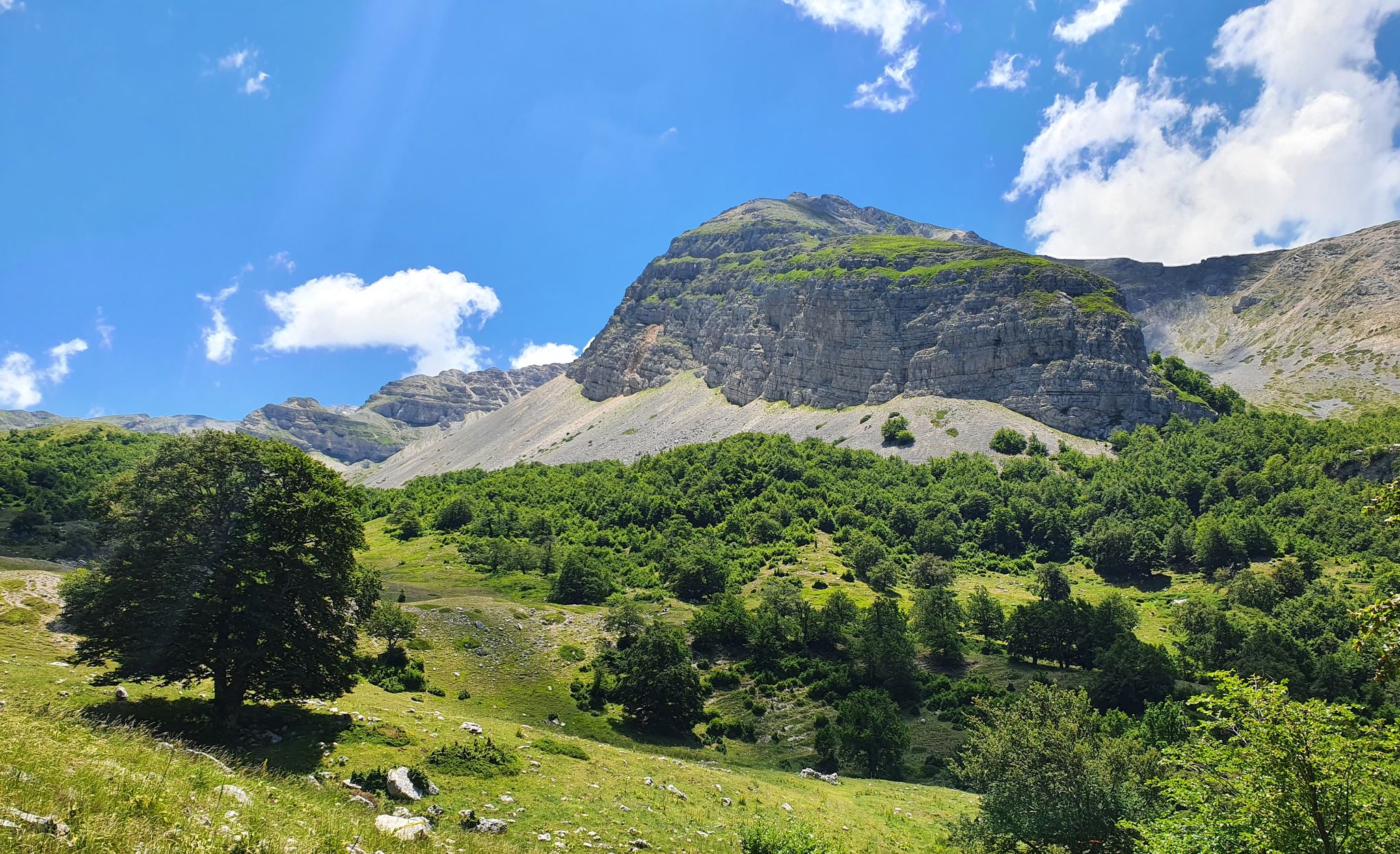
Overview of Monte Velino from Bicchero
0
1
Crossroads of paths. From here you can follow the ascent to Monte Velino, and follow the other tracks within the Sirente-Velino Regional Park.
0
0
Frequently Asked Questions
What kind of terrain can I expect on running routes around Sante Marie?
Jogging routes around Sante Marie are primarily characterized by mountainous terrain within the Apennine mountains and the Parco Regionale Sirente-Velino. You'll encounter significant elevation changes, forested sections, and open mountain slopes, offering a diverse and often challenging running experience.
Are there any easy or beginner-friendly jogging routes in Sante Marie?
While Sante Marie is known for its challenging mountain trails, there are options for less experienced runners. The region offers 2 easy and 5 moderate routes. For example, the Running loop from Tagliacozzo is a moderate 8.2 km trail with manageable elevation, often completed in about 52 minutes, making it suitable for those looking for a less strenuous run.
What are some scenic highlights or landmarks I can see while jogging in Sante Marie?
The routes in Sante Marie offer stunning views of the Apennine mountains and the Parco Regionale Sirente-Velino. You can encounter various mountain passes like Le Forche Pass and Monte Bove Pass, as well as viewpoints like the Panoramic Terrace Colli di Monte Bove. Historic villages such as Rosciolo dei Marsi Historic Village are also nearby.
Are there any circular running routes available in the Sante Marie area?
Yes, several routes around Sante Marie are designed as loops. A popular example is the difficult Ascent to Monte di Sevice and Passo Le Forche – loop run in the Parco Regionale Sirente-Velino. Another challenging option is the Capanna di Sevice Mountain Hut – Monte Velino Summit Cross loop from Chiesa di Santa Maria in Valle Porclaneta.
What do other runners say about the jogging trails in Sante Marie?
The jogging routes in Sante Marie are highly regarded by the komoot community, holding an impressive average rating of 5.0 stars from over 2 reviews. More than 200 runners have already used komoot to explore the varied and challenging terrain, often praising the stunning mountain landscapes and the sense of accomplishment from tackling the significant elevation gains.
How many jogging routes are there in total around Sante Marie?
There are 22 jogging routes available around Sante Marie. These routes cater to various fitness levels, with 2 easy, 5 moderate, and 15 difficult options, ensuring there's a trail for almost every runner.
Are there any long-distance running trails for experienced runners?
Absolutely. Sante Marie offers several challenging long-distance routes. The Capanna di Sevice Mountain Hut – Monte Velino Summit Cross loop from Chiesa di Santa Maria in Valle Porclaneta is a difficult 15.5 km path with nearly 1500 meters of elevation gain, perfect for those seeking a demanding endurance run.
What is the best time of year to go jogging in Sante Marie?
Given its location in the Apennine mountains, Sante Marie experiences significant seasonal changes. While specific details on the best time are not provided, generally, spring and autumn offer pleasant temperatures for mountain running. Summer can be warm, especially at lower elevations, while winter brings snow and colder conditions, making some higher-altitude routes more challenging or inaccessible.
Are there any jogging routes that start near towns or villages?
Yes, some routes offer convenient access from local towns. For instance, the Running loop from Tagliacozzo starts directly from the town, providing easy access to varied terrain. Another option is the Running loop from Magliano de' Marsi, which also begins near a settlement.
Can I find routes that lead to mountain huts or refuges?
Yes, some of the more challenging routes in Sante Marie lead to mountain huts. The Capanna di Sevice Mountain Hut – Monte Velino Summit Cross loop from Chiesa di Santa Maria in Valle Porclaneta is a prime example, offering a destination for a break before continuing to the summit.
Are there any routes suitable for families with children?
While many routes in Sante Marie feature significant elevation and difficulty, families might find the easier or moderate routes more suitable. The Running loop from Tagliacozzo, being moderate and shorter, could be a good option for families looking for a less strenuous outdoor activity, though parental discretion is advised due to the mountainous environment.
What kind of elevation gain should I expect on the jogging routes?
Jogging in Sante Marie often involves significant elevation gain due to the mountainous terrain. Difficult routes like the Ascent to Monte di Sevice and Passo Le Forche can have over 1300 meters of ascent, while even moderate routes like the Running loop from Tagliacozzo still feature over 100 meters of climbing.
Most popular attractions around Sante Marie

Get inspired with the komoot mobile app


Explore more
Browse the best Running Trails & Routes in other regions.
