The best walks and hikes around Sante Marie
4.6
(381)
2,147
hikers
17
hikes
Hiking around Sante Marie offers a diverse landscape characterized by forested areas and historical routes. The region features varied terrain suitable for different hiking abilities, from moderate paths to more challenging trails. These routes often traverse natural woodlands and connect to local points of interest, providing a comprehensive outdoor experience.
Best hiking trails around Sante Marie
- The most popular hiking route is Cammino dei Briganti (Sante Marie) — Ring tour, a moderate 5.5 miles (8.9 km) trail that takes…
Last updated: July 5, 2026
4.3
(9)
21
hikers
8.89km
02:35
190m
200m
Moderate hike. Good fitness required. Mostly accessible paths. Sure-footedness required.
4.9
(12)
72
hikers
21.9km
06:44
710m
720m
Hard hike. Very good fitness required. Mostly accessible paths. Sure-footedness required.

Sign up for free
5.0
(7)
67
hikers
15.9km
04:54
560m
560m
Moderate hike. Good fitness required. Easily-accessible paths. Suitable for all skill levels.
4.3
(6)
46
hikers
20.6km
06:17
630m
640m
Hard hike. Very good fitness required. Mostly accessible paths. Sure-footedness required.
4.8
(6)
57
hikers
11.0km
03:46
510m
510m
Moderate hike. Good fitness required. Mostly accessible paths. Sure-footedness required.
Get access to more routes and recommendations from other explorers.
Sign up for free
Already have an account?
Our route recommendations are based on thousands of hikes, rides, and runs completed by other people on komoot.
Start today with a free account
Your next adventure awaits.
Login or Signup
Popular around Sante Marie
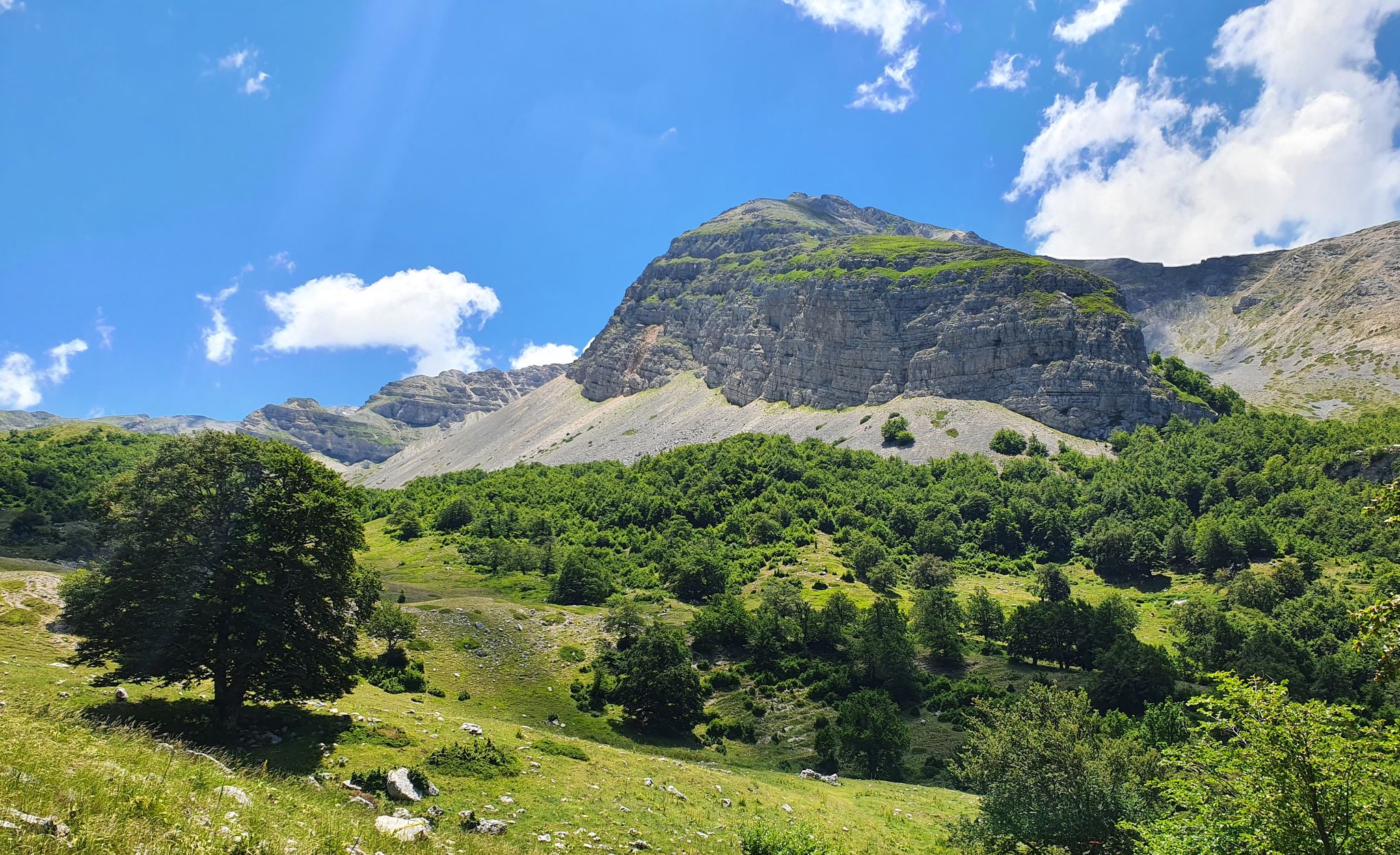
Cammino dei Briganti – hike in the footsteps of Marsica and Cicolano rebels in Italy
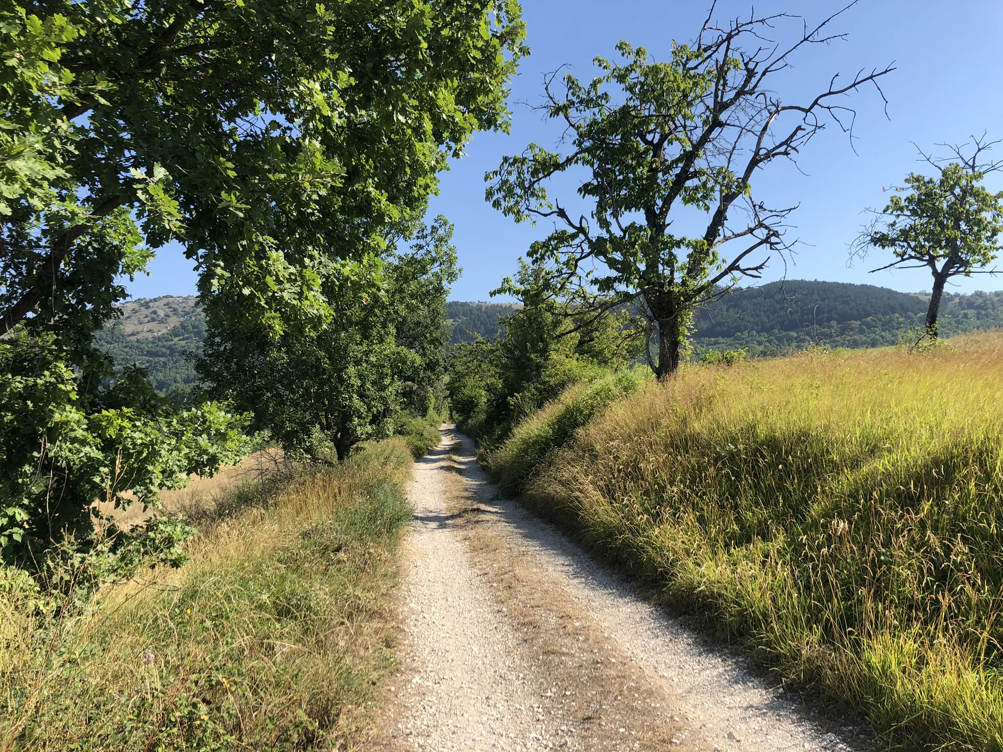
MTB the border between Lazio and Abruzzo – Cammino dei Briganti
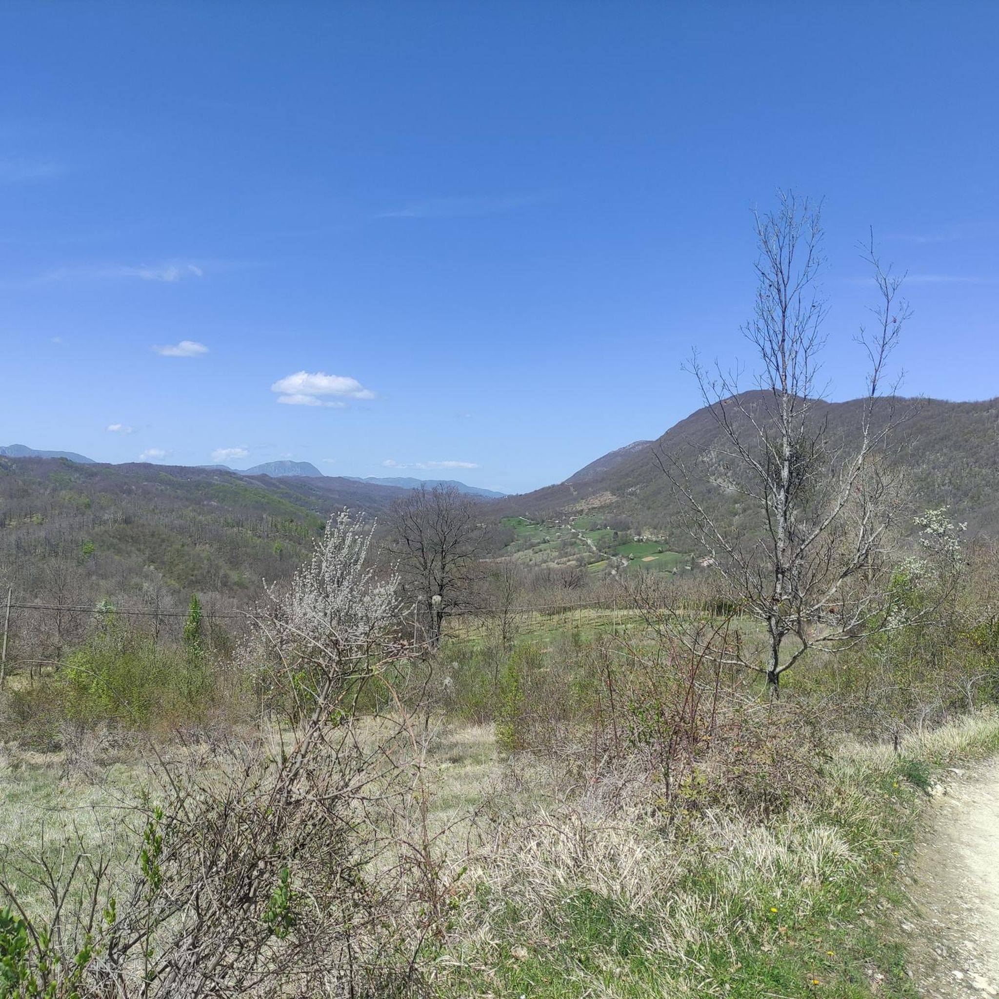
Road Cycling Routes around Sante Marie
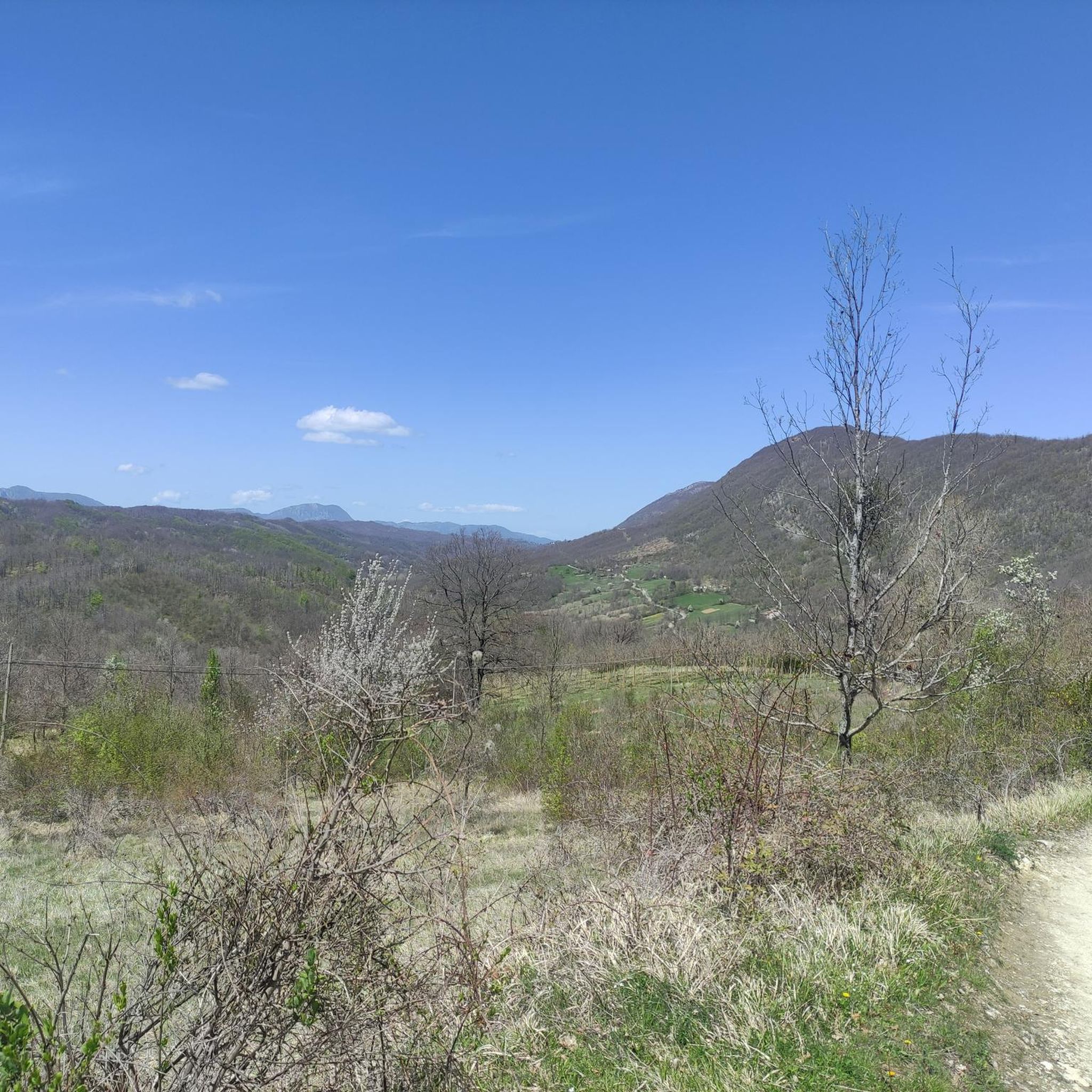
MTB Trails around Sante Marie
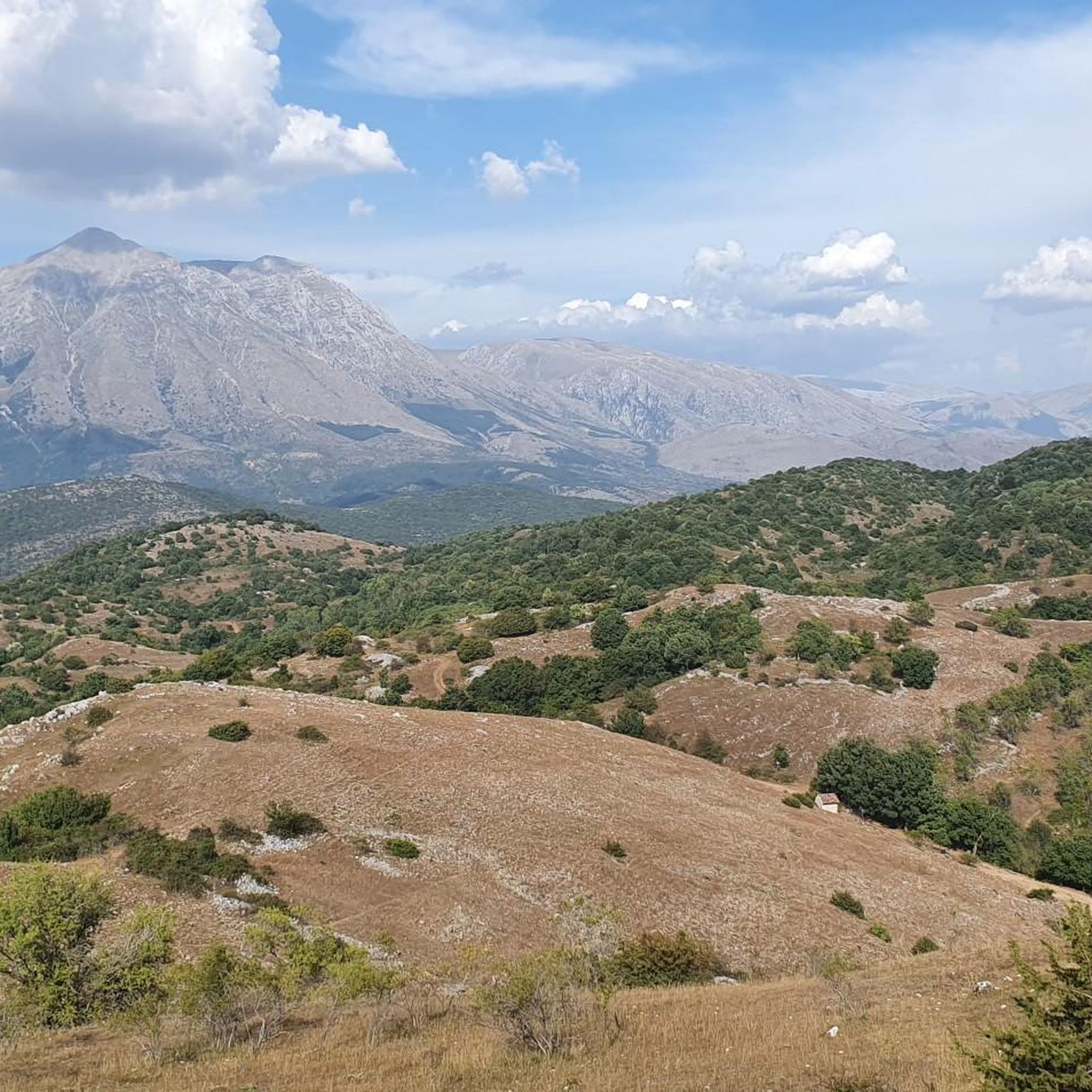
Running Trails around Sante Marie
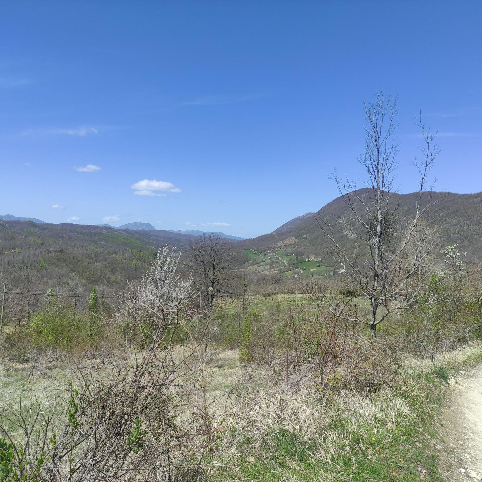
Cycling around Sante Marie

Gravel biking around Sante Marie


Tips from the Community

Very nice little town. You can stop in the shade on the benches. There is a fountain with drinkable water in the town square.
1
0


The castle of San Donato is located in the village of the same name, whose remains are at an altitude of 1174 metres. There are visible ruins of the castle, two circular towers and the staircase from which to descend.
0
0
Sante Marie is a municipality in the province of L'Aquila surrounded by the Apennine mountains, among chestnut woods. It is the beginning of the path of the Brigands' path and other local paths (Corradino's path). The murals that color the walls of the houses in the village are very beautiful.
0
0
Valdevarri is about 8 km from the municipality of Sante Marie and is on the border between Abruzzo and Lazio, precisely in the locality "Le Colonnelle", where a plaque was found with the inscription "ALBENSIUM FINES" (the end of the territory of the Marsi Alba ). to know more https://www.e-borghi.com/it/sc/2-castelli-chiese-monumenti-musei/l'aquila-sante-marie/1634/valdevarri.html#google_vignette
0
0
Panoramic view of the town of Castelvecchio.
0
0
- Church of the Madonna della Neve dating back to the end of the 17th century and it is assumed that it was a stopping point for pilgrims going to the Sanctuary of the Holy Trinity. http://marsica.comunitaospitali.it/Santo-Stefano-sante-marie
0
0
In the square of the town of Santo Stefano there is the church of Santo Stefano Protomartire, mentioned in the Papal Bull of Clement III. Initially linked to a Benedictine monastery, it was renovated for the first time in the 16th century, then in 1903; with a single nave, it is characterized by the wonderful classical altar, embellished by the canvas (1800) by the painter from Tagliacozzo Guadagnoli depicting the stoning of Saint Stephen. https://grottediluppa.com/luoghi-da-visitare/
0
0
Frequently Asked Questions
How many hiking trails are available around Sante Marie?
There are over 15 hiking trails around Sante Marie, offering a variety of experiences. These include routes ranging from moderate walks to more challenging, longer excursions through forested areas and historical paths.
Are there easy hiking options for beginners or casual walkers in Sante Marie?
Yes, Sante Marie offers several easier routes. For instance, the Cammino dei Briganti (Sante Marie) — Ring tour is a moderate 5.5-mile trail that explores historical paths and is a great option for those looking for a less strenuous hike.
What kind of landscapes can I expect to see while hiking near Sante Marie?
Hiking around Sante Marie is characterized by diverse landscapes, primarily featuring forested areas and historical routes. You'll traverse natural woodlands, varied terrain, and encounter historical sites, providing a comprehensive outdoor experience.
Are there any circular walks available in Sante Marie?
Yes, many routes around Sante Marie are designed as circular walks. A popular option is the Cammino dei Briganti (Sante Marie) — Ring tour, which allows you to start and end in the same location while exploring historical paths.
What are some interesting places or landmarks to see near the hiking trails?
While hiking near Sante Marie, you can explore several interesting landmarks. Consider visiting the Rosciolo dei Marsi Historic Village or the charming settlement of Nesce. For those interested in mountain scenery, the Panoramic Terrace Colli di Monte Bove offers stunning views.
How long do hikes typically take in Sante Marie?
Hike durations vary significantly depending on the trail's length and difficulty. For example, the moderate Cammino dei Briganti (Sante Marie) — Ring tour typically takes about 2 hours 35 minutes, while a more difficult route like the In the woods – Sante Marie loop from Sante Marie can take over 6 hours.
What do other hikers say about the trails in Sante Marie?
The trails in Sante Marie are highly regarded by the komoot community, with an average rating of 4.5 stars from over 300 reviews. Hikers often praise the varied terrain, the immersive nature experience through extensive woodlands, and the well-maintained historical paths.
Are there any challenging hikes for experienced hikers in Sante Marie?
Yes, Sante Marie offers several challenging routes. The In the woods – Sante Marie loop from Sante Marie is a difficult 13.6-mile path leading through extensive woodlands, providing a demanding and immersive nature experience for seasoned hikers.
Can I find trails that lead to viewpoints or scenic spots?
Absolutely. Many trails in the Sante Marie region offer beautiful viewpoints. For instance, the Panoramic Terrace Colli di Monte Bove is a highlight that can be reached via certain routes, providing expansive views of the surrounding landscape.
What is the elevation gain like on hikes around Sante Marie?
The elevation gain varies significantly across trails. Moderate routes like the Cammino dei Briganti (Sante Marie) — Ring tour have an elevation gain of around 190 meters, while more difficult trails such as the In the woods – Sante Marie loop from Sante Marie can involve over 700 meters of ascent.
Are there any specific trails that explore historical sites?
Yes, the Sante Marie region is known for its historical routes. The Scanzano – San Donato Castle loop from Italian Peninsula is a 9.9-mile trail that leads through varied terrain and past historical sites, offering a blend of nature and history.
Most popular attractions around Sante Marie

Get inspired with the komoot mobile app


Explore more
Browse the best Hikes in other regions.
