The best walks and hikes around Roccascalegna
4.1
(122)
645
hikers
23
hikes
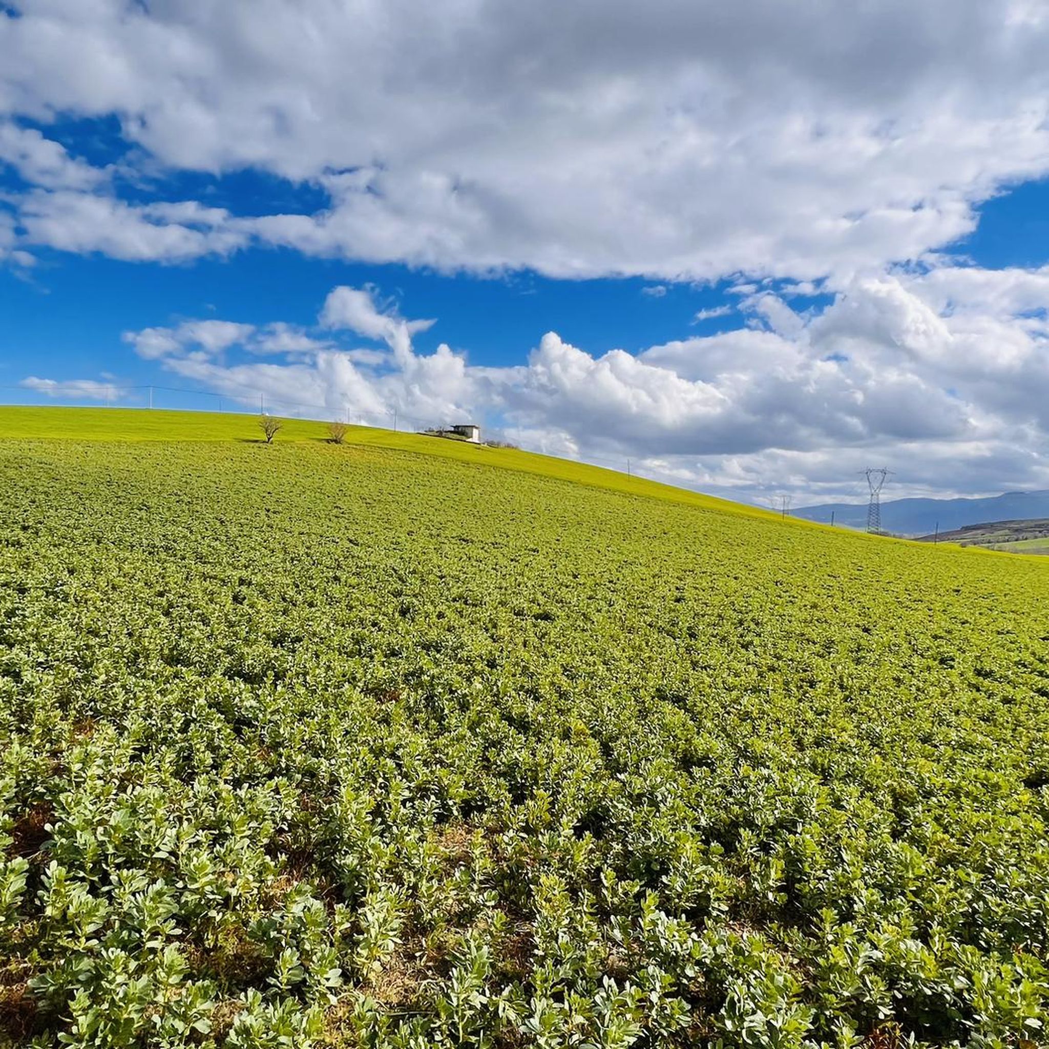
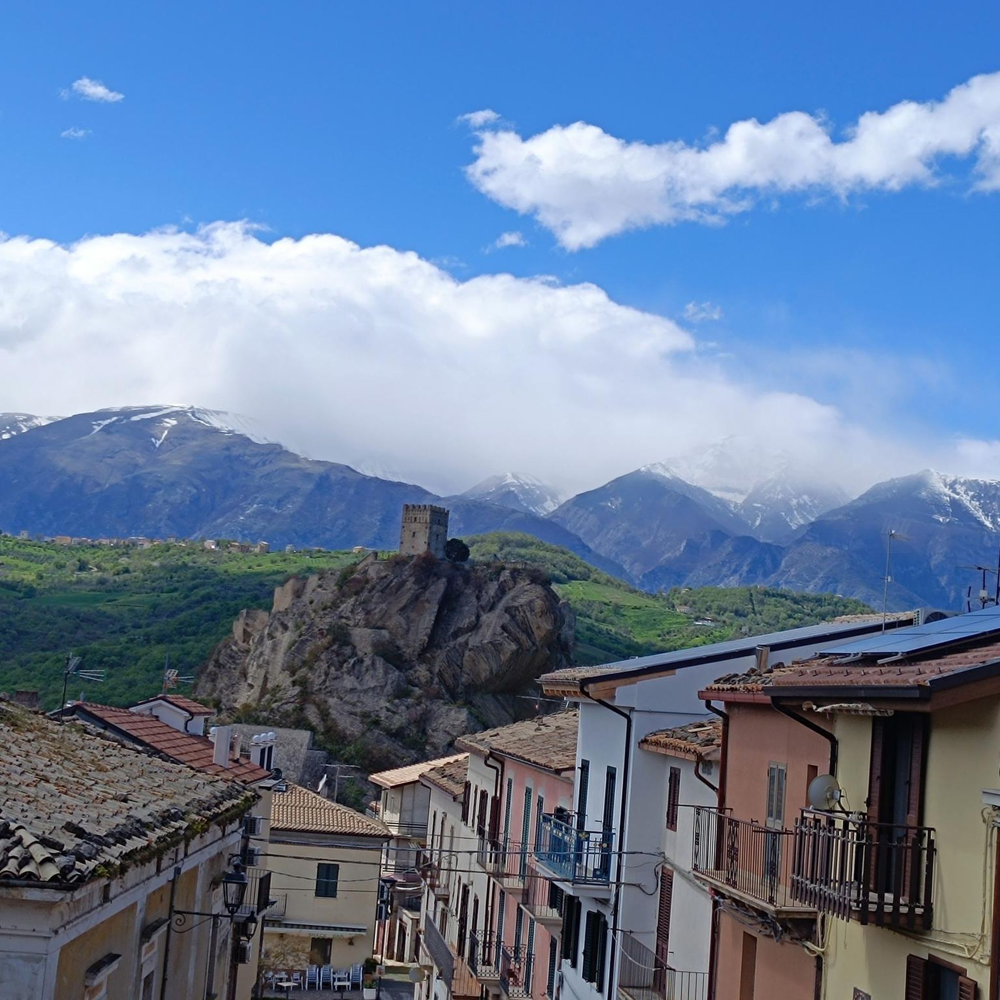
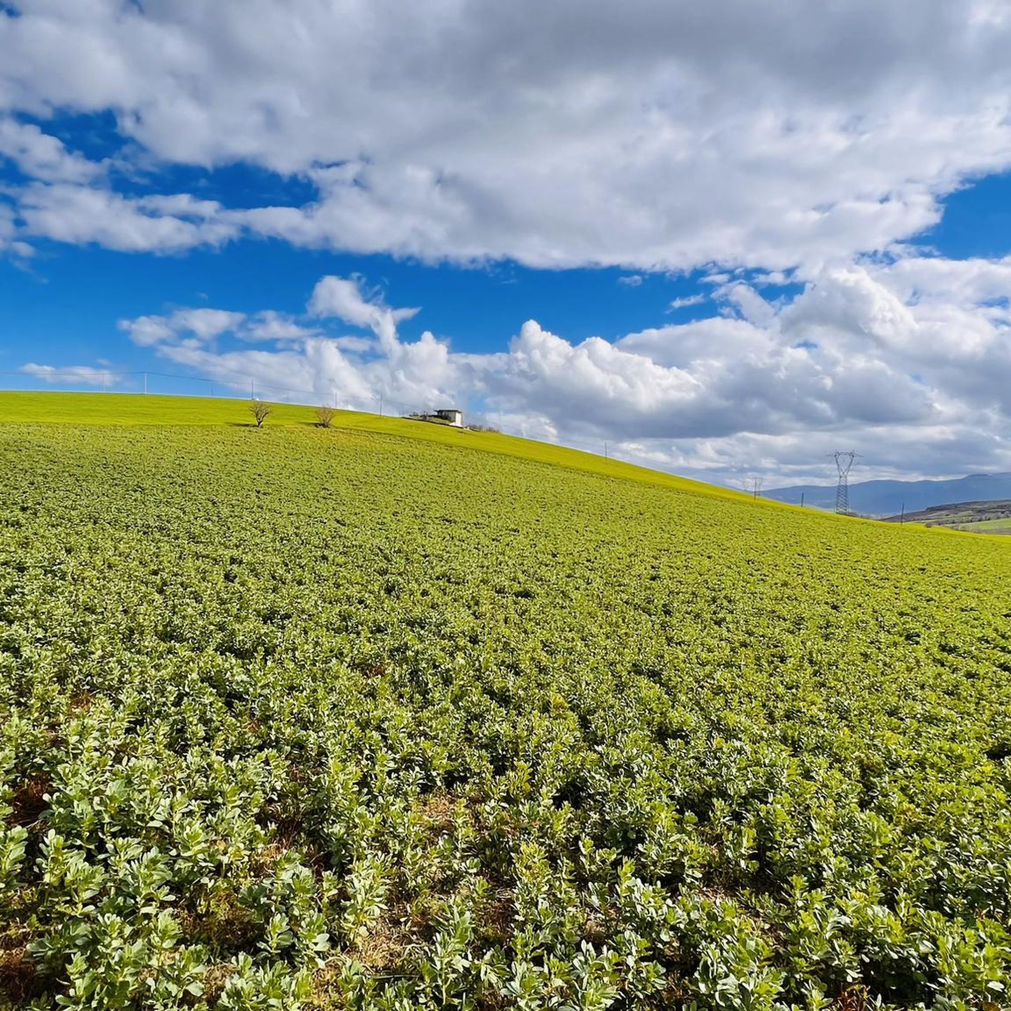
Hiking around Roccascalegna offers diverse terrain in the Abruzzo region of Italy. The area is characterized by hills, valleys, and ridges, with the village itself perched on a rocky outcrop. Hikers can experience panoramic views of the surrounding landscape, including olive groves and the Maiella mountains. The region also features forested areas and is near the Sangro Valley and Mount San Pancrazio.
Best hiking trails around Roccascalegna
- The most popular hiking route is From Gessopalena to Castello di Roccascalegna,…
Last updated: August 19, 2026
4.0
(1)
5
hikers
9.90km
03:11
430m
430m
Moderate hike. Good fitness required. Easily-accessible paths. Suitable for all skill levels.
4.9
(13)
45
hikers
Easy hike. Great for any fitness level. Easily-accessible paths. Suitable for all skill levels.

Sign up for free
4.8
(16)
92
hikers
19.1km
08:47
1,540m
1,540m
Hard hike. Very good fitness required. Sure-footedness, sturdy shoes and alpine experience required.
4.8
(8)
63
hikers
16.0km
09:08
1,550m
1,550m
Hard hike. Very good fitness required. Sure-footedness, sturdy shoes and alpine experience required.
4.6
(7)
35
hikers
12.5km
06:46
1,170m
1,170m
Hard hike. Very good fitness required. Mostly accessible paths. Sure-footedness required.
Get access to more routes and recommendations from other explorers.
Sign up for free
Already have an account?
Our route recommendations are based on thousands of hikes, rides, and runs completed by other people on komoot.
Start today with a free account
Your next adventure awaits.
Login or Signup

Tips from the Community

fantastic route
0
0

It is a beautiful river and its waters are used to produce pasta. In fact, in the immediate vicinity, there are two world-famous pasta factories.
0
0

Nice place for a break
0
0

Wonderful place made by mountain bike until we were I recommend it for those who love trekking and mountain bike
0
0

Lovely cold drinking water and a shady spot.
0
0


Far from the annoying noises of the city...... Exclusively pedestrian area 🚶♀️🚶🚶♀️🚶♂️🚶🏼♀️
0
0
Frequently Asked Questions
How many hiking trails are available around Roccascalegna?
There are over 20 hiking trails around Roccascalegna, offering a variety of experiences from easy walks to more challenging ascents. The komoot community has explored more than 20 routes in the area.
What kind of terrain can I expect on hikes near Roccascalegna?
The terrain around Roccascalegna is characterized by dramatic landscapes, including hills, valleys, and ridges. You'll find rocky outcrops, forested areas, and paths winding through olive groves. Many routes offer continuous panoramic views of the surrounding countryside and the majestic Maiella mountains.
Are there any family-friendly hiking options in Roccascalegna?
Yes, there are several easier options suitable for families. For example, the Sources of the Verde River – Gorges of Fara San Martino loop from Fara San Martino is an easy 1.9-mile (3.1 km) path that explores river sources and gorge landscapes, making it a good choice for a shorter outing.
What are the best times of year to go hiking in Roccascalegna?
Spring and early autumn are particularly recommended seasons for hiking in Roccascalegna. During these times, the weather is pleasant, and the scenery is vibrant, offering ideal conditions to enjoy the region's natural beauty.
Are there any circular hiking routes available?
Yes, several circular routes are available. The Sources of the Verde River – Gorges of Fara San Martino loop from Fara San Martino is an easy circular path. For a more challenging option, consider the Vallone di Santo Spirito – Gorges of Fara San Martino loop from Fara San Martino, which is a longer, difficult route.
What natural features or landmarks can I see while hiking?
Hikers can explore a wealth of natural features and historical landmarks. The iconic Castello di Roccascalegna is a major highlight, offering incredible panoramic views. Other notable natural attractions include the Gorges of Fara San Martino, the Vallone di Santo Spirito, and the Sources of the Verde River.
How long do hikes typically take in the Roccascalegna area?
Hike durations vary significantly depending on the route's length and difficulty. Shorter, easy paths like the Sources of the Verde River loop can take around 1 hour 7 minutes. More challenging routes, such as the Gorges of Fara San Martino – Vallone di Santo Spirito loop from Fara San Martino, might take about 3 hours 30 minutes, while longer difficult trails can extend to over 8 hours.
What do other hikers say about the trails in Roccascalegna?
The hiking routes in Roccascalegna are highly rated by the komoot community, with an average score of 4.2 stars from over 140 reviews. Hikers often praise the diverse terrain, the continuous views of the Maiella mountains, and the opportunities to explore historical sites like the castle.
Are there any challenging hikes for experienced hikers?
Yes, Roccascalegna offers several challenging routes. The Vallone di Santo Spirito – Gorges of Fara San Martino loop from Fara San Martino is a difficult 11.6-mile (18.7 km) trail with significant elevation gain, ideal for experienced hikers seeking a longer adventure. Another difficult option is the Gorges of Fara San Martino – Sources of the Verde River loop from Fara San Martino.
Can I see any waterfalls on hikes near Roccascalegna?
Yes, the region features natural monuments including waterfalls. You can find the Waterfall in Gola di Pennadomo as a highlight in the vicinity, which can be incorporated into a hiking plan.
Is the Roccascalegna Castle accessible during a hike?
The Roccascalegna Castle is a central feature of the area and is accessible to hikers. Reaching the castle involves a climb up a path from the village, which is a hike in itself. The From Gessopalena to Castello di Roccascalegna route specifically offers views towards this historic landmark.
Are there options for easy hikes for beginners?
Absolutely. Out of the 23 available tours, 3 are classified as easy, making them suitable for beginners or those looking for a relaxed walk. The Sources of the Verde River – Gorges of Fara San Martino loop from Fara San Martino is a great example of an easy trail.
Most popular attractions around Roccascalegna

Get inspired with the komoot mobile app


Explore more
Browse the best Hikes in other regions.
