The best running trails around Rocca Di Botte
4.0
(2)
455
runners
37
runs
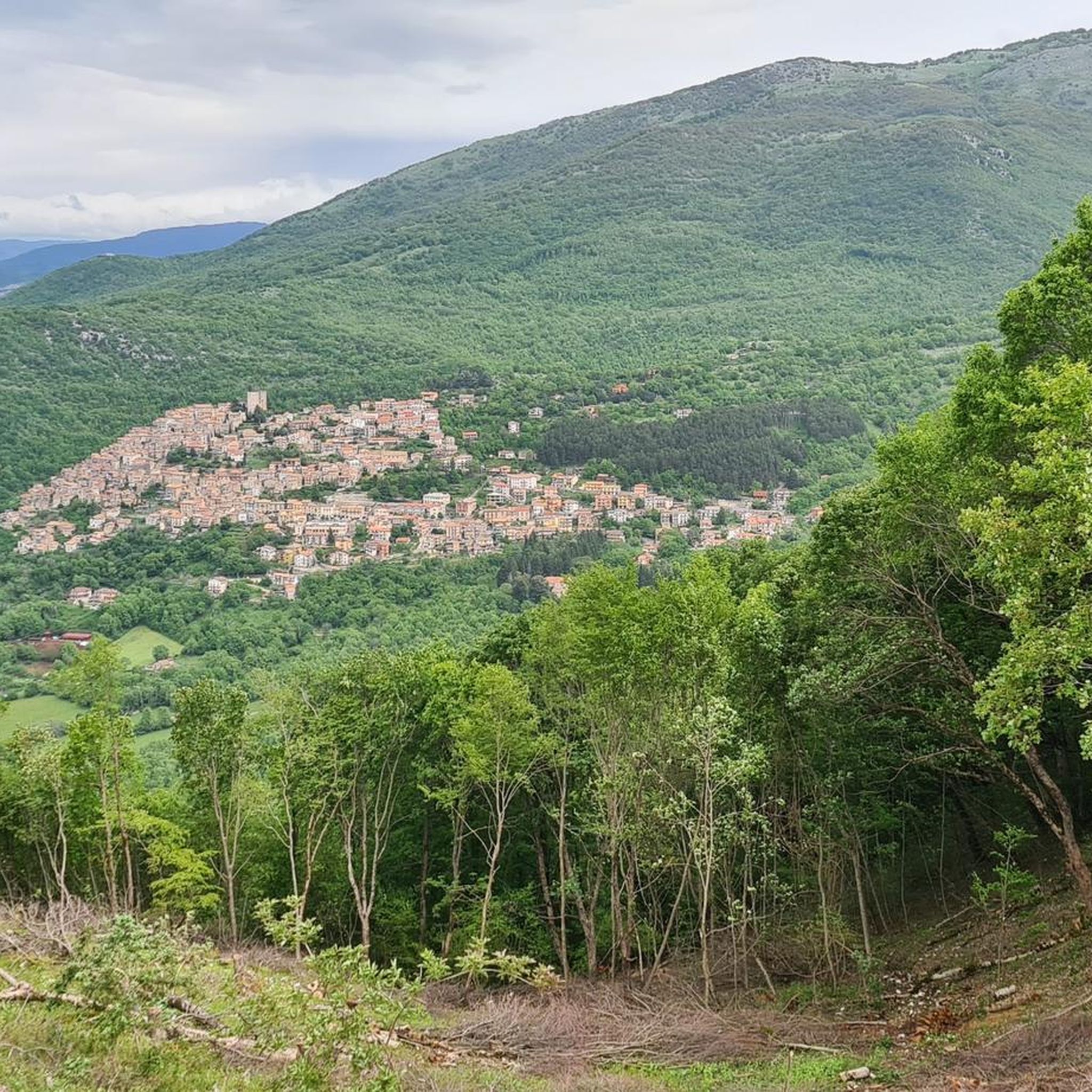
Jogging routes around Rocca Di Botte are set within the mountainous landscape of the Abruzzo region, offering varied terrain for runners. The area is characterized by its serene natural environment, with routes winding through hills and forests. Proximity to Monti Simbruini Natural Park and Gran Sasso National Park provides extensive trail networks and diverse scenery, from high-altitude plateaus to ancient woodlands. The elevation changes in this region present opportunities for different training intensities.
Best jogging routes around Rocca Di Botte
…Last updated: May 24, 2026
8
runners
15.3km
02:13
650m
650m
Hard run. Very good fitness required. Sure-footedness, sturdy shoes and alpine experience required.
9
runners
9.77km
01:01
50m
50m
Moderate run. Good fitness required. Mostly paved surfaces. Suitable for all skill levels.

Sign up for free
6
runners
13.5km
01:30
310m
310m
Hard run. Very good fitness required. Mostly paved surfaces. Suitable for all skill levels.
5
runners
13.6km
01:42
360m
360m
Hard run. Very good fitness required. Mostly paved surfaces. Suitable for all skill levels.
5
runners
6.92km
00:43
30m
30m
Moderate run. Good fitness required. Mostly paved surfaces. Suitable for all skill levels.
Get access to more routes and recommendations from other explorers.
Sign up for free
Already have an account?
Our route recommendations are based on thousands of hikes, rides, and runs completed by other people on komoot.
Start today with a free account
Your next adventure awaits.
Login or Signup

Tips from the Community

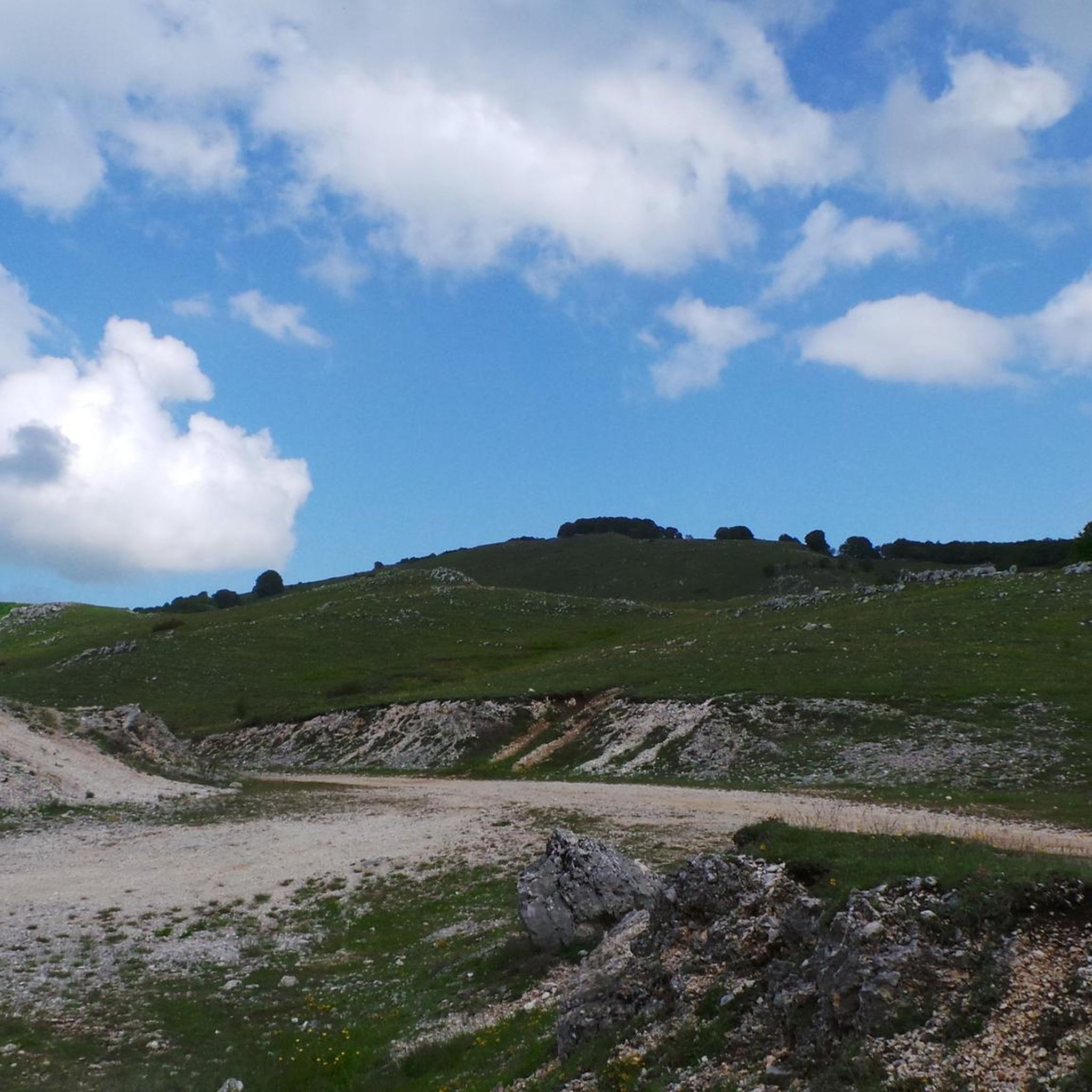
Simple walk but with a wonderful view!!
0
0

Panoramic point at about 1750 meters above sea level, important crossroads for singletrack
0
0

Starting from Campo dell'Osso, at an altitude of 1,750 meters, amid cool beech forests and silence broken only by the sound of tires on the ground. After a short initial stretch on a mixed trail, we immediately enter the heart of Cannavacciari, one of the most evocative trails in the Simbruini Mountains Natural Park. The trail winds steadily downhill, technical yet fluid, for 6.2 km, reaching Campo Secco at 1,340 meters. The elevation gain is significant—about 410 meters—but the varied terrain makes it fun and never boring. Fast sections alternate with tight curves, passages over roots, rocks, and some counter-slopes of up to 19%, reminding us that even on descents, you need to be strong. Every curve offers glimpses of the forest, shady sections, and the scent of pristine nature. The Cannavacciari trail has a touch of the ancient past: it's said to have been a link once used by charcoal burners and shepherds, and today it's beloved by mountain bike enthusiasts for its wild and authentic feel. The trail isn't always marked, so GPS is strongly recommended. Once you reach Campo Secco, an intense experience comes to an end, where every meter has been earned with technique and attention. A must for those who love natural, uncontrived enduro.
0
0

Very beautiful, but be careful with the loose gravel base.
0
0
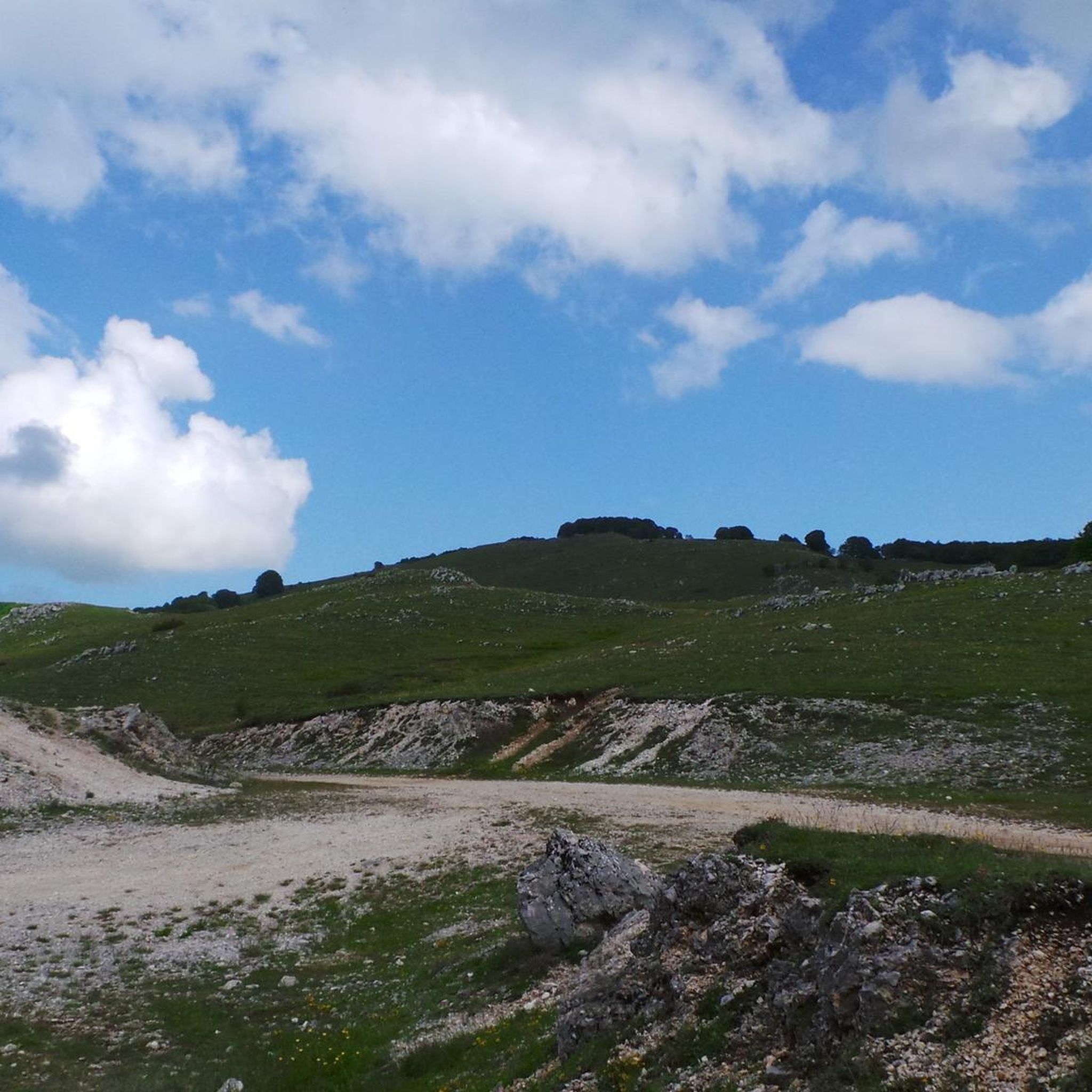
The Simbruini Mountains plateau is a crossroads for interesting and varied trails. Cycling on this plateau, you can take advantage of its connection to a wide variety of destinations, including Livata, Campaegli, Vedute, Cervara, and Fioio. The only drawback is the lack of fountains.
0
0

Hello everyone, I can only tell you that it was a lucky excursion for a great running event on all the paths of Campo dell'Osso up to Monte Autoro, a beautiful trial marathon with many participants. Just the day, cool and sunny, perfect day
0
0

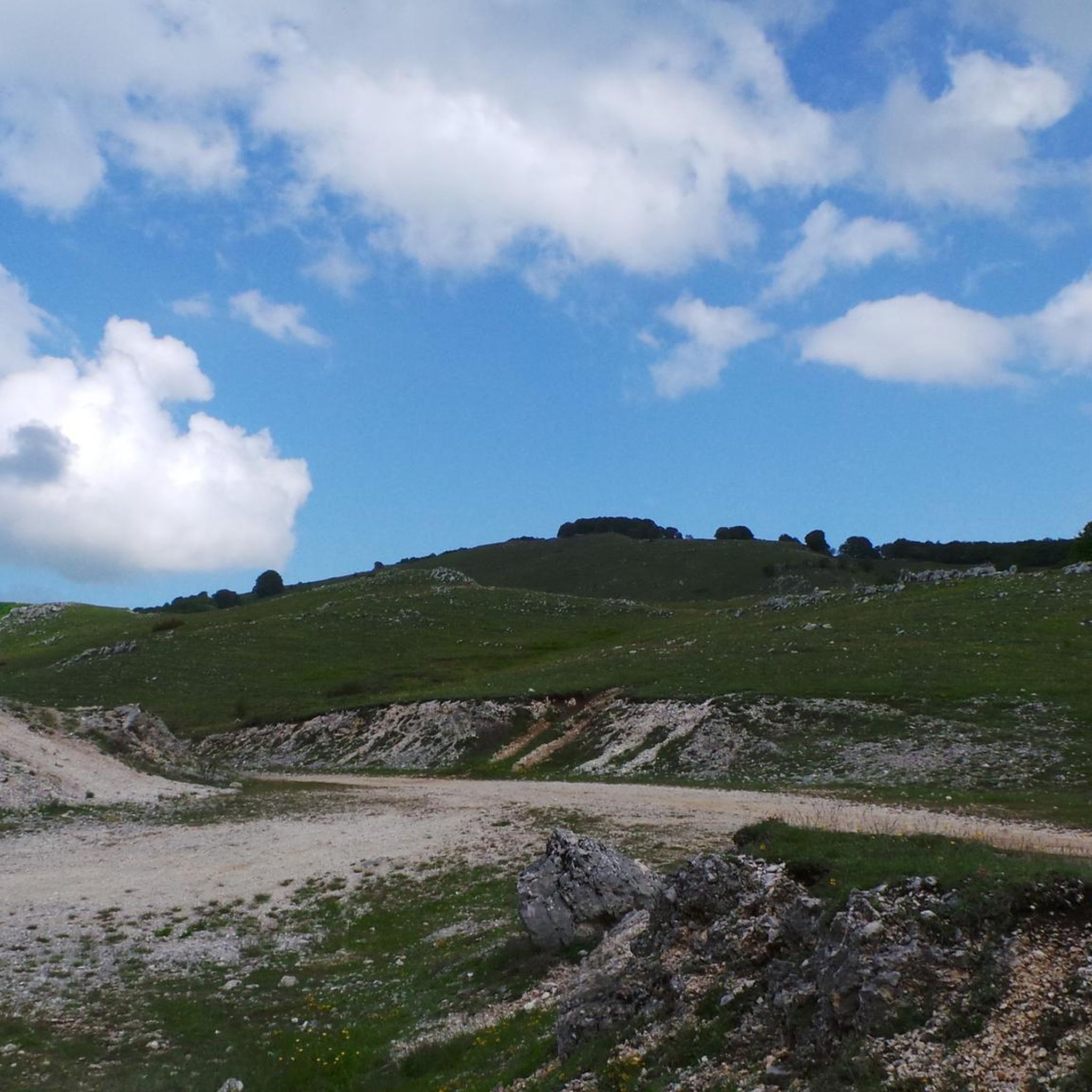
At the end of the dirt road that starts from Campo Minnio you arrive at the panoramic point Le Vedute with a view of Monte Tarino, Monte Viglio and the Santissima Trinità
0
0

Monna dell'Orso is a mountain located in the Monte Livata district, in the Simbruini Mountains. With a height of 1,745 meters above sea level, it is one of the most emblematic peaks in the area. The mountain is famous for its ski resort, which includes a four-seater chairlift that allows you to easily reach the top and enjoy spectacular views of the surrounding valley. In addition to winter, Monna dell'Orso is also a popular destination during the summer season, thanks to its trails that lead to panoramic excursions in the heart of the Simbruini Mountains Regional Natural Park.
2
0
Frequently Asked Questions
How many running routes are available around Rocca Di Botte?
There are over 30 running routes around Rocca Di Botte, offering a variety of experiences. While many are considered challenging, there are also moderate options available for different fitness levels.
What kind of terrain can I expect on the running trails in Rocca Di Botte?
The running trails in Rocca Di Botte are predominantly mountainous, winding through serene natural environments, hills, and forests. You can expect varied terrain, from gentle inclines to more challenging ascents, providing diverse training opportunities. The area is also close to extensive trail networks within the Monti Simbruini Natural Park and Gran Sasso National Park, offering a mix of high-altitude plateaus and ancient woodlands.
What do other runners say about the trails in Rocca Di Botte?
The running routes in Rocca Di Botte are highly rated by the komoot community, with an average score of 4.0 stars from 2 reviews. Over 400 runners have used komoot to explore the varied terrain, often praising the scenic views and the challenging yet rewarding nature of the trails.
Are there any circular running routes in the area?
Yes, many of the routes around Rocca Di Botte are circular, allowing you to start and finish at the same point. For example, the difficult route Le Vedute loop from Campo dell'Osso is a popular circular option, offering great views.
What natural features or landmarks can I see while running?
The region boasts magical views of the soaring Gran Sasso mountains. Along the routes, you might encounter diverse scenery from ancient olive and almond orchards to vineyards. Specific highlights include the Monte Autore Summit, Prato di Camposecco, and the Ponte di San Francesco. The proximity to Monti Simbruini Natural Park also means you could encounter forests, waterfalls, and wildlife.
Are there any historical sites or points of interest along the routes?
Yes, the area around Rocca Di Botte has historical significance. You can find sites such as the Villa of Nero Ruins and the Border of the Papal State. Additionally, there are several castles nearby, including the Massimo Castle of Arsoli and Rocca Abbaziale di Subiaco, which offer glimpses into the region's past.
Are there any easy running routes for beginners in Rocca Di Botte?
While many routes in Rocca Di Botte are rated as difficult, there are some moderate options suitable for those looking for a less strenuous run. For instance, the Madonna del Giglio loop from Marano Equo is a moderate 9.4 km path with minimal elevation gain, making it a good choice for beginners or a relaxed run.
What are some longer distance running options in Rocca Di Botte?
For those seeking longer distances, the region offers challenging routes with significant elevation. A notable option is the difficult Le Vedute – Passo Procoio loop from Osservatorio astronomico, which spans over 20 km and features substantial elevation gain, providing a demanding and rewarding experience.
Can I bring my dog on the running trails near Rocca Di Botte?
Generally, dogs are welcome on many trails in the Abruzzo region, especially in natural parks like Monti Simbruini and Gran Sasso. However, it's always advisable to keep them on a leash and check specific park regulations or route descriptions for any restrictions, especially concerning protected wildlife areas.
What is the best time of year for running in Rocca Di Botte?
Rocca Di Botte offers beautiful running conditions throughout much of the year. Spring and autumn provide pleasant temperatures and vibrant scenery. Summer can be warm, but the mountainous terrain often offers cooler temperatures at higher elevations. Winter running is possible, but trails may be affected by snow and ice, especially at higher altitudes, so checking local conditions is recommended.
Where can I find parking for the running trails in Rocca Di Botte?
Parking availability varies by trailhead. Many routes, such as those starting from Campo dell'Osso, typically have designated parking areas nearby. It's recommended to check the specific route details on komoot for information on starting points and parking facilities.
How can I reach the running trails using public transport?
While Rocca Di Botte is a charming village, public transport options directly to trailheads can be limited due to its mountainous location. It's often easier to reach the area by car. However, some local bus services might connect to nearby towns, from which you could potentially access trails. For detailed information on reaching the region, you might find general travel advice on the official tourism website for Abruzzo: italia.it.
Are there any cafes or places to refuel near the running routes?
Rocca Di Botte and its surrounding villages offer local cafes and trattorias where you can refuel after your run. While not directly on every trail, you'll find options in the village centers. It's a good idea to carry water and snacks, especially on longer or more remote routes, as amenities might not be immediately available along the trails themselves.
Most popular attractions around Rocca Di Botte

Get inspired with the komoot mobile app


Explore more
Browse the best Running Trails & Routes in other regions.
