The best walks and hikes around Rocca Di Botte
4.4
(1275)
4,909
hikers
195
hikes
Hiking around Rocca Di Botte offers access to the Simbruini Mountains, characterized by varied terrain including forested slopes, open plains, and historical ruins. The region features a network of trails suitable for different experience levels, from gentle walks to more challenging ascents. This area provides opportunities to explore natural landscapes and historical sites.
Best hiking trails around Rocca Di Botte
- The most popular hiking route is Ruins of Camerata Vecchia – Plain of the Simbruini Mountains loop from Camerata Nuova…
Last updated: July 9, 2026
4.6
(11)
52
hikers
Moderate hike. Good fitness required. Mostly accessible paths. Sure-footedness required.
4.7
(12)
47
hikers
16.4km
05:59
790m
790m
Hard hike. Very good fitness required. Mostly accessible paths. Sure-footedness required.

Sign up for free
4.4
(7)
31
hikers
13.2km
04:37
600m
600m
Moderate hike. Good fitness required. Mostly accessible paths. Sure-footedness required.
4.2
(6)
13
hikers
12.8km
04:15
540m
540m
Moderate hike. Good fitness required. Mostly accessible paths. Sure-footedness required.
3.8
(4)
14
hikers
6.62km
01:56
180m
180m
Easy hike. Great for any fitness level. Easily-accessible paths. Suitable for all skill levels.
Get access to more routes and recommendations from other explorers.
Sign up for free
Already have an account?
Our route recommendations are based on thousands of hikes, rides, and runs completed by other people on komoot.
Start today with a free account
Your next adventure awaits.
Login or Signup
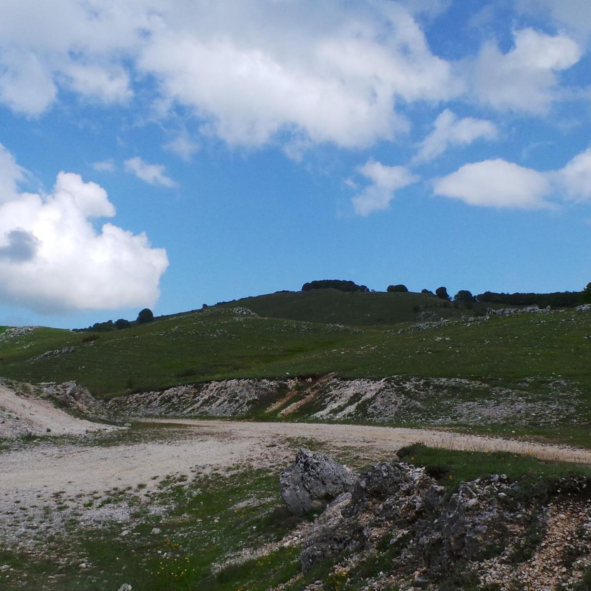
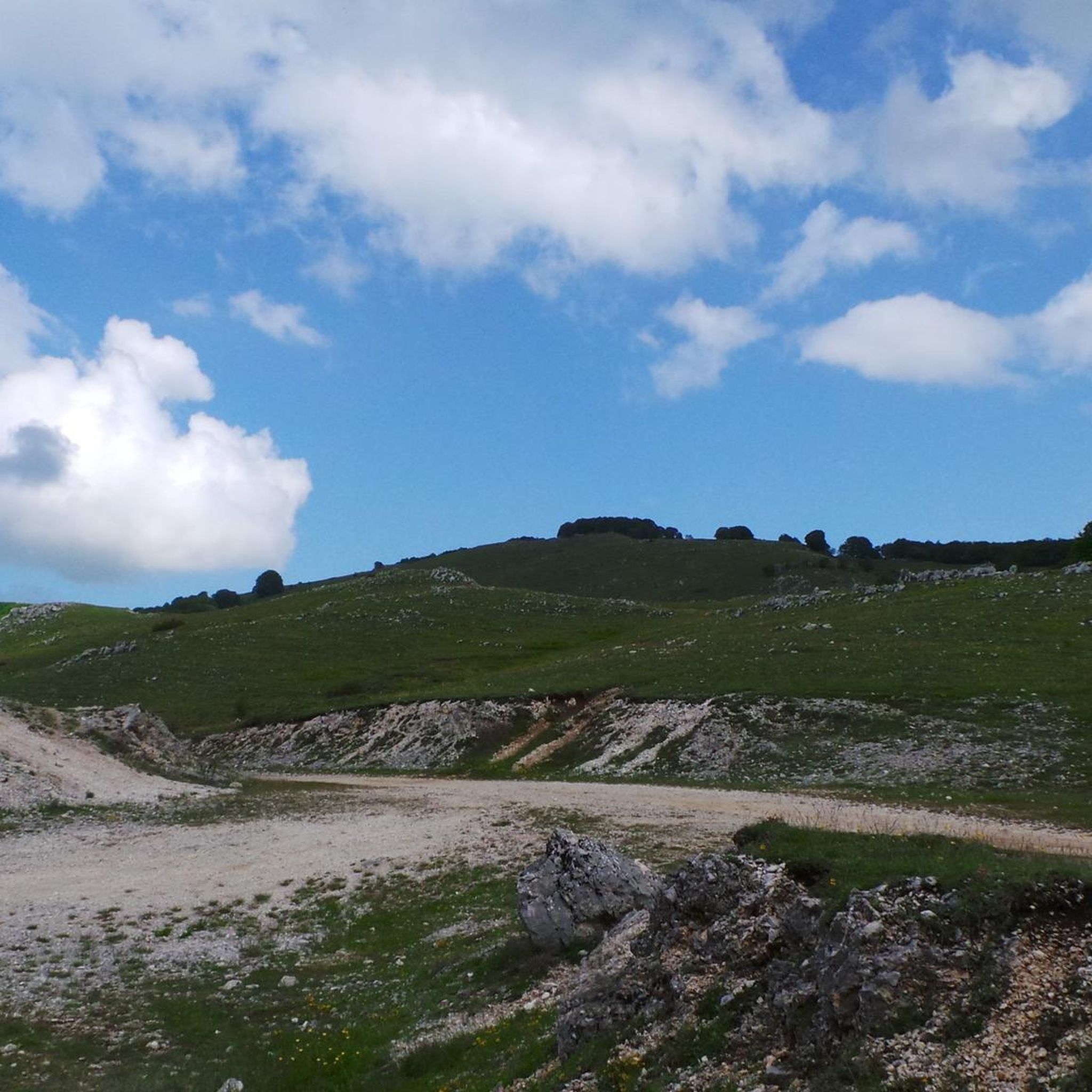
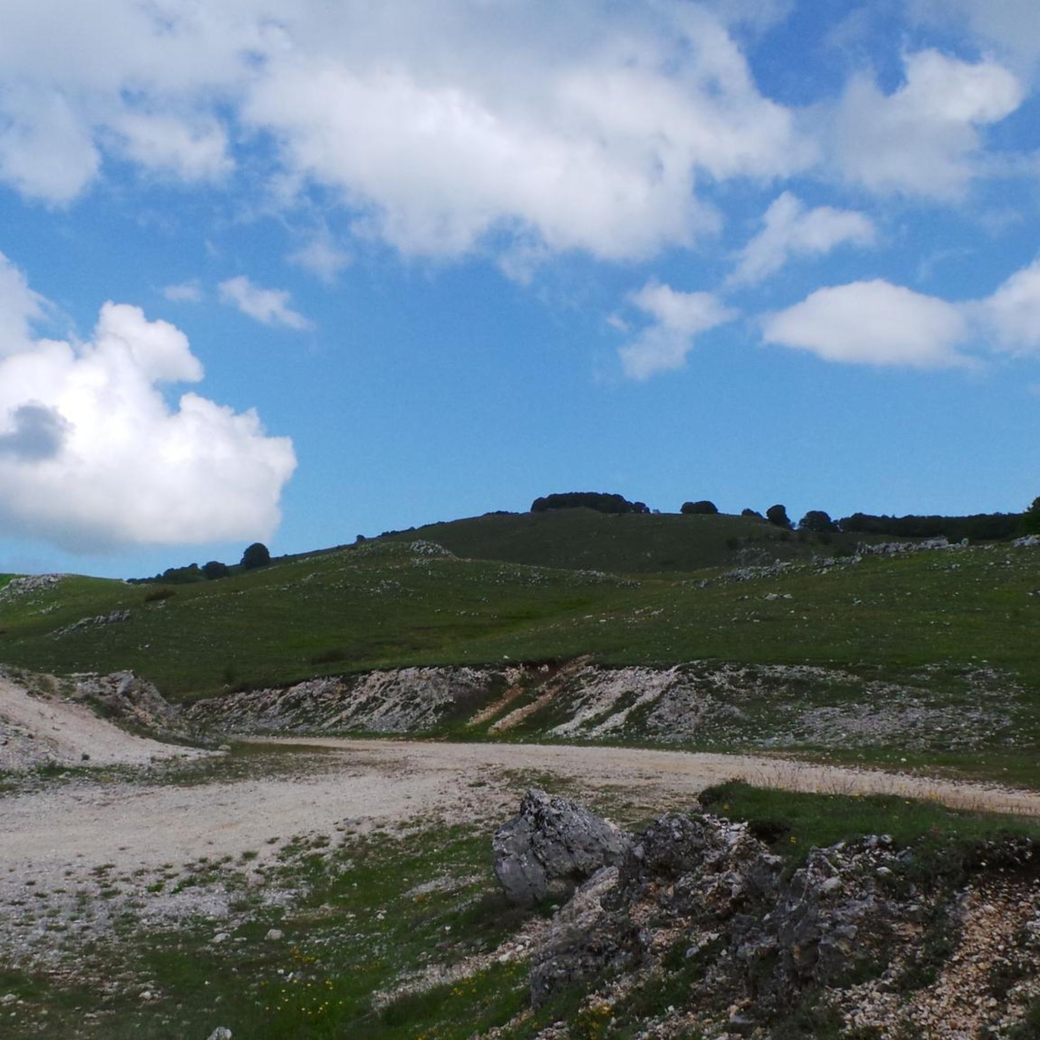

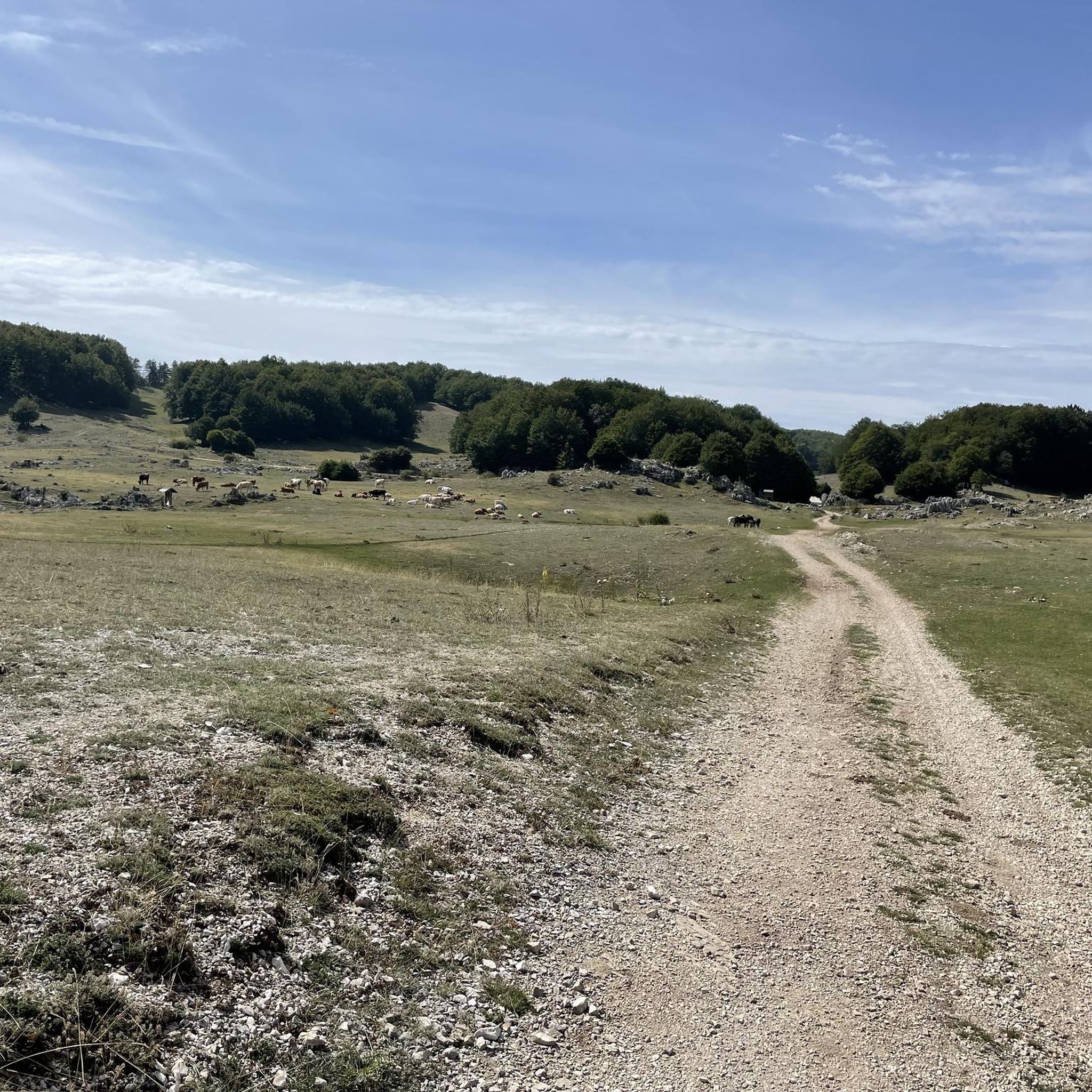
Tips from the Community

Cima di Vallevona (1,818 m) is the highest peak in the Carseolani Mountains, a subrange of the Abruzzo Apennines located between Abruzzo and Lazio. The most common route to the summit starts from the Sanctuary of Santa Maria dei Bisognosi, but it can also be reached from Pereto and Camerata Nuova. Less common, but equally fascinating, is the route starting from Marsia, in the municipality of Tagliacozzo.
2
0

Managed mountain refuge, it is possible to stay overnight and eat: call only via WhatsApp which the phone does not receive.
0
0
The observatory was inaugurated on 5 July 2008 and is managed by the astrophile associations ASTRIS and ATA
0
0

Cervara di Roma is an Italian town in the province of Rome, Lazio region, with 472 inhabitants. This picturesque village is located in a charming and secluded setting, in the mountains of Lazio.
1
0

These are the ruins of the ancient town of Camerata which was destroyed in 1881 by a fire. A very suggestive place with stone houses set and built into the rock. Among the ruins stands out a majestic arch carved into the rock dating back to the 16th century. It is worth taking a walk here from Camerata Nuova to take a step back in time.
4
0

Cervara di Roma is located in the Monti Simbruini Natural Park and is a suggestive perched village 70 kilometers from the capital.
3
0

Leave the bikes at the foot of the ruins and climb up to the maximum height on foot. It is absolutely worth it !!!
1
0
Frequently Asked Questions
What kind of terrain can I expect when hiking around Rocca Di Botte?
The region around Rocca Di Botte, nestled in the Simbruini Mountains, features diverse terrain. You'll encounter forested slopes, open plains, and areas with historical ruins. The trails often lead through dense woodlands and offer mountainous sections, providing a varied hiking experience.
Are there easy hiking trails suitable for beginners or families in Rocca Di Botte?
Yes, Rocca Di Botte offers a good selection of easy trails. There are 29 easy routes available, perfect for those looking for a less strenuous walk or for families with children. An example of an easy route is the La Locanda dell'Orso – Cervara di Roma loop from Locanda dell'Orso, which is about 6.6 km long.
What are some unique natural attractions or landmarks to see while hiking in the area?
Hikers can discover several natural attractions and landmarks. Notable natural features include the Monte Autore Summit and Monna dell'Orso. You might also encounter the Rioscuro Stream Waterfalls, offering a refreshing sight along some paths.
Are there any circular hiking routes available in Rocca Di Botte?
Many of the trails around Rocca Di Botte are designed as loops, allowing you to start and end in the same location. For example, the Ruins of Camerata Vecchia – Plain of the Simbruini Mountains loop from Camerata Nuova is a popular moderate circular route exploring historical ruins and mountain views.
What is the best season for hiking in Rocca Di Botte?
The Simbruini Mountains, where Rocca Di Botte is located, are generally best for hiking from spring through autumn. Spring brings wildflowers and milder temperatures, while autumn offers vibrant foliage. Summer is also popular, especially for higher altitude trails, though some lower routes might be warm. Winter hiking is possible but requires appropriate gear and awareness of snow conditions.
What do other hikers say about the trails in Rocca Di Botte?
The trails in Rocca Di Botte are highly regarded by the komoot community, with an average rating of 4.5 stars from over 1100 reviews. Hikers often praise the varied terrain, the historical ruins, and the extensive network of trails that cater to different ability levels.
Are there any trails that pass by historical ruins or sites?
Yes, the region is known for its historical ruins. Several routes incorporate these sites, such as the Ruins of Camerata Vecchia – Rifugio Camposecco loop from Camerata Nuova, which leads through ancient ruins and towards a mountain refuge.
How many hiking routes are there in total around Rocca Di Botte?
There are approximately 178 hiking routes available around Rocca Di Botte, offering a wide range of options for different skill levels and preferences.
Are there any challenging or difficult hikes for experienced trekkers?
Yes, for experienced trekkers seeking a challenge, there are 42 difficult routes in the area. An example is the Prato dei frati – Cima la Torretta loop from Pereto, which is a demanding 16.5 km path with significant elevation gain, leading through meadows to a prominent peak.
What is the typical duration for a moderate hike in Rocca Di Botte?
Moderate hikes in Rocca Di Botte can vary in length and duration. For instance, the Ruins of Camerata Vecchia – La Locanda dell'Orso loop from Camerata Nuova is a moderate route of about 12.8 km, typically completed in around 4 hours 15 minutes.
What kind of wildlife or plant life might I encounter?
The dense woodlands and mountainous terrain of the Simbruini Mountains provide a habitat for various flora and fauna. While specific sightings are never guaranteed, you might encounter typical Apennine wildlife and a rich diversity of plant species, especially during spring and summer.
Most popular routes around Rocca Di Botte
Most popular attractions around Rocca Di Botte

Get inspired with the komoot mobile app


Explore more
Browse the best Hikes in other regions.
