The best road cycling routes around Cervara Di Roma
4.3
(73)
2,210
riders
48
rides
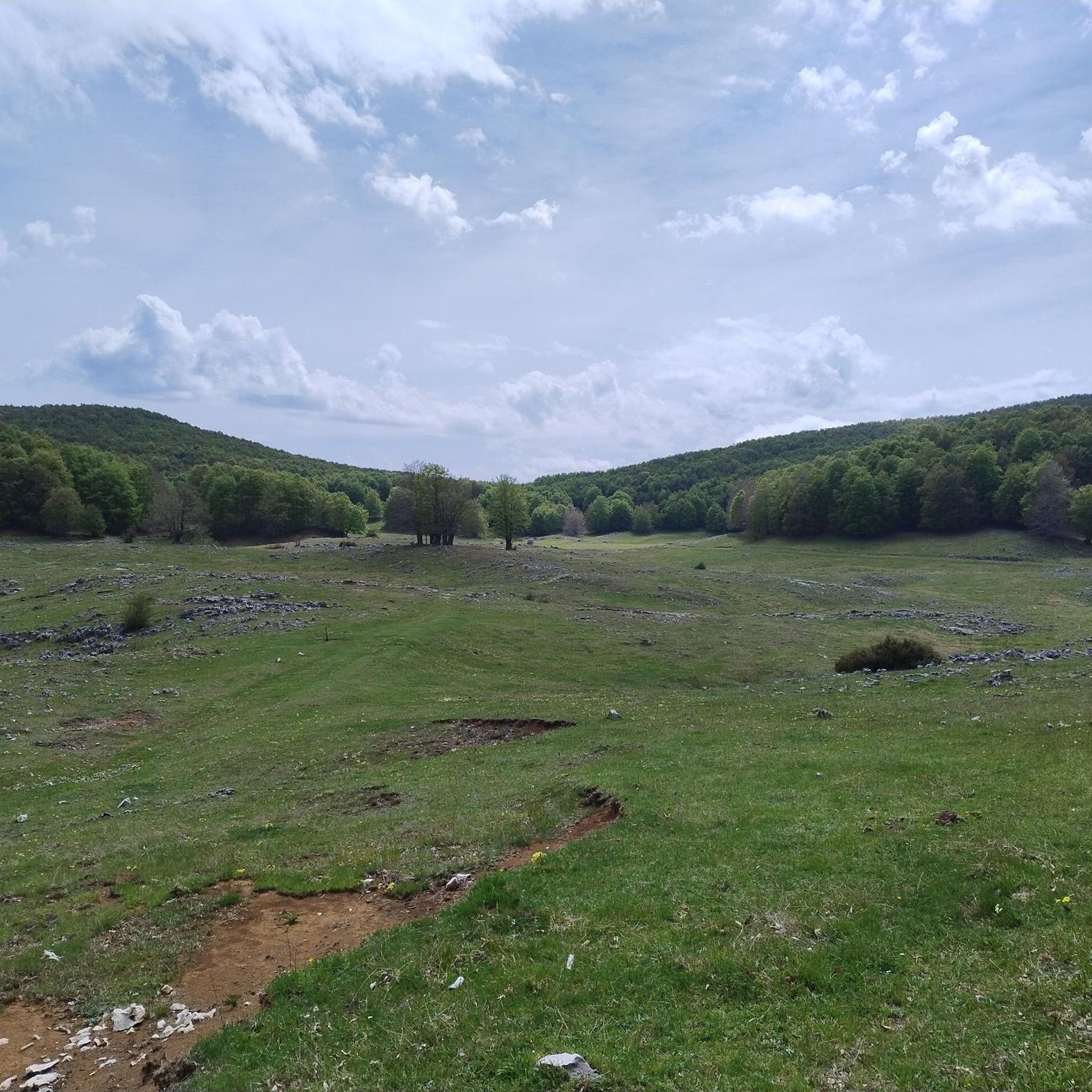
Road cycling routes around Cervara Di Roma traverse a landscape characterized by the rugged terrain of the Apennine mountains, offering significant elevation changes. The region features dense woodlands, river valleys, and scenic views of natural parks. Road cyclists can expect challenging climbs and descents through varied topography.
Best road cycling routes around Cervara Di Roma
- The most popular road cycling route is Subiaco and Lake Turano Loop, a 75.8 miles (122.0 km) trail that takes 6 hours 16 minutes…
Last updated: August 29, 2026
5.0
(1)
58
riders
114km
05:54
2,030m
2,030m
Hard road ride. Very good fitness required. Mostly well-paved surfaces and easy to ride.
5.0
(1)
24
riders
117km
06:49
2,350m
2,350m
Hard road ride. Very good fitness required. Some segments of this route may be unpaved and difficult to ride.

Sign up for free
17
riders
63.6km
03:06
940m
940m
Hard road ride. Very good fitness required. Mostly well-paved surfaces and easy to ride.
4.0
(1)
19
riders
39.9km
01:41
300m
300m
Moderate road ride. Good fitness required. Mostly well-paved surfaces and easy to ride.
14
riders
34.1km
01:43
490m
490m
Moderate road ride. Good fitness required. Mostly well-paved surfaces and easy to ride.
Get access to more routes and recommendations from other explorers.
Sign up for free
Already have an account?
Our route recommendations are based on thousands of hikes, rides, and runs completed by other people on komoot.
Start today with a free account
Your next adventure awaits.
Login or Signup

Other adventures around Cervara Di Roma

Tips from the Community

view of Borgo Antuni (for guided tours www.camminandocon.org)
0
0


Of course, it can also be done easily on a road bike with 28" tires and up.
0
0

wonderful, suitable for gravel bikes
0
0

The plateau is beautiful, but the buildings are much less so, often dilapidated, an example of the building outrage of the seventies.
3
0

Lago del Salto is a small but successive artificial lake near Rieti whose circumference is about 32 km of asphalted and mostly flat road. A wonderful route to do by bike, even with the family, taking into account both the low car traffic and the good condition of the road surface perfectly passable with MTB, GRAVEL, City Bike, Racing bike etc. and the beautiful naturalistic views of the lake and the mountains. Along the route there are several rest areas where you can rest and eat a sandwich, but there is also a bar with a beautiful view near the dam. Also along the route you will encounter the town of Fiumata, diametrically opposite the dam, and the town of Borgo San Pietro, halfway between Fiumata and the dam, this is the ideal starting point thanks to the large spaces available for parking cars, but above all for the numerous restaurants with a view of the lake, open all year round and offering excellent local dishes, ideal to enjoy especially after a nice ride like this. For those who want to make the undertaking more challenging there is the variant that passes through Varco Sabino and then through the town of Rigatti, the tour is extended by a total of 10 km, testing a truly challenging climb and descent. Definitely worth trying.
0
0

The river Aniene passes underneath it
1
0
I continue with the comment: so I was saying, Fiumata is diametrically opposite to the Dam, from this last refreshment point equipped with barxexristora you return to Borgo San Pietro and conclude the tour, refreshing yourself and tasting one of the many dishes of the local cuisine. A beautiful and fun tour, but also challenging if you decide to deviate towards Varco Sabino and then Rigatti before returning to the lakeside, extending the route by about 10 km. 100% recommended
0
0
Frequently Asked Questions
How many road cycling routes are available in Cervara Di Roma?
Cervara Di Roma offers a diverse network of nearly 40 road cycling routes. These routes cater to various skill levels, including easy, moderate, and difficult options, ensuring there's something for every cyclist.
What is the general difficulty level for road cycling in Cervara Di Roma?
Road cycling in Cervara Di Roma is characterized by the rugged terrain of the Apennine mountains, featuring significant elevation changes. While there are 4 easy and 11 moderate routes, the majority (24) are classified as difficult, involving challenging climbs and descents through varied topography.
Are there road cycling routes suitable for beginners in Cervara Di Roma?
Yes, Cervara Di Roma does offer some options for beginners. There are 4 routes specifically categorized as easy, providing a less strenuous introduction to the region's road cycling. These routes typically feature gentler gradients and shorter distances.
What kind of challenges can advanced road cyclists expect in Cervara Di Roma?
Advanced road cyclists will find plenty of challenges in Cervara Di Roma. The region is known for its mountainous terrain and significant elevation gains. Routes like the Subiaco - Monte Livata Loop feature substantial climbs, offering panoramic mountain vistas and demanding ascents through natural park landscapes.
Are there any circular road cycling routes in the area?
Yes, many of the road cycling routes in Cervara Di Roma are designed as loops, allowing you to start and finish in the same location. Examples include the Subiaco and Lake Turano Loop, which offers extensive views, and the Monti Simbruini Park Loop, traversing diverse landscapes.
What are some scenic viewpoints or natural attractions along the road cycling routes?
The road cycling routes in Cervara Di Roma pass through areas rich in natural beauty. You can encounter stunning views from peaks like Monte Autore Summit and Monna dell'Orso. The routes also traverse dense woodlands, river valleys, and offer scenic views of natural parks, including the Simbruini Mountains Regional Park.
Can I find any waterfalls along the road cycling routes in Cervara Di Roma?
Yes, some routes in the vicinity of Cervara Di Roma may lead you close to natural water features. For example, the Rioscuro Stream Waterfalls are a notable natural monument in the area that could be explored as part of a cycling tour or a short detour.
What do other cyclists say about road cycling in Cervara Di Roma?
The road cycling routes in Cervara Di Roma are highly regarded by the komoot community, holding an average rating of 4.4 stars from over 50 reviews. Cyclists often praise the challenging ascents, the stunning natural park landscapes, and the varied terrain that defines the region's cycling experience.
What is the typical length of road cycling routes around Cervara Di Roma?
The lengths of road cycling routes in Cervara Di Roma vary significantly. You can find shorter, more intense climbs like the From Subiaco to Carsoli – loop tour at around 43 miles (70 km), or longer, more extensive tours such as the From Subiaco to Tivoli – loop tour, which covers over 65 miles (105 km).
Is public transport available to access road cycling routes in Cervara Di Roma?
Access to Cervara Di Roma and its surrounding areas by public transport can be limited, especially for reaching specific route starting points in the more remote mountainous regions. It's advisable to check local bus schedules or consider driving to a suitable starting point, particularly if you plan to tackle routes deep within the Apennine mountains.
Where can I find parking for road cycling routes in Cervara Di Roma?
Parking availability in Cervara Di Roma and nearby towns like Subiaco, which serve as common starting points for many routes, typically includes public parking areas. When planning your ride, look for designated parking zones in the main villages or near popular trailheads. Always ensure you park responsibly and legally.
What is the best season for road biking in Cervara Di Roma?
The best seasons for road biking in Cervara Di Roma are generally spring and autumn. During these periods, the weather is typically milder, with pleasant temperatures and less extreme heat than summer, and clearer skies than winter. This allows for more comfortable riding, especially on routes with significant elevation changes.
Are there any family-friendly road cycling routes in Cervara Di Roma?
While many routes in Cervara Di Roma are challenging due to the mountainous terrain, there are 4 easy routes that could be more suitable for families or those looking for a less strenuous ride. These routes will have gentler gradients and shorter distances, making them more accessible for a family outing.
Most popular routes around Cervara Di Roma
Most popular attractions around Cervara Di Roma

Get inspired with the komoot mobile app


Explore more
Browse the best Road cycling routes in other regions.
