The best gravel rides around Cervara Di Roma
4.3
(3)
71
riders
6
rides
Gravel biking around Cervara Di Roma offers access to the Monti Simbruini Regional Natural Park, a vast protected area known for its diverse landscapes. The region features high-altitude gravel roads, extensive beech forests, and varied terrain including dirt roads and technical sections. Perched on a cliff, Cervara Di Roma provides panoramic views over the Aniene Valley, with surrounding mountains contributing to challenging climbs. This mix of surfaces and elevations makes the area suitable for experienced gravel cyclists seeking rugged beauty.
…Last updated: May 24, 2026
8
riders
68.6km
06:28
1,690m
1,690m
Hard gravel ride. Very good fitness required. Mostly paved surfaces. Suitable for all skill levels.
3.0
(1)
11
riders
43.1km
04:20
1,110m
1,100m
Hard gravel ride. Very good fitness required. You may need to push your bike for some segments of this route.

Sign up for free
9
riders
24.4km
02:00
560m
560m
Hard gravel ride. Very good fitness required. Mostly paved surfaces. Suitable for all skill levels.
14
riders
88.7km
06:33
2,070m
2,070m
Hard gravel ride. Very good fitness required. Mostly paved surfaces. Suitable for all skill levels.
2
riders
39.8km
03:50
1,110m
1,110m
Hard gravel ride. Very good fitness required. Mostly paved surfaces. Suitable for all skill levels.
Our route recommendations are based on thousands of hikes, rides, and runs completed by other people on komoot.
Start today with a free account
Your next adventure awaits.
Login or Signup
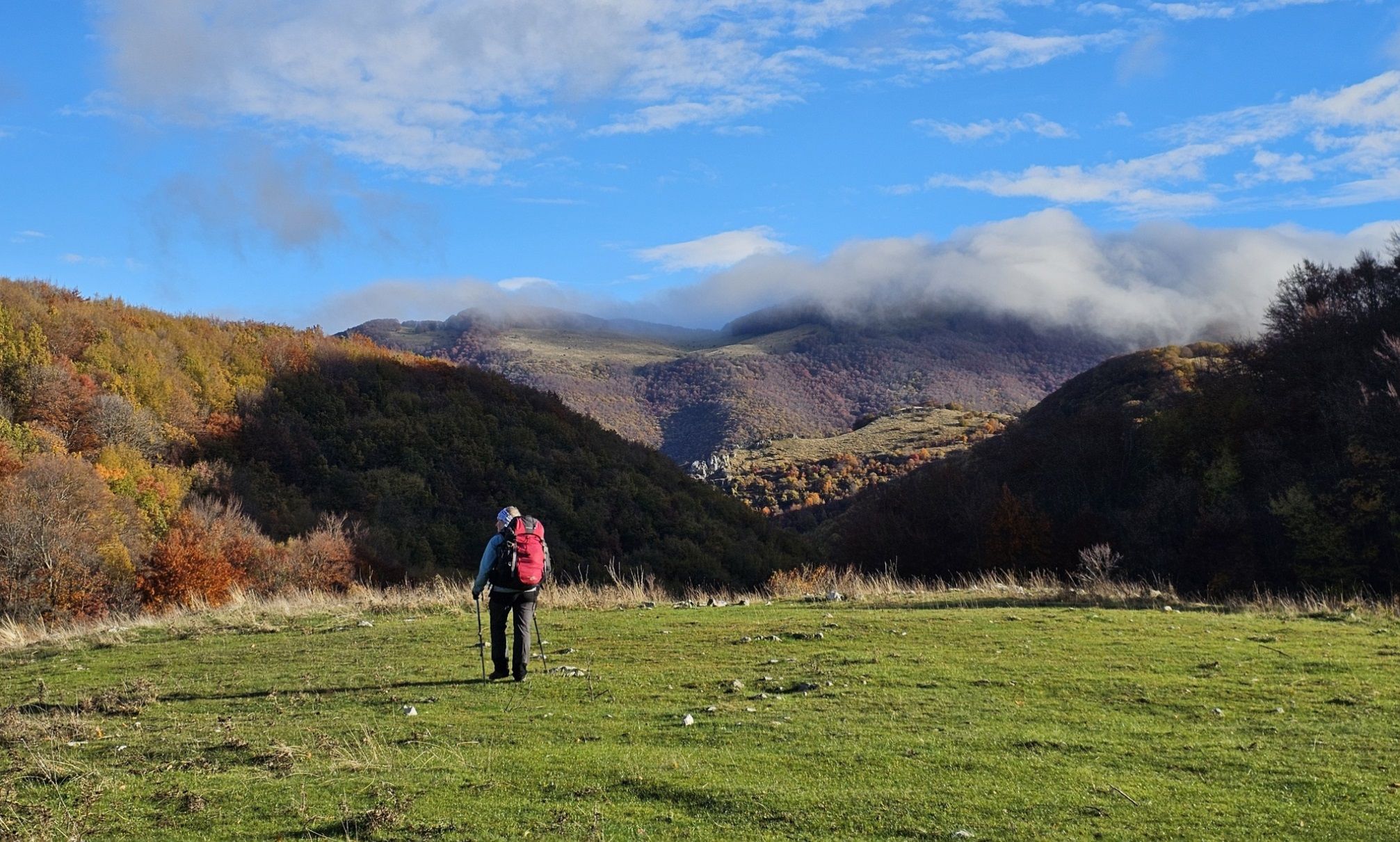
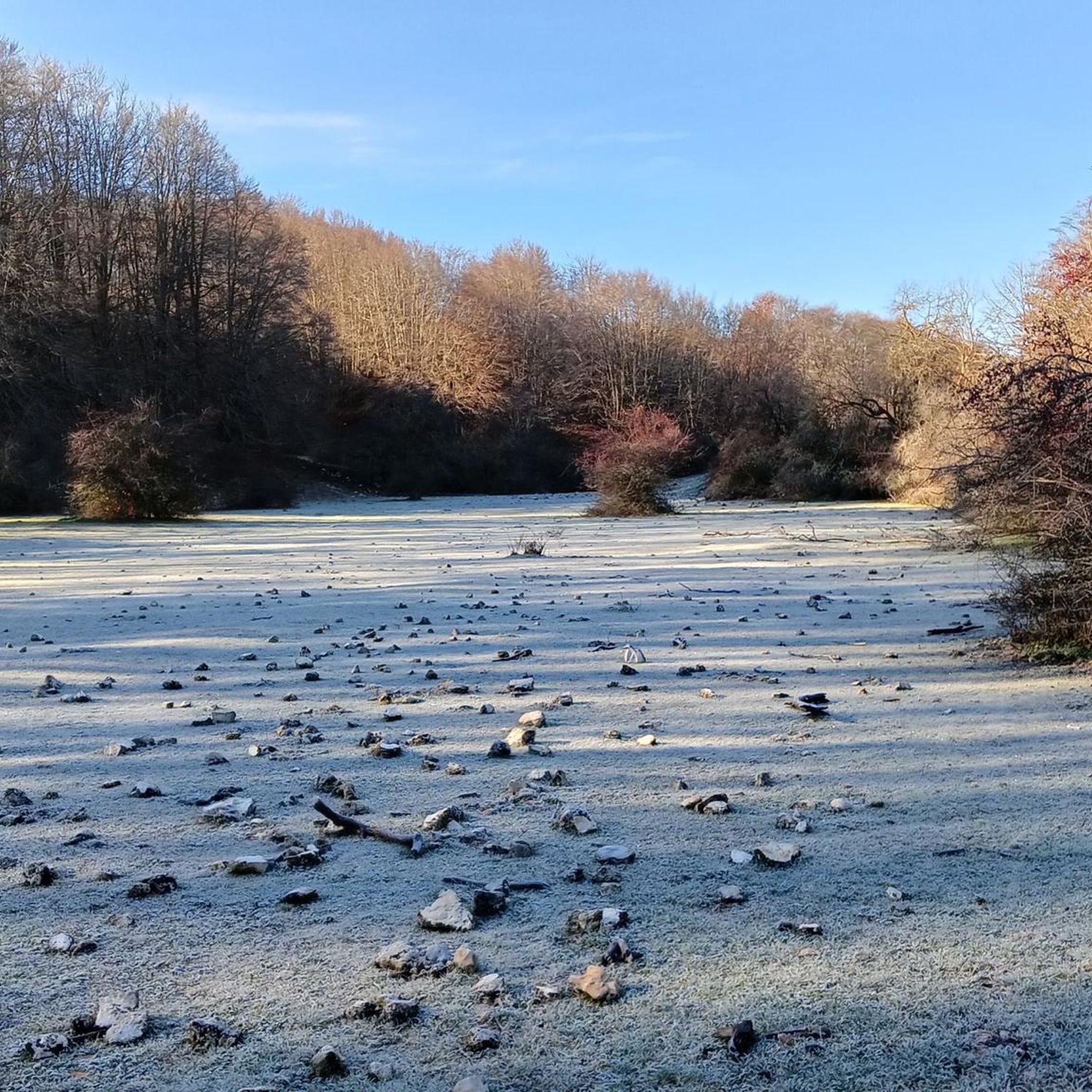
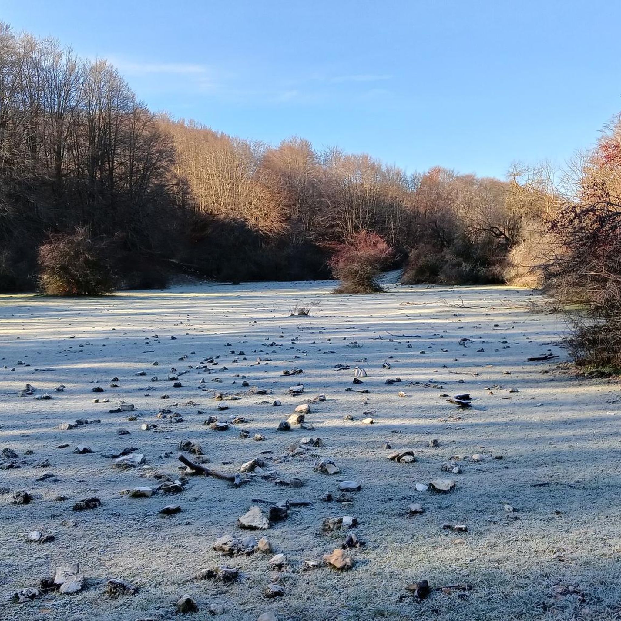
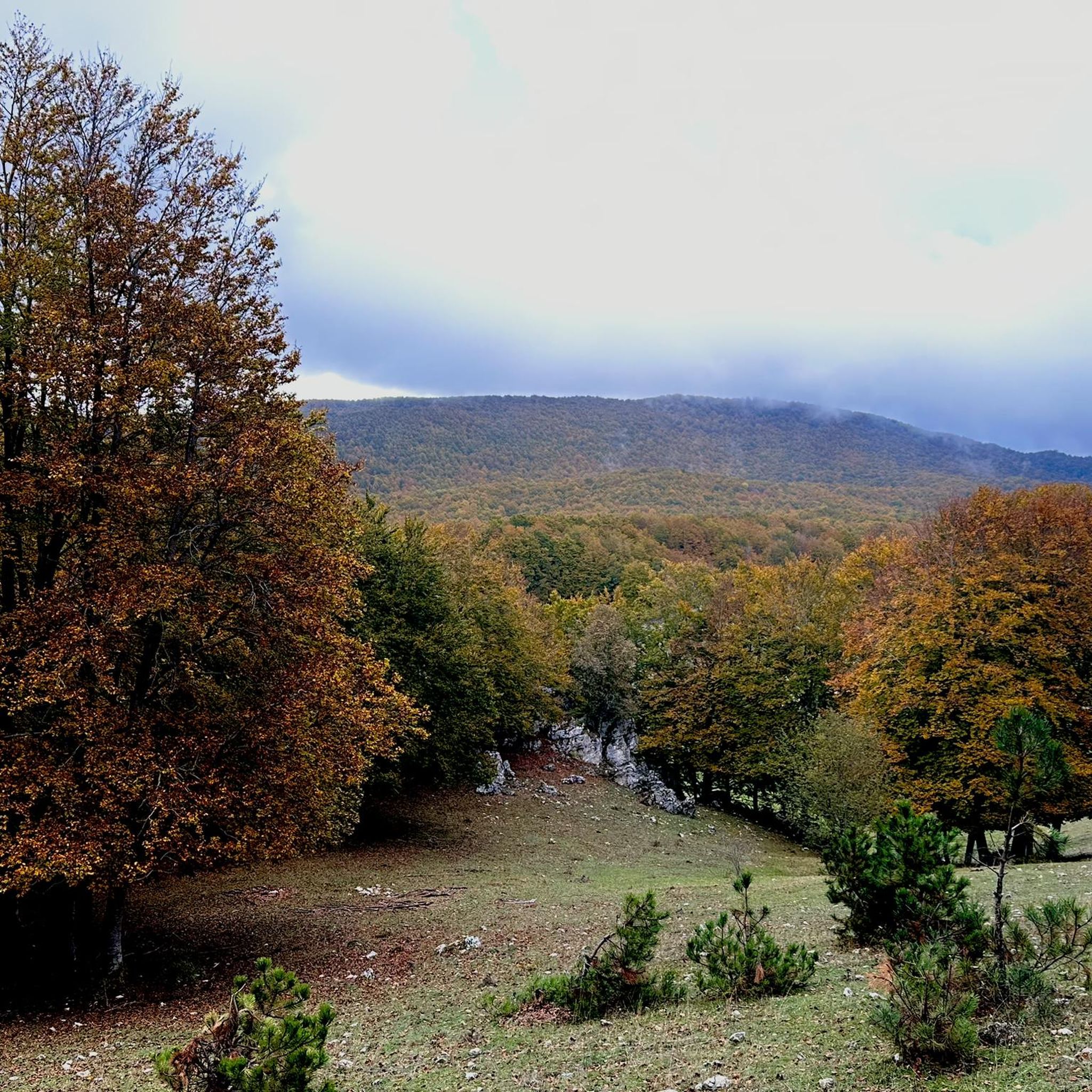
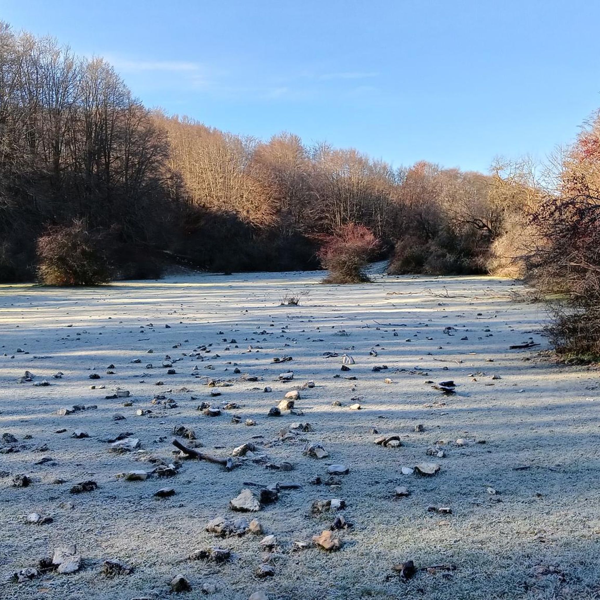
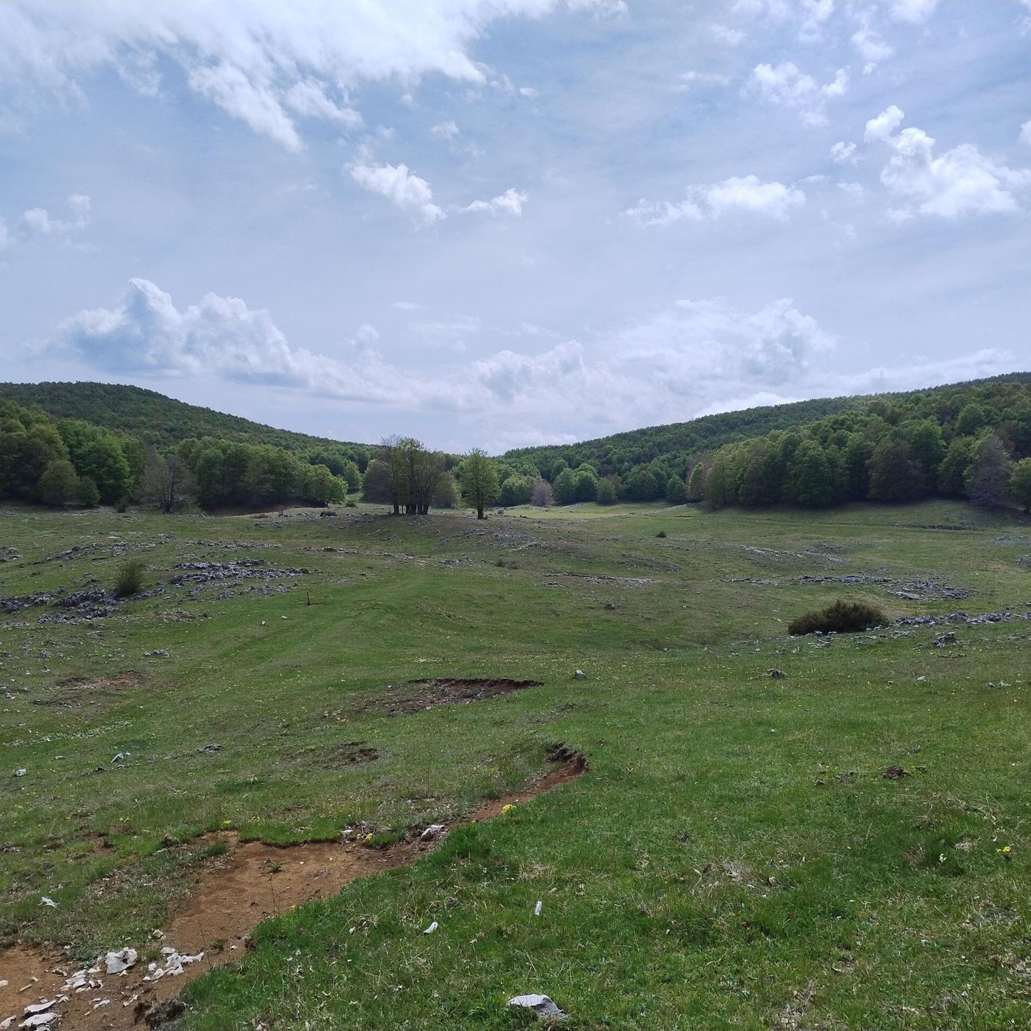
Other adventures around Cervara Di Roma

Tips from the Community

Panoramic point at about 1750 meters above sea level, important crossroads for singletrack
0
0

Starting from Campo dell'Osso, at an altitude of 1,750 meters, amid cool beech forests and silence broken only by the sound of tires on the ground. After a short initial stretch on a mixed trail, we immediately enter the heart of Cannavacciari, one of the most evocative trails in the Simbruini Mountains Natural Park. The trail winds steadily downhill, technical yet fluid, for 6.2 km, reaching Campo Secco at 1,340 meters. The elevation gain is significant—about 410 meters—but the varied terrain makes it fun and never boring. Fast sections alternate with tight curves, passages over roots, rocks, and some counter-slopes of up to 19%, reminding us that even on descents, you need to be strong. Every curve offers glimpses of the forest, shady sections, and the scent of pristine nature. The Cannavacciari trail has a touch of the ancient past: it's said to have been a link once used by charcoal burners and shepherds, and today it's beloved by mountain bike enthusiasts for its wild and authentic feel. The trail isn't always marked, so GPS is strongly recommended. Once you reach Campo Secco, an intense experience comes to an end, where every meter has been earned with technique and attention. A must for those who love natural, uncontrived enduro.
0
0
Descending through a beautiful beech forest from the SS Trinità parking lot, you reach the Cippi Papalini. Two centuries ago, they were the border between the Kingdom of the Two Sicilies and the Papal States, now Abruzzo and Lazio. We are also at the intersection of the three provinces of Rome, L'Aquila, and Frosinone.
0
0
The Simbruini Mountains plateau is a crossroads for interesting and varied trails. Cycling on this plateau, you can take advantage of its connection to a wide variety of destinations, including Livata, Campaegli, Vedute, Cervara, and Fioio. The only drawback is the lack of fountains.
0
0
Beautiful climb among the beech trees from Campo Lungo to the Maddalena Refuge on Monte Morbano
0
0
A wonderful mountain corner in the heart of the Apennines
0
0

Hello everyone, I can only tell you that it was a lucky excursion for a great running event on all the paths of Campo dell'Osso up to Monte Autoro, a beautiful trial marathon with many participants. Just the day, cool and sunny, perfect day
0
0

At the end of the dirt road that starts from Campo Minnio you arrive at the panoramic point Le Vedute with a view of Monte Tarino, Monte Viglio and the Santissima Trinità
0
0
Frequently Asked Questions
What kind of terrain can I expect on gravel bike trails around Cervara Di Roma?
The region offers diverse terrain ideal for gravel biking, including high-altitude gravel roads, dirt roads, and mixed trails. You'll encounter sections with technical descents, turns, roots, and rocks, particularly within the Monti Simbruini Regional Natural Park. The area is known for its rugged beauty and varied surfaces.
Are there any easy or beginner-friendly gravel bike routes in Cervara Di Roma?
The gravel biking routes around Cervara Di Roma are primarily designed for experienced riders. All available routes are rated as 'difficult' due to significant elevation changes and varied terrain. There are no easy or moderate routes listed in this guide.
What are some notable natural features or viewpoints along the gravel routes?
Cervara Di Roma itself is perched on a cliff, offering panoramic views over the Aniene Valley. Many routes traverse the Monti Simbruini Regional Natural Park, known for its extensive beech forests and mountainous terrain. You can find stunning vistas along routes like the Campo Minio – Monte Autore Viewpoints loop from Campaegli, which leads to scenic viewpoints.
Can I find any cultural or historical attractions near the gravel biking trails?
Yes, Cervara di Roma is a medieval village with cultural attractions. It features an open-air museum of sculptures and murals, including the 'Scalinata degli Artisti' (Staircase of Artists). Additionally, you might encounter historical sites like the Villa of Nero Ruins or the Old Mill of Jenne, which are highlights in the broader area.
How long do the gravel bike routes typically take to complete?
The duration of routes varies significantly based on distance and elevation. For example, the Prato di Camposecco – From Le Vedute to I Miceti loop from Cervara di Roma is about 39.9 km and takes approximately 4 hours 27 minutes, while the longer Campaegli scenic viewpoint – Ascent to Monte Livata loop from Roviano, at 88.7 km, can take around 7 hours 52 minutes.
What is the best time of year for gravel biking in Cervara Di Roma?
The Monti Simbruini Regional Natural Park, where Cervara Di Roma is located, offers outdoor activities in all seasons. However, given the high-altitude gravel roads and mountainous terrain, spring and autumn generally provide the most pleasant temperatures and conditions for gravel biking. Summers can be warm, and winters may bring snow to higher elevations, impacting trail accessibility.
Are there any circular gravel bike routes available?
Yes, several routes in the area are circular. For instance, the View of Pereto and the Castle – Border of the Papal State loop from Oricola is a challenging 68.7 km loop. Another option is the View of Pereto and the Castle – Piana di Campocatino loop from Pereto, which is a 43.1 km loop through mountainous terrain.
What do other gravel bikers say about the trails in Cervara Di Roma?
The gravel biking routes around Cervara Di Roma are highly rated by the komoot community, with an average score of 4.0 stars. Over 70 gravel bikers have used komoot to explore the varied terrain, often praising the challenging nature and the stunning natural landscapes of the Monti Simbruini Regional Natural Park.
Are there specific mountain peaks or passes I might encounter on these routes?
Yes, the region is characterized by mountainous terrain with peaks exceeding 2000 meters. You might encounter highlights such as the Monte Autore Summit, Monna dell'Orso, or Passo delle Pecore. The Ascent to Monte Livata is also a notable climb in the area.
Is Cervara Di Roma accessible by public transport for cyclists?
While Cervara Di Roma is nestled in a natural park, public transport options can be limited. For detailed information on reaching the area by public transport, especially with a bike, it's advisable to consult local transport schedules or the official tourism website for the region: visitlazio.com.
Are there any specific permits required for gravel biking within the Monti Simbruini Regional Natural Park?
The Monti Simbruini Regional Natural Park is a protected area. While general access for activities like hiking and biking is usually permitted, it's always best to check with the park authority for any specific regulations or permits that might apply to certain trails or activities, especially for organized events or larger groups. No specific permit requirements for individual gravel biking are mentioned in this guide.
What other outdoor activities are popular in the Monti Simbruini Regional Natural Park besides gravel biking?
Beyond gravel biking, the Monti Simbruini Regional Natural Park is excellent for a range of outdoor pursuits. Enthusiasts can enjoy horse riding, mountain biking, and hiking on numerous trails. In winter, the nearby Campaegli area offers opportunities for dog sledding and cross-country skiing.
Most popular routes around Cervara Di Roma
Most popular attractions around Cervara Di Roma

Get inspired with the komoot mobile app


Explore more
Browse the best Gravel rides in other regions.
