The best road cycling routes around Rannungen
4.5
(350)
3,855
riders
258
rides
Road cycling routes around Rannungen traverse the varied landscapes of Lower Franconia, Germany. The region features idyllic paths along the Franconian Saale River, providing easy cycling through its picturesque valley. Cyclists can also access the UNESCO Rhön Biosphere Reserve, known for its gentle mountain slopes, wide valleys, and winding roads suitable for ambitious road cyclists seeking elevation gains. The terrain offers both leisurely rides and challenging routes with considerable elevation changes.
Best road cycling routes around Rannungen
- The most popular…
Last updated: May 20, 2026
3.8
(8)
71
riders
32.9km
01:30
320m
320m
Moderate road ride. Good fitness required. Mostly well-paved surfaces and easy to ride.
4.0
(2)
15
riders
24.0km
01:10
300m
300m
Easy road ride. Great for any fitness level. Mostly well-paved surfaces and easy to ride.

Sign up for free
9
riders
56.2km
02:42
710m
710m
Moderate road ride. Good fitness required. Mostly well-paved surfaces and easy to ride.
9
riders
70.2km
03:03
560m
560m
Moderate road ride. Good fitness required. Mostly well-paved surfaces and easy to ride.
6
riders
29.0km
01:24
370m
370m
Moderate road ride. Good fitness required. Mostly well-paved surfaces and easy to ride.
Get access to more routes and recommendations from other explorers.
Sign up for free
Already have an account?
Our route recommendations are based on thousands of hikes, rides, and runs completed by other people on komoot.
Start today with a free account
Your next adventure awaits.
Login or Signup
Tips from the Community

Roman Catholic Parish Church of the Nativity of Mary - Before the establishment of the parish, Hambach was likely a branch of Maibach. Prince-Bishop Julius Echter von Mespelbrunn had the chancel tower of the church built around 1600 on Romanesque foundations. The nave, originally built with two window bays, was constructed in 1734 and extended by two more window bays in 1928. Two side wings were added between 1988 and 1990. The nave is oriented towards the eastern chancel in the lower level of the church tower. The church tower is built in the Echter style. The walls of the nave are pierced to create transitions to the northern and southern side wings. The church furnishings are Baroque, dating from the time the nave was built. The central figure of the high altar, which, like the side altars, has two columns, is a gilded Madonna and Child. The pulpit depicts the four Evangelists. Next to it, a crucifix from 1952. Wikipedia
0
0
A very pleasant rest area at the Holzhausen/Pfändhausen/Hambach intersection, featuring a cross-bearer. A cross-bearer (also known as a cross-carrying figure or cross-slinger; colloquially called a cross-beater or cross-sleeper[1]) is a depiction of Christ carrying the cross as a freestanding figure. This distinctive form of wayside shrine, which emerged in the 17th century, is particularly widespread in Franconia and is a prominent feature of the landscape, especially in the Catholic dioceses of Bamberg and Würzburg.
0
0

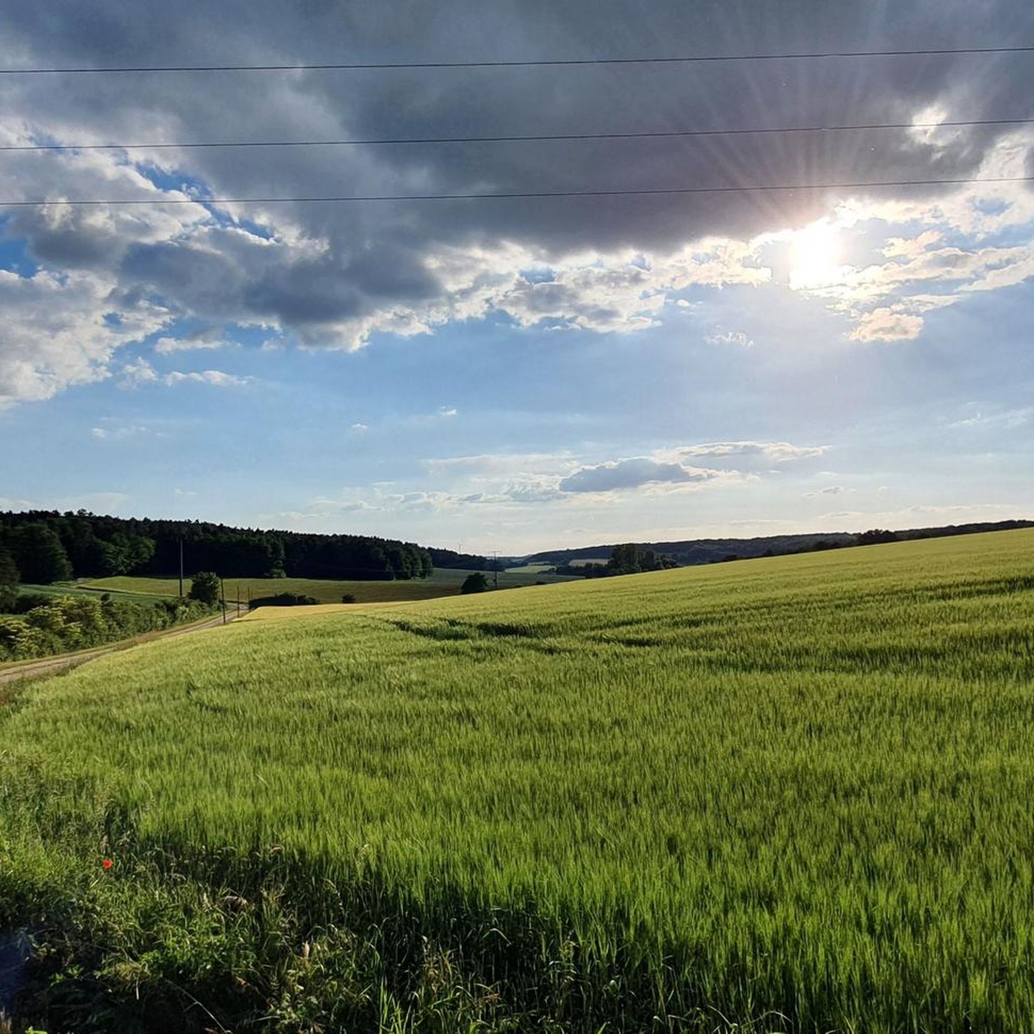
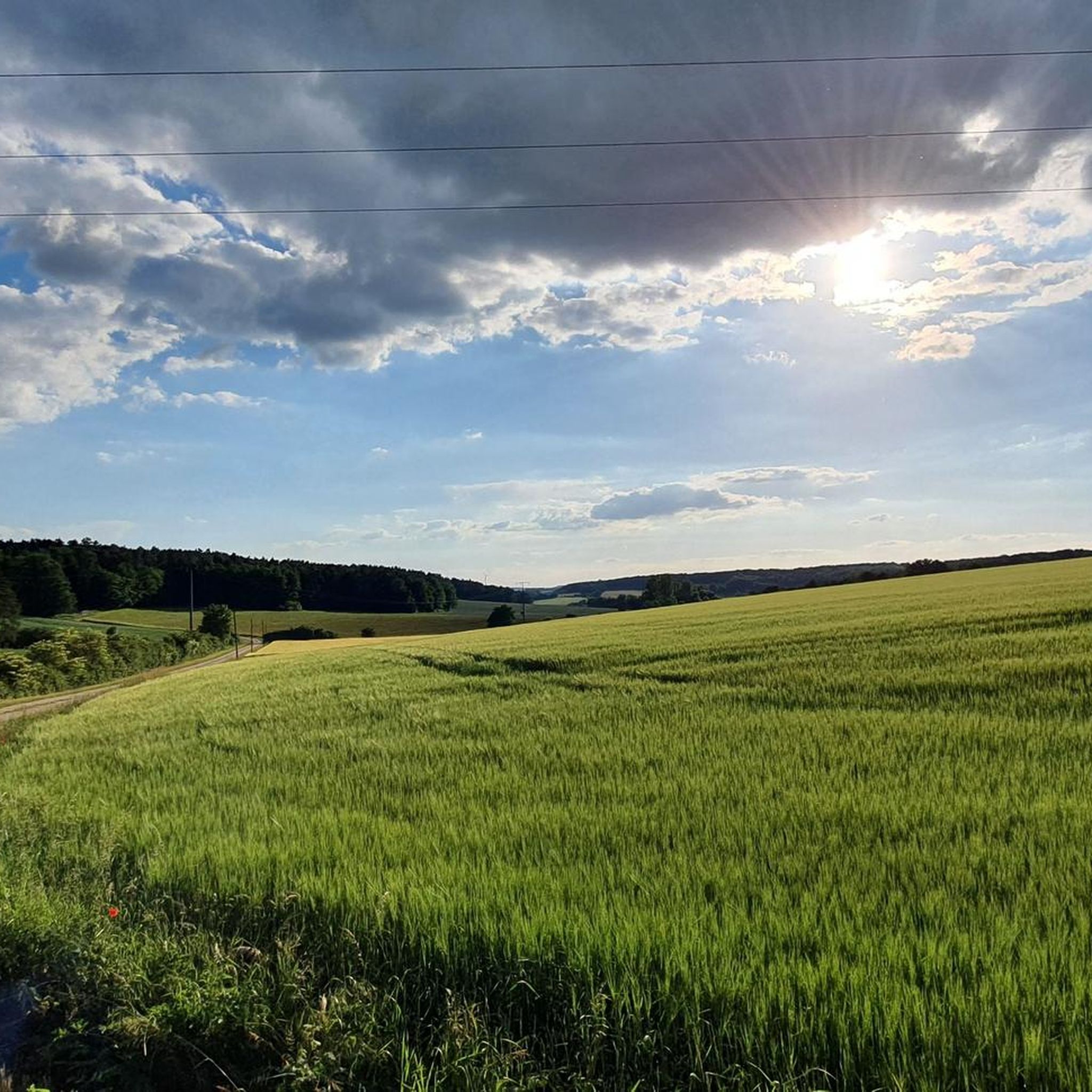
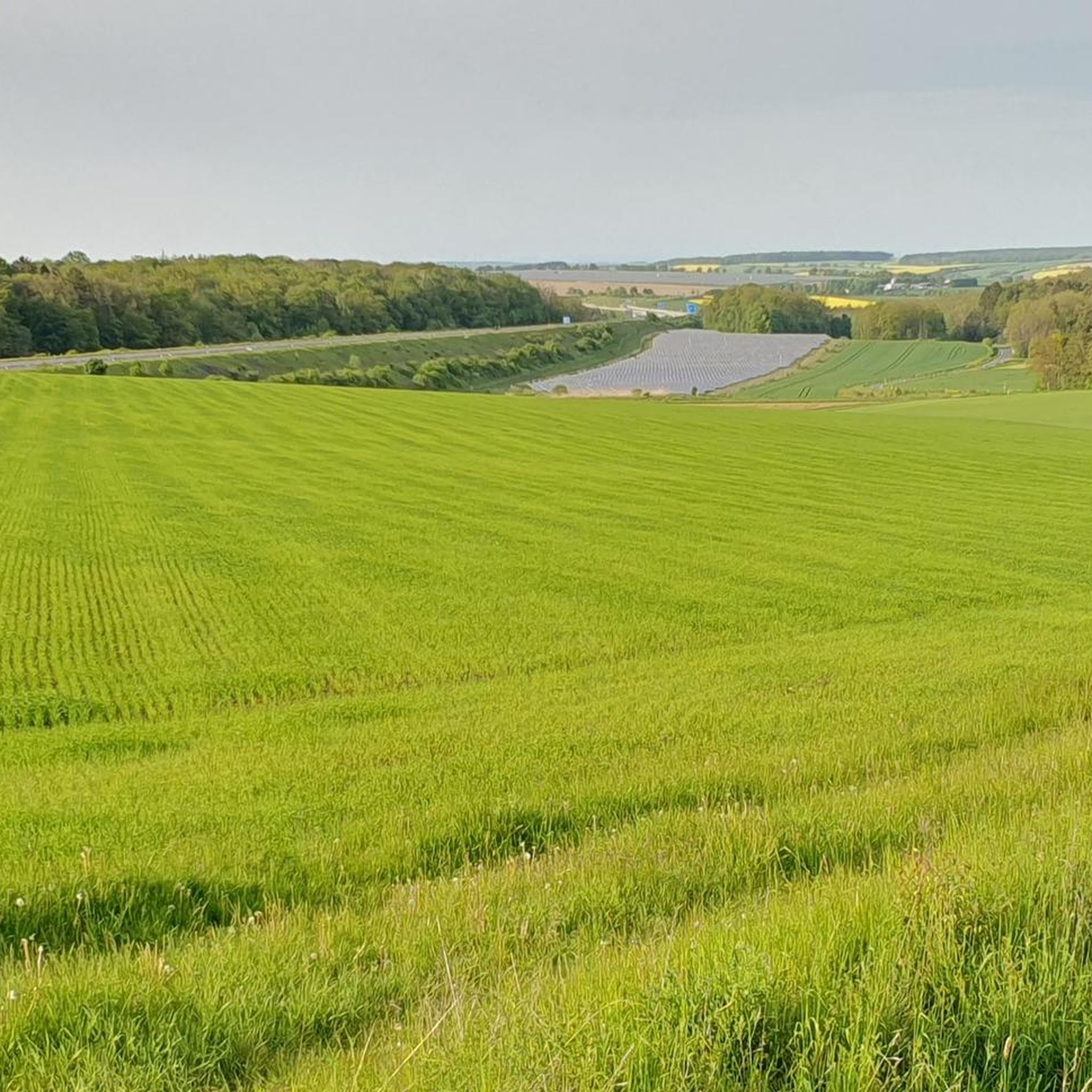
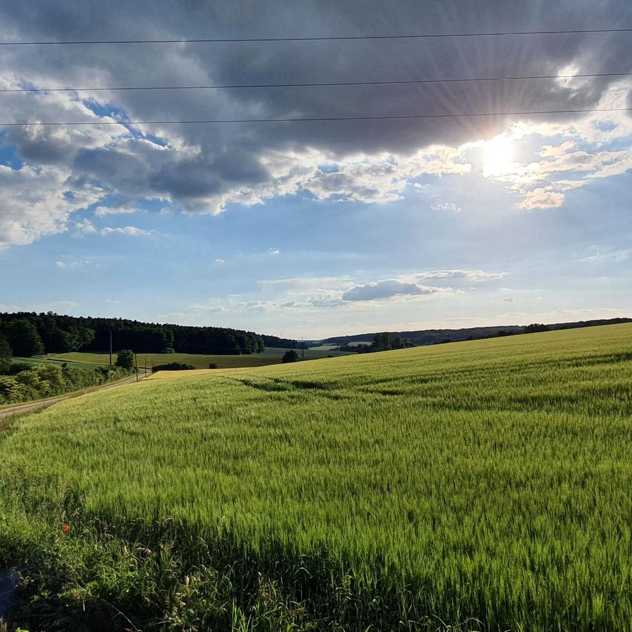
A beautiful bike path without bumps or potholes. With a nice rest area and even bike racks.
0
0
A great bike path in beautiful scenery. No bumps, no potholes, etc. Riding away from traffic is really fun, and you can even pick up some speed. Simply fantastic!
0
0

Beautiful half-timbered house in Greßthal. A photo stop is almost obligatory!
0
0

Seating area with very interesting information boards at the Wern
3
0
Werneck Castle Werneck Castle is a former residence of the Prince-Bishops of Würzburg in the Bavarian market town of Werneck. The Baroque three-winged complex was built between 1731 and 1747 on the orders of Friedrich Karl von Schönborn, based on a design by Balthasar Neumann. During the conversion of the castle into a hospital starting in 1853, all interior rooms except the castle church were destroyed. https://de.wikipedia.org/wiki/Schloss_Werneck
4
1

Parish of St. Michael Ettleben, as the original parish, is one of the oldest parishes in the diocese and, around 900, was the "mother parish" for more than 17 parishes, including Bergrheinfeld, Oberndorf, Röthlein, Schnackenwerth, Werneck, and Zeuzleben. The church received its present appearance through reconstruction in 1899. The former "Echterturm" (literally "real tower") was demolished, and a new choir with two sacristies was built in its place. The nave was extended by about 4 meters, and a new tower was built in front of it. Ettleben was largely destroyed in the Thirty Years' War in 1645 and at the end of World War II in April 1945. The fountain destroyed in the process was rebuilt in 2004.
1
0
Frequently Asked Questions
What kind of terrain can I expect for road cycling around Rannungen?
The region offers a diverse landscape for road cycling. You'll find idyllic paths along the Franconian Saale River, providing easy cycling through its picturesque valley. Additionally, routes extend towards the UNESCO Rhön Biosphere Reserve, known for its gentle mountain slopes, wide valleys, and winding roads that can offer significant elevation gains for more ambitious cyclists. The terrain ranges from leisurely riverside paths to challenging climbs.
How many road cycling routes are available in the Rannungen area?
There are over 260 road cycling routes available around Rannungen, catering to various skill levels. This includes 28 easy routes, 181 moderate routes, and 53 difficult routes, ensuring options for everyone from beginners to experienced cyclists.
Are there easy road cycling routes suitable for beginners in Rannungen?
Yes, Rannungen offers several easy road cycling routes perfect for beginners or those seeking a relaxed ride. An example is the Cycle Path Pfändhausen–Hambach – Marian Grotto Hambach loop from Rannungen, which is 14.9 miles (24.0 km) long with gentle gradients through the local countryside.
What natural features or landmarks can I see while road cycling in Rannungen?
Road cycling routes in Rannungen often pass through scenic areas. You can explore the Franconian Saale River valley or venture towards the Rhön Biosphere Reserve with its blossoming meadows and forests. Nearby attractions include various lakes such as Liebfrauensee Park and Rannunger Lake. You might also encounter interesting geological formations like the Muschelkalk Quarry in Hausener Tal or scenic gorges like Kaskadental.
Are there challenging road cycling routes for experienced cyclists?
Absolutely. While the region offers leisurely rides, the broader area, especially towards the Rhön Biosphere Reserve, presents challenging cycling with considerable elevation changes. Routes like Werneck Palace – View of Pfersdorf loop from Rottershausen, a moderate 43.5 miles (70.0 km) route, offer significant climbs and descents, appealing to those seeking a more rigorous ride.
What is the best time of year for road cycling in Rannungen?
The best time for road cycling in Rannungen is generally from spring to autumn. During these seasons, the weather is most favorable, and the landscapes are vibrant. Spring brings blossoming meadows, while autumn offers beautiful foliage. It's always advisable to check local weather forecasts before heading out.
Are there circular road cycling routes available around Rannungen?
Yes, many road cycling routes in the Rannungen area are designed as loops, allowing you to start and end at the same point. For example, the View of Pfersdorf – Favorite Place Oberes Werntal loop from Rottershausen is a popular moderate circular route covering 20.5 miles (32.9 km) with rolling hills and scenic views.
What do other road cyclists enjoy most about road cycling in Rannungen?
The road cycling routes in Rannungen are highly rated by the komoot community, with an average score of 4.5 stars from over 350 reviews. Cyclists often praise the varied terrain, from gentle river valleys to challenging hilly sections, and the scenic views, particularly those of the Werntal valley and the Franconian Saale River.
Can I find routes that pass through historic villages or offer cultural sights?
Yes, the region's routes, including sections of the Rhön Cycleway, often traverse historic villages with traditional half-timbered buildings. The Thundorf Moated Castle – Cycle Path Pfändhausen–Hambach loop from Rottershausen, for instance, leads through the Franconian Saale River valley, offering glimpses of local heritage.
Are there any routes that offer significant elevation for training?
For cyclists looking for elevation challenges, the routes extending into the Rhön Biosphere Reserve are ideal. These areas feature winding roads and considerable elevation changes. The Sulzthal Serpentines – Knieckelein Viewpoint loop from Rottershausen, a moderate 18.0 miles (29.0 km) route, includes notable climbs and descents, perfect for training.
Are there options for longer road cycling tours that span multiple days?
While individual routes around Rannungen are typically day trips, the region's proximity to the 180 km (111 miles) long Rhön Cycleway provides opportunities for multi-day tours. This major cycleway traverses wide valleys and mountain pastures, offering mostly tarmacked paths suitable for road bikes and can be explored in stages.
Most popular routes around Rannungen
Most popular attractions around Rannungen

Get inspired with the komoot mobile app


Explore more
Browse the best Road cycling routes in other regions.
