The best gravel rides around Rannungen
4.6
(44)
300
riders
40
rides
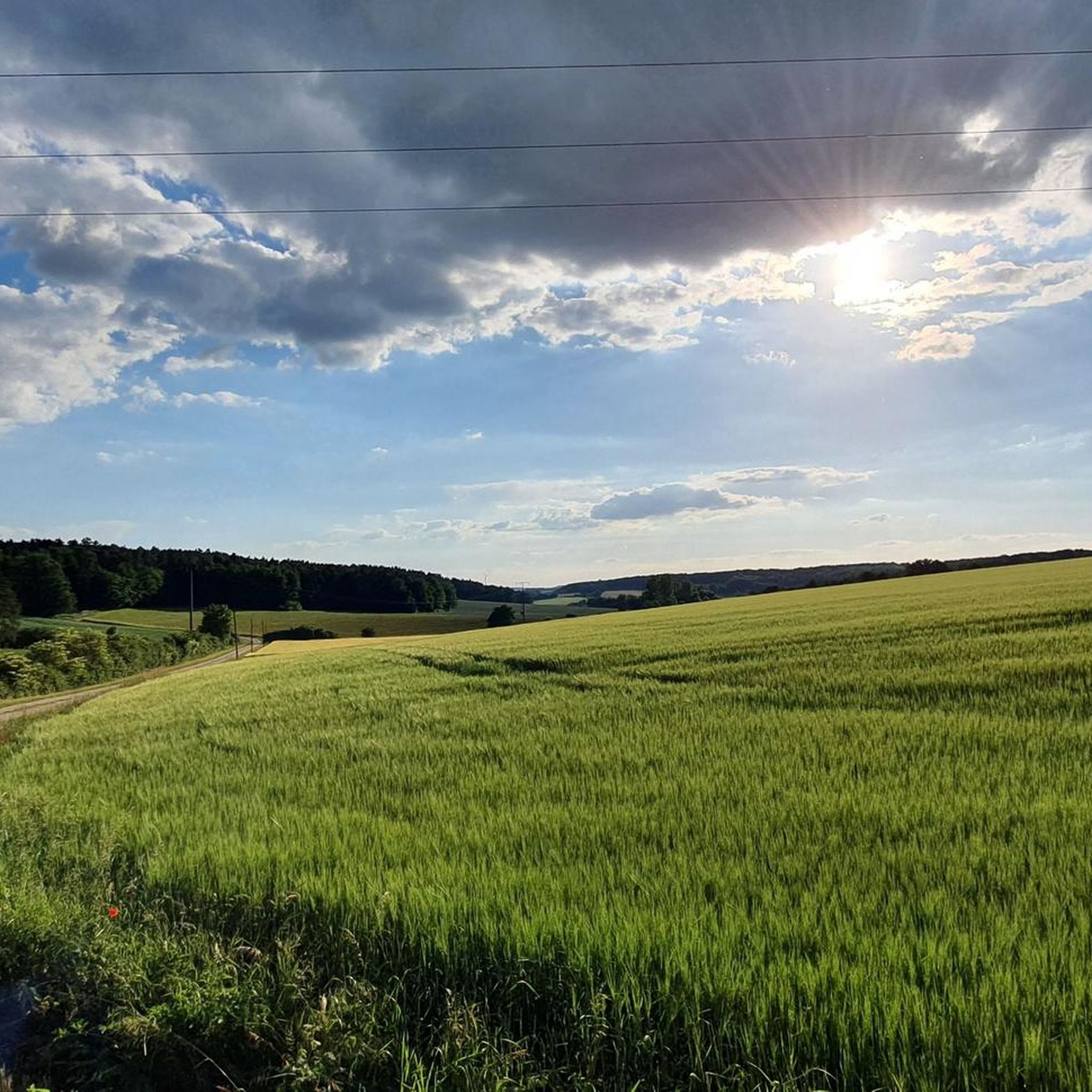
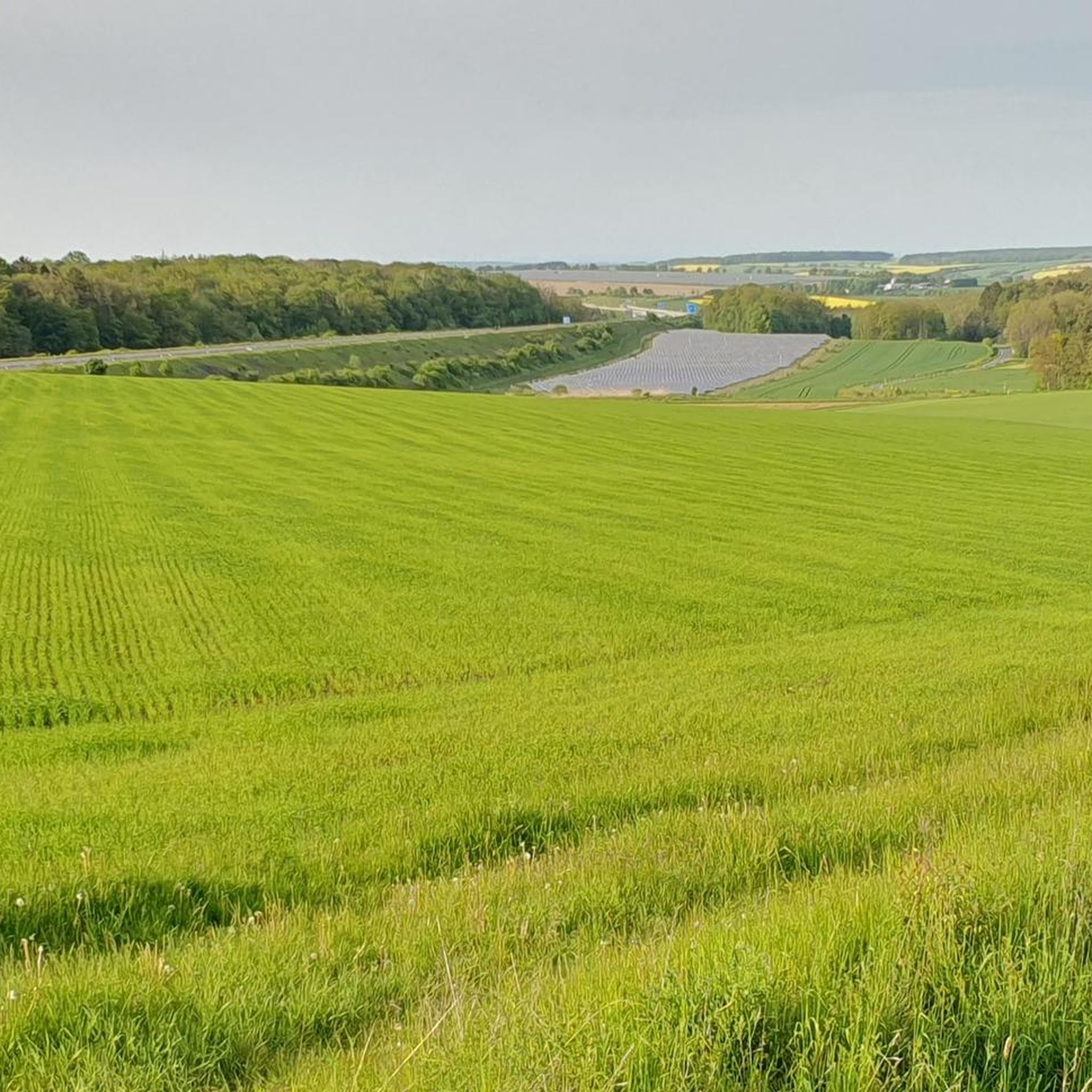
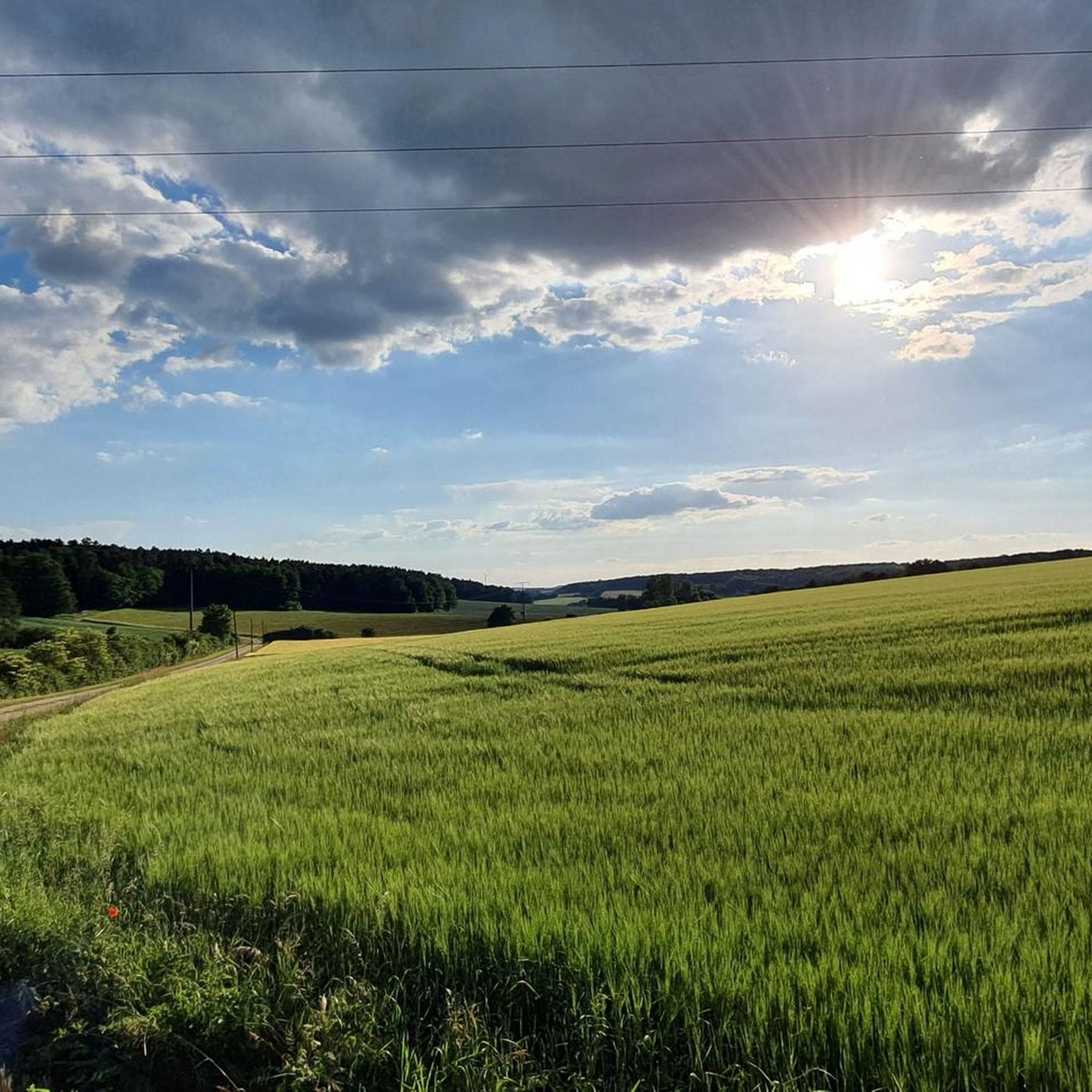
Gravel biking around Rannungen offers routes through a gently rolling, small-scale landscape within the Wern-Lauer-Platten region. This area, situated on a watershed, features undulating hills and varied geological formations, including Muschelkalk and Keuper layers. The terrain provides a mix of ascents, descents, and diverse surfaces suitable for gravel cycling. Panoramic views over scenic areas and nature protection zones are common along the trails, with the Franconian Saale river offering idyllic paths.
Best gravel bike trails around Rannungen
- The most popular…
Last updated: May 21, 2026
4.0
(2)
15
riders
50.5km
03:13
490m
490m
Hard gravel ride. Very good fitness required. You may need to push your bike for some segments of this route.
5.0
(1)
14
riders
45.4km
02:45
460m
460m
Hard gravel ride. Very good fitness required. Mostly paved surfaces. Suitable for all skill levels.

Sign up for free
5.0
(4)
19
riders
27.6km
01:26
200m
200m
Moderate gravel ride. Good fitness required. Mostly paved surfaces. Suitable for all skill levels.
4.0
(1)
7
riders
31.8km
01:56
360m
360m
Moderate gravel ride. Good fitness required. Mostly paved surfaces. Suitable for all skill levels.
5.0
(4)
9
riders
84.2km
05:05
1,240m
1,240m
Hard gravel ride. Very good fitness required. Mostly paved surfaces. Suitable for all skill levels.
Get access to more routes and recommendations from other explorers.
Sign up for free
Already have an account?
Our route recommendations are based on thousands of hikes, rides, and runs completed by other people on komoot.
Start today with a free account
Your next adventure awaits.
Login or Signup
Tips from the Community

Beautiful to look at, no matter from where
0
0

Either you use the bridge, or for the brave among you, ride through the water. Beautiful here and fun
0
0

Beautiful setting, but appearances are deceiving! The stately estate is visibly falling into disrepair.
0
0

This is a great place to take a break; there are seats in front of the hut or in the hut next door, but only a small natural table is available.
0
0

A former military training area with waterholes, numerous hedgerows, and a fair amount of history. The meadows are largely untouched and kept short by sheep, cattle, and horses.
1
0

The Rose Garden is a park in the spa town of Bad Kissingen, known for its approximately 160 rose varieties. The multimedia fountain is a special highlight of the complex. Musical water choreographies take place there daily, and after dark, projector shows are projected onto a screen made of water droplets.
1
0
The trail is fun. Fast, winding, and suitable for beginners.
0
0

It was inaugurated in 2004 and passed its first major test during the floods in January 2011.
0
0
Frequently Asked Questions
What kind of terrain can I expect on gravel bike trails around Rannungen?
The Rannungen area, situated within the Wern-Lauer-Platten region, features a gently rolling, small-scale landscape. You'll encounter undulating hills and varied geological formations, including Muschelkalk and Keuper layers, which provide a mix of ascents, descents, and diverse surfaces ideal for gravel cycling. Many routes offer panoramic views over scenic areas and nature protection zones.
How many gravel bike trails are available in the Rannungen area?
There are over 70 gravel bike trails around Rannungen, offering a wide range of options. These include 2 easy routes, 37 moderate routes, and 37 difficult routes, ensuring there's something for every skill level.
Are there any easy gravel bike trails suitable for beginners or families?
While many routes in Rannungen are categorized as moderate to difficult, there are a couple of easier options available. For instance, the area offers routes that are less demanding, allowing beginners or families to enjoy the scenic landscape. Always check the route details on komoot for specific difficulty ratings.
What are some notable natural features or landmarks I can see along the gravel routes?
The region boasts diverse natural features. You might encounter impressive rock formations like the Wichtelhöhlen Rock Formations near Bad Kissingen, or explore picturesque gorges such as Kaskadental or Höllental (Üchtelhäuser Grund). The geological diversity, with its Muschelkalk quarries like the one in Hausener Tal, also adds to the scenic interest.
What do other gravel bikers say about the trails in Rannungen?
The gravel biking routes around Rannungen are highly rated by the komoot community, with an average score of 4.6 stars from over 90 reviews. Many riders praise the varied terrain, the challenging yet rewarding ascents and descents, and the beautiful panoramic views across the 'picture-book landscape'.
Are there any circular gravel routes that start and end near Rannungen?
Yes, many of the gravel routes in the Rannungen area are designed as loops. For example, the Münnerstadt Valley – Talkirche loop from Rannungen is a challenging 32.8 km ride that starts and ends in Rannungen, offering a great way to explore the local landscape.
Can I find routes that pass by lakes or rivers in the Rannungen area?
Absolutely. The region is characterized by its watershed location between the Lauer and Wern rivers. You can find routes that lead to scenic water bodies, such as the popular Ellertshäuser See – Ellertshäuser Lake loop from Pfändhausen, which takes you around a beautiful lake. Additionally, the Saale Cycle Path – Bad Kissingen Rose Garden loop from Oerlenbach follows parts of the Franconian Saale river.
What is the best time of year for gravel biking in Rannungen?
The gently rolling landscape of Rannungen is enjoyable throughout much of the year. Spring and autumn offer pleasant temperatures and vibrant scenery, while summer provides longer daylight hours. Even in winter, with appropriate gear, some routes can be ridden, though conditions might be more challenging due to potential mud or ice.
Are there any routes that offer views of castles or historical sites?
Yes, the region integrates cultural heritage with its natural beauty. You can find routes that pass by historical points of interest. For instance, the challenging Mainberg Castle – Information Board Der Brönnhof loop from Rannungen offers views of Mainberg Castle and traverses varied landscapes.
Where can I park my car when starting a gravel bike tour in Rannungen?
Rannungen, as a municipality, typically offers various parking options within the village or at designated trailheads. For specific routes, it's always best to check the tour details on komoot, as many tours provide information on recommended starting points and parking facilities.
Are there any gravel routes that are particularly scenic or offer great viewpoints?
Many routes in the Rannungen area are known for their panoramic views. The region's 'gently rolling, small-scale picture-book landscape' ensures that you'll frequently encounter scenic vistas over meadows, forests, and nature protection zones. The geological diversity also contributes to unique and picturesque backdrops throughout your ride.
Most popular routes around Rannungen
Most popular attractions around Rannungen

Get inspired with the komoot mobile app


Explore more
Browse the best Gravel rides in other regions.
