The best walks and hikes around Gallicano Nel Lazio
4.4
(899)
3,205
hikers
113
hikes
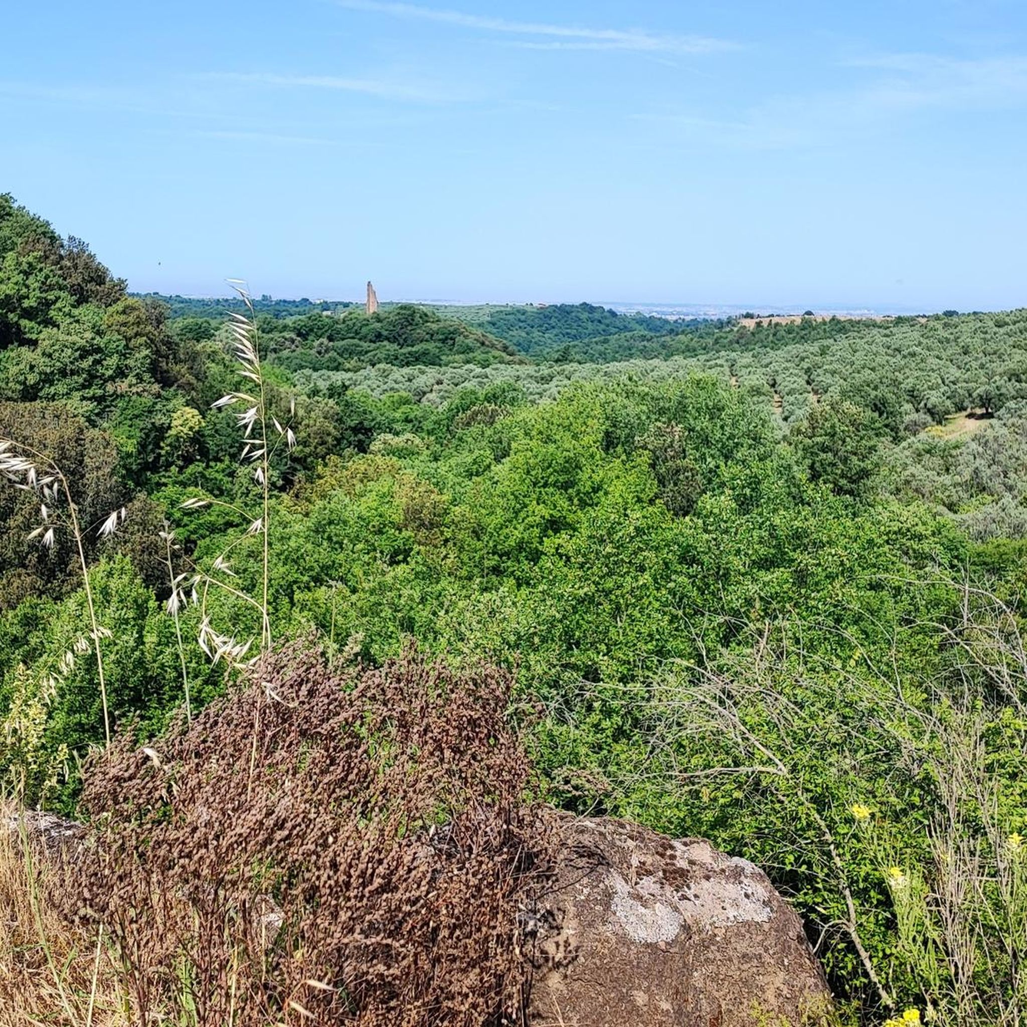
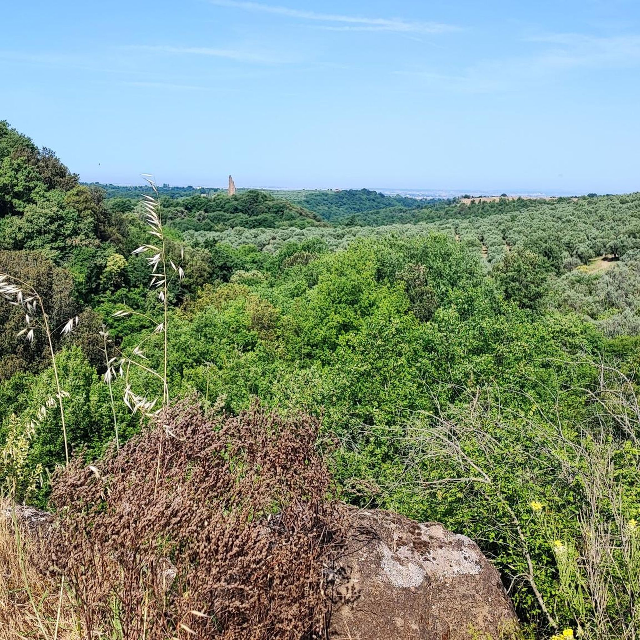
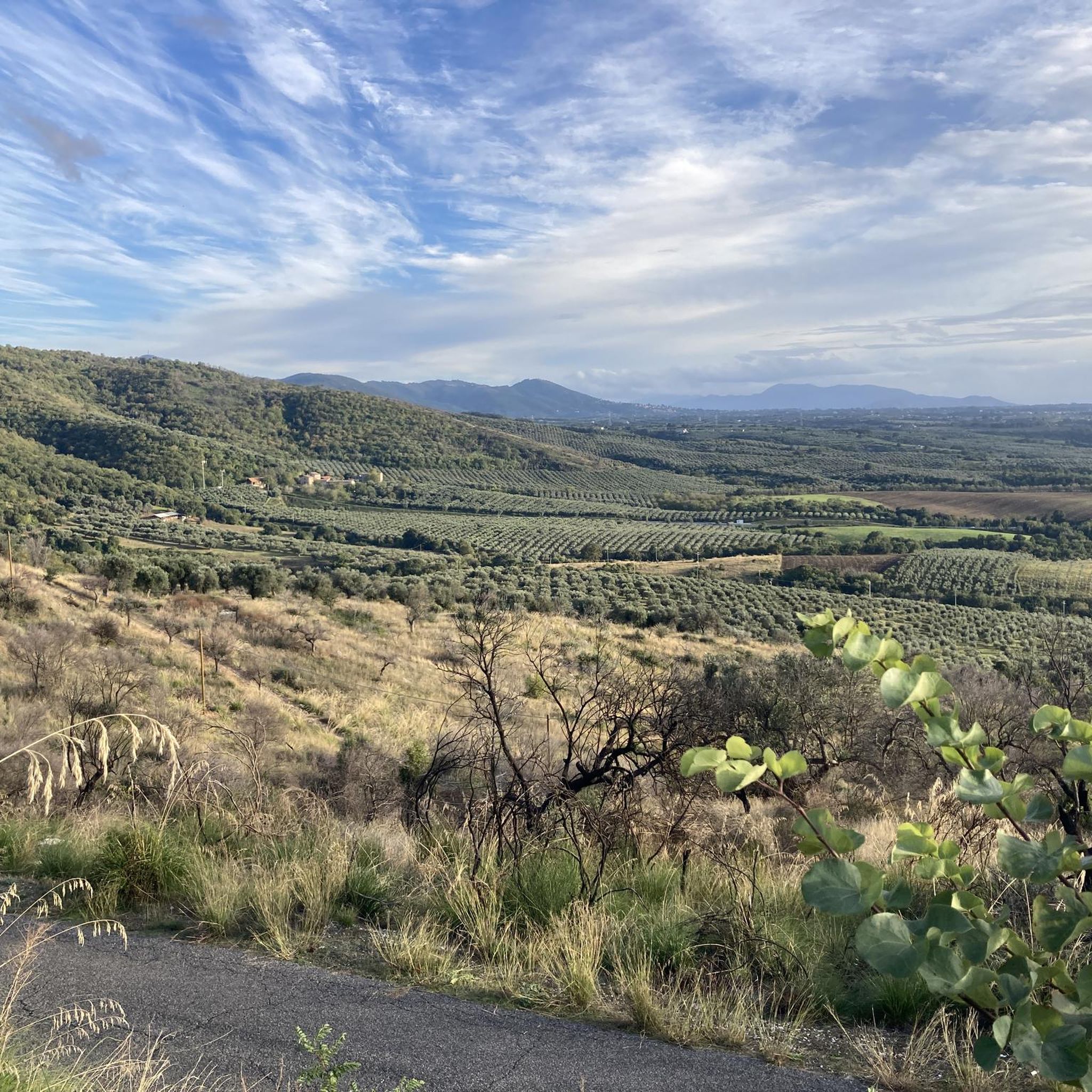
Hiking around Gallicano Nel Lazio offers diverse landscapes at the foot of the Monti Prenestini mountains, situated on a tuffaceous terrace between two stream gorges. The region features valleys carved into tuff, traversed by monumental ancient Roman aqueducts, and includes numerous waterfalls and extensive wooded areas. Panoramic vistas of the surrounding Prenestini Mountains are accessible from various points. These physical features provide a varied terrain for outdoor activities.
Best hiking trails around Gallicano Nel Lazio
- The most popular hiking route…
Last updated: August 19, 2026
4.5
(4)
10
hikers
Moderate hike. Good fitness required. Easily-accessible paths. Suitable for all skill levels.
4.3
(3)
18
hikers
12.8km
03:30
200m
200m
Moderate hike. Good fitness required. Easily-accessible paths. Suitable for all skill levels.

Sign up for free
4.6
(5)
21
hikers
Moderate hike. Good fitness required. Easily-accessible paths. Suitable for all skill levels.
3.8
(6)
11
hikers
13.5km
03:45
250m
250m
Moderate hike. Good fitness required. Easily-accessible paths. Suitable for all skill levels.
3.0
(2)
6
hikers
11.9km
03:17
200m
190m
Moderate hike. Good fitness required. Easily-accessible paths. Suitable for all skill levels.
Get access to more routes and recommendations from other explorers.
Sign up for free
Already have an account?
Our route recommendations are based on thousands of hikes, rides, and runs completed by other people on komoot.
Start today with a free account
Your next adventure awaits.
Login or Signup

Tips from the Community

Walk among the remains of Roman aqueducts
0
0

July 2024: planning a cycle touring route, starting from Gallicano, I was not able to reach it, due to the unkempt state of vegetation and barriers.
1
0

from the web: "The Selciatella Bridge, located near the Fosso dell'Acqua Rossa, is an ancient Roman structure that allowed the crossing of the moat. This bridge, of republican construction, was part of the Anius Vetus Aqueduct, built in 272 BC and subsequently reinforced during the Augustan era. Its length is approximately 13 meters and its width is 6 meters. During the Flavian dynasty (69-96 AD), it was partially rebuilt in brick, reaching a height of approximately 9 metres. meters The name “Selciatella” derives from the unit of measurement of the surface in the pontifical era, where 1 Taulella corresponded to 72 square rods. To reach this fascinating bridge, you can follow a route that starts from the car parks of the Gallicano nel Lazio cemeteries. Taking via del Collacchio, you will embark on a small path that runs along the Fosso Caipoli, dug by the Rio Secco. After a few minutes, you will reach the Ponte Taulella, which is part of the same aqueduct system. You can cross it to admire the perspective of the Fosso or explore the technical details with which it was built. Continuing the path, you will arrive at a riding school and, from there, you will continue towards the source of the Fosso dell'Acqua Rossa. Along the way, you will be able to admire cultivated fields and two enormous cisterns dating back to Roman times. Finally, immersing yourself in the dense vegetation, you will reach the enchanting Ponte della Selciatella".
0
0
Beautiful Roman bridge in the Passerano valley
0
0

Area around S. Vittorino waiting to be discovered.
0
0
Well preserved Roman aqueduct.
1
0

The circular tour to visit the Water Giants (the three Roman aqueducts dating back to the first and second century BC) is very beautiful, especially with the autumn colors that distinguish the months between October and December. The trail is very simple and suitable for people with minimal training, no special equipment is required other than a good pair of shoes. However, the saddest and least beautiful aspect is the amount of rubbish (remains of cars, batteries, drums of all types, plastics, etc.) that can be found along the route (following the path in reverse, from the road on the left, leaving the main one) which completely disfigure the panorama. Overall 7-7.5/10.
2
0
Frequently Asked Questions
How many hiking trails are available in Gallicano Nel Lazio?
Gallicano Nel Lazio offers a wide variety of hiking experiences, with over 110 trails recorded on komoot. These routes cater to different preferences, ranging from easy strolls to more challenging treks.
What is the best time of year to go hiking in Gallicano Nel Lazio?
Spring is particularly recommended for hiking in Gallicano Nel Lazio. During this season, the wooded areas are vibrant with flowers, and natural water features like the Falconara ditch are abundant, enhancing the scenic beauty of the trails. The region's diverse landscapes, including tuff valleys and ancient aqueducts, are enjoyable in milder weather.
Are there easy hiking trails suitable for beginners in Gallicano Nel Lazio?
Yes, Gallicano Nel Lazio has several easy hiking options perfect for beginners or those looking for a relaxed walk. For example, the San Vittorino Waterfalls loop from San Vittorino is an easy 3.3 km trail that takes about an hour to complete, offering a pleasant experience without significant elevation changes.
Can I find hikes that feature waterfalls in Gallicano Nel Lazio?
Absolutely. The region is known for its natural water features. A popular route that includes waterfalls is the San Vittorino Waterfalls – Ponte delle Mole or degli Arci loop from San Vittorino. You can also spot waterfalls near Ponte Gregoriano, adding to the scenic beauty of the area.
Are there any hikes that explore the ancient Roman aqueducts?
Yes, the ancient Roman aqueducts are a prominent feature of the landscape and are integrated into several hiking routes. The "Ponte delle Mole or degli Arci – Anio Vetus Roman Aqueduct loop" is a notable route. You can experience these impressive structures firsthand on trails like the View of San Gregorio – Ponte delle Mole or degli Arci loop from Cascata dell'Acqua Raminga, which explores the area's ancient aqueducts and natural features.
What historical sites or landmarks can I see while hiking around Gallicano Nel Lazio?
The area is rich in history. While hiking, you can encounter impressive structures like the ancient Roman aqueducts. Other notable landmarks include the 10th-century Passerano Castle and the ancient Ponte Gregoriano. The Karol Wojtyła Trail to the Sanctuary of Mentorella also offers a blend of natural beauty and historical significance.
Are there circular hiking routes available in Gallicano Nel Lazio?
Many of the hiking trails in Gallicano Nel Lazio are designed as loops, offering convenient circular routes. Examples include the View of San Gregorio – Ponte delle Mole or degli Arci loop from Cascata dell'Acqua Raminga and the Ponte della Selciatella loop from Gallicano nel Lazio, allowing you to start and end at the same point.
What do other hikers say about the trails in Gallicano Nel Lazio?
The hiking routes in Gallicano Nel Lazio are highly regarded by the komoot community, holding an average rating of 4.4 stars from over 700 reviews. Hikers often praise the diverse terrain, the historical aqueducts, and the natural beauty of the tuff valleys and wooded areas.
Are there family-friendly hiking options in Gallicano Nel Lazio?
Yes, the region offers a range of difficulties, including easy walks suitable for families. While specific 'family-friendly' designations vary, many of the shorter, less strenuous trails, particularly those with minimal elevation gain, can be enjoyed by families with children. The San Vittorino Waterfalls loop from San Vittorino is an example of an easier route.
Can I bring my dog on the hiking trails in Gallicano Nel Lazio?
Generally, dogs are welcome on many outdoor trails in Italy, but it's always advisable to keep them on a leash, especially in natural parks or areas with wildlife. There are no specific restrictions mentioned for the general hiking trails in Gallicano Nel Lazio, but always be mindful of local regulations and other hikers.
Are there any challenging hikes for experienced trekkers?
While many routes are moderate, Gallicano Nel Lazio also offers more challenging options for experienced trekkers, particularly those venturing into the Monti Prenestini mountains. These routes may require good physical condition and sure-footedness. There are 7 difficult trails recorded on komoot for those seeking a greater challenge.
Is parking available near the trailheads in Gallicano Nel Lazio?
Parking availability can vary by trailhead. In general, smaller towns and villages like Gallicano Nel Lazio often have public parking areas. It's recommended to check specific route details on komoot for information regarding parking at the start of your chosen trail.
How can I reach the trailheads using public transport?
Gallicano Nel Lazio is located approximately 35 kilometers east of Rome. While local bus services connect the town to nearby areas, direct public transport to specific trailheads might be limited. For detailed information on reaching trail starting points via public transport, it's best to consult local transport schedules or plan your journey using online mapping services.
Most popular routes around Gallicano Nel Lazio
Most popular attractions around Gallicano Nel Lazio

Get inspired with the komoot mobile app


Explore more
Browse the best Hikes in other regions.
