The best walks and hikes around Putzbrunn
4.4
(3138)
32,681
hikers
46
hikes
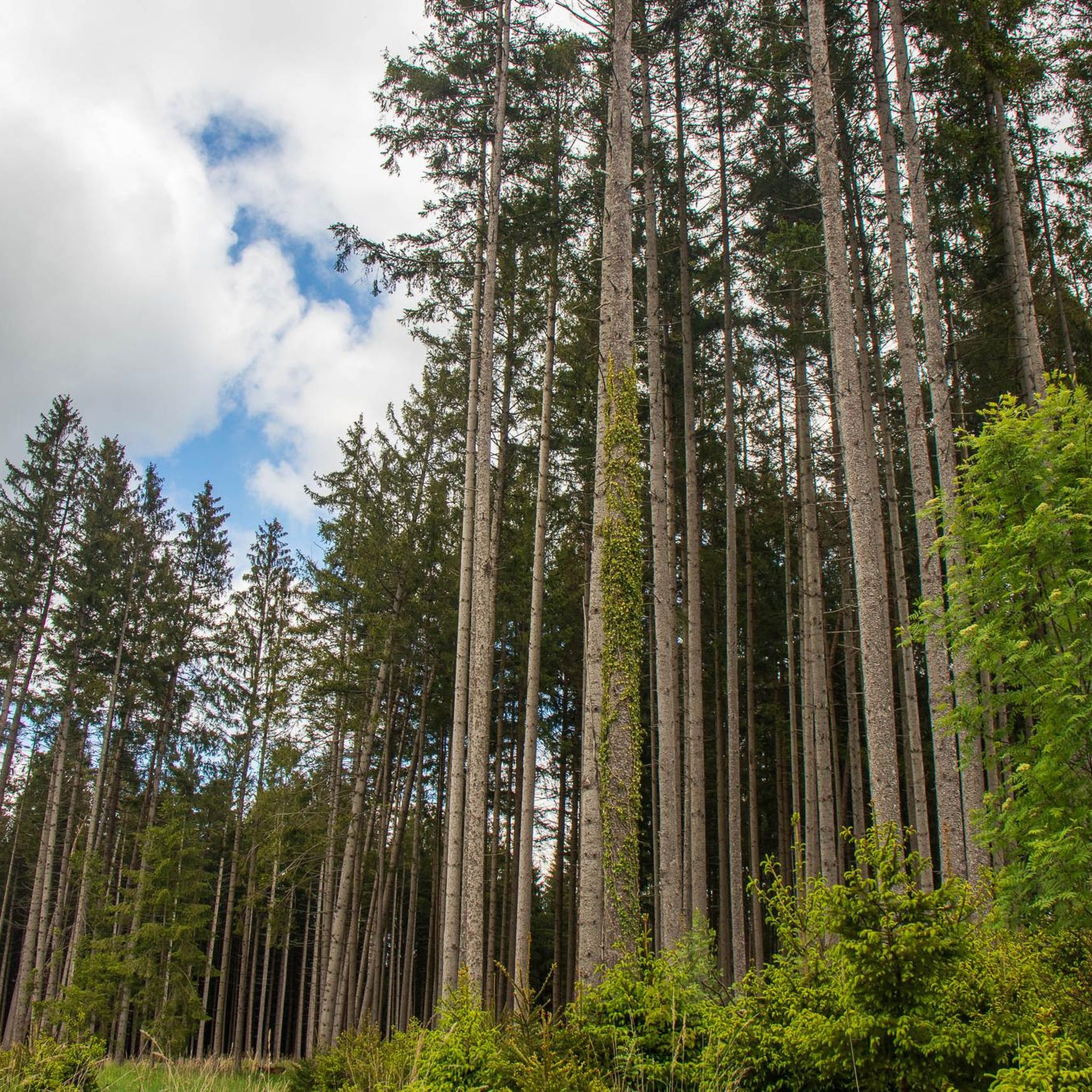
Hiking around Putzbrunn offers accessible trails through varied landscapes southeast of Munich. The region is characterized by extensive forests, such as the Perlacher Forst and Truderinger Wald, providing shaded paths and natural environments. Its idyllic scenery includes green spaces and low-lying terrain, with minimal elevation changes across its routes. This area provides a network of trails suitable for various fitness levels, primarily featuring easy to moderate paths.
Best hiking trails around Putzbrunn
- The most popular hiking route is Putzbrunn Forest…
Last updated: October 2, 2026
4.6
(5)
63
hikers
Easy hike. Great for any fitness level. Easily-accessible paths. Suitable for all skill levels.
3.0
(2)
35
hikers
Easy hike. Great for any fitness level. Easily-accessible paths. Suitable for all skill levels.

3.0
(1)
23
hikers
Easy hike. Great for any fitness level. Easily-accessible paths. Suitable for all skill levels.
15
hikers
Moderate hike. Good fitness required. Easily-accessible paths. Suitable for all skill levels.
4.0
(2)
10
hikers
Easy hike. Great for any fitness level. Easily-accessible paths. Suitable for all skill levels.
Get access to more routes and recommendations from other explorers.
Already have an account?
Our route recommendations are based on thousands of hikes, rides, and runs completed by other people on komoot.
Start today with a free account
Your next adventure awaits.
Tips from the Community

Quiet spot after a sometimes strenuous forest drive
0
0

This beautiful cross has stood here for 150 years and is in very good condition for its age. Many thanks to the Eder family, whose name is mentioned on the plaque, who have maintained the shrine for many generations.
0
0

Good bike path along the road
1
0

St. Anna Chapel in the village center of Oedenstockach, on the Kapellenplatz named after her. The little church with the richly decorated wooden tower is the architectural jewel of the small village. Interestingly, hardly anything is known about the previous building history or the building history of the chapel itself - see the information board on site.
3
0

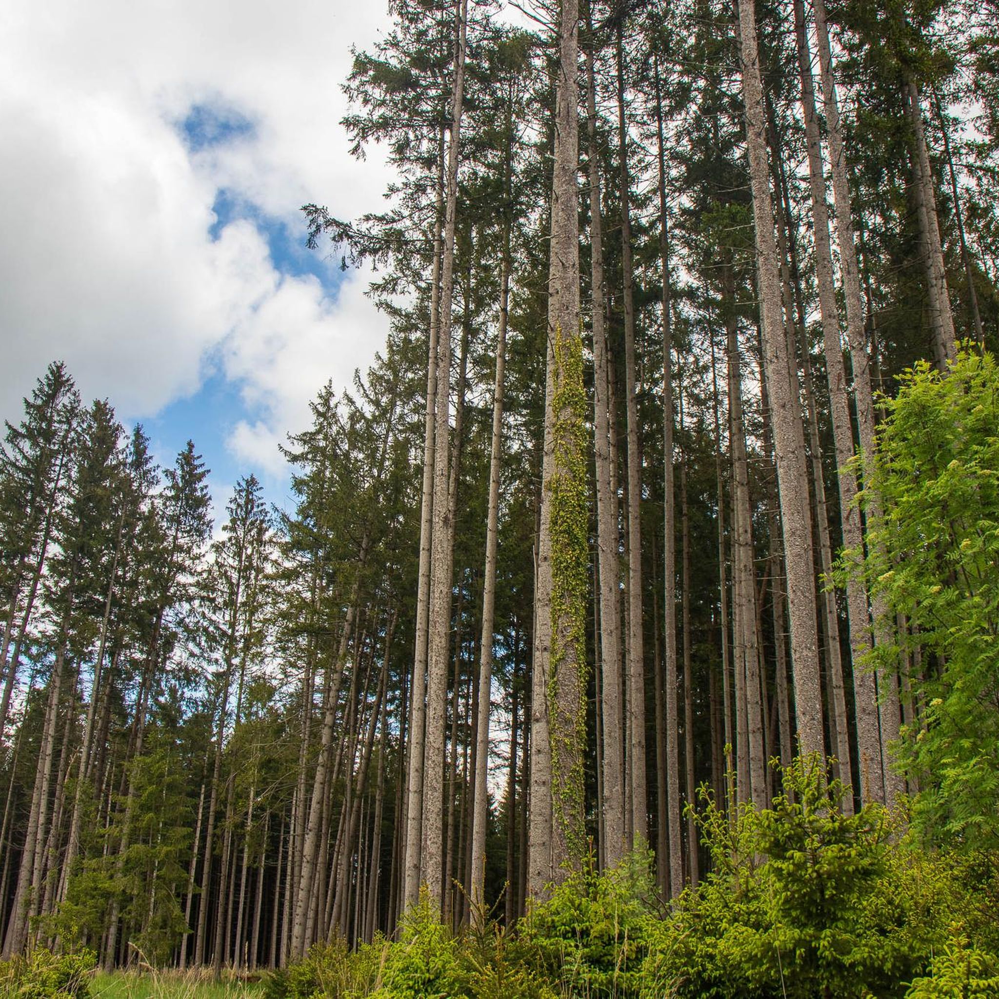
A beautiful route through the forest. Hardly out of the city, you can enjoy nature here.
4
0

The wayside chapel is a wayside chapel in the Solalinden district of the Upper Bavarian municipality of Putzbrunn in the district of Munich. It is registered as a monument in the Bavarian list of monuments. (Source: Wikipedia)
0
0

Nice rest area with long jump facility for children. How far does your child jump? As far as a rabbit, squirrel or badger? :) The round is also good to go with a stroller. All information here: https://www.mamameilen.de/walderlebnispfad-muenchen-hohenbrunner-rundwanderweg
1
0

“Each of these crosses can tell its own story and what prompted people to erect “their” cross at this point. (...) These wayside crosses were erected as visible signs and attract the attention of many people. The cross is a symbol of life. It stands as a sign of our Christian hope and wants to direct our gaze to Jesus Christ, who has overcome death (...). The cross is part of our life as it was in the life of Jesus. So I wish that many people … visit the crosses, whether as places of stillness and breathing space before God, whether as places for community gatherings, prayer and praise to God.” (Text source: Dean Rainald M. Ollig in: "Crossroads... small sacred monuments as a sign of popular piety")
1
0
Frequently Asked Questions
How many hiking trails are available in Putzbrunn?
Putzbrunn offers a network of nearly 50 hiking trails. The majority of these, around 40, are classified as easy, with about 8 moderate routes, making the area accessible for various fitness levels.
Are there any easy, circular hiking routes suitable for beginners in Putzbrunn?
Yes, Putzbrunn is ideal for beginners and offers many easy, circular routes. A great option is the Forest Chapel Putzbrunn loop from Putzbrunn, which is an easy 3.7 km trail. Another accessible choice is the St. Anna Chapel Oedenstockach loop from Oedenstockach, covering 4.5 km.
What kind of terrain can I expect on Putzbrunn's hiking trails?
The hiking trails in Putzbrunn are characterized by extensive forests like the Perlacher Forst and Truderinger Wald, offering shaded paths and natural environments. The region features idyllic scenery with green spaces and generally low-lying terrain, meaning minimal elevation changes across most routes.
Are there family-friendly hiking options in Putzbrunn?
Absolutely. Putzbrunn's trails are largely easy and suitable for families. The region's gentle terrain and shaded forest paths make it a pleasant environment for children. Many routes are short, like the Zur Einkehr (Permanently Closed) loop from Putzbrunn, which is 4.3 km and takes just over an hour, perfect for a family outing.
What natural attractions or landmarks can I see while hiking in Putzbrunn?
While hiking in the Putzbrunn area, you can explore various natural features. Nearby attractions include several lakes such as Lake Riem and Lake Heimstetten. You might also encounter natural monuments like the Schwabinger Bach Waterfall or the Isarauen (Isar Floodplains), which offer picturesque spots for a break.
Are there any dog-friendly hiking trails in Putzbrunn?
Yes, many of Putzbrunn's forest trails are suitable for dogs. The extensive wooded areas provide plenty of shade and natural surroundings for a pleasant walk with your canine companion. Always remember to keep dogs on a leash where required and clean up after them.
What do other hikers say about the trails in Putzbrunn?
The hiking routes in Putzbrunn are highly regarded by the komoot community, holding an average rating of 4.6 stars from over 30 reviews. Hikers often praise the quiet woodlands, accessible paths, and the serene, idyllic scenery that provides a refreshing escape close to Munich.
Is public transport available to access hiking trailheads in Putzbrunn?
Putzbrunn is well-connected within the Munich public transport network, making it possible to reach various trailheads without a car. We recommend checking local bus schedules to find the most convenient stops for your chosen starting point.
Are there any cafes or places to eat near the hiking trails in Putzbrunn?
Putzbrunn and its surrounding villages offer local amenities, including cafes and pubs, where you can refresh yourself after a hike. While specific establishments vary, you'll find options for a break or a meal within reasonable distance of many trailheads.
What is the best time of year to go hiking in Putzbrunn?
Putzbrunn offers pleasant hiking opportunities throughout much of the year. Spring and autumn provide comfortable temperatures and beautiful foliage, while the shaded forest paths are particularly inviting during warmer summer months. Even in winter, easy trails can be enjoyed, especially after fresh snowfall, though conditions should always be checked.
Are there any longer, moderate hikes available in the Putzbrunn area?
While most trails are easy, Putzbrunn does offer some moderate options for those seeking a bit more challenge. There are approximately 8 moderate routes available, often traversing slightly longer distances or varied terrain within the local woodlands and open areas. These routes still maintain the region's characteristic low elevation changes.
Most popular routes around Putzbrunn
Most popular attractions around Putzbrunn

Get inspired with the komoot mobile app


Explore more
Browse the best Hikes in other regions.
