The best MTB trails around Avigliano
4.6
(38)
201
riders
16
rides
Mountain biking around Avigliano offers a diverse network of trails across varied terrain. The region is characterized by significant elevation changes, providing options from moderate paths to challenging routes. Riders can expect a mix of landscapes, including hilly areas and scenic natural features, making it suitable for different skill levels.
Best mountain bike trails around Avigliano
- The most popular mountain bike trail is Lago di Pignola Cycle Path – Lake Pignola loop from Potenza Macchia Romana, a 27.5 miles…
Last updated: July 4, 2026
4.1
(12)
34
riders
Moderate mountain bike ride. Good fitness required. Suitable for all skill levels.
18
riders
20.4km
02:17
680m
680m
Moderate mountain bike ride. Good fitness required. Advanced riding skills necessary.

Sign up for free
4.8
(4)
17
riders
66.1km
04:56
1,120m
1,120m
Hard mountain bike ride. Very good fitness required. Suitable for all skill levels.
15
riders
14.4km
01:33
470m
460m
Moderate mountain bike ride. Good fitness required. Advanced riding skills necessary.
7
riders
47.3km
04:10
1,050m
1,050m
Hard mountain bike ride. Very good fitness required. Suitable for all skill levels.
Get access to more routes and recommendations from other explorers.
Sign up for free
Already have an account?
Our route recommendations are based on thousands of hikes, rides, and runs completed by other people on komoot.
Start today with a free account
Your next adventure awaits.
Login or Signup
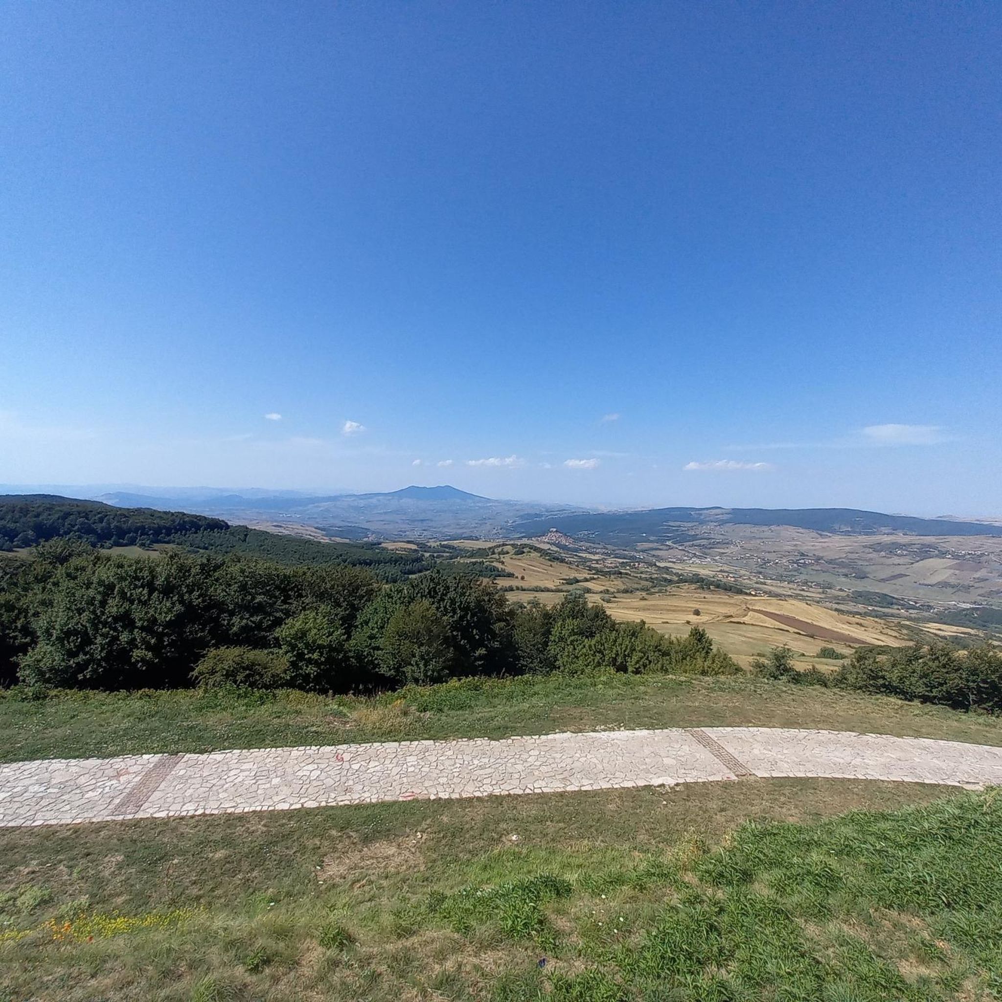
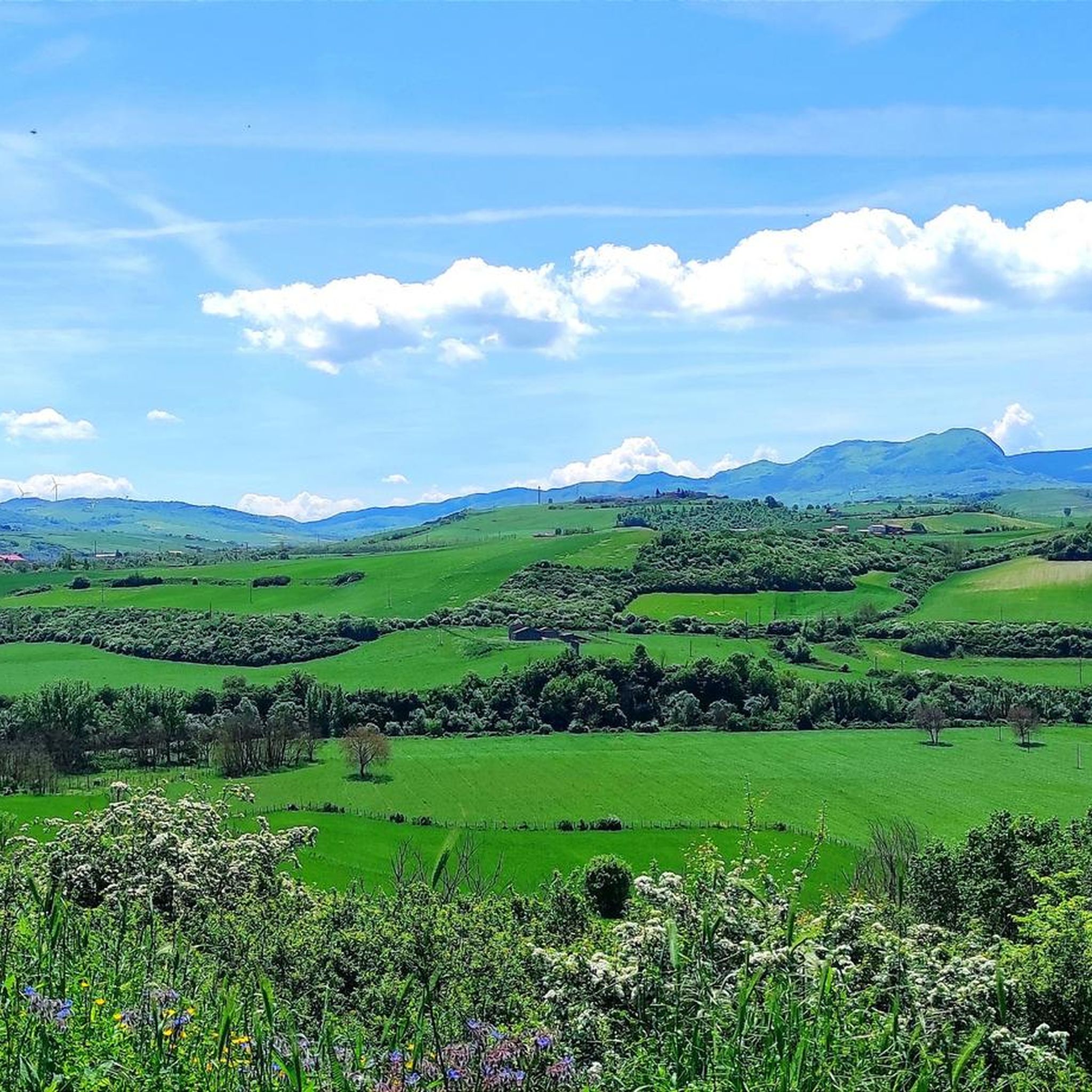
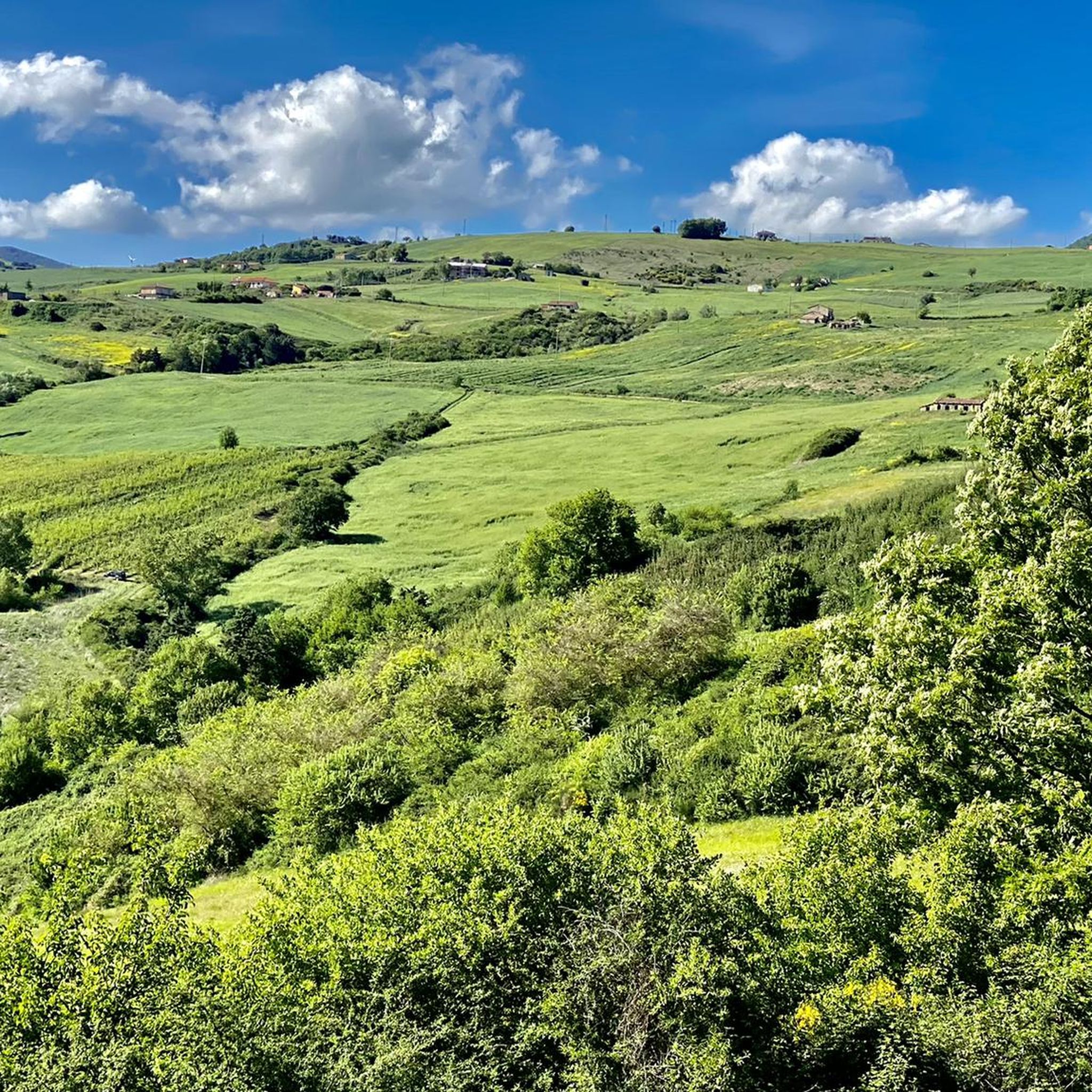

Tips from the Community

The Lake Pignola cycling and walking path winds along the entire shoreline, offering a flat route perfect for families and cyclists of all ages. Along the route, a WWF-managed reserve enriches the experience with nature, wildlife, and tranquil landscapes. There are several places to rent bicycles or tandems, making the visit easy and accessible even without your own bike.
0
0

This small lake basin is a regional nature reserve. The reserve was established in the 1980s as a wetland of international interest and is currently managed by the WWF through a local association. There is a cycle/pedestrian path that allows you to go around the lake completely, admire the animals that populate the area and immerse yourself in nature.
3
0

Tunnel present in the railway section between Rionero and Barile.
0
0
Small dirt road between Rionero and Barile.
0
0
A small fountain located in the municipality of Rionero but known as "the Barile fountain". It is located between the 2 municipalities and was restored a few years ago thanks to the good will of local artists and poets (from Rionero and Barile). The water is drinkable and delicious, it's a must to fill your water bottle 😉
1
1

Forenza, a small town in the province of Potenza, is known as the "Balcony of Puglia" for its panoramic view. It has Samnite origins, mentioned by Horace and Livy, and features monuments such as the Convent of the SS. Crucifix and various historic churches.
0
0


An excellent point from which to observe the lake in all its beauty.
0
0
Frequently Asked Questions
How many mountain bike trails are available around Avigliano?
There are 7 mountain bike trails listed around Avigliano on komoot, catering to various skill levels. Over 200 mountain bikers have already explored these routes, which are highly rated by the community.
Are there mountain bike trails suitable for beginners or families in Avigliano?
While there are no trails explicitly rated 'easy', Avigliano offers several moderate routes that can be suitable for beginners or families looking for a less strenuous ride. The Lago di Pignola Cycle Path – Lake Pignola loop from Potenza Macchia Romana is a popular moderate option featuring a cycle path.
What kind of terrain can I expect on mountain bike trails in Avigliano?
The region is characterized by an attractive hilly and mountainous landscape, with significant elevation changes. You can expect a diverse mix of landscapes, including winding rivers, green woods, and varied terrain, with some segments being unpaved and challenging.
Are there any challenging mountain bike routes for experienced riders?
Yes, Avigliano offers several challenging routes for experienced riders. The View of Forenza – Spectacular Forest of Forenza loop from Forenza is a difficult 28.9-mile trail with over 3,300 feet of elevation gain. Another difficult option is the At the Foot of Monte Vulture – Fontanino di Barile loop from Pietragalla FS, which spans over 40 miles.
What are some popular loop trails for mountain biking in Avigliano?
Many of the trails in Avigliano are designed as loops, offering a complete experience. Popular options include the Piano della Nevena loop from Piano della Nevena, a moderate 12.7-mile scenic route, and the Lago di Pignola Cycle Path – Lake Pignola loop from Potenza Macchia Romana.
What attractions or landmarks can I see near the mountain bike trails?
While mountain biking, you can explore several historical and natural attractions. Nearby highlights include the city of Potenza, the ancient Palmenti of Pietragalla, and religious sites like the Church of Santa Maria dei Templari and the Church and Convent of San Francesco.
What do other mountain bikers enjoy most about the trails in Avigliano?
The trails in Avigliano are highly rated by the komoot community, with an average score of 4.4 stars from over 30 reviews. Riders often praise the diverse trail networks, significant elevation changes, and the scenic mountainous or hilly terrain that provides options for different ability levels.
Is there parking available near the mountain bike trailheads?
Specific parking information varies by trailhead. However, many routes, especially those starting from towns or popular areas like Potenza Macchia Romana or Piano della Nevena, typically have designated parking areas or roadside parking available. It's advisable to check the individual route details on komoot for precise starting points and parking suggestions.
What is the best season for mountain biking in Avigliano?
Basilicata, where Avigliano is located, offers diverse conditions. While mountain stretches can experience low temperatures, other areas are warmer. Generally, spring and autumn provide the most pleasant temperatures for mountain biking, avoiding the extreme heat of summer and potential snow in winter at higher elevations.
Are there any trails that pass by lakes or water features?
Yes, the Lago di Pignola Cycle Path – Lake Pignola loop from Potenza Macchia Romana is a prominent route that circles Lake Pignola, offering scenic views of the water. Another route, Piano della Nevena – Lake Moretta or Scuro loop from Piano della Nevena, also features lake views.
Can I reach the mountain bike trails using public transport?
Avigliano is part of a region that promotes cycling and outdoor activities, and public transport options exist to reach the general area. However, direct public transport access to specific trailheads might be limited. For routes starting from towns like Potenza or Forenza, local bus or train services might get you close, but a final short ride or walk to the trailhead may be necessary.
Most popular attractions around Avigliano

Get inspired with the komoot mobile app


Explore more
Browse the best MTB trails in other regions.
