The best walks and hikes around Avigliano
4.8
(43)
45
hikers
4
hikes
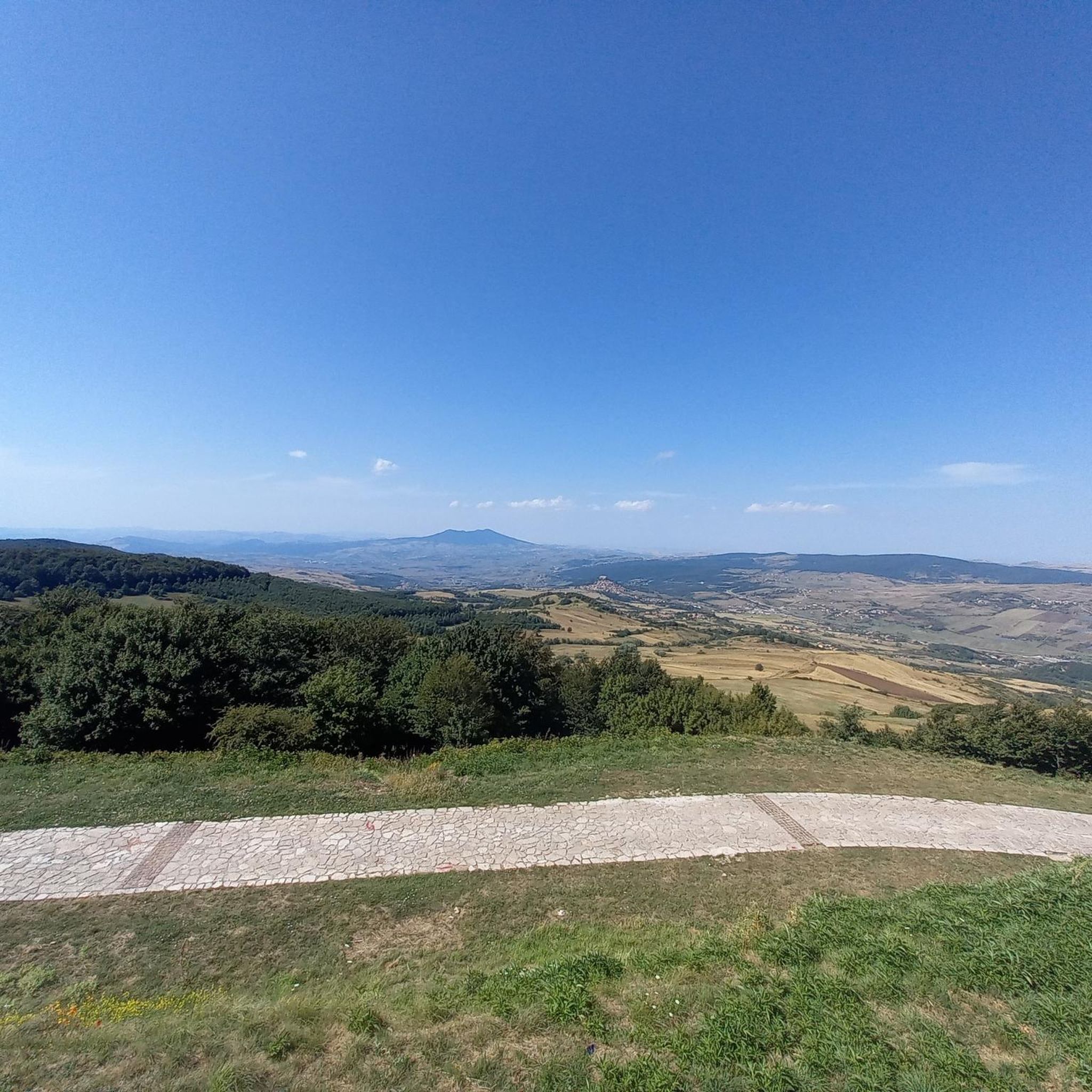
Hiking around Avigliano offers trails through varied landscapes, often featuring hilly terrain and natural areas. The region provides a network of paths suitable for exploring the local environment. These routes frequently include ascents to viewpoints and passages through natural settings.
Best hiking trails in Avigliano
- The most popular hiking route is Monte Carmine – Pink Flowers in Nature loop from Monte Carmine, a 9.8 miles (15.7 km) trail that takes 4 hours 43 minutes to complete. This moderate route…
Last updated: May 23, 2026
5.0
(1)
2
hikers
15.7km
04:44
500m
500m
Moderate hike. Good fitness required. Easily-accessible paths. Suitable for all skill levels.
5.0
(21)
12
hikers
9.03km
02:30
160m
160m
Moderate hike. Good fitness required. Easily-accessible paths. Suitable for all skill levels.

Sign up for free
4.0
(1)
11
hikers
2.22km
00:37
40m
40m
Easy hike. Great for any fitness level. Easily-accessible paths. Suitable for all skill levels.
5.0
(1)
4
hikers
9.93km
02:48
210m
210m
Moderate hike. Good fitness required. Easily-accessible paths. Suitable for all skill levels.
5
hikers
4.99km
01:22
80m
80m
Easy hike. Great for any fitness level. Easily-accessible paths. Suitable for all skill levels.
Our route recommendations are based on thousands of hikes, rides, and runs completed by other people on komoot.
Start today with a free account
Your next adventure awaits.
Login or Signup


Tips from the Community

Great free service if you don't want to climb stairs
0
0
There is an elevator next to the stairs
0
0
There is an elevator for those who don't feel like doing them.
0
0
Beautiful
0
0
Frequently Asked Questions
How many hiking trails are available around Avigliano?
There are over 6 hiking routes around Avigliano, offering a variety of experiences. These trails are highly rated by the komoot community, with an average score of 4.7 stars.
What kind of terrain can I expect on hikes in Avigliano?
Hiking around Avigliano typically involves routes through local hills and natural areas. You can expect varied landscapes, often featuring ascents to viewpoints and passages through natural settings.
Are there any easy hiking routes suitable for beginners in Avigliano?
Yes, Avigliano offers easy routes perfect for beginners or those looking for a relaxed stroll. An example is the Piazza 18 Agosto – Potenza loop from Potenza, which is 1.5 miles (2.4 km) long and can be completed in about 40 minutes. Another easy option is the Hiking loop from Potenza Superiore, covering 3.1 miles (4.9 km).
Are there any circular walks in Avigliano?
Many of the trails around Avigliano are circular, allowing you to start and end at the same point. A popular moderate circular route is the Monte Carmine – Pink Flowers in Nature loop from Monte Carmine, which is 9.8 miles (15.7 km) long.
What are some interesting places to see near the hiking trails in Avigliano?
While hiking around Avigliano, you can explore several interesting points. Nearby attractions include the city of Potenza, the historical Palmenti of Pietragalla, and religious sites like the Church of Santa Maria dei Templari and the Church and Convent of San Francesco.
What do other hikers enjoy most about hiking in Avigliano?
The area is highly rated by the komoot community, with an average score of 4.7 stars from over 30 reviews. Hikers often praise the varied terrain, which connects urban and natural elements, and the opportunities to explore local hills and natural areas.
Are there any moderate hikes for experienced walkers in Avigliano?
Yes, there are several moderate hikes for those seeking a bit more challenge. The Church of San Rocco – Piazza 18 Agosto loop from Potenza is a moderate 5.9 miles (9.5 km) path, and the Church of San Rocco loop from Potenza Macchia Romana is another moderate option covering 6.2 miles (9.9 km).
Can I find trails that offer good viewpoints in Avigliano?
Many routes in Avigliano include ascents that lead to scenic viewpoints. The region's hilly terrain naturally provides opportunities for panoramic views of the surrounding landscapes.
What is the longest hiking trail available in Avigliano?
The longest trail listed is the Monte Carmine – Pink Flowers in Nature loop from Monte Carmine, which spans 9.8 miles (15.7 km) and typically takes around 4 hours and 43 minutes to complete.
Are the hiking trails in Avigliano well-maintained?
The routes in Avigliano are generally well-regarded by the komoot community, indicating that they are suitable for exploration. While specific maintenance details vary, the high average rating suggests a positive hiking experience.
Most popular attractions around Avigliano

Get inspired with the komoot mobile app


Explore more
Browse the best Hikes in other regions.
