The best walks and hikes around Castelluccio Superiore
4.1
(64)
309
hikers
20
hikes
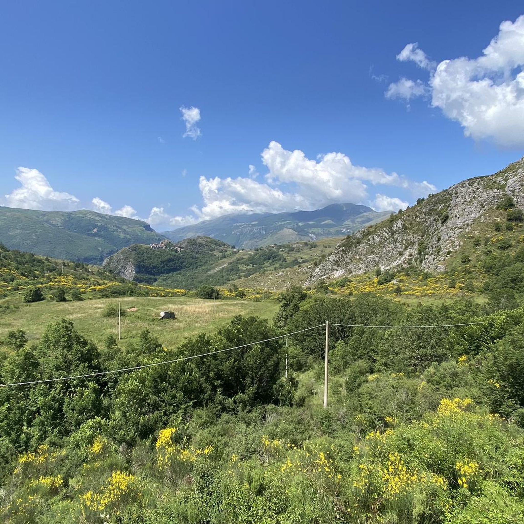
Hiking around Castelluccio Superiore offers diverse trails through the mountainous terrain of Basilicata, often bordering the Pollino National Park. The region features a mix of dense woodlands, river valleys, and elevated areas providing expansive views. Hikers can expect varied landscapes, from gentle paths alongside streams to more challenging ascents towards summits. The area's geology contributes to its natural beauty, with opportunities to explore waterfalls and forested slopes.
Best hiking trails around Castelluccio Superiore
- The most popular hiking route is Cascata Paraturo - Pollino National Park, an easy 2.2 miles (3.6 km) trail that takes 1 hour to complete, leading to a scenic waterfall.
- Another top favourite among local hikers is Former Lauria station – View of Lauria Superiore loop from Lauria, a moderate 6.8 miles (11.0 km) path. This route offers views of the surrounding landscape and takes approximately 3 hours 25 minutes.
- Local hikers also love the Monte Santa Croce Summit – Pizzo Falcone summit loop from Calda, an 8.3 miles (13.4 km) trail leading through mountainous terrain with significant elevation gain, often completed in about 5 hours 7 minutes.
- Hiking around Castelluccio Superiore is defined by its forested slopes, river valleys, and mountain views, with options for various ability levels from easy walks to challenging summit ascents.
- The routes in Castelluccio Superiore are highly rated by the komoot community with an average score of 4.1 stars from over 60 reviews. More than 280 hikers have used komoot to explore Castelluccio Superiore's varied terrain.
Last updated: June 25, 2026
4.0
(5)
9
hikers
3.58km
01:01
90m
90m
Easy hike. Great for any fitness level. Easily-accessible paths. Suitable for all skill levels.
4.6
(15)
34
hikers
3.55km
01:02
90m
90m
Easy hike. Great for any fitness level. Easily-accessible paths. Suitable for all skill levels.

Sign up for free
4.6
(8)
19
hikers
2.33km
00:41
70m
70m
Easy hike. Great for any fitness level. Easily-accessible paths. Suitable for all skill levels.
5.0
(2)
12
hikers
16.3km
06:06
1,050m
1,050m
Hard hike. Very good fitness required. Easily-accessible paths. Suitable for all skill levels.
5.0
(2)
13
hikers
13.4km
05:07
850m
850m
Hard hike. Very good fitness required. Mostly accessible paths. Sure-footedness required.
Get access to more routes and recommendations from other explorers.
Sign up for free
Already have an account?
Our route recommendations are based on thousands of hikes, rides, and runs completed by other people on komoot.
Start today with a free account
Your next adventure awaits.
Login or Signup
Tips from the Community


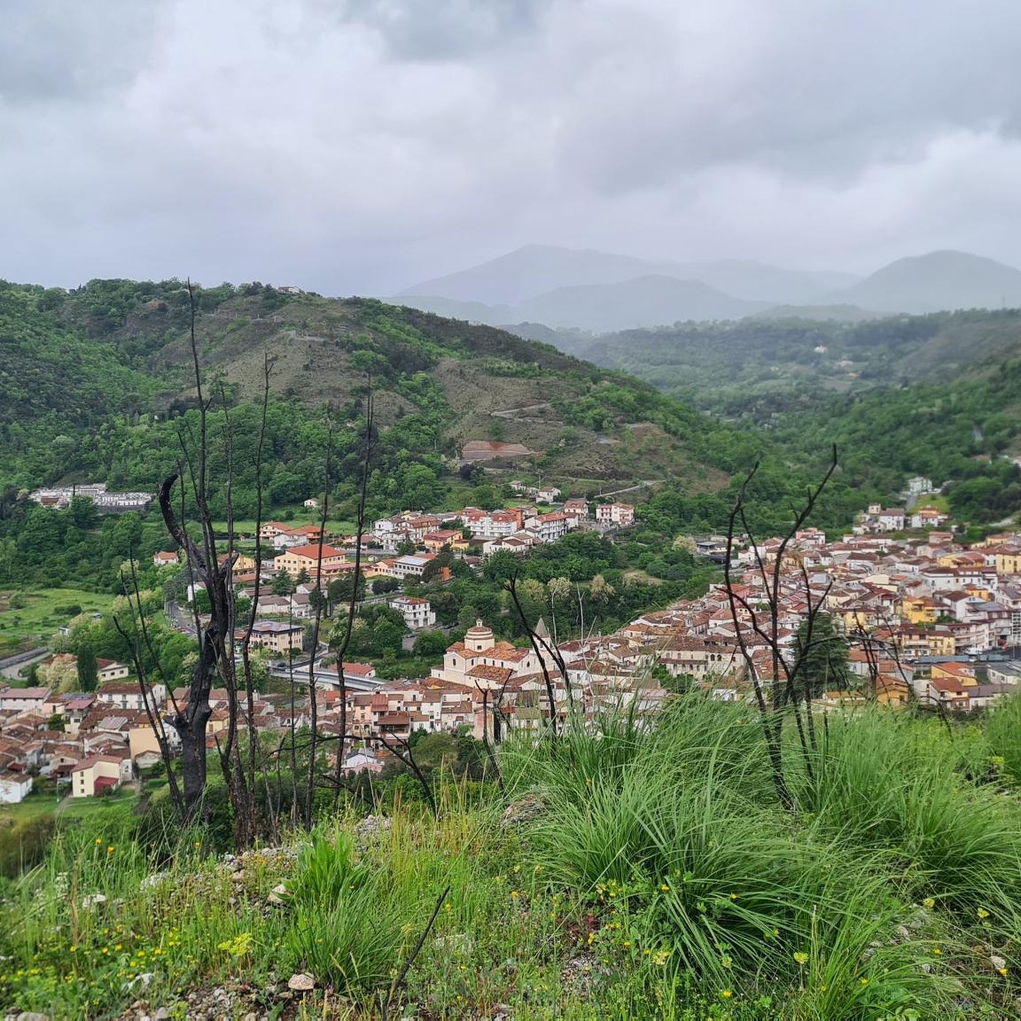
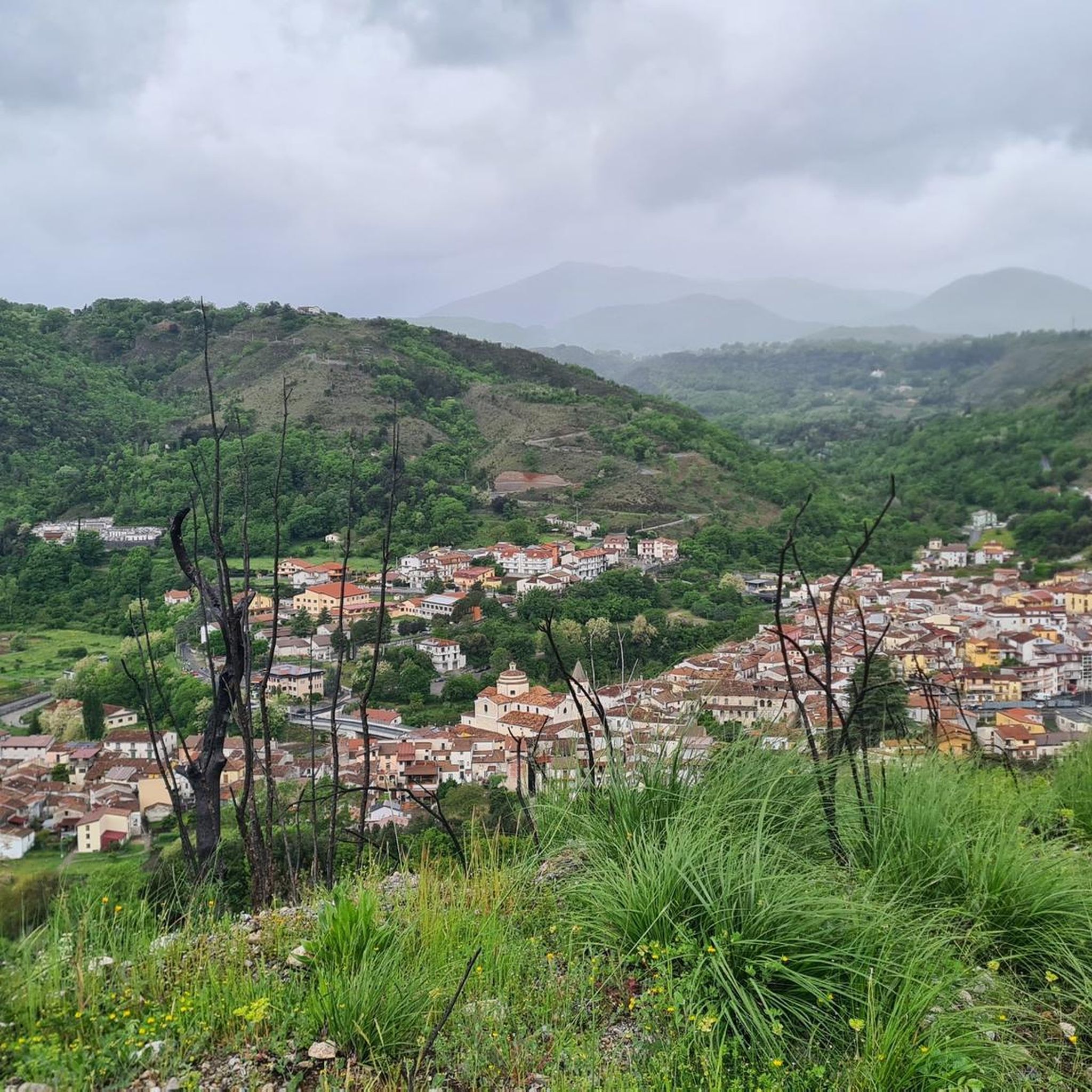
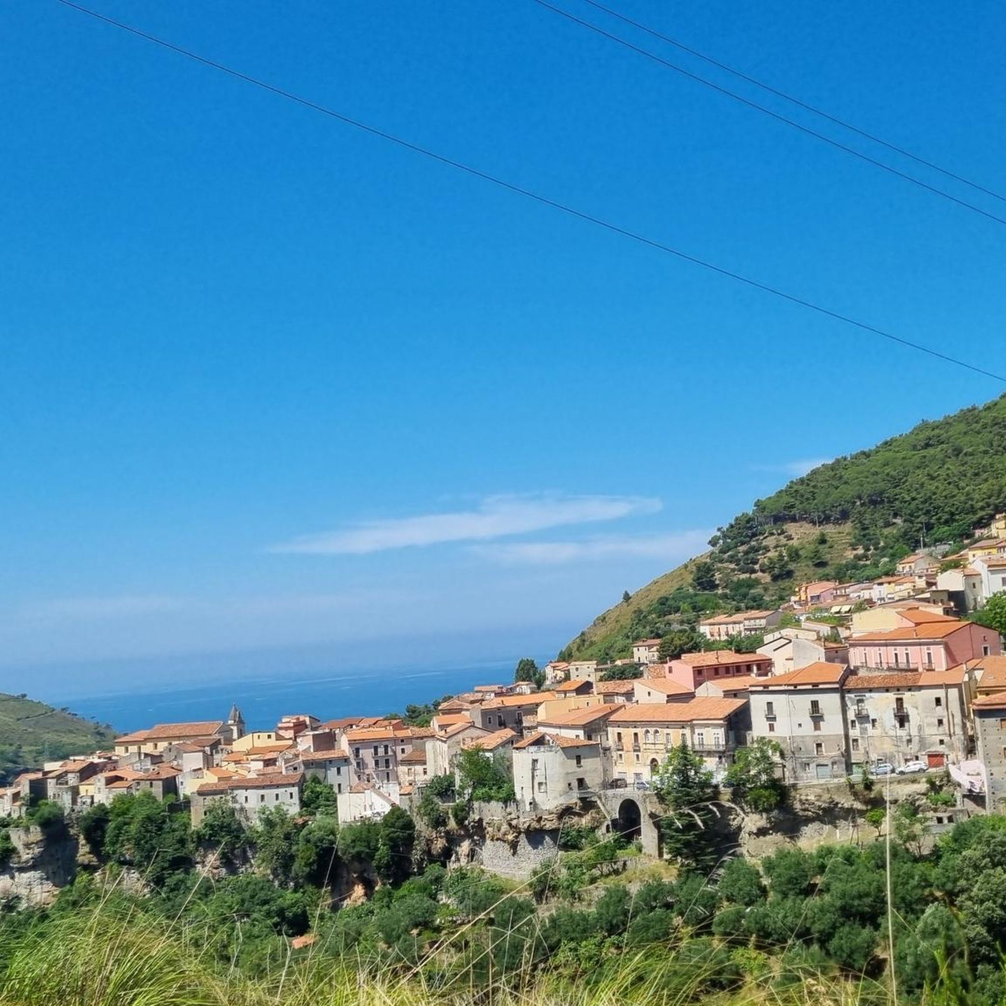
Castelluccio Superiore, nestled in the picturesque Mercure Valley, welcomes you with a historic center brimming with medieval charm, cobbled alleys, and panoramic views of the Pollino National Park. Strolling among ancient stone houses and intimate squares, you'll discover a true "terrace" overlooking the valley below, where history and nature intertwine. The village is home to the Ethnobotanical Conservatory, a research and documentation center dedicated to applied botany and ethnobotany, a hub for scholars and visitors interested in local herbal traditions and the promotion of biodiversity.
0
0

At this point, if you come in spring, you can see many blossoming flowers.
1
0
Superb waterfall immersed in a fairytale setting, in the Pollino National Park.
2
1
A nice, quiet trail next to a wonderful waterfall.
1
0
A wonderful "panoramic balcony" on the Pollino National Park. this peak can be reached with a medium-difficulty trek starting from the Favino refuge.
2
0

Ideal summit also to be able to camp out with the right precautions. The view is very beautiful, you can see Monte Raparo, Monte Sirino and Serra La Spina.
3
0

Frequently Asked Questions
How many hiking trails are available around Castelluccio Superiore?
There are over 15 hiking trails around Castelluccio Superiore, offering a variety of experiences for different skill levels, from easy walks to challenging mountain ascents.
Are there any easy hikes suitable for beginners or families?
Yes, there are several easy trails. For a gentle walk leading to a scenic spot, consider the Cascata Paraturo - Pollino National Park route, which is about 2.2 miles (3.6 km) long and takes around an hour to complete.
Where can I find challenging hikes in the area?
For more challenging adventures, explore routes with significant elevation gain. The Monte Santa Croce Summit – Pizzo Falcone summit loop from Calda is a demanding 8.3-mile (13.4 km) trail that typically takes over 5 hours to complete, leading through mountainous terrain.
Are there any circular hiking routes?
Yes, many trails in the region are designed as loops. An example is the Former Lauria station – View of Lauria Superiore loop from Lauria, a moderate 6.8-mile (11.0 km) path offering scenic views.
What kind of natural attractions can I see along the trails?
The region is known for its natural beauty, including waterfalls and mountain views. You can visit the Peschiera River Waterfall or the Monte Santa Croce Summit for expansive vistas.
Are there any historical or cultural landmarks to explore nearby?
Yes, the area has interesting historical points. You can find the Iron bridge old railway or the Former Lauria station, which offer glimpses into the region's past.
What is the best time of year for hiking in Castelluccio Superiore?
The best time for hiking is generally from spring through autumn (April to October), when the weather is milder and trails are most accessible. Summer offers warm conditions, while spring and autumn provide pleasant temperatures and vibrant scenery.
Is parking available near the trailheads?
Parking availability varies by trailhead. Many popular starting points, especially those near villages or attractions, offer designated parking areas. It's advisable to check specific route details for parking information before you go.
What do other hikers enjoy most about the trails in Castelluccio Superiore?
The trails around Castelluccio Superiore are highly rated by the komoot community, with an average score of 4.1 stars. Hikers often praise the diverse landscapes, from dense woodlands and river valleys to rewarding mountain views, and the variety of routes suitable for different abilities.
Are dogs allowed on the hiking trails?
Generally, dogs are welcome on most hiking trails in the Castelluccio Superiore area, especially in national parks like Pollino. However, it's always recommended to keep them on a leash, especially in protected areas or near livestock, and to check specific park regulations if available.
Are there any trails that feature waterfalls?
Yes, the region is home to beautiful waterfalls. The Cascata Paraturo - Pollino National Park route leads directly to a scenic waterfall, offering a refreshing destination for your hike.
What should I wear for hiking in this mountainous region?
Given the mountainous terrain and varied weather, it's best to wear layers. Sturdy hiking boots are essential, along with moisture-wicking clothing. Always carry rain gear, even on clear days, and bring plenty of water and snacks.
Most popular routes around Castelluccio Superiore
Most popular attractions around Castelluccio Superiore

Get inspired with the komoot mobile app


Explore more
Browse the best Hikes in other regions.
