The best walks and hikes around Nociglia
4.3
(302)
1,242
hikers
93
hikes
Hiking around Nociglia offers diverse landscapes within the Lower Salento region, situated on a rise within the Serre Salentine. The area is characterized by gentle hills and varied terrain, with the landscape outside the village dominated by ancient olive trees in the Parco dei Paduli. While Nociglia is inland, its proximity to the Adriatic coast means nearby trails can offer views of cliffs and the sea.
Best hiking trails around Nociglia
- The most popular hiking route is Madonna della Serra…
Last updated: October 25, 2026
4.0
(8)
31
hikers
13.6km
03:33
90m
80m
Moderate hike. Good fitness required. Easily walkable paths.
4.5
(4)
25
hikers
10.8km
02:53
110m
110m
Moderate hike. Good fitness required. Easily walkable paths.

4.0
(2)
24
hikers
7.14km
01:50
30m
30m
Easy hike. Easily walkable paths.
4.7
(6)
19
hikers
28.3km
07:18
150m
150m
Hard hike. Very good fitness required. Sure-footedness, sturdy shoes and alpine experience required.
4.6
(5)
24
hikers
9.44km
02:38
150m
150m
Moderate hike. Good fitness required. Easily walkable paths.
Get access to more routes and recommendations from other explorers.
Already have an account?
Our route recommendations are based on thousands of hikes, rides, and runs completed by other people on komoot.
Start today with a free account
Your next adventure awaits.


Tips from the Community

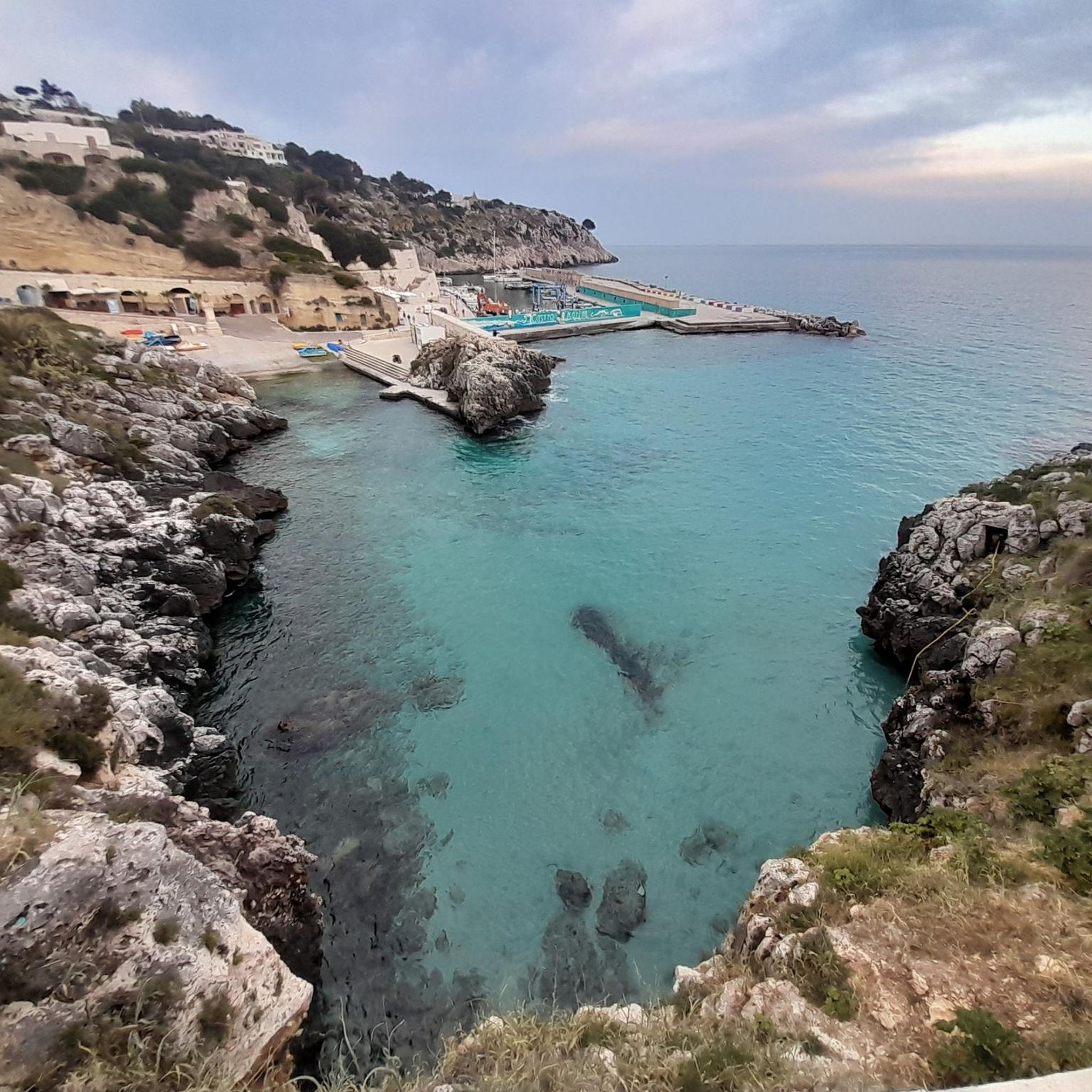
The Sentiero della Torre del Sasso is one of the most evocative trails on the Salento Adriatic coast, suspended between sky and sea. It runs along the Serra del Mito, offering continuous panoramas of the limestone cliffs and the infinite blue of the Adriatic.
0
0


The Sentiero della Serra del Mito is a hiking trail that winds through olive groves and Mediterranean scrub in the north-east area of Tricase. It offers splendid views of the sea and the surrounding villages, and passes through several points of interest such as the Green Grotto and the chapel of the Madonna dell'Attarico. The path is suitable for all levels of physical fitness and does not present particular difficulties.
2
0

Everything around you is emphasized while gestures such as pedaling, walking, breathing are no longer perceived. The Serra del Mito takes over and leads to this state of mind... https://www.salentobiketrail.com/il-supposto-della-ghianda/
1
0

Absolutely lovely place to visit. Breathtaking panorama!
0
0

BEAUTIFUL SINGLE TRACK SEA VIEW
0
1
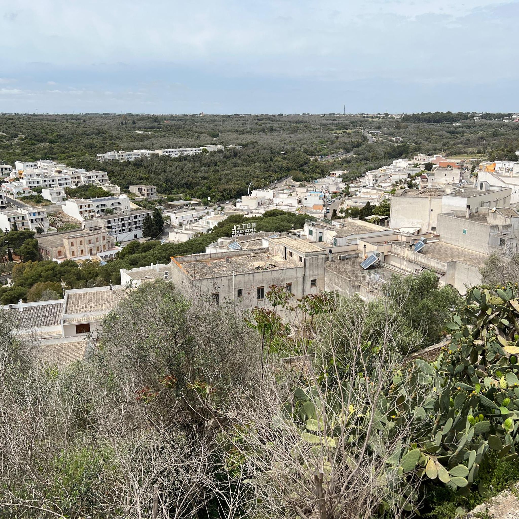
Regardless of the church, what dominates is the geographical position with a view of the Salento hinterland. Unfortunately at the time of my passage a thick fog was raging which prevented me from adding a photo that would convey the idea ... I will provide as soon as possible
1
0

Very nice Dominican church
1
0
Frequently Asked Questions
How many hiking trails are available around Nociglia?
Nociglia and its surroundings offer a wide variety of hiking opportunities, with nearly 100 trails documented on komoot. These routes cater to different skill levels, including easy, moderate, and difficult options.
What types of landscapes can I expect to see while hiking near Nociglia?
The region around Nociglia, nestled in the Lower Salento, features diverse landscapes. You'll find gentle hills and varied terrain within the Serre Salentine, ancient olive groves in the Parco dei Paduli, and trails that offer coastal views due to its proximity to the Adriatic Sea. Some routes also pass through historic villages and cultural sites.
Are there easy hiking trails suitable for beginners or casual walkers?
Yes, Nociglia offers over 30 easy hiking trails. An example is the Hiking loop from Scorrano, which is 7.1 km long and typically takes about 1 hour 50 minutes to complete, making it suitable for any fitness level.
Are there any challenging hikes for experienced trekkers?
For experienced hikers, there are 22 difficult trails available. A notable challenging option is the Torre del Sasso Trail – Torre del Sasso loop from Andrano. This 21.8 km route takes approximately 5 hours and 43 minutes and features the historic Torre del Sasso with coastal views.
What are some interesting landmarks or attractions to see along the trails?
Many trails in the Nociglia area combine natural beauty with historical and cultural sites. You might encounter ancient structures like the historic Torre del Sasso, or explore cultural routes through narrow village streets. Nearby highlights include Castro Castle, Piazza del Popolo in Muro Leccese, and Guarini Castle of Poggiardo.
Are there any circular hiking routes available?
Yes, many routes around Nociglia are designed as loops. For example, the Madonna della Serra Chapel – Natural Cave loop from Ruffano is a moderate 10.8 km trail that forms a complete circuit. Another option is the Menhir Crocefisso loop from Muro Leccese, an easy 7.6 km route.
What do other hikers say about the trails in Nociglia?
The trails in Nociglia are highly regarded by the komoot community, holding an average rating of 4.4 stars from over 200 reviews. Hikers often praise the diverse terrain, the blend of natural beauty with historical sites, and the well-maintained paths through ancient olive groves.
Is Nociglia a good destination for family-friendly hikes?
Yes, with over 30 easy trails, Nociglia offers several options suitable for families. These routes typically have minimal elevation gain and shorter distances, allowing for a pleasant outdoor experience for all ages. The Hiking loop from Scorrano is a good example of an accessible route.
What is the best time of year to go hiking in Nociglia?
The Salento region, where Nociglia is located, generally offers pleasant hiking conditions during spring (April-May) and autumn (September-October). During these seasons, temperatures are milder, and the natural scenery is vibrant, making for comfortable and enjoyable walks. Summers can be very hot, and winters can be cooler and wetter.
Are there options for public transport to reach trailheads around Nociglia?
While Nociglia is a small town, public transport options within the Salento region can be limited, especially for reaching specific trailheads outside the main villages. It is advisable to check local bus schedules in advance or consider personal transport for greater flexibility in accessing the hiking routes.
Where can I find parking when hiking in Nociglia?
Parking is generally available in the villages and towns where many trails begin, such as Nociglia, Ruffano, Scorrano, or Andrano. Look for designated parking areas or street parking within these localities. Specific parking information for individual trailheads may vary, so it's recommended to check local signage upon arrival.
Can I explore the historic center of Nociglia on foot?
Absolutely. Nociglia itself offers 'Cultural Routes' that lead through its narrow historic streets. These walks allow visitors to admire ancient architecture, including the Baronial Palace, remnants of a castle, and churches like the Mother Church dedicated to St. Nicholas and the Chapel of the Madonna dell'Idri.
Most popular attractions around Nociglia

Get inspired with the komoot mobile app


Explore more
Browse the best Hikes in other regions.
