The best road cycling routes around San Cipirello
4.8
(8)
111
riders
6
rides
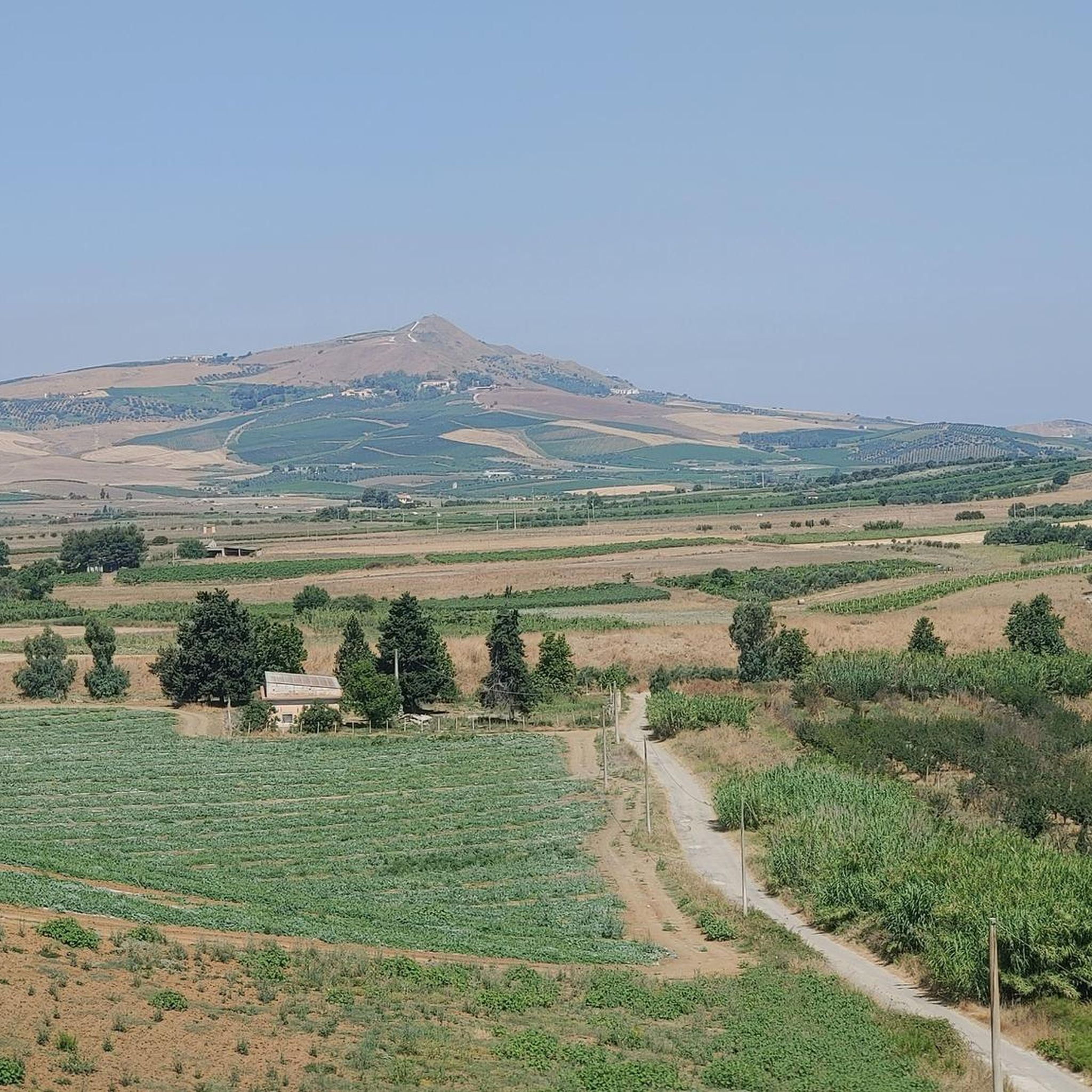
Road cycling routes around San Cipirello traverse a landscape characterized by rolling hills and agricultural valleys, offering varied terrain for cyclists. The region features a mix of open countryside and routes that pass through small towns and historical points. Elevations vary, providing both moderate climbs and more challenging ascents. This area is suitable for road cyclists seeking routes with diverse gradients and scenic views.
Best road cycling routes around San Cipirello
- The most popular road cycling route is Historic Fountain…
Last updated: July 5, 2026
5.0
(1)
49
riders
44.8km
02:02
500m
500m
Moderate road ride. Good fitness required. Mostly well-paved surfaces and easy to ride.
17
riders
183km
09:59
3,220m
3,220m
Hard road ride. Very good fitness required. Some segments of this route may be unpaved and difficult to ride.

Sign up for free
4.3
(3)
11
riders
71.0km
03:28
1,060m
1,060m
Hard road ride. Very good fitness required. Mostly well-paved surfaces and easy to ride.
4
riders
91.4km
04:24
1,260m
1,250m
Hard road ride. Very good fitness required. Mostly well-paved surfaces and easy to ride.
2
riders
56.4km
02:49
800m
800m
Moderate road ride. Good fitness required. Mostly well-paved surfaces and easy to ride.
Our route recommendations are based on thousands of hikes, rides, and runs completed by other people on komoot.
Start today with a free account
Your next adventure awaits.
Login or Signup
Popular around San Cipirello
Tips from the Community

A "ghost town" dating back to the twenty years of Fascism, during which the Sicilian territory was affected by urban and agricultural planning. Borgo Borzellino was designed in the 1930s with the aim of serving 1,500 people in the area between Camporeale and San Cipirello. Its name derives from Domenico Borzellino, a mysterious fascist martyr. Originally intended to be equipped with all the services necessary for the settlers, the following were built: a town hall, a church, a post office, a police station, a school, a restaurant and a shop, artisan workshops, and all the accommodations for the various service workers. But Borgo Borzellino was never a vibrant urban center and saw its decline in the 1960s. Today, it is undergoing restoration work that will hopefully restore some sense of existence to the village.
0
0
A characteristic fountain located at the intersection of provincial roads 20 and 27. Although no longer in use, it continues to be used as a meeting place and a place of commerce for the Camporeale community.
0
0
*November 2025 the bridge was replaced with a "temporary" crossing that allows cycling between Trappeto and Balestrate again, without having to use the SS 187 as a bypass
0
0
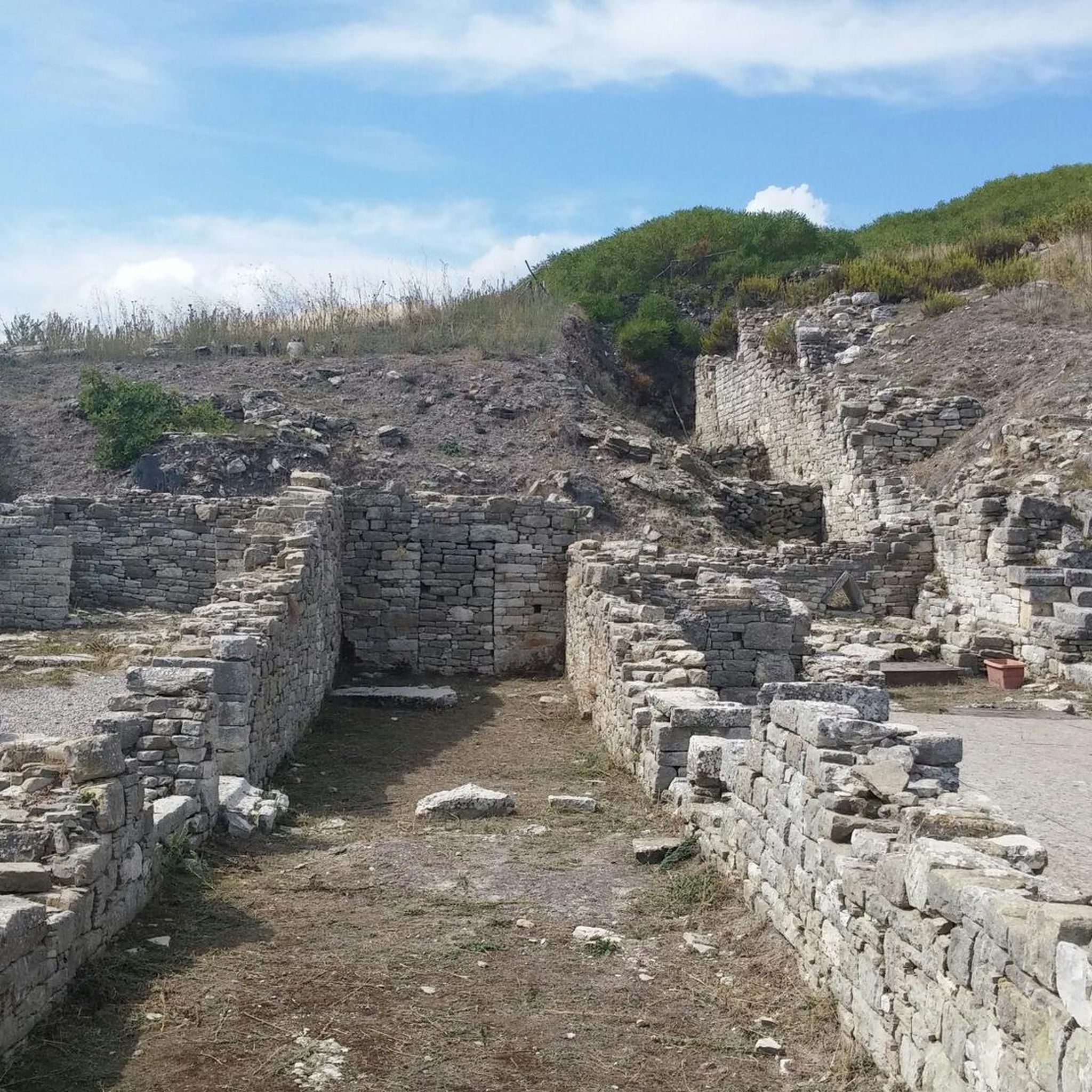
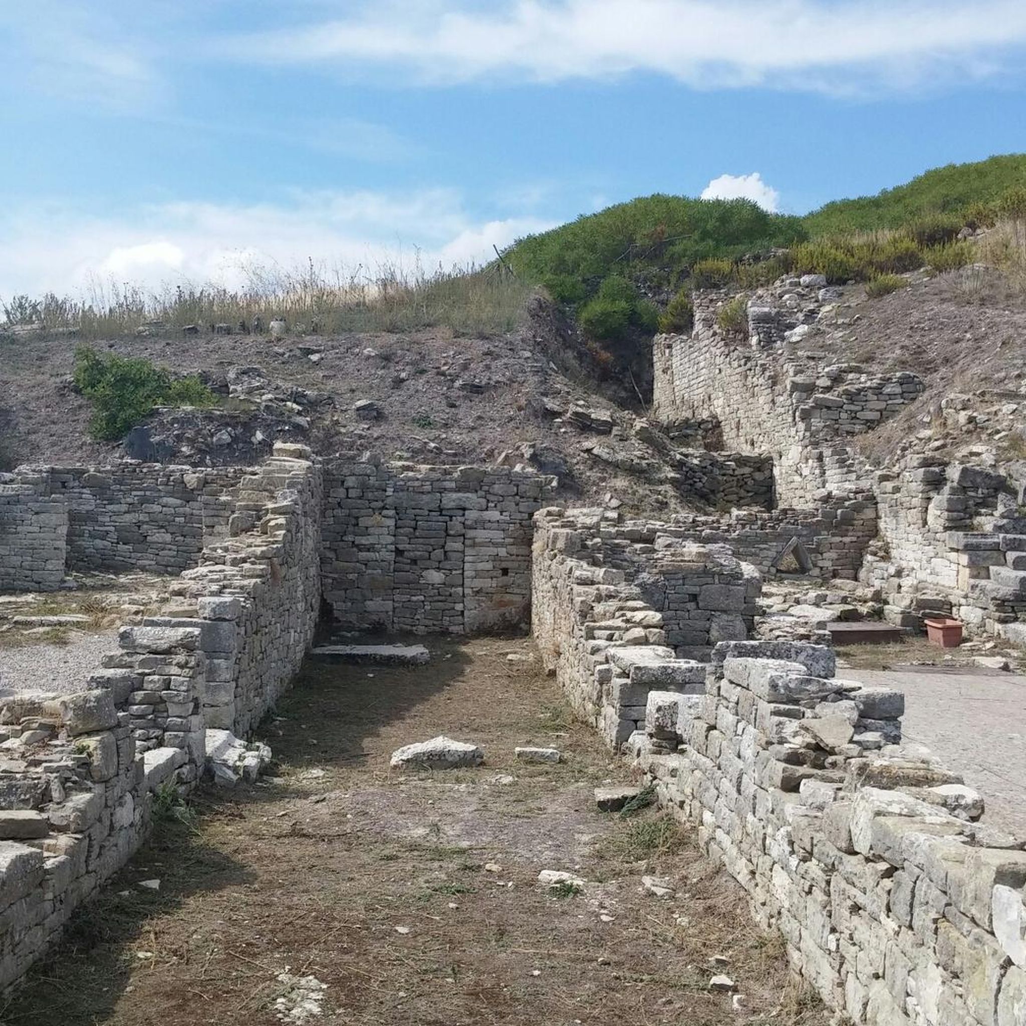
What remains of what must have been a village created specifically during the twenty years of Fascism for the workers building the SP2, the road connecting Partinico to the small towns of San Cipirello and San Giuseppe Jato. Four buildings in a row. You walk along the road and suddenly you see them side by side: first a two-story farmhouse, with its classic reddish color, of which almost all that remains are a memory; then another, just like it, about twenty meters away, another at the same distance, and then yet another, but this one is different, larger, more elaborate, with porticos, balconies, and exposed stone ornaments.
0
0
Starting just outside the town of San Giuseppe Jato, this stretch of provincial road 20 climbs up to the picturesque Portella della Paglia pass, in a succession of hairpin bends and breathtaking views. The surface isn't perfect, but you can pedal safely even on a small section of landslide, which is well-marked. Tackled in autumn/winter, it almost feels like you're not in Sicily.
0
0
Located at the end of Corso Calatafimi and the road to Monreale, it is one of the four historic entrance gates to the city of Palermo, perhaps the most important.
0
0

At certain times it can be busy, even with heavy vehicles.
0
0

A village uninhabited for decades, ever since the entire population was relocated en masse to a brand-new town. Three thousand people, the exodus of survivors of the 1968 earthquake that destroyed entire towns in the provinces of Trapani and Agrigento. Today, only façades remain, baroque railings, old majolica tiles, a tangle of houses leaning against the bell tower of the main church, and stairways that look like they were cut out with scissors on a sheet of paper. Before the earthquake, Poggioreale was a delightful baroque village, with noble palaces, the square with the club, the inn, and everything else. The ruins bear witness to a tragedy from 40 years ago: fear, escape, separation. A place that, due to its beauty and the evocative atmosphere it evokes, has been the setting for numerous famous films: it is here that Tornatore filmed some scenes from Malena and The Star Man. An island out of time, with the hands of the clock stopped on the terrible night of January 15, 1968.
17
0
Frequently Asked Questions
How many road cycling routes are available around San Cipirello?
There are currently 4 road cycling routes documented on komoot for the San Cipirello area, offering a range of experiences for cyclists.
What kind of difficulty levels can I expect for road cycling routes in San Cipirello?
The road cycling routes around San Cipirello are primarily moderate to difficult. You'll find 2 moderate routes and 2 difficult routes, providing varied gradients and challenging ascents suitable for experienced riders.
Are there any long-distance road cycling routes in the San Cipirello area?
Yes, for those seeking longer rides, routes like the Catoio Junction – Gammara climb loop from San Giuseppe Jato cover a significant distance of 44.5 miles (71.6 km), featuring challenging ascents and requiring about 3 hours 30 minutes to complete.
Are there any loop road cycling routes around San Cipirello?
Most of the road cycling routes in the San Cipirello area are designed as loops. For example, the popular Historic Fountain – Zucco Junction loop from Borgetto is a 27.8-mile (44.8 km) route that offers scenic views and rolling terrain.
What are some scenic highlights or landmarks I can see along the road cycling routes?
The routes often pass through areas with notable landmarks and scenic points. You might encounter the Sanctuary of Tagliavia, enjoy views of Lake Poma, or ride through the historic town of Piana degli Albanesi. The region also features a Scenic Winding Road offering picturesque vistas.
What is the best time of year for road cycling in San Cipirello?
The Mediterranean climate of San Cipirello generally offers pleasant conditions for road cycling during spring and autumn. These seasons typically provide milder temperatures and less rainfall, making for more comfortable rides through the rolling hills and valleys.
What kind of terrain defines road cycling in San Cipirello?
Road cycling in San Cipirello is characterized by rolling hills and agricultural valleys. The terrain features a mix of open countryside and routes that pass through small towns, with elevations varying to provide both moderate climbs and more challenging ascents.
What do other road cyclists enjoy most about road cycling in San Cipirello?
The area is highly rated by the komoot community, with an average score of 5.0 stars. Cyclists often praise the diverse gradients, scenic views, and the mix of open countryside with routes passing through historical points.
Are there any routes that offer views of the Conca d'Oro Valley?
Yes, the View of the Conca d'Oro Valley – Intercommunal 7 loop from Borgetto is a moderate 16.3-mile (26.3 km) path specifically designed to offer stunning views of the Conca d'Oro Valley, along with varied gradients.
Are there routes suitable for advanced road cyclists looking for a challenge?
Absolutely. Advanced cyclists will find challenging ascents on routes such as the Sanctuary of Tagliavia – Ascent to Corleone loop from Piana degli Albanesi, which covers 55.1 miles (88.7 km) with significant elevation gain, or the Catoio Junction – Gammara climb loop from San Giuseppe Jato.
Can I find routes that include ascents to specific towns or passes?
Yes, several routes incorporate notable ascents. For instance, the Borgo Borzellino – Ascent to Corleone loop from San Giuseppe Jato includes a climb towards Corleone, offering both a physical challenge and a chance to explore the region's geography.
Most popular routes around San Cipirello
Most popular attractions around San Cipirello

Get inspired with the komoot mobile app


Explore more
Browse the best Road cycling routes in other regions.
