The best walks and hikes around San Cipirello
3.9
(80)
271
hikers
24
hikes
Hiking around San Cipirello offers a variety of trails through the region's hilly terrain, characterized by its natural landscapes and elevation changes. The area features routes that traverse different elevations, providing views of the surrounding countryside. These paths often include ascents and descents, making them suitable for hikers seeking moderate challenges. The landscape around San Cipirello is primarily defined by its undulating hills and open spaces.
Best hiking trails around San Cipirello
- The most popular hiking route is La Pizzuta…
Last updated: July 5, 2026
4.6
(7)
19
hikers
12.6km
04:24
680m
680m
Moderate hike. Good fitness required. Easily-accessible paths. Suitable for all skill levels.
4.3
(6)
14
hikers
14.5km
04:47
670m
670m
Moderate hike. Good fitness required. Easily-accessible paths. Suitable for all skill levels.

Sign up for free
3.8
(4)
15
hikers
8.35km
02:55
460m
460m
Moderate hike. Good fitness required. Easily-accessible paths. Suitable for all skill levels.
4.7
(6)
23
hikers
7.37km
02:18
310m
310m
Moderate hike. Good fitness required. Easily-accessible paths. Suitable for all skill levels.
4.3
(6)
19
hikers
11.0km
03:52
620m
620m
Moderate hike. Good fitness required. Easily-accessible paths. Suitable for all skill levels.
Get access to more routes and recommendations from other explorers.
Sign up for free
Already have an account?
Our route recommendations are based on thousands of hikes, rides, and runs completed by other people on komoot.
Start today with a free account
Your next adventure awaits.
Login or Signup
Popular around San Cipirello
Tips from the Community

Unfortunately it is very dirty, not well managed by the forestry corps
0
0
Be careful when entering the Garrone cave and it is very slippery from month 09 to month 06, bring a rope with you if you want to go inside the cave itself.
0
0

Beautiful church, in the middle of Piana degli Albanese
7
0
Beautiful pass at an altitude of 1044 meters. Located on the Sentiero Italia.
6
0

Suggestive and enchanting cave, covered with soft moss and green leaves
0
0

The city of Piana degli Albanesi is located on a plateau in the province of Palermo. The largest Albanian-speaking community in Italy has lived here for centuries, hence the name.
2
0

At 1,130 meters above sea level, this peak offers a wonderful panorama once conquered.
0
0
Frequently Asked Questions
How many hiking trails are available around San Cipirello?
There are 23 hiking routes around San Cipirello, offering a variety of experiences through the region's hilly landscapes. These include 4 easy trails and 19 moderate trails, catering to different fitness levels.
Are there any easy hiking trails suitable for beginners in San Cipirello?
Yes, San Cipirello offers 4 easy hiking trails. These routes are generally shorter and have less elevation gain, making them ideal for beginners or those looking for a more relaxed walk through the countryside.
What kind of terrain can I expect on hikes around San Cipirello?
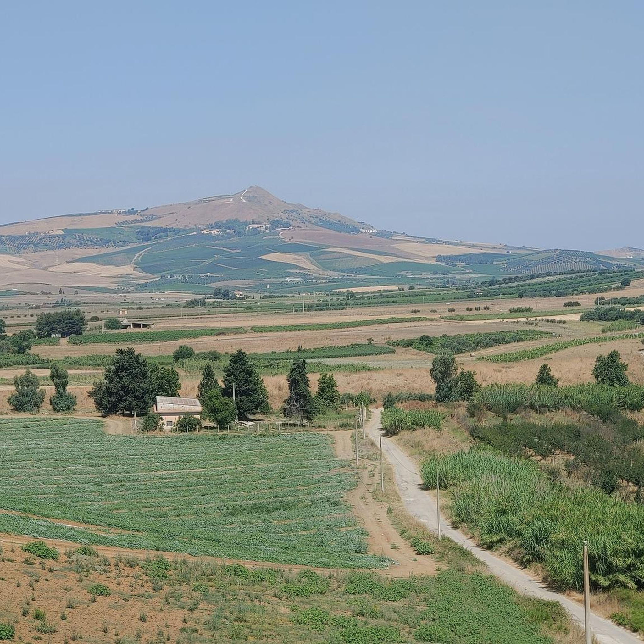
The terrain around San Cipirello is primarily characterized by rolling hills, varied elevations, and open countryside. Hikers can expect paths with ascents and descents, offering moderate challenges and views of the surrounding natural landscapes.
Are there any circular hiking routes in San Cipirello?
Yes, many of the trails around San Cipirello are circular. For example, the La Pizzuta – Garrone Cave loop from Portella Ginestra is a moderate 14.5 km loop, and the Monte Kumeta loop from Portella Ginestra offers panoramic views on a 7.4 km loop.
What are some notable landmarks or attractions I can see while hiking in the area?
While hiking around San Cipirello, you can explore several interesting points. Consider visiting the Sanctuary of Tagliavia, enjoying the views from Garrone Pass, or seeing Lake Poma. The Piana degli Albanesi is also a significant settlement nearby.
What do other hikers say about the trails in San Cipirello?
The hiking trails in San Cipirello are highly rated by the komoot community, with an average score of 4.0 stars from over 60 reviews. Hikers often praise the varied terrain and the scenic views from elevated points like Monte Kumeta.
Are there any longer, more challenging hikes available?
While most trails are moderate, some offer a good challenge due to their length and elevation gain. The La Pizzuta – Garrone Cave loop from Portella Ginestra is a substantial 14.5 km route with significant elevation, taking nearly 5 hours to complete.
Are there any hikes that offer panoramic views?
Yes, the Monte Kumeta loop from Portella Ginestra is particularly known for offering panoramic views from Monte Kumeta. This moderate 7.4 km path is a great option for scenic vistas.
What is the typical duration for a hike in San Cipirello?
Hiking durations vary depending on the route's length and difficulty. For example, the Monte Kumeta loop can be completed in about 2 hours 18 minutes, while the longer La Pizzuta – Ascent to Pelavet loop typically takes around 3 hours 27 minutes.
Are there any trails that pass through interesting natural features like caves?
Yes, the La Pizzuta – Garrone Cave loop from Portella Ginestra is a notable route that includes the Garrone Cave, offering a unique natural feature along the trail.
Are there any hikes starting from San Giuseppe Jato?
Yes, you can find routes starting from nearby locations. For instance, the Masseria della Procura – Masseria Cannavera loop begins from San Giuseppe Jato, offering a moderate 9.3 km hike.
Most popular routes around San Cipirello
Most popular attractions around San Cipirello

Get inspired with the komoot mobile app


Explore more
Browse the best Hikes in other regions.
