The best running trails in Sierras De Cazorla, Segura Y Las Villas
4.8
(5)
501
runners
43
runs
Jogging in Sierras De Cazorla, Segura Y Las Villas offers extensive routes through Spain's largest protected area. The region features a diverse orography with rugged mountains, limestone massifs, and deep valleys. Numerous rivers, including the Guadalquivir and Segura, carve through dense forests, creating varied running environments. This UNESCO Biosphere Reserve provides a network of trails amidst its varied landscapes and water features.
Best jogging routes in Sierras De Cazorla, Segura Y Las Villas
- The most popular jogging route is Puente…
Last updated: July 7, 2026
4
runners
22.4km
03:10
740m
740m
Challenge yourself on the 13.9-mile Puente Herrerías - Poyos de la Mesa Trail, a difficult jog with stunning views in Sierra de Cazorla.
3
runners
Hard run. Very good fitness required. Mostly accessible paths. Some sure footedness required.

Sign up for free
3
runners
Hard run. Very good fitness required. Sure-footedness, sturdy shoes and alpine experience required.
1
runners
8.40km
01:00
190m
190m
This moderate 5.2-mile (8.4 km) circular trail running route around Embalse de Aguascebas offers 633 feet (193 m) of elevation gain in under
1
runners
18.3km
02:04
370m
370m
Alto del Montero Circular Trail is a difficult 11.3-mile (18.3 km) jogging route in Sierras de Cazorla, Segura y Las Villas Natural Park.
Get access to more routes and recommendations from other explorers.
Sign up for free
Already have an account?
Our route recommendations are based on thousands of hikes, rides, and runs completed by other people on komoot.
Start today with a free account
Your next adventure awaits.
Login or Signup
Popular around Sierras De Cazorla, Segura Y Las Villas
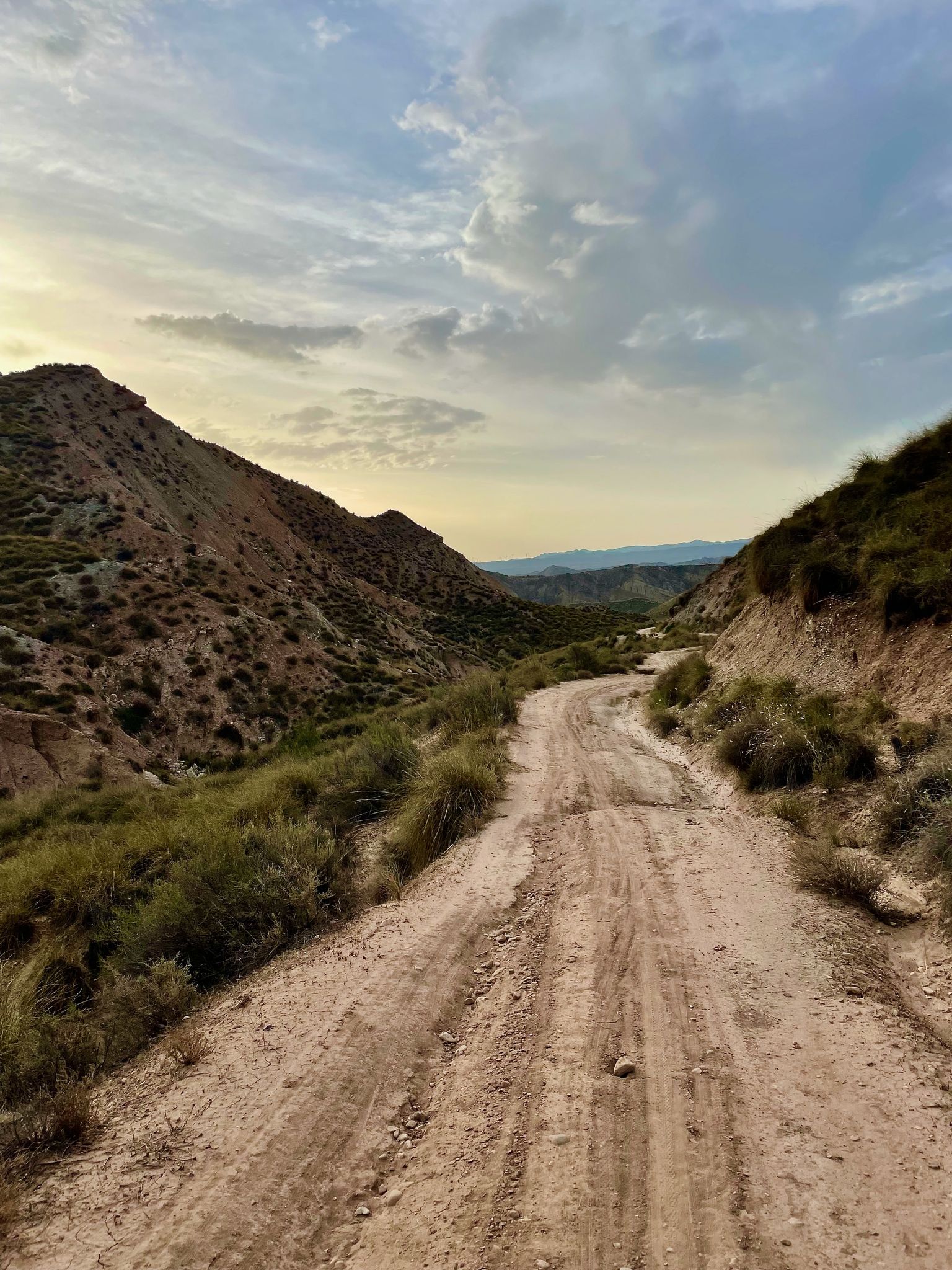
Badlands 2021 — 750km of gravel in the Spanish deserts

Bikepacking the mountains and deserts of Andalucía

12 hiking gems throughout Spain
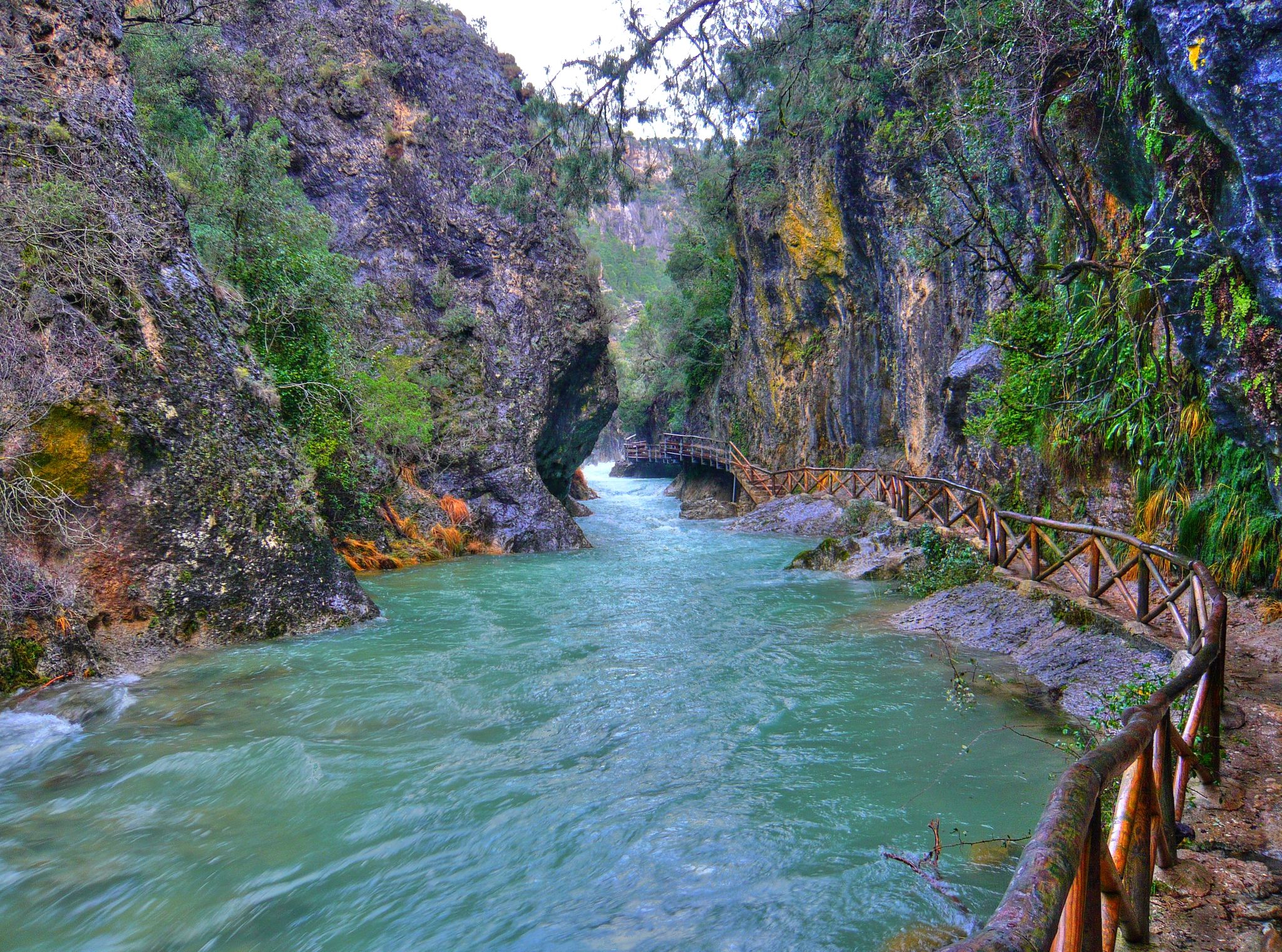
Through the Borosa Gorge to the highest peak of the Sierra de Segura
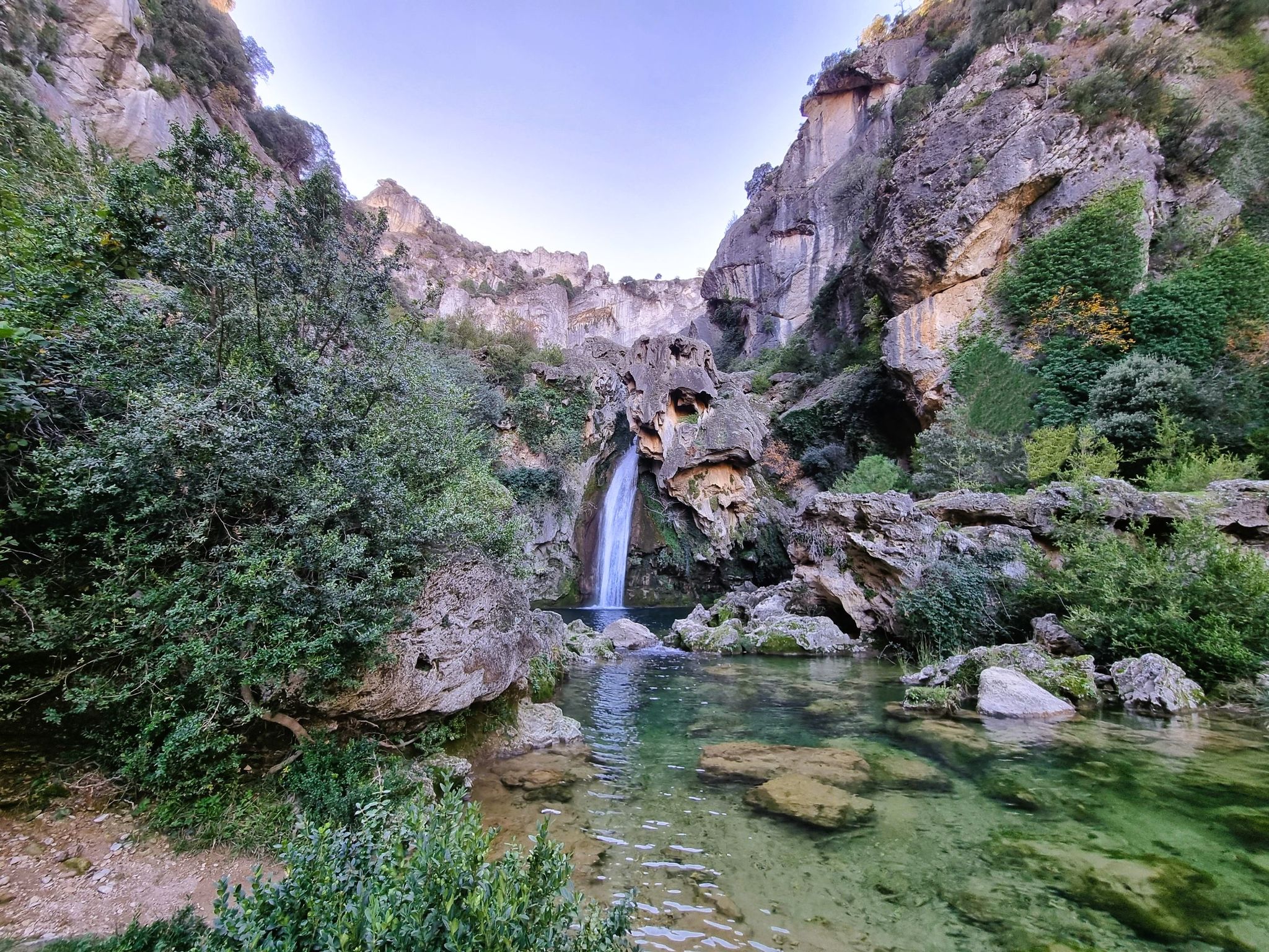
Jaén, inland paradise – three Tours from Cazorla

Bikepacking in Andalusia – Europe's gravel paradise
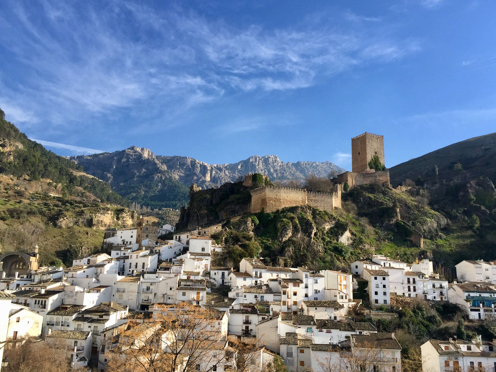
European Divide Trail across the Iberian Peninsula – central
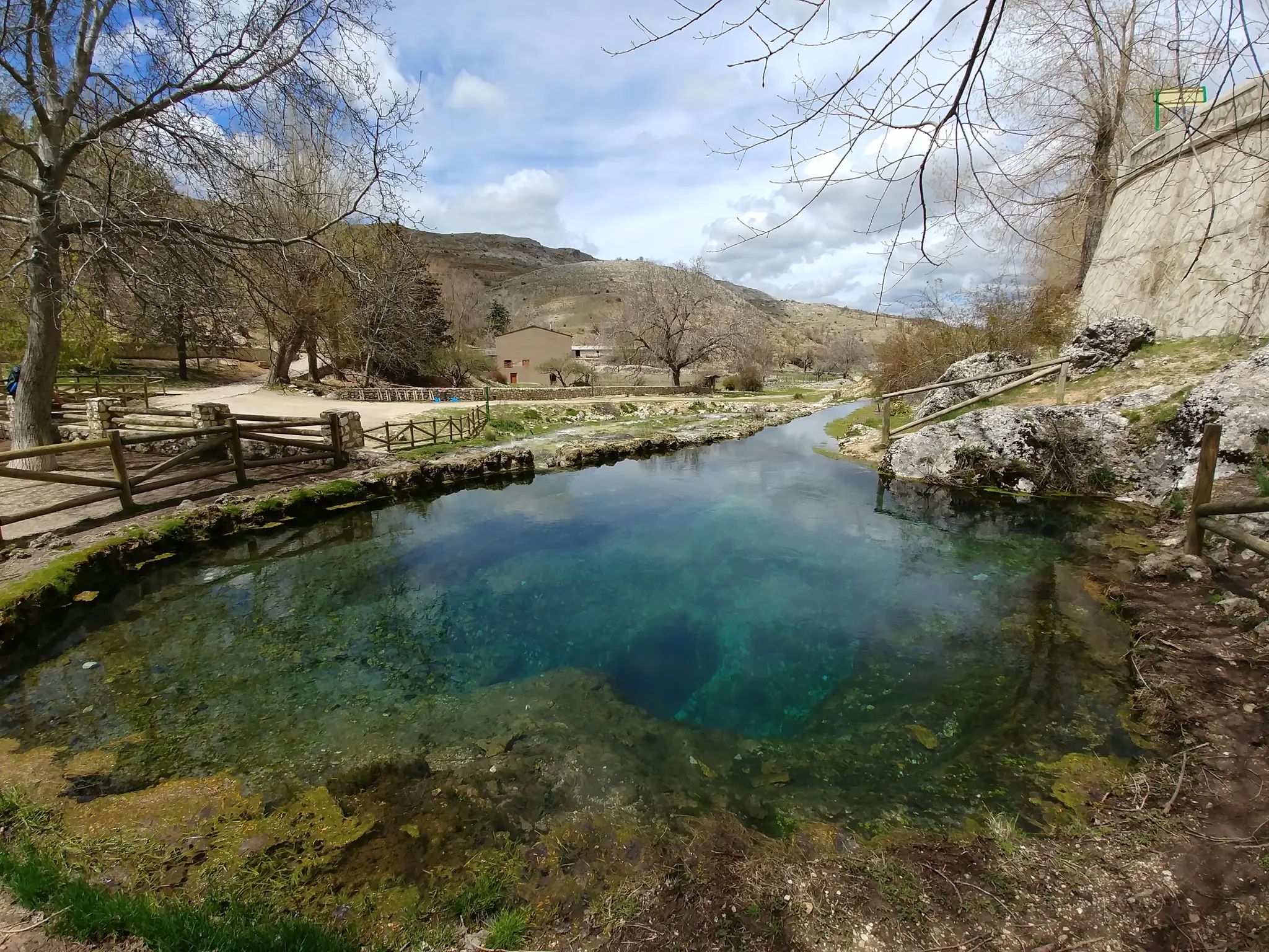
Transhumance in the Sierra de Segura – hiking the GR 144

Wild and free Andalusia – Transandalus through the interior
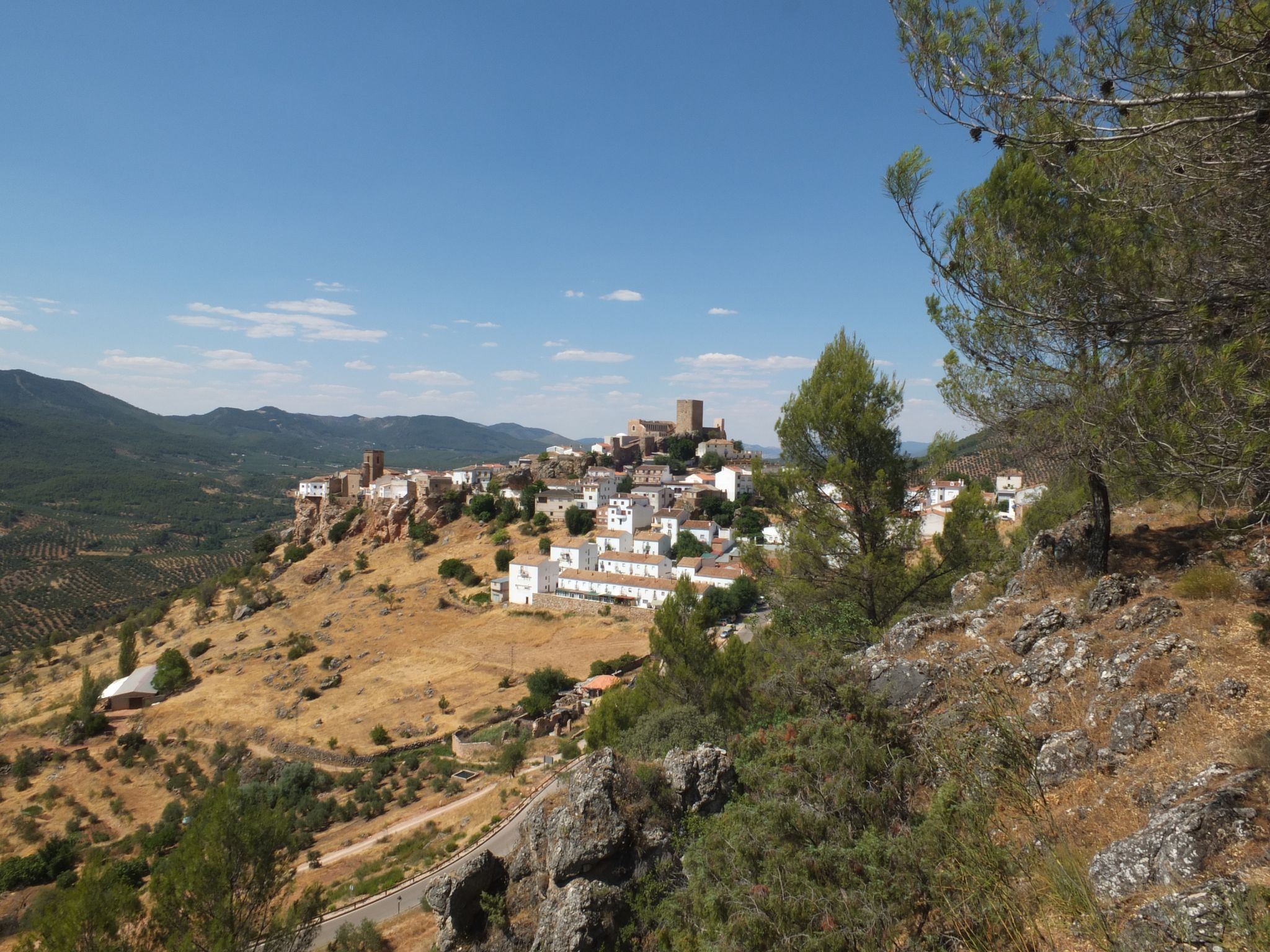
Mountains and olive groves in the Sierra de Segura – GR 146
Other adventures in Sierras De Cazorla, Segura Y Las Villas


Tips from the Community

From this place there are impressive views of this part of the Sierra de Cazorla and Segura.
0
0

The Cueva del Agua in Santiago-Pontones is an impressive karst formation located in the Sierra de Segura, in Jaén. This cave is known for its natural beauty and spectacular surroundings, which include waterfalls and rich vegetation.
5
0
The Aguascebas Reservoir, also known as the Aguaderondo Reservoir, is located in the municipality of Villacarrillo. This reservoir was built between 1967 and 1969 on the streams of Aguascebas de la Fuente del Tajo and Aguascebas de Chorro Gil. The natural surroundings of the reservoir are impressive, with a karst landscape that includes waterfalls and a rich flora and fauna. Pine forests and riverside vegetation predominate among the vegetation, while common and rainbow trout can be found in its waters.
5
0

Fabulous views. This enclave has a bad reputation among hikers for having a paved section and for being a place more popular for free flight than for other activities, but it still has a great diversity of possibilities.
2
0
At the entrance to Poyotello –a small and singular village belonging to the municipality of Santiago Pontones– a path starts that continuously descends and will take us to the water cave. From the Cueva del Agua we can continue the path, which always runs parallel to the Segura riverbed until it ends at the village of Huelga Utrera.
13
0

It is a huge natural cave from which abundant pure and fresh water flows, which in just a few meters adds to the Segura river that passes very close.
2
0
It is a huge natural cave from which abundant pure and fresh water flows, which in just a few meters adds to the Segura River that passes very close.
3
0

The Cueva del Agua is a large cave open on both sides that was formerly used as a shelter for keeping cattle. At its base, a mighty spring gushes out that seeps into the very perimeter of the cave and disappears under the ground.
3
0
Frequently Asked Questions
How many running routes are available in Sierras De Cazorla, Segura Y Las Villas?
There are over 35 dedicated running routes in Sierras De Cazorla, Segura Y Las Villas, offering a wide range of experiences for all abilities. The park's extensive network of paths and trails ensures plenty of options.
Are there easy jogging routes for beginners or those seeking a relaxed run?
Yes, while many routes are challenging, there are options for easier runs. For example, the Aguascebas Reservoir Loop is a moderate 8.4 km path, offering a more relaxed experience with beautiful water views. The park's diverse terrain includes gentler sections suitable for beginners.
What kind of terrain can I expect on the running trails in this region?
The region offers incredibly varied terrain, from soil paths through dense pine forests to rocky sections in rugged mountains and limestone massifs. You'll encounter wide, deep valleys, river gorges, and trails alongside significant rivers like the Guadalquivir and Segura. This diversity provides a range of challenges and scenic backdrops for every run.
Are there any circular running routes in Sierras De Cazorla, Segura Y Las Villas?
Yes, there are several circular running routes. A notable one is the Charco del humo and cueva del agua from Pontones, which is a 16.9 km loop leading through river valleys and forested areas. The park's extensive trail network, including the GR-247 "Sendero Bosques del Sur," also offers many possibilities for creating circular runs.
Can I find running routes with scenic views or waterfalls?
Absolutely! The park is renowned for its breathtaking natural beauty. Many routes offer panoramic views from mountainous areas, while others follow rivers, leading to stunning waterfalls. The Borosa River trail, for instance, is famous for its spectacular scenery and numerous waterfalls, including the renowned Linarejos waterfall. You can also visit the Malena Waterfall.
What do other runners say about the trails in Sierras De Cazorla, Segura Y Las Villas?
The running routes in Sierras De Cazorla, Segura Y Las Villas are highly rated by the komoot community, with an average score of 4.8 stars from over 5 reviews. Runners often praise the diverse landscapes, the challenge of the mountainous terrain, and the beauty of the river valleys and dense forests.
Are there any interesting landmarks or natural features to see along the running trails?
Yes, the region is rich in natural and cultural landmarks. Along your runs, you might encounter dramatic gorges like Cerrada del Utrero, tranquil lakes such as the Tranco Reservoir, and dense forests of pines and holm oaks. There are also caves like Cueva del Agua and the Cave of the Virgin of Tíscar, as well as historical elements in charming villages surrounding the park.
What are some of the more challenging running routes in the park?
For experienced runners seeking a challenge, the park offers numerous difficult routes. The Puente Herrerías - Poyos de la Mesa Trail is a difficult 22.4 km route with significant elevation gain. Another demanding option is El Yelmo - trail running, an 18.9 km path offering panoramic views across diverse landscapes.
Are there any facilities or shelters along the running routes?
While the park is largely wild, there are some facilities and shelters. You might find refuges like Campo del Espino Shelter or Fuente de Acero Refuge. Additionally, there's Camping Llanos de Arance and the El Hornico Hostel and Nature Center, which can be useful points for longer runs or multi-day adventures.
What wildlife might I encounter while running in Sierras De Cazorla, Segura Y Las Villas?
As a UNESCO Biosphere Reserve and Special Protection Area for Birds, the park is rich in biodiversity. You might spot various wildlife, including mountain goats, red deer, and wild boars, especially during quieter times of the day. The park is also home to a multitude of bird species, making it a fantastic place for nature observation while you run.
Is it possible to find shaded running routes, especially during warmer months?
Yes, the park is characterized by dense forests of pines, holm oaks, and acers, which provide ample shade. Routes along rivers, such as the Cerezuelo River trail, also offer shaded areas and lush greenery, making them ideal for running during warmer periods or for those who prefer a cooler environment.
Most popular routes in Sierras De Cazorla, Segura Y Las Villas
Most popular attractions in Sierras De Cazorla, Segura Y Las Villas

Get inspired with the komoot mobile app


Explore more
Browse the best Running Trails & Routes in other regions.
