The best gravel rides in Sierras De Cazorla, Segura Y Las Villas
5.0
(3)
66
riders
15
rides
Gravel biking in Sierras De Cazorla, Segura Y Las Villas offers diverse terrain across Spain's largest protected natural area. The region is characterized by abrupt mountains, extensive pine forests, and deep river valleys, providing varied landscapes for cyclists. Gravel bike trails here include 4WD tracks and quiet mountain roads, with elevations ranging from lower valleys to peaks over 1800 meters. This varied topography ensures a range of routes suitable for different skill levels and fitness requirements.
Best gravel bike trails…
Last updated: July 2, 2026
5.0
(1)
11
riders
45.5km
03:50
940m
940m
Hard gravel ride. Very good fitness required. Mostly paved surfaces. Suitable for all skill levels.
1
riders
72.0km
06:17
2,020m
2,010m
Hard gravel ride. Very good fitness required. Mostly paved surfaces. Suitable for all skill levels.

Sign up for free
6
riders
28.5km
02:34
680m
680m
Hard gravel ride. Very good fitness required. Mostly paved surfaces. Suitable for all skill levels.
2
riders
19.0km
01:34
400m
400m
Moderate gravel ride. Good fitness required. Mostly paved surfaces. Suitable for all skill levels.
15
riders
61.5km
04:55
1,510m
1,510m
Hard gravel ride. Very good fitness required. Mostly paved surfaces. Suitable for all skill levels.
Get access to more routes and recommendations from other explorers.
Sign up for free
Already have an account?
Our route recommendations are based on thousands of hikes, rides, and runs completed by other people on komoot.
Start today with a free account
Your next adventure awaits.
Login or Signup
Popular around Sierras De Cazorla, Segura Y Las Villas
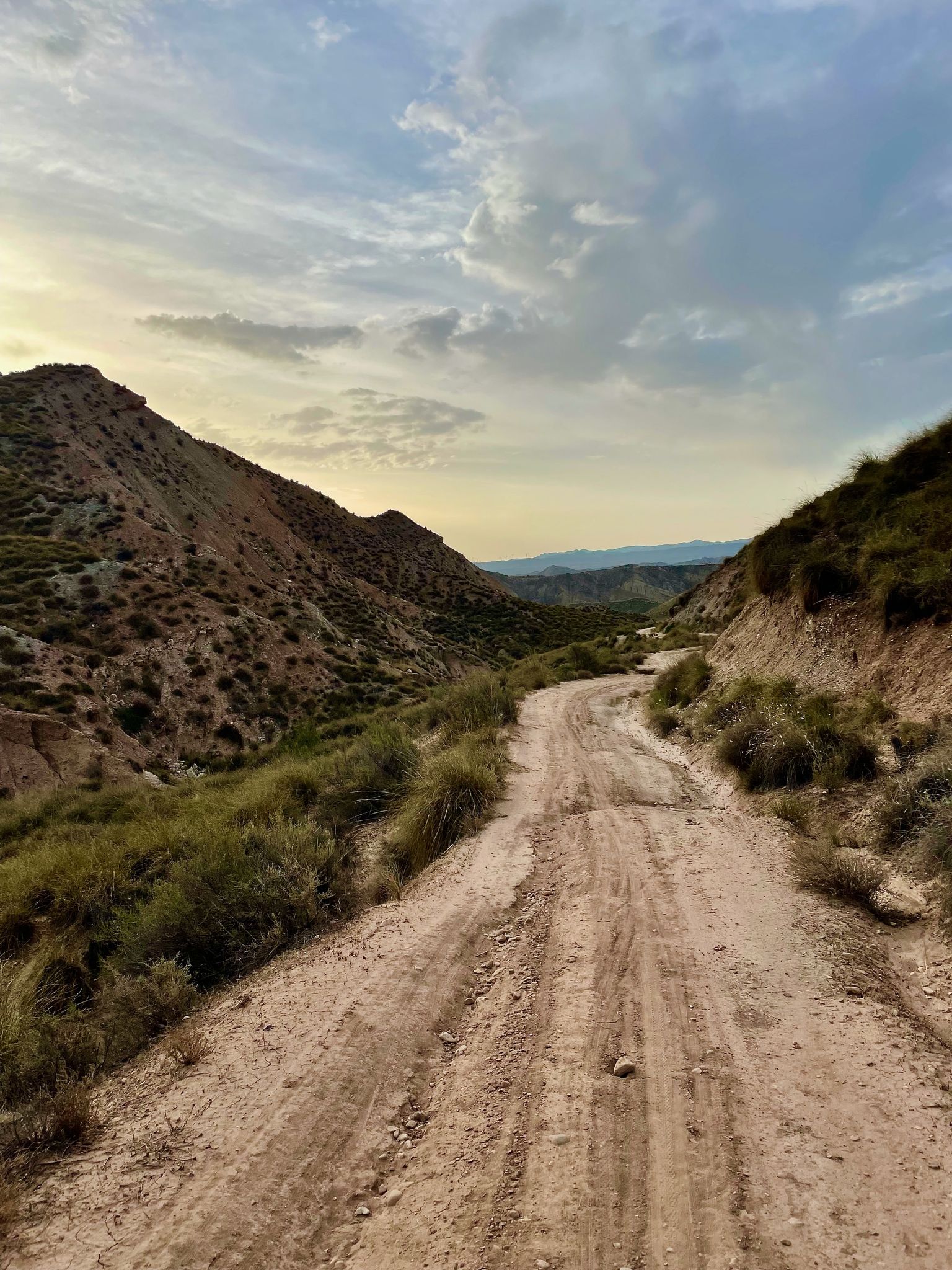
Badlands 2021 — 750km of gravel in the Spanish deserts

Bikepacking the mountains and deserts of Andalucía

12 hiking gems throughout Spain
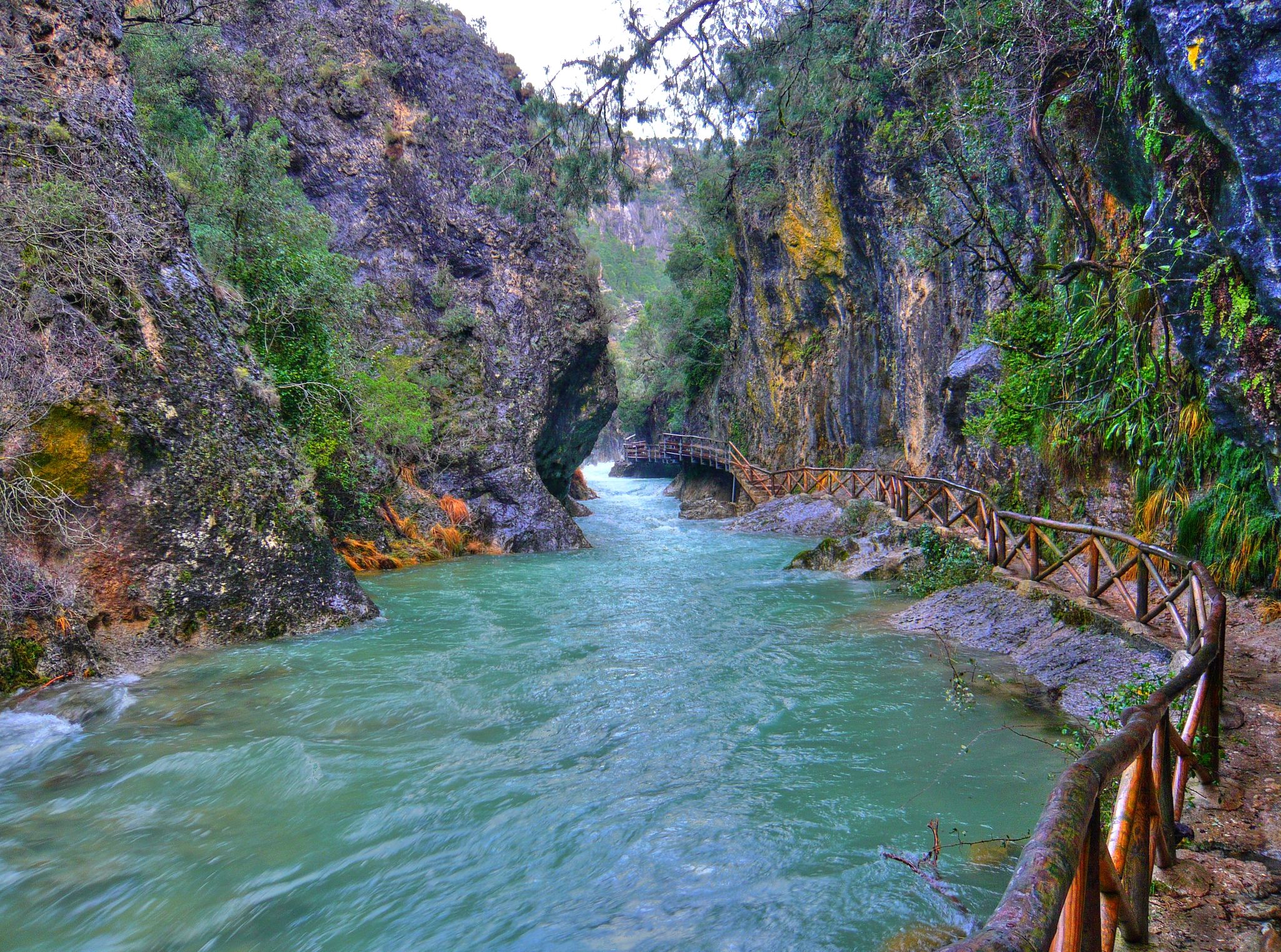
Through the Borosa Gorge to the highest peak of the Sierra de Segura
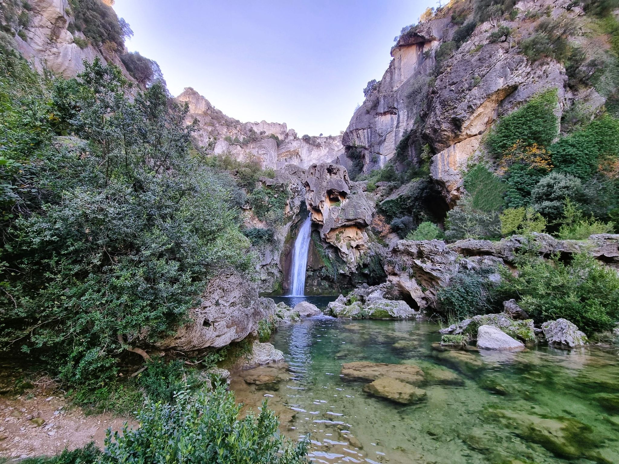
Jaén, inland paradise – three Tours from Cazorla
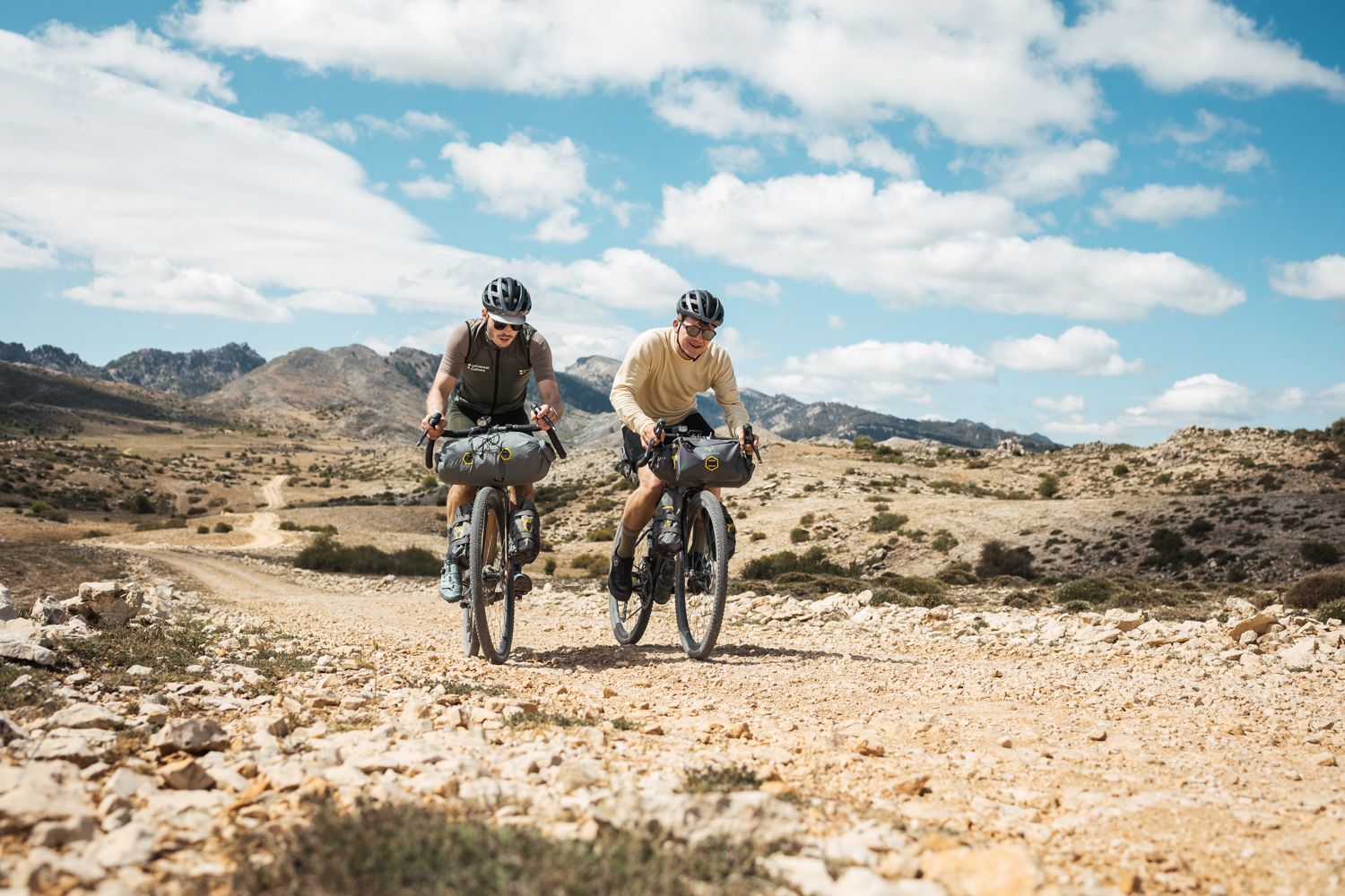
Bikepacking in Andalusia – Europe's gravel paradise
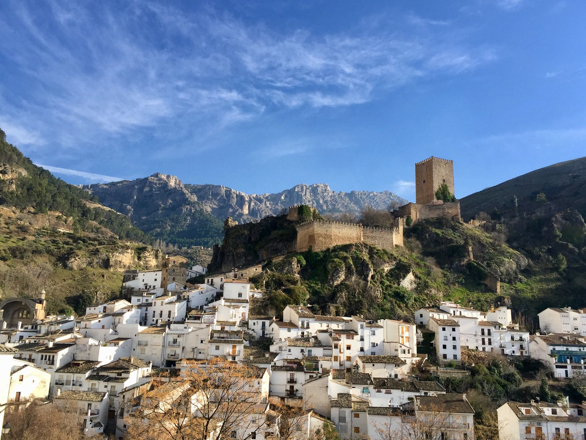
European Divide Trail across the Iberian Peninsula – central
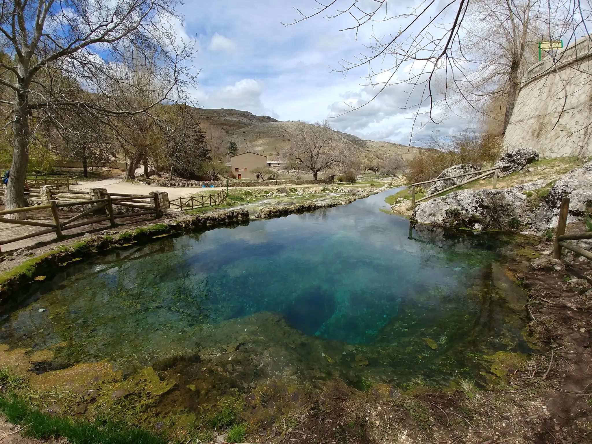
Transhumance in the Sierra de Segura – hiking the GR 144

Wild and free Andalusia – Transandalus through the interior
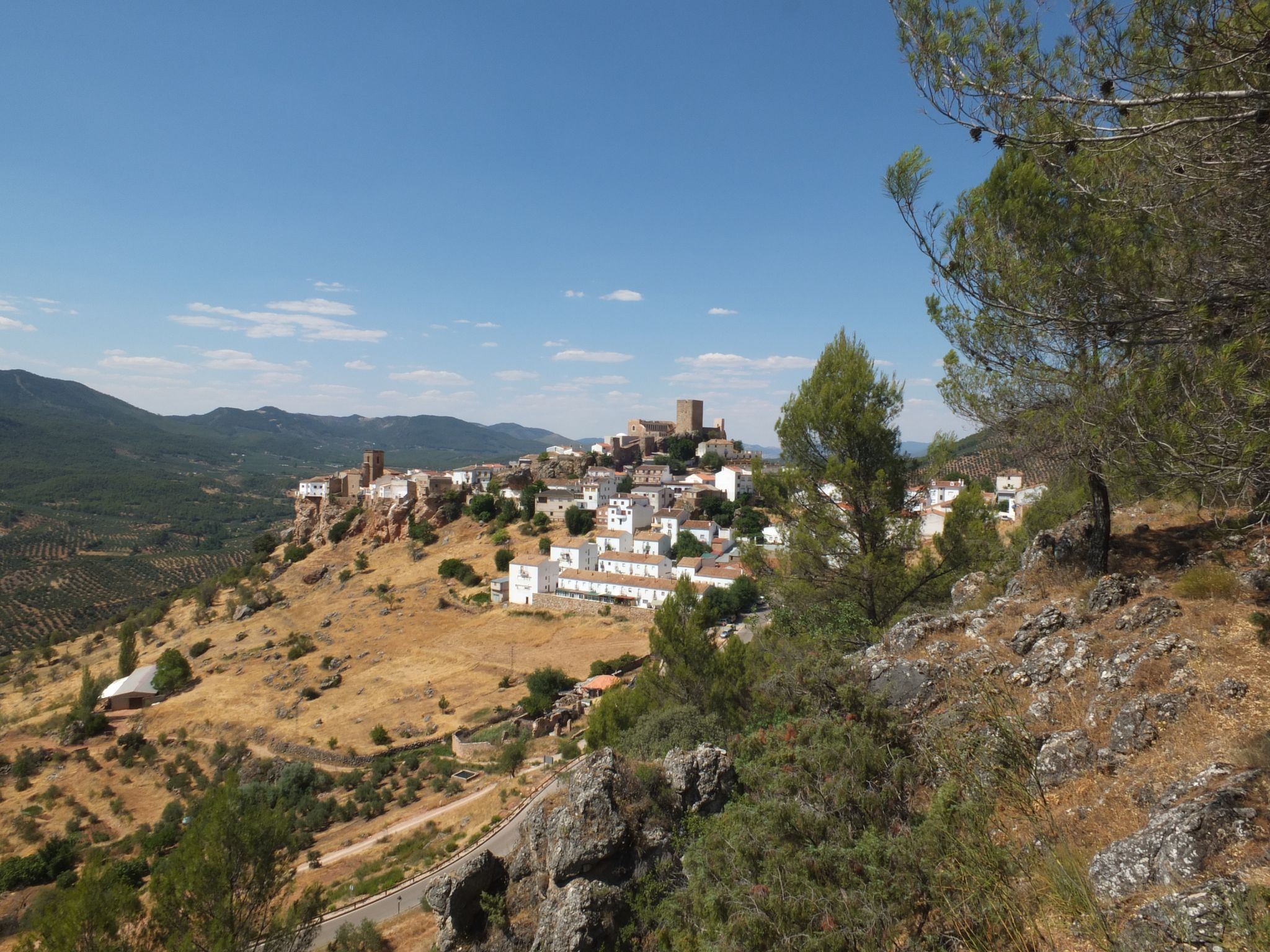
Mountains and olive groves in the Sierra de Segura – GR 146
Other adventures in Sierras De Cazorla, Segura Y Las Villas


Tips from the Community

From this viewpoint, we will have the opportunity to contemplate a beautiful panorama in which the castle of Las Cinco Esquinas stands out on the left, located on the Loma del Castillo. In front is the castle of La Yedra together with the urban center of Cazorla. And to the right, Pollos de la Escaleruela, Cerro de la Laguna, and Peña de los Halcones can be seen.
0
0
El Refugio del Collado Zamora (often associated with the route to Gilillo) is a rehabilitated forest refuge located in the Sierra de Cazorla, key to the GR-247 trail. It is frequently used as a starting point or stopover to ascend to Gilillo or connect to areas such as Cuerda del Gilillo.
0
0

Added to the collection: https://www.komoot.com/de-de/collection/3600632/-naturdenkmaeler-besondere-baeume-und-weitere-schaetze-der-natur
0
0

Small center with very large parking lot
7
0

I knew that Santiago de la Espada is one of the largest towns in Spain, but I never imagined that the entire Senda del Borosa was within the municipality.
1
0
Last year in August (2024) it was brimming with energy and enthusiasm, but this year (2025) it's dry again. There's water, but it doesn't even fill half the pool. The water filters a few meters down, into Fuente Segura de Abajo.
1
0

Today at the Borosa and Las Truchas streams the water is brown, due to the sediments carried by the rains of the last few days. In the stream the water is transparent and crystal clear, an option for less rural bathers on days like this! ;)
1
0
Frequently Asked Questions
How many gravel bike trails are available in Sierras De Cazorla, Segura Y Las Villas?
There are over 10 gravel bike trails in Sierras De Cazorla, Segura Y Las Villas, offering a variety of experiences across this vast natural park. The routes are highly rated by the komoot community, with an average score of 5.0 stars.
What kind of terrain can I expect on gravel bike trails in Sierras De Cazorla, Segura Y Las Villas?
The terrain is incredibly varied, ranging from 4WD tracks and quiet mountain roads to some singletrack sections. You'll encounter abrupt mountains, extensive pine forests, and magnificent karstic formations of dolomitic limestone. Elevations vary significantly, from lower valleys to peaks over 1800 meters, providing a mix of challenging climbs and scenic trails.
Are there any beginner-friendly gravel bike trails in the region?
While many routes are considered difficult, there are options for those seeking a more moderate experience. For example, the Source of the Segura River loop from Pontones is a moderate 11.8-mile (19.0 km) path that explores the upper reaches of the river, offering scenic views without extreme difficulty.
What are some of the longer-distance gravel biking options in Sierras De Cazorla?
For longer rides, consider routes like the Campo del Espino Shelter – Refugio Campo del Espino loop from Santiago de la Espada, which covers nearly 58 km. Additionally, the park is home to the GR247, a 309 km loop that, while primarily a footpath, is also suitable for cyclists and can be broken into multiple stages for an extended adventure.
Are there gravel routes that pass by notable natural attractions or viewpoints?
Absolutely. Many routes offer stunning views and pass by significant natural features. You might encounter highlights such as the Puerto de las Palomas Viewpoint, offering spectacular vistas over the Guadalquivir Valley, or the Calavera Waterfall. The park is also known for its extensive hydrographic network, including the Guadalquivir and Segura rivers, and reservoirs like El Tranco.
What is the best season for gravel biking in Sierras De Cazorla, Segura Y Las Villas?
The park offers diverse conditions throughout the year. Spring and autumn generally provide the most pleasant temperatures for gravel biking. Summers can be hot, especially in lower elevations, while higher altitudes might present black pines, yew trees, and gall-oaks, with Austrian pine being an emblem of the reserve. Winter routes are possible, but some higher passes might be affected by snow or colder conditions, so checking local weather is always recommended.
Can I find circular gravel bike routes in the area?
Yes, many of the gravel bike trails are designed as loops, allowing you to start and finish in the same location. Popular circular routes include the Cazorla – Cazorla loop from Cazorla, which takes you through mountainous terrain around the town, and the Refugio Campo del Espino – Campo del Espino Shelter loop from Hornos.
What are some unique landscapes I might experience while gravel biking here?
Beyond the extensive pine forests and river valleys, you can discover unique 'lunar landscapes' on high mountain plateaus. The park's karstic formations, such as the baroque Cerrada de Elías, also add to the distinctive scenery. Some routes even connect to more arid areas like the Gorafe Desert, offering a stark contrast in environment.
Are there any specific challenges for advanced gravel bikers in Sierras De Cazorla?
Advanced riders will find plenty of challenging routes with significant elevation changes and technical sections. The park's abrupt mountains and high peaks, such as Empanadas (2107 meters) and Alto de la Cabrilla (2032 meters), provide demanding climbs. The Arroyo de las Truchas loop from La Vega is a difficult 28.2-mile (45.3 km) trail featuring substantial elevation through forested areas, perfect for experienced riders.
What do other gravel bikers enjoy most about the trails in Sierras De Cazorla, Segura Y Las Villas?
The area is highly rated by the komoot community, with an average score of 5.0 stars. Reviewers often praise the diverse and stunning landscapes, the quality of the gravel grinding tracks, and the sense of adventure found in Spain's largest protected natural area. The mix of challenging climbs and scenic trails through extensive pine forests and along river valleys is frequently highlighted.
Are there any cultural or historical sites accessible from the gravel bike routes?
Yes, the park is rich in cultural heritage. You might pass through charming whitewashed villages or spot historical sites. The town of Cazorla itself, a common starting point for rides, has a rich history. The region also features castles, such as La Iruela, and remnants from Iberian, Roman, and Arab civilizations, offering glimpses into the area's past.
Most popular routes in Sierras De Cazorla, Segura Y Las Villas
Most popular attractions in Sierras De Cazorla, Segura Y Las Villas

Get inspired with the komoot mobile app


Explore more
Browse the best Gravel rides in other regions.
