The best walks and hikes in La Sainte-Baume
4.4
(7575)
52,536
hikers
438
hikes
Hiking in La Sainte-Baume offers diverse landscapes within the Sainte-Baume Regional Natural Park, spanning over 81,000 hectares. The region is characterized by majestic limestone cliffs and mountains, dense forests including a unique "relique" forest, and varied terrains like gorges and valleys. Trails lead to panoramic plateaus, providing extensive views across Provence.
Best hiking trails in La Sainte-Baume
- The most popular hiking route is Chaîne de la Sainte-Baume - loop in the Sainte-Baume Regional Natural Park, a 9.1 miles (14.7…
Last updated: September 26, 2026
4.6
(86)
626
hikers
Moderate hike. Good fitness required. Easily-accessible paths. Suitable for all skill levels.
4.6
(85)
573
hikers
4.33km
01:13
90m
90m
Easy hike. Great for any fitness level. Easily-accessible paths. Suitable for all skill levels.

4.4
(38)
203
hikers
13.4km
04:23
570m
560m
Moderate hike. Good fitness required. Easily-accessible paths. Suitable for all skill levels.
3.8
(44)
142
hikers
8.31km
02:20
160m
160m
Moderate hike. Good fitness required. Easily-accessible paths. Suitable for all skill levels.
4.8
(5)
35
hikers
22.4km
07:23
920m
920m
Hard hike. Very good fitness required. Mostly accessible paths. Sure-footedness required.
Get access to more routes and recommendations from other explorers.
Already have an account?
Our route recommendations are based on thousands of hikes, rides, and runs completed by other people on komoot.
Start today with a free account
Your next adventure awaits.
Popular around La Sainte-Baume
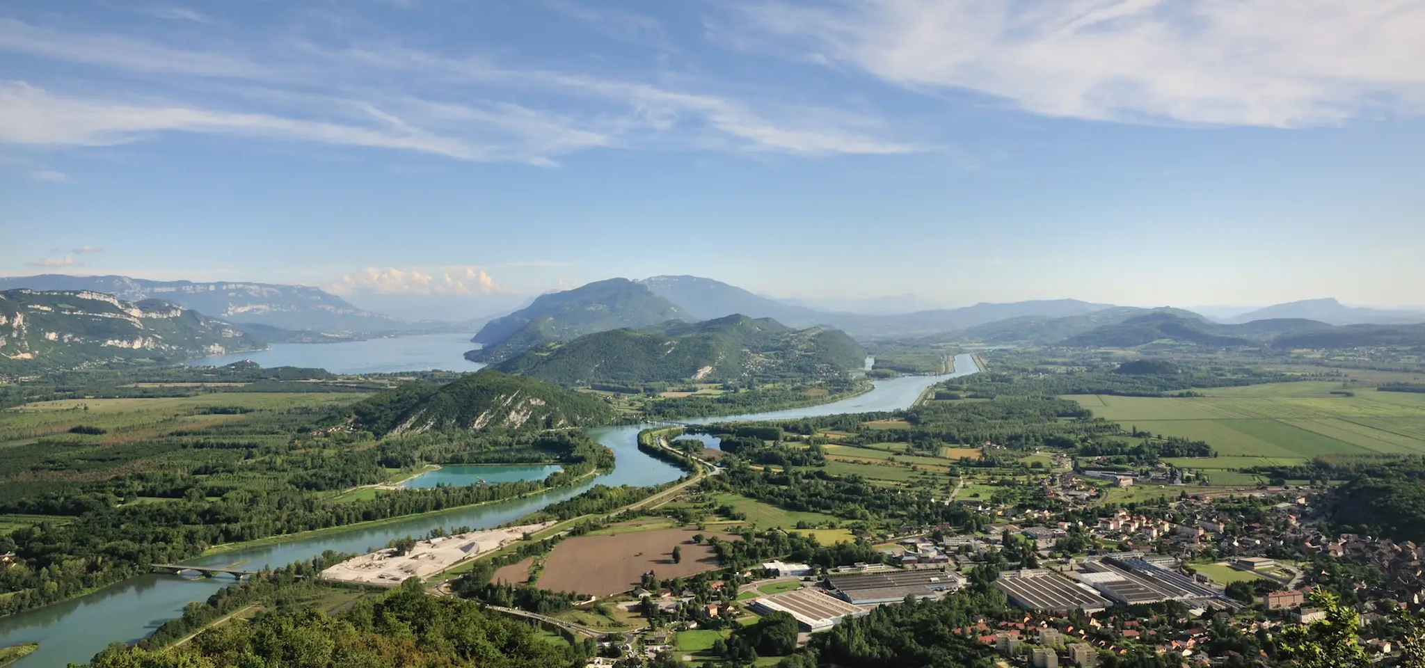
GR 9 from the Jura to the Mediterranean – Crossing contrasts
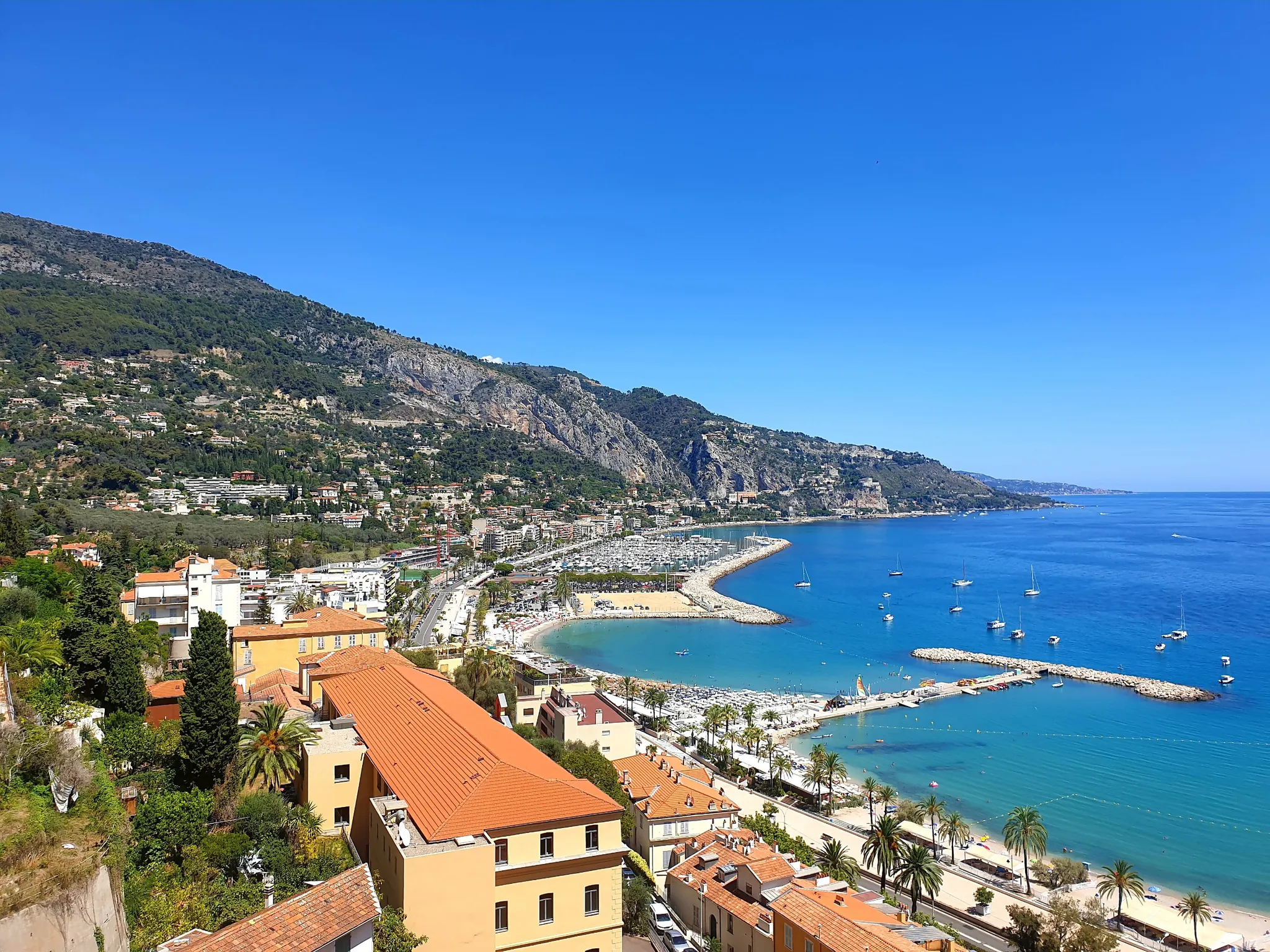
Between sea and mountains – other balcony of the Mediterranean
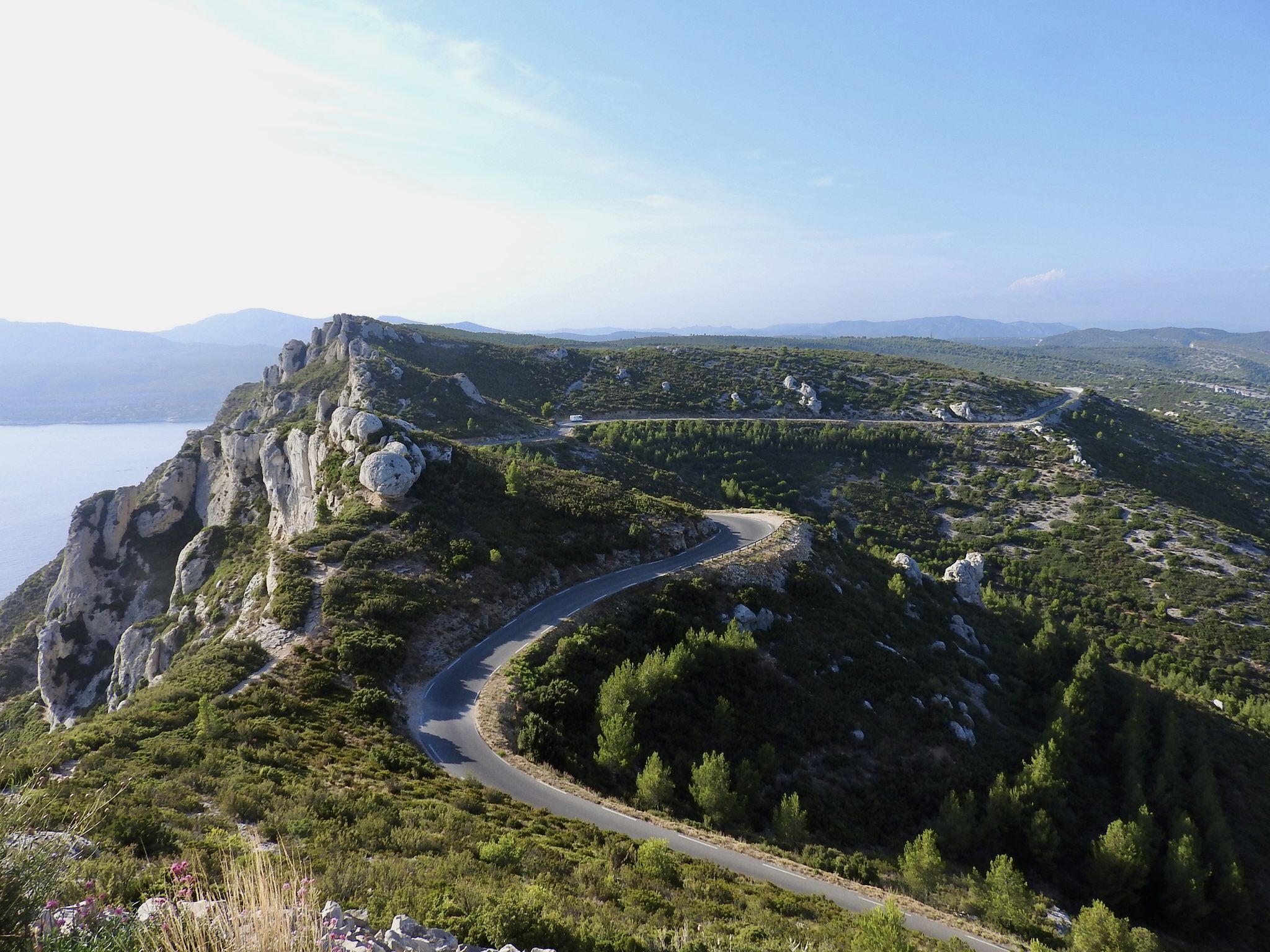
Pays d'Aix to Cap Canaille – Seven Provençal walks
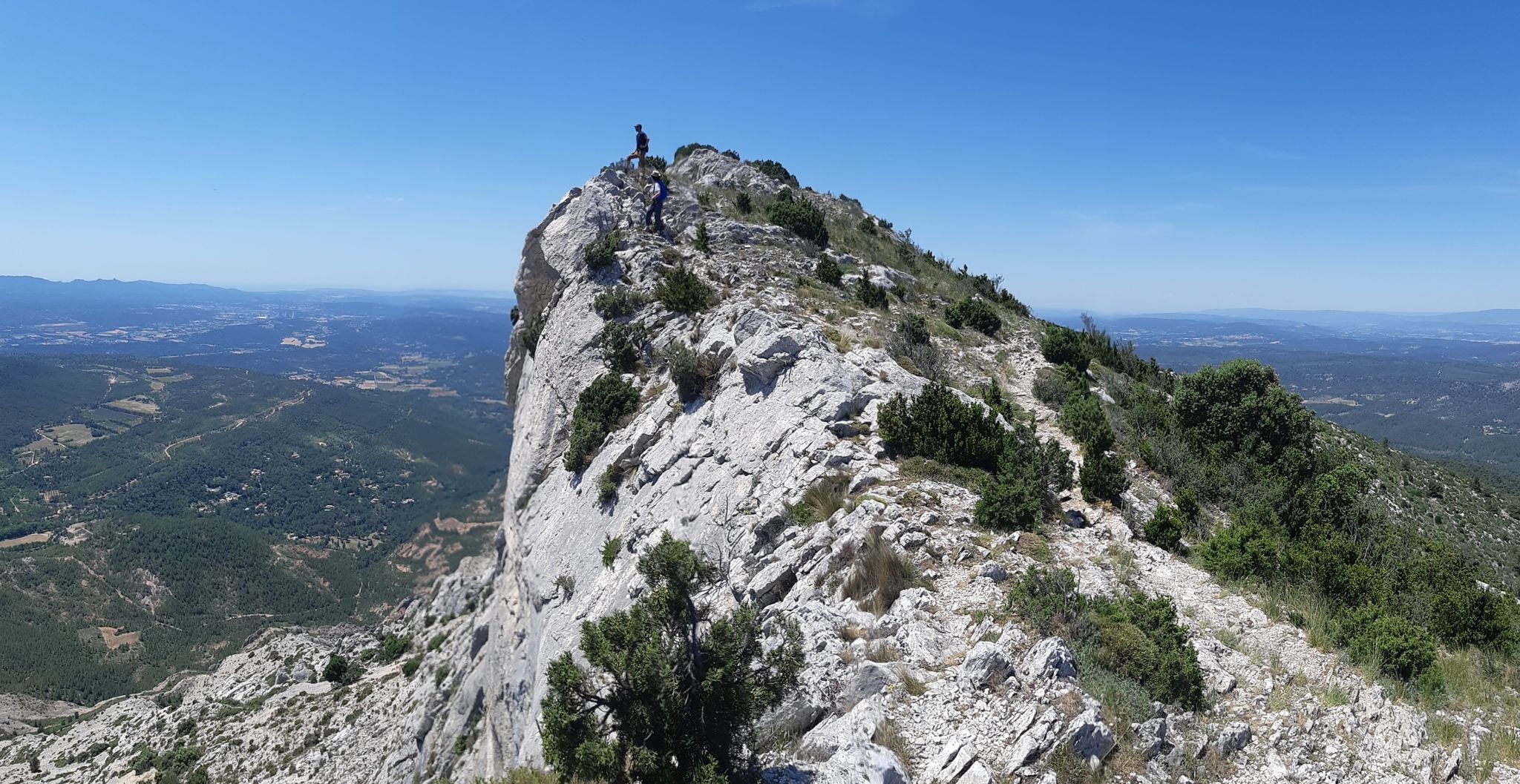
From the Calanques to Cézanne – discover the countryside of France’s Provence
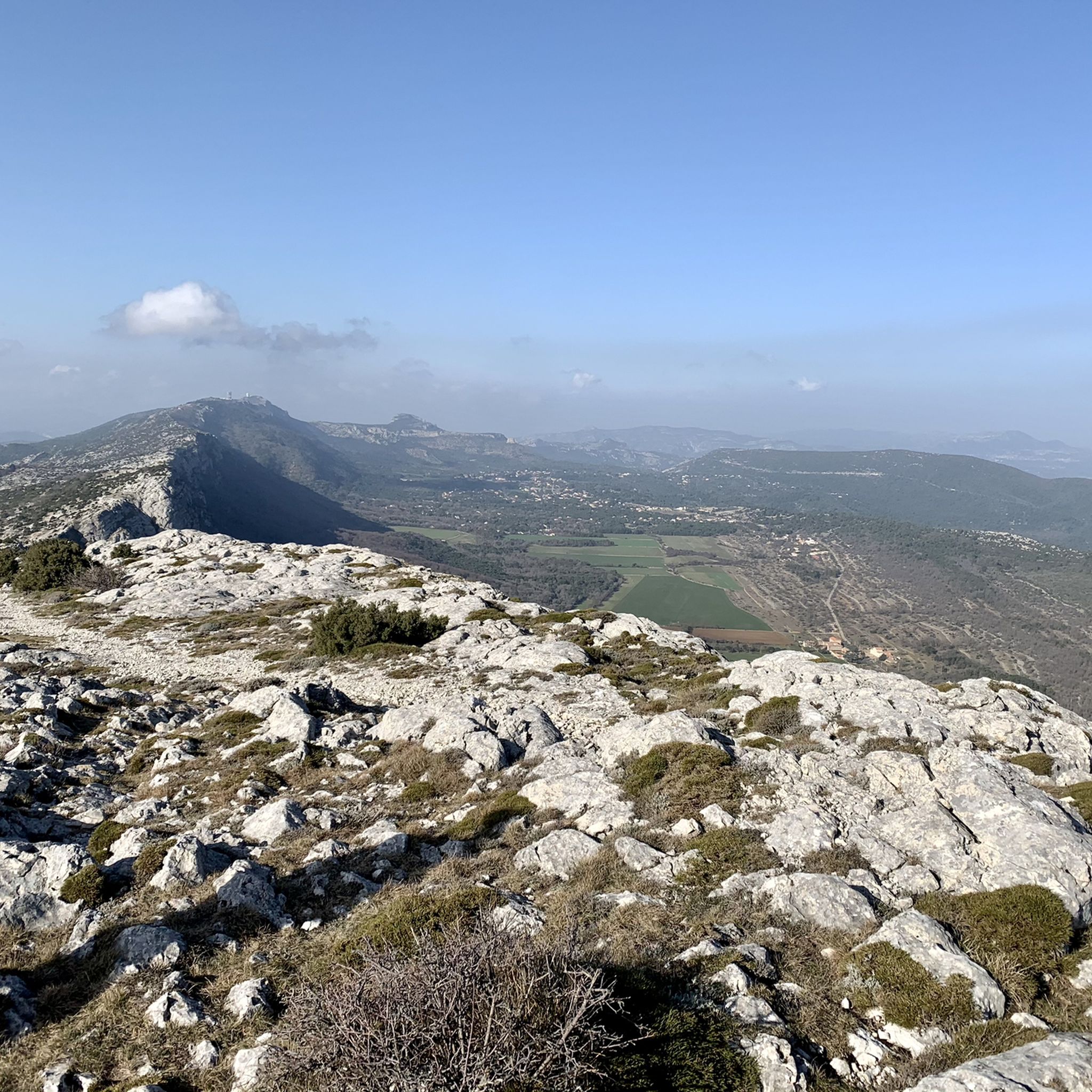
Running Trails in La Sainte-Baume
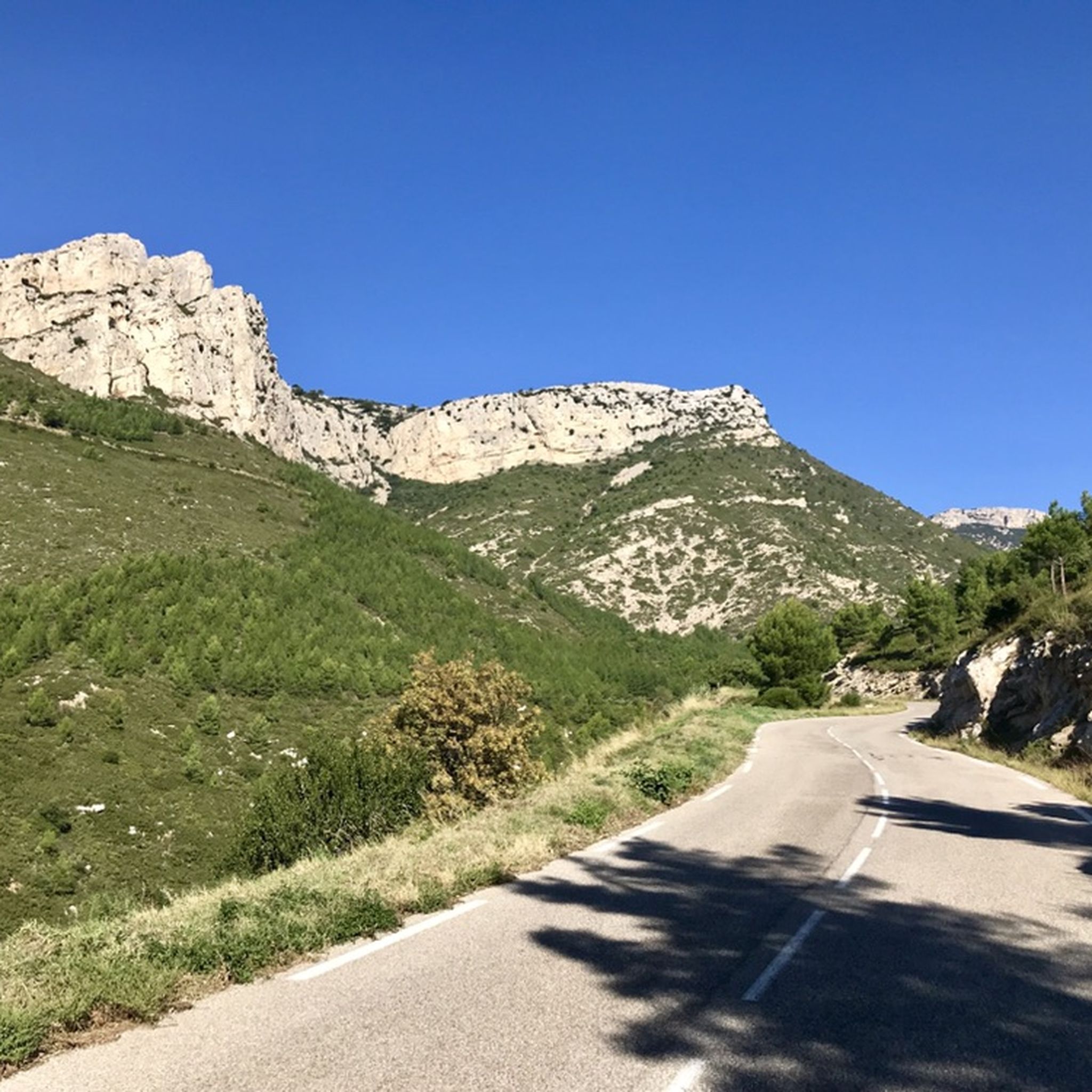
Road Cycling Routes in La Sainte-Baume
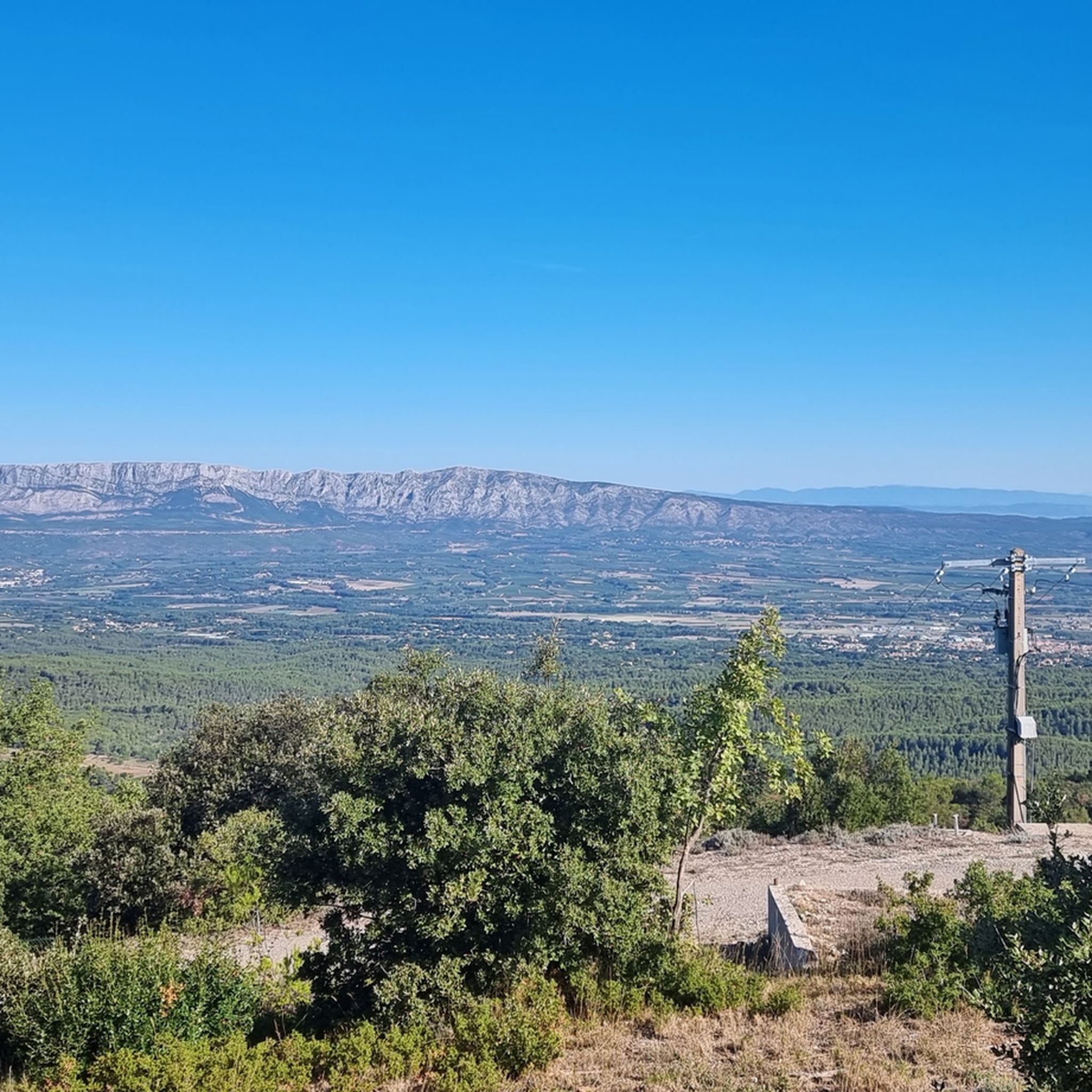
MTB Trails in La Sainte-Baume
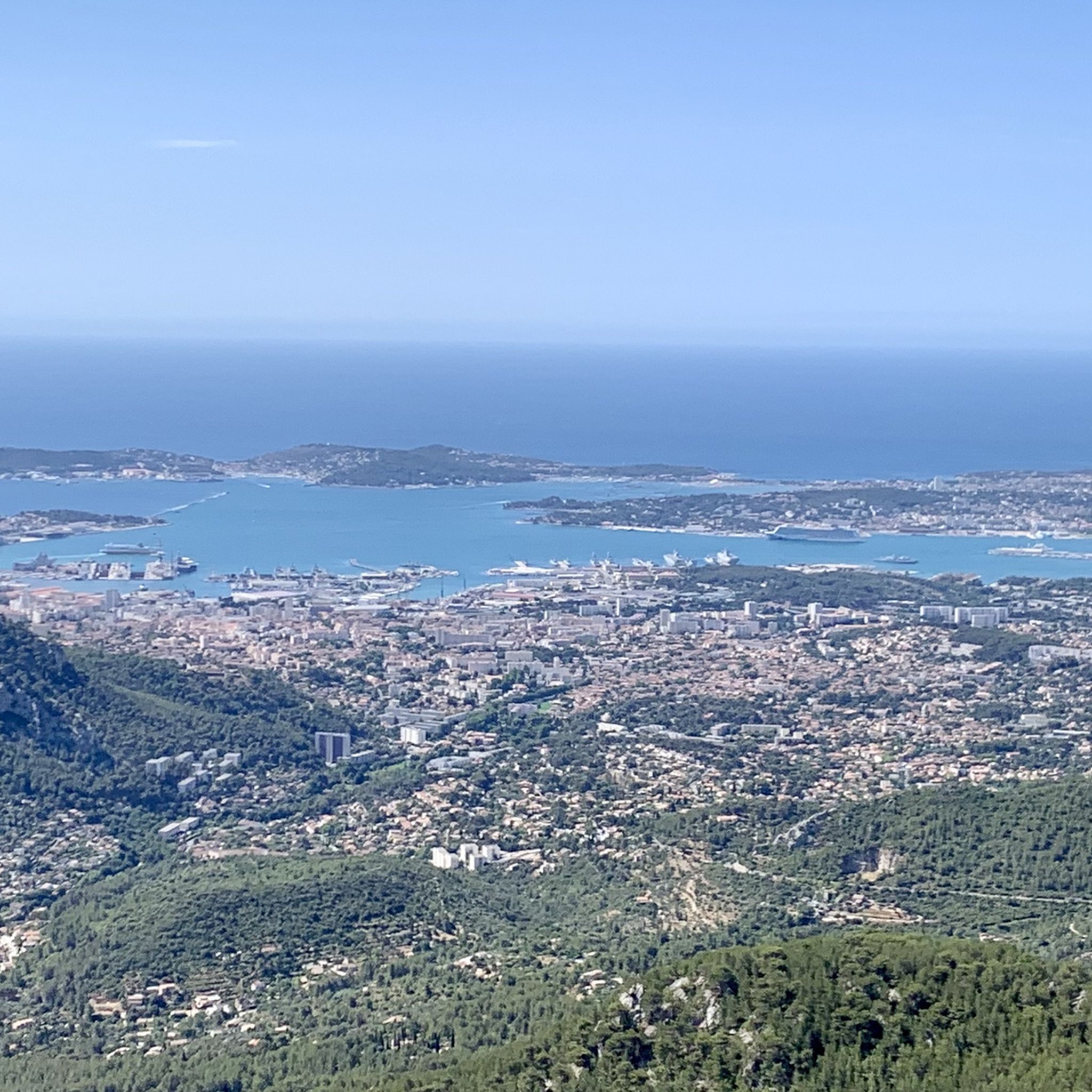
Cycling in La Sainte-Baume

Gravel biking in La Sainte-Baume
Other adventures in La Sainte-Baume


Tips from the Community

place of silence, peace and reconnection between nature and the church
0
0

The fork that leads from the Pic de l'Aigle to the hotel is dangerous in some places with steep passages requiring you to descend for about fifteen meters. Passages not recommended (black markings).
3
0

If you still have the courage to go up there!..
0
0

This old abbey is privately owned and therefore unfortunately not open to the public.
1
0
A karst spring where a powerful stream of water flows out of the rock below.
1
0
A mystical area with a moss-covered waterfall. The water is channeled to the former paper factory.
1
0

Unexpectedly suddenly fantastic view!
0
0

Superb 360° panoramas of the mountains and the sea.
0
0
Frequently Asked Questions
How many hiking trails are available in La Sainte-Baume?
La Sainte-Baume offers a vast network of trails, with over 400 hiking routes recorded on komoot. These range from easy strolls to challenging ascents, catering to all experience levels within the Sainte-Baume Regional Natural Park.
What is the best time of year to go hiking in La Sainte-Baume?
The diverse landscapes of La Sainte-Baume make it suitable for hiking year-round. Spring and autumn offer pleasant temperatures and vibrant scenery, ideal for exploring the 'relique' forest or the sun-drenched southern slopes. Summer provides shade in the dense forests, while winter can offer crisp, clear views, though some higher routes might require appropriate gear.
Are there any family-friendly hiking options in La Sainte-Baume?
Yes, La Sainte-Baume has many easy trails suitable for families. A great option is the Saint-Pons Abbey and Waterfall Trail, an easy 2.7-mile (4.3 km) path that explores historical sites and features a beautiful waterfall, perfect for a leisurely outing.
What kind of natural attractions can I see along the hiking trails?
Hiking in La Sainte-Baume allows you to discover a variety of natural attractions. You can explore the unique 'relique' forest with its ancient trees, dramatic limestone cliffs, and picturesque gorges like the Gorges du Caramy. Many trails also lead to panoramic plateaus offering extensive views across Provence and the Mediterranean Sea. Don't miss the Source of the Huveaune or the impressive Bertagne Peak.
Are there any circular hiking routes in La Sainte-Baume?
Yes, La Sainte-Baume offers numerous circular routes. A popular moderate option is the Chaîne de la Sainte-Baume - loop in the Sainte-Baume Regional Natural Park, which is 9.1 miles (14.7 km) long and takes about 4 hours 30 minutes to complete, offering varied terrain. Another is The Gorges du Caramy - loop in the Sainte-Baume Regional Natural Park, a moderate 5.2-mile (8.3 km) trail.
What are the options for more challenging hikes in the region?
For experienced hikers seeking a challenge, La Sainte-Baume offers several difficult routes. The Saint-Pons Valley route, for example, is a demanding 13.9-mile (22.4 km) trail with significant elevation gain, typically taking over 7 hours. Routes leading to peaks like Eagle's Yoke or Bertagne Peak also provide strenuous climbs and rewarding views.
What historical landmarks can be explored while hiking?
La Sainte-Baume is rich in history. A significant site is the Saint Mary Magdalene Grotto, a revered pilgrimage site accessible via a 45-minute hike through a 'sacred forest'. Nearby, you can find the Saint-Pilon Chapel. The Saint Pons Abbey is another historical site, often part of easier loop trails.
Is La Sainte-Baume suitable for dog-friendly hiking?
Many trails in La Sainte-Baume are suitable for hiking with dogs, provided they are kept on a leash to protect local wildlife and ensure the safety of other hikers. The varied terrain, from dense forests to open garrigue, offers plenty of exploration opportunities for you and your canine companion. Always check local regulations for specific areas within the Regional Natural Park.
What do other hikers enjoy most about La Sainte-Baume?
The area is highly rated by the komoot community, with an average score of 4.4 stars from over 1,500 reviews. Hikers often praise the region's diverse landscapes, from the unique 'relique' forest to the dramatic limestone cliffs and panoramic views. The well-maintained trails and the blend of natural beauty with historical sites are frequently highlighted as key attractions.
Are there any specific permits required for hiking in La Sainte-Baume?
Generally, no specific permits are required for hiking on the established trails within the Sainte-Baume Regional Natural Park. However, it's always advisable to check for any temporary restrictions, especially during dry periods when fire risk can lead to trail closures. You can find more information on the regional park's official website or local tourist offices.
Where can I find parking for hiking trails in La Sainte-Baume?
Parking is available at various access points to the hiking trails throughout La Sainte-Baume. Popular starting points for trails often have designated parking areas, though these can fill up quickly during peak season. It's recommended to arrive early, especially for well-known routes, or to check local maps for smaller, less crowded parking spots near trailheads.
Can I reach hiking trails in La Sainte-Baume using public transport?
While public transport options to the heart of the Sainte-Baume massif can be limited, some villages and towns surrounding the Regional Natural Park are served by local bus routes. From these points, you might be able to access certain trailheads, though it may require additional walking. For detailed information on routes and schedules, it's best to consult the local transport authority websites or tourist information centers, such as tourisme-paysdaubagne.fr.
Most popular routes in La Sainte-Baume
Most popular attractions in La Sainte-Baume

Get inspired with the komoot mobile app


Explore more
Browse the best Hikes in other regions.
