The best running trails in Scarpe-Escaut
4.5
(248)
14,527
runners
890
runs
Jogging in Scarpe-Escaut offers diverse landscapes, from vast meadows and farmlands to significant wetlands and forests. The region is characterized by its unique blend of natural beauty and transformed industrial heritage, including former mining dumps known as terrils. These elevated sites provide unique viewpoints and varied terrain for running. The Scarpe and Escaut rivers cross the park, featuring marshes and ponds that offer picturesque routes.
Best jogging routes in Scarpe-Escaut
- The most popular jogging route is Le terril des Argales…
Last updated: October 10, 2026
6
runners
Easy run. Great for any fitness level. Mostly paved surfaces. Suitable for all skill levels.
5.0
(1)
6
runners
9.41km
01:02
40m
40m
Moderate run. Good fitness required. Mostly accessible paths. Some sure footedness required.

5.0
(3)
421
runners
21.6km
02:28
190m
190m
Hard run. Very good fitness required. Sure-footedness, sturdy shoes and alpine experience required.
5.0
(2)
346
runners
11.5km
01:16
70m
70m
Moderate run. Good fitness required. Mostly paved surfaces. Suitable for all skill levels.
4.6
(9)
310
runners
6.38km
00:41
40m
40m
Moderate run. Good fitness required. Mostly paved surfaces. Suitable for all skill levels.
Get access to more routes and recommendations from other explorers.
Already have an account?
Our route recommendations are based on thousands of hikes, rides, and runs completed by other people on komoot.
Start today with a free account
Your next adventure awaits.
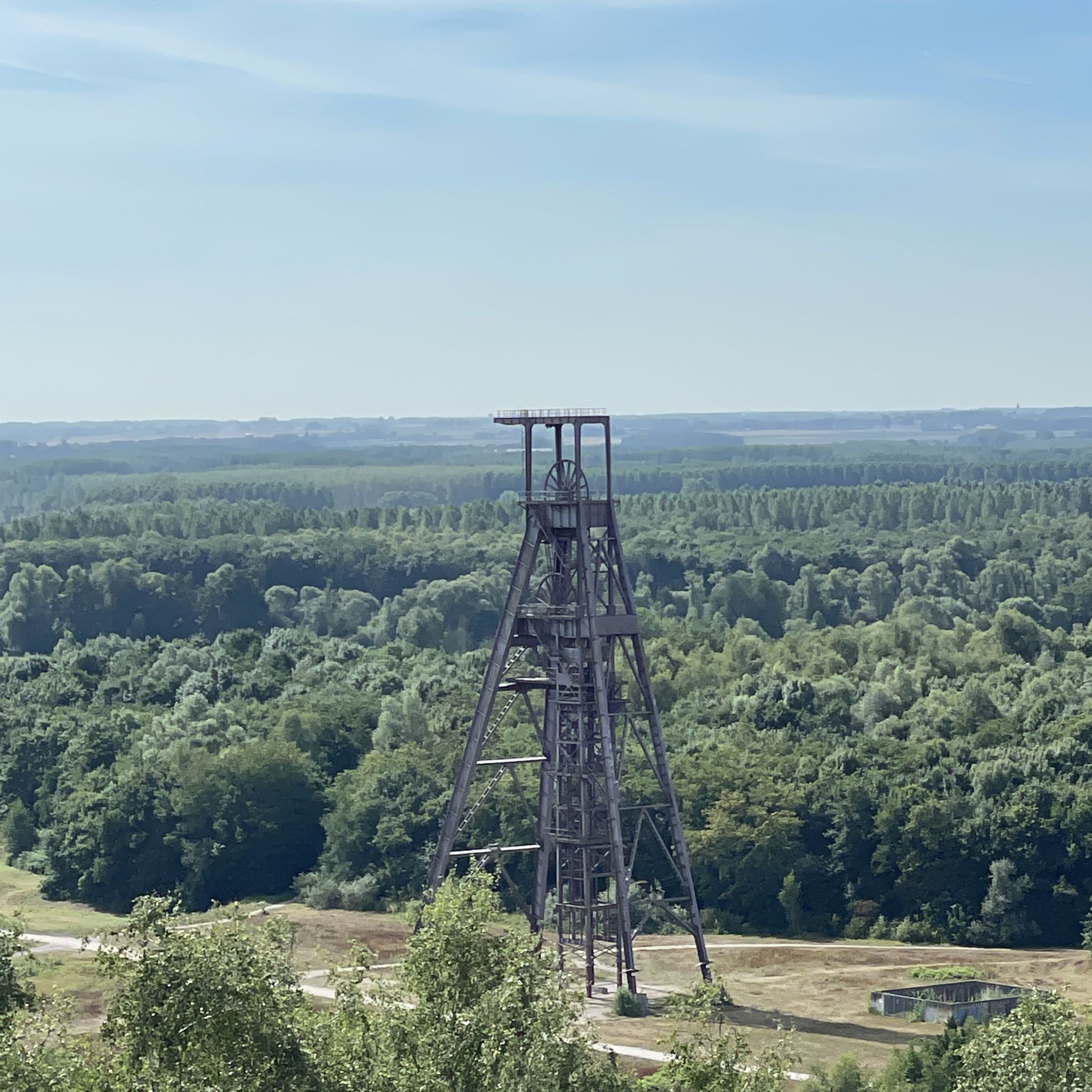
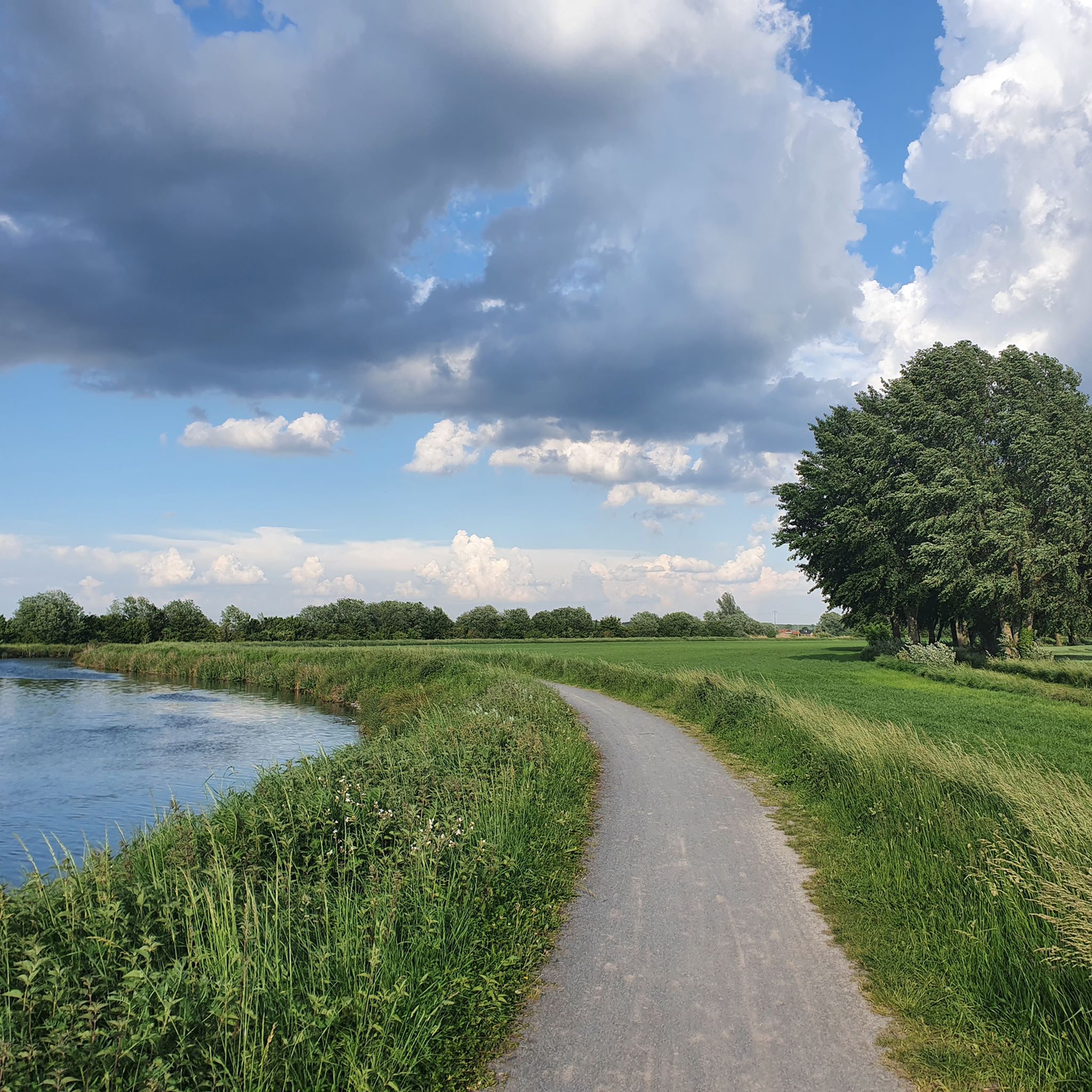
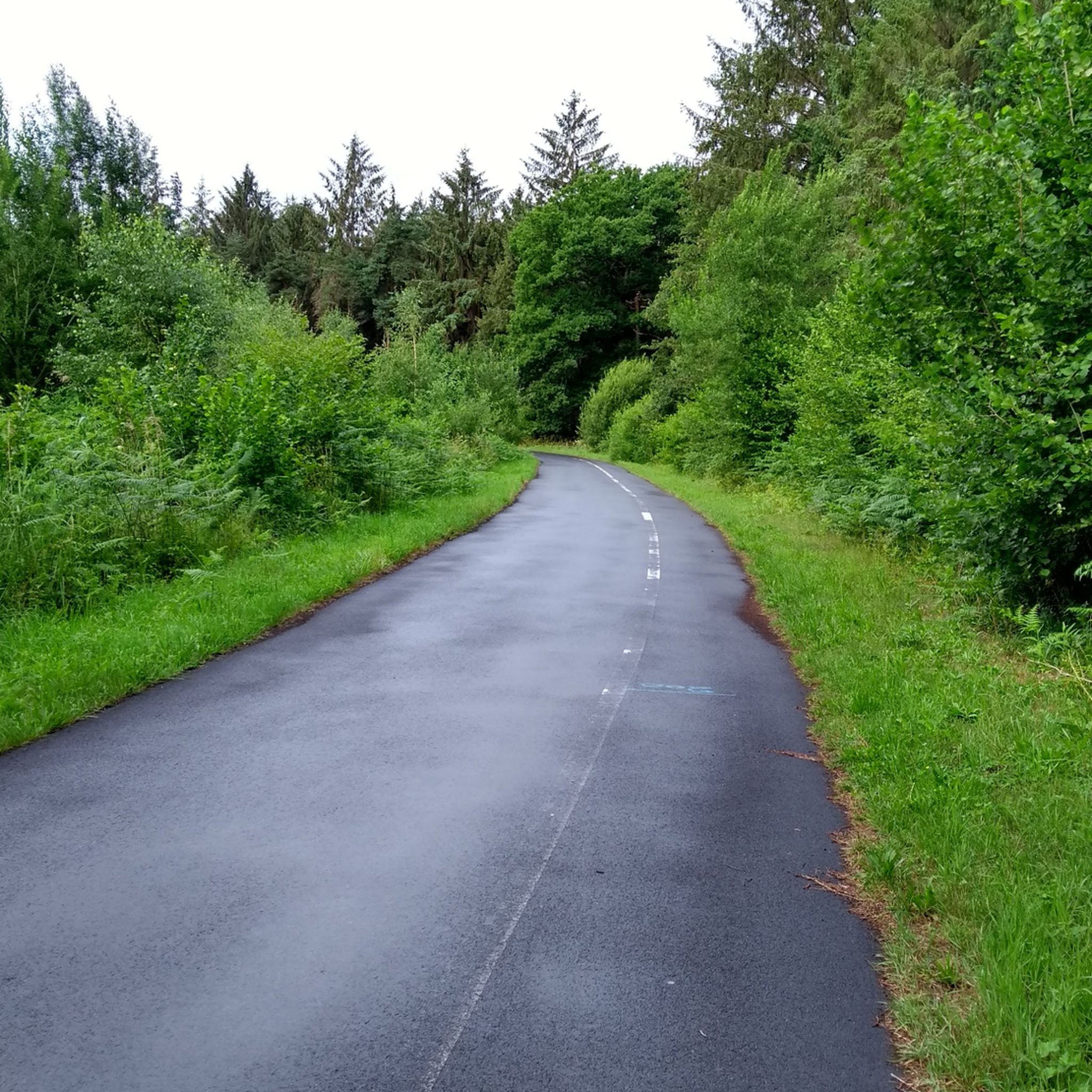
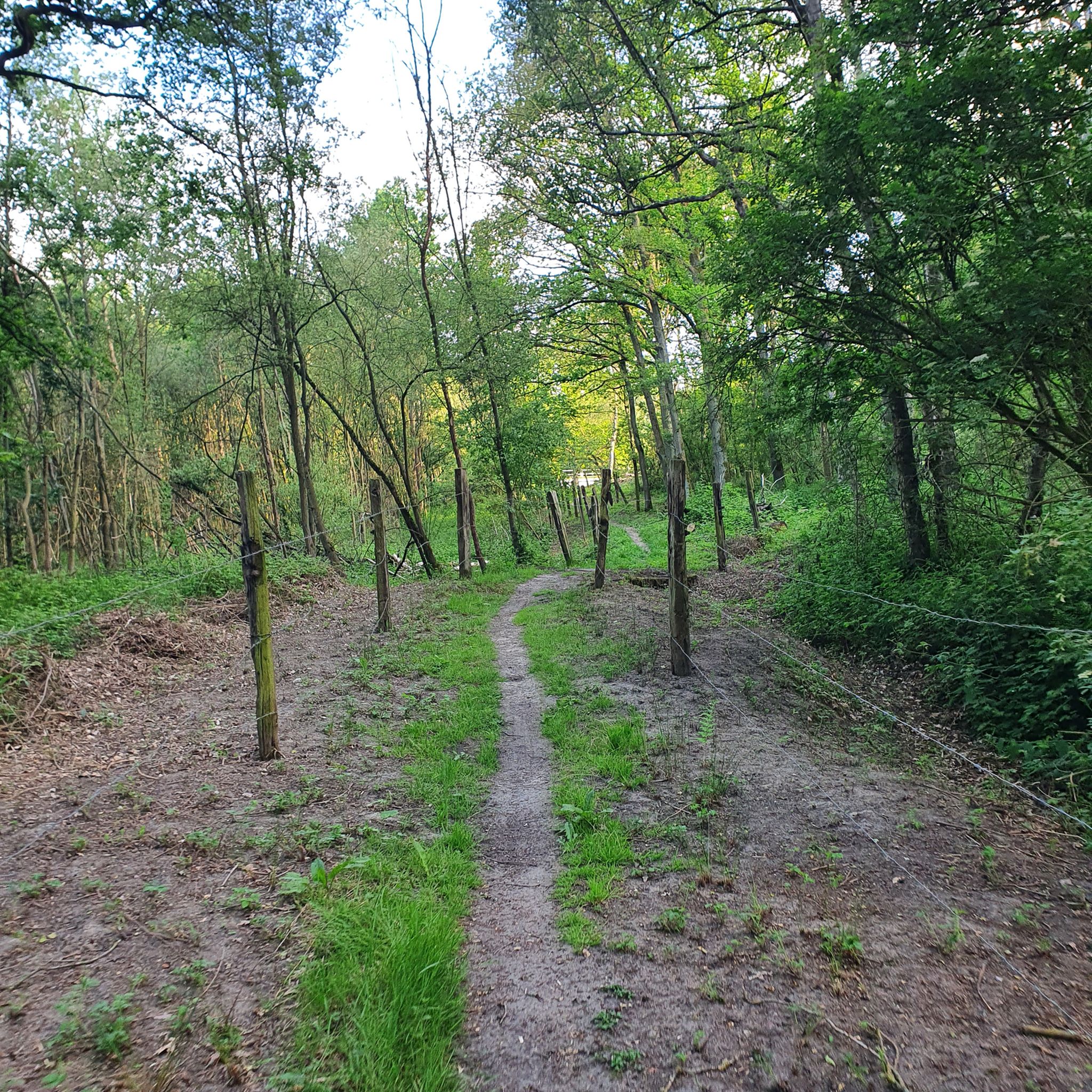
Tips from the Community

Beautiful walk on a magnificent site
0
0

Endless gravel and you won't meet anyone
1
0

Great place to run on several routes or hike with the family
0
0

Beautiful path through the forest of Raismes-Saint-Amand-Wallers not far from the slag heaps.
1
0

The Rieulay slag heap, also known as the Argales slag heap, is the largest in the region with its 140 hectares. Formerly an industrial site for the storage of waste rock from the surrounding mines, it has been converted into a protected natural area and a place for leisure.
0
0
The Argales de Rieulay slag heap, the largest in the region (140 ha), has long since closed its mining page. A new story has been unfolding for several years now. That of a successful reconversion.
0
0

Artificial beach on the body of water
0
0

Beautiful route in summer and panoramic view and quite a bit of elevation gain
1
1
Frequently Asked Questions
What kind of terrain can I expect on the running routes in Scarpe-Escaut?
The Scarpe-Escaut region offers a highly diverse landscape for runners. You'll find routes traversing vast meadows and farmlands, significant wetlands and marshes, and extensive forested areas like the Raismes-Saint-Amand-Wallers forest. A unique feature is the presence of transformed industrial sites, known as terrils (slag heaps), which provide elevated viewpoints and challenging paths. The park is also crossed by the Scarpe and Escaut rivers, offering picturesque routes along water features.
Are there running routes for all fitness levels in Scarpe-Escaut?
Yes, the Scarpe-Escaut region caters to a wide range of running abilities. Out of over 800 routes available, you'll find approximately 90 easy routes perfect for beginners or a relaxed jog, over 600 moderate routes for those looking for a good workout, and around 120 difficult routes for experienced runners seeking a challenge.
What natural features or landmarks can I see while running in Scarpe-Escaut?
While running in Scarpe-Escaut, you can encounter a variety of natural and historical landmarks. Many routes pass by significant water bodies such as Goriaux Pond and Étang Chabaud-Latour, which are former mining pits now rich in wildlife. You'll also find unique elevated viewpoints from redeveloped mining dumps like Terril des Argales and View from Terril Sabatier Nord. The region's industrial heritage is also visible, with features like the historic Trouée d'Arenberg.
When is the best time of year to go running in Scarpe-Escaut?
Scarpe-Escaut offers enjoyable running conditions throughout much of the year. Spring and autumn provide pleasant temperatures and beautiful scenery, with changing foliage in the extensive forests. Summer is also suitable, especially on shaded forest trails. While winter running is possible, some paths might be muddy or slippery, particularly in wetland areas or on the terrils.
Are there any circular running routes in Scarpe-Escaut?
Yes, many of the running routes in Scarpe-Escaut are designed as circular loops, allowing you to start and finish at the same point. A popular example is Le terril des Argales — loop — running from Rieulay, an easier 3.0-mile (4.9 km) route. Another option is the Germignies Circuit Trail, a moderate 5.8-mile (9.4 km) path offering panoramic views.
What do other runners enjoy the most about jogging in Scarpe-Escaut?
The running routes in Scarpe-Escaut are highly rated by the komoot community, with an average score of 4.5 stars from over 160 reviews. Runners often praise the unique blend of natural beauty and transformed industrial heritage, particularly the varied terrain offered by the terrils and the peaceful atmosphere of the wetlands and forests. The diverse options for different ability levels are also frequently highlighted.
Are there any longer distance running trails for advanced runners?
For advanced runners seeking a longer challenge, Scarpe-Escaut offers several options. The View from Terril Sabatier Nord loop from Raismes is a difficult 13.1-mile (21.0 km) trail that takes you through forested areas and past elevated viewpoints. Another challenging route is the Running loop from Puits n° 1 Boitelle, covering approximately 11.2 miles (18 km).
Can I bring my dog on the running trails in Scarpe-Escaut?
While the guide does not specify dog-friendly routes, the Parc Naturel Régional Scarpe-Escaut generally welcomes dogs on trails, provided they are kept on a leash to protect wildlife and ensure the safety of other visitors. It's always a good idea to check specific trail regulations before heading out.
Are there any family-friendly jogging paths suitable for children?
For families looking for easier jogging paths, the region offers numerous gentle routes. The Le terril des Argales — loop — running from Rieulay is an easy 3.0-mile (4.9 km) loop that provides unique views and rich biodiversity, making it a good option for families.
How many running routes are available in the Scarpe-Escaut region?
There are over 800 running routes available for exploration in the Scarpe-Escaut region, offering a vast selection for all preferences and fitness levels. This extensive network ensures you'll always find a new path to discover.
Are there any routes that feature wetlands or water views?
Yes, the Scarpe-Escaut region is characterized by its significant wetlands and riverine environment. Many routes offer picturesque views of marshes, natural ponds, and the Scarpe and Escaut rivers. The Mare à Goriaux, a large water-filled reservoir, is a prominent feature in some routes, providing extensive views and opportunities to spot diverse bird species.
What makes the Scarpe-Escaut region unique for running?
Scarpe-Escaut stands out due to its unique blend of natural beauty and transformed industrial heritage. As France's oldest regional natural park, it combines vast meadows, forests, and wetlands with redeveloped mining dumps (terrils) that offer distinct elevated viewpoints and varied terrain. This creates a running experience unlike many other regions, rich in both ecological value and historical context.
Most popular routes in Scarpe-Escaut
Most popular attractions in Scarpe-Escaut

Get inspired with the komoot mobile app


Explore more
Browse the best Running Trails & Routes in other regions.
