The best MTB trails in Scarpe-Escaut
4.4
(434)
1,951
riders
175
rides
Mountain biking in Scarpe-Escaut offers routes through a natural park setting near Valenciennes. The terrain features a mix of woodlands, canals, and ponds, with some routes incorporating historical elements like slag heaps and cobbled sections. Elevation gains are generally modest, making it suitable for various skill levels.
Best mountain bike trails in Scarpe-Escaut
- The most popular mountain bike trail is Pollarded willows on their 31st – La Fabriq' loop from Coutiches, a 34.9 miles (56.2 km) trail that takes…
Last updated: October 5, 2026
4.7
(25)
322
riders
55.5km
03:24
140m
140m
Moderate mountain bike ride. Good fitness required. Advanced riding skills necessary.
5.0
(1)
168
riders
Hard mountain bike ride. Very good fitness required. Advanced riding skills necessary.

3.7
(35)
71
riders
39.7km
02:24
90m
90m
Moderate mountain bike ride. Good fitness required. Suitable for all skill levels.
4.9
(7)
41
riders
Moderate mountain bike ride. Good fitness required. Advanced riding skills necessary.
4.4
(14)
66
riders
67.4km
03:55
210m
210m
Moderate mountain bike ride. Good fitness required. Suitable for all skill levels.
Get access to more routes and recommendations from other explorers.
Already have an account?
Our route recommendations are based on thousands of hikes, rides, and runs completed by other people on komoot.
Start today with a free account
Your next adventure awaits.
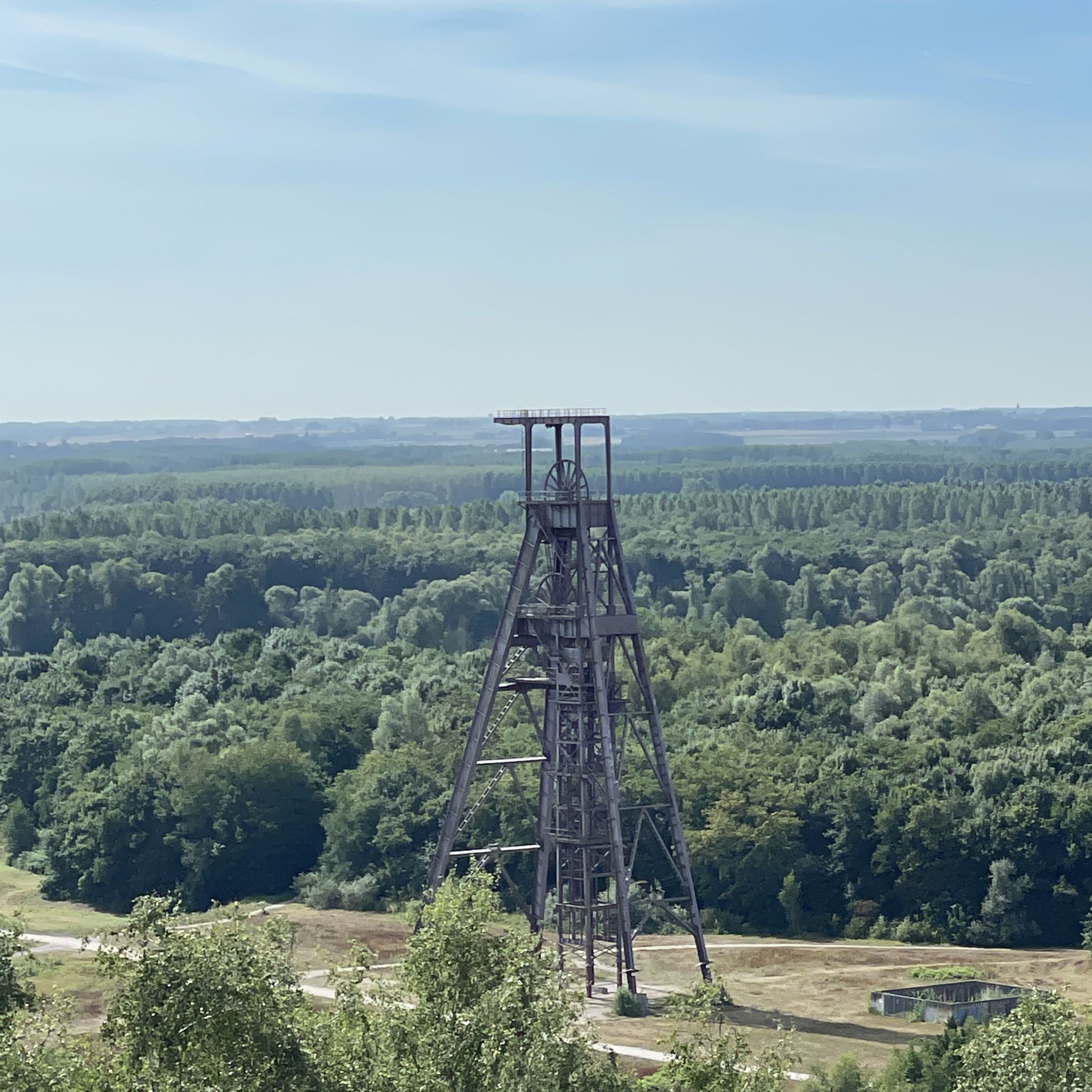
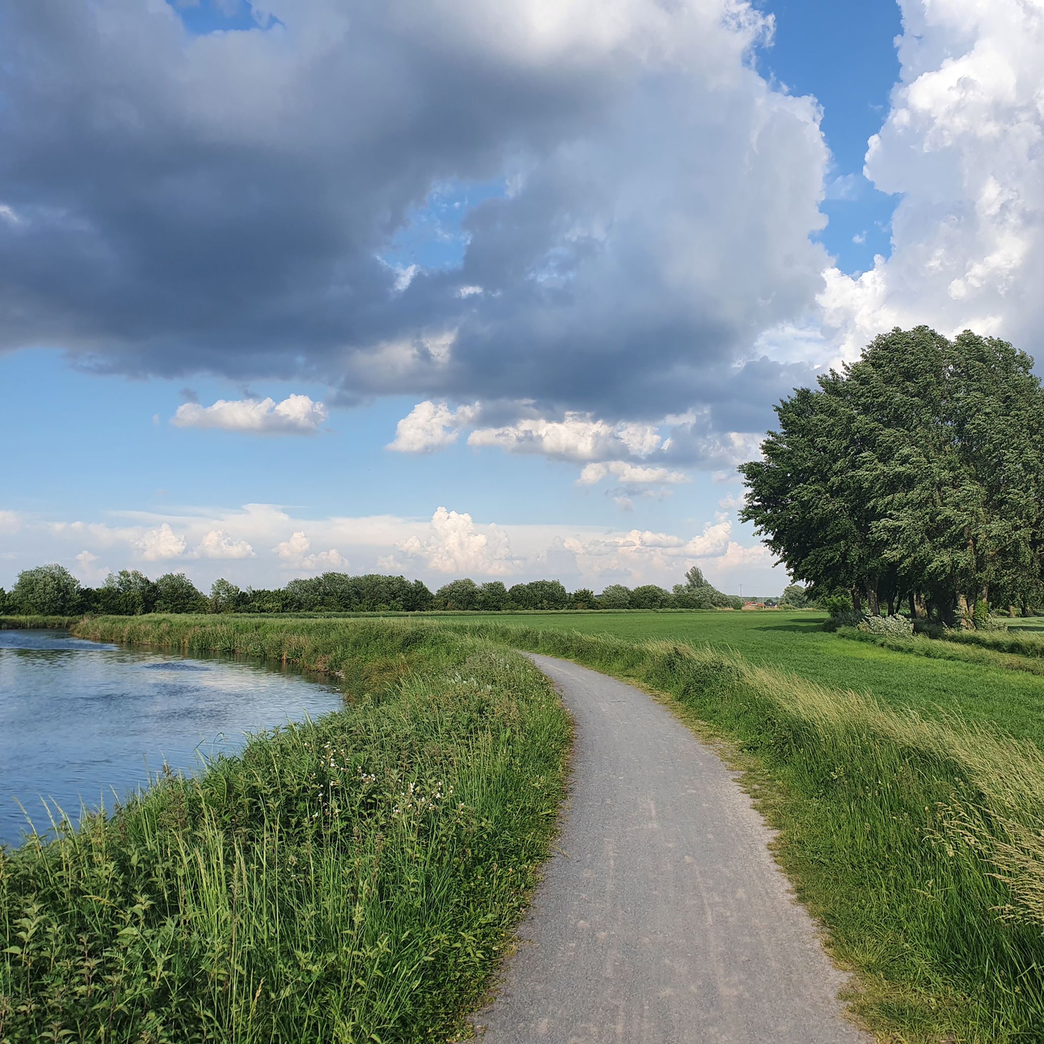
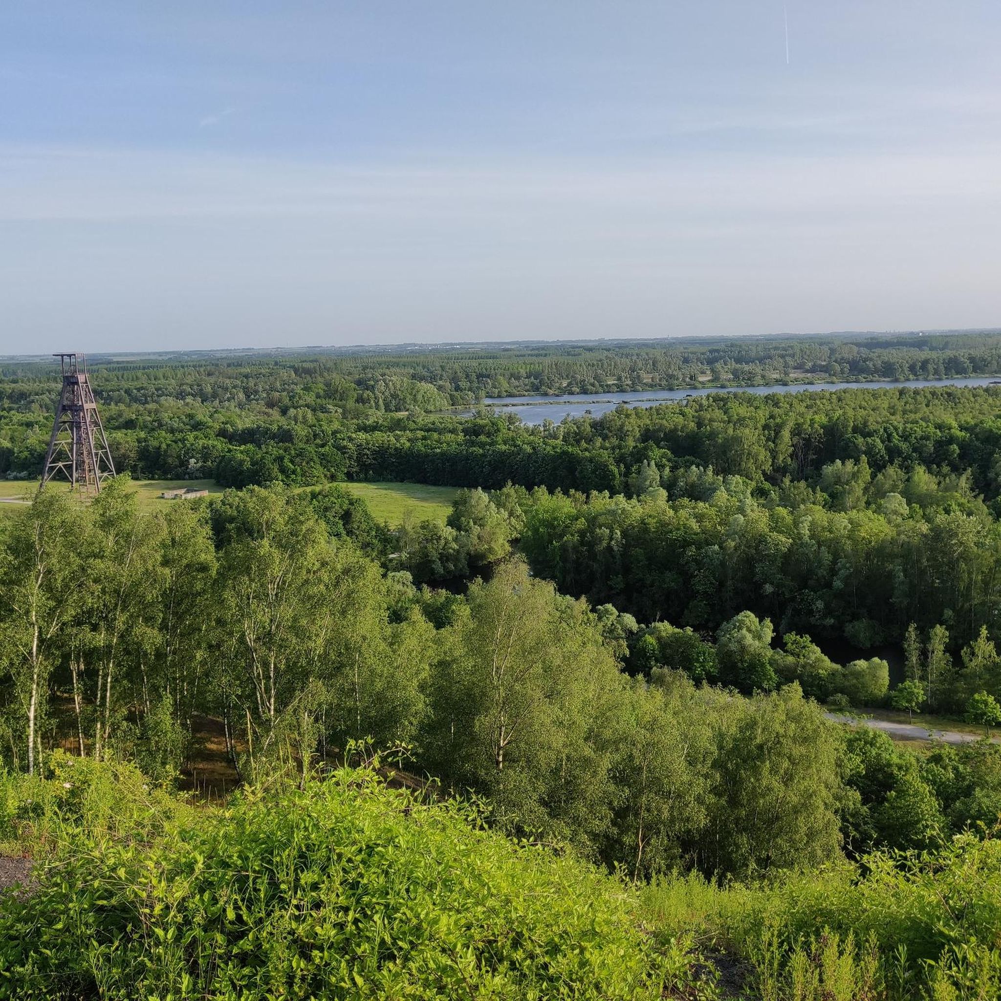
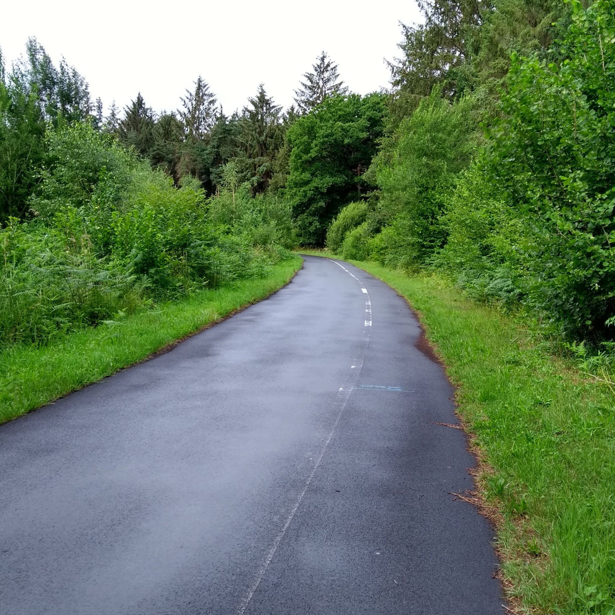
Tips from the Community


Enjoy nature instead of the hustle and bustle.
0
0

For real men, very tough, on the 30 lane route from Troisvilles 170 km
1
0


Carrefour de l'arbre delivers! On our ride (full 259km distance) we arrive here with already 242km in our legs.... The strips start to pile up considerably, which only makes the strip harder. Few opportunities to take the edge, so the bend is treacherous. But the finish is getting closer and closer...
1
0

great route organized by the tourist office this Sunday, June 15, 2025, with stops at interesting places of passage (bird viewpoint, headframe, Conde monuments)
1
0
Frequently Asked Questions
How many mountain bike trails are available in Scarpe-Escaut?
There are over 160 mountain bike trails recorded in the Scarpe-Escaut region on komoot, offering a wide range of options for different skill levels and preferences.
Are there easy mountain bike trails suitable for beginners in Scarpe-Escaut?
Yes, Scarpe-Escaut offers a good selection of easy mountain bike trails. You can find over 60 routes categorized as easy, such as the Étang Chabaud-Latour – Canal de Condé loop from Escautpont, which is 17.7 miles (28.5 km) long and takes about 1 hour 53 minutes to complete.
What kind of terrain can I expect on mountain bike trails in Scarpe-Escaut?
The terrain in Scarpe-Escaut is diverse, featuring a mix of woodlands, canals, and ponds. You'll also encounter historical elements like slag heaps and some cobbled sections, particularly on more challenging routes. Elevation gains are generally modest, making it accessible for various skill levels.
Are there any challenging mountain bike routes for advanced riders?
While many trails are moderate, there are some more challenging options. For instance, the Pont-Thibault cobbled section – The cobbles at Vertain Mill loop from Rosult is a difficult 83.9 miles (135 km) route that includes significant cobbled sections and takes over 7 hours to complete.
What are some scenic highlights or natural attractions to see along the trails?
Many trails pass by beautiful natural attractions. You can explore areas around Goriaux Pond or Étang Chabaud-Latour. The region also features unique natural monuments like the Terril des Argales and the Terril de Condé-Macou, which offer interesting views.
Are there mountain bike trails that are circular routes?
Yes, many mountain bike trails in Scarpe-Escaut are designed as loops, allowing you to start and finish at the same point. An example is the Point de vue sur plan d'eau loop from Le Cattelet, a moderate 14.4 miles (23.2 km) route.
What do other mountain bikers say about the trails in Scarpe-Escaut?
The mountain bike trails in Scarpe-Escaut are highly regarded by the komoot community, with an average rating of 4.4 stars from over 360 reviews. Riders often praise the varied landscape, including woodlands and canals, and the well-maintained paths.
What is the typical duration for mountain bike trails in Scarpe-Escaut?
Trail durations vary significantly depending on the route's length and difficulty. Shorter, easy trails like the Étang Chabaud-Latour loop can be completed in under 2 hours, while longer, moderate routes such as the Leforest slag heap – Leforest slope loop from Flines-lez-Raches can take around 3 hours 45 minutes. The most challenging routes can extend to over 7 hours.
When is the best time of year for mountain biking in Scarpe-Escaut?
The region's climate generally makes spring, summer, and early autumn ideal for mountain biking, offering pleasant temperatures and drier conditions. While some trails may be accessible in winter, conditions can be muddier and colder, so checking local weather and trail reports is advisable.
Are there any trails that offer views of the distinctive pollarded willows mentioned in the guide?
Yes, the Pollarded willows on their 31st – La Fabriq' loop from Coutiches is specifically designed to showcase these unique trees. This moderate 34.9 miles (56.2 km) trail takes approximately 3 hours 27 minutes to complete.
Are there any viewpoints or elevated spots along the mountain bike routes?
Yes, the region's former slag heaps often provide elevated perspectives. For example, the View from Terril Sabatier Nord is a notable viewpoint that can be incorporated into various routes, offering panoramic vistas of the surrounding landscape.
Most popular routes in Scarpe-Escaut
Most popular attractions in Scarpe-Escaut

Get inspired with the komoot mobile app


Explore more
Browse the best MTB trails in other regions.
