The best mountain hikes in Grands Causses
5.0
(1)
25
hikers
3
hikes
Mountaineering routes in Grands Causses traverse a landscape defined by vast limestone plateaus, known as "causses," deeply incised by spectacular river gorges such as the Tarn, Jonte, and Dourbie. These geological features create imposing cliffs and unique rock formations ideal for vertical sports and exploration. The region features areas of ruiniform chaos, where eroded limestone forms intriguing terrain. This diverse environment offers a range of challenges for mountaineers.
Best mountaineering routes in Grands Causses
- The most popular mountaineering route is…
Last updated: July 9, 2026
5.0
(1)
22
hikers
3.17km
01:56
280m
280m
Hard mountaineering route. Great for any fitness level. Sure-footedness, sturdy shoes and alpine experience required.
2
hikers
5.83km
02:26
470m
470m
Moderate mountaineering route. Good fitness required. Easily-accessible paths. Suitable for all skill levels.

Sign up for free
1
hikers
9.61km
02:55
320m
320m
Moderate mountaineering route. Good fitness required. Easily-accessible paths. Suitable for all skill levels.
Our route recommendations are based on thousands of hikes, rides, and runs completed by other people on komoot.
Start today with a free account
Your next adventure awaits.
Login or Signup
Popular around Grands Causses

The Grande traversée du Massif Central by gravel bike

Hexatrek – The Cévennes to the Pyrenees between gorges and limestone plateau
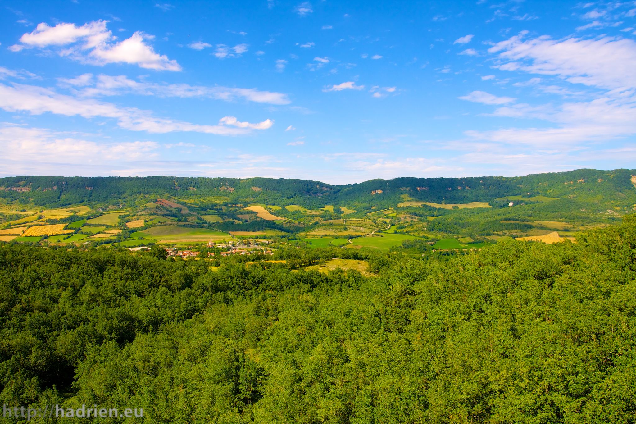
Tour of Aveyron — The mountains and valleys of Roquefort and Aligot
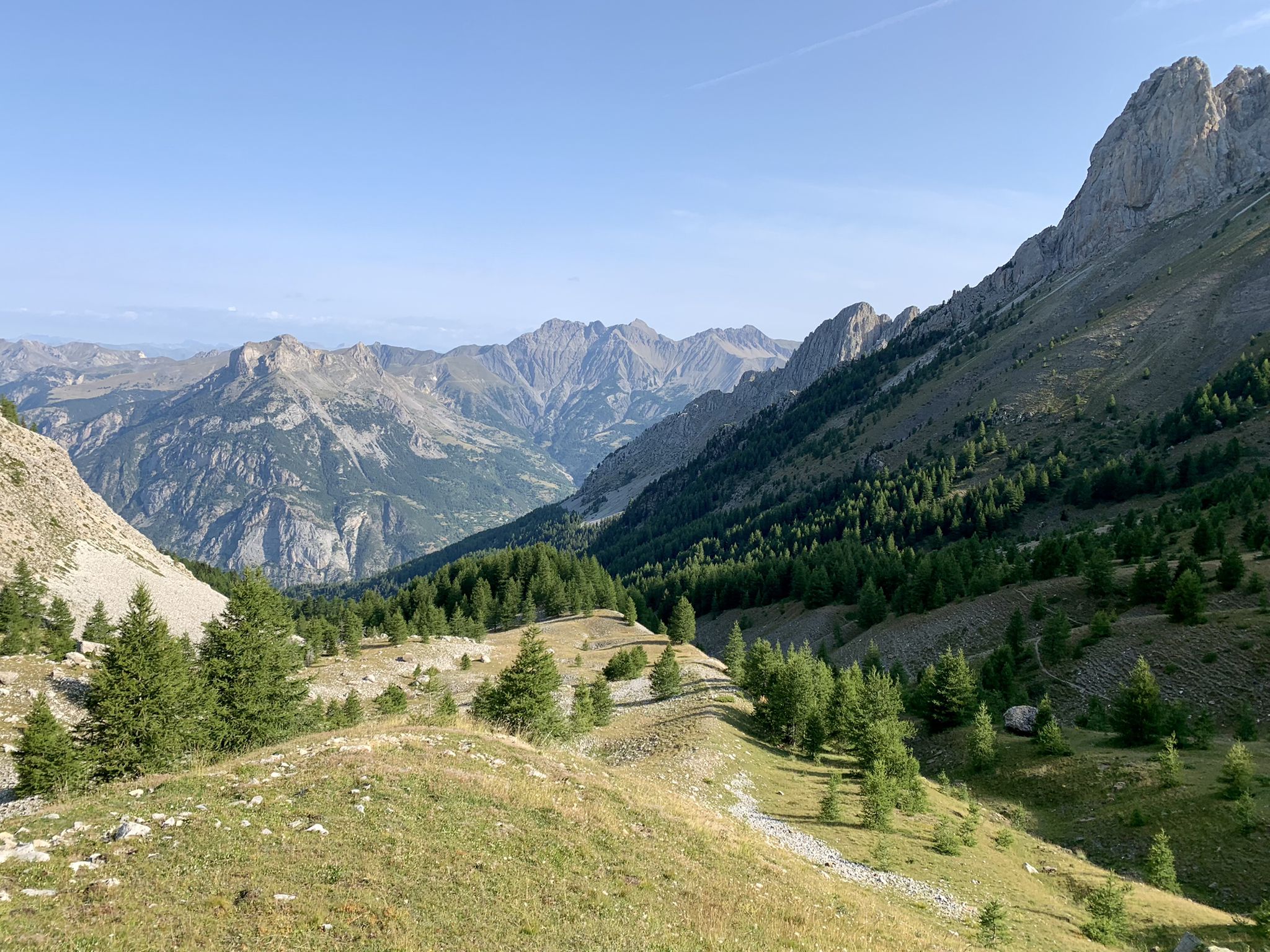
From the Alps to the Atlantic — GR 6
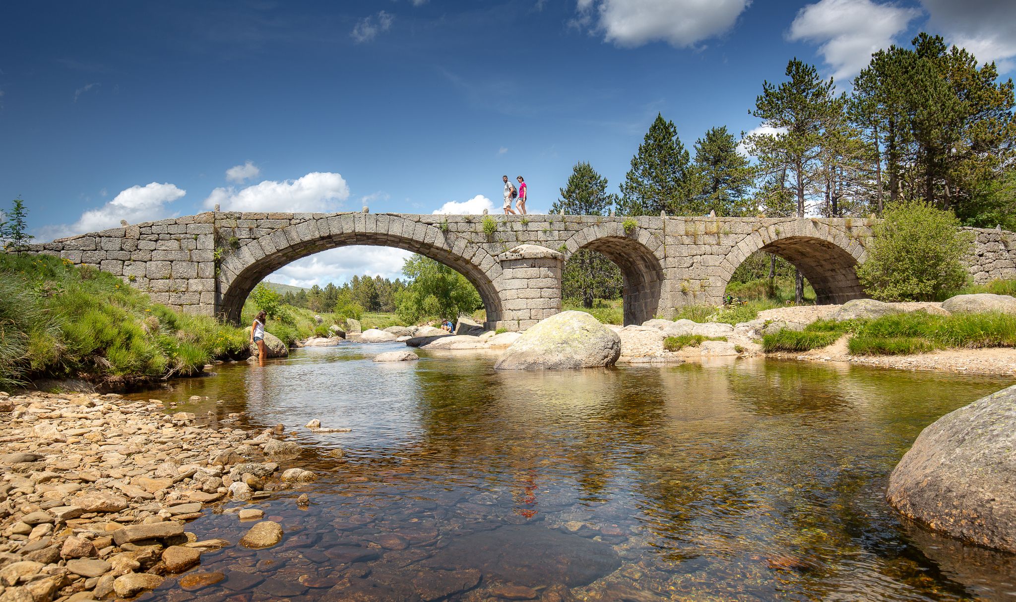
The most beautiful walks in Lozère
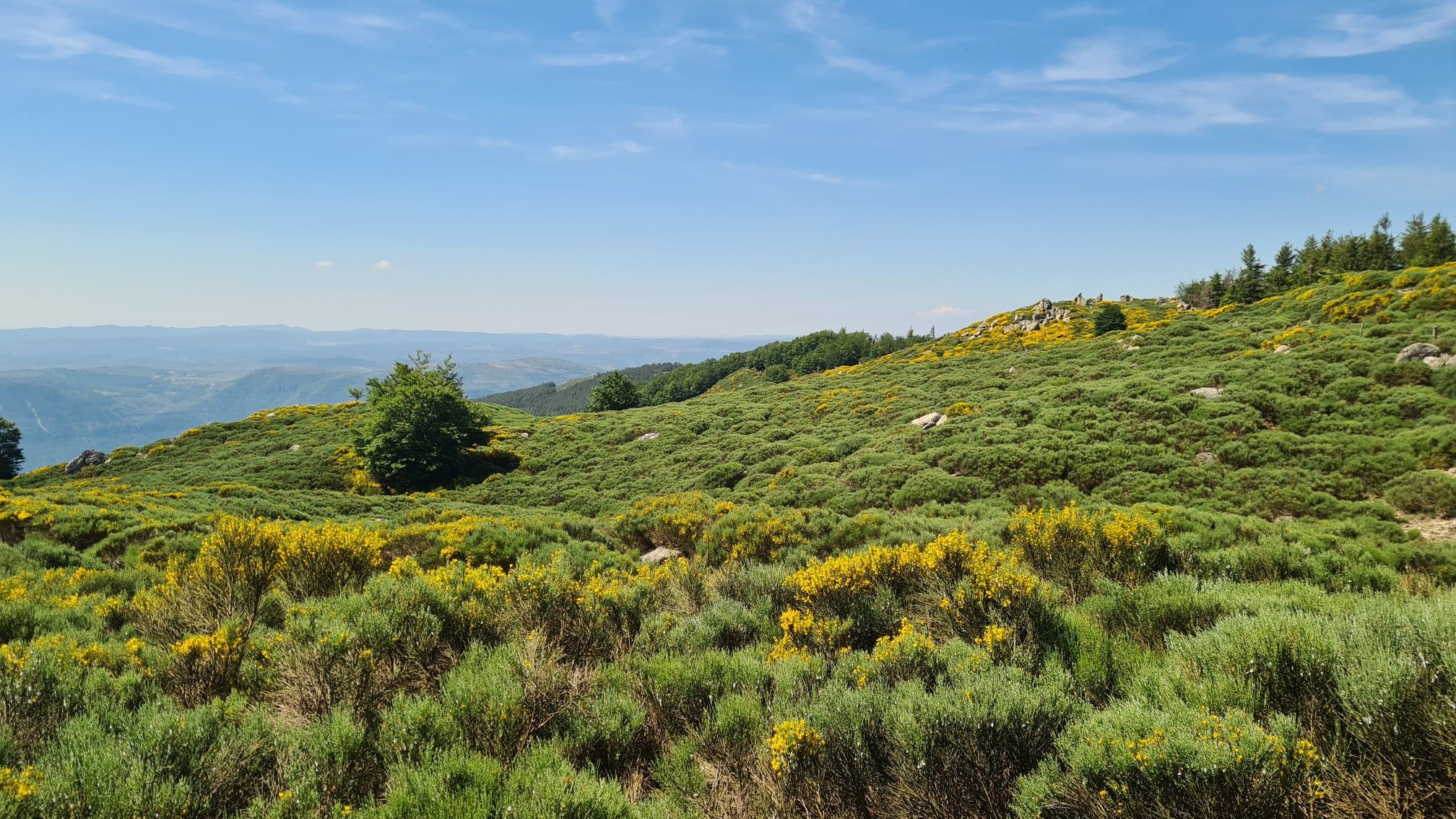
From L'Espérou to Lodève - Explore the Cevennes on the GR 71
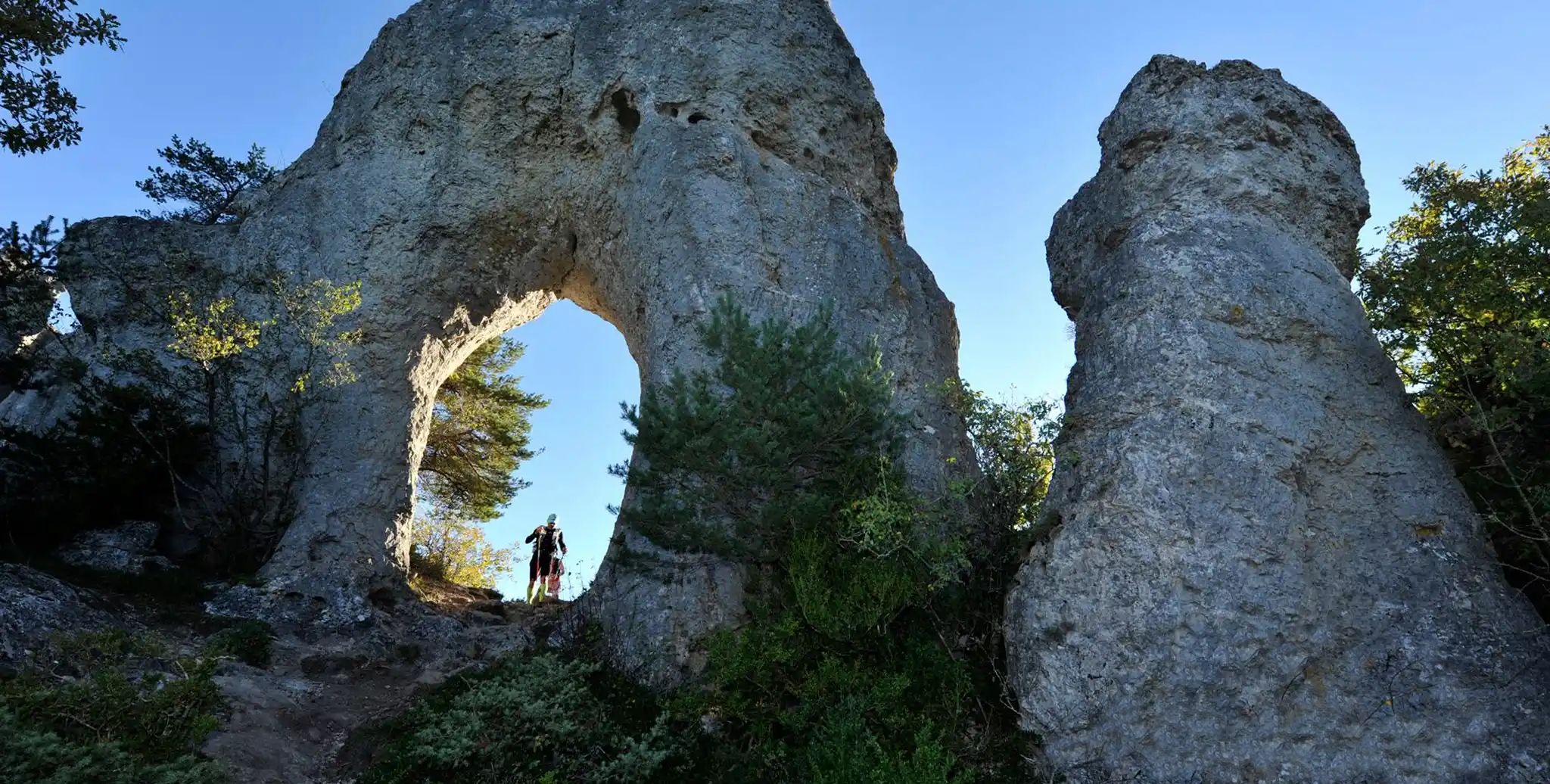
Meyrueis to La Roque-Sainte-Marguerite – GR 62A in France
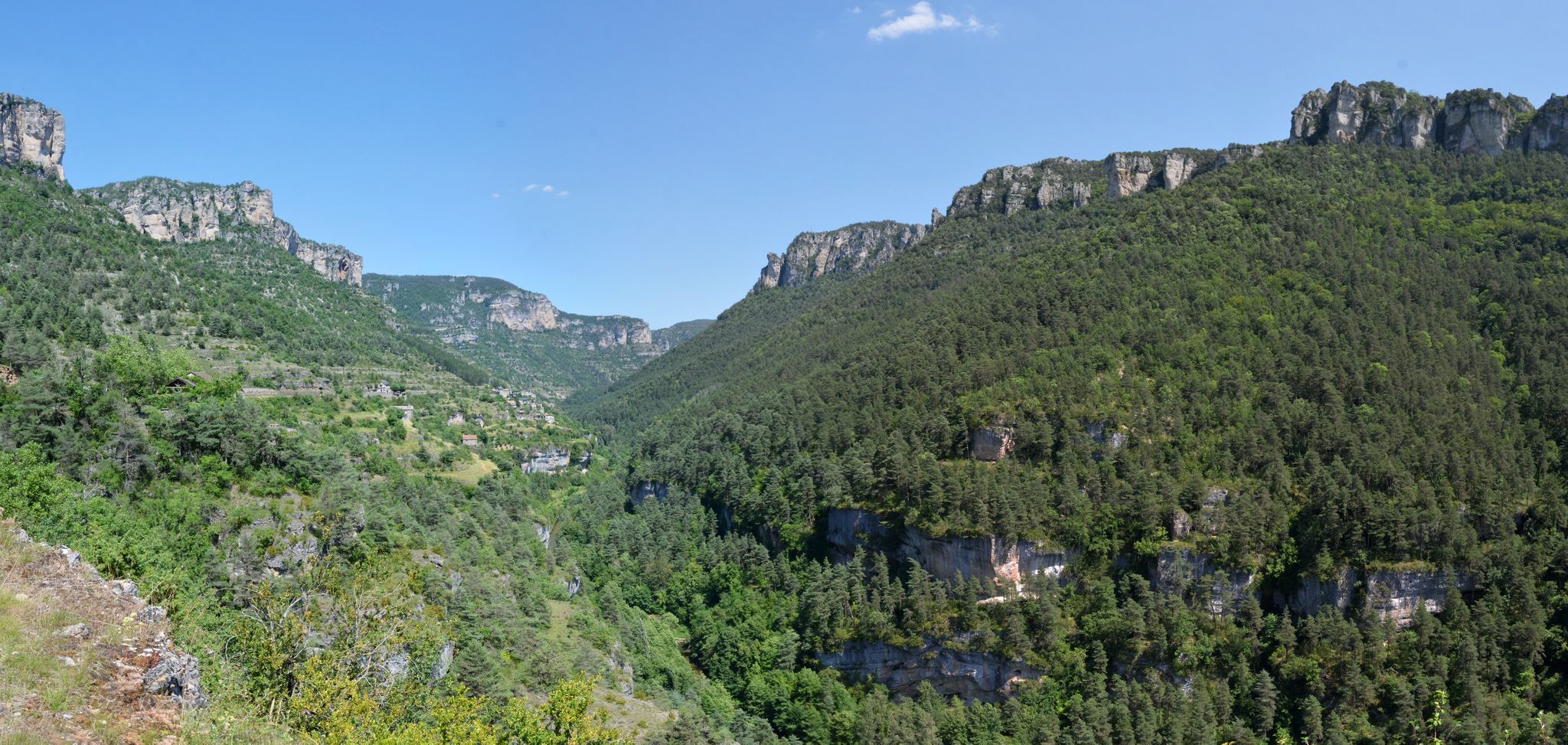
Trails de Légende in France – Festival des Templiers races
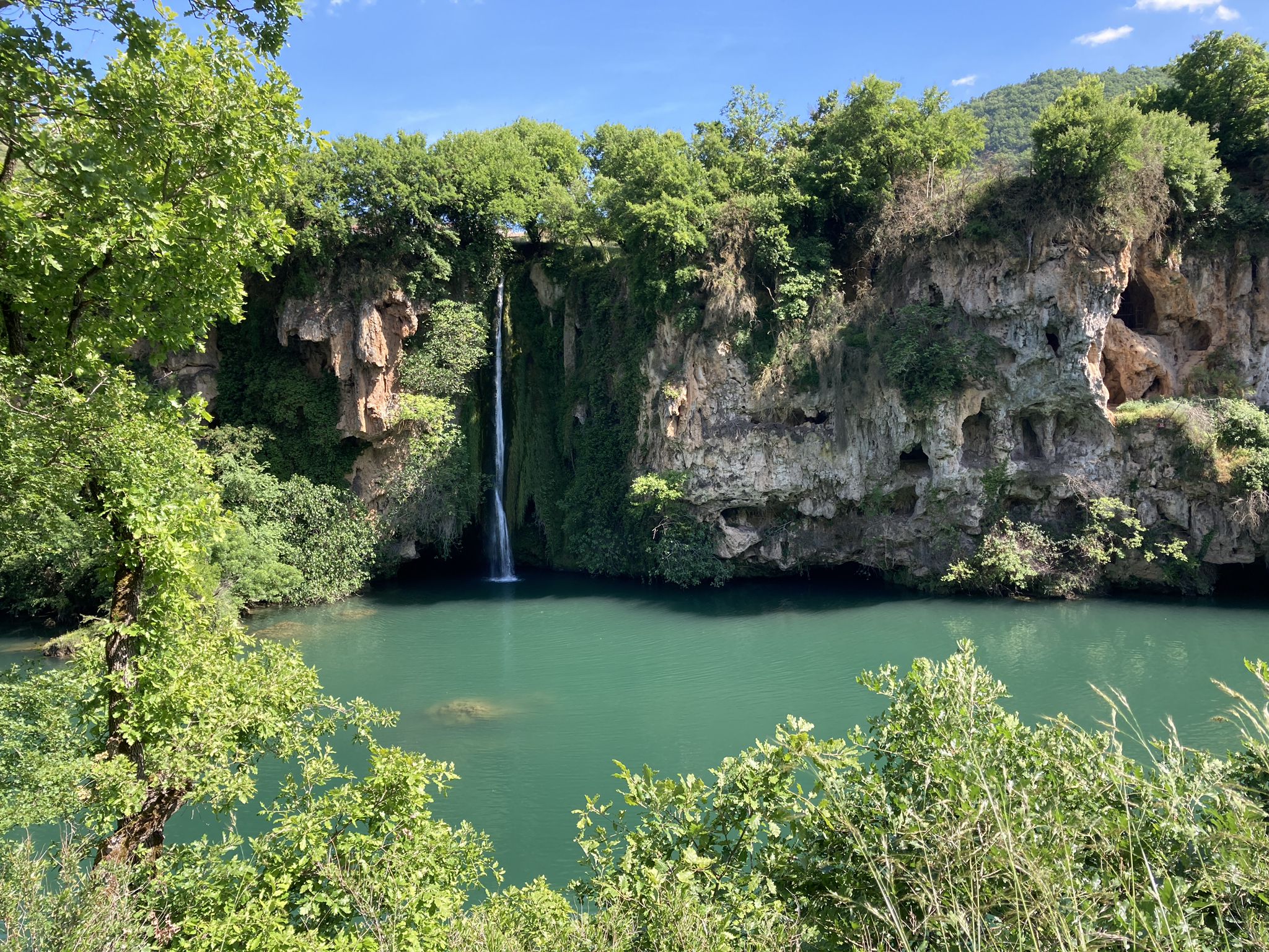
The sound of water – gravel and waterfalls in Aveyron
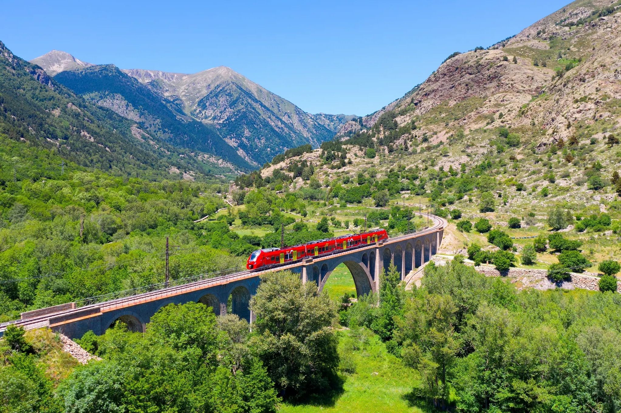
Occitanie Rail Tour – by train and on foot through Occitania
Other adventures in Grands Causses


Tips from the Community


A special architectural gem is the Romanesque church of Saint-Sauveur in Liaucous. It once belonged to the Bishop of Rodez. According to tradition, it was originally the chapel of the adjacent Château de Liaucous. Its consecration dates back to 1060. It is one of the Romanesque buildings in the upper Tarn Valley. Over the centuries, the interior has been remodeled several times, including the addition of an impressive gallery. The exterior façade has remained largely unchanged.
1
0
This place is charming with your old characters
0
0

The top of the col Pouncho d'Agast. climb here is nice and not that difficult.
0
0


Magnificent portion which leads to the Pouncho d'Agast cornice. This small rocky path offers incredible views of the Millau and Dourbie valleys.
0
0
Frequently Asked Questions
How many mountaineering routes are available in Grands Causses?
There are currently 6 mountaineering routes documented in Grands Causses on komoot, ranging from moderate to difficult. These routes traverse the region's unique limestone plateaus and river gorges.
What makes mountaineering in Grands Causses unique?
Mountaineering in Grands Causses is unique due to its distinctive geology, featuring vast limestone plateaus known as 'causses' and spectacular river gorges like the Tarn, Jonte, and Dourbie. You'll encounter imposing cliffs, unique rock formations, and areas of 'ruiniform chaos' where eroded limestone creates intriguing landscapes. The region is also a UNESCO World Heritage site, offering a preserved environment for exploration.
Are there mountaineering routes suitable for beginners in Grands Causses?
While many routes offer a challenge, there are moderate options available. For example, the Viewpoints – Rock formation loop from Peyreleau is a moderate 9.5 km trail that takes about 3 hours 31 minutes, offering varied terrain and rock formations without extreme difficulty.
What are some challenging mountaineering routes for experienced adventurers?
For experienced mountaineers, the Cave – Via Ferrata Bridge loop from Mostuéjouls is a difficult 3.3 km route that includes a via ferrata bridge experience. Another challenging option is the Viewpoint overlooking Le Rozier – Rock formation "Vase" loop from Peyreleau, a difficult 11.6 km path with expansive views and unique rock formations.
Are there any circular mountaineering routes in Grands Causses?
Yes, many routes in Grands Causses are designed as loops. Examples include the Pouncho d'Agast loop from Millau, a moderate 5.8 km route, and the Nant – Nant loop from Nant, a moderate 9.6 km trail.
What kind of natural landmarks or viewpoints can I expect to see along the routes?
The region is rich in natural landmarks and viewpoints. You can expect to see dramatic gorges, unique rock formations like the 'Vase' near Peyreleau, and vast plateaus. Notable viewpoints include View from Pouncho d'Agast and Viewpoint overlooking Le Monna and the Dourbie Valley. The Cité des Pierres and Chaos of Nîmes-le-Vieux also offer intriguing ruiniform chaos landscapes.
What is the best time of year for mountaineering in Grands Causses?
The Grands Causses region, particularly its south-facing routes, allows for mountaineering almost year-round. Spring and autumn offer pleasant temperatures and vibrant scenery, while summer can be warm but still enjoyable, especially in the cooler gorge areas. Winter mountaineering is also possible, though conditions may vary.
Are there any specific permits required for mountaineering in the Grands Causses?
The Grands Causses Regional Natural Park protects these territories, but general access for hiking and mountaineering typically does not require specific permits. However, for specialized activities like caving or certain climbing areas, it's always advisable to check with local authorities or guide services for any specific regulations or access requirements.
What do other mountaineers enjoy the most about mountaineering in Grands Causses?
The komoot community highly rates the mountaineering routes in Grands Causses, with an average score of 4.8 stars. Reviewers often praise the diverse terrain, the stunning views over the gorges and plateaus, and the unique geological features like the rock formations and via ferrata experiences.
Are there opportunities for trail running in the Grands Causses region?
Yes, beyond traditional mountaineering, the Grands Causses is a premier destination for trail running. It hosts France's first 'Espace Trail,' with over 750 km of marked trails across 37 courses. These routes offer varied gradients between gorges, valleys, causses, and rougier regions, catering to all levels of trail runners.
Can I find routes that offer a mix of climbing and hiking?
Absolutely. The region's geology, with its deep gorges and towering cliffs, naturally lends itself to routes that combine hiking with elements of climbing or vertical sports. The Cave – Via Ferrata Bridge loop from Mostuéjouls is a prime example, incorporating a via ferrata into a mountaineering loop.
What kind of geological features define the mountaineering landscape here?
The mountaineering landscape is defined by vast limestone plateaus (causses) deeply incised by spectacular river gorges (Tarn, Jonte, Dourbie). These features create imposing cliffs, unique rock formations, and areas of 'ruiniform chaos' where eroded limestone forms bizarre shapes, offering a truly distinctive environment for exploration.
Most popular routes in Grands Causses
Most popular attractions in Grands Causses

Get inspired with the komoot mobile app


Explore more
Browse the best Mountain Hikes & Routes in other regions.
