The best cycling routes in Muránska Planina - Op
4.5
(2)
64
riders
8
rides
Touring cycling in Muránska Planina - Op features a landscape characterized by significant elevation changes and dense forest areas, typical of a mountainous national park. The region offers challenging routes with substantial climbs, traversing varied terrain. These routes often lead through natural reserves, providing opportunities to experience the area's unique ecosystems.
Best touring cycling routes in Muránska Planina - Op
- The most popular touring cycling route is Čierny Váh Reservoir – View of Čierny Váh Reservoir loop from Heľpa,…
Last updated: July 2, 2026
5.0
(1)
16
riders
67.9km
04:40
1,220m
1,220m
Hard bike ride. Very good fitness required. Mostly paved surfaces. Suitable for all skill levels.
14
riders
85.1km
05:26
1,010m
1,010m
Hard bike ride. Very good fitness required. Mostly paved surfaces. Suitable for all skill levels.

Sign up for free
15
riders
28.3km
02:13
750m
750m
Hard bike ride. Very good fitness required. You may need to push your bike for some segments of this route.
7
riders
117km
07:26
1,350m
1,350m
Hard bike ride. Very good fitness required. Mostly paved surfaces. Suitable for all skill levels.
4
riders
47.3km
03:47
990m
990m
Hard bike ride. Very good fitness required. Mostly paved surfaces. Suitable for all skill levels.
Get access to more routes and recommendations from other explorers.
Sign up for free
Already have an account?
Our route recommendations are based on thousands of hikes, rides, and runs completed by other people on komoot.
Start today with a free account
Your next adventure awaits.
Login or Signup
Tips from the Community

Čierny Váh - a water reservoir in Liptov, situated in the middle reaches of the Čierny Váh. Built in 1981. It is the lower reservoir of the Čierny Váh pump-storage hydropower system.
0
0
Čierny Váh - a water reservoir in Liptov, situated in the middle reaches of the Čierny Váh. Built in 1981. It is the lower reservoir of the Čierny Váh pump-storage hydropower system.
0
0
Old forester's lodge, currently serves as a shelter.
0
0
Roadside chapel made of wood.
0
0
Museum of tree felling and rail transportation.
0
0

The Čierny Váh rises in the Low Tatras on the slope of Kráľova hoľa and is 39 km long. The river is located in the Čiernovážska dolina (literally Black Váh Valley) and initially flows northeast to north to the municipality of Liptovská Teplička, then westwards. The valley also forms the border between the Low Tatras and the Kozie chrbty. In the course of the river there is a reservoir of the same name, Čierny Váh, with a hydroelectric power station (Slovenian: vodná nádrž Čierny Váh). The only municipalities on the river are Liptovská Teplička and Kráľova Lehota with the village of Čierny Váh named after the river.
1
0

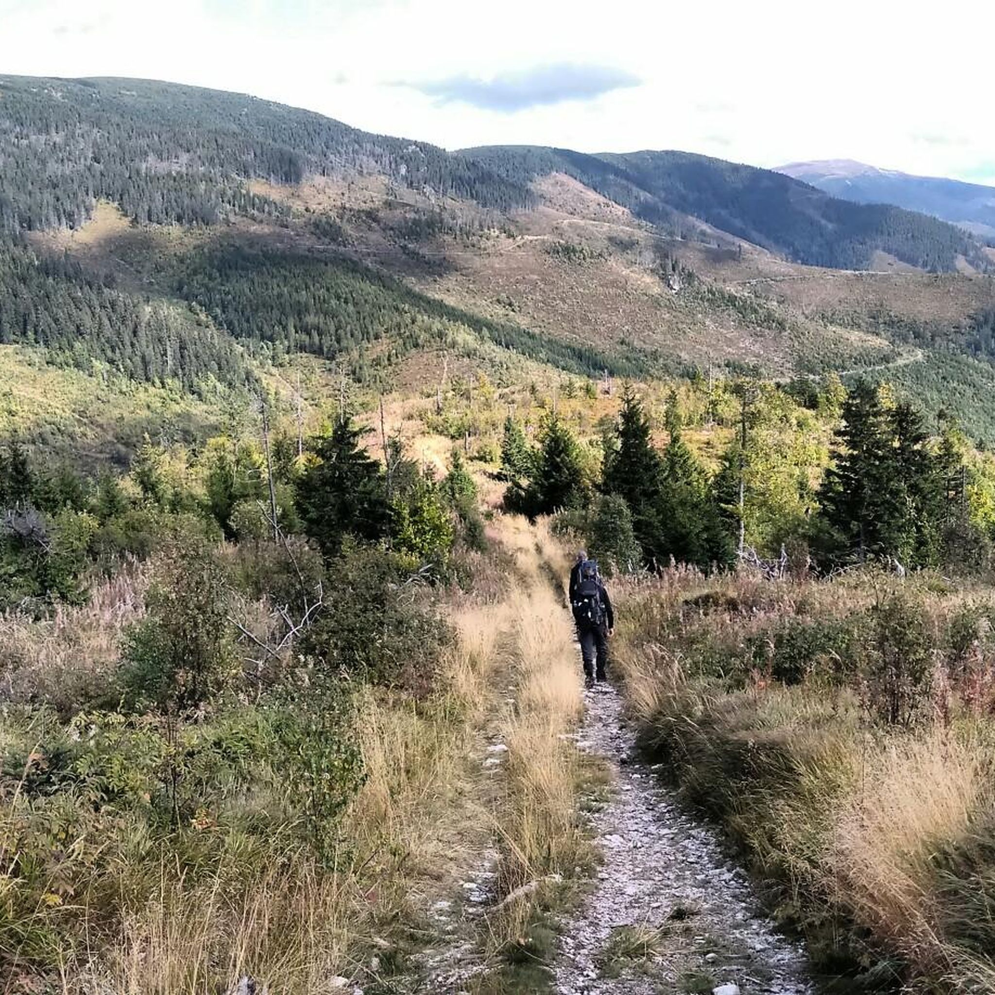
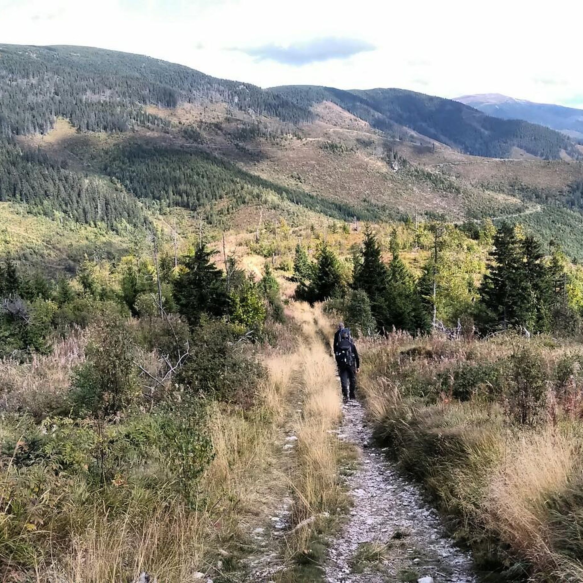
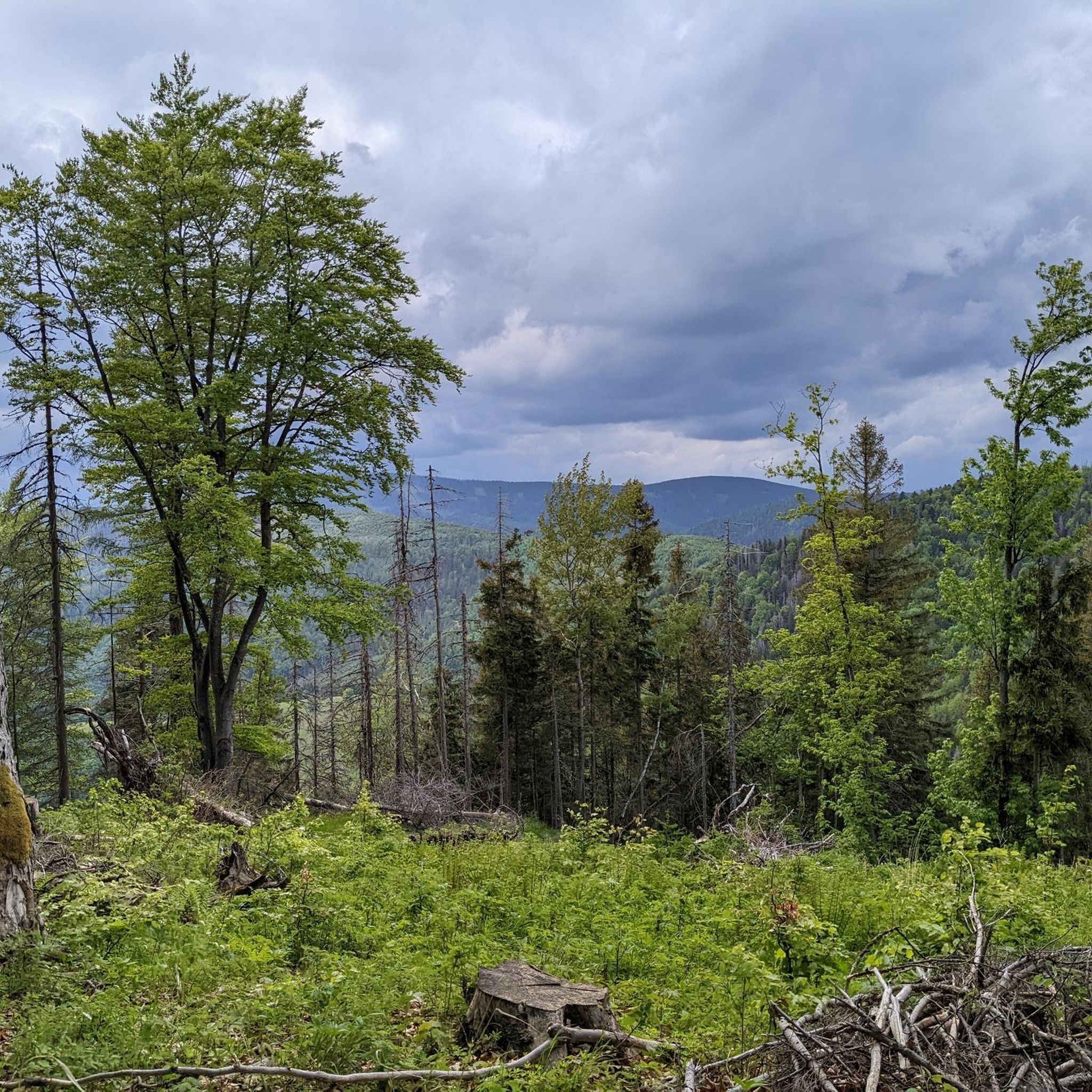
beautiful view from the forest path
0
0

Probably the tastiest naturally carbonated mineral water.
0
0
Frequently Asked Questions
What is the typical difficulty level of touring cycling routes in Muránska Planina - Op?
Touring cycling in Muránska Planina - Op is characterized by challenging terrain. All routes listed are graded as difficult, featuring significant elevation changes and extensive forest paths, making them best suited for experienced cyclists.
Are there any family-friendly touring cycling routes in Muránska Planina - Op?
Given the mountainous nature of Muránska Planina - Op and the fact that all listed touring cycling routes are graded as difficult, they are generally not recommended for families with young children or beginner cyclists. The routes involve substantial climbs and varied terrain.
What is the best time of year for touring cycling in Muránska Planina - Op?
The most favorable time for touring cycling in Muránska Planina - Op is typically from late spring through early autumn (May to October). During these months, the weather is generally milder, and the trails are free of snow and ice, which can be present in the higher elevations during winter.
What should I wear for touring cycling in Muránska Planina - Op?
Due to the region's mountainous character and varied weather conditions, it's advisable to wear layers. This allows you to adapt to temperature changes, especially when ascending or descending. Waterproof and windproof outer layers are recommended, along with appropriate cycling gear for comfort and safety on longer, more challenging rides.
Which touring cycling routes offer the best viewpoints in Muránska Planina - Op?
For expansive views, consider the Čierny Váh Reservoir – View of Čierny Váh Reservoir loop from Heľpa. This route is known for its scenic vistas of the reservoir and surrounding landscape.
Are there places to stop for refreshments along the touring cycling routes?
While the routes traverse natural reserves and dense forest areas, some villages or towns near the starting points, such as Heľpa or Pohronská Polhora, may offer limited options for refreshments. It's always recommended to carry sufficient water and snacks, especially on longer, more remote sections.
Are there any circular touring cycling routes in Muránska Planina - Op?
Yes, several routes in the region are designed as loops. For example, you can explore the Sedlo Tlstý Javor loop from Pohronská Polhora, which navigates through mountainous terrain, or the shorter Predná hora loop from Muránska Lehota, leading through hilly forested landscapes.
What is the longest touring cycling route available in Muránska Planina - Op?
The longest touring cycling route in this selection is the Alternate route to Muráň loop from Revúca, covering approximately 120.9 kilometers (75.1 miles) with significant elevation gain.
What do other touring cyclists enjoy the most about touring cycling in Muránska Planina - Op?
The area is highly rated by the komoot community, with an average score of 4.5 stars. Reviewers often praise the challenging ascents, extensive forest paths, and scenic mountain passes that define the touring cycling experience in Muránska Planina - Op.
Can I reach the starting points of these touring cycling routes by public transport?
Access to Muránska Planina - Op by public transport can be limited, especially to the more remote starting points of some routes. Towns like Heľpa, Pohronská Polhora, or Revúca, which serve as starting points for some tours, may have bus or train connections, but it's advisable to check local schedules in advance for specific routes and timings.
Are there any shorter touring cycling options for a quicker ride?
While most routes are challenging and longer, the Predná hora loop from Muránska Lehota is a relatively shorter option at 28.3 kilometers (17.6 miles), typically completed in about 2 hours and 13 minutes, offering a taste of the region's hilly, forested landscapes.
What kind of landscape can I expect while touring cycling in Muránska Planina - Op?
Muránska Planina - Op is a mountainous national park, so you can expect a landscape characterized by significant elevation changes, dense forest areas, and varied terrain. Routes often lead through natural reserves, offering opportunities to experience unique ecosystems and scenic mountain passes.
Most popular routes in Muránska Planina - Op

Get inspired with the komoot mobile app


Explore more
Browse the best Cycling routes in other regions.
