The best walks and hikes in Muránska Planina - Op
4.2
(62)
629
hikers
22
hikes
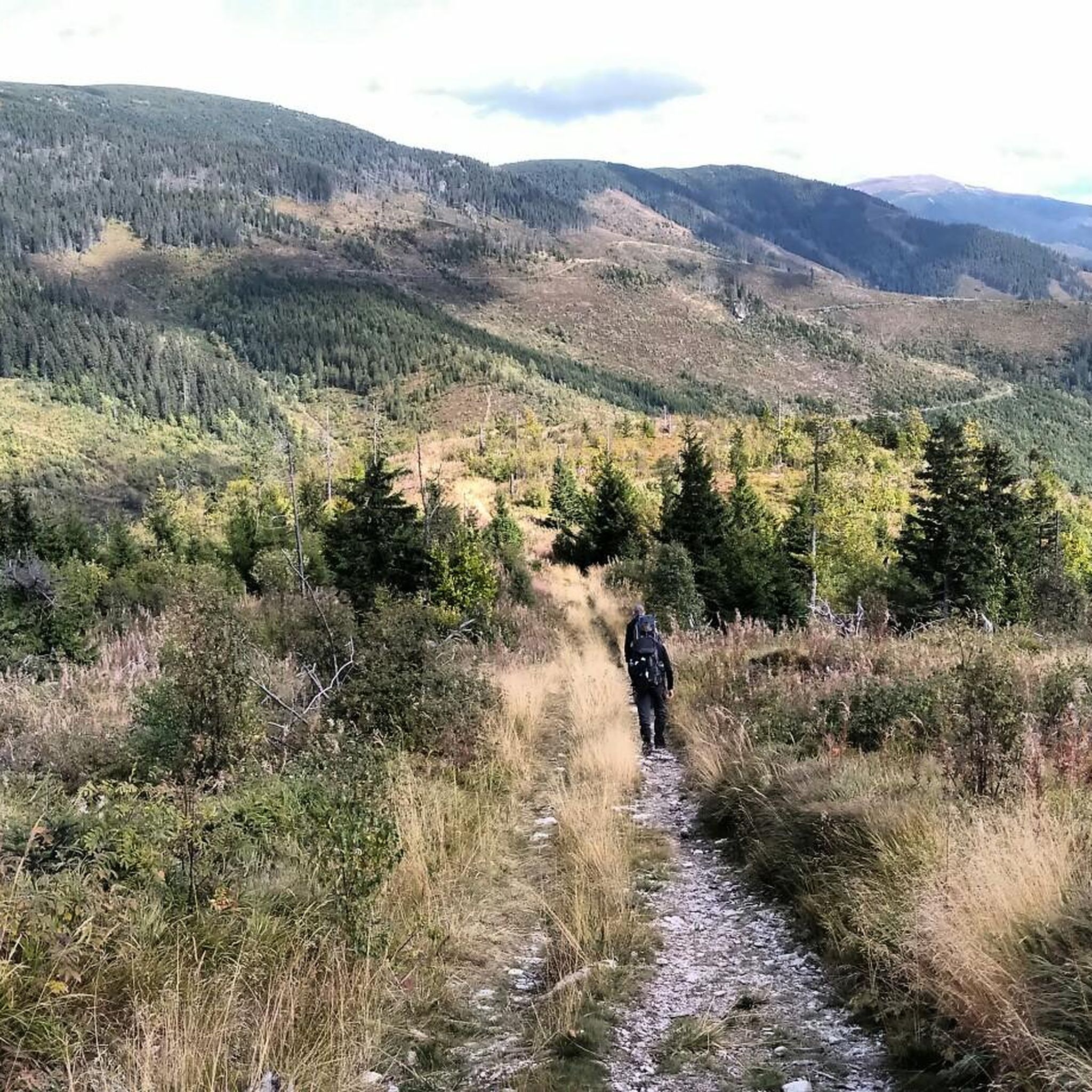
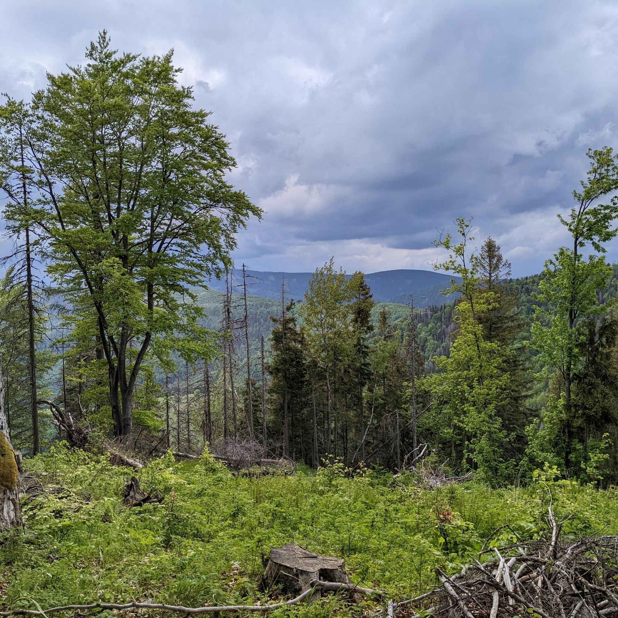
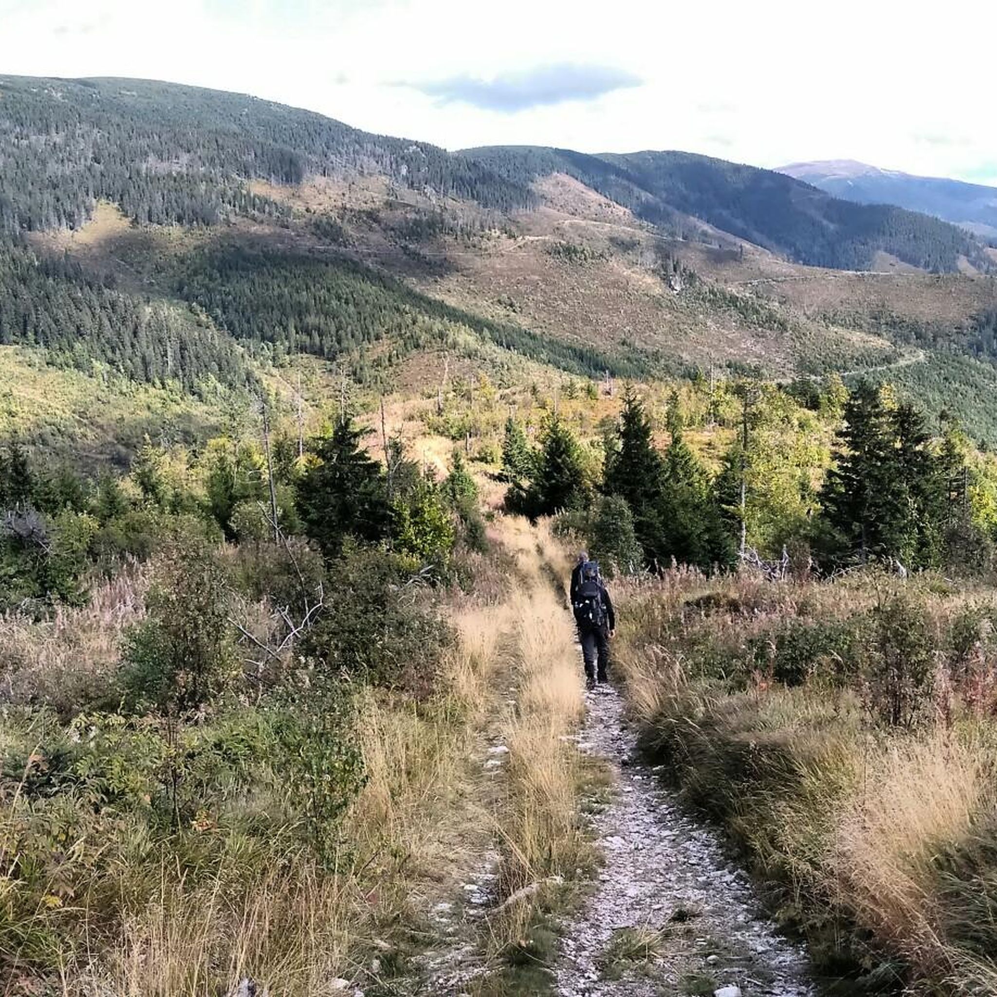
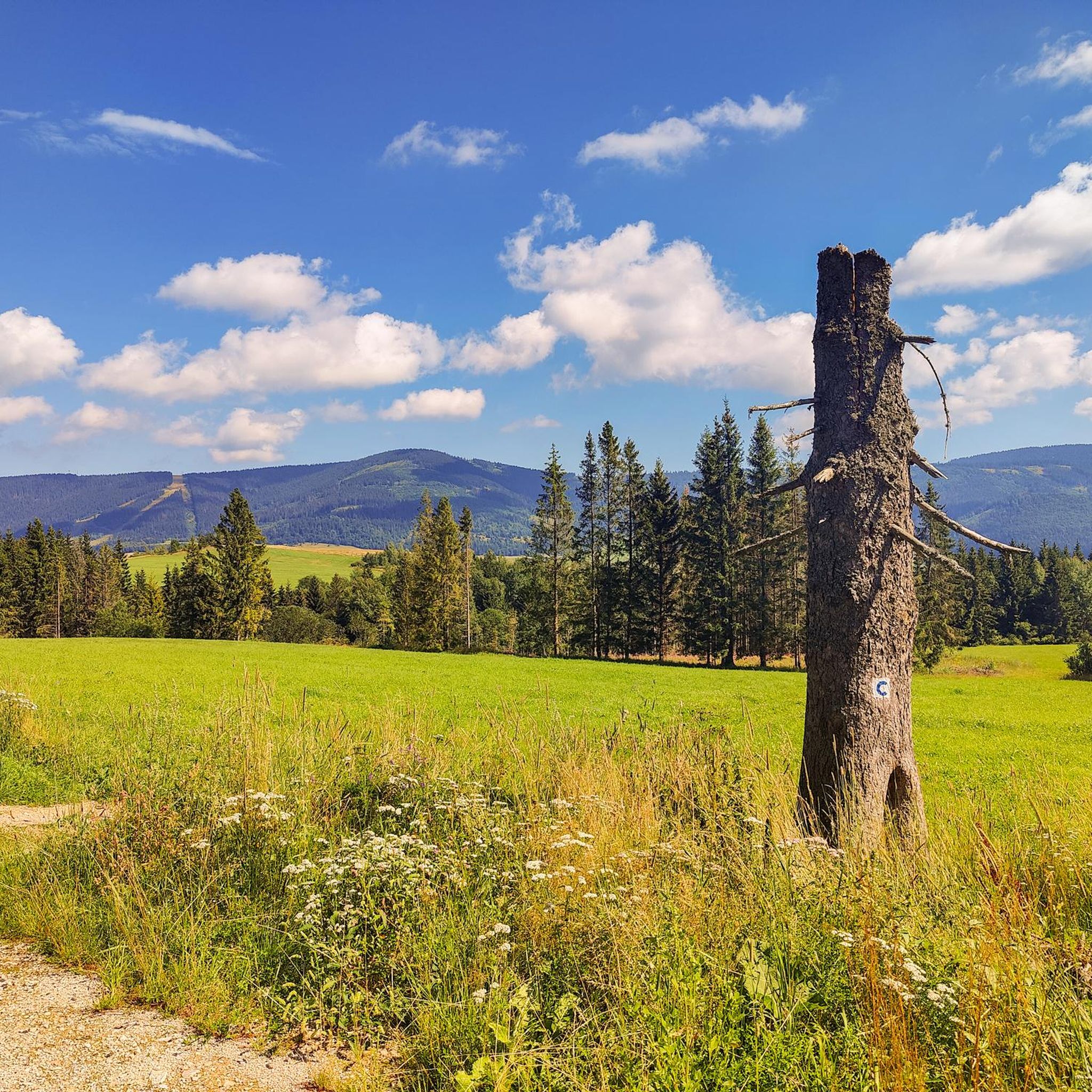
Hiking in Muránska Planina - Op offers access to a distinctive karst landscape in central Slovakia. The region is characterized by limestone and dolomite plateaus, deep gorges, and rugged valleys carved by water. Elevations range from 900 m to 1400 m on the central plateau, surrounded by steep, rocky slopes. Dense oak, beech, and spruce-fir forests cover approximately 90% of the area, supporting diverse ecosystems.
Best hiking trails in Muránska Planina - Op
- The most popular hiking route is Čertova Jaskyňa Cave loop from Čertova dolina, a 3.0 miles (4.8 km) trail that takes 1 hour 28 minutes to complete. This easy route explores the area around Čertova dolina.
- Another top favourite among local hikers is Fabova Hoľa – Javoriny Signpost loop from Zbojská, a moderate 8.3 miles (13.3 km) path. This trail offers significant elevation gain through forested terrain towards Fabova hoľa.
- Local hikers also love the Hradová loop from Tisovec mesto, a 5.6 miles (9.0 km) trail leading through varied landscapes near Tisovec, often completed in about 3 hours 11 minutes.
- Hiking in Muránska Planina - Op is defined by extensive karst formations, deep gorges, and forested plateaus. The network offers options for different ability levels, from easy walks to more challenging ascents.
- The routes in Muránska Planina - Op are highly rated by the komoot community with an average score of 4.2 stars from over 60 reviews. More than 600 hikers have used komoot to explore Muránska Planina - Op's varied terrain.
Last updated: July 2, 2026
4.7
(13)
123
hikers
4.83km
01:28
170m
170m
Easy hike. Great for any fitness level. Easily-accessible paths. Suitable for all skill levels.
18
hikers
13.3km
04:34
700m
700m
Moderate hike. Good fitness required. Easily-accessible paths. Suitable for all skill levels.

Sign up for free
16
hikers
9.04km
03:11
450m
450m
Moderate hike. Good fitness required. Mostly accessible paths. Sure-footedness required.
4.0
(1)
7
hikers
8.69km
02:50
360m
360m
Moderate hike. Good fitness required. Easily-accessible paths. Suitable for all skill levels.
6
hikers
13.2km
04:21
640m
640m
Moderate hike. Good fitness required. Easily-accessible paths. Suitable for all skill levels.
Get access to more routes and recommendations from other explorers.
Sign up for free
Already have an account?
Our route recommendations are based on thousands of hikes, rides, and runs completed by other people on komoot.
Start today with a free account
Your next adventure awaits.
Login or Signup
Tips from the Community

A very nice route with no real difficulty but it is quite exposed in one section.
0
0

Certainly not with a dog and a small child!
0
0
We walked the route with a small dog (Schnautzer) but had to turn around halfway because it couldn't do a certain part that we did with climbing irons. A very beautiful but still not an easy route.
1
0

Very adventurous but not too strenuous. Good for a nice morning or afternoon. Great subjects for those who like to take photos.
0
0

Part of the Jakub Surovec circular route. You almost feel like you are in the NP Slovak Paradise. Also suitable for children and accessible with dogs.
0
0
Unfortunately, the cave is closed and can only be visited as part of guided tours.
0
0

Legendary mutton and buns on Zbojská https://sk.wikipedia.org/wiki/Zbojsk%C3%A1
0
1
The unspoiled nature of the Ore Mountains https://sk.wikipedia.org/wiki/Fabova_ho%C4%BEa_(vrch)
0
0
Frequently Asked Questions
How many hiking trails are available in Muránska Planina National Park?
Muránska Planina National Park offers a network of over 300 km of marked hiking trails. On komoot, you can find 22 curated hiking routes, ranging from easy walks to more challenging ascents, with 3 easy, 13 moderate, and 6 difficult options.
What are the most notable natural features to explore in Muránska Planina?
The park is renowned for its distinctive karst landscapes, featuring dramatic limestone and dolomite plateaus, sinkholes, and rock formations. You can explore deep gorges like the Hrdzavá Valley, which has smaller waterfalls, or the wild Martinova Dolina. The area also boasts over 300 caves, though most are inaccessible to the public. Notable caves include Bobačka and Wesselényiho jaskyňa.
Are there any family-friendly hiking trails in Muránska Planina?
Yes, there are several options suitable for families. An easy and popular choice is the Čertova Jaskyňa Cave loop from Čertova dolina, which is 4.8 km long and takes about 1 hour 28 minutes. This route explores the area around Čertova dolina and is generally accessible for various fitness levels.
What kind of wildlife can I expect to see while hiking in Muránska Planina?
Muránska Planina is a haven for diverse wildlife. You might spot large carnivores such as the Eurasian lynx, brown bear, and grey wolf. Birdwatchers can look out for golden eagles and peregrine falcons. The meadows are also famous for their semi-wild horses of the Muráň-type Norik breed, particularly at Veľká Lúka, and ground squirrels thrive in areas like Biele vody near Muráň.
Are there any circular hiking routes in Muránska Planina?
Yes, many trails in Muránska Planina are designed as loops. For example, the Hradová loop from Tisovec mesto is a moderate 9.0 km trail that takes you through varied landscapes near Tisovec. Another option is The Eye of Polomka Lookout loop from Polomka, an 8.7 km moderate hike offering scenic views.
What is the best time of year to go hiking in Muránska Planina?
The best time for hiking is generally from spring to autumn, when the weather is mild and trails are clear. The diverse ecosystems, including wildflowers in spring and vibrant foliage in autumn, make these seasons particularly appealing. In winter, the park transforms into a destination for cross-country skiing, with nearly 360 km of trails, but hiking conditions can be challenging due to snow and ice.
What are the options for parking when visiting Muránska Planina for hiking?
Hikers can find convenient access points and parking in villages surrounding the park. Key starting points include Muráň, Tisovec, Červená Skala, Závadka nad Hronom, and the Zbojská saddle. Specific parking areas are usually available near trailheads in these locations.
Can I reach Muránska Planina National Park by public transport?
Yes, the park is accessible by public transport. The villages of Muráň, Tisovec, Červená Skala, Závadka nad Hronom, and the Zbojská saddle serve as convenient access points, and these are typically connected by local bus or train services, allowing you to reach various trailheads.
Are there any historical landmarks or viewpoints along the hiking trails?
Absolutely. A prominent historical landmark is the ruins of Muráň Castle, perched atop a limestone cliff at 935 meters. A moderately challenging hike to the castle offers panoramic views and interpretative panels. Other attractive hiking spots with viewpoints include Poludnica, Fabova hoľa, Hradová vrch, and lookout towers in Tisovec and Zbojská Saddle.
What do other hikers enjoy most about hiking in Muránska Planina?
The area is highly rated by the komoot community, with an average score of 4.2 stars from over 60 reviews. Reviewers often praise the distinctive karst landscapes, the rich biodiversity, and the extensive network of well-marked trails that cater to various difficulty levels. The opportunity to spot unique wildlife and visit historical sites like Muráň Castle are also frequently highlighted.
Are there any specific regulations for dog owners on the trails in Muránska Planina?
While Muránska Planina National Park generally welcomes hikers with dogs, it's crucial to keep your dog on a leash at all times to protect the diverse wildlife, especially large carnivores and ground-nesting birds. Always follow local signage and regulations, particularly in protected zones or areas with grazing animals like the semi-wild horses.
What is the highest point accessible by hiking in Muránska Planina National Park?
The highest point within the park itself is Fabova hoľa at 1,439 meters. You can reach it via trails such as the moderate Fabova Hoľa – Javoriny Signpost loop from Zbojská, which involves significant elevation gain through forested terrain. The nearby Stolica, at 1,476 meters, is the highest peak of the Slovak Ore Mountains but is located in the buffer zone rather than directly within the park.
Most popular routes in Muránska Planina - Op

Get inspired with the komoot mobile app


Explore more
Browse the best Hikes in other regions.
