The best running trails in Sierra De Aracena Y Picos De Aroche
5.0
(6)
491
runners
94
runs
Jogging routes in Sierra De Aracena y Picos de Aroche traverse a diverse landscape characterized by its unique "dehesa" ecosystem of holm oaks and cork oaks, alongside extensive chestnut and Pyrenean oak forests. The terrain features gently rolling hills and wooded valleys, with riverine forests providing refreshing scenery along waterways. This natural park offers a varied environment for running, from shaded paths to open spaces.
Best jogging routes in Sierra De Aracena Y Picos De Aroche
- The most popular jogging…
Last updated: July 7, 2026
5
runners
Hard run. Very good fitness required. Mostly accessible paths. Some sure footedness required.
4
runners
6.07km
00:50
310m
310m
Hard run. Very good fitness required. Mostly paved surfaces. Suitable for all skill levels.

Sign up for free
3
runners
11.8km
01:35
410m
420m
This difficult 7.3-mile trail run at Pico La Era offers challenging climbs and spectacular views across the Sierra de Aracena y Picos de Aro
14.9km
02:00
430m
430m
This difficult 9.2-mile (14.9 km) jogging loop in Sierra de Aracena offers varied terrain, historical sites, and village views.
38
runners
26.5km
03:30
810m
810m
Hard run. Very good fitness required. Mostly paved surfaces. Suitable for all skill levels.
Get access to more routes and recommendations from other explorers.
Sign up for free
Already have an account?
Our route recommendations are based on thousands of hikes, rides, and runs completed by other people on komoot.
Start today with a free account
Your next adventure awaits.
Login or Signup
Popular around Sierra De Aracena Y Picos De Aroche

European Divide Trail — 7,600 km across the continent

La Vuelta 26 — All Official Stages
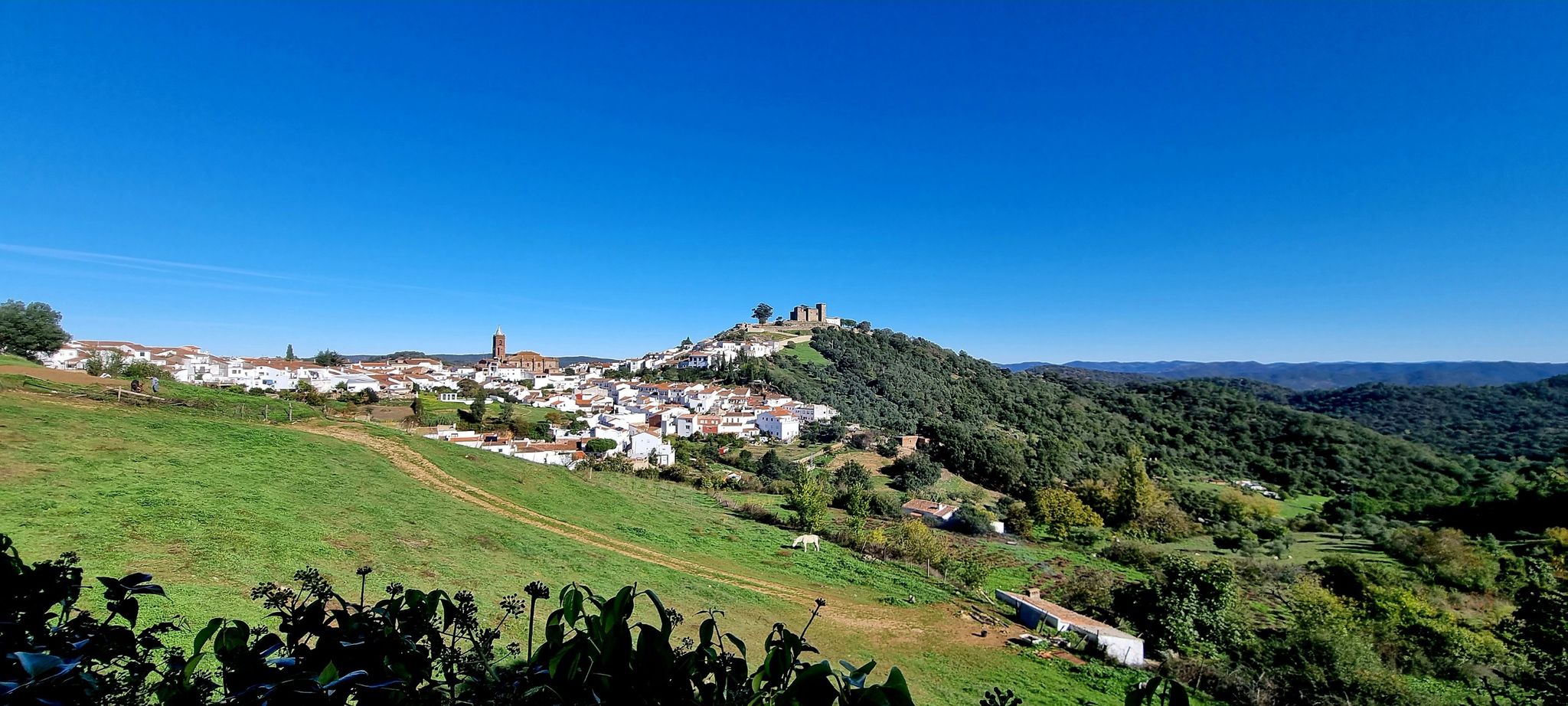
European Divide Trail across the Iberian Peninsula – south
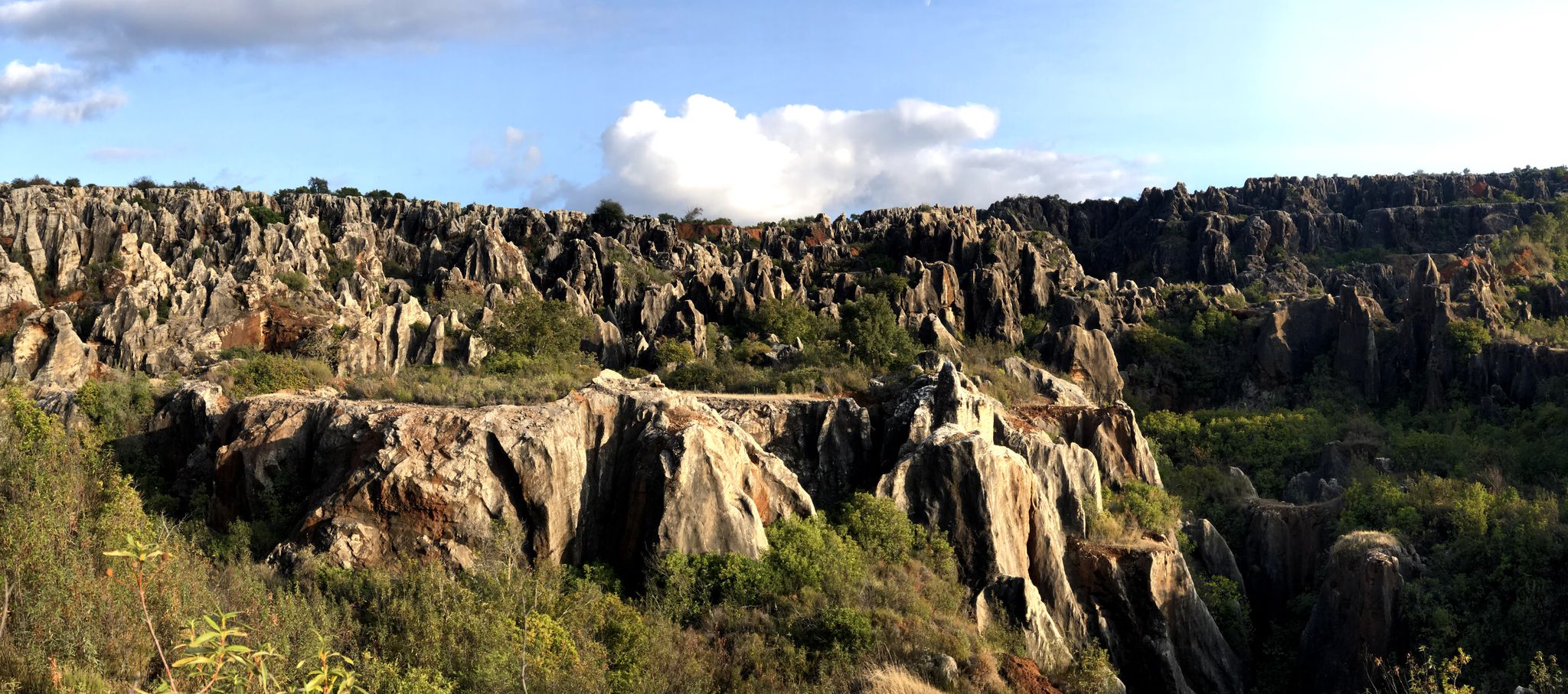
Cycling among the mysterious faults – Sierra Morena (GR 48)
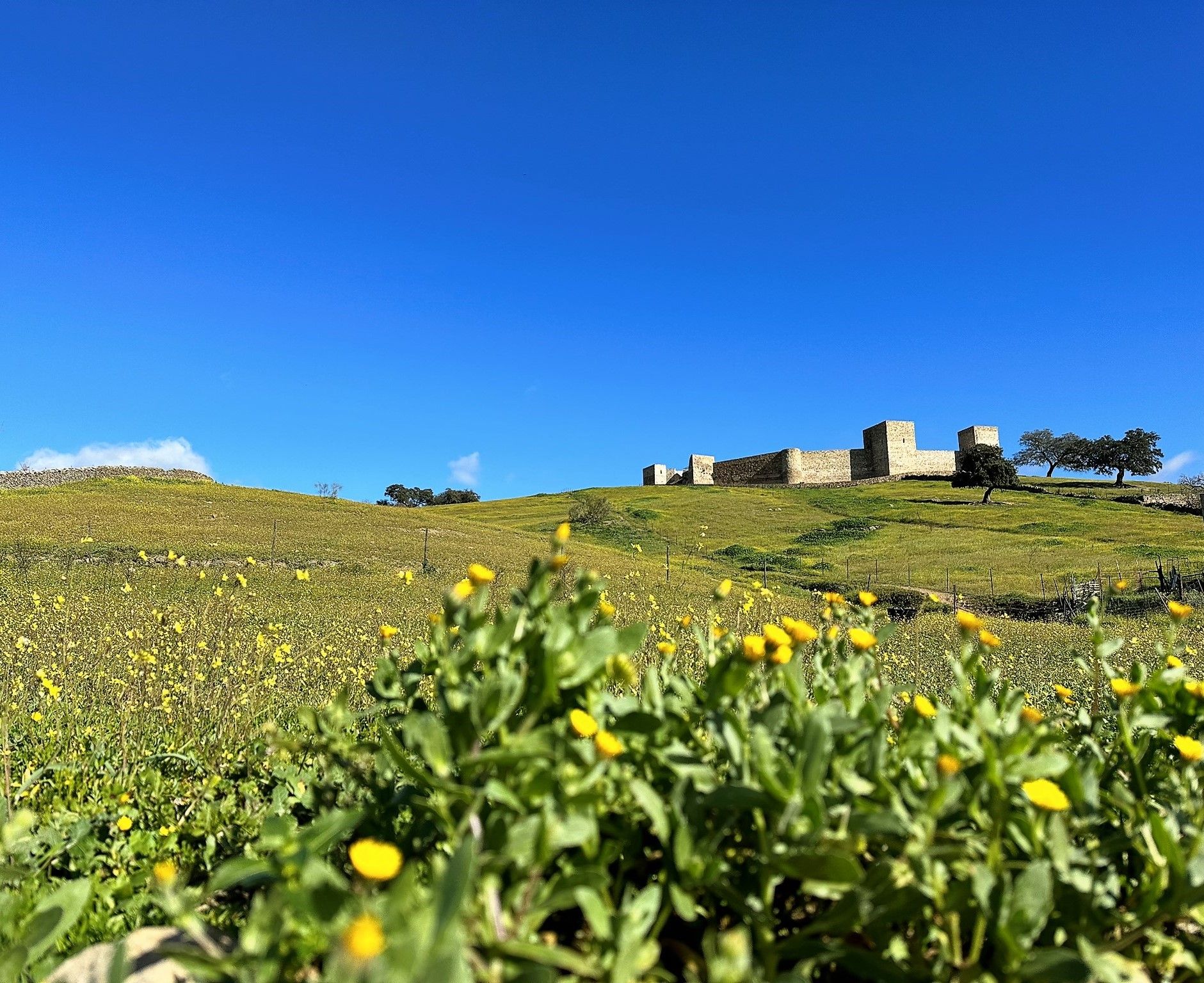
Dehesas and castles of Sierra Morena – Huelva and Seville on foot (GR 48)

Wild and free Andalusia – Transandalus through the interior
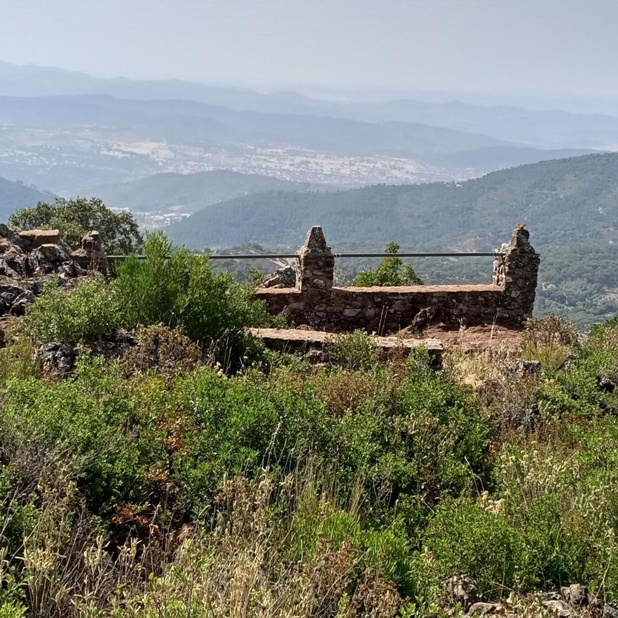
Road Cycling Routes in Sierra De Aracena Y Picos De Aroche
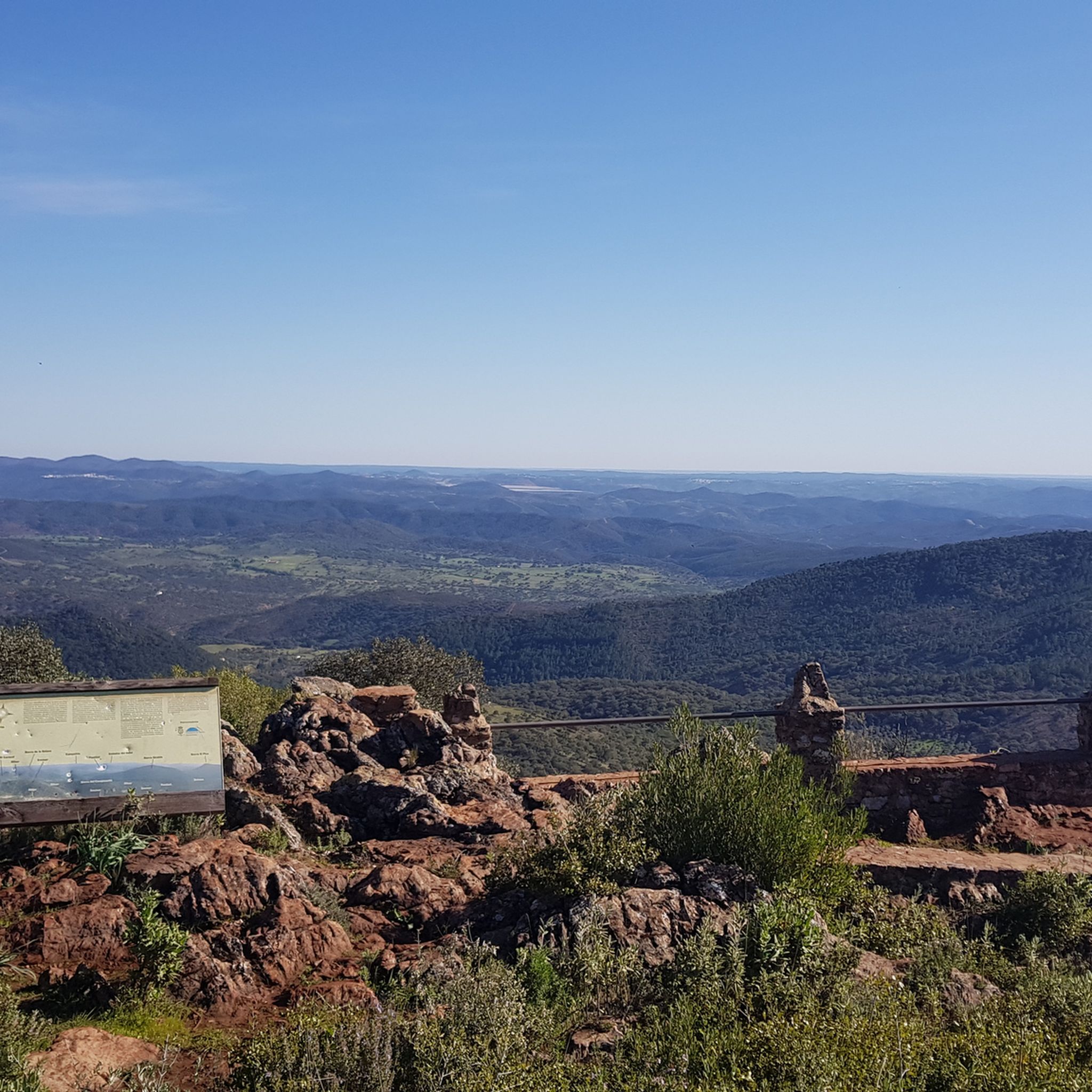
Hiking in Sierra De Aracena Y Picos De Aroche
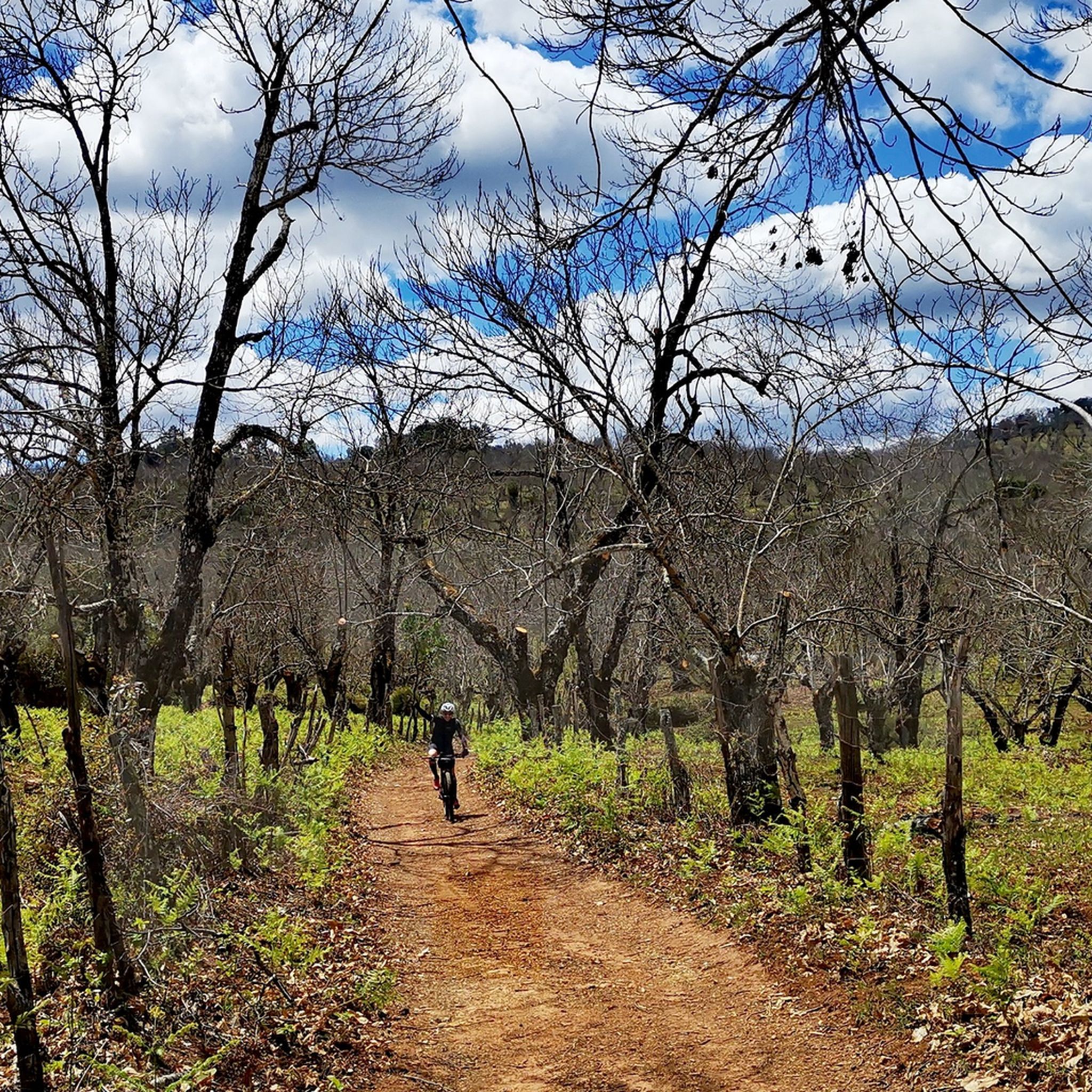
MTB Trails in Sierra De Aracena Y Picos De Aroche
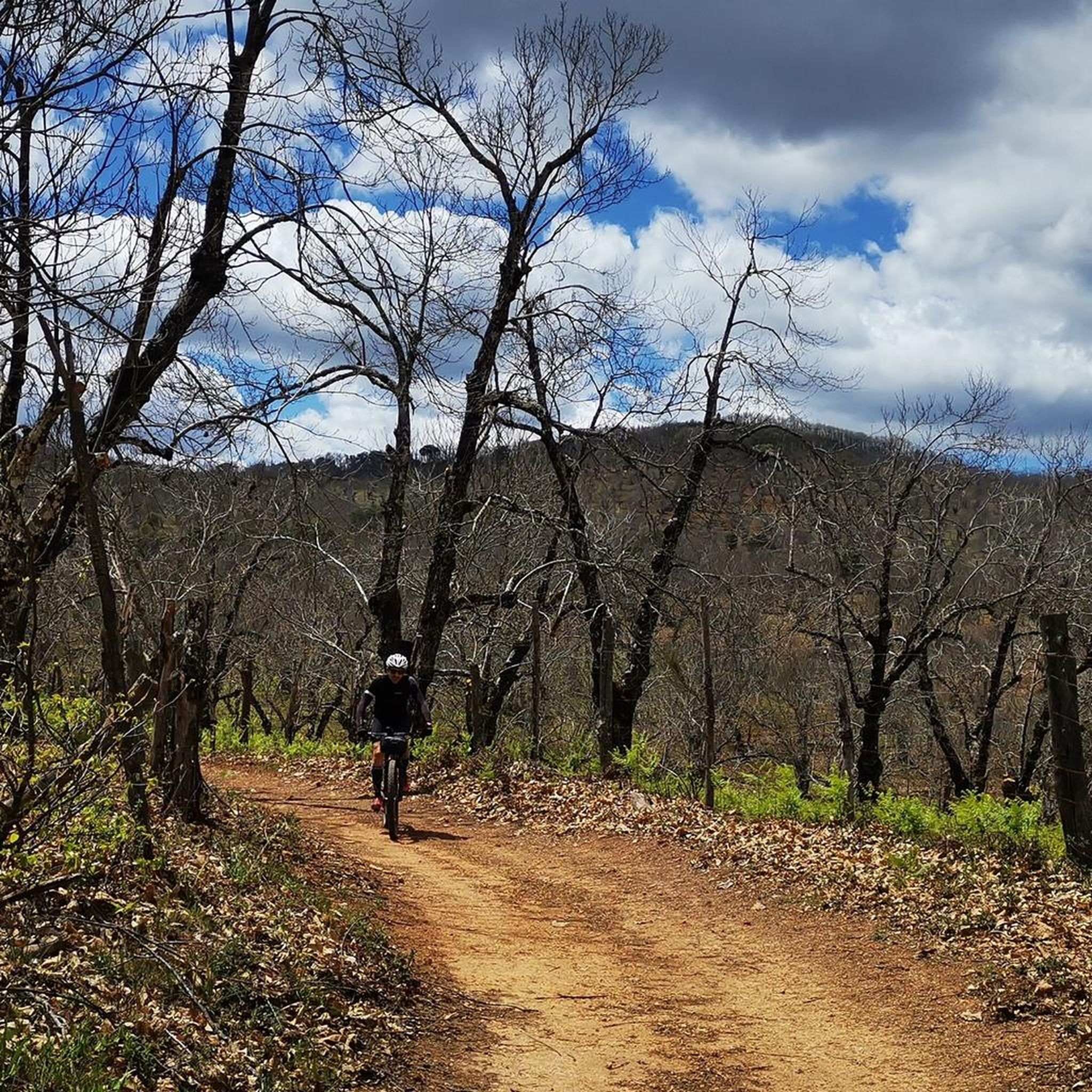
Cycling in Sierra De Aracena Y Picos De Aroche
Other adventures in Sierra De Aracena Y Picos De Aroche


Tips from the Community

Just as a side note: photography is forbidden in the cave. Unlike others, I also adhered to it.
0
0

Unfortunately cloudy but the view is magnificent!
0
0

The Camino de Santa Ana to Alájar is a popular hiking route in the Sierra de Aracena and Picos de Aroche, in the province of Huelva. This trail connects the towns of Santa Ana la Real and Alájar, offering a picturesque route through natural landscapes and points of historical interest.😊
3
0
The Hermitage of Santa Bárbara is located at the top of the Sierra de Santa Bárbara, in Higuera de la Sierra. Although the hermitage is unfinished, it has become one of the best viewing points for contemplating the town and its surroundings.
2
0
One of the most popular routes to reach Pico La Era begins in the village of Los Marines. This route is relatively easy and has a distance of about 4.3 kilometres, with a maximum gradient of 161 metres. Along the way, hikers can enjoy the typical vegetation of the area, including chestnut trees, holm oaks and strawberry trees. From the top of the peak, you can admire impressive panoramic views, including the geodesic vertex that marks the highest point.
3
0
Higuera de la Sierra is an excellent option to enjoy nature and culture in the province of Huelva. This charming municipality is located in the Sierra de Huelva region and is part of the Sierra de Aracena and Picos de Aroche Natural Park. Don't miss the Church of San Sebastián, an 18th-century building listed as a Site of Cultural Interest. You can also visit the Hermitage of San Antonio and the Chapel of Cristo del Rosario.
5
0
The Cerro de San Cristóbal in Almonaster la Real is one of the highest points in the province of Huelva, with an altitude of 913 meters. This hill is part of the Sierra de Aracena and Picos de Aroche Natural Park, and is known for its impressive panoramic views.😊
6
0
The great extension of its lakes, the abundance and variety of formations, and the length of its development make this underground complex a complex of great beauty and showiness. This spring of inexhaustible beauty, forged by time on nature itself with the help of elements as simple as water and stone, offers an exceptional set of galleries, halls, lakes and underground courses.
3
0
Frequently Asked Questions
How many running routes are available in Sierra De Aracena Y Picos De Aroche?
The Sierra De Aracena Y Picos De Aroche region offers a wide selection of over 75 running routes. These trails traverse diverse landscapes, from unique 'dehesa' ecosystems to lush chestnut forests, providing varied options for runners.
What is the best season for jogging in Sierra De Aracena Y Picos De Aroche?
The region benefits from a mild climate and significant rainfall, contributing to consistently green landscapes. While pleasant year-round, autumn is particularly beautiful due to the stunning colors of the extensive chestnut and Pyrenean oak forests. Spring also offers vibrant greenery and comfortable temperatures.
Are there any easy or moderate running trails in the area?
While many routes in the region are rated as difficult, there are 28 moderate running trails available. These routes offer a less strenuous experience compared to the 47 difficult trails, allowing runners of various fitness levels to enjoy the natural beauty of Sierra De Aracena Y Picos De Aroche.
What kind of natural features can I expect to see on the running routes?
Runners will experience a diverse natural environment, including the unique 'dehesa' landscape with its holm oaks and cork oaks, extensive chestnut and Pyrenean oak forests, and refreshing riverine forests along waterways like the Múrtigas. The terrain features gently rolling hills, wooded valleys, and some more dramatic rocky outcrops, offering varied scenery.
Are there any circular running routes in Sierra De Aracena Y Picos De Aroche?
Yes, many routes in the region are circular, allowing you to start and end in the same location. For example, the Alájar and Santa Ana la Real Loop is a challenging 14.8 km circular path that takes you through picturesque landscapes. Another option is the longer Mirador de Castañuelo – Mirador del Castañar loop from Aracena, covering 25.9 km.
What do other runners enjoy most about the trails in Sierra De Aracena Y Picos De Aroche?
The running routes in Sierra De Aracena Y Picos De Aroche are highly rated by the komoot community, with an average score of 5.0 stars. Reviewers often praise the varied terrain, the beauty of the dehesa landscape and chestnut forests, and the opportunity to explore the region's charming villages.
Are there any notable landmarks or attractions along the running trails?
Yes, the region is dotted with charming white villages and natural attractions. You might encounter historical sites like Aracena Castle offering panoramic views, or natural wonders such as the Grotto of the Marvels in Aracena. Many routes also pass by significant peaks like Cerro de San Cristóbal or religious buildings like Arias Montano Peak and the Hermitage of Our Lady of the Angels.
Can I find amenities like cafes or pubs near the running routes?
The natural park is dotted with numerous picturesque whitewashed villages such as Aracena, Aroche, Almonaster la Real, and Jabugo. Many running routes connect or pass through these villages, where you can often find local amenities like cafes, pubs, and restaurants to refuel and experience traditional Andalusian life.
Are there any challenging running routes for experienced runners?
Absolutely. The Sierra De Aracena Y Picos De Aroche offers 47 difficult running routes, providing significant elevation gains and varied terrain for experienced runners. An example is the Sierra de Magallanes y Ermita de Santa Bárbara — circular desde Higuera de la Sierra, a 11.6 km difficult trail with over 400 meters of elevation gain.
What is the typical duration for a running route in this region?
The duration of running routes varies significantly depending on the distance and difficulty. For instance, the Cerro de San Cristóbal - circular from Almonaster La Real, a 6.1 km difficult trail, can be completed in about 49 minutes. Longer and more challenging routes, like the 14.8 km Alájar and Santa Ana la Real Loop, might take around 2 hours to complete.
Is public transport available to access the running trails?
The region's extensive network of trails connects many of its villages. While specific public transport details for trailheads are not provided, accessing the larger villages like Aracena, Almonaster la Real, or Higuera de la Sierra, which serve as starting points for many routes, is generally possible via regional bus services. It's advisable to check local transport schedules for specific village connections.
Most popular routes in Sierra De Aracena Y Picos De Aroche
Most popular attractions in Sierra De Aracena Y Picos De Aroche

Get inspired with the komoot mobile app


Explore more
Browse the best Running Trails & Routes in other regions.
