The best running trails in Sierra Blanquilla
4.4
(10)
316
runners
26
runs
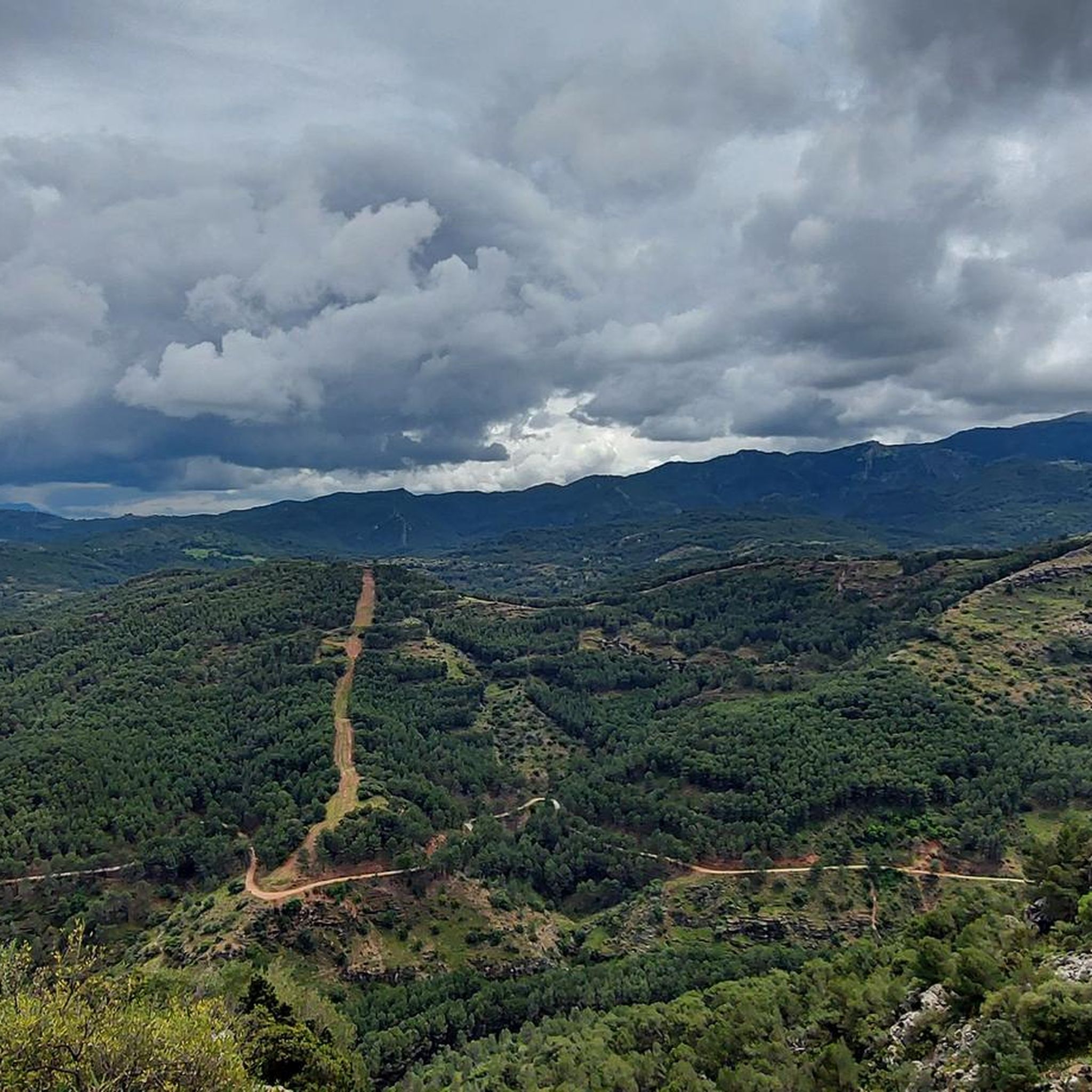
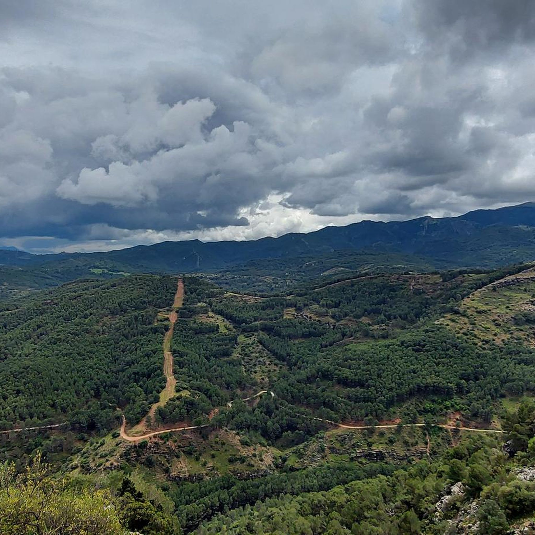
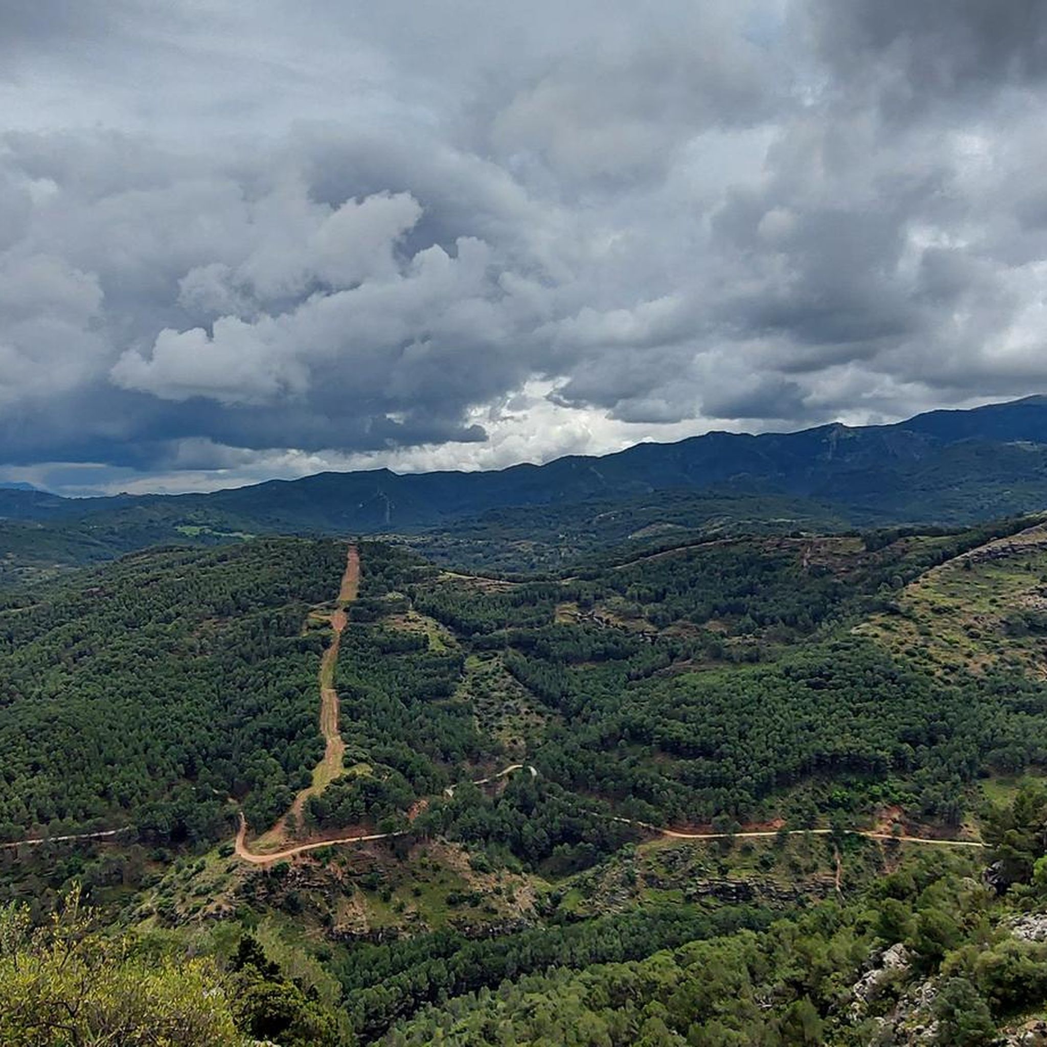
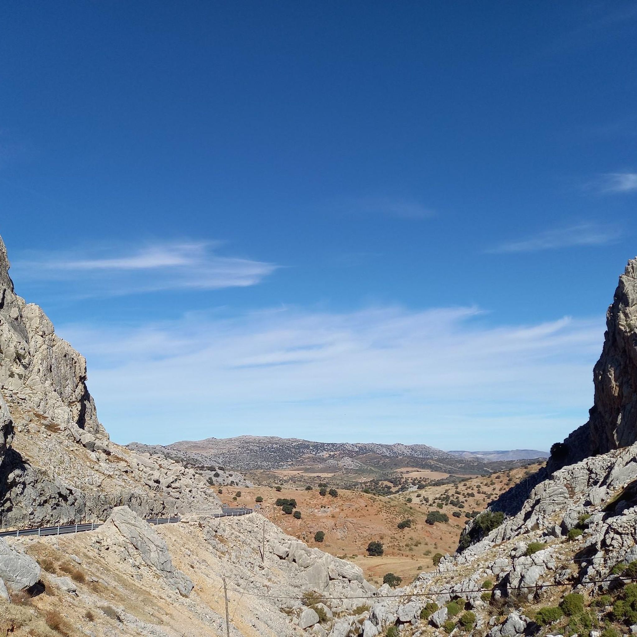
Jogging in Sierra Blanquilla offers varied terrain across its predominantly calcareous geology, featuring extensive karst platforms and diverse elevations. The region is characterized by sclerophyllous forests of holm oaks and cork oaks, alongside pine forests on its eastern and southeastern slopes. These natural features provide a picturesque environment for running routes, ranging from gentle paths to more demanding trails. The area forms part of the Sierra de las Nieves biosphere reserve, ensuring a rich natural backdrop for outdoor activity.
Best…
Last updated: July 4, 2026
5
runners
4.71km
00:32
40m
40m
Easy run. Great for any fitness level. Mostly paved surfaces. Suitable for all skill levels.
31
runners
13.8km
01:45
390m
390m
Hard run. Very good fitness required. Mostly paved surfaces. Suitable for all skill levels.

Sign up for free
14
runners
11.3km
01:14
170m
170m
Moderate run. Good fitness required. Mostly paved surfaces. Suitable for all skill levels.
12
runners
12.2km
01:27
190m
190m
Moderate run. Good fitness required. Mostly paved surfaces. Suitable for all skill levels.
6
runners
13.0km
01:36
440m
440m
Hard run. Very good fitness required. Mostly paved surfaces. Suitable for all skill levels.
Get access to more routes and recommendations from other explorers.
Sign up for free
Already have an account?
Our route recommendations are based on thousands of hikes, rides, and runs completed by other people on komoot.
Start today with a free account
Your next adventure awaits.
Login or Signup
Popular around Sierra Blanquilla
Tips from the Community

It's very beautiful there. It's tempting to swim.
1
0

The dam is located on the Turón riverbed and its function is to regulate flow and sediments. Regardless of its use, the environment that surrounds it is very picturesque and highly visited by those who frequent the area. It is easily reached by following the path that goes along the river.
1
0

This trail makes up the first stage between Ronda and El Burgo of the Long Distance Trail number 243, whose commercial name is Sendero de la Sierra de las Nieves. It is mainly used by hikers so drive carefully in the less wide sections.
2
0
The origin of this town is Celtic, but in its streets you can see vestiges of its Roman and Andalusian past and as a refuge for bandits from the Costa del Sol. It has been rebuilt on several occasions, mainly after the 1775 earthquake that caused it very affected.
4
0
This port is a mandatory stop both to rest and to contemplate the foothills of Sierra Hidalga and its centuries-old Spanish firs.
2
0

The highest point of the cycling route and trail from El Burgo. Obligatory stop to observe to the southwest the singular and characteristic hill of Carramolo del Queso (in Sierra Hidalga) with some old Spanish firs.
0
0

The Turón river dams are responsible for regulating the flow and controlling excess sediment. From the Molino Caído dam there is a path that goes down to the bathing area, known as Azud Largo.
2
0

Great place for bathing in Turon river
3
1
Frequently Asked Questions
How many running routes are available in Sierra Blanquilla?
Sierra Blanquilla offers a wide variety of running experiences, with over 25 routes available. These range from easy paths to more challenging trails, catering to different fitness levels.
What is the best time of year to go jogging in Sierra Blanquilla?
The Mediterranean climate of Sierra Blanquilla features warm, dry summers and colder, less rainy winters. The most ideal seasons for jogging are generally spring and autumn, when temperatures are milder and the natural scenery is at its most vibrant. Early mornings or late afternoons are also recommended during warmer months.
Are there easy running routes suitable for beginners in Sierra Blanquilla?
Yes, Sierra Blanquilla has easy running routes perfect for beginners or those looking for a relaxed run. A great option is the Carril del Dique Trail, which is approximately 2.9 miles (4.7 km) long with minimal elevation gain, typically taking around 32 minutes to complete.
Can I find challenging trail running options in Sierra Blanquilla?
Absolutely. For experienced trail runners seeking a challenge, Sierra Blanquilla offers several difficult routes with significant elevation changes. A notable example is the El Burgo Village Center – Molino Caído Dam loop from El Burgo, an 8.5-mile (13.7 km) path that leads to the Molino Caído Dam and features substantial ascents.
What kind of terrain can I expect on the running trails in Sierra Blanquilla?
The terrain in Sierra Blanquilla is predominantly characterized by its calcareous (limestone) geology, featuring extensive karst platforms and varied elevations. You'll run through diverse landscapes, including sclerophyllous forests of holm oaks and cork oaks, as well as pine forests on eastern and southeastern slopes. This mix provides both challenging ascents and gentler paths.
Are there any scenic viewpoints or natural features to enjoy while running in Sierra Blanquilla?
Yes, Sierra Blanquilla is rich in natural beauty. The region offers panoramic viewpoints, such as those near the Saucillo pass (at 1,200 meters), which provide magnificent vistas of various Málaga mountain ranges and the coast. You'll also encounter diverse vegetation, including holm oaks, cork oaks, and pine forests, creating a picturesque backdrop for your run.
What do other runners enjoy most about jogging in Sierra Blanquilla?
The running routes in Sierra Blanquilla are highly rated by the komoot community, with an average score of 4.3 stars from over 4 reviews. Runners often praise the varied terrain, the rich natural backdrop of diverse flora and fauna, and the established trails that cater to different ability levels.
Are there any circular running routes available in Sierra Blanquilla?
Many of the running routes in Sierra Blanquilla are designed as loops, offering a convenient way to explore the area without retracing your steps. For instance, the El Burgo Village Center – La Hierbabuena Spring loop from El Burgo is a popular 6.8-mile (10.9 km) circular trail through varied landscapes.
Are the running trails in Sierra Blanquilla suitable for families?
While some routes are challenging, Sierra Blanquilla does offer easier paths that can be suitable for families, especially those with some experience in outdoor activities. Look for routes described as 'easy' with minimal elevation gain, which provide a pleasant experience for all ages.
Are dog-friendly running trails available in Sierra Blanquilla?
Many natural areas in Sierra Blanquilla are generally dog-friendly, but it's always advisable to keep dogs on a leash, especially in areas with wildlife or livestock. Check local regulations for specific trails, but the diverse and open landscapes often provide great opportunities for running with your canine companion.
What are the parking options for accessing jogging trails in Sierra Blanquilla?
Access points to trails in Sierra Blanquilla, particularly near villages like El Burgo, often have designated parking areas. For specific routes, it's recommended to check the route details on komoot, as many start points are accessible by car with nearby parking facilities.
Is public transport available to reach the running routes in Sierra Blanquilla?
Public transport options to directly access trailheads within Sierra Blanquilla can be limited, as it is a natural, mountainous region. However, villages bordering the sierra, such as El Burgo, may have bus connections from larger towns in Málaga province. From these villages, many routes are accessible on foot.
How long do running routes typically take in Sierra Blanquilla?
Running route durations in Sierra Blanquilla vary significantly based on distance and difficulty. Easy routes like the Carril del Dique Trail can take around 30-40 minutes, while moderate trails such as the La Hierbabuena Spring – El Burgo Village Center loop from El Burgo might take over an hour. More difficult and longer routes, like the El Burgo Village Center – Puerto de la Mujer loop from El Burgo, can take over 1.5 to 2 hours or more.

Get inspired with the komoot mobile app


Explore more
Browse the best Running Trails & Routes in other regions.
