The best road cycling routes in Sierra Blanquilla
5.0
(3)
274
riders
8
rides
Road cycling routes in Sierra Blanquilla traverse a distinctive landscape characterized by calcareous, karstic terrain and varied elevations. The region, part of the Serranía de Ronda, features undulating mountain roads and challenging climbs, with the highest point reaching 1,428 meters. Cyclists encounter sclerophyllous holm oak forests, pine trees, and open areas, providing diverse scenery. This topography offers a range of road cycling experiences, from demanding ascents to routes with panoramic views of the surrounding Malaga mountain ranges.
Best road cycling…
Last updated: May 23, 2026
10
riders
73.4km
03:54
1,200m
1,200m
Hard road ride. Very good fitness required. Mostly well-paved surfaces and easy to ride.
6
riders
107km
06:14
2,350m
2,350m
Hard road ride. Very good fitness required. Some segments of this route may be unpaved and difficult to ride.

Sign up for free
9
riders
91.0km
04:56
1,830m
1,830m
Hard road ride. Very good fitness required. Some segments of this route may be unpaved and difficult to ride.
5.0
(3)
185
riders
74.8km
04:10
1,610m
1,610m
Hard road ride. Very good fitness required. Mostly well-paved surfaces and easy to ride.
23
riders
Hard road ride. Very good fitness required. Mostly well-paved surfaces and easy to ride.
Get access to more routes and recommendations from other explorers.
Sign up for free
Already have an account?
Our route recommendations are based on thousands of hikes, rides, and runs completed by other people on komoot.
Start today with a free account
Your next adventure awaits.
Login or Signup
Popular around Sierra Blanquilla
Tips from the Community


The origins of this town are Celtic, but in its streets you can see remains of its Roman and Andalusian past and as a refuge for bandits from the Costa del Sol. It has been rebuilt several times, mainly after the earthquake of 1775 that caused it to be severely affected.
8
1
View of El Burgo from where the climb to Puerto del Viento begins.
9
0

From the new bridge there is a good view of Puente Viejo: an old stone bridge that is one of three bridges that spans the deep Tajo de Ronda gorge with the Guadalevín river in it.
19
1

Nice for a short stop, about 15 minutes for a walk around the sculptures from the parking lot. Beautifully laid out with a fantastic view!
0
0
On the Mirador del Guarda Forestal there is a statue that was placed in 1977 to commemorate the 100th anniversary of the creation of the Forest Rangers corps. The statue is a reminder of the efforts and importance of the forest rangers in the conservation and protection of nature in the region.
6
0
The Mirador del Guarda Forestal, also known as Mirador Cuenca del Río Turón, is a beautiful viewpoint located in the Parque Nacional de la Sierra de las Nieves. It is located at approximately 900 meters above sea level and offers panoramic views of the Cuenca del Río Turón and the surrounding forests and mountains. From this viewpoint you can admire the beautiful landscapes of the Sierra de las Nieves, including the Sierra Cabrillas, the Pilones and the Virgen de las Nieves convent ruins.
10
0
Frequently Asked Questions
How many road cycling routes are available in Sierra Blanquilla?
Sierra Blanquilla offers a selection of 11 road cycling routes. These routes cater to various skill levels, with 2 easy, 4 moderate, and 5 difficult options available, ensuring there's a suitable challenge for most cyclists.
What is the typical difficulty level for road cycling in Sierra Blanquilla?
Road cycling in Sierra Blanquilla is generally characterized by challenging climbs and significant elevation changes due to its mountainous terrain. While there are 2 easy and 4 moderate routes, the majority (5 out of 11) are classified as difficult, making it a prime destination for experienced cyclists seeking a demanding ride. Expect to encounter substantial elevation gains, often around 1,000 meters for every 50 kilometers on many routes.
Are there any beginner-friendly road cycling routes in Sierra Blanquilla?
Yes, Sierra Blanquilla does offer some options for less experienced road cyclists. There are 2 routes classified as easy, providing a gentler introduction to the region's beautiful landscapes without the intense climbs found on more difficult trails. Additionally, 4 moderate routes offer a step up in challenge while still being manageable for those building their endurance.
What kind of landscapes can I expect to see while road cycling in Sierra Blanquilla?
Road cycling routes in Sierra Blanquilla traverse a distinctive landscape shaped by calcareous geology and karstic formations. You'll encounter visually striking grayish and whitish carbonated rocks, undulating mountain roads, and sclerophyllous holm oak forests. The region's altitude, with peaks up to 1,428 meters, also provides panoramic views of the surrounding Málaga mountain ranges and the Serranía de Ronda.
Are there any circular road cycling routes in Sierra Blanquilla?
Yes, many of the road cycling routes in Sierra Blanquilla are designed as loops, allowing you to start and finish in the same location. For example, the difficult route Carretera de Serrato – Entrance bridge to El Burgo loop from El Burgo is a popular circular option covering 73.4 km. Another challenging loop is Wind Pass – View of El Burgo loop from El Burgo, which spans 107.0 km.
What is the best time of year for road cycling in Sierra Blanquilla?
Sierra Blanquilla experiences a Mediterranean bioclimate with dry, warm summers and colder winters. The generally favorable climate allows for road cycling during a significant portion of the year. Spring and autumn are often ideal, offering pleasant temperatures and less extreme weather conditions than the peak summer heat or occasional winter frosts.
What are some notable viewpoints or landmarks along the road cycling routes?
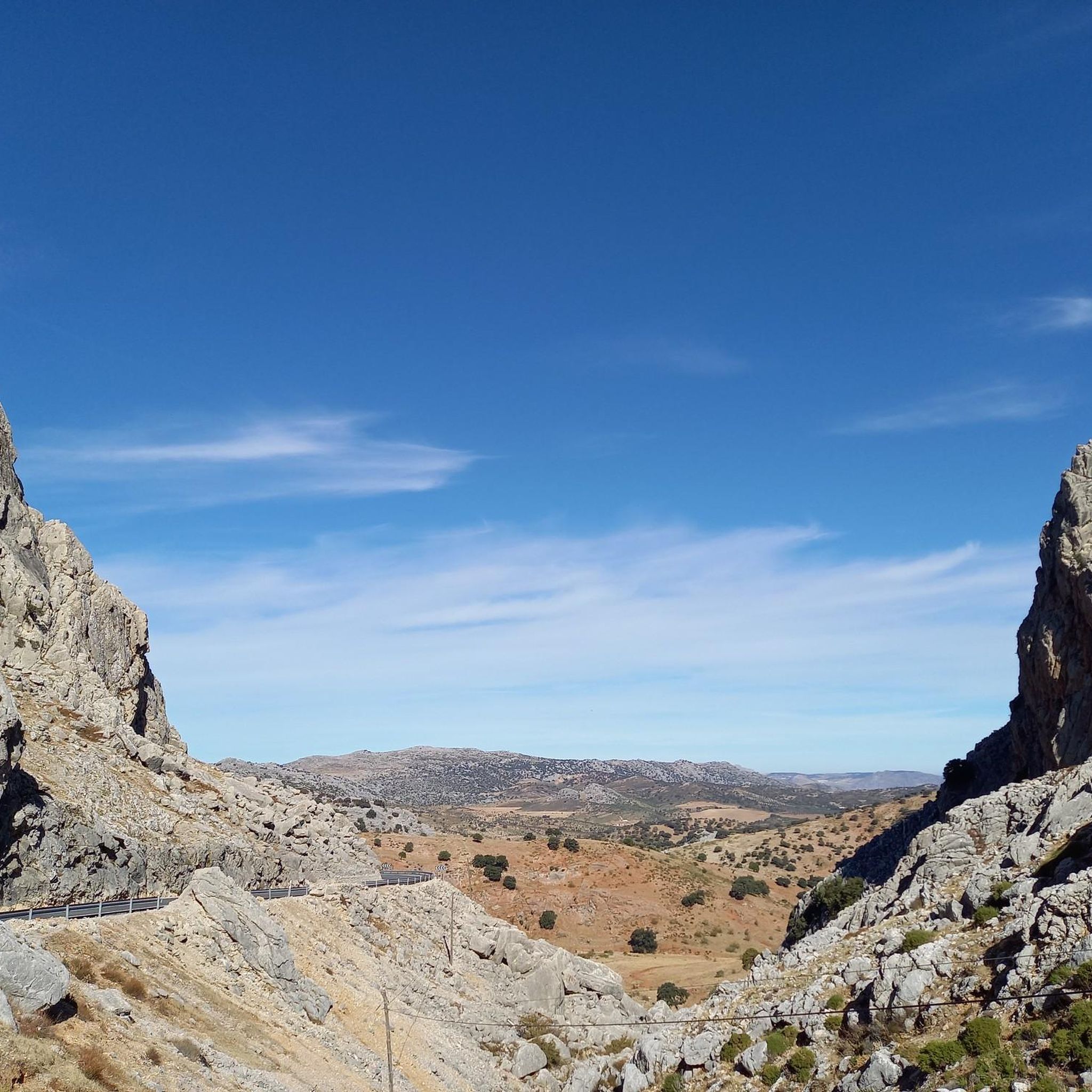
The mountainous terrain of Sierra Blanquilla offers numerous scenic vistas. A particularly notable visual highlight is found on the A-366 road connecting El Burgo to Ronda, where it passes through the "Hueco del Boquerón," a gorge with sheer limestone cliffs. The popular Mirador del Guarda Forestal is also along this route, providing excellent panoramic views. The region's unique calcareous geology itself forms dramatic scenery around every turn.
What do other road cyclists say about the routes in Sierra Blanquilla?
The road cycling routes in Sierra Blanquilla are highly regarded by the komoot community, holding an average rating of 5.0 stars from 3 reviews. Cyclists often praise the challenging climbs, the quiet, scenic roads, and the diverse landscapes that offer new views around every bend.
Are there any road cycling routes that connect to nearby towns like Ronda or El Burgo?
Yes, Sierra Blanquilla's strategic location between El Burgo and the historic town of Ronda means many routes integrate these charming towns. The A-366 road, which traverses or borders Sierra Blanquilla, is a well-traveled route that connects these areas, allowing for rides that combine natural beauty with cultural exploration. For instance, the Water fountain – Alozaina Arch loop from Yunquera offers a moderate ride through the surrounding area.
What is the typical duration for road cycling routes in Sierra Blanquilla?
The duration of road cycling routes in Sierra Blanquilla varies significantly based on their length and difficulty. For example, a moderate route like Water fountain – Alozaina Arch loop from Yunquera (41.9 km) typically takes around 2 hours 16 minutes. More challenging and longer routes, such as Wind Pass – View of El Burgo loop from El Burgo (107.0 km), can take over 6 hours to complete due to significant elevation gains.
Is Sierra Blanquilla suitable for family road cycling?
While Sierra Blanquilla is known for its challenging mountainous terrain, there are 2 easy road cycling routes available that might be more suitable for families or those looking for a less strenuous ride. However, the region's overall character leans towards more demanding climbs, so families should carefully review route profiles to ensure they match their skill and endurance levels.

Get inspired with the komoot mobile app


Explore more
Browse the best Road cycling routes in other regions.
