The best road cycling routes in Acantilados De Maro-Cerro Gordo
4.4
(283)
13,481
riders
67
rides
Road cycling routes in Acantilados De Maro-Cerro Gordo traverse a protected natural area characterized by towering coastal cliffs that meet the Mediterranean Sea. The region features a varied topography, including segments with elevation gain and coastal roads like parts of the EuroVelo 8. These routes offer views of the dramatic coastline and natural features, providing diverse experiences for road cyclists.
Best road cycling routes in Acantilados De Maro-Cerro Gordo
- The most popular road cycling route is Los Castillejos Climb loop…
Last updated: July 5, 2026
4.0
(5)
159
riders
Moderate road ride. Good fitness required. Mostly well-paved surfaces and easy to ride.
5.0
(2)
23
riders
Moderate road ride. Good fitness required. Mostly well-paved surfaces and easy to ride.

Sign up for free
23
riders
Moderate road ride. Good fitness required. Mostly well-paved surfaces and easy to ride.
5.0
(1)
18
riders
Moderate road ride. Good fitness required. Mostly well-paved surfaces and easy to ride.
3.0
(1)
189
riders
84.0km
04:15
1,270m
1,270m
Hard road ride. Very good fitness required. Mostly well-paved surfaces and easy to ride.
Get access to more routes and recommendations from other explorers.
Sign up for free
Already have an account?
Our route recommendations are based on thousands of hikes, rides, and runs completed by other people on komoot.
Start today with a free account
Your next adventure awaits.
Login or Signup

Tips from the Community

An approximately 11-kilometer-long mountain road leads through the beautiful valley of the Río de la Miel—with steep climbs in places. Even if you start on the coast in summer temperatures and sunshine, the weather can be completely different further down the valley. I've already had to cut the tour short twice—due to rain and strong winds—even though it was 30 degrees Celsius and bright sunshine on the coast.
1
0

The Puente del Águila, also known as the Acueducto del Águila, was built between 1879 and 1880 to transport water to the 'Las Mercedes' sugar factory in Maro. The structure stretches over the Barranco de la Coladilla and consists of four stories with a total of 37 arches in the Mudejar style. The most striking feature is the weather vane in the shape of a double-headed eagle, which gave it its name. It was commissioned by 'Francisco Cantarero Senio,' whose signature can still be seen in the aqueduct's central pavilion. During the Spanish Civil War, the structure was damaged by shells and restored in 2011. Today, the aqueduct continues to irrigate agricultural land in the surrounding area. Interestingly, the main elevation, visible from the road, is actually the rear of the structure—the original front faces north, as the old road lies on the other side.
2
0

This is a very beautiful climb. It's 11 kilometers long and adds 700 meters of elevation gain. There are some steep inclines, but it's generally manageable. There's usually very little traffic. There's a short gravel section. Enjoy the views!
1
0

Typical sign at the entrance to the town of La Herradura
0
0
La Herradura Castle, built in 1771 by order of Charles III, is a coastal fortification located in La Herradura, Granada. Originally, its function was to defend the coast from pirate and privateer raids. In 2021, the castle was restored and converted into the “1562 La Furia del Mar” Interpretation Centre, a museum that commemorates the tragic shipwreck of the Spanish Armada that occurred in the bay of La Herradura in 1562, where 25 of the 28 galleys sank, causing the death of nearly 5,000 people.
0
0
Best coffee shop in the area. Specialty coffee in a great cycling environment
0
0

The Aquädukt del Águila is a truly impressive structure. It was built in the 19th century (1879-1880) to transport water from the Barranco de Coladilla river to a sugar cane factory in the region. The structure impresses with its four-story arches in the Neo-Moorish style, reminiscent of Andalusian architecture. It remains a landmark of the region and a popular destination for visitors who wish to enjoy both the architecture and the views. Although the aqueduct is no longer used for its original purpose, it is an important example of the engineering of its time.
4
0

Frequently Asked Questions
How many road cycling routes are available in Acantilados De Maro-Cerro Gordo?
There are over 50 road cycling routes in Acantilados De Maro-Cerro Gordo, offering a diverse range of experiences. These routes are highly rated by the komoot community, with an average score of 4.3 stars from over 230 reviews.
What is the general difficulty level of road cycling routes in Acantilados De Maro-Cerro Gordo?
The routes in Acantilados De Maro-Cerro Gordo cater to various skill levels. You'll find a good mix, with 11 easy routes, 27 moderate routes, and 21 difficult routes. The terrain often includes significant elevation gain, especially on routes like Los Castillejos Climb loop from Paraje Natural Acantilados de Maro-Cerro Gordo.
Are there any family-friendly road cycling routes in Acantilados De Maro-Cerro Gordo?
While the region is known for its varied topography and elevation changes, some of the easier routes might be suitable for families with older children or those comfortable with some climbs. Always check the route details, including distance and elevation, to ensure it matches your family's ability.
What kind of landscapes and natural features will I see while road cycling here?
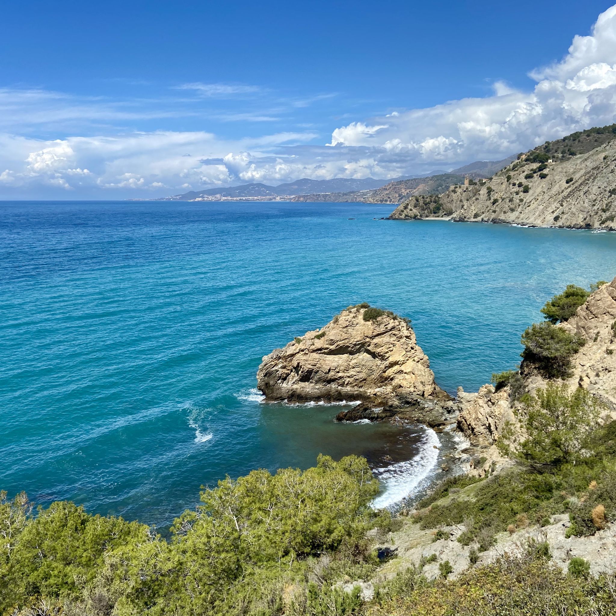
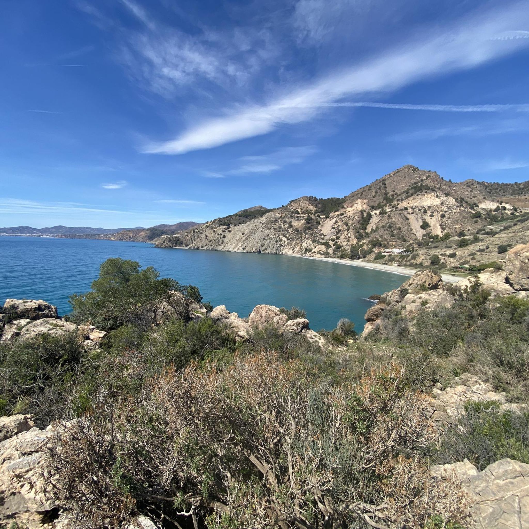
You'll experience breathtaking coastal scenery with towering cliffs plunging into the Mediterranean Sea. The routes often feature lush thermo-Mediterranean vegetation, including pines, carob trees, and junipers. Keep an eye out for historical elements like ancient watchtowers and, if you're lucky, wild mountain goats (Iberian Ibex) navigating the rocky terrain.
What landmarks or viewpoints can I expect to see along the road cycling routes?
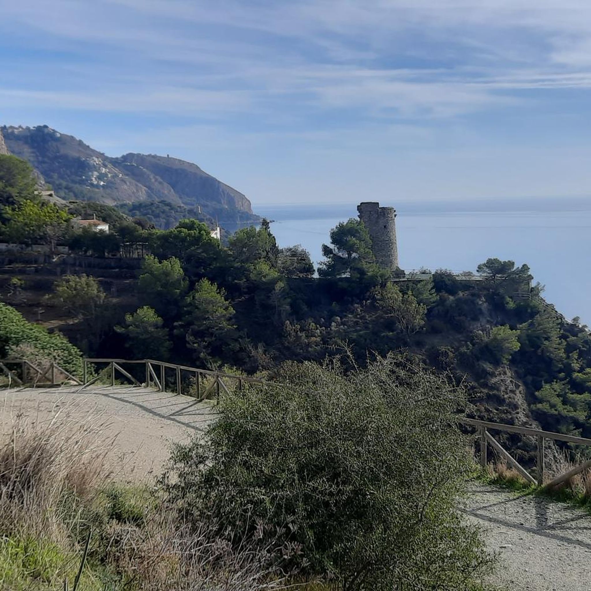
Road cycling routes in Acantilados De Maro-Cerro Gordo offer numerous scenic viewpoints. You might pass by historical watchtowers like the Torre de Maro. Specific highlights include Cantarrijan Viewpoint, offering stunning panoramic views of the coastline. Many routes also provide glimpses of secluded coves and beaches such as Cala del Pino or Cantarriján Beach.
When is the best time of year to go road cycling in Acantilados De Maro-Cerro Gordo?
The region generally enjoys a mild Mediterranean climate, making it suitable for cycling for much of the year. Spring and autumn offer pleasant temperatures, ideal for longer rides. Summers can be hot, so early morning or late afternoon rides are recommended during those months.
Are there any circular road cycling routes in Acantilados De Maro-Cerro Gordo?
Yes, many routes in the area are designed as loops, allowing you to start and finish at the same point. For example, the El Peñoncillo Viewpoint – N-340 quiet & fast coast road loop from La Herradura is a popular circular route covering 61.2 km.
Are there places to stop for refreshments or food along the road cycling routes?
The towns of Maro, Nerja, and La Herradura, which are often starting points or pass-through areas for routes, offer various cafes, restaurants, and bars. While specific rest stops directly on every route might vary, you'll find opportunities for refreshments in these nearby communities.
Is parking available for road cyclists in Acantilados De Maro-Cerro Gordo?
Parking is generally available in the towns and villages bordering the natural park, such as Maro, Nerja, and La Herradura. Many routes start from these locations, making it convenient to park your vehicle before heading out on your ride.
How accessible is Acantilados De Maro-Cerro Gordo by public transport for cyclists?
Public transport options, such as local buses, connect the towns around the natural park. However, carrying bicycles on public transport can sometimes be restricted or require specific conditions. It's advisable to check with local transport providers for their policies regarding bicycles before planning your trip.
Are permits required for road cycling in Acantilados De Maro-Cerro Gordo Natural Park?
Generally, no specific permits are required for road cycling on the public roads within the Acantilados De Maro-Cerro Gordo Natural Park. However, always respect protected areas and follow any local regulations or signage, especially if venturing off main roads.
What do other road cyclists enjoy most about road cycling in Acantilados De Maro-Cerro Gordo?
The area is highly rated by the komoot community, with an average score of 4.3 stars. Reviewers often praise the stunning coastal views, the varied topography that offers both challenging climbs and rewarding descents, and the relatively untouched nature of this beautiful stretch of the Mediterranean.
Most popular routes in Acantilados De Maro-Cerro Gordo
Most popular attractions in Acantilados De Maro-Cerro Gordo

Get inspired with the komoot mobile app


Explore more
Browse the best Road cycling routes in other regions.
