The best walks and hikes in Cabo De Gata-Níjar
4.5
(2526)
10,264
hikers
223
hikes
Hiking in Cabo De Gata-Níjar offers routes through a unique landscape characterized by ancient volcanic rock formations, jagged cliffs, and unspoiled white-sand beaches. The region features a dramatic coastline with secluded coves and a semi-desert hinterland. Trails often traverse the Sierra del Cabo de Gata mountain range, revealing its distinctive geology. This UNESCO Global Geopark provides diverse terrain for outdoor activities.
Best hiking trails in Cabo De Gata-Níjar
- The most popular hiking route is Natural Park of Cabo de Gata – Castle of San Pedro from Las Negras, a 6.5 miles (10.5 km) trail that takes 3 hours 13 minutes to complete. This moderate route leads to the historic Castle of San Pedro, offering coastal views.
- Another top favourite among local hikers is Morrón de los Genoveses Loop Trail, a moderate 5.7 miles (9.2 km) path. This loop provides panoramic views of the Genoveses beach area and surrounding arid hills.
- Local hikers also love the Senda Azul de Cabo de Gata Trail, a 10.3 miles (16.6 km) trail leading through volcanic landscapes and coves, often completed in about 4 hours 38 minutes.
- Hiking in Cabo De Gata-Níjar is defined by volcanic formations, coastal paths, and semi-desert terrain. The network offers options for different ability levels, from easy strolls to more challenging routes.
- The routes in Cabo De Gata-Níjar are highly rated by the komoot community with an average score of 4.5 stars from over 1700 reviews. More than 7600 hikers have used komoot to explore Cabo De Gata-Níjar's varied terrain.
Last updated: July 7, 2026
4.6
(161)
584
hikers
10.5km
03:13
210m
210m
Moderate hike. Good fitness required. Mostly accessible paths. Sure-footedness required.
4.6
(92)
278
hikers
9.19km
02:32
130m
130m
Moderate hike. Good fitness required. Mostly accessible paths. Sure-footedness required.

Sign up for free
4.6
(39)
178
hikers
16.6km
04:39
310m
310m
Moderate hike. Good fitness required. Mostly accessible paths. Sure-footedness required.
4.7
(56)
160
hikers
Moderate hike. Good fitness required. Easily-accessible paths. Suitable for all skill levels.
4.5
(26)
106
hikers
8.28km
02:26
230m
230m
Moderate hike. Good fitness required. Easily-accessible paths. Suitable for all skill levels.
Get access to more routes and recommendations from other explorers.
Sign up for free
Already have an account?
Our route recommendations are based on thousands of hikes, rides, and runs completed by other people on komoot.
Start today with a free account
Your next adventure awaits.
Login or Signup
Popular around Cabo De Gata-Níjar
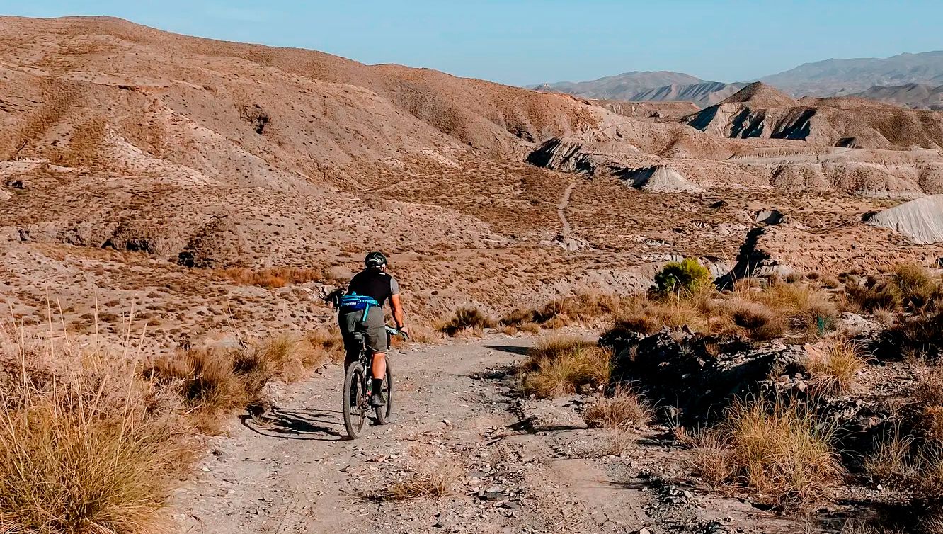
TransAlmería Gravel – Summits, dry riverbeds and deserts
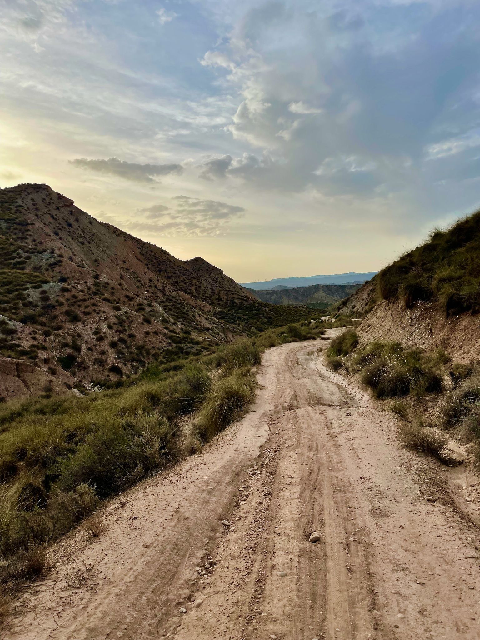
Badlands 2021 — 750km of gravel in the Spanish deserts

On the road to the sun — bikepacking to southeast Spain
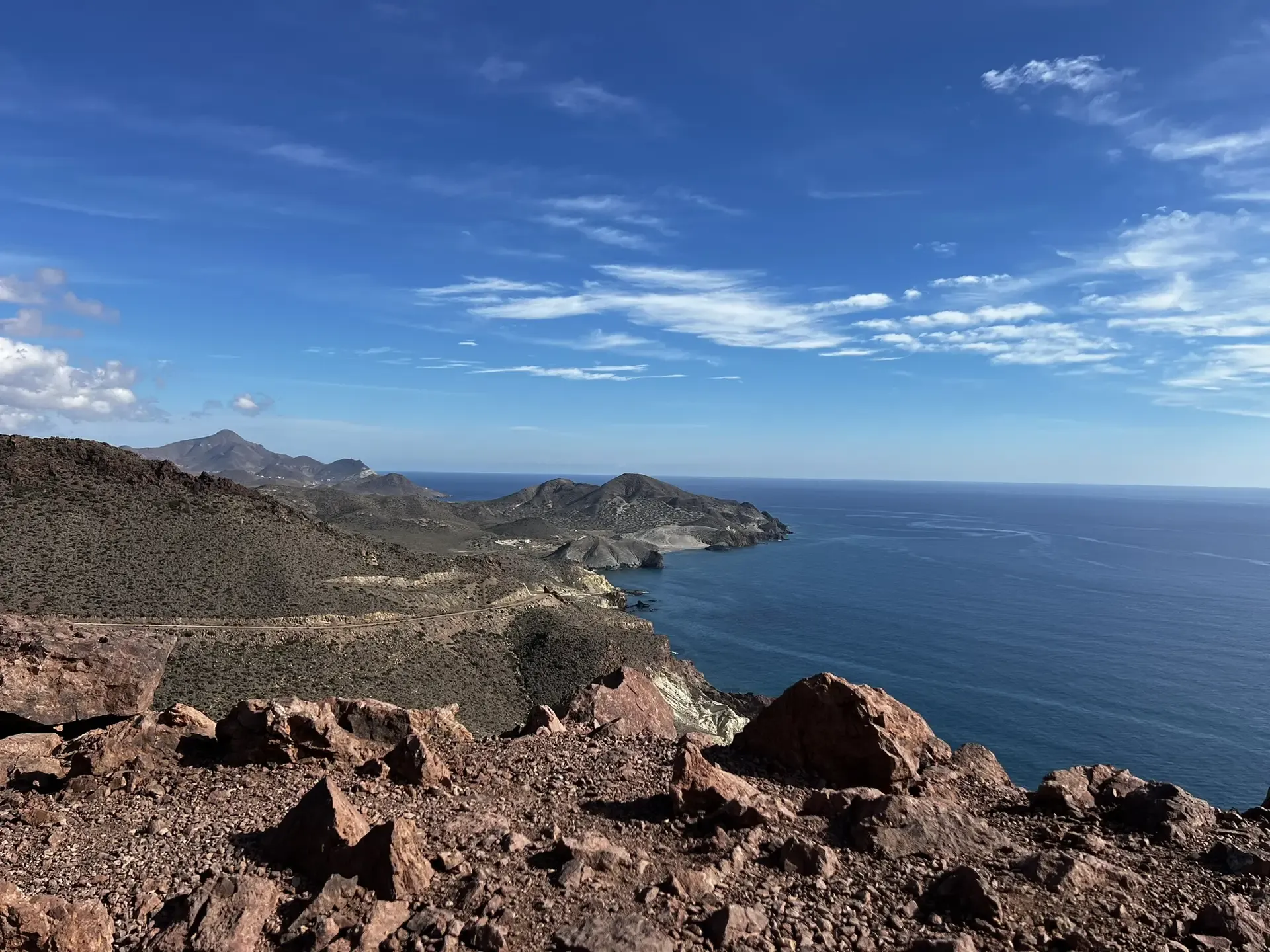
The Wild Side Of Almería — Transalmería By Mountain Bike
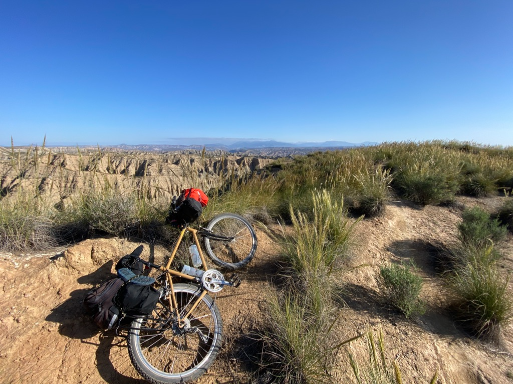
Mountain, Desert and Sea — Andalusian Trilogy
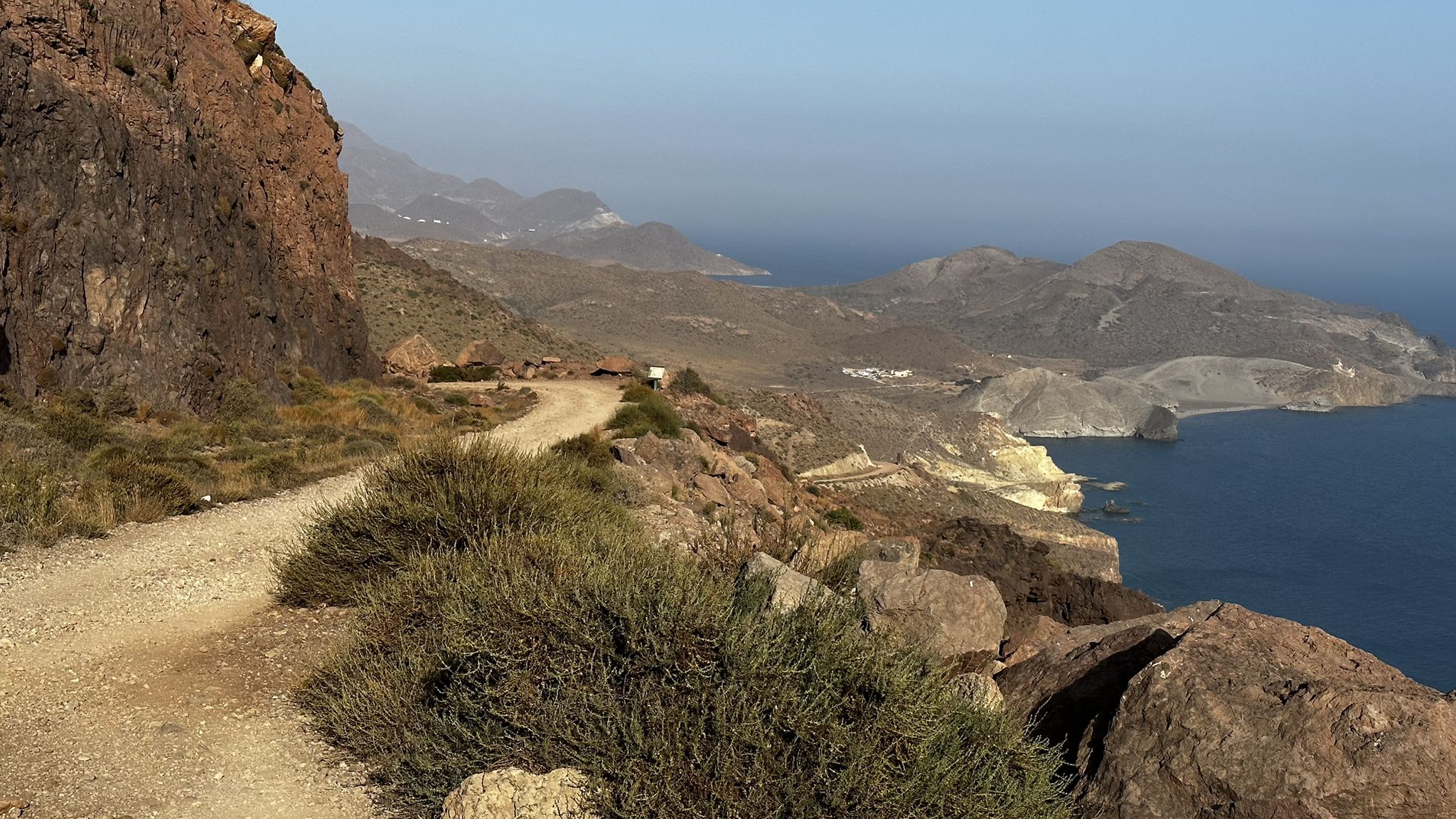
Beaches and desert – TransAlmería by MTB (El Levante)
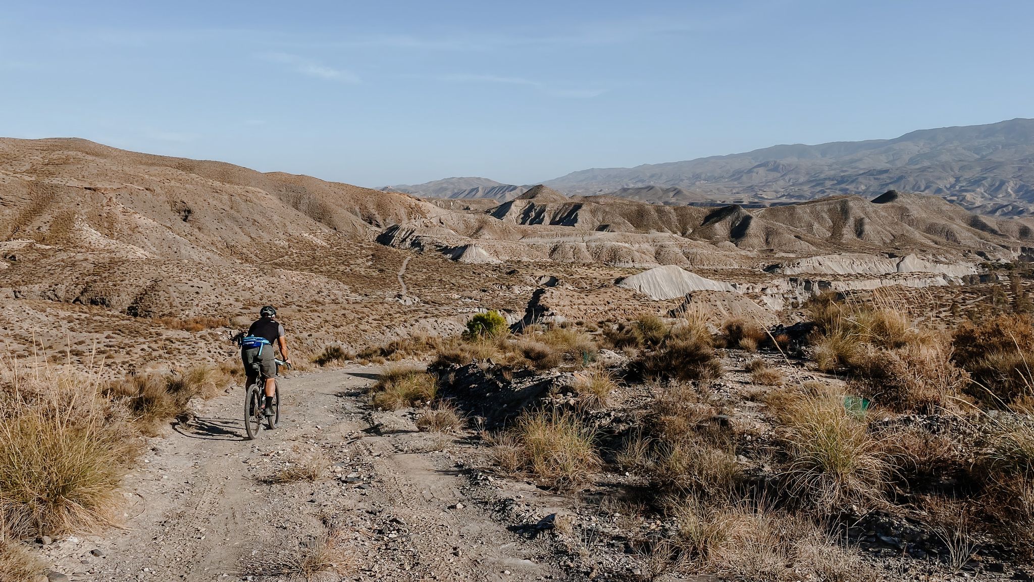
High mountains, desert and sea – an adventure of contrasts in Andalusia
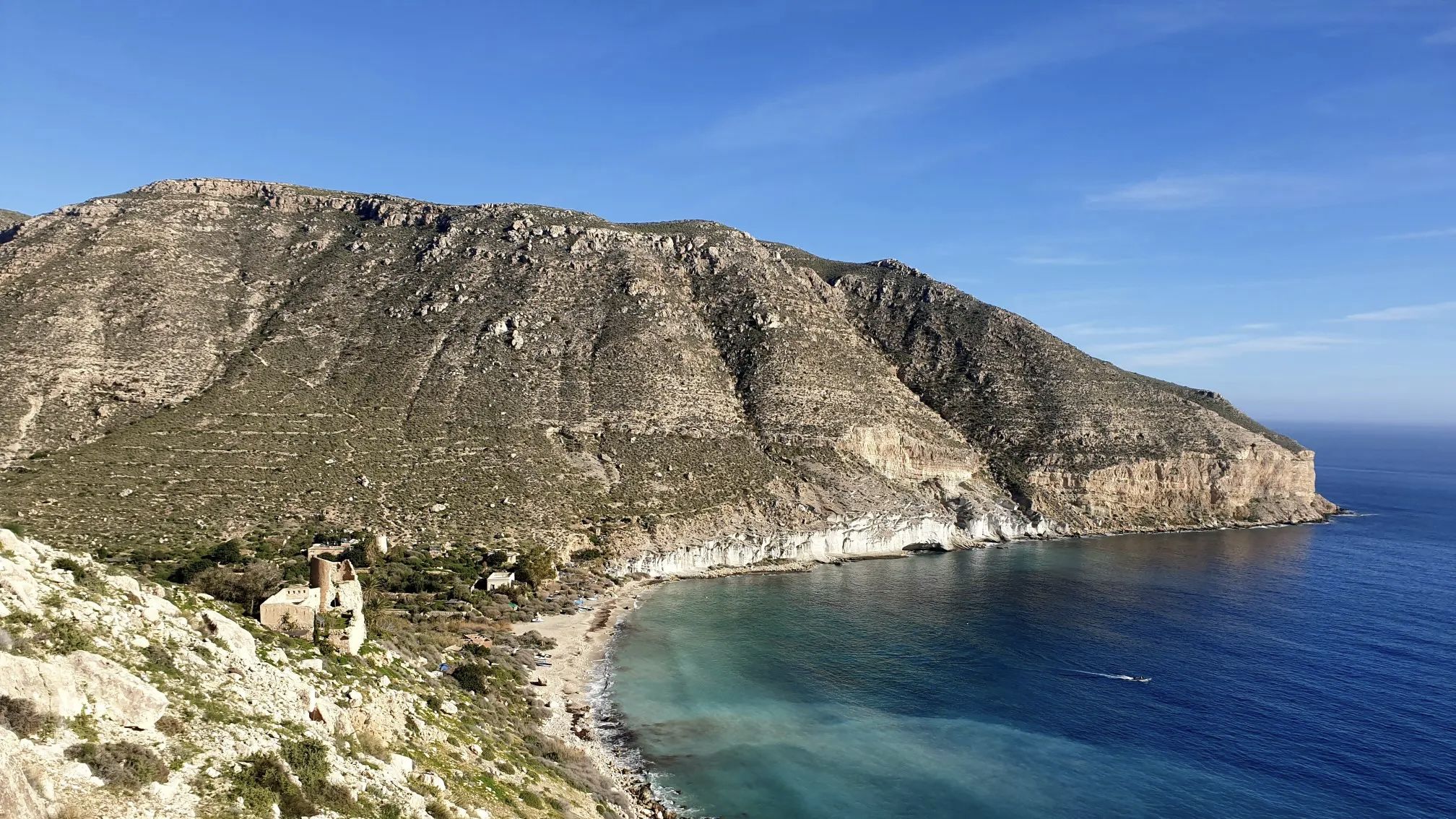
A bike ride that’s like a movie – Natural Park of Cabo de Gata-Níjar

Let’s head south – cycle in Andalusia with me and my dog

Wild and free Andalusia – Transandalus through the interior
Other adventures in Cabo De Gata-Níjar


Tips from the Community

A delight of views from here.
2
0
A few meters from the Las Sirenas viewpoint.
0
0

The reef formations that rise above the water are ancient volcanic chimneys, and their dark color comes from the material they expelled. From the lookout, you can see the area's steep cliffs, and below, the water surrounding the reef is crystal clear, allowing you to admire the mosaic of the seabed, which colors the sea with turquoise, green, and all shades of blue.
13
1
It's located right at the easternmost point of southern Spain. The place likely owes its name to the monk seals that once inhabited this reef, which ancient sailors may have mistaken for mermaids; these mammals no longer live on the coast of Cabo de Gata. (And unfortunately, I didn't see any mermaids either...)
14
0

Wear booties. Rocky trail, and bring back any trash you generate. It weighs less than when you wear it.
2
0

The Molino de los Genoveses, also known as the Molino del Collado de los Genoveses, is a prominent ethnographic site located in the Cabo de Gata-Níjar Natural Park, near the famous Playa de los Genoveses. This windmill was traditionally used to grind grains such as wheat, barley, and corn, reflecting the cereal-producing nature of the area. Its construction fits the typical typology of the park: a truncated cone tower made of masonry and lime, divided into three sections. It was renovated in 2007 and is now a point of interest on the Los Genoveses trail.
8
0

The Cerro del Cinto trail (short version) goes around a hill that gives an overwhelming impression due to the number of holes that were created during the time of gold prospecting. The route, which takes you through the mining landscape of this natural area, shows you the remains of mines, abandoned gold mines and a village, Rodalquilar, a district of Níjar and the center of the mining sector. Route: 6 or 12 km round trip
1
0
From the old gold mining village of Rodalquilar, 2 walks depart through the Cabo de gata along the remains of the gold rush that took place around 1833. You have a walk of about 6 km and one of 12 km. From the museum, follow the signs with "Cabo de gata" with each time the number of distance to be covered.
0
0
Frequently Asked Questions
How many hiking trails are available in Cabo De Gata-Níjar?
There are over 230 hiking routes in Cabo De Gata-Níjar, offering a wide range of options from easy strolls to more challenging treks. You'll find trails suitable for all fitness levels, exploring the park's unique volcanic landscapes and stunning coastline.
What are the different difficulty levels for hiking in Cabo De Gata-Níjar?
Cabo De Gata-Níjar offers a diverse range of hiking difficulties. You can find approximately 96 easy routes, 109 moderate trails, and 28 more challenging hikes. This variety ensures there's a suitable path for every hiker, from beginners to experienced trekkers.
What is the best time of year to go hiking in Cabo De Gata-Níjar?
The best time for hiking in Cabo De Gata-Níjar is typically during the spring (March to May) and autumn (September to November). During these seasons, temperatures are milder and more comfortable for outdoor activities. Summer can be very hot, making early morning or late afternoon hikes preferable, while winter offers pleasant conditions with fewer crowds.
Are there any family-friendly hiking trails in Cabo De Gata-Níjar?
Yes, Cabo De Gata-Níjar has several family-friendly options. Many of the easier coastal paths and shorter inland routes are suitable for families. These trails often feature relatively flat terrain and offer opportunities to enjoy the beaches and natural scenery without excessive difficulty. For example, the path leading to Playa de los Genoveses is generally accessible.
Can I bring my dog on the hiking trails in Cabo De Gata-Níjar?
Many trails in Cabo De Gata-Níjar are dog-friendly, especially during the off-peak season. However, it's always recommended to keep your dog on a leash to protect the local wildlife and ensure their safety, particularly in a natural park setting. Be sure to check specific trail regulations, as some protected areas or beaches might have restrictions, especially during nesting seasons.
Are there any circular hiking routes in Cabo De Gata-Níjar?
Yes, there are several excellent circular hiking routes in Cabo De Gata-Níjar. One notable option is the Natural Park of Cabo de Gata – circular from Rodalquilar via Cerro del Cinto and the Gold Mines, which combines natural beauty with historical exploration. Another popular choice is the Morrón de los Genoveses Loop Trail, offering panoramic coastal views.
What kind of natural features and landmarks can I expect to see while hiking?
Hiking in Cabo De Gata-Níjar offers a chance to explore a unique volcanic landscape. You'll encounter dramatic cliffs, secluded coves, and pristine beaches like Los Genoveses Beach and Mónsul Beach. Key landmarks include the iconic Cabo de Gata lighthouse, the Mirador de Las Sirenas, and historical sites such as the San Miguel Tower and the abandoned gold mines of Rodalquilar.
Are there opportunities for wildlife spotting during hikes?
Absolutely. Cabo De Gata-Níjar is a UNESCO Biosphere Reserve, making it excellent for wildlife spotting. The Salinas de Cabo de Gata are a crucial habitat for migratory birds, including flamingos, especially during summer. Along coastal trails, you might spot various marine birds, and the arid inland areas host unique flora and fauna adapted to the semi-desert environment.
Where can I find parking for hiking trails in Cabo De Gata-Níjar?
Parking is generally available near popular trailheads and villages such as San José and Las Negras. However, during peak season, access to some popular beaches and trail starting points, like those near Genoveses or Mónsul, might be restricted, requiring visitors to use designated parking areas further away and sometimes shuttle services. It's advisable to arrive early or check local regulations.
What do other hikers enjoy most about hiking in Cabo De Gata-Níjar?
The komoot community highly rates hiking in Cabo De Gata-Níjar, with an average score of 4.5 stars from over 1700 reviews. Hikers frequently praise the stunning coastal views, the unique volcanic landscapes, and the sense of wild, unspoiled nature. The variety of trails, from easy beach walks to more challenging climbs, is also a highlight for many.
Are there any trails that lead to wild swimming spots or secluded coves?
Yes, many coastal trails in Cabo De Gata-Níjar lead to beautiful, secluded coves perfect for wild swimming. The park is renowned for its pristine, crystal-clear waters. Trails often pass by hidden gems like Cala Chica del Barronal or Cala de los Amarillos, offering opportunities to take a refreshing dip in the Mediterranean after your hike.
What should I wear or bring for hiking in Cabo De Gata-Níjar?
Given the semi-desert climate, it's crucial to bring plenty of water, especially during warmer months. Wear comfortable, sturdy hiking shoes suitable for varied terrain, including rocky paths and sandy stretches. Sun protection, such as a hat, sunglasses, and sunscreen, is essential. Layered clothing is recommended for cooler mornings or evenings, and a light jacket can be useful even in spring or autumn.
Most popular routes in Cabo De Gata-Níjar
Most popular attractions in Cabo De Gata-Níjar

Get inspired with the komoot mobile app


Explore more
Browse the best Hikes in other regions.
