The best cycling routes in Saja-Besaya
4.5
(96)
1,816
riders
145
rides
Touring cycling in Saja-Besaya offers routes through the largest contiguous deciduous forest in the Cantabrian mountain range, featuring ancient beech and oak groves. The region is characterized by varied mountainous terrain with rounded shapes, increasing in elevation towards the Cantabrian Mountain Range. The Saja and Besaya river valleys carve through the landscape, providing picturesque routes along riverbeds and through high-altitude pastures. This diverse environment supports a range of cycling experiences.
Best touring cycling routes in Saja-Besaya
- The most popular touring…
Last updated: June 30, 2026
2
riders
15.6km
01:40
390m
390m
Hard bike ride. Good fitness required. You may need to push your bike for some segments of this route.
6
riders
13.6km
01:32
430m
430m
Moderate bike ride. Good fitness required. Mostly paved surfaces. Suitable for all skill levels.

Sign up for free
6
riders
21.6km
02:13
460m
460m
Hard bike ride. Very good fitness required. Mostly paved surfaces. Suitable for all skill levels.
3.0
(1)
6
riders
Hard bike ride. Very good fitness required. Mostly paved surfaces. Suitable for all skill levels.
58
riders
51.4km
04:38
1,290m
1,290m
Hard bike ride. Very good fitness required. You may need to push your bike for some segments of this route.
Get access to more routes and recommendations from other explorers.
Sign up for free
Already have an account?
Our route recommendations are based on thousands of hikes, rides, and runs completed by other people on komoot.
Start today with a free account
Your next adventure awaits.
Login or Signup


Other adventures in Saja-Besaya

Tips from the Community

Added to the collection: komoot.com/de-de/collection/3600632/-naturdenkmaeler-besondere-baeume-und-weitere-schaetze-der-natur
0
0
Added to the collection: komoot.com/de-de/collection/3600632/-naturdenkmaeler-besondere-baeume-und-weitere-schaetze-der-natur
0
0

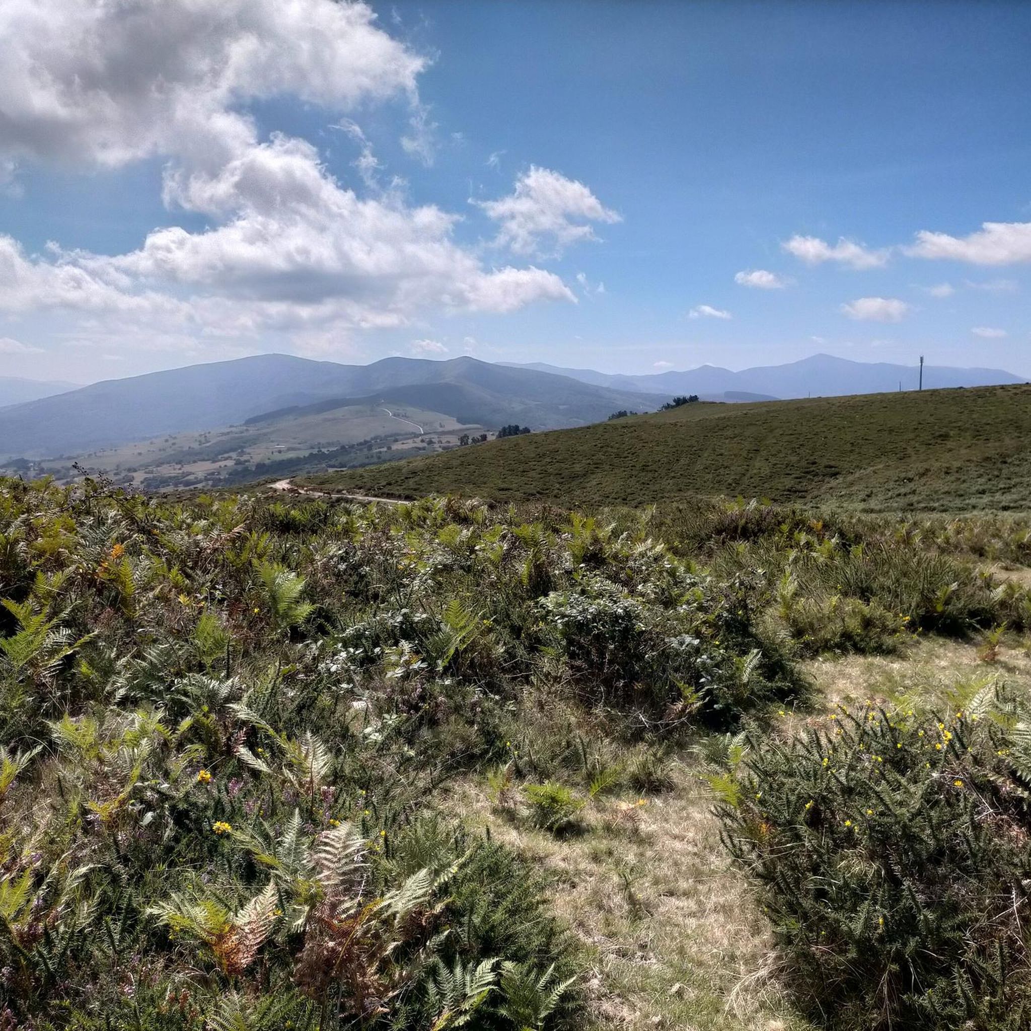
After a beautiful gravel climb, you reach this plateau with stunning views (including the Picos de Europa in the distance). The path then continues for a long time at altitude, with many cows and horses. Take a look: https://www.youtube.com/watch?v=OgEcgF17RDw
0
0
Indeed, a beautiful spot with breathtaking views, both towards the Picos de Europa and other Cantabrian mountains. The (gravel) road there is also stunning; just take a look: https://www.youtube.com/watch?v=OgEcgF17RDw
0
0

And it's also the starting point for a ton of really cool routes.
2
0

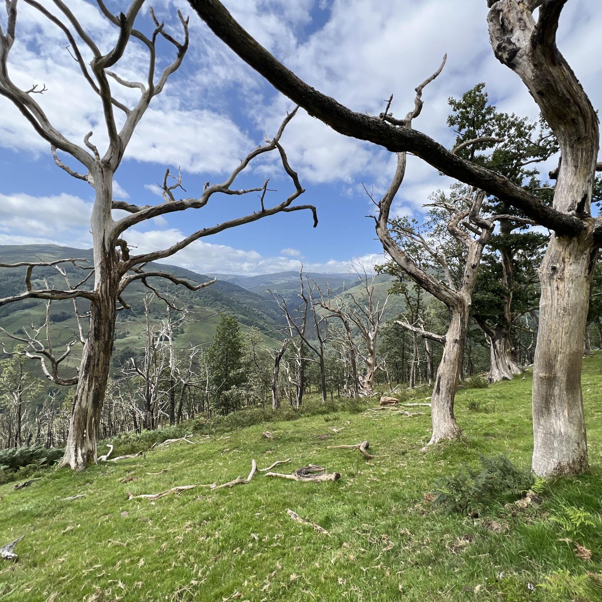
The Bujilices "Tumbao" Oak, located in Ucieda (Ruente) within the Saja-Besaya Natural Park, is one of Cantabria's most unique and magical trees. The tree fell under the weight of snow and wind at the end of the 19th century, but it didn't die. Four vertical branches sprouted from the fallen trunk, developing as if they were independent trees, creating a unique and spectacular shape.
2
0

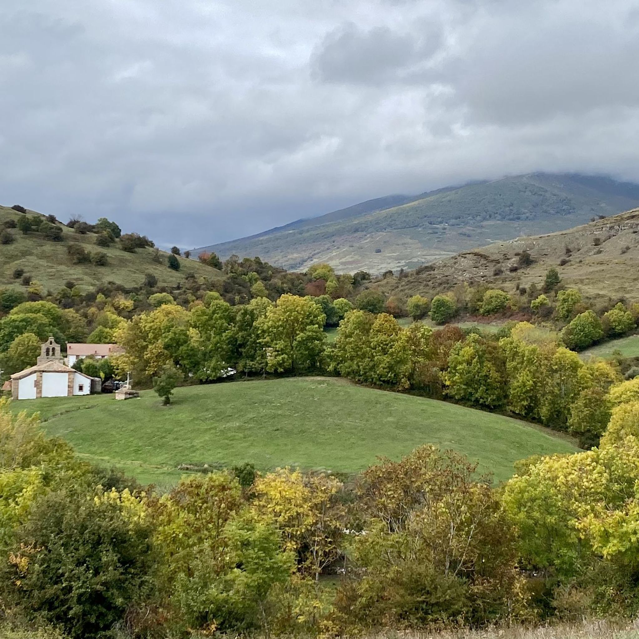
Beautiful little chapel located in an incredible place with beautiful views.
0
0
Frequently Asked Questions
How many touring cycling routes are available in Saja-Besaya?
Saja-Besaya offers a wide selection of touring cycling routes, with over 140 options available. These routes cater to various skill levels, ensuring there's something for everyone.
What are the difficulty levels of touring cycling routes in Saja-Besaya?
The routes in Saja-Besaya range from easy to difficult. You'll find approximately 6 easy routes, 28 moderate routes, and over 110 difficult routes, many of which involve significant elevation gain through the mountainous terrain.
Are there any circular touring cycling routes in Saja-Besaya?
Yes, Saja-Besaya features several excellent circular routes. A popular option is the Bárcena Mayor – Poza Negra loop from Parque Natural Saja-Besaya, which takes you through the Natural Park and past the traditional town of Bárcena Mayor.
Are there easy touring cycling routes suitable for beginners or families?
While many routes are challenging, there are some easier options. Look for routes with minimal elevation gain that follow riverbeds, such as sections of the Besaya Greenway, though specific easy routes are not detailed in the provided data. Always check the route profile for elevation before you go.
Where can I find challenging touring cycling routes for experienced cyclists?
Experienced cyclists will find plenty of challenging routes in Saja-Besaya, with over 110 difficult options. Routes like the Casa del Monte de Ucieda – Ermita del Moral loop from Los Tojos offer significant climbs and descents, traversing varied mountainous terrain.
What do other touring cyclists say about the routes in Saja-Besaya?
The touring cycling routes in Saja-Besaya are highly rated by the komoot community, with an average score of 4.5 stars from over 90 reviews. More than 1,800 touring cyclists have explored the region, often praising the dense forests, winding riverbeds, and picturesque high-altitude pastures.
What kind of natural landscapes can I expect to see while cycling in Saja-Besaya?
Saja-Besaya is renowned for its diverse natural beauty. You'll cycle through the largest contiguous deciduous forest in the Cantabrian mountain range, featuring ancient beech and oak groves. Routes often follow the Saja and Besaya river valleys, passing through high-altitude pastures and offering views of rounded mountainous terrain.
Are there any notable attractions or viewpoints along the cycling routes?
Yes, the region offers several points of interest. You might encounter the traditional mountain town of Bárcena Mayor, or scenic spots like the El Moral Plateau. The Beautiful section through the beech forest is also a highlight for many cyclists.
Where can I park my car when cycling in Saja-Besaya?
Parking is generally available at popular starting points for routes. For instance, Bárcena Mayor, a well-known traditional town within the park, serves as a common starting or returning point and offers parking facilities for visitors.
Is public transport available to access the cycling trails in Saja-Besaya?
While specific public transport options for cyclists are not detailed, the Casa del Monte visitor center in Ucieda acts as a gateway to the park and can provide local information on accessibility. It's advisable to check local transport schedules if you plan to use public transport to reach trailheads.
What is the best time of year to cycle in Saja-Besaya?
The region's climate is influenced by its mountainous terrain. Generally, spring and autumn offer pleasant temperatures and vibrant scenery, with the deciduous forests being particularly stunning in autumn. Summer can also be good, but be prepared for warmer weather, especially at lower elevations.
Are dogs allowed on the bike trails in Saja-Besaya Natural Park?
While the Saja-Besaya Natural Park is a natural area, specific rules regarding dogs on bike trails are not detailed. It's generally recommended to keep dogs on a leash in natural parks to protect wildlife and ensure the safety of other users. Always check local regulations before bringing your dog.
Most popular routes in Saja-Besaya
Most popular attractions in Saja-Besaya

Get inspired with the komoot mobile app


Explore more
Browse the best Cycling routes in other regions.
