The best road cycling routes in Saja-Besaya
4.6
(53)
3,263
riders
95
rides
Road cycling routes in Saja-Besaya traverse a diverse landscape characterized by significant elevation changes, from valley floors around 200 meters to peaks exceeding 2,100 meters. The region features dense Atlantic forests, expansive mountain meadows, and deep valleys carved by the Saja and Besaya rivers. Limestone cliffs and unique geological formations add to the varied terrain, offering a range of gradients for road cyclists.
Best road cycling routes in Saja-Besaya
- The most popular road cycling route is Stone Fountain – Santibáñez…
Last updated: July 3, 2026
80
riders
Moderate road ride. Good fitness required. Mostly well-paved surfaces and easy to ride.
4.5
(2)
133
riders
83.4km
04:43
1,890m
1,890m
Hard road ride. Very good fitness required. Some segments of this route may be unpaved and difficult to ride.

Sign up for free
48
riders
37.5km
02:02
760m
760m
Moderate road ride. Good fitness required. Some segments of this route may be unpaved and difficult to ride.
27
riders
Hard road ride. Very good fitness required. Mostly well-paved surfaces and easy to ride.
18
riders
69.0km
03:18
800m
800m
Moderate road ride. Good fitness required. Some segments of this route may be unpaved and difficult to ride.
Get access to more routes and recommendations from other explorers.
Sign up for free
Already have an account?
Our route recommendations are based on thousands of hikes, rides, and runs completed by other people on komoot.
Start today with a free account
Your next adventure awaits.
Login or Signup

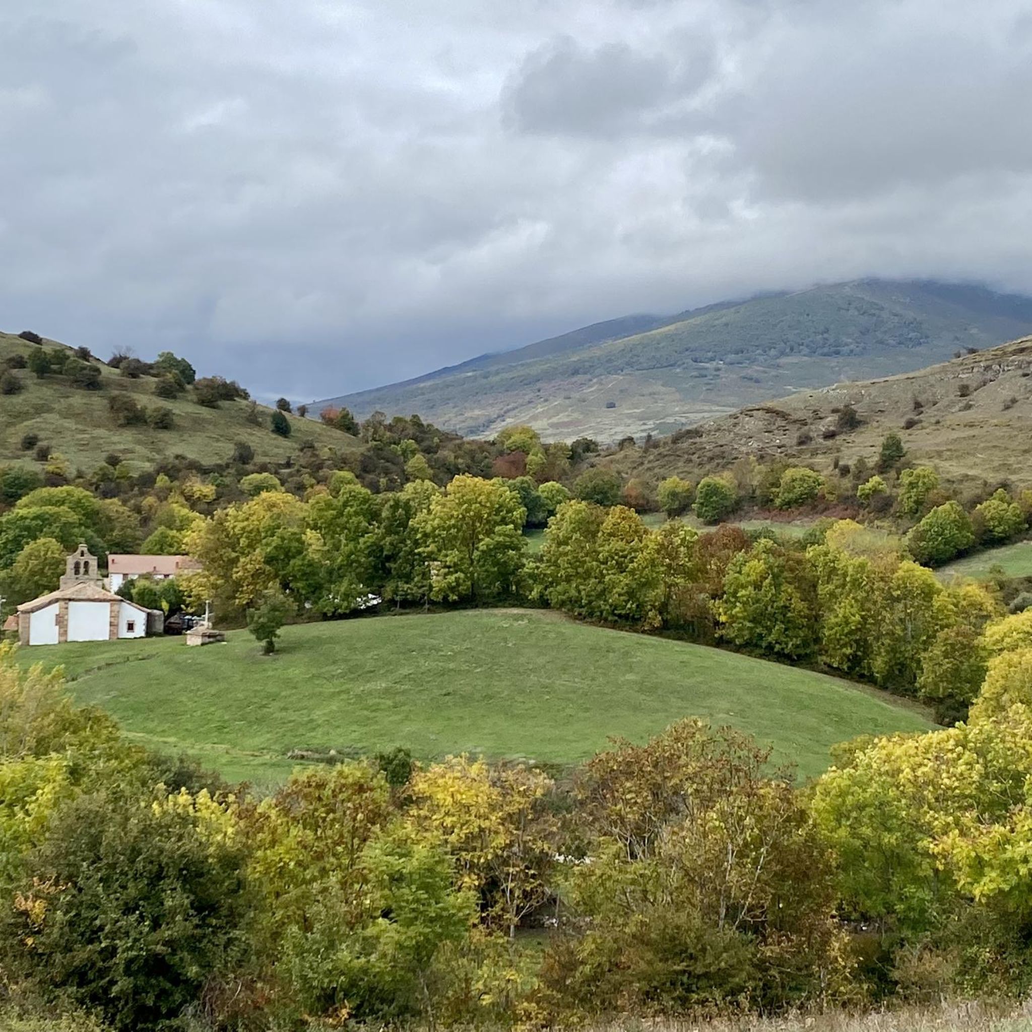
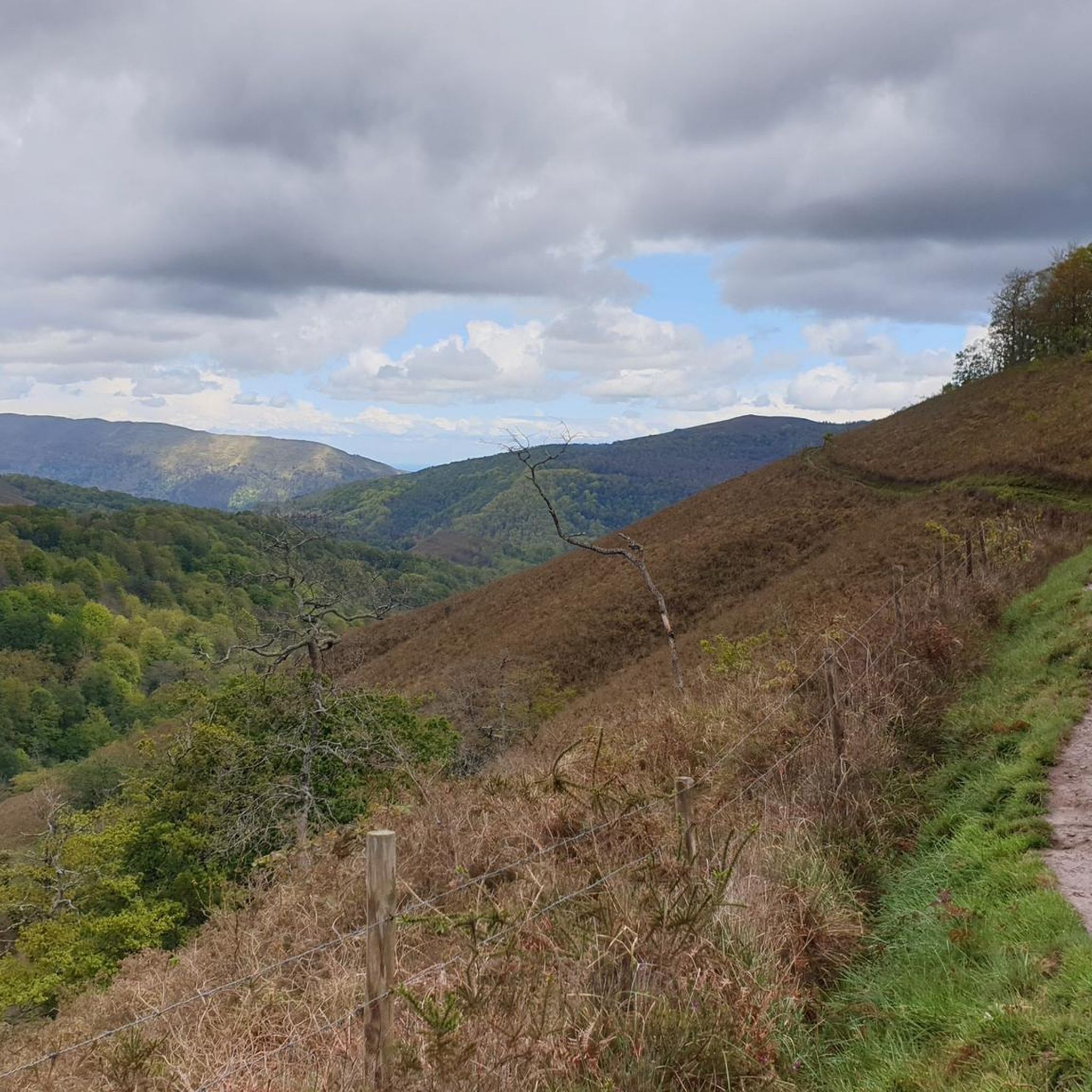
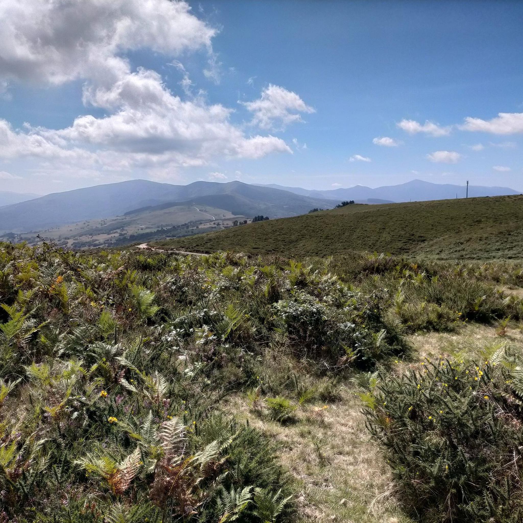
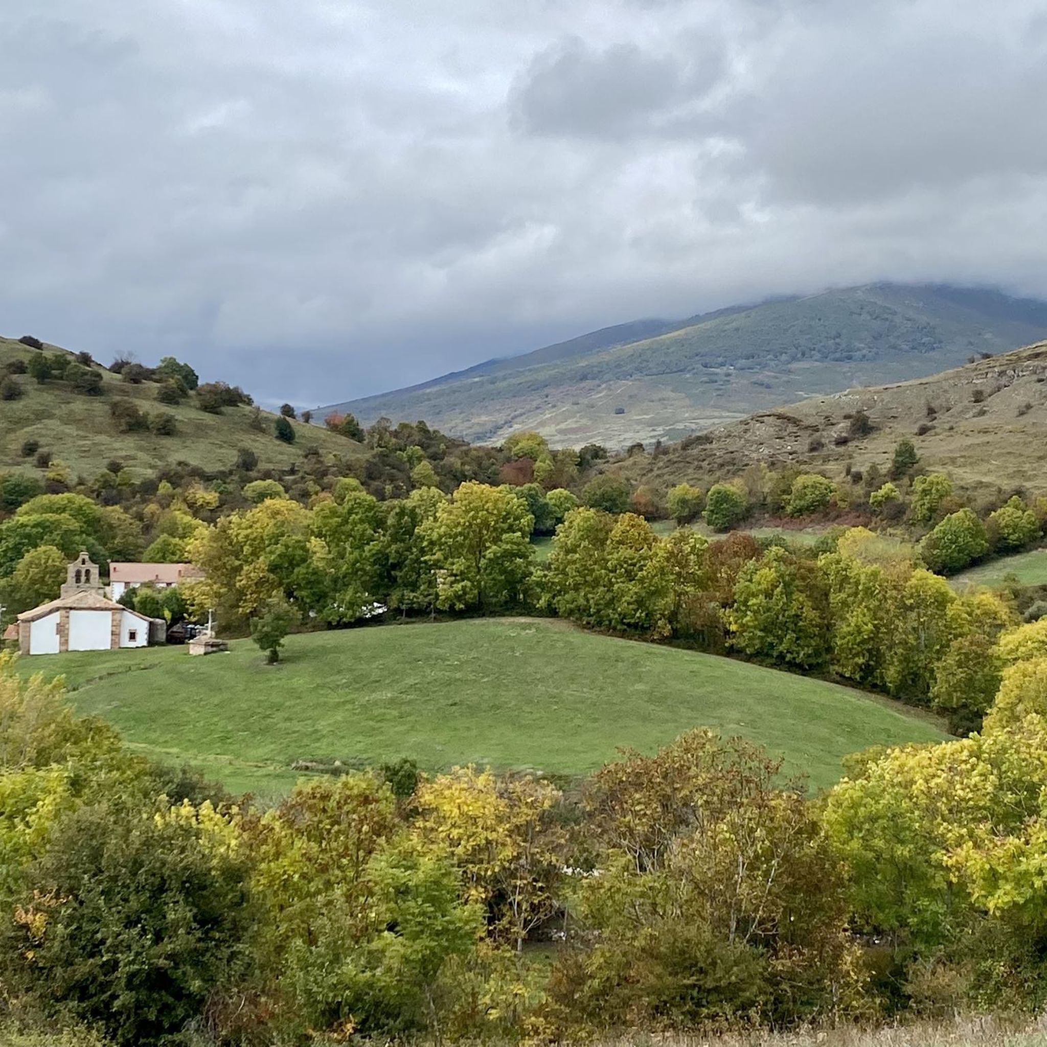

Other adventures in Saja-Besaya

Tips from the Community

We set out with the hope of ascending to the summit of Tresmares, where the Hijar-Ebro River begins and flows into the Mediterranean, the Pisuerga River (a tributary of the Duero River) flows into the Atlantic, and the Nansa River flows into the Cantabrian Sea. But a thick, damp fog covering the landscape forced us to give up and head back down the same way we came up. The road is partially covered by a bike lane and very little traffic. A steady climb of around 10%. Absolutely recommended. A few years ago, the Alto Campoo pass was the final stage of La Vuelta a España.
0
0
Officially, it's the source of the Ebro River, in Fontibre. However, according to what we were told at the tourist office, the waters of the spring pools come underground from the Hijar River, which rises in Alto Campoo. Specifically, in Tresmares, where the Hijar-Ebro begins, flowing into the Mediterranean; the Pisuerga (a tributary of the Duero) flows into the Atlantic; and the Nansa flows into the Cantabrian Sea.
0
0

The Collada de Carmona is a mountain pass in the Cantabrian mountain range located in western Cantabria.[1] It rises to 601 m above sea level and links the towns of Valle to the east and Carmona to the west, both belonging to the municipality of Cabuérniga.
0
0

Interesting to visit, if you are in the area.
3
0

Here you can find the poultry facility, dedicated to the production of free-range eggs and products from the Cantáfrica association's garden.
0
0

On a hill, and guarding the road that linked the coast with Castilla through the Saja Valley, is the Castillo de San Vicente, in Argüeso, within the municipality of the Brotherhood of Campoo de Suso, in the South from Cantabria (Spain). Built during the 13th, 14th and 15th centuries, it was the emblem and fortress of the dominion of the House of Mendoza in the highlands of Campoo.
8
0

Fontibre is a small town in the Brotherhood of Suso, just 5 km from Reinosa. Beautiful town and place, where the source of the Ebro River is traditionally located. In fact, the name Fontibre refers to the source of the Ebro, as it derives from the Latin Fontes Iberis ("sources of the Ebro") and is already cited by Pliny the Elder when he mentioned it. It is located near the Roman city of Julióbriga. It doesn't matter when you visit, or at the time of year, because you will always appreciate and enjoy this little walk through the place.
2
0

Beautiful 12th century church and an example of Romanesque-style religious architecture in southern Cantabria. The church is listed as an Asset of Cultural Interest. Inside it has a small interactive museum.
1
0
Frequently Asked Questions
How many road cycling routes are available in Saja-Besaya?
Saja-Besaya offers a wide variety of road cycling routes, with over 90 different options to explore. These routes cater to all skill levels, from easy rides to challenging climbs.
Are there road cycling routes suitable for beginners in Saja-Besaya?
Yes, Saja-Besaya has several road cycling routes ideal for beginners. There are 12 easy routes, perfect for those looking for a more relaxed ride through the region's beautiful landscapes.
What kind of challenging road cycling routes can I find in Saja-Besaya?
For experienced road cyclists seeking a challenge, Saja-Besaya features 44 difficult routes. These often include significant climbs and descents, providing panoramic views of the mountainous terrain. An example is the Collada de Carmona – Palombera Pass loop from Castillo de San Vicente, which covers over 83 km with substantial elevation changes.
What are some scenic viewpoints along the road cycling routes in Saja-Besaya?
Many routes in Saja-Besaya offer breathtaking views. You can find spectacular vistas from points like La Cardosa, situated at 1,000 meters. Additionally, the El Moral Plateau is a notable viewpoint accessible from various routes.
Are there any historic villages or cultural stops along the road cycling routes?
Yes, the region is home to charming historic villages. The picturesque village of Bárcena Mayor, with its traditional Cantabrian architecture, is a notable landmark and a great cultural stop. Other charming villages like Los Tojos and Cabuérniga are also found nearby.
What is the best time of year for road cycling in Saja-Besaya?
The best time for road cycling in Saja-Besaya is generally during the warmer months, from late spring to early autumn. This period offers more stable weather conditions and allows for full enjoyment of the dense Atlantic forests and mountain meadows. Always check local weather forecasts before heading out, especially for higher elevations.
What do other road cyclists enjoy most about road cycling in Saja-Besaya?
The road cycling routes in Saja-Besaya are highly rated by the komoot community, with an average score of 4.8 stars from over 50 reviews. Cyclists often praise the diverse terrain, from deep river valleys to challenging mountain passes, and the stunning natural beauty of the Atlantic forests and meadows.
Can I find loop trails for road cycling in Saja-Besaya?
Yes, many of the road cycling routes in Saja-Besaya are designed as loops, offering a convenient way to start and end your ride at the same point. Examples include the Stone Fountain – Santibáñez Church loop from Parque Natural Saja-Besaya and the Montesclaros Sanctuary and Alto del Bardal Loop.
What are the typical distances and durations for road cycling routes in Saja-Besaya?
Road cycling routes in Saja-Besaya vary significantly in length and duration. You can find routes ranging from shorter rides, like the Castillo de Argüeso – Brañavieja loop from Castillo de San Vicente which is about 37.5 km and takes around 2 hours, to longer, more challenging routes exceeding 80 km and requiring several hours to complete.
Are there any specific natural features to look out for while cycling?
Absolutely. The park is renowned for its dense Atlantic forests, featuring extensive beech and oak trees. You'll also encounter deep valleys carved by the Saja and Besaya rivers, and unique geological formations like limestone cliffs. Keep an eye out for the Fallen Oak of Brujilices, a notable natural monument.
Are there any routes that pass by rivers or water features?
Yes, the Saja and Besaya rivers wind through the park, and many routes follow their banks or tributaries. You might find scenic sections along the rivers, such as the Pool area in the Argonza River, offering picturesque views and a refreshing atmosphere.
What are the general elevation changes like on Saja-Besaya's road cycling routes?
Saja-Besaya's terrain is characterized by significant elevation changes, ranging from around 200 meters in the valleys to peaks exceeding 2,100 meters. This means you can expect a variety of gradients, from gentle valley rides to demanding mountain ascents and descents, providing a diverse experience for road cyclists.
Most popular routes in Saja-Besaya
Most popular attractions in Saja-Besaya

Get inspired with the komoot mobile app


Explore more
Browse the best Road cycling routes in other regions.
