The best cycling routes in Babia Y Luna
4.2
(14)
537
riders
21
rides
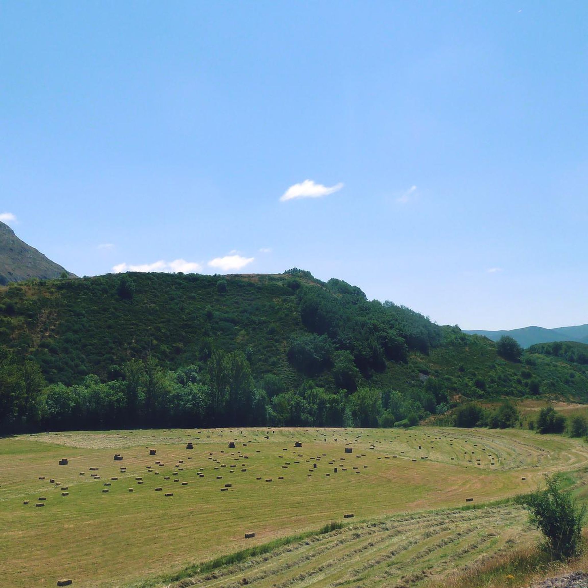
Touring cycling routes in Babia Y Luna traverse a landscape within the Cantabrian Mountains, characterized by limestone mountain ridges and rolling green valley bottoms. The region, designated a Natural Park and Biosphere Reserve, features evidence of past glacial activity, including cirques and lagoons. Cyclists encounter diverse vegetation, from oak and beech forests to juniper stands and expansive high-altitude prairies. This varied topography offers a range of challenging climbs and scenic descents.
Best touring cycling routes in Babia Y Luna
- The…
Last updated: October 10, 2026
8
riders
55.3km
03:50
530m
530m
Hard bike ride. Very good fitness required. Some segments of this route may be unpaved and difficult to ride.
1.0
(1)
42
riders
84.1km
06:00
1,750m
1,750m
Hard bike ride. Very good fitness required. Mostly paved surfaces. Suitable for all skill levels.

5.0
(1)
32
riders
90.6km
07:12
2,130m
2,130m
Hard bike ride. Very good fitness required. Mostly paved surfaces. Suitable for all skill levels.
5.0
(1)
12
riders
Hard bike ride. Very good fitness required. Mostly paved surfaces. Suitable for all skill levels.
13
riders
33.6km
03:12
750m
750m
Hard bike ride. Very good fitness required. Mostly paved surfaces. Suitable for all skill levels.
Get access to more routes and recommendations from other explorers.
Already have an account?
Our route recommendations are based on thousands of hikes, rides, and runs completed by other people on komoot.
Start today with a free account
Your next adventure awaits.
Popular around Babia Y Luna

Height Challenges — Ports in Castilla y León

12 hiking gems throughout Spain
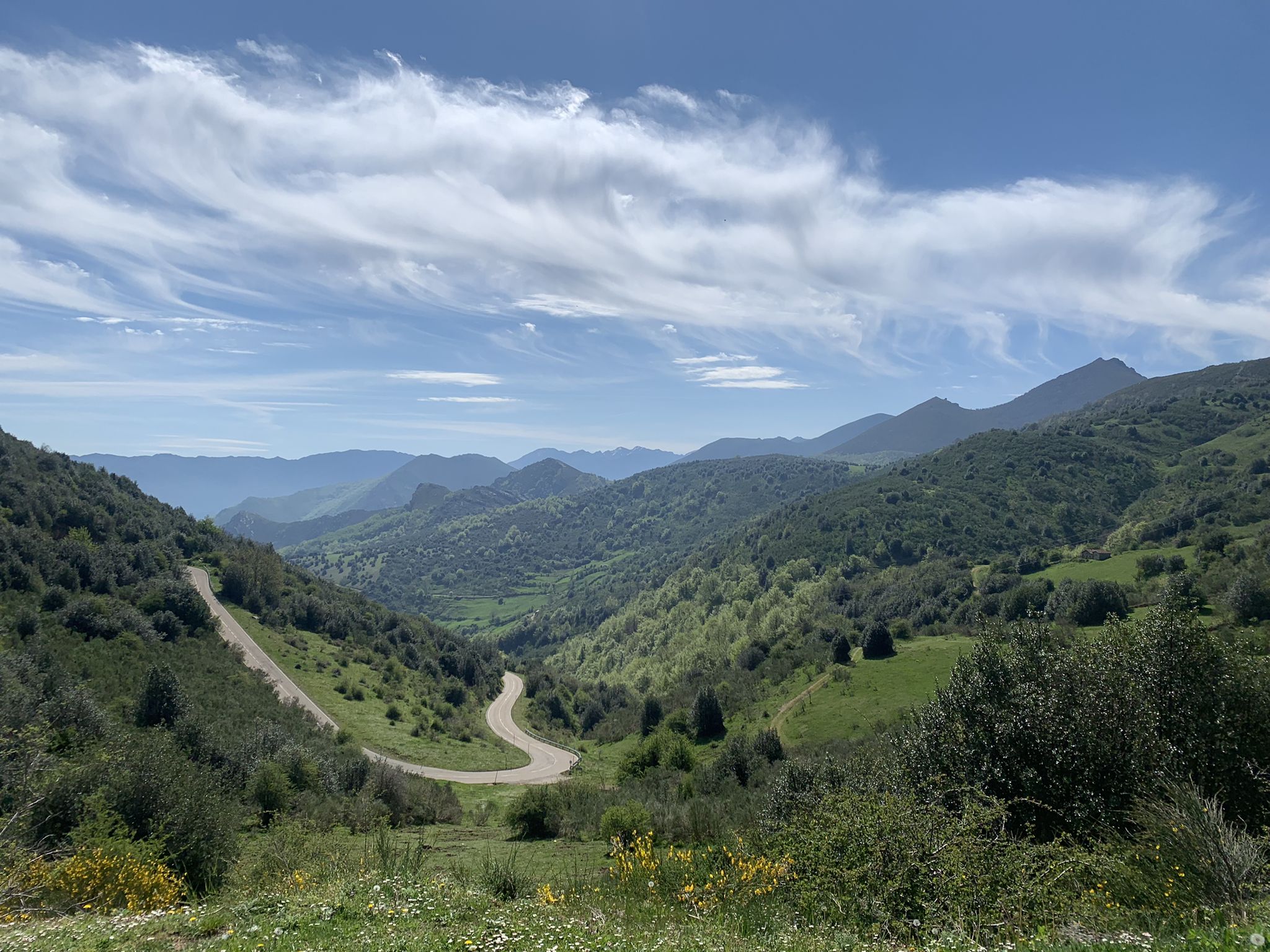
Along a Roman road to Asturias in Spain – Camino Real de la Mesa (GR 101)

TransCantabrica – Extreme mountain biking in northern Spain
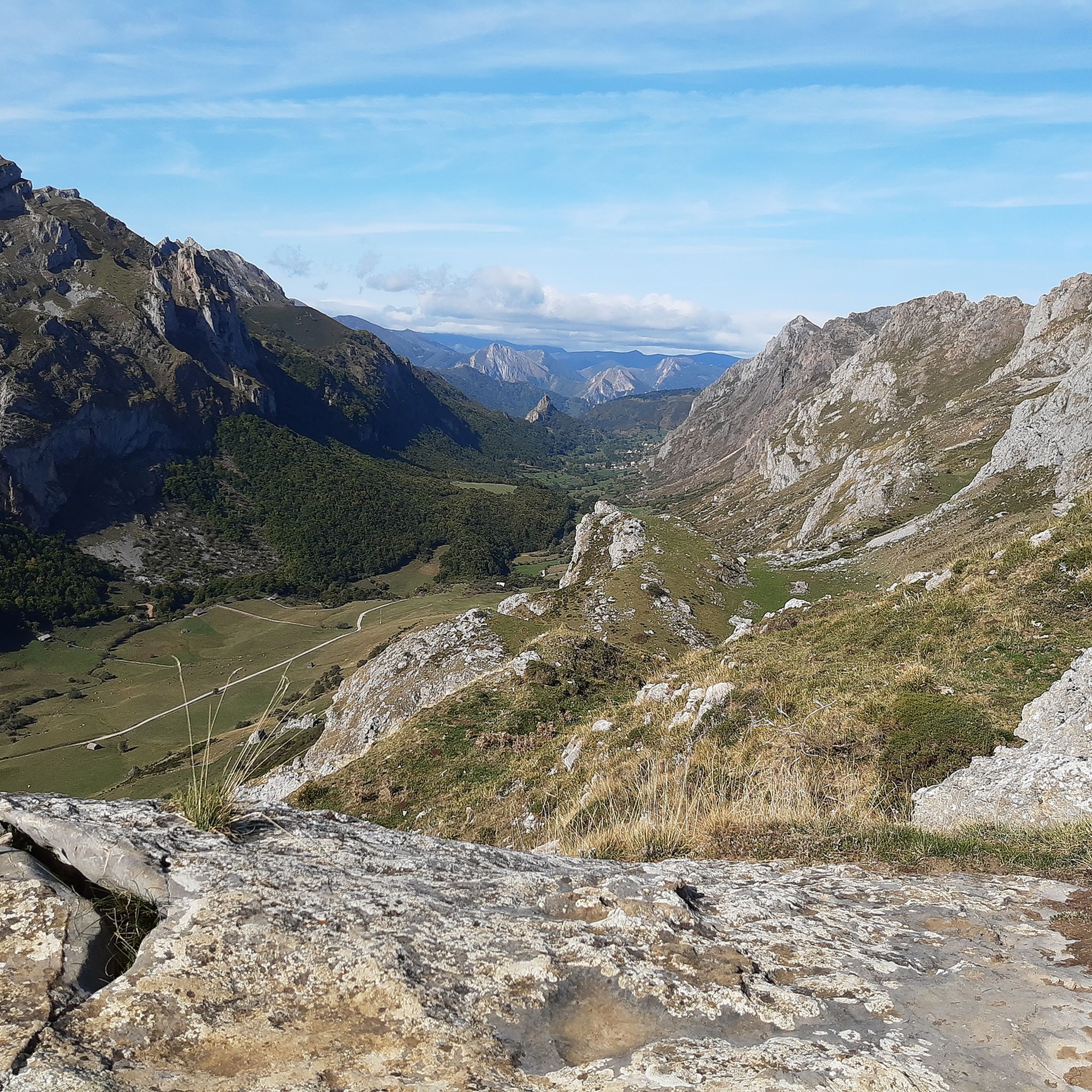
Hiking in Babia Y Luna
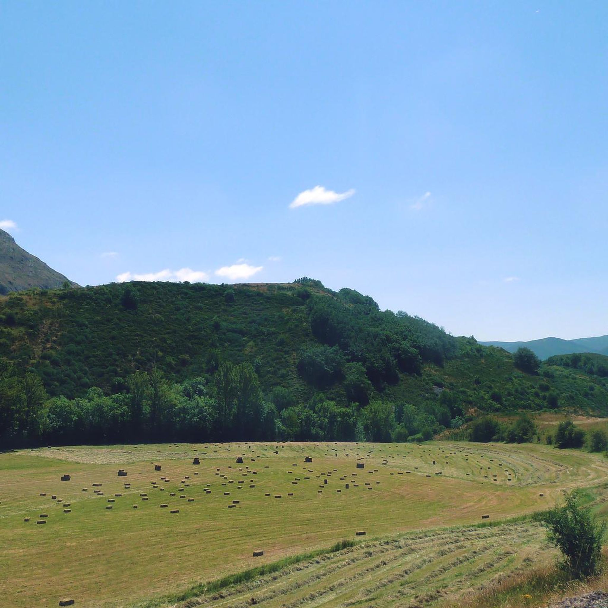
MTB Trails in Babia Y Luna
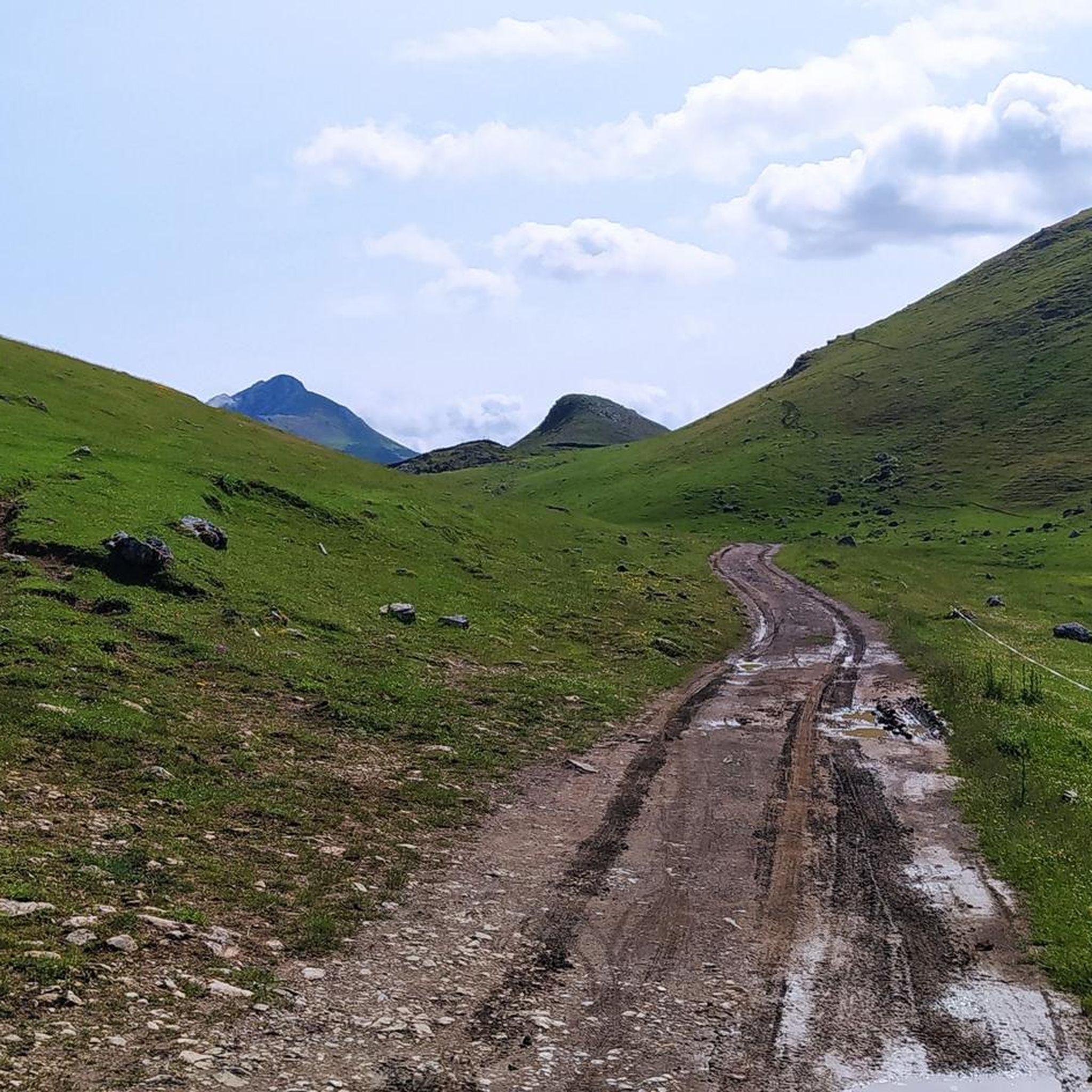
Running Trails in Babia Y Luna
Road Cycling Routes in Babia Y Luna
Other adventures in Babia Y Luna


Tips from the Community


The pass is now paved and can be driven on by car.
1
0

During the mining era, this pass served as a discreet link between mines on either side, and minimal traces of old cart and mule traffic remain, though they don't coincide with the current road. From above, the wind is almost constant, and the view towards the Saliencia lakes has that air of a "natural viewpoint" before the term even existed. It's perfect to mark on Komoot as a key point on your route due to its spaciousness, its somewhat hidden history, and its character as a natural border.
1
0

San Emiliano is the capital of the Babia region in León, a small town surrounded by mountains and meadows where you can breathe the essence of rural León life. Its stone houses, church, and natural surroundings make it an ideal starting point for exploring Babia's protected landscapes.
0
0
The view toward the village of La Peral is very beautiful if the weather is good. Slow down your bike a little and look up for a few seconds.
0
0

If you want a more relaxing ride, go to the right at the turnoff. The start of the loop has more climbs, but the return is definitely much flatter.
0
0

The Teverga Gorges are an impressive part of the Senda del Oso, a very popular hiking and cycling route in Asturias. This trail follows the route of an old mining railway and crosses the Valles del Oso, which include the municipalities of Quirós, Santo Adriano, Proaza and Teverga.
2
0

San Emiliano is a quiet cattle-raising village in the Babia de Yuso at the foot of the imposing mass of the Peña Ubiña massif. The town has all the services and is the starting point we have chosen to begin the climb towards Puerto de la Ventana. In autumn the days are short and we start early, the first rays of the sun barely lighting up the crest of Peña Ubiña. In Torrebarrio we continue along a dirt cattle track to finish warming up our legs and begin the climb towards the border of Asturias along the path of the old Ventana or Santa Fe coal mine. The track has a good surface and the climb is quiet until the Cuspasante sheepfold, passing near the Roguera cabins and beginning the mine slope. The mining operation was inland, the buildings are in ruins, there are remains of the exploitation and enormous slopes of the waste dumps, one of them is at the end of the climb, at the foot of the Peñón de Ventana, and is a panoramic viewpoint of the valley of San Emiliano and a large part of Babia.
0
0
Frequently Asked Questions
How many touring cycling routes are available in Babia Y Luna?
There are over 19 touring cycling routes in Babia Y Luna, offering a range of experiences for cyclists. While most routes are considered difficult, they traverse stunning landscapes within the Cantabrian Mountains.
What kind of terrain and difficulty can I expect on touring cycling routes in Babia Y Luna?
The terrain in Babia Y Luna is varied and often challenging, characterized by dramatic limestone mountain ridges and rolling green valley bottoms. Most routes are classified as difficult, featuring significant elevation gains and demanding road rides through mountain passes. You'll encounter evidence of past glacial activity, diverse forests, and expansive high-altitude prairies.
Are there any circular touring cycling routes in Babia Y Luna?
Yes, several routes are designed as loops, allowing you to start and finish in the same location. An example is the El Tajo del Sil - circular route through the region of Babia from San Emiliano, which covers 34.4 miles (55.3 km) through varied terrain.
What are some notable natural features or landmarks I might see while cycling in Babia Y Luna?
Babia Y Luna, a Natural Park and Biosphere Reserve, offers breathtaking natural beauty. Cyclists can experience dramatic limestone massifs like Peña Ubiña, glacial cirques, valleys, and lagoons such as Las Verdes. You'll also pass through lush oak, beech, and birch forests, as well as unique juniper stands. Notable mountain passes like La Cubilla Pass and Ventana Pass offer stunning views.
What do other touring cyclists enjoy most about cycling in Babia Y Luna?
The area is highly rated by the komoot community, with an average score of 4.0 stars. Reviewers often praise the challenging climbs, the stunning mountain scenery, and the sense of immersion in a preserved natural environment, highlighting routes that offer extensive climbs through mountain passes.
Are there any routes suitable for families or less experienced touring cyclists?
While most touring cycling routes in Babia Y Luna are classified as difficult due to significant elevation gains and challenging terrain, there is one route considered moderate. It's advisable for families or less experienced cyclists to carefully review route details, including distance and elevation, to ensure it matches their fitness level and experience.
What is the best time of year to go touring cycling in Babia Y Luna?
The region's varied topography and high mountain characteristics suggest that late spring, summer, and early autumn are generally the best times for touring cycling. During these months, weather conditions are typically more favorable, and mountain passes are more accessible. Always check local weather forecasts before heading out.
Can you recommend a challenging touring cycling route for experienced riders?
For experienced riders seeking a challenge, the Alto de la Farrapona – Pola de Somiedo loop from Aparcamiento Quejo is a difficult 52.3 miles (84.1 km) path. This route offers a demanding road ride through mountain passes with extensive climbs, providing a significant test of endurance and skill.
Are there any reservoirs or lakes that can be seen from the cycling routes?
Yes, you can cycle near beautiful water bodies. The Casares Reservoir loop from Sena de Luna is a 40.0 miles (64.4 km) trail that leads through the area around Casares Reservoir, offering scenic views of the water.
What kind of wildlife might I encounter while cycling in Babia Y Luna?
As a Natural Park and Biosphere Reserve, Babia Y Luna is rich in wildlife. Cyclists might have opportunities to spot Cantabrian brown bears, chamois, roe deer, various raptors, and unique alpine birds. The region is also home to traditional local breeds like Hispano-Breton horses and Leonese mastiffs.
Is there a route that offers views of a lake and a mountain pass?
Yes, the Alto de la Farrapona – La Cueva Lake loop from Cabrillanes is a difficult 48.2 km route that combines the challenge of a mountain pass with the serene beauty of La Cueva Lake.
Are there any routes that explore the rock formations of the region?
Yes, the San Emiliano – San Emiliano Rock Formation loop from San Emiliano is a difficult 33.2 km route that allows you to explore the distinctive rock formations around San Emiliano.
Most popular routes in Babia Y Luna
Most popular attractions in Babia Y Luna

Get inspired with the komoot mobile app


Explore more
Browse the best Cycling routes in other regions.
