The best waterfall hikes and walks in Babia Y Luna
4.6
(695)
5,226
hikers
4
hikes
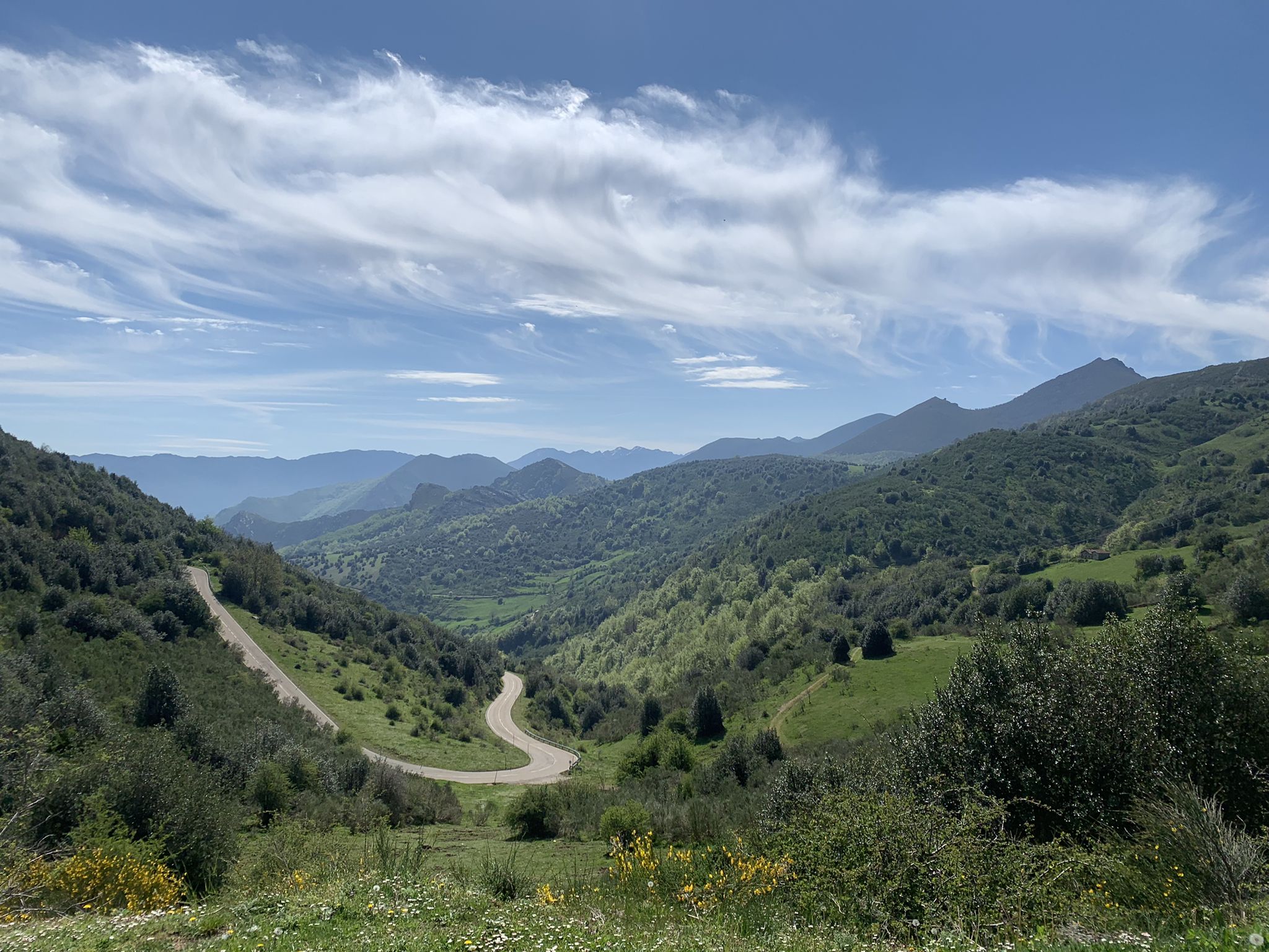
Waterfall hiking trails in Babia Y Luna traverse a landscape characterized by its mountainous terrain, deep valleys, and abundant water sources. The region, part of the Cantabrian Mountains, features a mix of dense forests, open pastures, and rocky outcrops, creating varied environments for hikers. Numerous streams and rivers carve through the landscape, leading to a variety of cascades and waterfalls.
Best waterfall hiking trails in Babia Y Luna
- The most popular waterfall hiking route is Sierra de los Bígaros Ridge…
Last updated: October 10, 2026
4.0
(2)
29
hikers
20.3km
07:02
1,040m
1,040m
This difficult 12.6-mile circular hike from Torrestío offers panoramic views of Lago de la Cueva and the Sierra de los Bígaros ridge.
6
hikers
16.7km
05:00
530m
530m
Moderate hike. Good fitness required. Easily-accessible paths. Suitable for all skill levels.

4.0
(1)
11
hikers
7.84km
02:48
360m
360m
Moderate hike. Good fitness required. Mostly accessible paths. Sure-footedness required.
3.0
(1)
12
hikers
5.06km
01:34
150m
150m
Moderate hike. Great for any fitness level. Mostly accessible paths. Sure-footedness required.
Our route recommendations are based on thousands of hikes, rides, and runs completed by other people on komoot.
Start today with a free account
Your next adventure awaits.



Other adventures in Babia Y Luna


Tips from the Community

The pass is now paved and can be driven on by car.
1
0

During the mining era, this pass served as a discreet link between mines on either side, and minimal traces of old cart and mule traffic remain, though they don't coincide with the current road. From above, the wind is almost constant, and the view towards the Saliencia lakes has that air of a "natural viewpoint" before the term even existed. It's perfect to mark on Komoot as a key point on your route due to its spaciousness, its somewhat hidden history, and its character as a natural border.
1
0

Beautiful port with very very hard climbs on both sides.
1
0
Impressive views, both for Leonese lands and Asturian lands. The climbs on both slopes are very difficult, but spectacular, and are worth it.
0
0

This small town in León is located almost on the border with Asturias. It is a small group of traditional houses at the bottom of a deep valley flanked by the typical gray limestone massifs of the area. It is the starting point of the Camín Real de la Mesa.
0
0

One of the most well-known mountain passes in Spanish cycling but on foot, it offers good views of the plumbing area between Castilla and Asturias.
0
0
Carenejar through the Sierra de los Bígaros offers impressive views, on one side of the Lagos de la Farrapona and on the other of the Cordal de la Mesa.
0
0

It's a mountain pass that marks the border between Asturias and León. It's the starting point for countless hikes, including the Saliencia Lakes hike, in a beautiful setting. A magical place, no matter the season.
1
0
Frequently Asked Questions
Are there any easy or family-friendly waterfall hikes in Babia Y Luna?
While many trails in Babia Y Luna are moderate to difficult due to the mountainous terrain, there are options suitable for those seeking a less strenuous experience. The Pimpanón Waterfall loop from La Dorniecha is a moderate 5 km trail that can be completed in about 1 hour 34 minutes, offering a beautiful waterfall experience without extreme difficulty. It's a good choice for families or beginners looking for a shorter walk.
What is the best time of year to visit Babia Y Luna for waterfall hiking?
The best time for waterfall hiking in Babia Y Luna is typically during spring (April to June) when snowmelt feeds the rivers, making the waterfalls particularly powerful and impressive. Autumn (September to October) also offers beautiful scenery with changing foliage, though water levels might be lower. Summer can be pleasant, but some smaller waterfalls might have reduced flow. Winter hiking is possible but requires appropriate gear and experience due to snow and ice conditions.
Are there any circular waterfall walks in Babia Y Luna?
Yes, several waterfall trails in Babia Y Luna are designed as circular routes, allowing you to start and end at the same point. For example, the Pimpanón Waterfall loop from Villablino is a moderate 7.8 km circular trail that takes you through forested valleys and alongside streams to the waterfall.
What kind of terrain can I expect on waterfall hikes in Babia Y Luna?
Waterfall hikes in Babia Y Luna traverse a diverse landscape within the Cantabrian Mountains. You can expect a mix of dense forests, open pastures, and rocky outcrops. Trails often follow river valleys, leading to cascades, and may include ascents and descents, sometimes on uneven or rocky paths. Sturdy hiking boots are highly recommended.
What do other hikers say about the waterfall trails in Babia Y Luna?
The waterfall trails in Babia Y Luna are highly regarded by the komoot community, boasting an average rating of 4.6 stars from over 200 reviews. Hikers often praise the stunning natural beauty, the impressive waterfalls, and the varied mountain scenery. Many appreciate the sense of tranquility and the opportunity to explore the region's unique ecosystems.
Are there any hidden gem waterfalls or less-known trails in the region?
While specific 'hidden gem' waterfalls are often discovered by local exploration, the region of Babia Y Luna itself is a gem for those seeking natural beauty away from more crowded tourist spots. Exploring trails like the Torrestío – Alto de la Farrapona loop from Tras los Corrales can lead you to impressive viewpoints and serene natural settings, where you might encounter lesser-known cascades along the way.
What should I wear for waterfall hiking in Babia Y Luna?
Given the mountainous and often wet conditions around waterfalls, it's essential to wear appropriate gear. We recommend sturdy, waterproof hiking boots with good ankle support, layered clothing to adapt to changing temperatures, and a waterproof jacket. Bringing extra socks, a hat, and gloves (especially outside of summer) is also advisable. Don't forget a backpack with water, snacks, and a first-aid kit.
Are there any notable landmarks or attractions near the waterfall trails?
Yes, the Babia Y Luna region is rich in natural landmarks. While exploring waterfall trails, you'll be in proximity to impressive mountain passes like La Cubilla Pass and Ventana Pass. There are also significant summits such as Peña Orniz Summit and Peña Ubiña, offering breathtaking views of the Cantabrian Mountains.
How many waterfall hiking trails are available in Babia Y Luna?
Currently, there are several dedicated waterfall hiking trails highlighted in Babia Y Luna, offering a selection of routes for different abilities. These trails are part of a larger network of over 200 routes in the region, which have been explored by more than 2000 hikers using komoot.
Are there any opportunities for wild swimming near the waterfalls?
While the region's rivers and streams are beautiful, specific designated wild swimming spots near waterfalls are not widely promoted due to safety concerns regarding strong currents, cold water, and slippery rocks. If you consider swimming, always exercise extreme caution, assess local conditions, and be aware of any local regulations or private property restrictions. It's generally safer to enjoy the waterfalls from a distance.
What is the most challenging waterfall hike in Babia Y Luna?
For experienced hikers seeking a challenge, the Sierra de los Bígaros Ridge and Lago de la Cueva Loop is a difficult 20.3 km trail that typically takes over 7 hours to complete. This route features significant elevation changes and offers extensive views, making it a demanding but rewarding option for those with good fitness and navigation skills.
Most popular routes in Babia Y Luna
Most popular attractions in Babia Y Luna

Get inspired with the komoot mobile app


Explore more
Browse the best Hikes in other regions.
