The best MTB trails in Ejes De Los Cursos Bajos De Los Ríos Manzanares Y Jarama
4.4
(150)
665
riders
64
rides
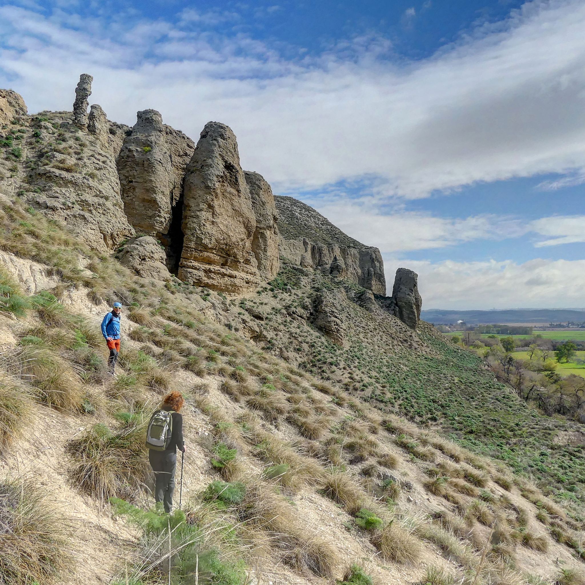
Mountain bike trails in Ejes De Los Cursos Bajos De Los Ríos Manzanares Y Jarama traverse a protected natural area characterized by the lower courses of the Manzanares and Jarama rivers. The region features varied terrain, including riverine plains, gentle hills, and distinctive gypsum cliffs. Cyclists will find diverse landscapes, from wetlands and lagoons to fertile cereal plains and riverine groves. This area provides a range of routes suitable for mountain biking, from flat riverside paths to more challenging hilly…
Last updated: July 11, 2026
4.6
(20)
93
riders
Moderate mountain bike ride. Good fitness required. Suitable for all skill levels.
30
riders
52.8km
05:11
1,000m
990m
Hard mountain bike ride. Very good fitness required. Advanced riding skills necessary. Some portions of the route may require you to push your bike.

Sign up for free
3.5
(6)
31
riders
92.2km
05:45
620m
620m
Hard mountain bike ride. Very good fitness required. Suitable for all skill levels.
4.5
(2)
25
riders
21.0km
01:35
80m
80m
Easy mountain bike ride. Great for any fitness level. Suitable for all skill levels.
4.4
(5)
20
riders
Easy mountain bike ride. Great for any fitness level. Suitable for all skill levels.
Get access to more routes and recommendations from other explorers.
Sign up for free
Already have an account?
Our route recommendations are based on thousands of hikes, rides, and runs completed by other people on komoot.
Start today with a free account
Your next adventure awaits.
Login or Signup
Popular around Ejes De Los Cursos Bajos De Los Ríos Manzanares Y Jarama
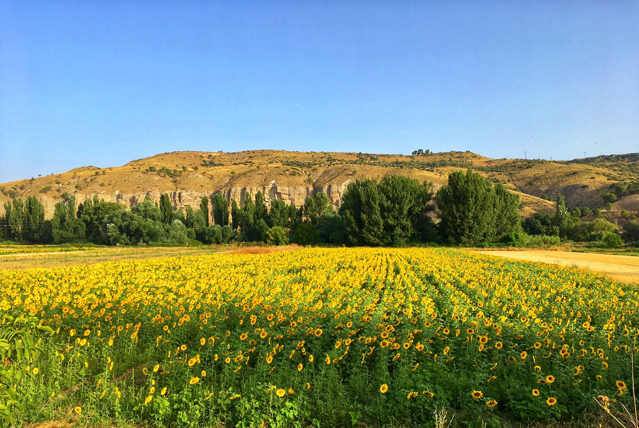
Palaces, rivers and fields — Las Vegas de Madrid gravel tour
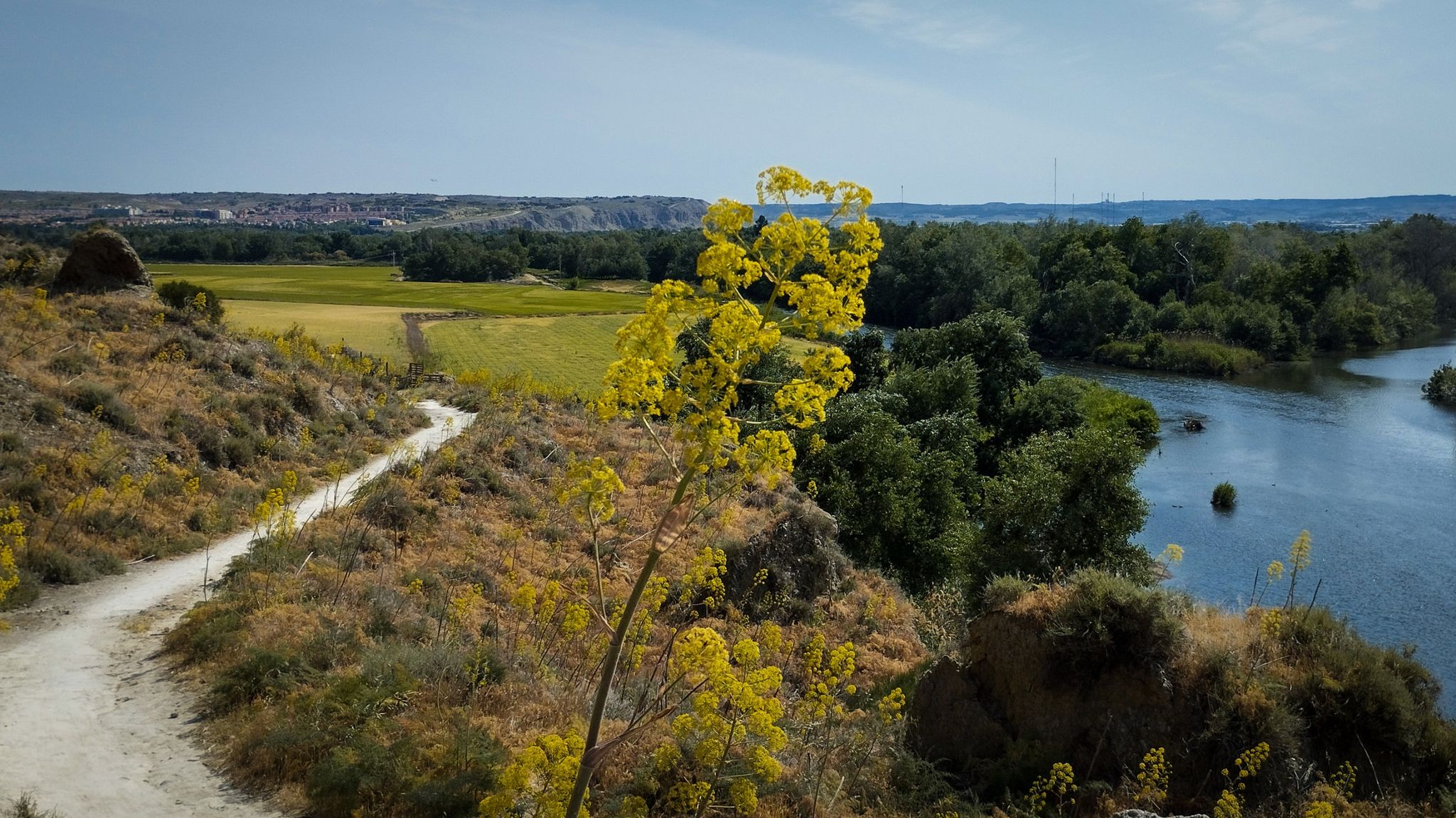
Unexpectedly wild – Jarama on a gravel bike
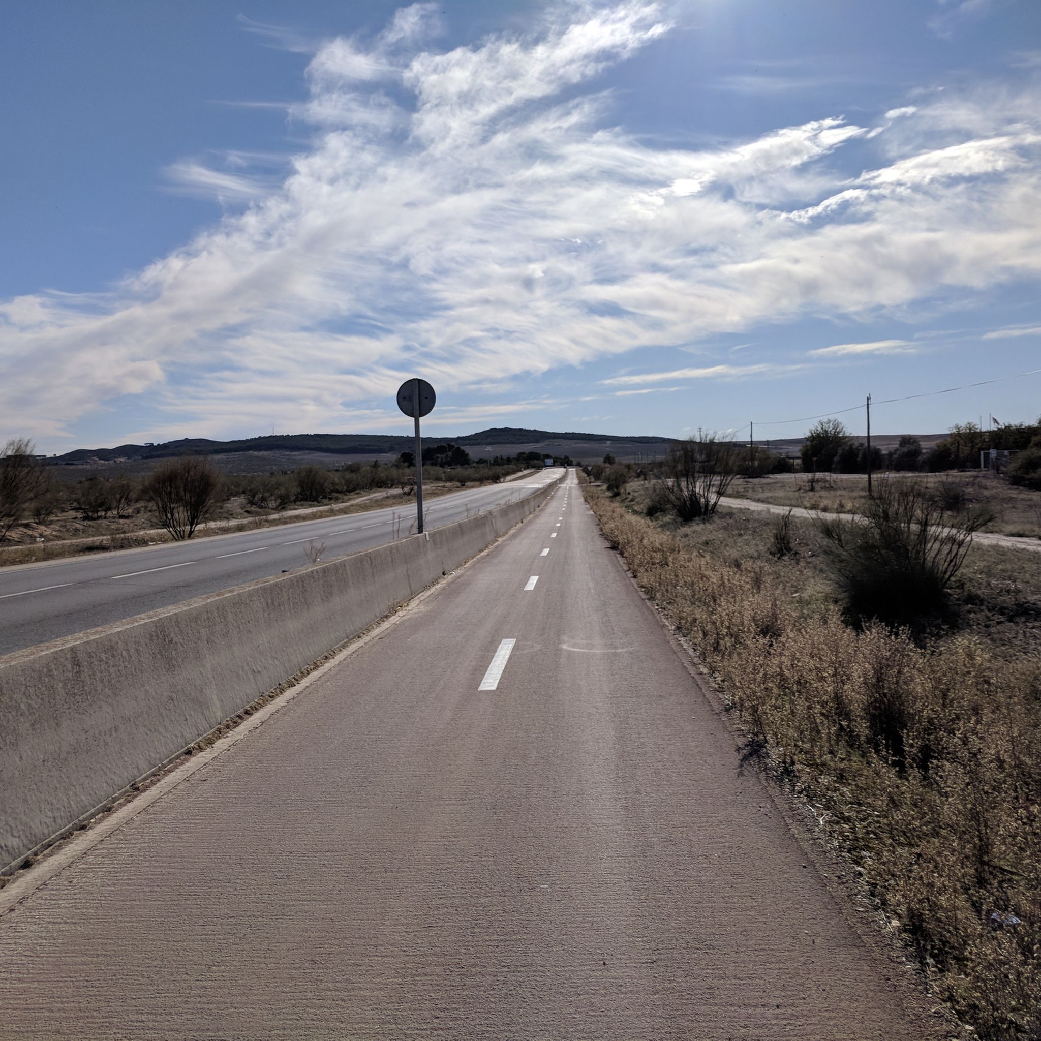
Road Cycling Routes in Ejes De Los Cursos Bajos De Los Ríos Manzanares Y Jarama
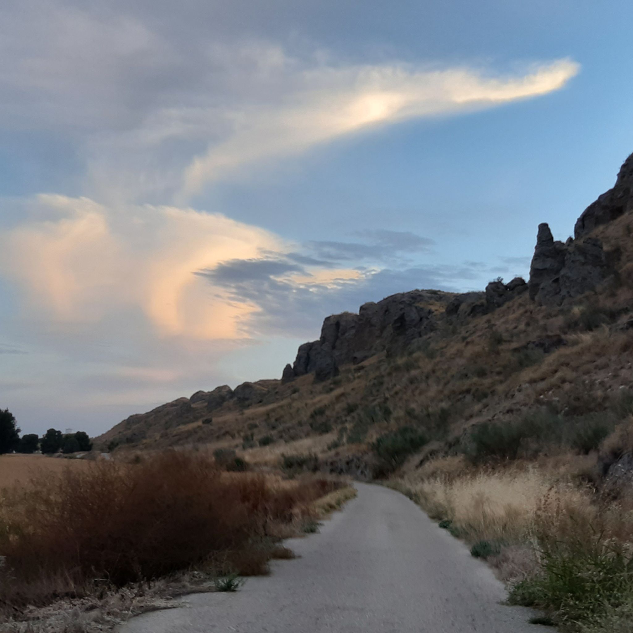
Cycling in Ejes De Los Cursos Bajos De Los Ríos Manzanares Y Jarama
Hiking in Ejes De Los Cursos Bajos De Los Ríos Manzanares Y Jarama

Gravel biking in Ejes De Los Cursos Bajos De Los Ríos Manzanares Y Jarama
Running Trails in Ejes De Los Cursos Bajos De Los Ríos Manzanares Y Jarama
Other adventures in Ejes De Los Cursos Bajos De Los Ríos Manzanares Y Jarama

Tips from the Community

ideal for kids, although the train went super slow 🤣
0
0

This lagoon is artificial, created from the extraction of aggregates in the Jarama River basin during the 1960s and 1970s. It is an ideal place to enjoy nature, hike, or cycle. The lagoon's perimeter measures approximately 5.5 km, and its average depth is 6 meters, although in some areas it can reach 20 meters. It also has a natural resources interpretation center that organizes workshops and educational activities.
2
0
The Campillo Lagoon is located in Rivas Vaciamadrid, within the Southeast Regional Park, about 20 km from Madrid. It is a protected natural area, ideal for peaceful walks and outdoor activities. Origin: Artificial, formed in the 1960s and 70s after the extraction of aggregates in the Jarama River basin. Water from the aquifer filled the excavations and over time became a wetland with great biodiversity.
2
0
In the case of Palomeras Linear Park, the closest equivalent to a greenway is its integration within Madrid's Green Cycling Ring, a large 64-km circular route connecting the city's natural spaces. The park doesn't officially have its own greenway, but it does include a section of the Green Ring, which functions practically as one: a safe bike lane, natural scenery, and non-motorized traffic.
8
0
The Campillo Lagoon is located in Rivas Vaciamadrid, within the Southeast Regional Park, about 20 km from Madrid. It is a protected natural area, ideal for peaceful walks and outdoor activities. Origin: Artificial, formed in the 1960s and 70s after the extraction of aggregates in the Jarama River basin. Water from the aquifer filled the excavations and over time became a wetland with great biodiversity.
4
0

The Manzanares is a river in the central Iberian Peninsula, a right tributary of the Jarama, which in turn is a tributary of the Tagus. This river, which flows entirely through the Community of Madrid (Spain), rises in the Guadarrama mountain range, in the Ventisquero de la Condesa—the southern slope of the Cuerda Larga, near the Bola del Mundo—and flows through the city of Madrid. It empties into the Jarama River, in the municipality of Rivas-Vaciamadrid, after a journey of 92 kilometers. The river hosts different ecosystems and flows through areas of great environmental value, which have received different levels of protection. Its upper basin, from its source to El Pardo Mountain (including La Pedriza), constitutes the Upper Manzanares Basin Regional Park, with an area of 52,796 hectares. Its lower course is also protected, within the Southeast Regional Park. In its urban course, the Manzanares River is the result of decades of channeling and damming work. However, in 2016, the river level was returned to its original level near Madrid by opening the regulating floodgates, resulting in an increase in biological diversity in this section.
2
1

bridge that crosses the Manzanares
1
0

Descend carefully...loose dirt and gravel...to ascend, the GPS indicates gradients of 16%. Technique and fitness are required.
0
0
Frequently Asked Questions
What kind of mountain bike trails can I find in the Ejes De Los Cursos Bajos De Los Ríos Manzanares Y Jarama region?
The region offers a diverse range of mountain bike trails, from flat riverside paths along the Manzanares and Jarama rivers to more challenging routes through gentle hills and distinctive gypsum cliffs. You'll encounter varied landscapes including wetlands, lagoons, fertile cereal plains, and riverine groves, providing options for different skill levels.
How many mountain bike trails are available in the Ejes De Los Cursos Bajos De Los Ríos Manzanares Y Jarama region?
There are over 70 mountain bike trails in the Ejes De Los Cursos Bajos De Los Ríos Manzanares Y Jarama region. This includes 18 easy routes, 36 moderate routes, and 16 difficult routes, ensuring options for all experience levels.
Are there any family-friendly mountain bike trails in the Southeast Regional Park?
Yes, the varied topography of the Southeast Regional Park includes many easy, flatter routes, particularly along the riverbanks and through the plains, which are ideal for families. An example of an easy route is the Campillo Lagoon – Laguna del Campillo loop from La Poveda, which is just over 20 km long.
Can I bring my dog on the mountain bike trails in this area?
Many trails in the Ejes De Los Cursos Bajos De Los Ríos Manzanares Y Jarama region are suitable for cycling with dogs, especially the flatter, wider paths. However, it's always recommended to keep your dog on a leash and check local regulations for specific areas within the protected park to ensure a safe and enjoyable experience for everyone.
What are some interesting natural features or landmarks to see along the mountain bike routes?
The region is rich in natural and historical points of interest. You can cycle past beautiful wetlands and lagoons like Campillo Lagoon, Miralrío Lagoon, and Laguna del Soto de las Juntas. Other notable sights include the impressive Jarama Cliffs, the historic La Poveda Railway Bridge, and even Spanish Civil War Bunkers and Trenches at Jarama Front.
Are there any circular mountain bike routes available?
Yes, many of the mountain bike routes in the Ejes De Los Cursos Bajos De Los Ríos Manzanares Y Jarama region are designed as loops, allowing you to start and end at the same point. Examples include the Cerro del Portillo – View of the Pine Forests loop from San Martín de la Vega and the Old Bridge of Titulcia – Titulcia Main Square loop from Vallequillas.
What is the best time of year for mountain biking in this region?
The Ejes De Los Cursos Bajos De Los Ríos Manzanares Y Jarama region is generally best for mountain biking during the spring and autumn months when temperatures are milder. Summers can be very hot, and while winters are generally mild, occasional rain can make some trails muddy. Always check the weather forecast before heading out.
What do other mountain bikers enjoy most about the trails here?
The trails in Ejes De Los Cursos Bajos De Los Ríos Manzanares Y Jarama are highly rated by the komoot community, with an average score of 4.4 stars from over 140 reviews. Riders often praise the diverse landscapes, the peaceful riverine environments, and the accessibility of varied routes suitable for different skill levels.
Are there any challenging mountain bike routes for experienced riders?
Absolutely. While the region offers many easy and moderate options, there are also challenging routes for experienced mountain bikers. For instance, the Old Bridge of Titulcia – Titulcia Main Square loop from Vallequillas is a difficult 53.9 km path exploring riverine landscapes, and the Parque del Manzanares Greenway – Toledo Bridge loop from Ciempozuelos is a demanding 92 km trail.
Is it possible to access the mountain bike trails using public transport?
The Southeast Regional Park is located within half an hour of Madrid, making it relatively accessible. While specific public transport options to every trailhead may vary, many towns bordering the park, such as Rivas-Vaciamadrid, San Martín de la Vega, Ciempozuelos, and Titulcia, have public transport connections, from which you can often reach trail access points.
Where can I find parking for mountain biking in the Ejes De Los Cursos Bajos De Los Ríos Manzanares Y Jarama region?
Parking is generally available in the towns and villages surrounding the Southeast Regional Park, such as San Martín de la Vega, Ciempozuelos, and Velilla de San Antonio, which serve as common starting points for many routes. Look for designated parking areas near trailheads or in urban centers close to the park's access points.
Are there opportunities for wildlife spotting while mountain biking?
Yes, the diverse ecosystems of the Southeast Regional Park, particularly around the rivers, wetlands, and lagoons, are home to a rich variety of birdlife. Cyclists often have opportunities to observe various species, especially near areas like Campillo Lagoon and the renaturalized sections of the Manzanares River.
Most popular routes in Ejes De Los Cursos Bajos De Los Ríos Manzanares Y Jarama
Most popular attractions in Ejes De Los Cursos Bajos De Los Ríos Manzanares Y Jarama

Get inspired with the komoot mobile app


Explore more
Browse the best MTB trails in other regions.
