The best traffic-free bike rides in Ejes De Los Cursos Bajos De Los Ríos Manzanares Y Jarama
4.4
(540)
28,119
riders
15
rides
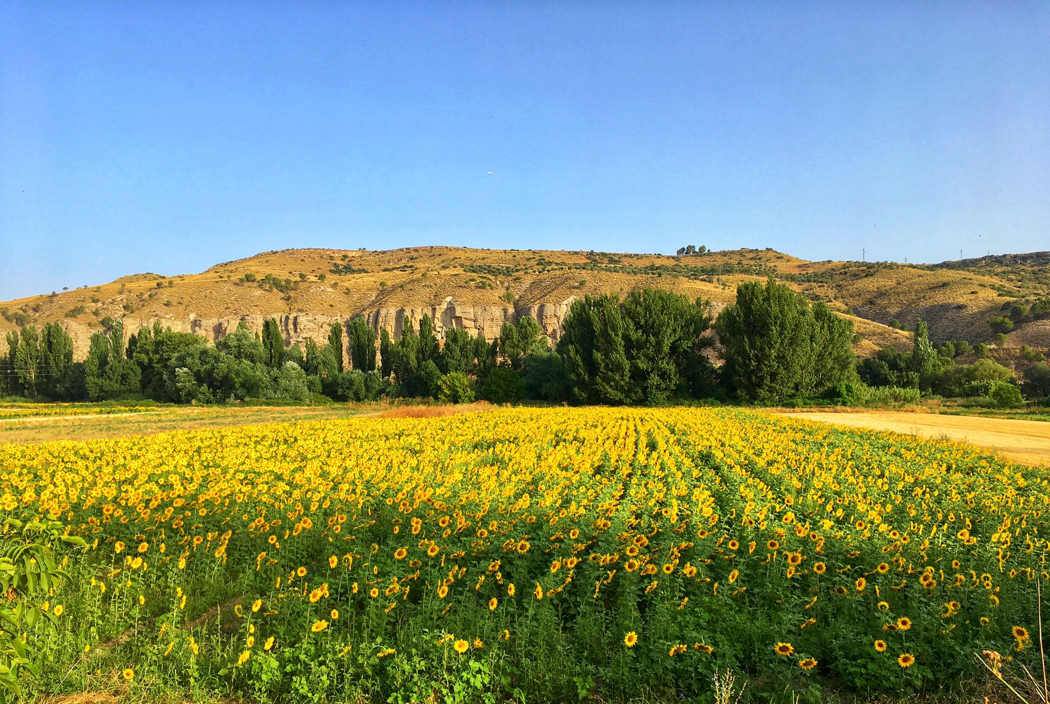
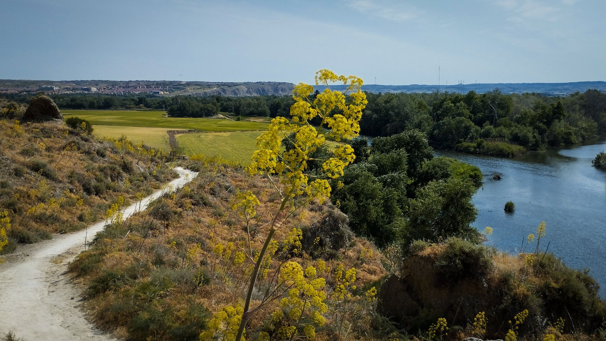
No traffic road cycling routes in Ejes De Los Cursos Bajos De Los Ríos Manzanares Y Jarama traverse a landscape defined by the Manzanares and Jarama rivers, their tributaries, and associated riparian forests. The region features fertile plains, agricultural vegas, and wetlands, offering varied scenery for cyclists. Contrasting with the flat areas are gypsum cliffs and gentle hills, providing geological interest and minor elevation changes. This combination creates diverse cycling experiences suitable for various skill levels.
Best no traffic road…
Last updated: July 13, 2026
4.6
(7)
189
riders
Moderate road ride. Good fitness required. Mostly well-paved surfaces and easy to ride.
22
riders
55.0km
02:55
760m
760m
Moderate road ride. Good fitness required. Some segments of this route may be unpaved and difficult to ride.

Sign up for free
5
riders
26.9km
01:34
240m
240m
Moderate road ride. Great for any fitness level. Some segments of this route may be unpaved and difficult to ride.
4.5
(6)
142
riders
34.1km
01:46
300m
300m
Moderate road ride. Good fitness required. Mostly well-paved surfaces and easy to ride.
5.0
(1)
101
riders
86.9km
03:49
460m
460m
Moderate road ride. Good fitness required. Mostly well-paved surfaces and easy to ride.
Get access to more routes and recommendations from other explorers.
Sign up for free
Already have an account?
Our route recommendations are based on thousands of hikes, rides, and runs completed by other people on komoot.
Start today with a free account
Your next adventure awaits.
Login or Signup
Popular around Ejes De Los Cursos Bajos De Los Ríos Manzanares Y Jarama


Other adventures in Ejes De Los Cursos Bajos De Los Ríos Manzanares Y Jarama

Tips from the Community

Press from below, it becomes short
0
0

Morata is a village of orchards and plains on the railway line of the old Tren de Arganda, a 19th century project to run a railway from Madrid to the Aragón line through the valleys of the Tajuña and Tajo rivers. Work began in 1886 and in 1921 the last section was inaugurated, between Sacedón and Alocén, in Guadalajara. In the Plaza Mayor is the Casa Consistorial, the seat of the Town Hall and a unique building, an interesting example of 19th century civil architecture in limestone ashlars and elaborate wrought iron work on the first floor balcony. The main historical and artistic monument of Morata is the 17th century church of Nuestra Señora de la Concepción, with a superb stone bell tower. Popular culture and part of the local history are condensed in the Ethnographic Museum, the Museum of the Civil War and Postwar and the Museum of Milling, on the banks of the Tajuña river.
0
0

Comfortable stretch of greenway, which I especially recommend in February, with the flowering of the almond trees
2
0

One of the best green roads I know, super quiet
1
0
Very close to green life to explore the south of Madrid
0
0

The pine forests of La Marañosa and its viewpoints.
0
0

This climb out of Morata would feel out of place in Mallorca: goes through a pine forest that provides some shade (not exactly a given in this area), it's relatively even in gradient, with peaks around 8%
0
0

Beautiful town that is worth knowing, and above all its delicious palm trees served in the "Real" pastry shop near the square!
6
0
Frequently Asked Questions
How many no-traffic road cycling routes are available in Ejes De Los Cursos Bajos De Los Ríos Manzanares Y Jarama?
There are 12 dedicated no-traffic road cycling routes in the Ejes De Los Cursos Bajos De Los Ríos Manzanares Y Jarama region, offering a variety of experiences for cyclists. These routes are specifically designed to keep you away from vehicular traffic, providing a safer and more enjoyable ride.
What kind of terrain can I expect on these traffic-free road cycling routes?
The region offers a diverse cycling experience. You'll find a mix of flat river plains along the Manzanares and Jarama rivers, gently rolling agricultural lands, and occasional gypsum cliffs and hills. This variety allows for both relaxed rides through scenic countryside and routes with more challenging ascents and descents, such as those near the Cerros de la Marañosa.
Are there easy, beginner-friendly no-traffic road cycling routes?
Yes, there are 5 easy-rated no-traffic road cycling routes perfect for beginners or those looking for a relaxed ride. An example is the Tajuña Greenway loop from Morata de Tajuña, which offers a pleasant 31.8 km ride with minimal elevation gain. Another great option is the Parque Enrique Tierno Galván – Parque de los Olivos loop from Valdemoro, covering 29.1 km.
What are some of the natural attractions I can see along these routes?
The region is rich in natural beauty. You can explore riverine ecosystems, fertile plains, and wetlands. Notable natural attractions include the dramatic Jarama Cliffs, the Campillo Lagoon, and the impressive Cliffs of La Marañosa. Don't miss the View of the confluence of the Jarama and Manzanares rivers from the Cortados de Rivas for a stunning panorama.
Are there any historical or cultural points of interest along the traffic-free cycling paths?
Yes, beyond the natural landscapes, you can encounter historical sites. For instance, the Spanish Civil War Bunkers and Trenches at Jarama Front offer a glimpse into the region's past. You might also pass by structures like the La Poveda Railway Bridge or the Presa del Rey, which are points of interest.
What is the best time of year to cycle in this region?
The climate in Madrid, which encompasses this region, is generally favorable for cycling for much of the year. Spring (April-May) and autumn (September-October) offer pleasant temperatures and vibrant landscapes, making them ideal. Summers can be hot, especially in July and August, so early morning or late afternoon rides are recommended then. Winters are generally mild, though cooler.
Are there any circular no-traffic road cycling routes?
Yes, many of the routes are designed as loops, allowing you to start and end at the same point. For example, the Tajuña Greenway loop from La Poveda is a moderate 38.2 km circular route, and the Puñoenrostro Castle – Puñoenrostro Castle loop from Seseña offers a 22.2 km moderate ride.
What do other road cyclists enjoy most about cycling here?
The area is highly rated by the komoot community, with an average score of 4.8 stars. Reviewers often praise the tranquility of the traffic-free paths, the scenic riverine landscapes, and the opportunity to explore the diverse natural features of the Parque Regional del Sureste, from the fertile vegas to the dramatic gypsum cliffs.
How long are the no-traffic road cycling routes typically?
The routes vary in length to suit different preferences and fitness levels. You can find shorter routes around 22 km, such as the Puñoenrostro Castle loop from Seseña, up to longer rides like the Shortcut via the M313 – Plaza Mayor de Chinchón loop from San Martín de la Vega, which is approximately 63.7 km.
Is public transport available to access these cycling routes?
While the guide focuses on the routes themselves, the broader Community of Madrid has public transport options that can bring you close to the Parque Regional del Sureste. Many municipalities within or bordering the park, such as Rivas Vaciamadrid or Arganda, are accessible by metro or bus, from where you can connect to the cycling networks. It's advisable to check specific public transport routes and bike carriage policies for your chosen starting point.
Are there any specific regulations or permits needed for cycling in the Parque Regional del Sureste?
The Parque Regional del Sureste is a protected natural space. Generally, cycling is permitted on marked trails and designated paths. While specific permits are not typically required for general cycling on public routes, it's always good practice to stay on marked paths, respect wildlife, and adhere to any local signage or regulations, especially concerning protected areas. More information about the park can be found on the Visitarb website.
Most popular routes in Ejes De Los Cursos Bajos De Los Ríos Manzanares Y Jarama
Most popular attractions in Ejes De Los Cursos Bajos De Los Ríos Manzanares Y Jarama

Get inspired with the komoot mobile app


Explore more
Browse the best Road cycling routes in other regions.
