The best mountain hikes in Cuenca Alta Del Manzanares
4.9
(11)
184
hikers
23
hikes
Mountaineering routes in Cuenca Alta Del Manzanares traverse a diverse landscape, characterized by the granite rock formations of La Pedriza and the rugged peaks of the Sierra de Guadarrama foothills. This regional park, a UNESCO Biosphere Reserve, features elevations exceeding 2000 meters in its northern sections, offering significant mountaineering opportunities. The terrain includes deep valleys, expansive forests, and varied ecosystems, providing a rich environment for outdoor pursuits.
Best mountaineering routes in Cuenca Alta Del Manzanares
- The most popular mountaineering route is Sanctuary with Jesus' Manger – Snail-Shaped Rock loop from Manzanares el Real, a 6.7 miles (10.8 km) difficult trail that takes about 4 hours 45 minutes to complete. This route explores the distinctive granite formations of the region.
- Another top favourite among local mountaineers is View of the Reservoir loop from Cantocochino, a difficult 6.1 miles (9.8 km) path. This trail offers views of the protected reservoirs and surrounding natural features.
- Local mountaineers also love the Siete Picos – Second Peak – Senda Herreros loop from Estación de Camorritos, a 7.8 miles (12.5 km) trail leading through the Sierra de Guadarrama foothills, often completed in about 5 hours 40 minutes.
- Mountaineering in Cuenca Alta Del Manzanares is defined by granite rock formations, rugged peaks, and diverse ecosystems including pine and holm oak groves. The region offers options for both moderate and difficult ability levels.
- The routes in Cuenca Alta Del Manzanares are highly rated by the komoot community with an average score of 4.8 stars from over 10 reviews. More than 200 mountaineers have used komoot to explore Cuenca Alta Del Manzanares's varied terrain.
Last updated: May 16, 2026
11
hikers
Hard mountaineering route. Good fitness required. Sure-footedness, sturdy shoes and alpine experience required.
4.0
(1)
4
hikers
12.4km
05:36
780m
780m
Hard mountaineering route. Very good fitness required. Sure-footedness, sturdy shoes and alpine experience required.

Sign up for free
5
hikers
5.62km
02:30
330m
330m
Moderate mountaineering route. Good fitness required. Mostly accessible paths. Sure-footedness required.
7
hikers
10.1km
04:50
770m
770m
Hard mountaineering route. Good fitness required. Sure-footedness, sturdy shoes and alpine experience required.
5.0
(1)
8
hikers
8.02km
04:29
690m
690m
Hard mountaineering route. Good fitness required. Sure-footedness, sturdy shoes and alpine experience required.
Get access to more routes and recommendations from other explorers.
Sign up for free
Already have an account?
Our route recommendations are based on thousands of hikes, rides, and runs completed by other people on komoot.
Start today with a free account
Your next adventure awaits.
Login or Signup
Popular around Cuenca Alta Del Manzanares

The treasures of Guadarrama – on foot along the GR 10 in Madrid
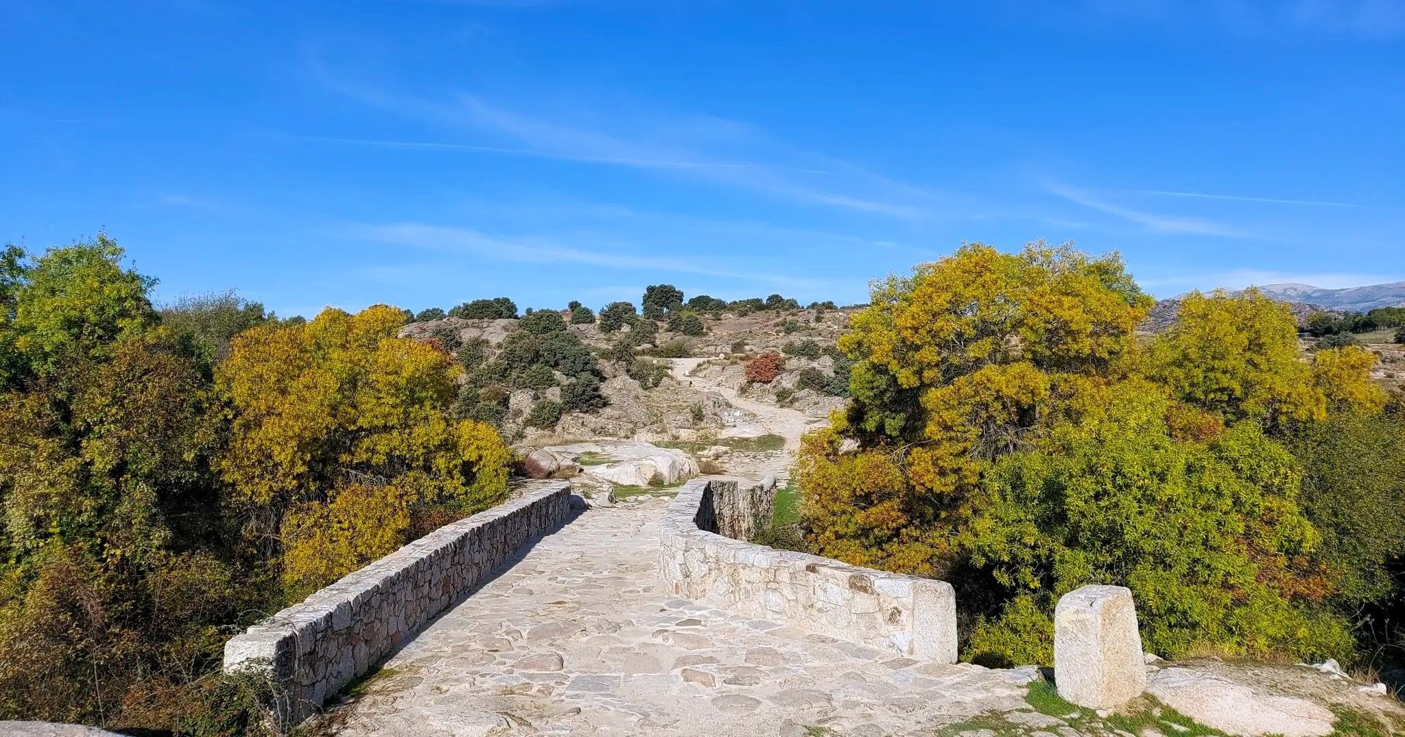
The Royal Path of Madrid – Senda Real (GR 124)
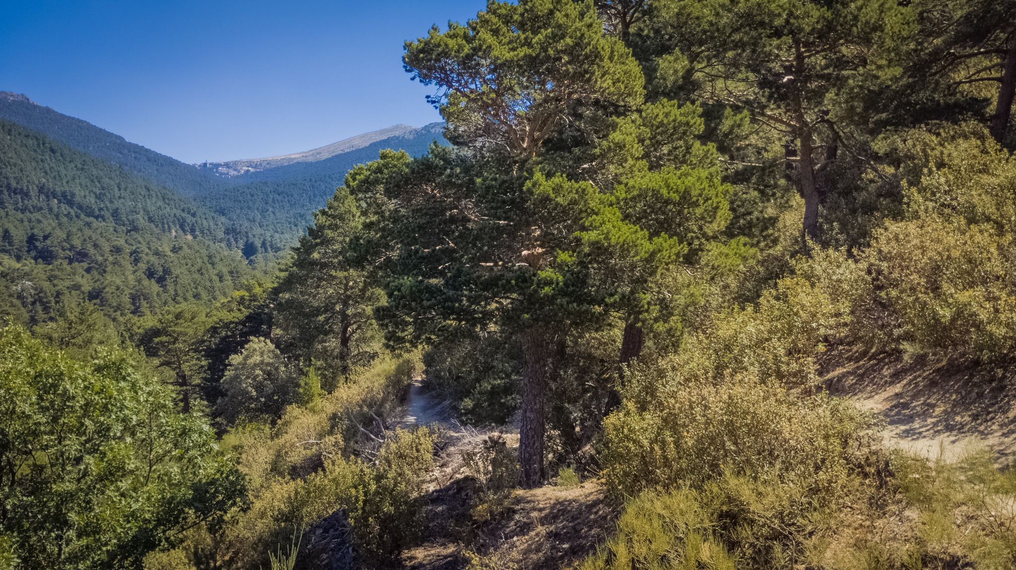
Views and reservoirs — walking in Madrid's Guadarrama Mountains
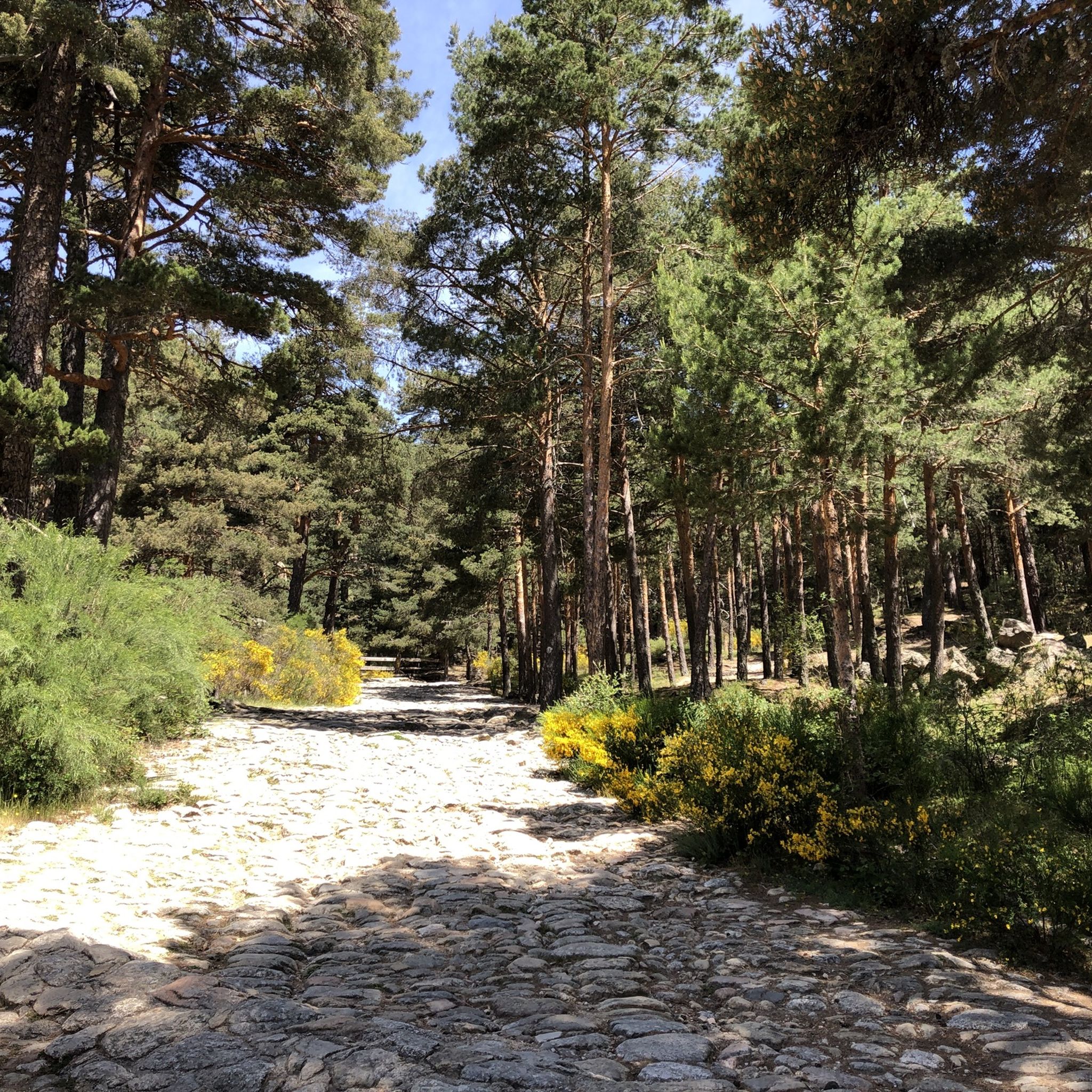
Hiking in Cuenca Alta Del Manzanares
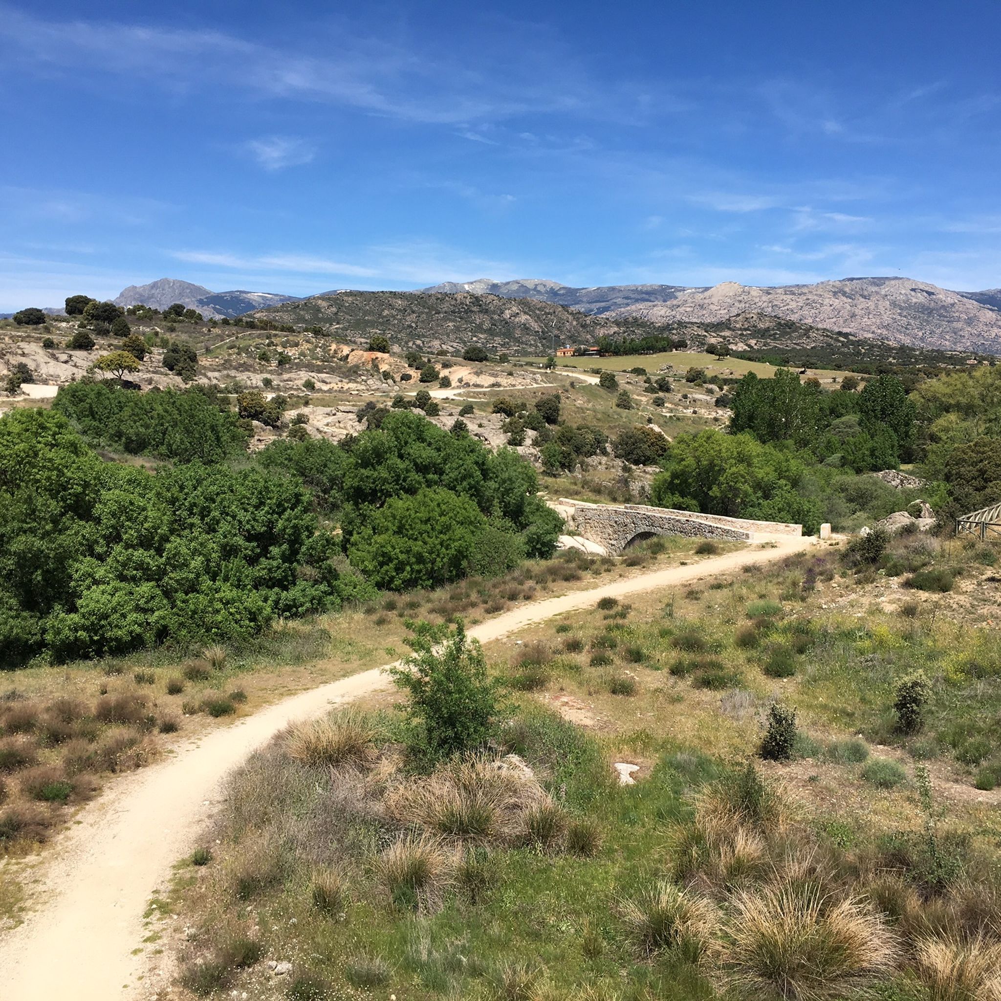
MTB Trails in Cuenca Alta Del Manzanares
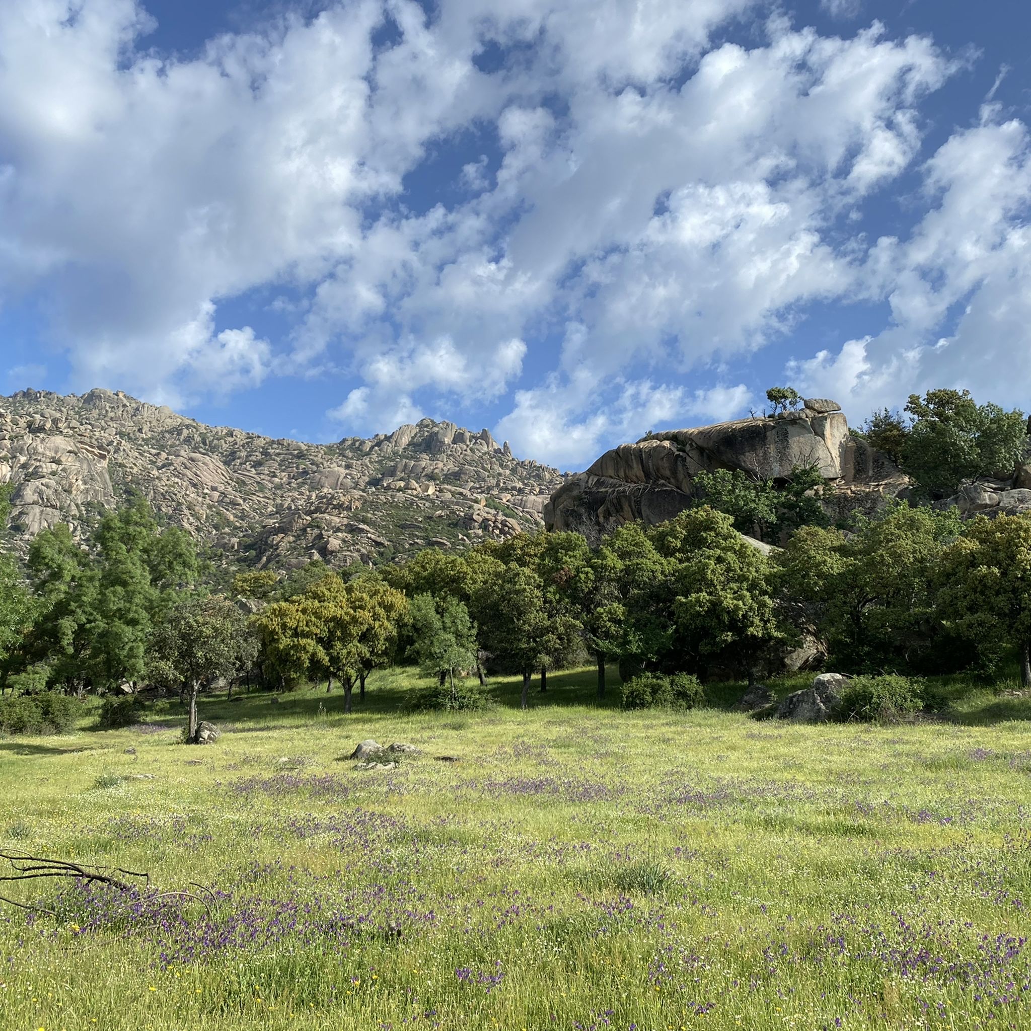
Running Trails in Cuenca Alta Del Manzanares
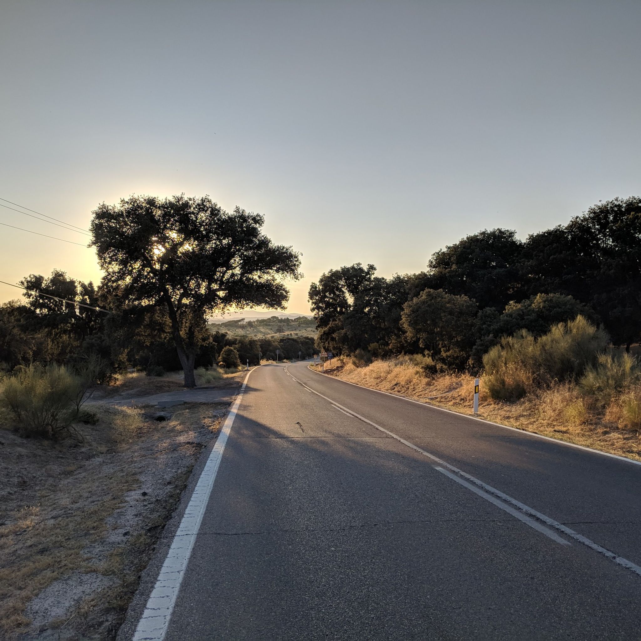
Road Cycling Routes in Cuenca Alta Del Manzanares
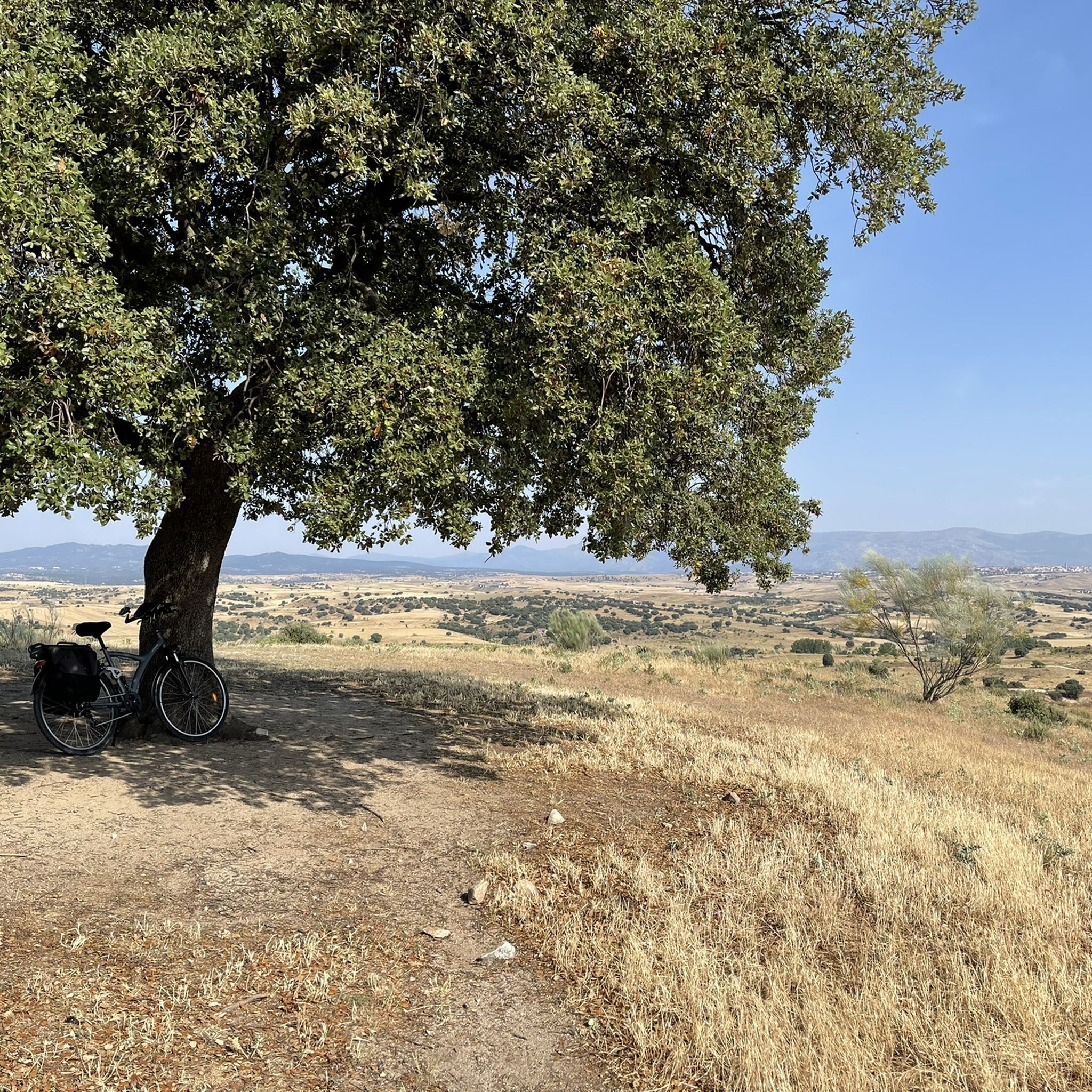
Cycling in Cuenca Alta Del Manzanares
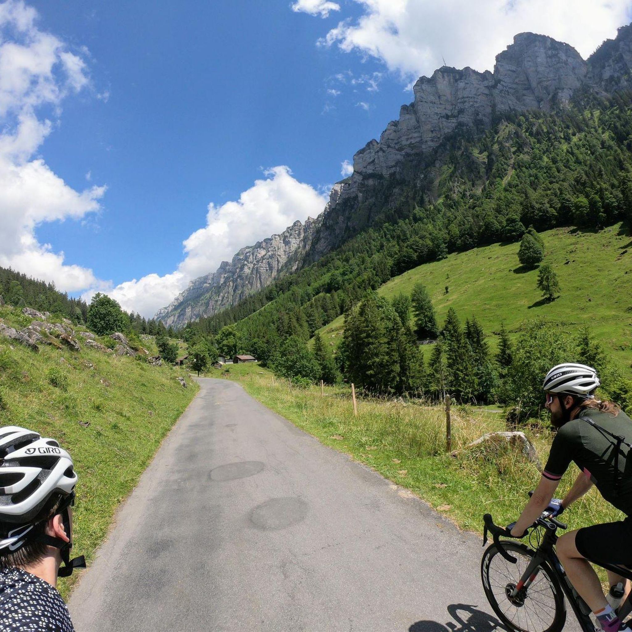
Gravel biking in Cuenca Alta Del Manzanares
Other adventures in Cuenca Alta Del Manzanares


Tips from the Community

It is located in the Sierra de Guadarrama mountain range, between the municipalities of Miraflores de la Sierra and Rascafría, in the Community of Madrid. From Miraflores de la Sierra (1200m), the route ascends approximately 600m over 10km (average gradient 4–6%), and after reaching the summit, it descends 13km to Rascafría (1150m) with a gradient of 4.5–7%.
6
0

They're currently rehabilitating it. Small, but it could save you in a storm.
0
0

It's cool to stop and listen to the water fall
0
0
The Camino Purricelli in Cercedilla is an ancient road that is part of the rich historical and natural heritage of the Sierra de Guadarrama. Its origin dates back to the late 19th and early 20th centuries, when it was built as a forest road to facilitate access and transport of wood from the dense forests of the area.
0
0
It is one of the few peaks that has a name, the others except the first peak, Majalasna, are numbered.
0
0

Although it is not relevant, could you tell me where there are walking groups in Madrid? Thanks.
0
0

A rest for the eyes.
1
0
Frequently Asked Questions
What kind of terrain can I expect on mountaineering routes in Cuenca Alta del Manzanares?
Mountaineering in Cuenca Alta del Manzanares is primarily characterized by the distinctive granite rock formations of La Pedriza and the rugged peaks of the Sierra de Guadarrama foothills. You'll encounter diverse ecosystems, including pine forests, holm oak groves, and juniper groves, with elevations reaching over 2000 meters in the northern sections. The routes vary from rocky, challenging ascents to paths through expansive forests.
How many mountaineering routes are available in Cuenca Alta del Manzanares?
There are over 30 mountaineering routes available in Cuenca Alta del Manzanares. These include a mix of moderate and difficult trails, offering options for various skill levels. Approximately 10 routes are rated as moderate, and 20 are considered difficult.
Are there any family-friendly mountaineering options in Cuenca Alta del Manzanares?
While many routes are rated difficult, some sections and shorter trails within the park can be suitable for families, especially those with some hiking experience. For a moderate option that offers beautiful views without extreme difficulty, consider the La Najarra – Refugio La Najarra loop from Puerto de la Morcuera, which is about 5.5 km long.
What are some notable natural features or viewpoints I can see along the routes?
Cuenca Alta del Manzanares offers stunning natural features and panoramic viewpoints. You can enjoy breathtaking vistas from Valdeliganar Viewpoint and Las Canchas Viewpoint, which provide extensive views of the Sierra de Guadarrama and the Barranca Valley. The region also features the protected Santillana Reservoir and the picturesque Scots Pine Forests of La Barranca.
Are dogs allowed on the mountaineering trails in Cuenca Alta del Manzanares?
Cuenca Alta del Manzanares is a protected natural area and a UNESCO Biosphere Reserve. While dogs are generally permitted on trails, it's crucial to keep them on a leash to protect local wildlife and ensure their safety. Always check specific trail regulations before you go, as some areas might have stricter rules, especially during nesting seasons.
What is the best time of year for mountaineering in Cuenca Alta del Manzanares?
The best time for mountaineering in Cuenca Alta del Manzanares is typically during the spring (April to June) and autumn (September to November) when temperatures are milder and the landscapes are vibrant. Summer can be very hot, especially at lower elevations, while winter can bring snow and ice to higher peaks, requiring specialized equipment and experience.
Are there any circular mountaineering routes in the region?
Yes, many of the mountaineering routes in Cuenca Alta del Manzanares are designed as circular loops, allowing you to start and end at the same point. An example is the challenging La Peñota Peak – La Peñota loop from Cercedilla, which covers about 10 km and offers significant elevation gain.
What kind of wildlife might I encounter while mountaineering?
Cuenca Alta del Manzanares is a sanctuary for diverse wildlife. You might spot various bird species, including endangered ones like black stork colonies, kingfishers, eagle owls, black vultures, Spanish imperial eagles, and boot eagles. Mammals such as wild boars, deer, and various small predators also inhabit the area, making it a great spot for nature observation.
Do I need any special permits for mountaineering in Cuenca Alta del Manzanares?
Generally, no special permits are required for hiking or mountaineering on established trails within the Cuenca Alta del Manzanares Regional Park. However, for specific activities like rock climbing in certain areas of La Pedriza, or for large organized groups, it's advisable to check with the park authorities for any specific regulations or permit requirements.
Where can I find parking near the trailheads?
Parking is available at various access points and towns surrounding the park, such as Manzanares el Real, Cantocochino, and Cercedilla. These areas often have designated parking lots, though they can fill up quickly during peak seasons or weekends. It's recommended to arrive early, especially for popular trailheads.
What do other mountaineers say about the routes in Cuenca Alta del Manzanares?
The mountaineering routes in Cuenca Alta del Manzanares are highly rated by the komoot community, with an average score of 4.8 stars from over 10 reviews. Mountaineers often praise the challenging granite formations, the stunning panoramic views, and the diverse natural beauty of the region.
Are there any historical sites or landmarks to explore in the area?
Beyond its natural beauty, the region boasts historical significance. You can explore the well-preserved Roman Road of Puerto de la Fuenfría, the beautiful 18th-century Marmot Bridge, or visit the impressive Manzanares el Real Castle, which offers a glimpse into the area's rich past.
Most popular routes in Cuenca Alta Del Manzanares
Most popular attractions in Cuenca Alta Del Manzanares

Get inspired with the komoot mobile app


Explore more
Browse the best Mountain Hikes & Routes in other regions.
