The best walks and hikes in Cuenca Alta Del Manzanares
4.6
(2114)
13,438
hikers
474
hikes
Hiking in Cuenca Alta Del Manzanares offers diverse natural landscapes within the Sierra de Guadarrama, part of a Biosphere Reserve. The region is characterized by unique granite rock formations, particularly in La Pedriza, extensive pine forests, and the Manzanares River with its associated water features. Hikers can explore a variety of terrains, from high mountains to valleys and riverbanks, within this ecologically significant area.
Best hiking trails in Cuenca Alta Del Manzanares
- The most popular hiking route is Barranca Valley Trail, a 5.8 miles (9.3 km) trail that takes 3 hours 8 minutes to complete. This moderate route leads through pine forests and offers views of the surrounding mountains.
- Another top favourite among local hikers is La Maliciosa y Bola del Mundo — circular desde La Barranca, a difficult 9.1 miles (14.6 km) path. This challenging trail involves significant elevation gain, leading to panoramic views from high mountain peaks.
- Local hikers also love the La Pedriza Circular Trail, a 9.0 miles (14.4 km) trail leading through the unique granite rock formations of La Pedriza, often completed in about 4 hours 22 minutes.
- Hiking in Cuenca Alta Del Manzanares is defined by dramatic granite formations, extensive pine forests, and the Manzanares River. The network offers options for various ability levels, from moderate valley walks to difficult mountain ascents.
- The routes in Cuenca Alta Del Manzanares are highly rated by the komoot community with an average score of 4.6 stars from more than 1,900 reviews. More than 13,000 hikers have used komoot to explore Cuenca Alta Del Manzanares's varied terrain.
Last updated: July 7, 2026
4.8
(94)
572
hikers
9.30km
03:08
390m
390m
Hike a moderate 5.8-mile loop in Guadarrama National Park, featuring pine forests, panoramic views from Mirador de las Canchas, and varied t
4.8
(53)
458
hikers
14.6km
06:17
1,000m
1,000m
Hard hike. Very good fitness required. Mostly accessible paths. Sure-footedness required.

Sign up for free
4.8
(70)
268
hikers
14.4km
04:22
260m
260m
Hike the moderate 9.0-mile La Pedriza Circular Trail, featuring unique granite formations, the Charca Verde, and panoramic views.
4.7
(38)
374
hikers
11.2km
05:01
840m
840m
Hike the difficult 6.9-mile La Barranca - La Maliciosa Trail for challenging ascents and panoramic views in Guadarrama National Park.
4.7
(52)
227
hikers
9.69km
03:03
370m
370m
Hike the moderate 6.0-mile Pico de Majalasna Trail in Sierra de Guadarrama National Park, featuring pine forests and panoramic views.
Get access to more routes and recommendations from other explorers.
Sign up for free
Already have an account?
Our route recommendations are based on thousands of hikes, rides, and runs completed by other people on komoot.
Start today with a free account
Your next adventure awaits.
Login or Signup
Popular around Cuenca Alta Del Manzanares

The treasures of Guadarrama – on foot along the GR 10 in Madrid
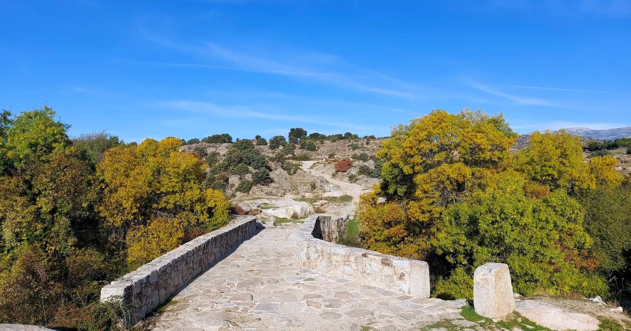
The Royal Path of Madrid – Senda Real (GR 124)
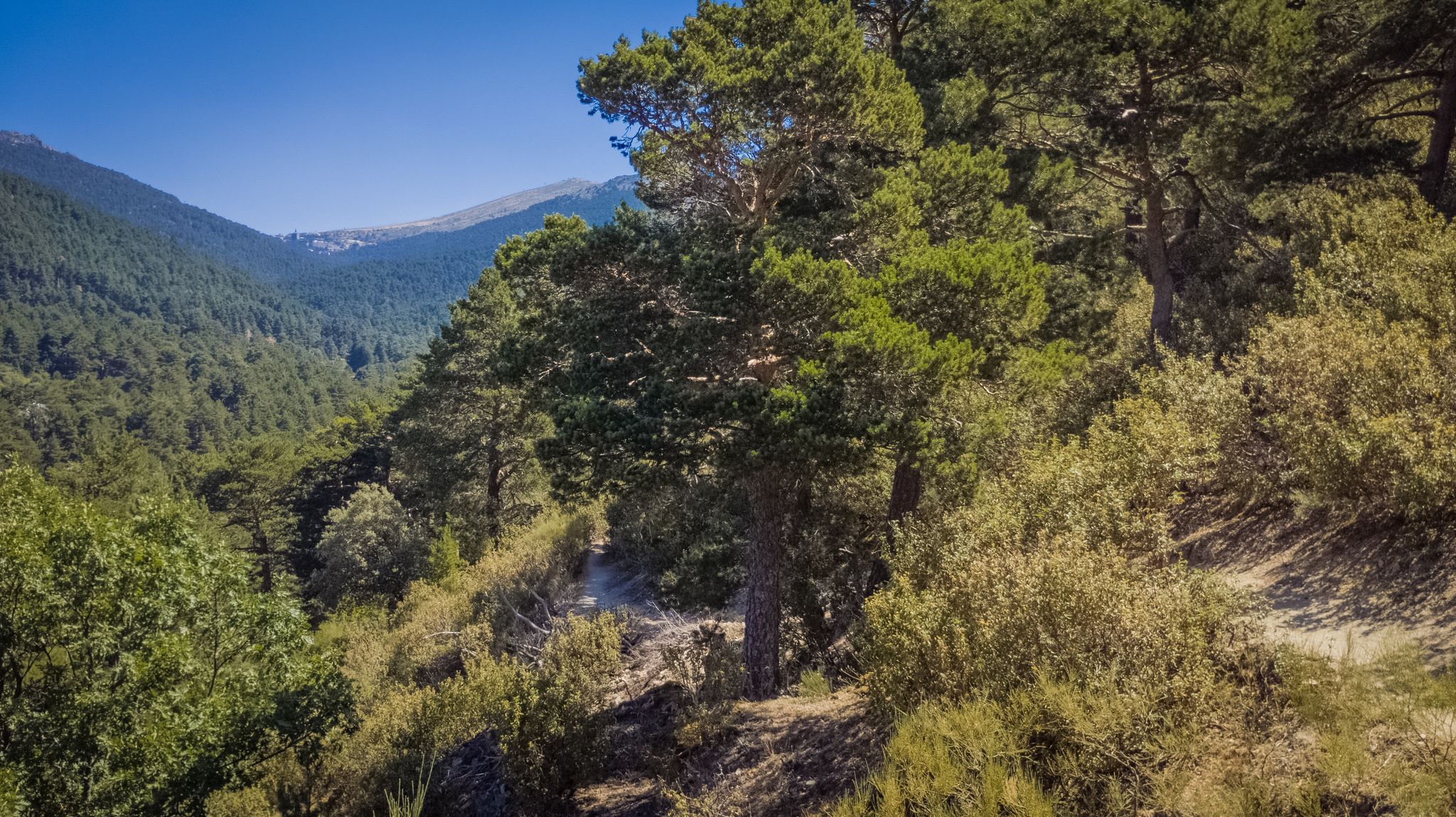
Views and reservoirs — walking in Madrid's Guadarrama Mountains
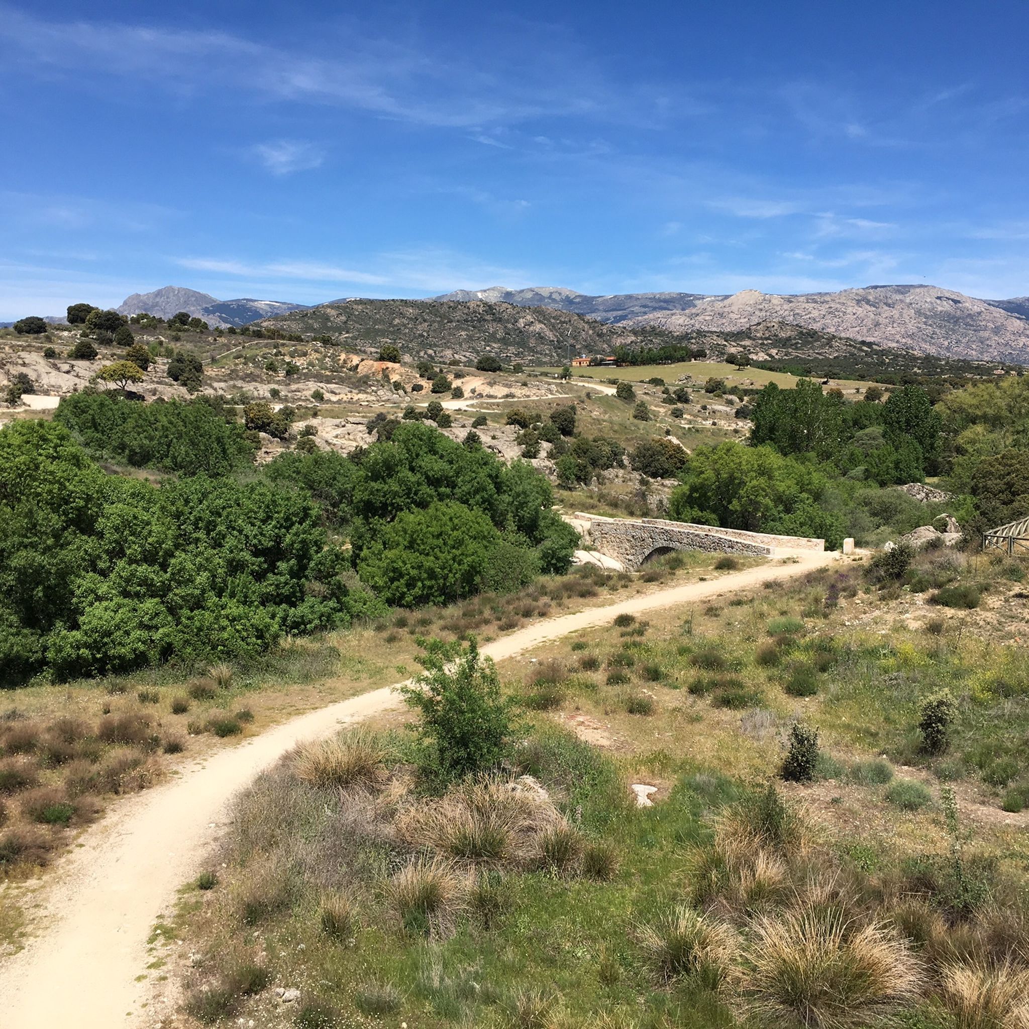
MTB Trails in Cuenca Alta Del Manzanares
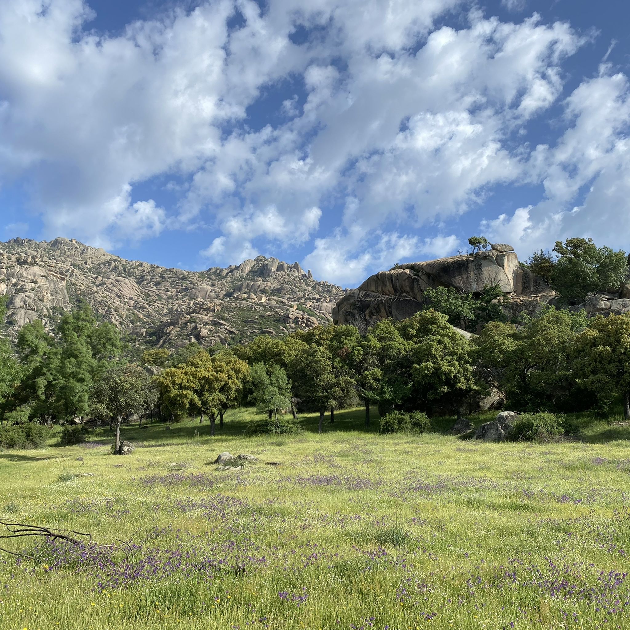
Running Trails in Cuenca Alta Del Manzanares
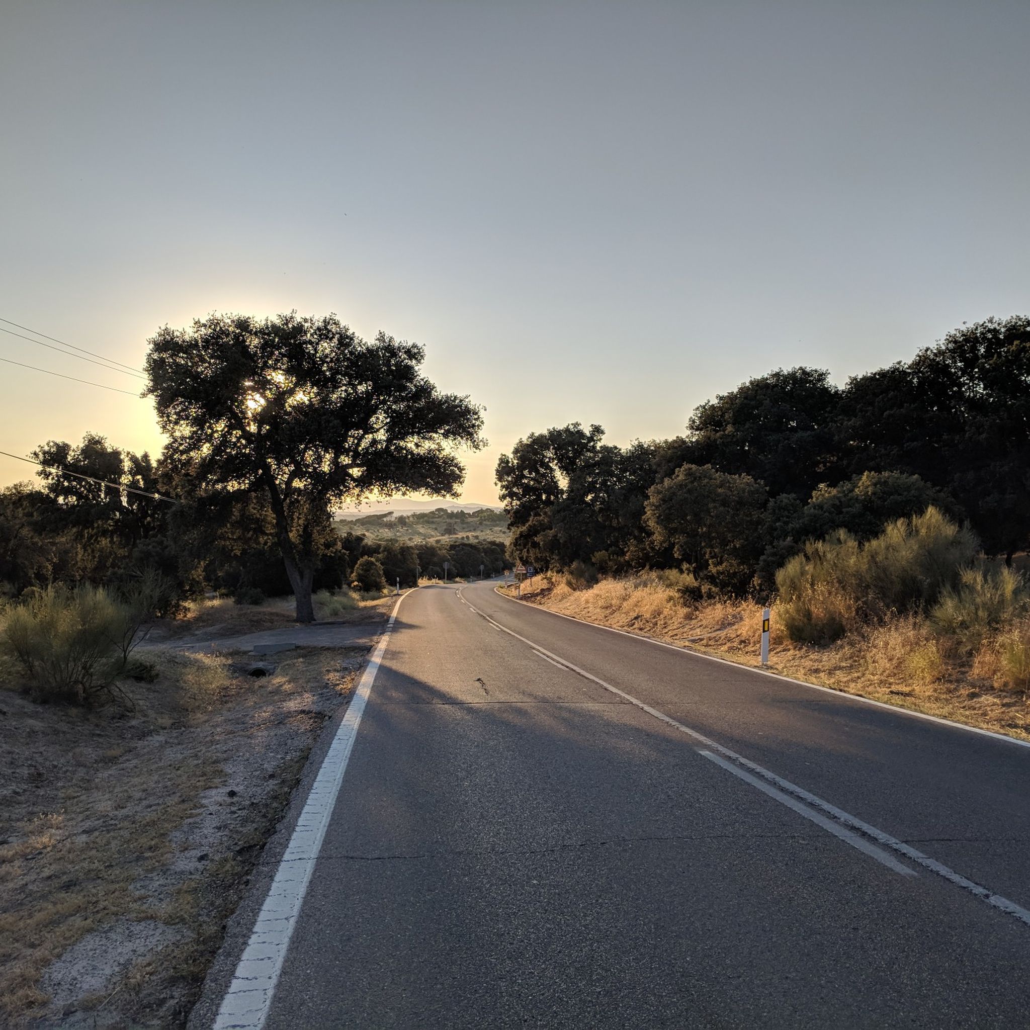
Road Cycling Routes in Cuenca Alta Del Manzanares
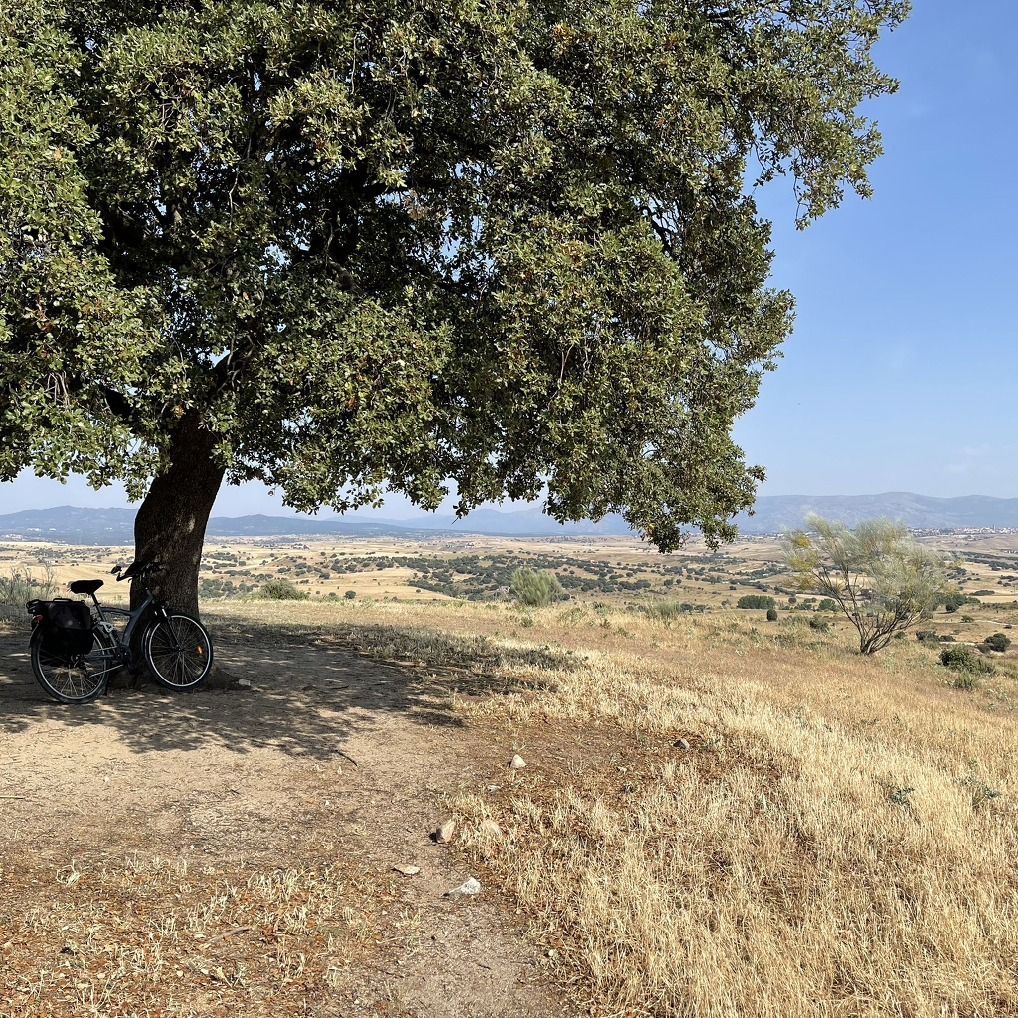
Cycling in Cuenca Alta Del Manzanares
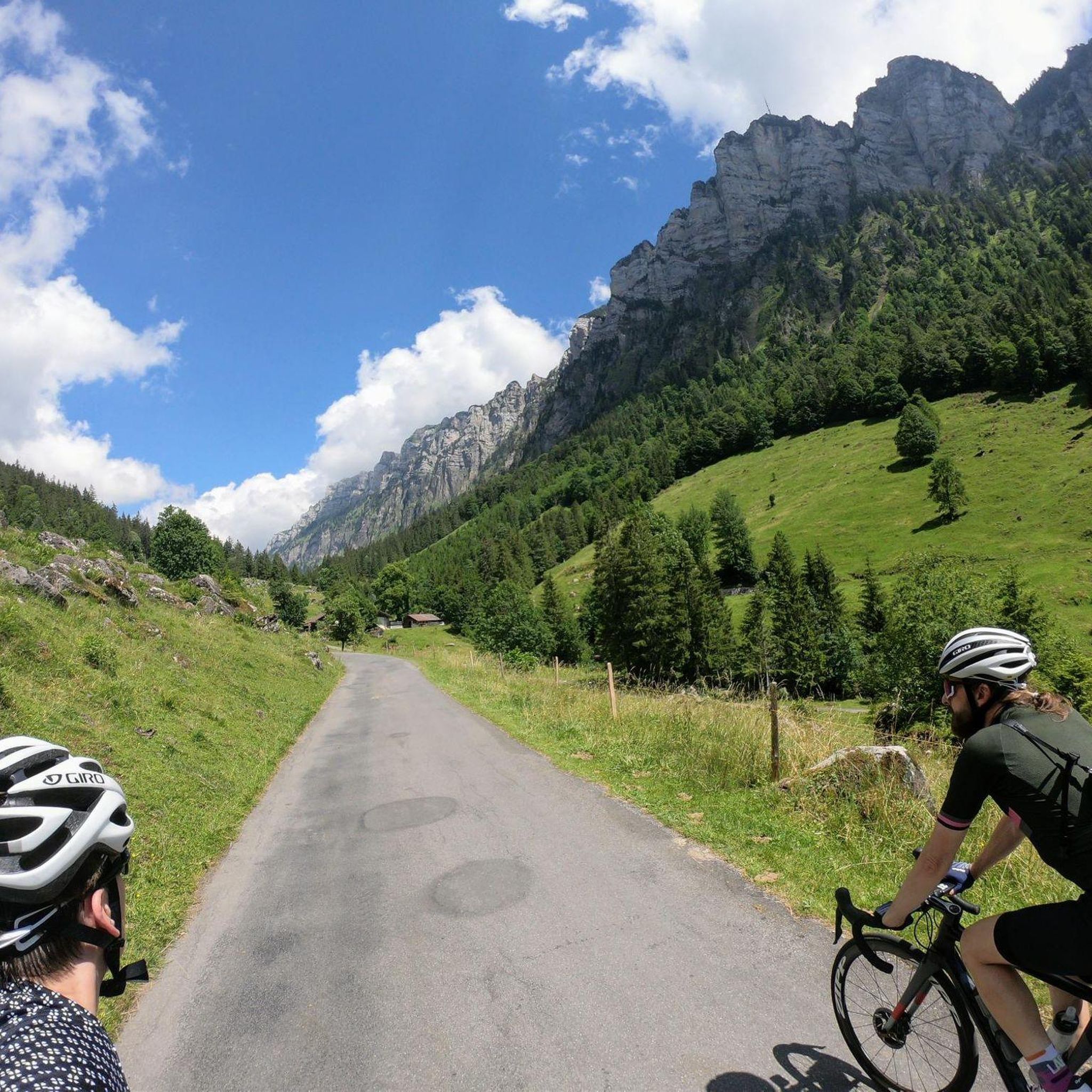
Gravel biking in Cuenca Alta Del Manzanares

Mountain Hikes in Cuenca Alta Del Manzanares
Other adventures in Cuenca Alta Del Manzanares


Tips from the Community

Strategic point from which excellent landscapes can be seen in the surrounding area.
0
0
High and difficult peak in the Sierra de Madrid, especially with clouds and winds.
0
0

Key Facts: Cela Sundial Location: It is located in the Pradera de Navarrulaque (Cercedilla), at an altitude of about 1,670 meters, right on the Carretera de la República. History: Inaugurated in 1995, it is a tribute to the writer (a great lover of the mountains and author of Cuadernos del Guadarrama) and to the first hikers who traversed these mountains. Curiosity: It is an analemmatic sundial. This means it does not have a fixed needle; you are the clock yourself. You have to stand on the current date marked on the ground, and your own shadow will indicate the time on the stone pieces surrounding you. Surroundings: It is on a beautiful route that passes by the Ducha de los Alemanes and the Miradores de los Poetas. I love this sundial in honor of Cela. It's super original because you interact with it to know the time. It's in a privileged spot in the Sierra de Cercedilla, surrounded by pine trees and with a lot of peace. A "rural monument" with a lot of charm that I never tire of visiting on my hikes through the Valle de la Fuenfría.
0
0

This reservoir is located in the beautiful Barranca valley
0
0
Beautiful place full of history.
0
0

Charca Verde is one of the most iconic and beautiful spots in La Pedriza, in the Sierra de Guadarrama National Park. It is a pool of crystal-clear, emerald-green water, formed by the Manzanares River and surrounded by large granite boulders.
15
0
The Mirador de las Canchas is one of the most outstanding panoramic points in the Sierra de Guadarrama, located in the Barranca Valley, within the municipality of Navacerrada, Madrid. From this viewpoint, located at an altitude of approximately 1,754 meters, you can enjoy stunning views of iconic mountains such as La Maliciosa and La Bola del Mundo, as well as the extensive pine forest in the valley and, on clear days, even the city of Madrid in the distance. The route to reach the viewpoint is of moderate difficulty and begins at the La Barranca parking lot. The route, approximately 9 kilometers round trip, runs mainly along a forest track with a gradient of approximately 350 meters, making it accessible to most hikers. During the ascent, you will cross lush pine forests and pass near landmarks such as the Fuente de la Campanilla and the remains of the old Guadarrama Sanatorium.
0
0
Just seeing the colors is worth it. Swimming is prohibited.
0
1
Frequently Asked Questions
How varied are the hiking trails in Cuenca Alta Del Manzanares in terms of difficulty?
Cuenca Alta Del Manzanares offers a wide range of hiking trails suitable for all experience levels. You'll find everything from easy strolls to challenging mountain ascents. There are over 100 easy routes, more than 250 moderate options, and over 120 difficult trails, ensuring there's something for everyone.
What kind of natural features and landscapes can I expect to see while hiking?
The region is renowned for its diverse and striking natural landscapes. You can expect to see unique granite rock formations, especially in La Pedriza, extensive pine forests, and the Manzanares River with its natural attractions like the Charca Verde. The area also features diverse ecosystems, including oak woodlands and meadows, all within the Sierra de Guadarrama National Park.
Are there any family-friendly hiking options in Cuenca Alta Del Manzanares?
Yes, Cuenca Alta Del Manzanares offers many family-friendly hiking options. With over 100 easy routes, you can find trails suitable for all ages. These often include paths through pine forests or along riverbanks, providing gentle terrain and beautiful scenery for a family outing.
Can I bring my dog on the hiking trails in Cuenca Alta Del Manzanares?
Yes, dogs are generally allowed on trails in Cuenca Alta Del Manzanares, which is part of the Sierra de Guadarrama National Park. However, it's always recommended to keep them on a leash, especially in areas with wildlife or near livestock, to protect both your pet and the local ecosystem. Specific regulations may apply in certain protected zones, so check local signage.
Are there any circular hiking routes available?
Yes, there are several excellent circular hiking routes. A popular choice is the La Pedriza Circular Trail, which takes you through the iconic granite rock formations. Another challenging circular option is La Maliciosa y Bola del Mundo — circular desde La Barranca, offering panoramic views from high mountain peaks.
What are some easy hiking trails for beginners in Cuenca Alta Del Manzanares?
For beginners, the region offers over 100 easy routes. A great starting point is the Barranca Valley Trail, a moderate route that leads through beautiful pine forests and offers pleasant views without significant elevation gain. These trails are perfect for those new to hiking or looking for a relaxed walk.
What is the best time of year to go hiking in Cuenca Alta Del Manzanares?
Cuenca Alta Del Manzanares is enjoyable for hiking throughout much of the year. Spring and autumn offer pleasant temperatures and vibrant scenery, with wildflowers in spring and colorful foliage in autumn. Summer can be warm, making early morning or late afternoon hikes ideal, especially in shaded forest areas. Winter hiking is also possible, particularly on lower elevation trails, though higher peaks may require snow gear.
What do other hikers enjoy most about hiking in Cuenca Alta Del Manzanares?
The area is highly rated by the komoot community, with an average score of 4.6 stars from over 1,900 reviews. Hikers often praise the dramatic granite formations of La Pedriza, the extensive pine forests, and the refreshing water features like the Manzanares River. The diverse terrain and well-maintained paths also receive frequent positive feedback.
Are there any notable landmarks or viewpoints along the hiking trails?
Yes, the region is rich in landmarks and offers breathtaking viewpoints. In La Pedriza, look for unique rock formations like El Elefantito and La Cara y Cuatro Damas. For panoramic views, the Mirador de las Canchas in the Barranca Valley provides vistas of mountains like La Maliciosa and La Bola del Mundo. You can also explore historical sites like the Manzanares el Real Castle.
Can I spot wildlife while hiking in Cuenca Alta Del Manzanares?
Yes, Cuenca Alta Del Manzanares is a biodiversity hotspot and offers excellent opportunities for wildlife observation. The park is home to protected species such as black stork colonies, kingfishers, eagle owls, black vultures, and booted eagles. Keep an eye out, especially in quieter areas and near water sources, for a chance to see these animals in their natural habitat.
How can I get to the hiking trails by public transport, and is parking available?
Cuenca Alta Del Manzanares is relatively accessible from Madrid. Many trailheads, especially those near towns like Manzanares el Real, can be reached by public transport, typically buses from Madrid. Parking is generally available at popular trailheads and visitor centers, though it can fill up quickly during peak seasons or weekends. Arriving early is advisable.
Are there any places to eat or drink near the hiking trails?
Yes, the region encompasses several charming towns and villages that have grown alongside the natural space. These towns, such as Manzanares el Real, offer various amenities including cafes, restaurants, and accommodation options where you can refuel and relax after your hike.
Most popular routes in Cuenca Alta Del Manzanares
Most popular attractions in Cuenca Alta Del Manzanares

Get inspired with the komoot mobile app


Explore more
Browse the best Hikes in other regions.
